Elevation of Lavina, MT, USA
Location: United States > Montana > Golden Valley County >
Longitude: -108.93793
Latitude: 46.2946805
Elevation: 1047m / 3435feet
Barometric Pressure: 89KPa
Elevation Map:
Satellite Map:
Related Photos:

Lavina, Montana 59046

Belmont, Montana 59009

Cattle Rancher

Round-up

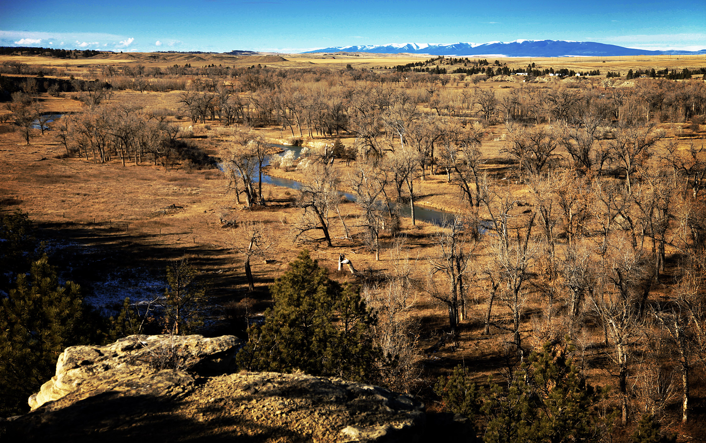
Lavina, Montana 59046

Lavina, Montana
The Ballard Ranch

Jim Ballard

Golden Valley County, Montana

Golden Valley County, Montana

Weather Changing

Cushman, Montana 59023

Musselshell County Line

ALCAN Drive, Taken on 2013-10-27, Pic #359
Topographic Map of Lavina, MT, USA
Find elevation by address:

Places near Lavina, MT, USA:
Belmont
Golden Valley County
Ryegate
Golden Valley Colony Ln, Ryegate, MT, USA
Rothiemay Rd, Ryegate, MT, USA
Franklin
259 Roland Rd
Klein
4 Halfbreed Creek Rd
Halfbreed Creek Road
40 Halfbreed Creek Rd
Rapelje, MT, USA
170 Canyon Rd
Molt
Acton
41 Dillman Rd
5020 Encampment Trail
13300 Buffalo Jump
100 Portal Dr
1345 P K Rd
Recent Searches:
- Elevation of Corso Fratelli Cairoli, 35, Macerata MC, Italy
- Elevation of Tallevast Rd, Sarasota, FL, USA
- Elevation of 4th St E, Sonoma, CA, USA
- Elevation of Black Hollow Rd, Pennsdale, PA, USA
- Elevation of Oakland Ave, Williamsport, PA, USA
- Elevation of Pedrógão Grande, Portugal
- Elevation of Klee Dr, Martinsburg, WV, USA
- Elevation of Via Roma, Pieranica CR, Italy
- Elevation of Tavkvetili Mountain, Georgia
- Elevation of Hartfords Bluff Cir, Mt Pleasant, SC, USA