Elevation of P K Rd, Shepherd, MT, USA
Location: United States > Montana > Yellowstone County > Shepherd >
Longitude: -108.45502
Latitude: 46.0992109
Elevation: 1080m / 3543feet
Barometric Pressure: 89KPa
Elevation Map:
Satellite Map:
Related Photos:
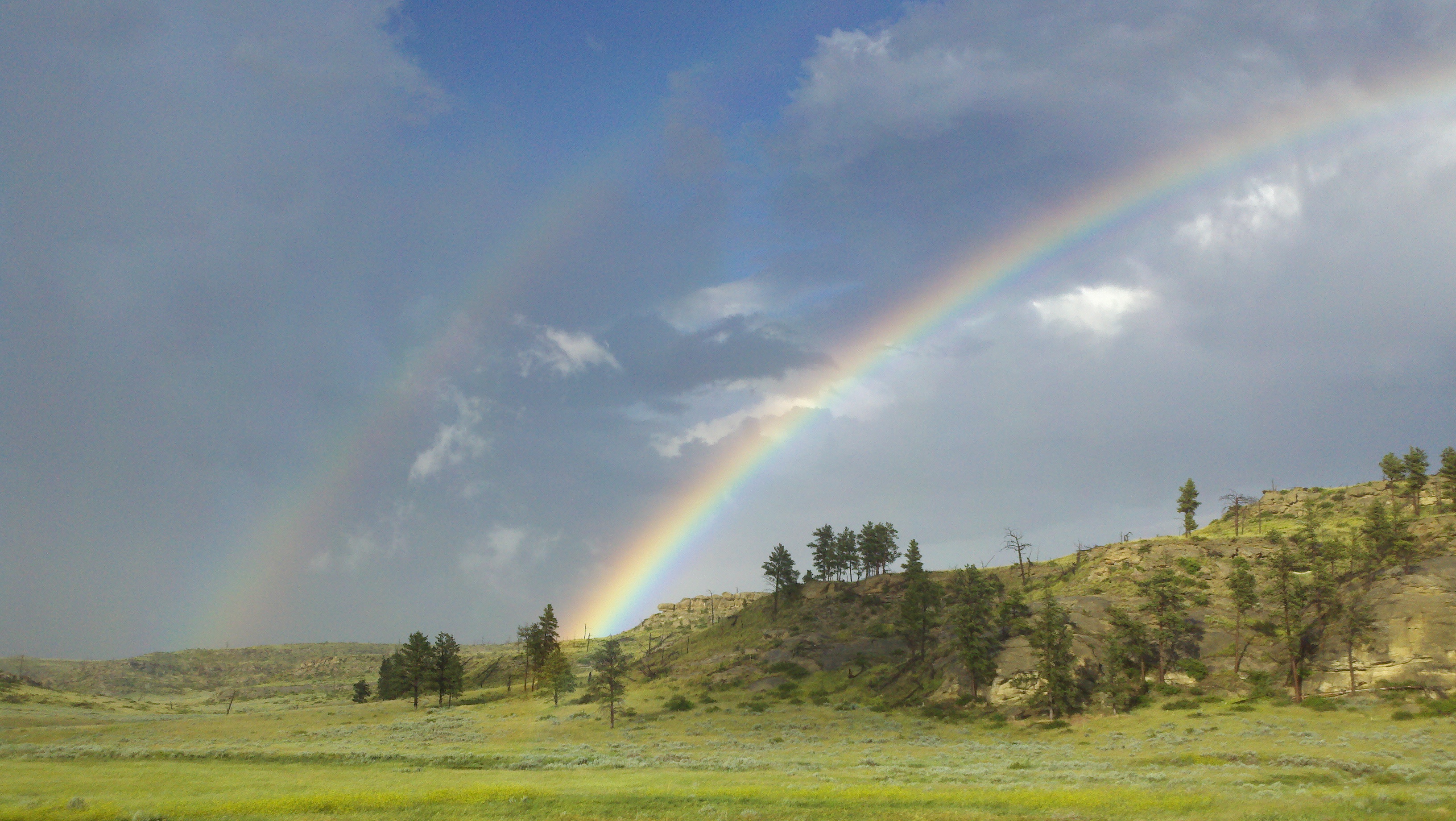
2011-07-14_18-50-04_162

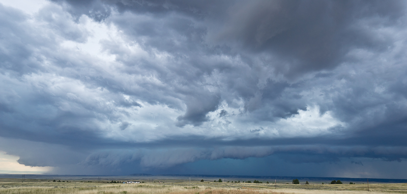
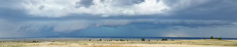
That's the storm we rode through

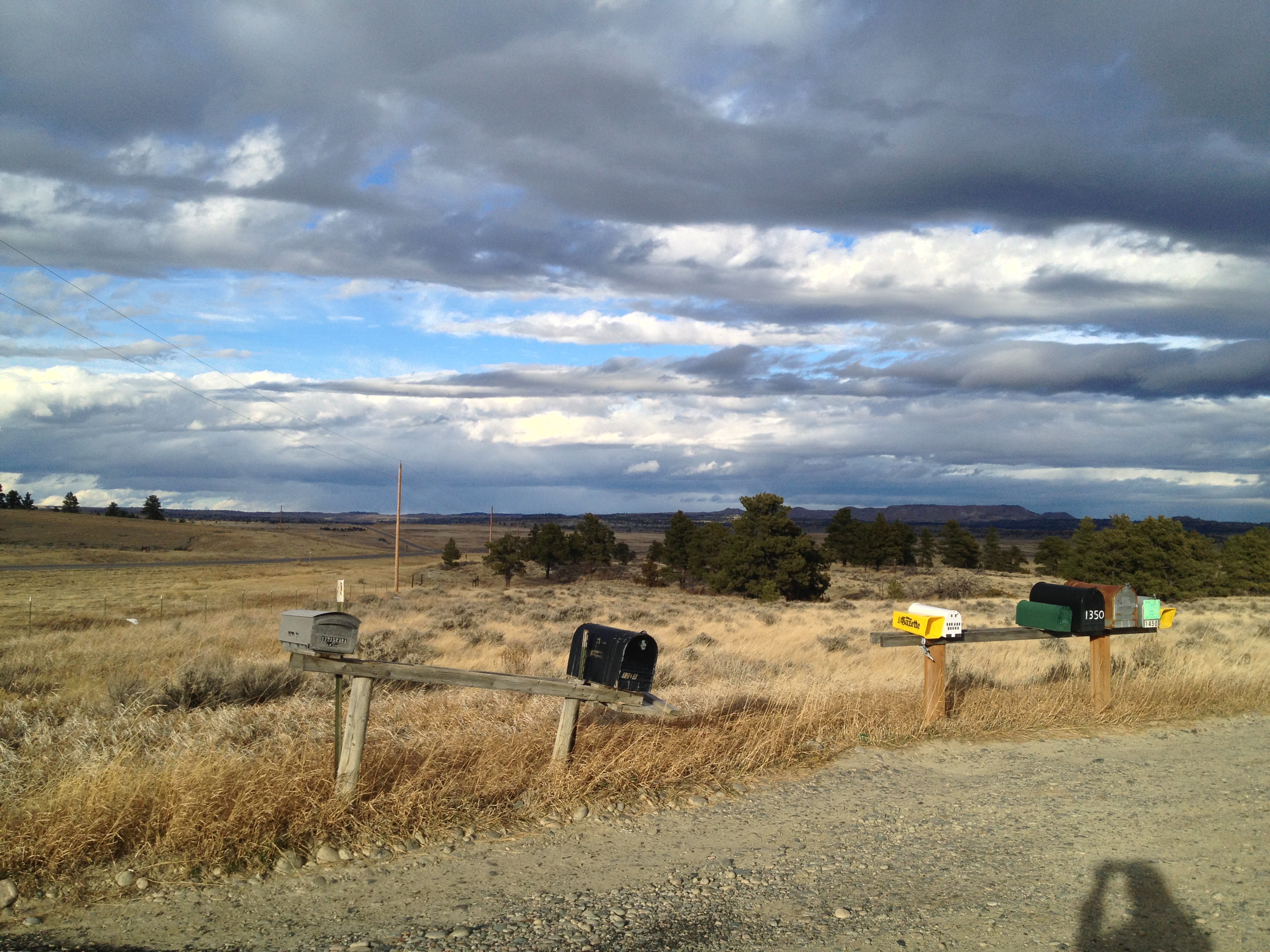
Still Standing...
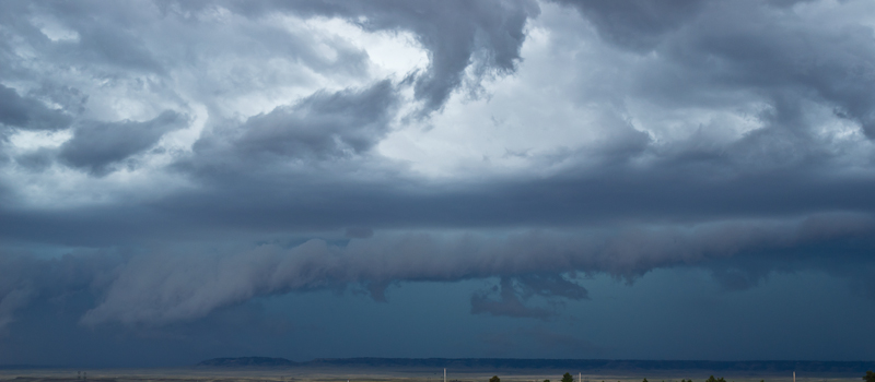
Montana Gold

Not Long

Prairie Roses
Jullie-5231

Summer Scene
Jullie-5240
Jullie-5230
Crooked Creek, Fergus County,MT
Topographic Map of P K Rd, Shepherd, MT, USA
Find elevation by address:

Places near P K Rd, Shepherd, MT, USA:
6043 Pleasant Hollow Trail
100 Portal Dr
41 Dillman Rd
Shepherd
Billings, MT, USA
170 Canyon Rd
259 Roland Rd
Huntley
5020 Encampment Trail
Billings Heights
Heights
42 Almadin Ln
347 Westchester Square N
28 Jubilee St
1266 Grubstake Cir
Acton
Tabriz Drive
Halfbreed Creek Road
40 Halfbreed Creek Rd
4 Halfbreed Creek Rd
Recent Searches:
- Elevation of Corso Fratelli Cairoli, 35, Macerata MC, Italy
- Elevation of Tallevast Rd, Sarasota, FL, USA
- Elevation of 4th St E, Sonoma, CA, USA
- Elevation of Black Hollow Rd, Pennsdale, PA, USA
- Elevation of Oakland Ave, Williamsport, PA, USA
- Elevation of Pedrógão Grande, Portugal
- Elevation of Klee Dr, Martinsburg, WV, USA
- Elevation of Via Roma, Pieranica CR, Italy
- Elevation of Tavkvetili Mountain, Georgia
- Elevation of Hartfords Bluff Cir, Mt Pleasant, SC, USA