Elevation of Pleasant Hollow Trail, Shepherd, MT, USA
Location: United States > Montana > Yellowstone County > Shepherd >
Longitude: -108.33135
Latitude: 46.006962
Elevation: 970m / 3182feet
Barometric Pressure: 90KPa
Elevation Map:
Satellite Map:
Related Photos:
Shepherd, Montana 59079
Worden, Montana 59088
Huntley, Montana 59037

Bales and Layers

090805.004
Montana Gold

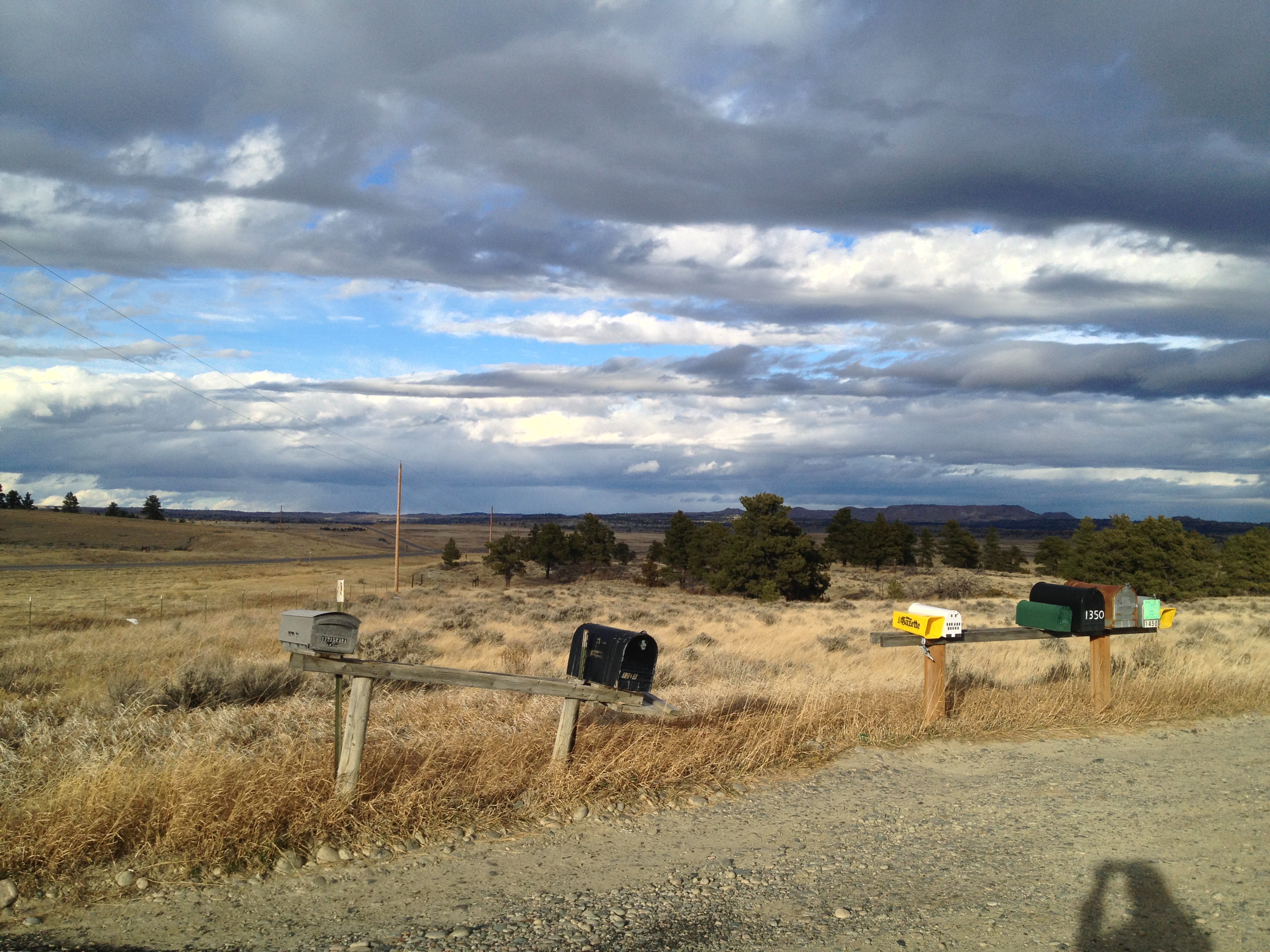
Somewhere Near Shepherd, MT 7

140719-01 (2014-07-21) - 0208

PhonePics 406

PhonePics 405
PhonePics 402
Topographic Map of Pleasant Hollow Trail, Shepherd, MT, USA
Find elevation by address:

Places near Pleasant Hollow Trail, Shepherd, MT, USA:
Shepherd
Huntley
1345 P K Rd
Billings, MT, USA
Billings Heights
28 Jubilee St
Heights
42 Almadin Ln
1266 Grubstake Cir
347 Westchester Square N
Yellowstone County
Tabriz Drive
Billings
100 Portal Dr
2511 1st Ave N
3401 Coburn Rd
547 Garden Ave
543 Yellowstone Ave
Thousand Oaks Street
Central - Terry
Recent Searches:
- Elevation of Corso Fratelli Cairoli, 35, Macerata MC, Italy
- Elevation of Tallevast Rd, Sarasota, FL, USA
- Elevation of 4th St E, Sonoma, CA, USA
- Elevation of Black Hollow Rd, Pennsdale, PA, USA
- Elevation of Oakland Ave, Williamsport, PA, USA
- Elevation of Pedrógão Grande, Portugal
- Elevation of Klee Dr, Martinsburg, WV, USA
- Elevation of Via Roma, Pieranica CR, Italy
- Elevation of Tavkvetili Mountain, Georgia
- Elevation of Hartfords Bluff Cir, Mt Pleasant, SC, USA