Elevation of Rushoon, NL, Canada
Location: Canada > Newfoundland And Labrador > Division No. 2 >
Longitude: -54.915129
Latitude: 47.354595
Elevation: 13m / 43feet
Barometric Pressure: 0KPa
Related Photos:
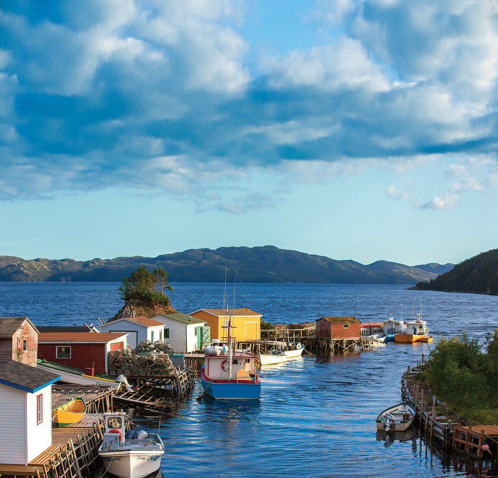
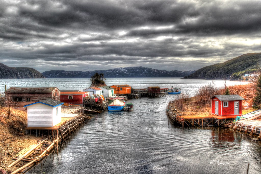
Community of Parker's Cove, Burin Peninsula
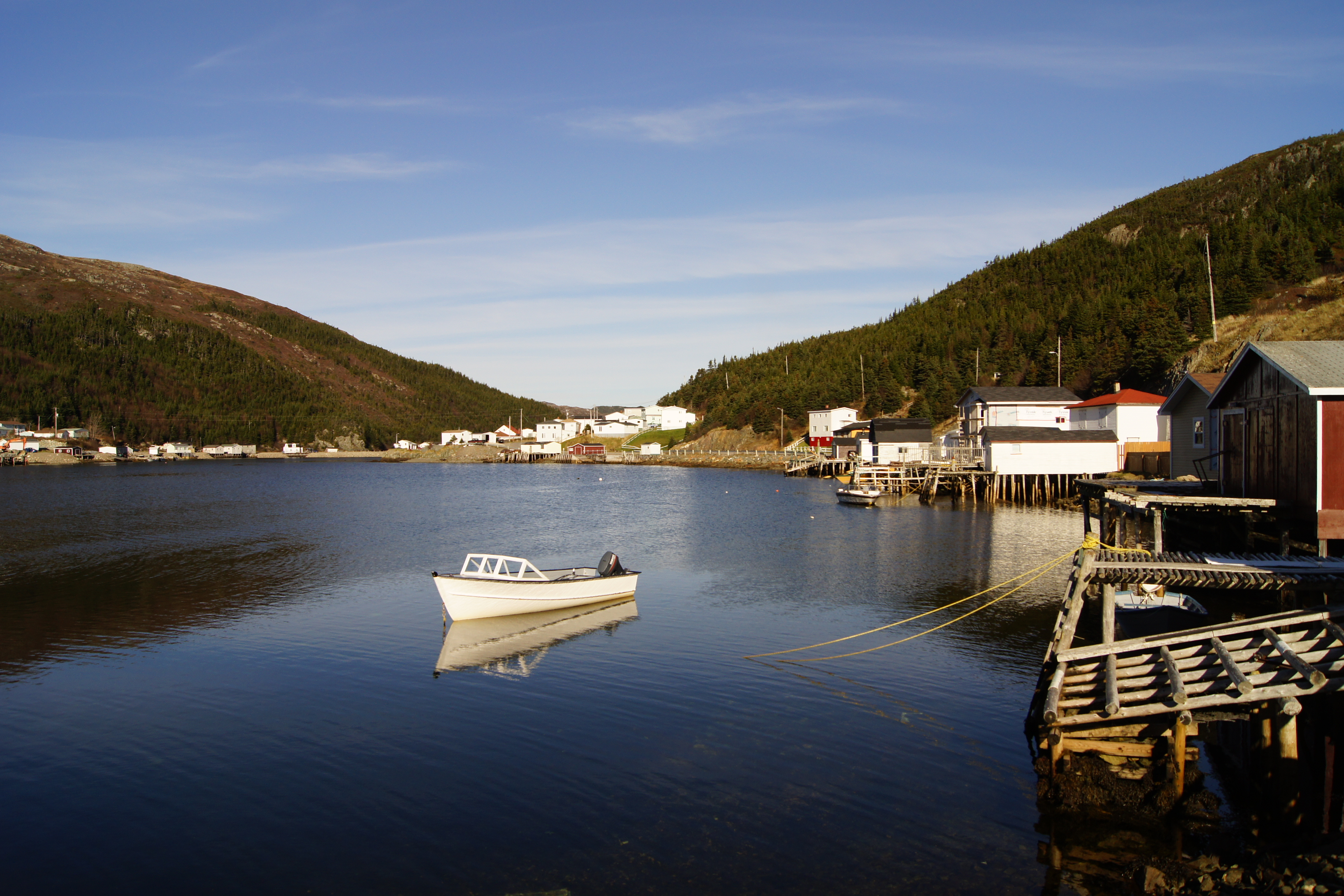
Rural Rushoon
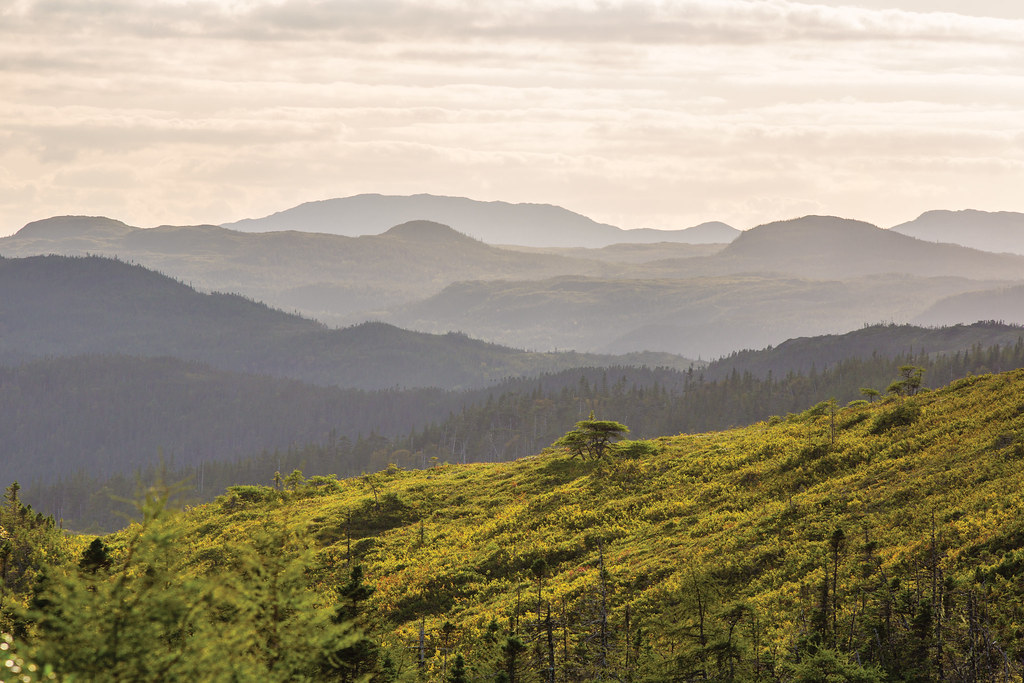
Burin Highway near Marystown
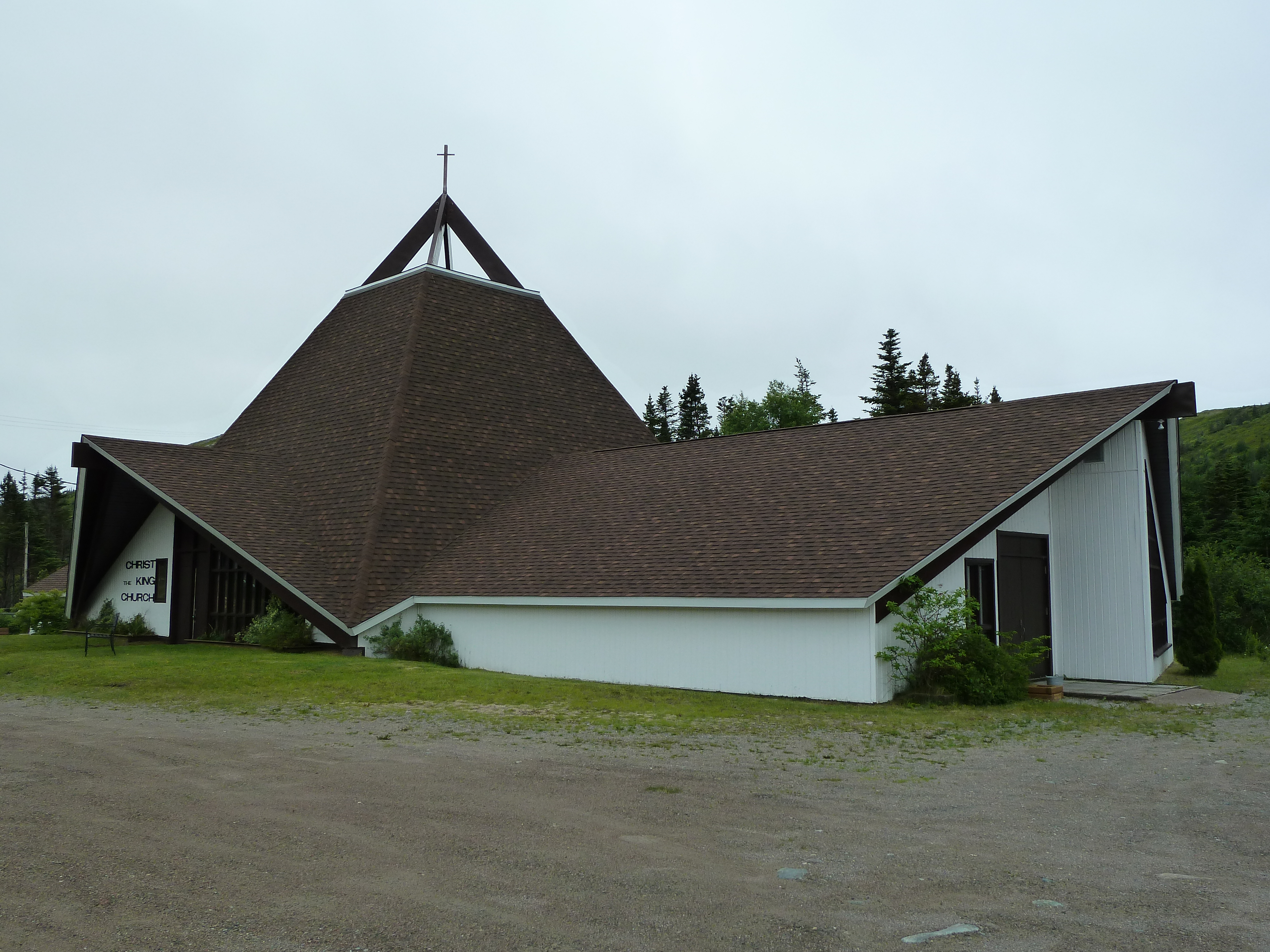
Rushoon, église Christ the King
Parker's Cove

Péninsule de Burin - Frenchman's cove (1)
Topographic Map of Rushoon, NL, Canada
Find elevation by address:

Places near Rushoon, NL, Canada:
Parkers Cove
Red Harbour
Division No. 2
Spanish Room
Marystown
30 Collins Ln, Burin, NL A0E 1E0, Canada
30 Burin Bay Crescent, Epworth, NL A0E 1N0, Canada
Sunset Drive
Hwy, Garnish, NL A0E 1T0, Canada
Golf Course Road
Frenchman's Cove
68 Hwy, Frenchman's Cove, NL A0E 1R0, Canada
15 NL-, Belleoram, NL A0H 1B0, Canada
Harbour Dr, Belleoram, NL A0H 1B0, Canada
Pool's Cove
Saint Jacques-coomb's Cove
26 NL-, English Harbour West, NL A0H 1M0, Canada
Division No. 2, Subd. H
Beach Avenue
Sharon's Nook
Recent Searches:
- Elevation map of Greenland, Greenland
- Elevation of Sullivan Hill, New York, New York, 10002, USA
- Elevation of Morehead Road, Withrow Downs, Charlotte, Mecklenburg County, North Carolina, 28262, USA
- Elevation of 2800, Morehead Road, Withrow Downs, Charlotte, Mecklenburg County, North Carolina, 28262, USA
- Elevation of Yangbi Yi Autonomous County, Yunnan, China
- Elevation of Pingpo, Yangbi Yi Autonomous County, Yunnan, China
- Elevation of Mount Malong, Pingpo, Yangbi Yi Autonomous County, Yunnan, China
- Elevation map of Yongping County, Yunnan, China
- Elevation of North 8th Street, Palatka, Putnam County, Florida, 32177, USA
- Elevation of 107, Big Apple Road, East Palatka, Putnam County, Florida, 32131, USA
- Elevation of Jiezi, Chongzhou City, Sichuan, China
- Elevation of Chongzhou City, Sichuan, China
- Elevation of Huaiyuan, Chongzhou City, Sichuan, China
- Elevation of Qingxia, Chengdu, Sichuan, China
- Elevation of Corso Fratelli Cairoli, 35, Macerata MC, Italy
- Elevation of Tallevast Rd, Sarasota, FL, USA
- Elevation of 4th St E, Sonoma, CA, USA
- Elevation of Black Hollow Rd, Pennsdale, PA, USA
- Elevation of Oakland Ave, Williamsport, PA, USA
- Elevation of Pedrógão Grande, Portugal