Elevation map of Division No. 2, NL, Canada
Location: Canada > Newfoundland And Labrador >
Longitude: -55.034513
Latitude: 47.5223864
Elevation: -70m / -230feet
Barometric Pressure: 102KPa
Elevation Map:
Satellite Map:
Related Photos:
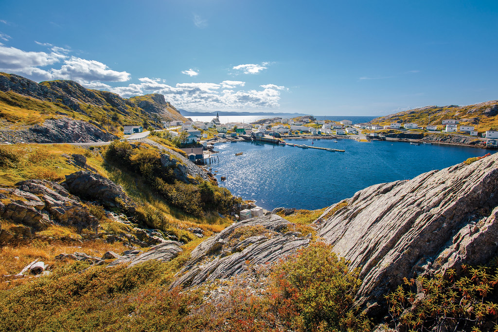
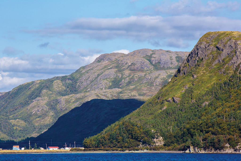
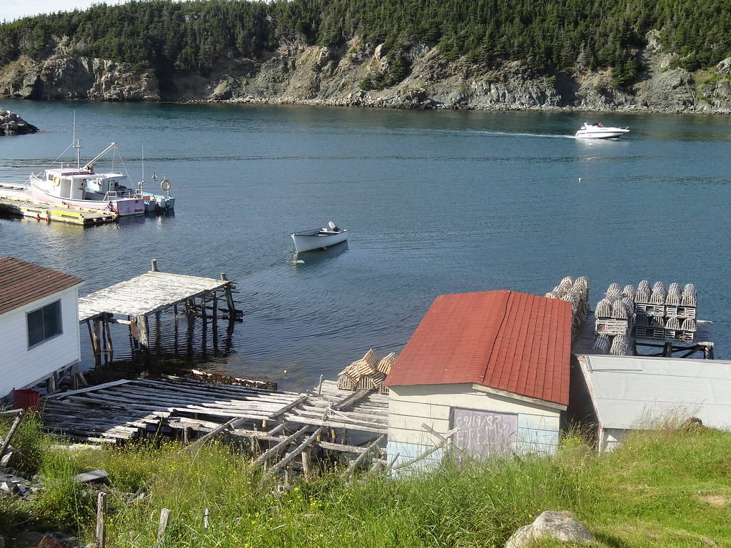
Coastal Views in Harbour Mille

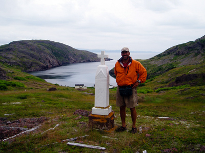
Long Harbor, Newfoundland
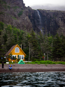
Long Harbor, Newfoundland
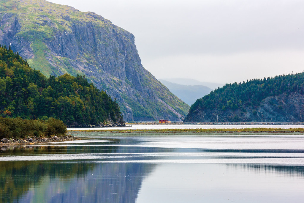
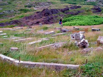
Little Bay East
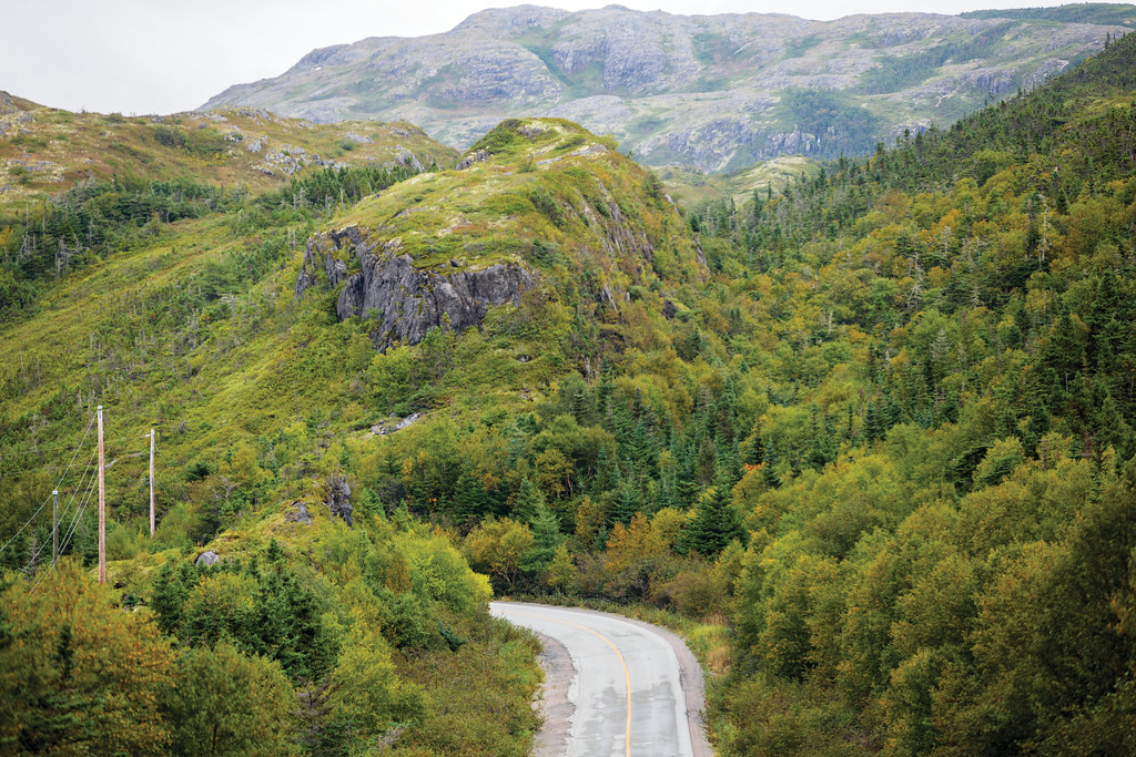
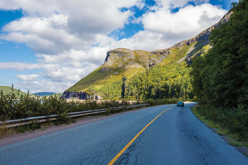
Drive to Bay L'Argent
Bay L'Argent
Drving through Little Bay East
Pénisule de Burin
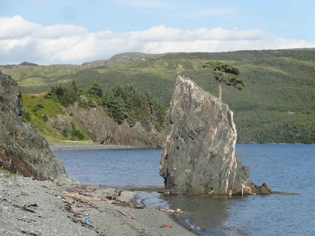
Stones Cove Panorama
Péninsule de Burin - St. Bernard (2)
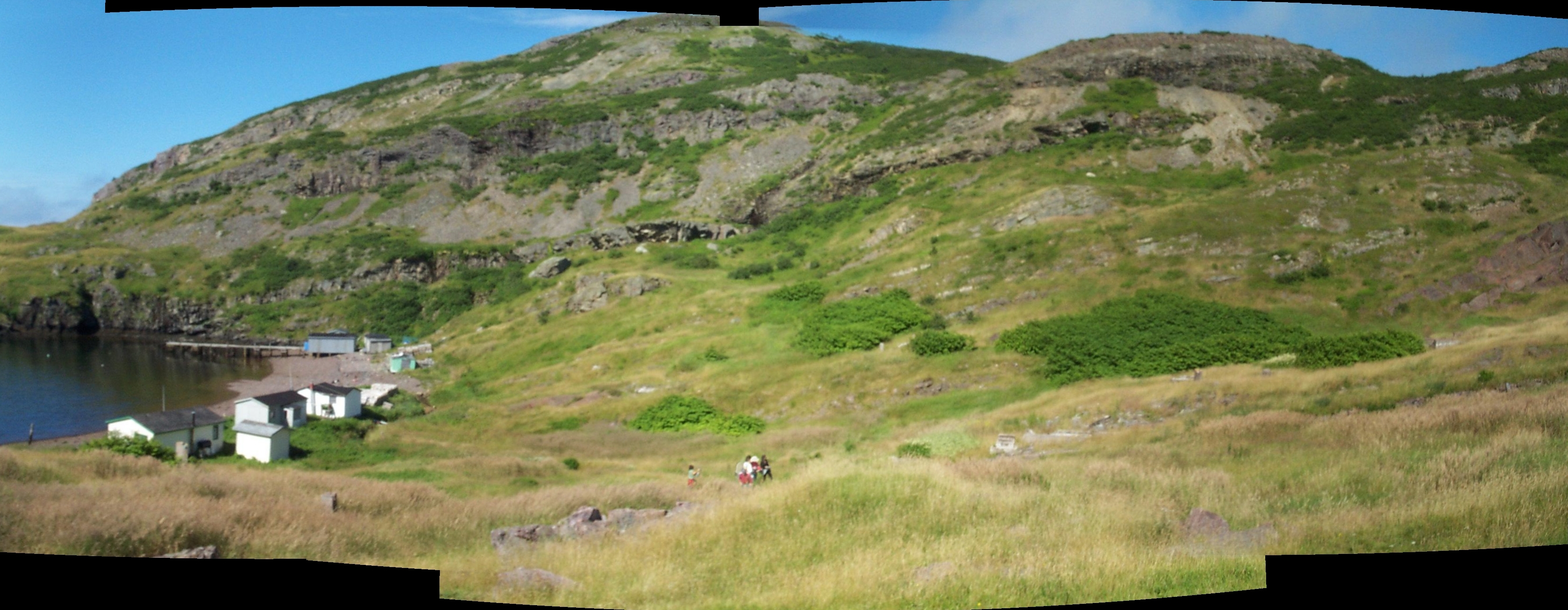
Outport, Newfoundland
Outport, Newfoundland
Topographic Map of Division No. 2, NL, Canada
Find elevation by address:

Places in Division No. 2, NL, Canada:
Frenchman's Cove
30 Burin Bay Crescent, Epworth, NL A0E 1N0, Canada
30 Collins Ln, Burin, NL A0E 1E0, Canada
Fortune
Beach Avenue
Sunset Drive
Schooner Drive
West Street Extension
Red Harbour
Rushoon
Spanish Room
Marystown
Parkers Cove
Division No. 2, Subd. H
Places near Division No. 2, NL, Canada:
Rushoon
Parkers Cove
Red Harbour
Spanish Room
Marystown
15 NL-, Belleoram, NL A0H 1B0, Canada
Harbour Dr, Belleoram, NL A0H 1B0, Canada
Pool's Cove
Sunset Drive
Hwy, Garnish, NL A0E 1T0, Canada
Frenchman's Cove
Golf Course Road
68 Hwy, Frenchman's Cove, NL A0E 1R0, Canada
30 Collins Ln, Burin, NL A0E 1E0, Canada
30 Burin Bay Crescent, Epworth, NL A0E 1N0, Canada
Saint Jacques-coomb's Cove
26 NL-, English Harbour West, NL A0H 1M0, Canada
Division No. 2, Subd. H
20 Southside Dr, Harbour Breton, NL A0H 1P0, Canada
N Side Extension, English Harbour West, NL A0H 1M0, Canada
Recent Searches:
- Elevation of Corso Fratelli Cairoli, 35, Macerata MC, Italy
- Elevation of Tallevast Rd, Sarasota, FL, USA
- Elevation of 4th St E, Sonoma, CA, USA
- Elevation of Black Hollow Rd, Pennsdale, PA, USA
- Elevation of Oakland Ave, Williamsport, PA, USA
- Elevation of Pedrógão Grande, Portugal
- Elevation of Klee Dr, Martinsburg, WV, USA
- Elevation of Via Roma, Pieranica CR, Italy
- Elevation of Tavkvetili Mountain, Georgia
- Elevation of Hartfords Bluff Cir, Mt Pleasant, SC, USA