Elevation of 26 NL-, English Harbour West, NL A0H 1M0, Canada
Location: Canada > Newfoundland And Labrador > Division No. 3 > Saint Jacques-coomb's Cove >
Longitude: -55.6229548
Latitude: 47.4581537
Elevation: 7m / 23feet
Barometric Pressure: 0KPa
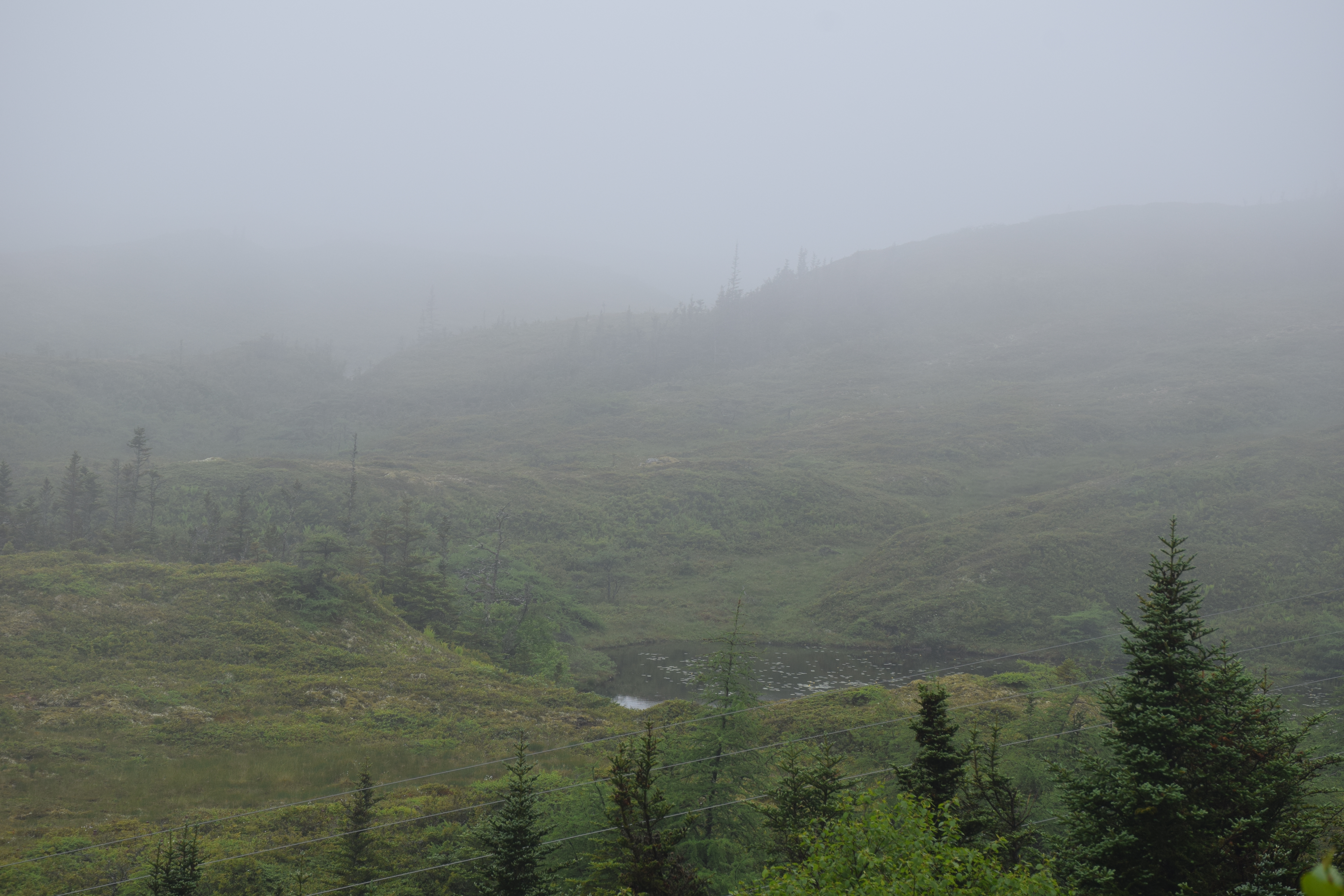
Related Photos:
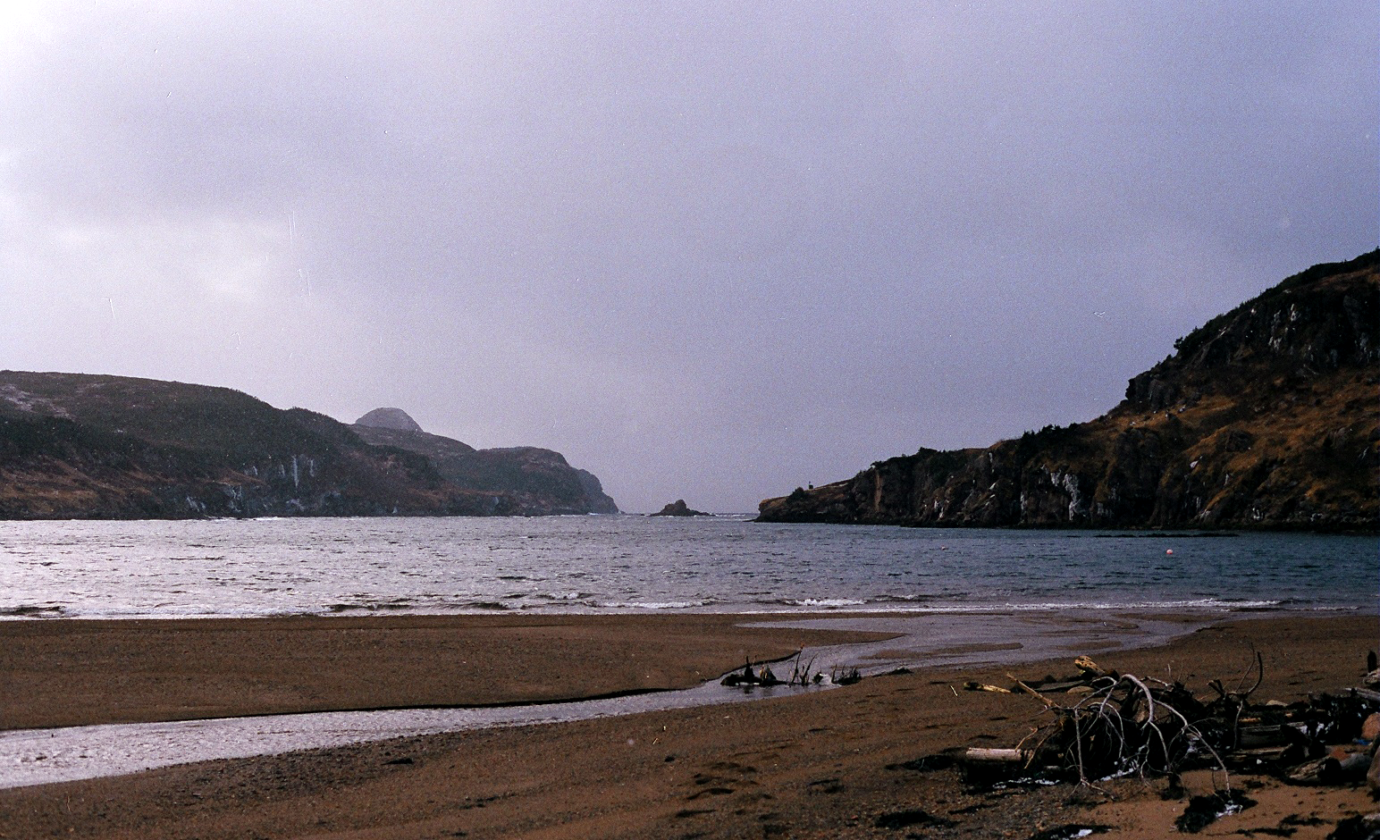
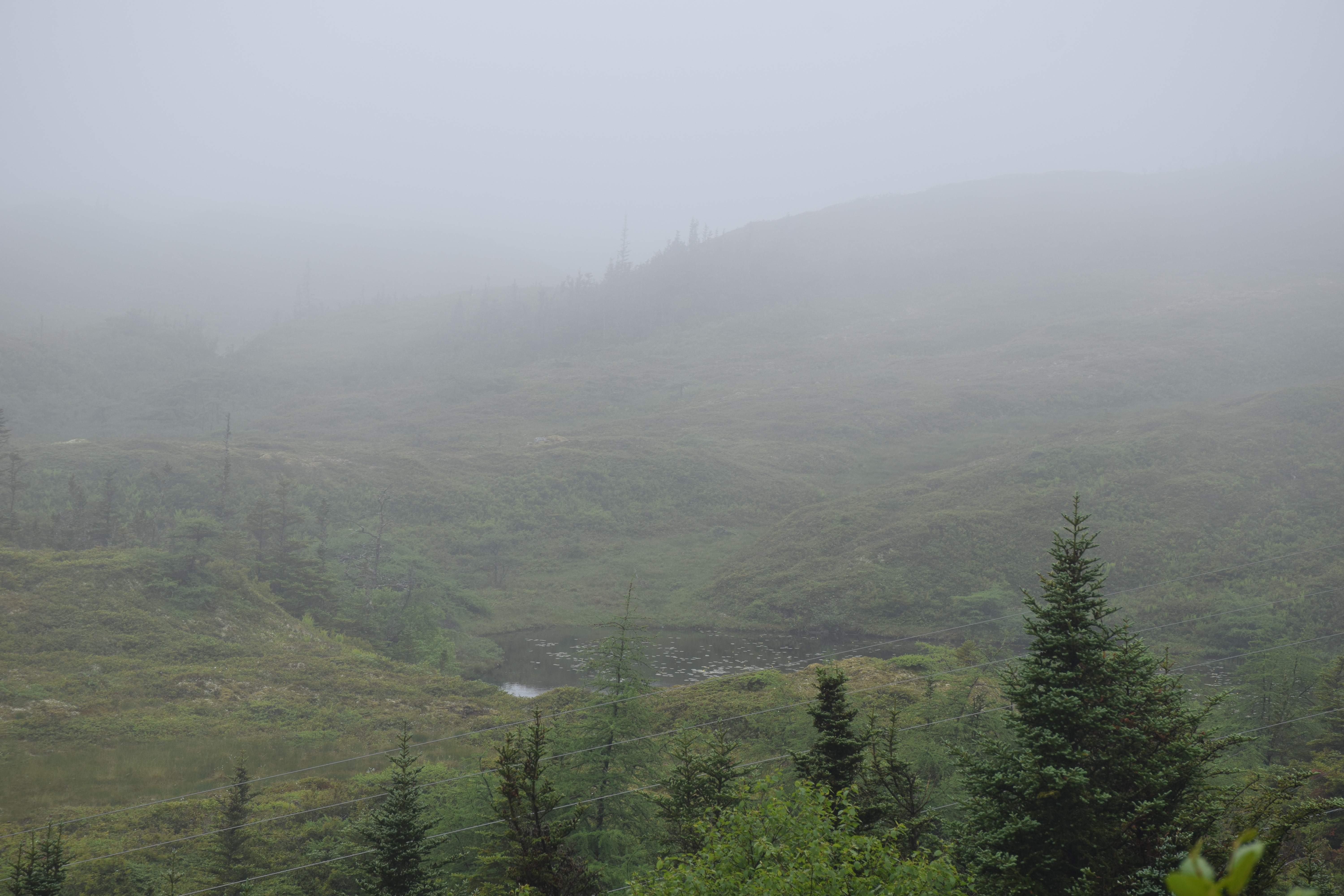
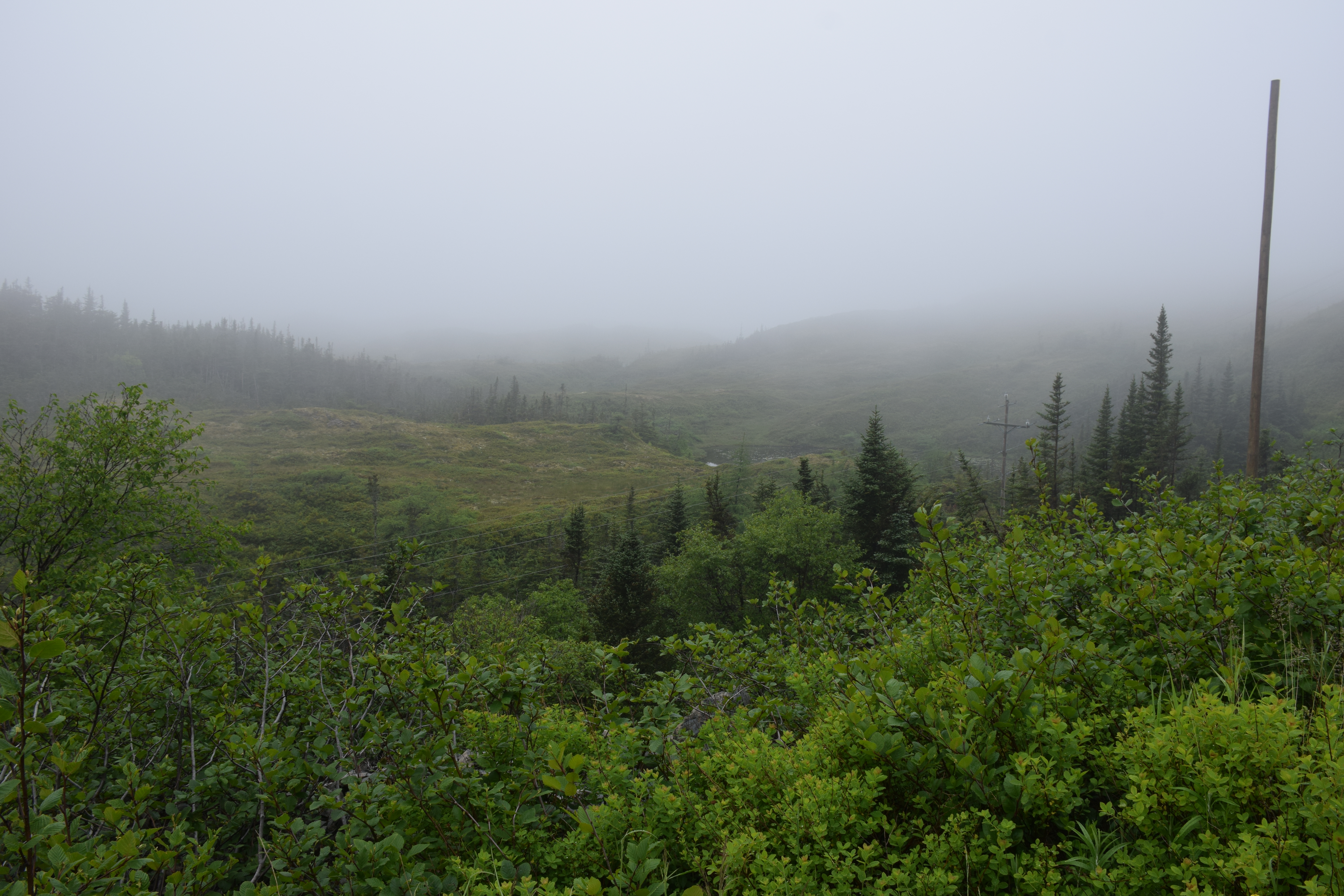
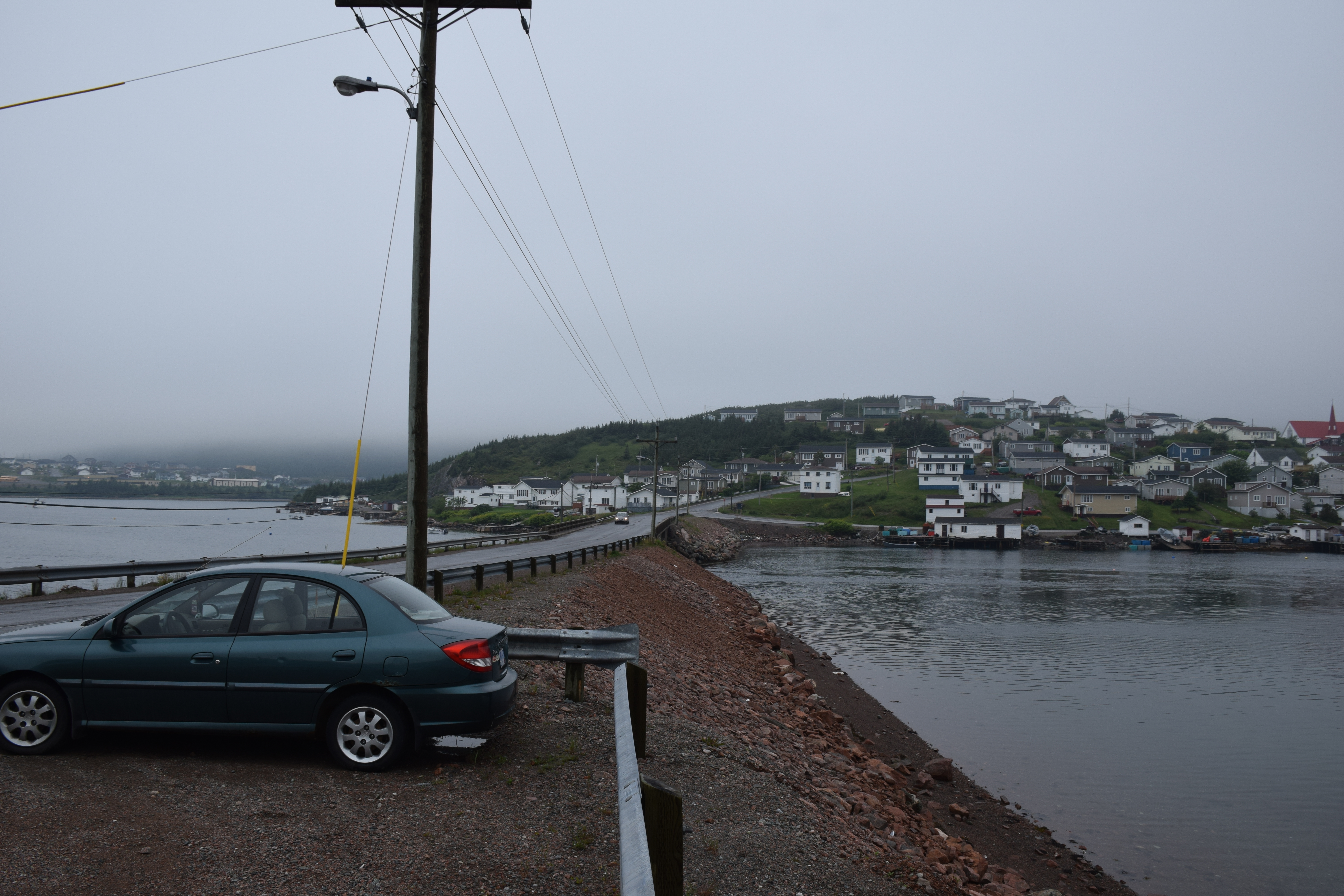
Between the hills, to the sea.
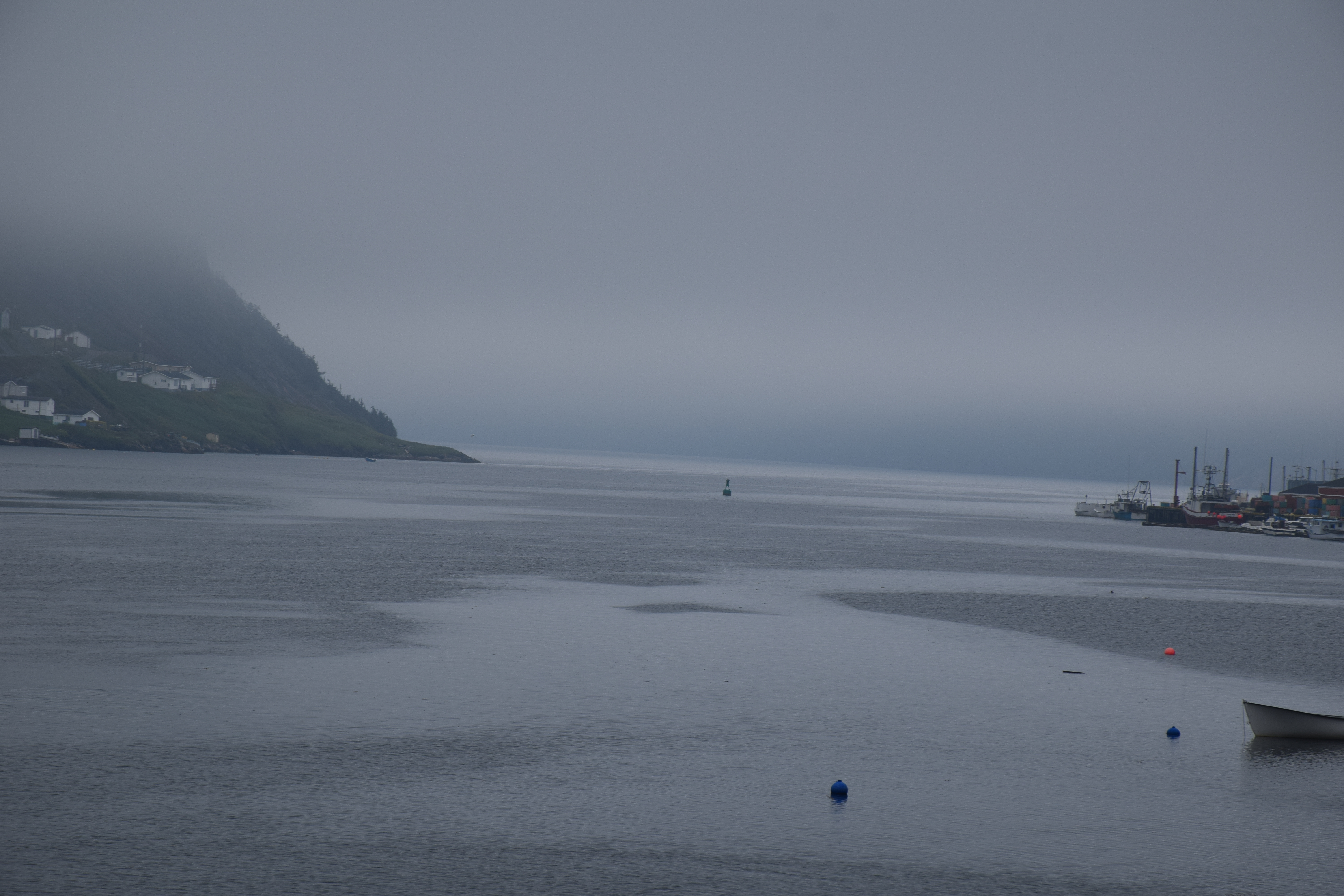
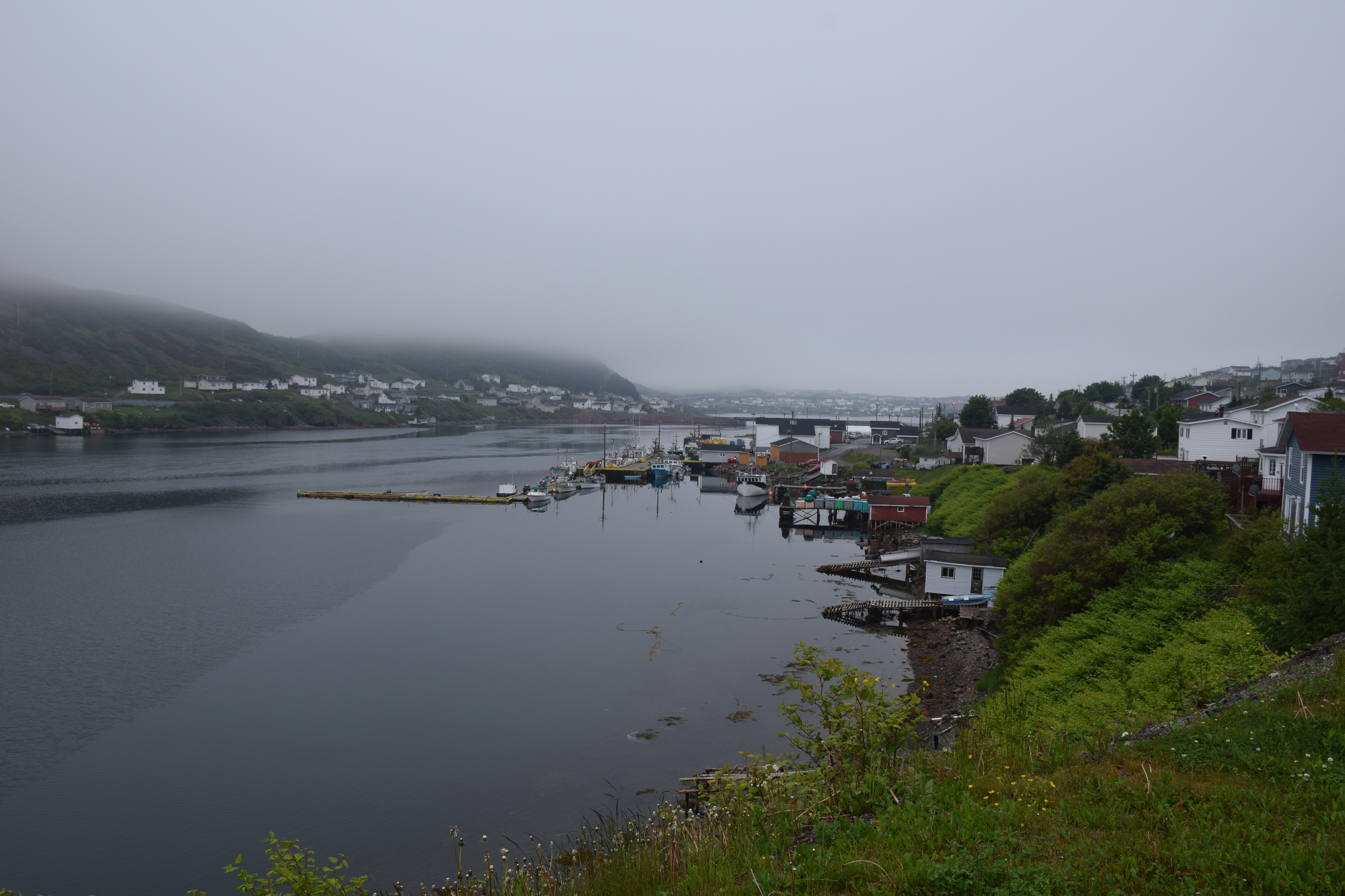
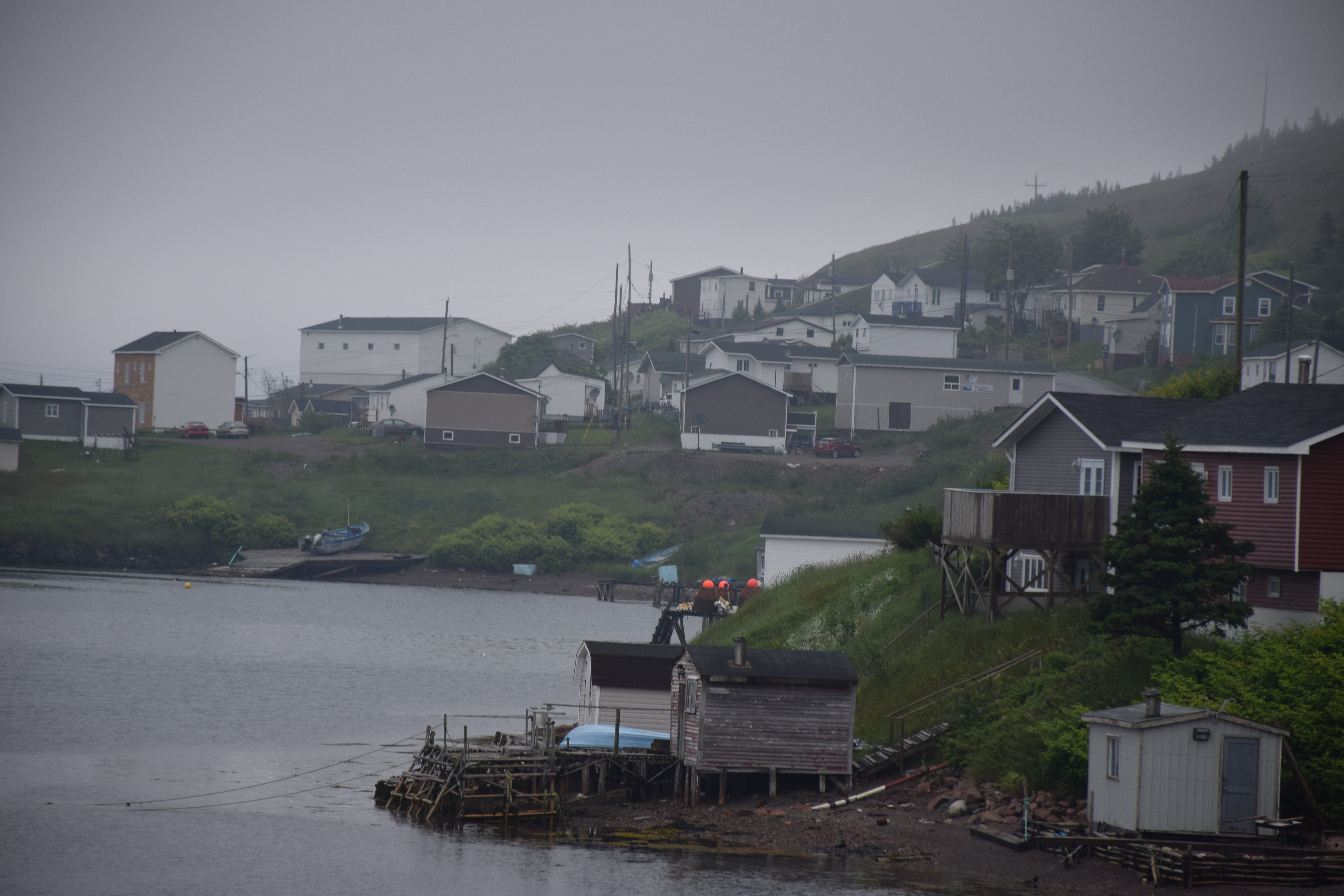
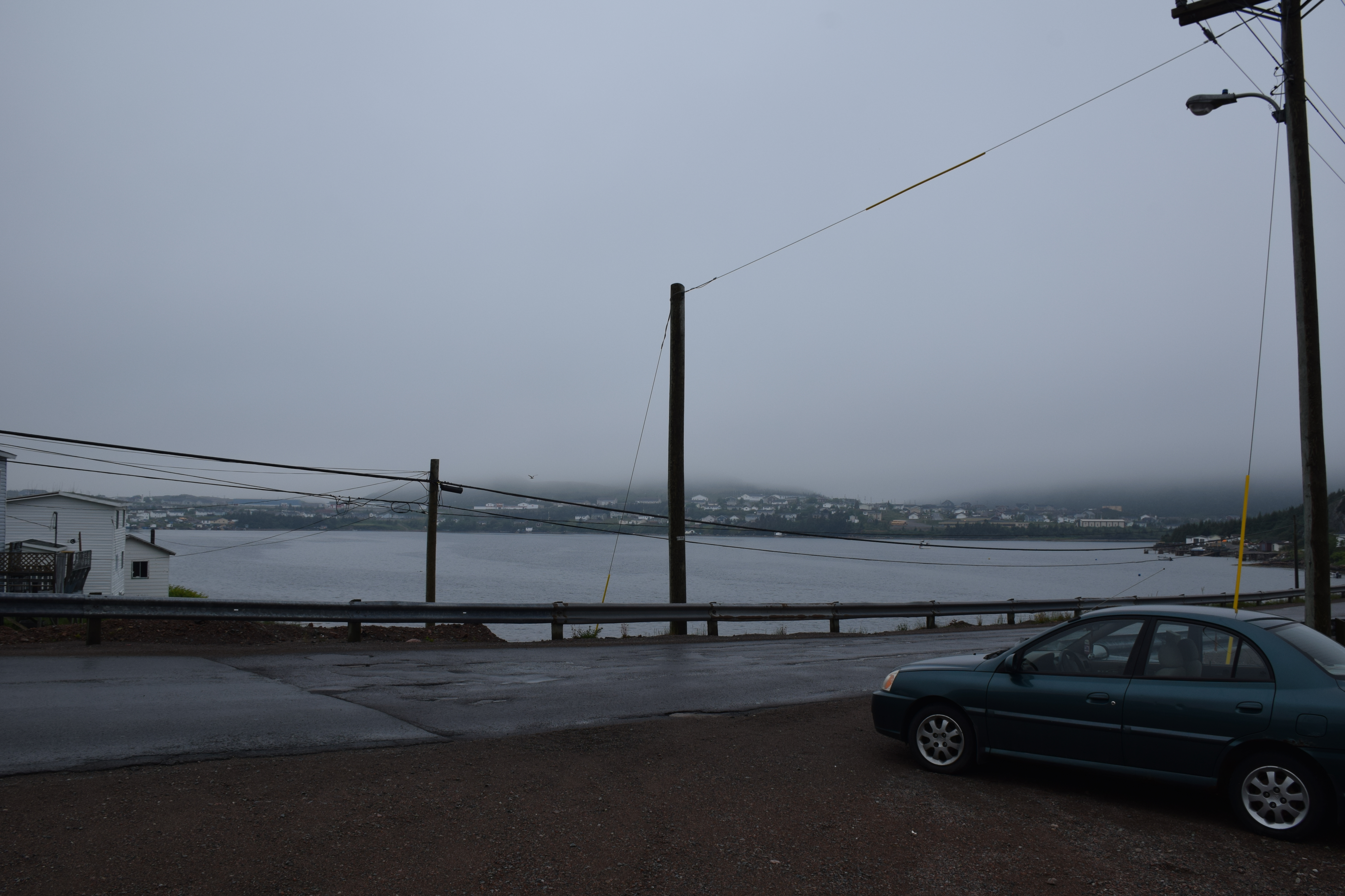
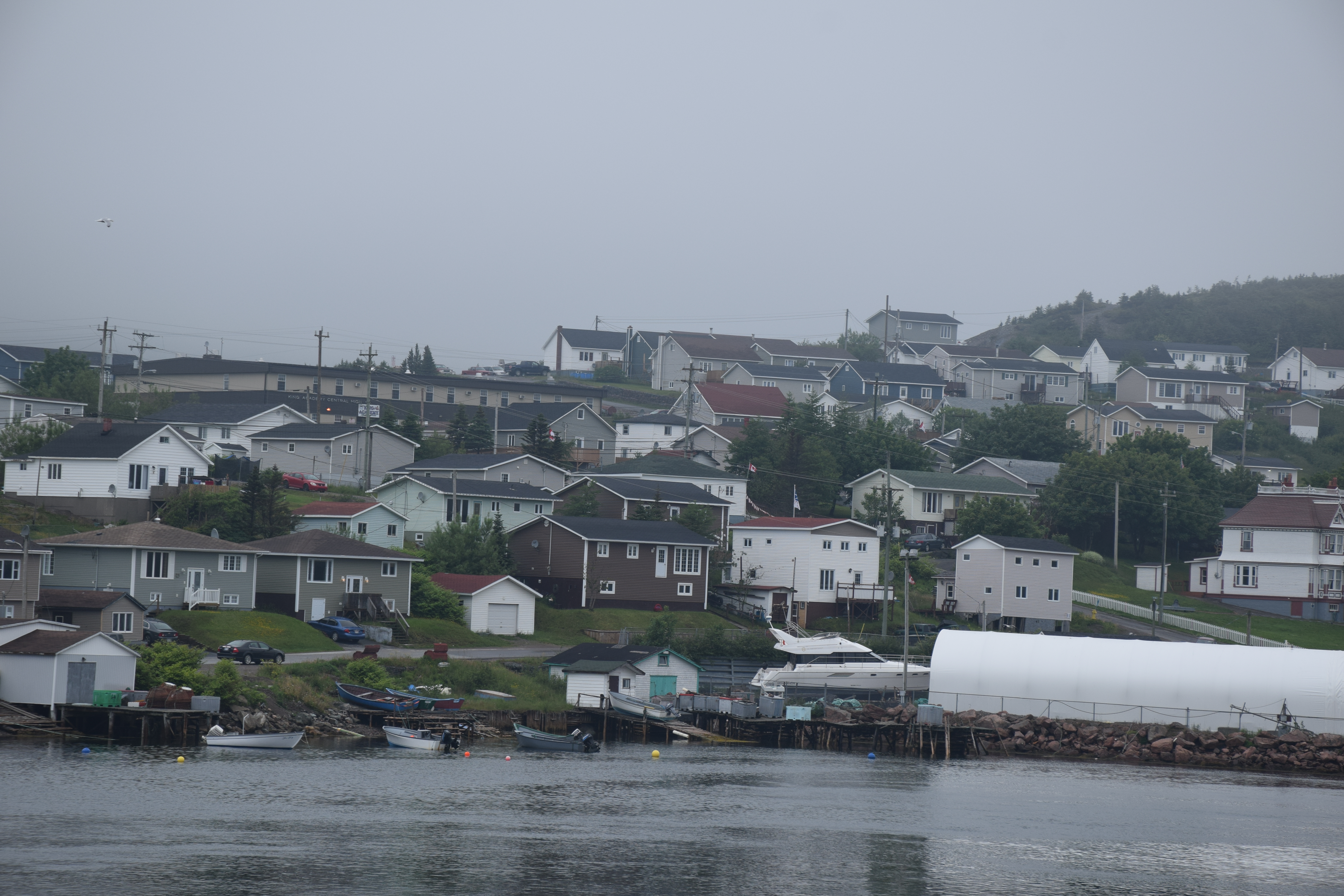
Harbour Breton Newfoundland
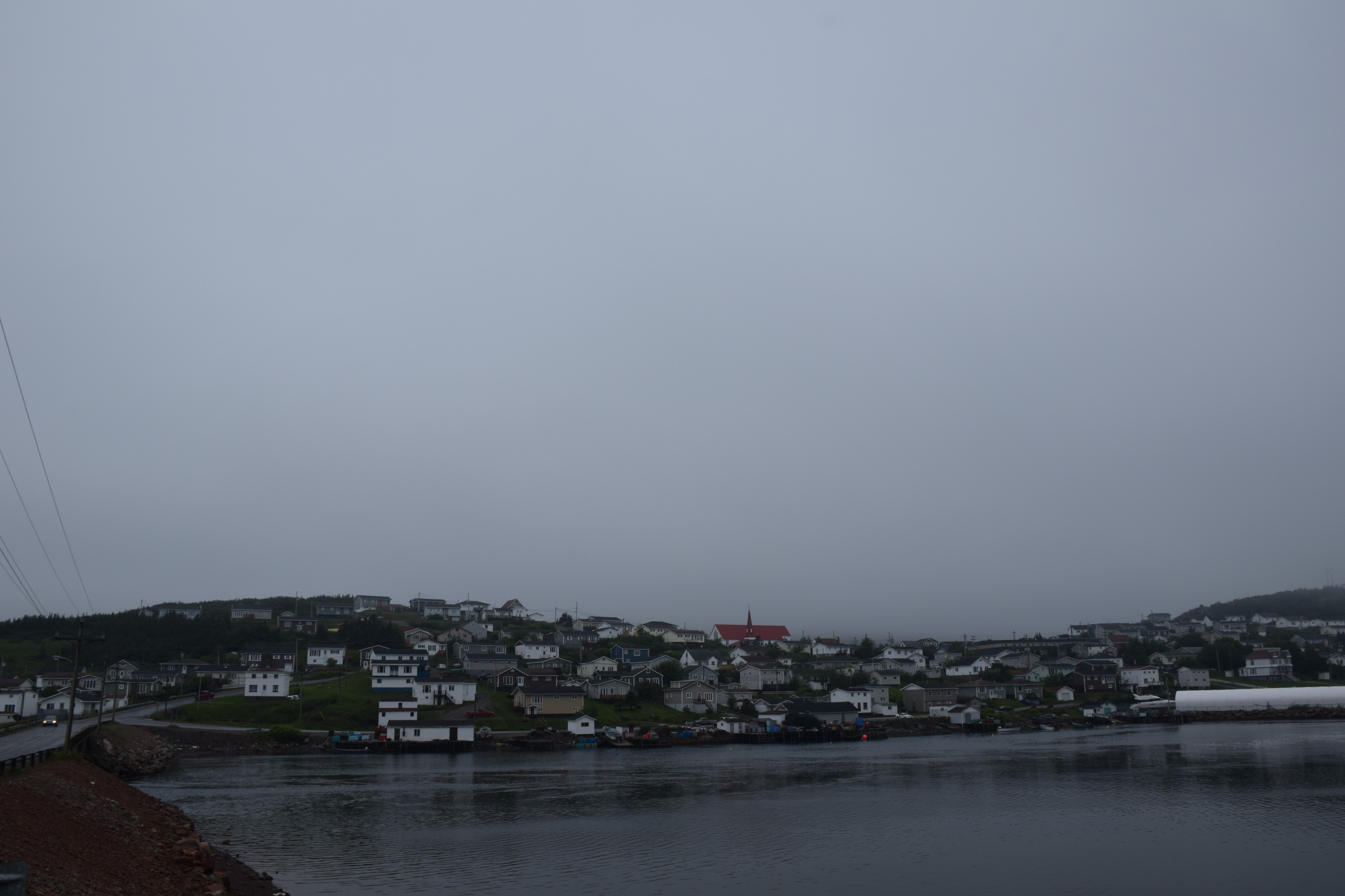
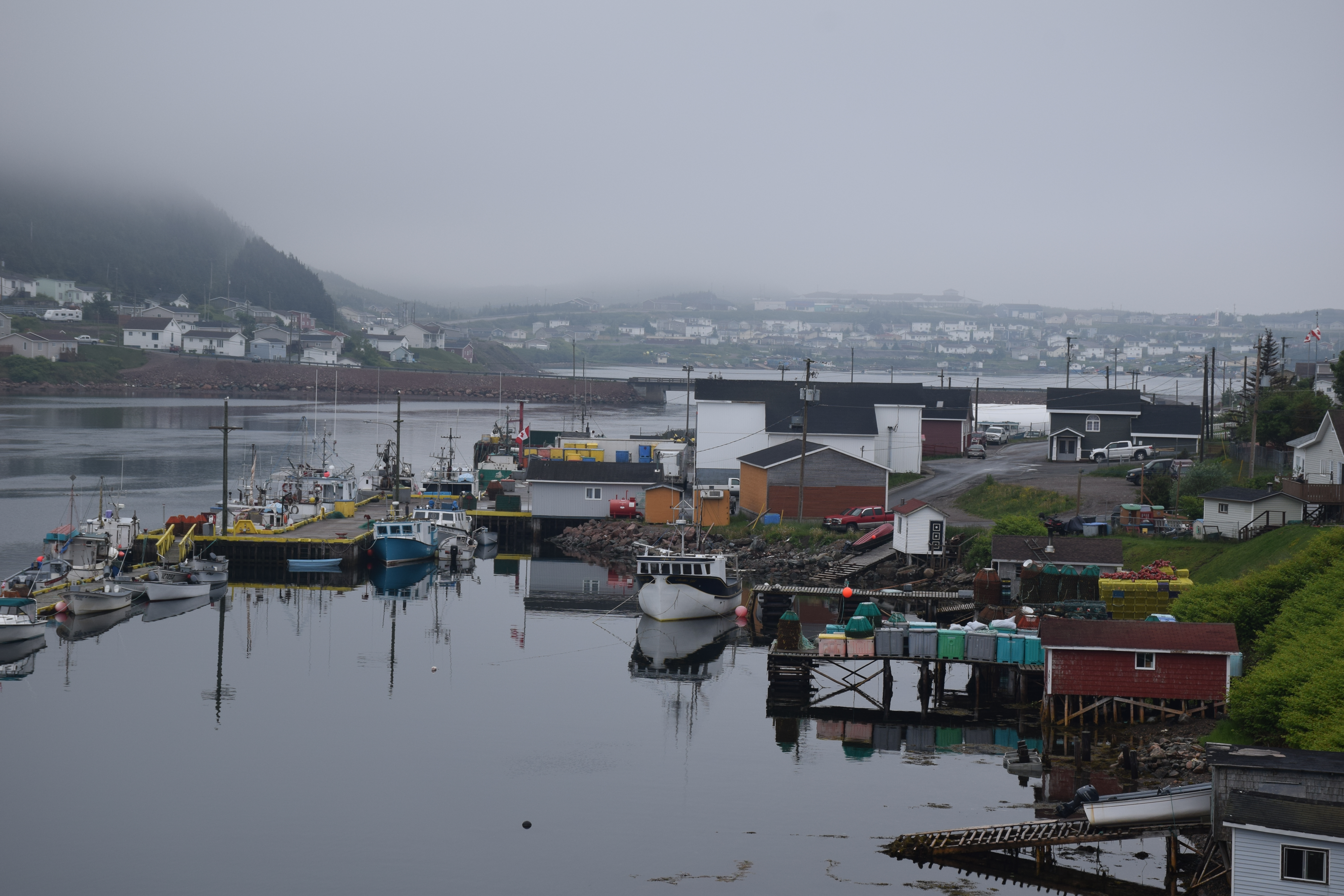
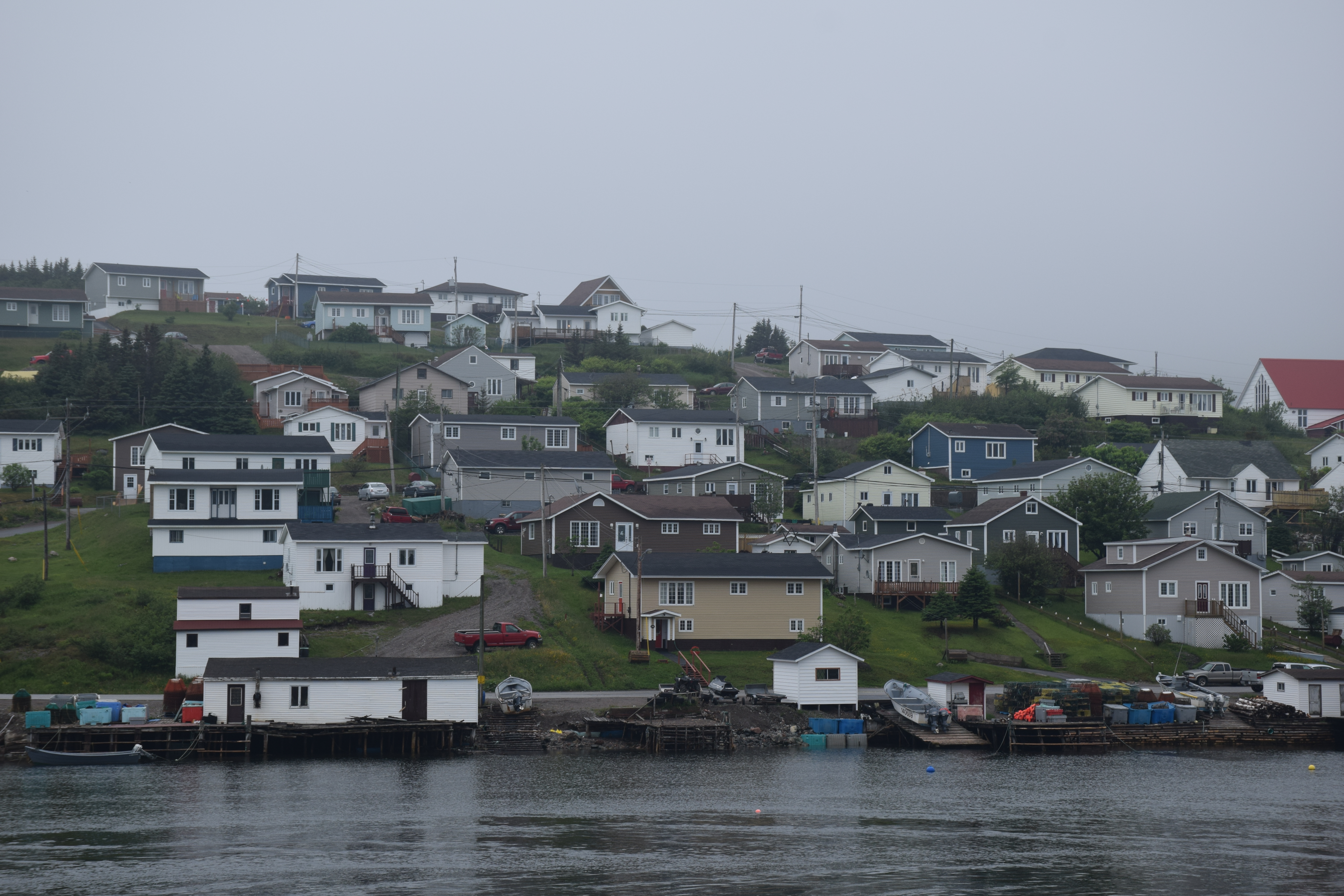
Harbour Breton Newfoundland

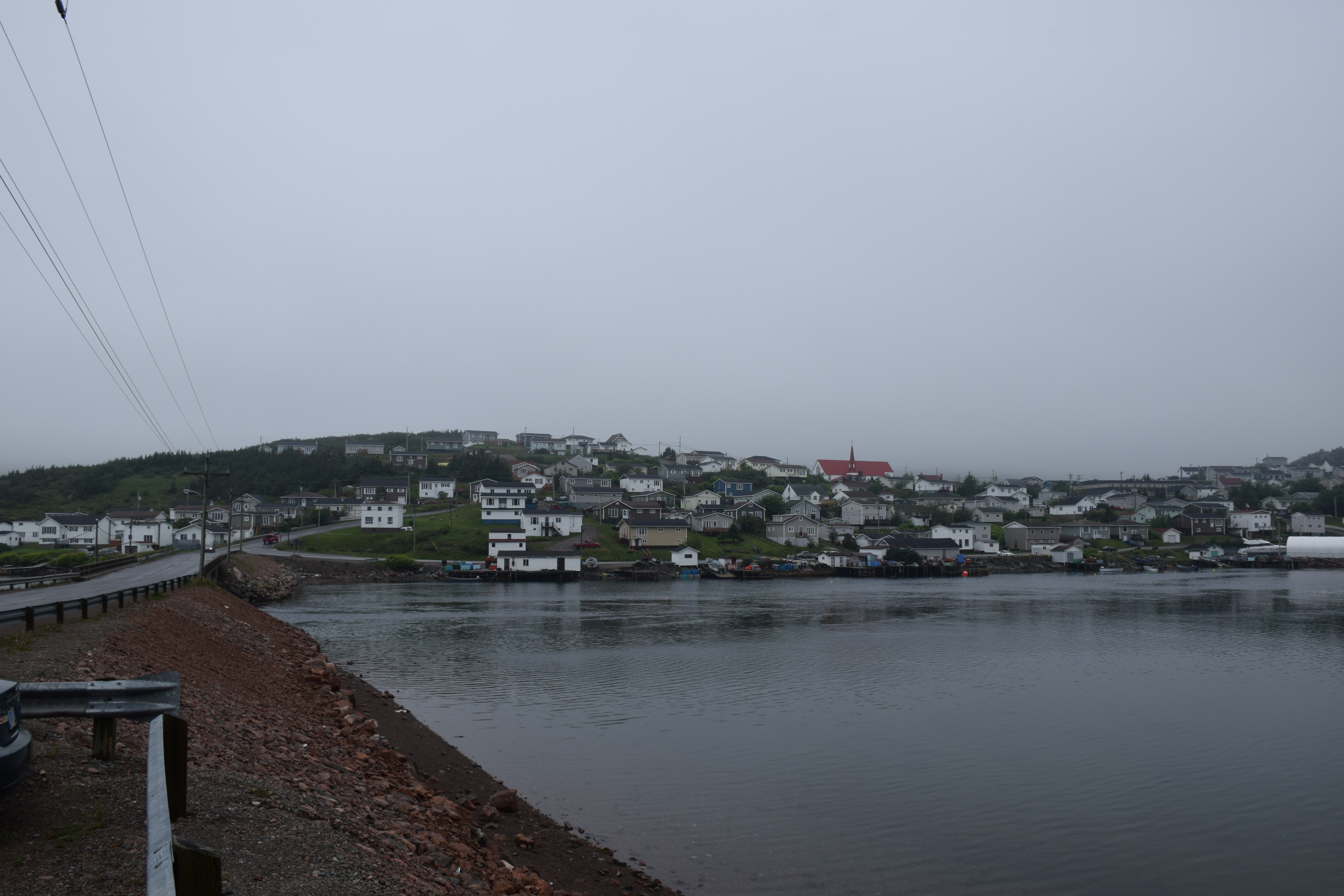
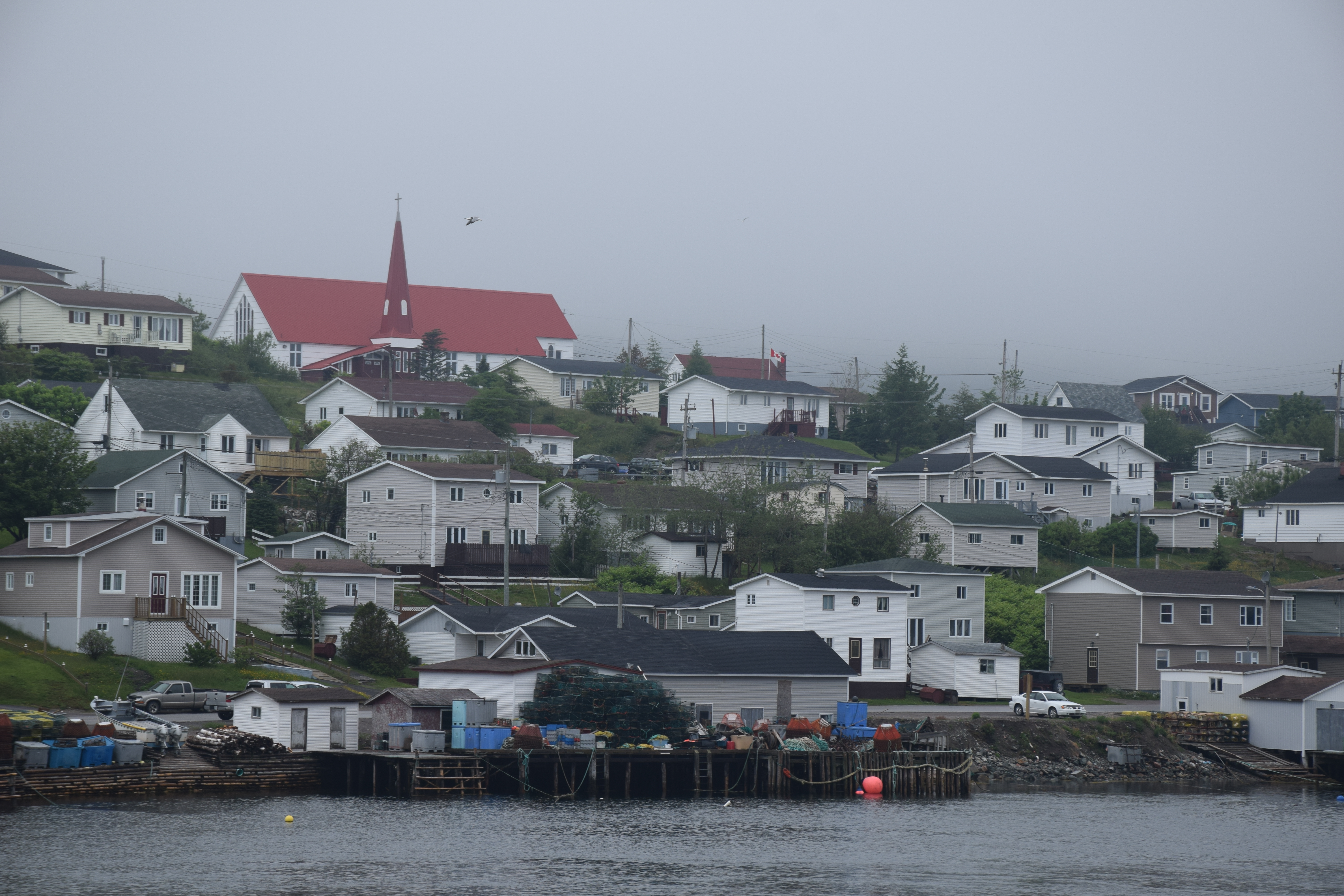
Harbour Breton Newfoundland
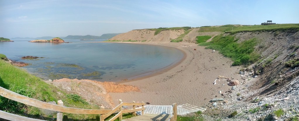
Chappie Cove Photosphere I
Newfoundland Highway 360
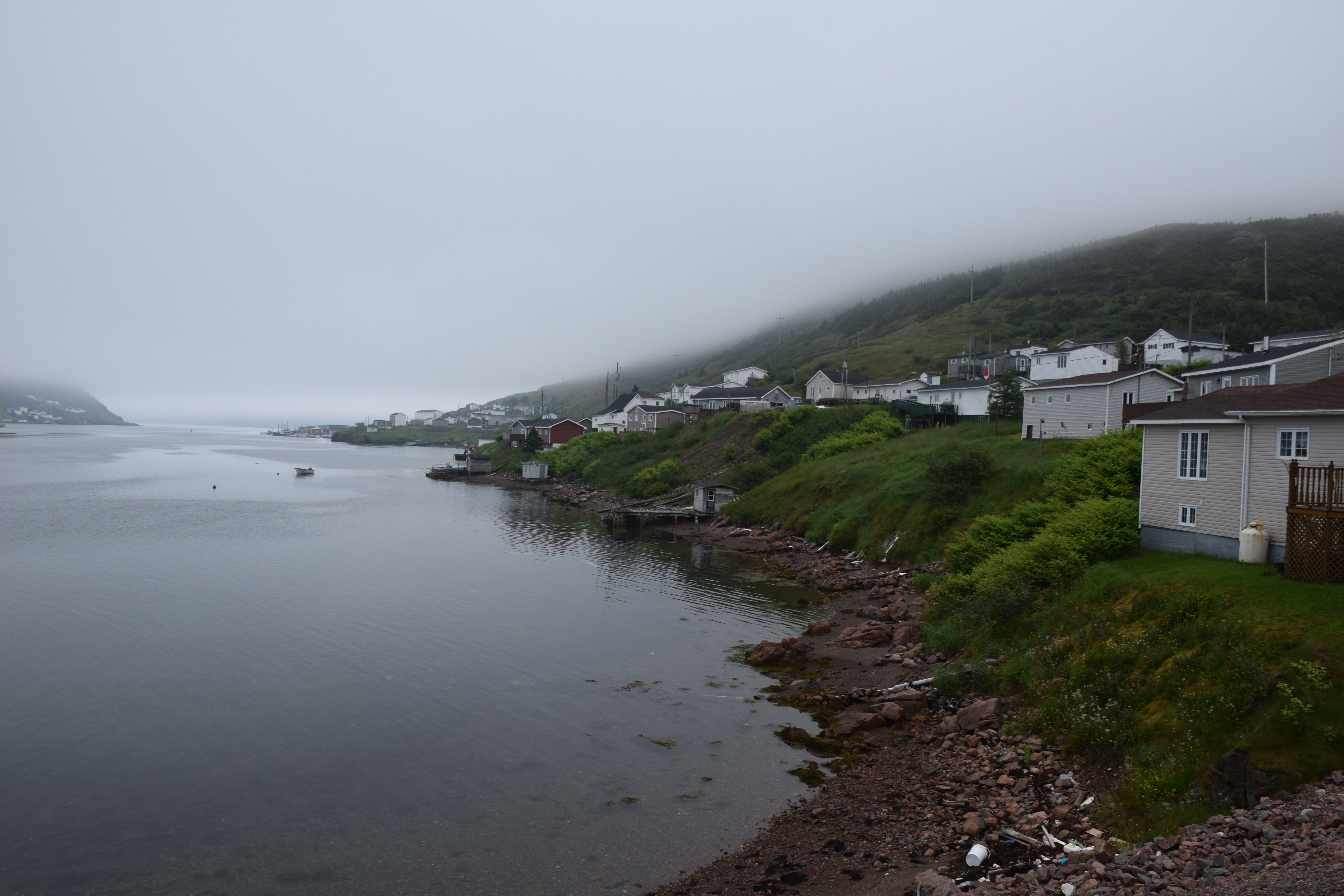
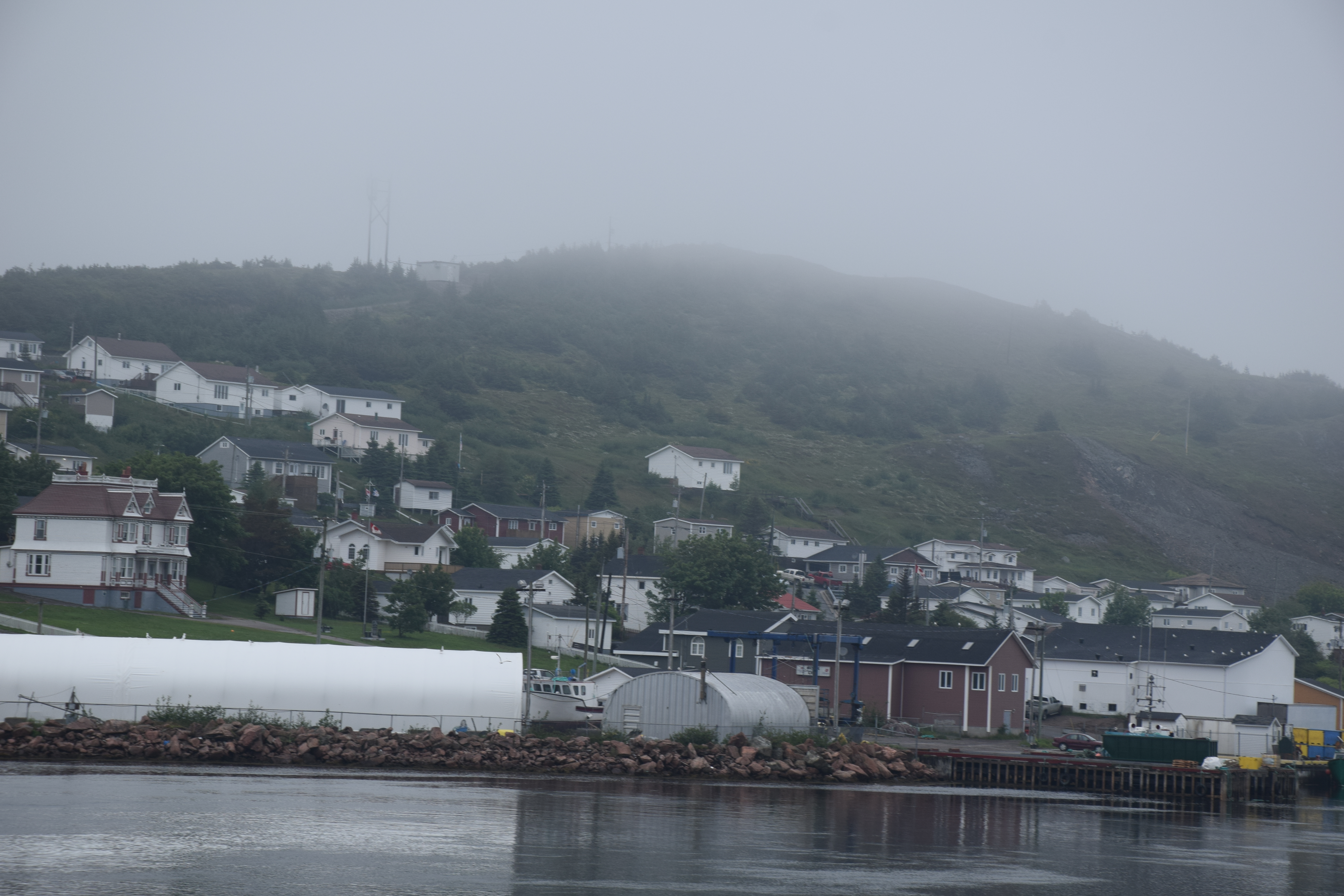
Harbour Breton Newfoundland
Harbour Breton Newfoundland
Harbour Breton Newfoundland
Newfoundland Highway 360
Newfoundland Highway 360

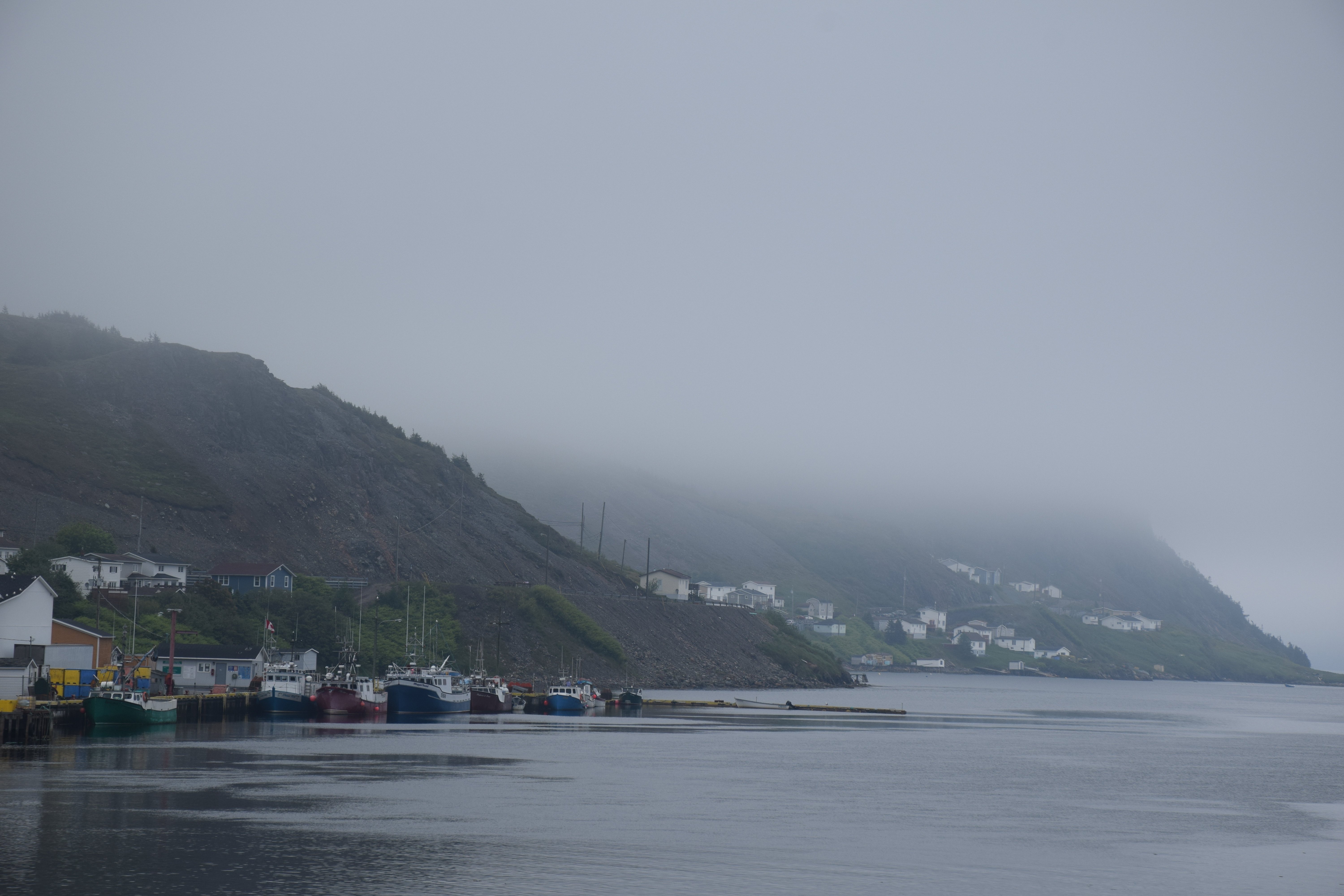
Harbour Breton Newfoundland
Harbour Breton Newfoundland
Harbour Breton Newfoundland

Harbour Breton Newfoundland
Harbour Breton Newfoundland
Harbour Breton Newfoundland
Harbour Breton Newfoundland
Harbour Breton Newfoundland
Harbour Breton Newfoundland
Harbour Breton Newfoundland
Harbour Breton Newfoundland
Topographic Map of 26 NL-, English Harbour West, NL A0H 1M0, Canada
Find elevation by address:

Places near 26 NL-, English Harbour West, NL A0H 1M0, Canada:
Saint Jacques-coomb's Cove
20 Southside Dr, Harbour Breton, NL A0H 1P0, Canada
N Side Extension, English Harbour West, NL A0H 1M0, Canada
Harbour Breton
15 NL-, Belleoram, NL A0H 1B0, Canada
Harbour Dr, Belleoram, NL A0H 1B0, Canada
Pool's Cove
Frenchman's Cove
68 Hwy, Frenchman's Cove, NL A0E 1R0, Canada
Golf Course Road
Hwy, Garnish, NL A0E 1T0, Canada
Sunset Drive
Division No. 2, Subd. H
Sharon's Nook
Grand Bank
Beach Avenue
5 Main St
10 Christians Rd
5 Christians Rd
West Street Extension
Recent Searches:
- Elevation of 24, Auburn Bay Crescent SE, Auburn Bay, Calgary, Alberta, T3M 0A6, Canada
- Elevation of Denver, 2314, Arapahoe Street, Five Points, Denver, Colorado, 80205, USA
- Elevation of Community of the Beatitudes, 2924, West 43rd Avenue, Sunnyside, Denver, Colorado, 80211, USA
- Elevation map of Litang County, Sichuan, China
- Elevation map of Madoi County, Qinghai, China
- Elevation of 3314, Ohio State Route 114, Payne, Paulding County, Ohio, 45880, USA
- Elevation of Sarahills Drive, Saratoga, Santa Clara County, California, 95070, USA
- Elevation of Town of Bombay, Franklin County, New York, USA
- Elevation of 9, Convent Lane, Center Moriches, Suffolk County, New York, 11934, USA
- Elevation of Saint Angelas Convent, 9, Convent Lane, Center Moriches, Suffolk County, New York, 11934, USA
- Elevation of 131st Street Southwest, Mukilteo, Snohomish County, Washington, 98275, USA
- Elevation of 304, Harrison Road, Naples, Cumberland County, Maine, 04055, USA
- Elevation of 2362, Timber Ridge Road, Harrisburg, Cabarrus County, North Carolina, 28075, USA
- Elevation of Ridge Road, Marshalltown, Marshall County, Iowa, 50158, USA
- Elevation of 2459, Misty Shadows Drive, Pigeon Forge, Sevier County, Tennessee, 37862, USA
- Elevation of 8043, Brightwater Way, Spring Hill, Williamson County, Tennessee, 37179, USA
- Elevation of Starkweather Road, San Luis, Costilla County, Colorado, 81152, USA
- Elevation of 5277, Woodside Drive, Baton Rouge, East Baton Rouge Parish, Louisiana, 70808, USA
- Elevation of 1139, Curtin Street, Shepherd Park Plaza, Houston, Harris County, Texas, 77018, USA
- Elevation of 136, Sellers Lane, Repton, Monroe County, Alabama, 36475, USA