Elevation of Golf Course Road, Frenchman's Cove, NL A0E, Canada
Location: Canada > Newfoundland And Labrador > Division No. 2 > Frenchman's Cove >
Longitude: -55.404825
Latitude: 47.2132406
Elevation: 1m / 3feet
Barometric Pressure: 101KPa
Elevation Map:
Satellite Map:
Related Photos:

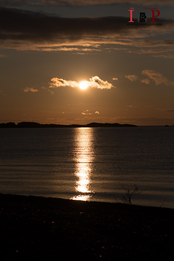
Sunset FC-16-2
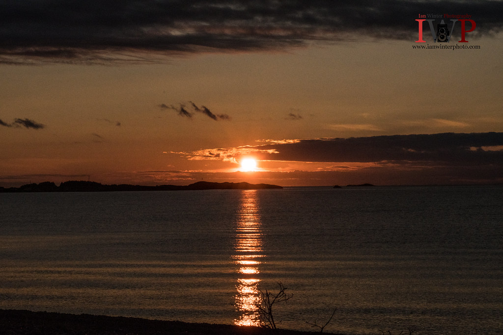
Sunset FC-16-1
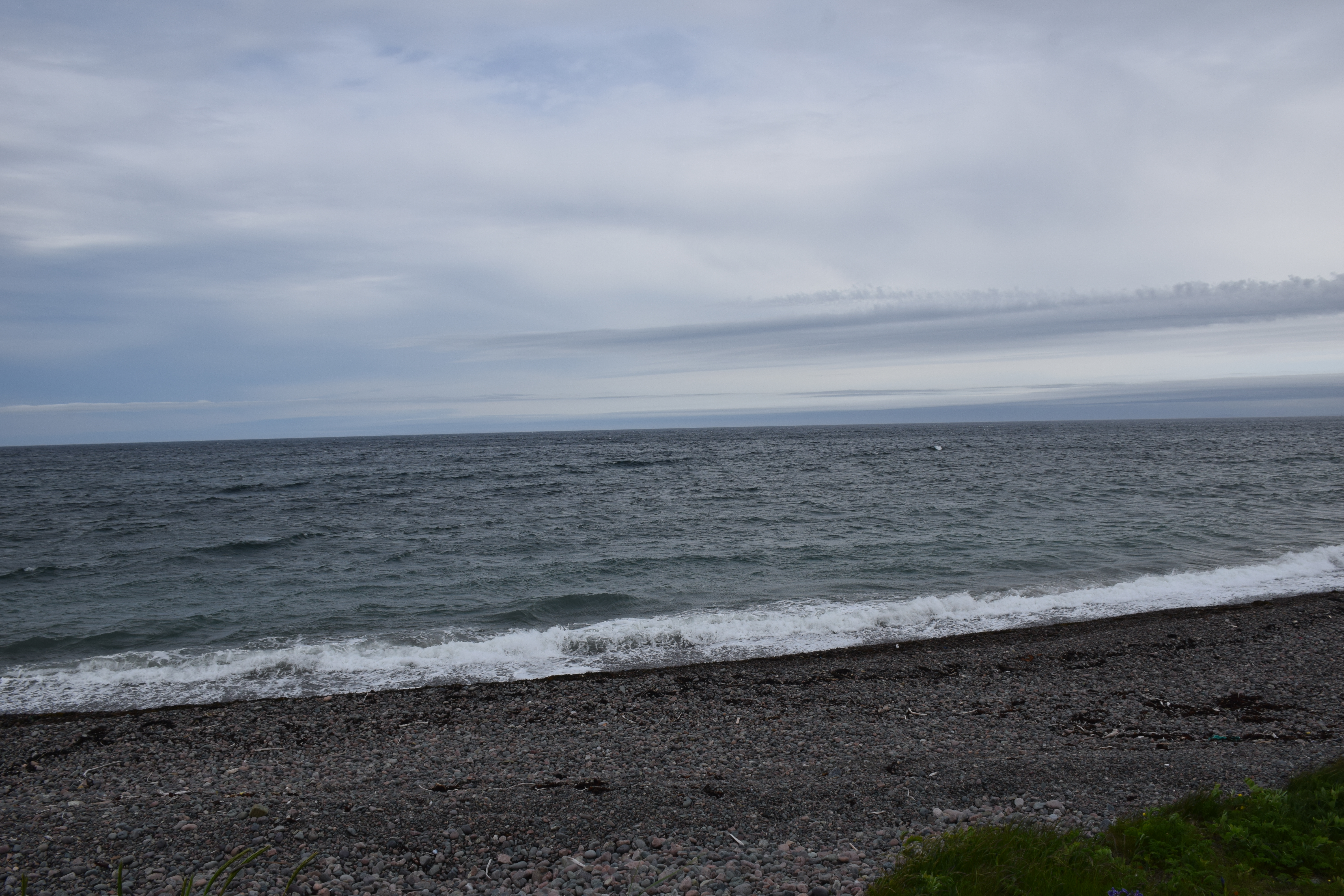
Frenchmans Cove Newfoundland
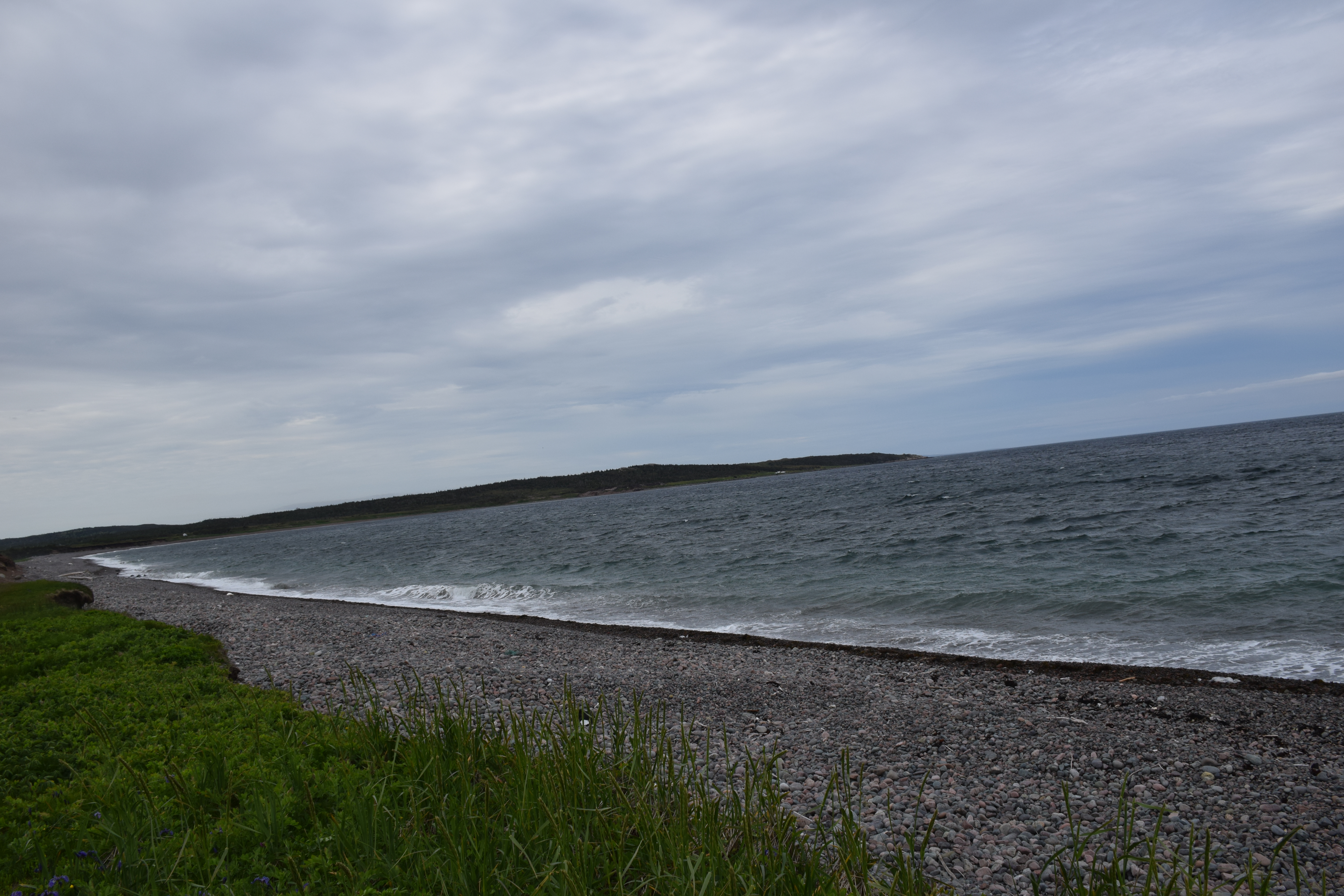
Frenchmans Cove Newfoundland
Sunset FC-16-3
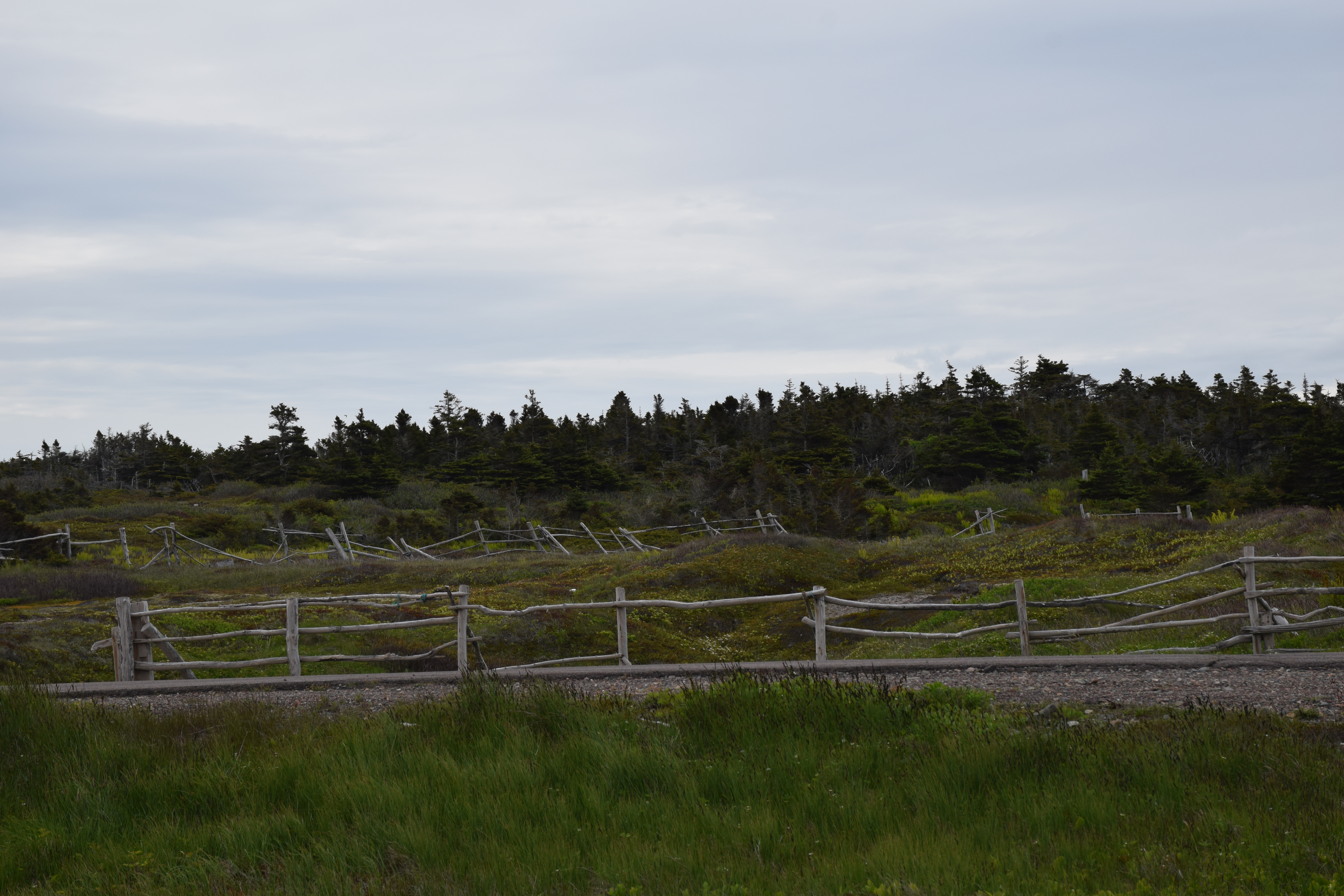
Frenchmans Cove Newfoundland
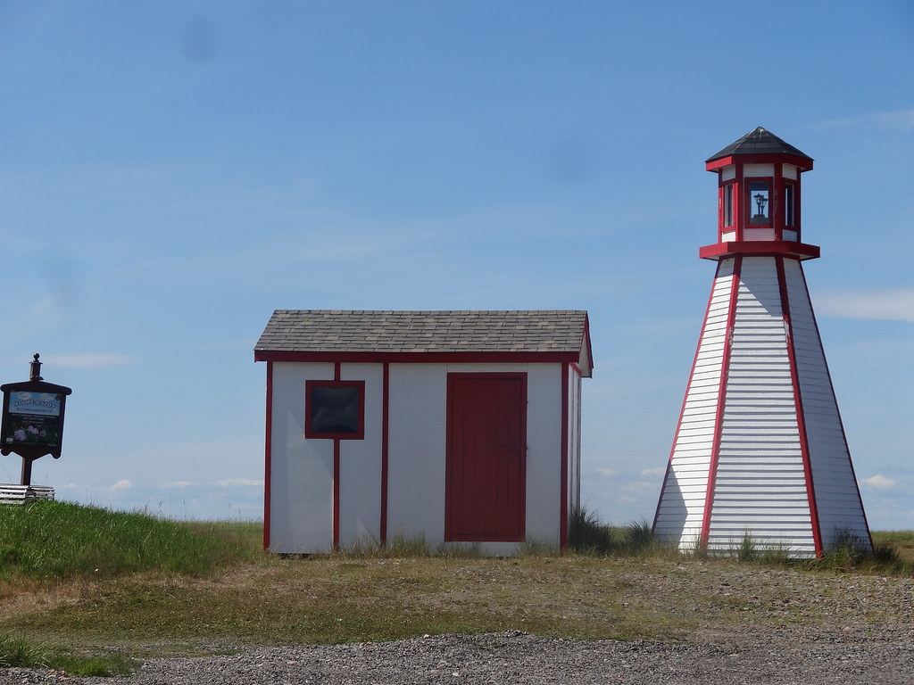
Pénisule de Burin - Frenchman's cove (5)
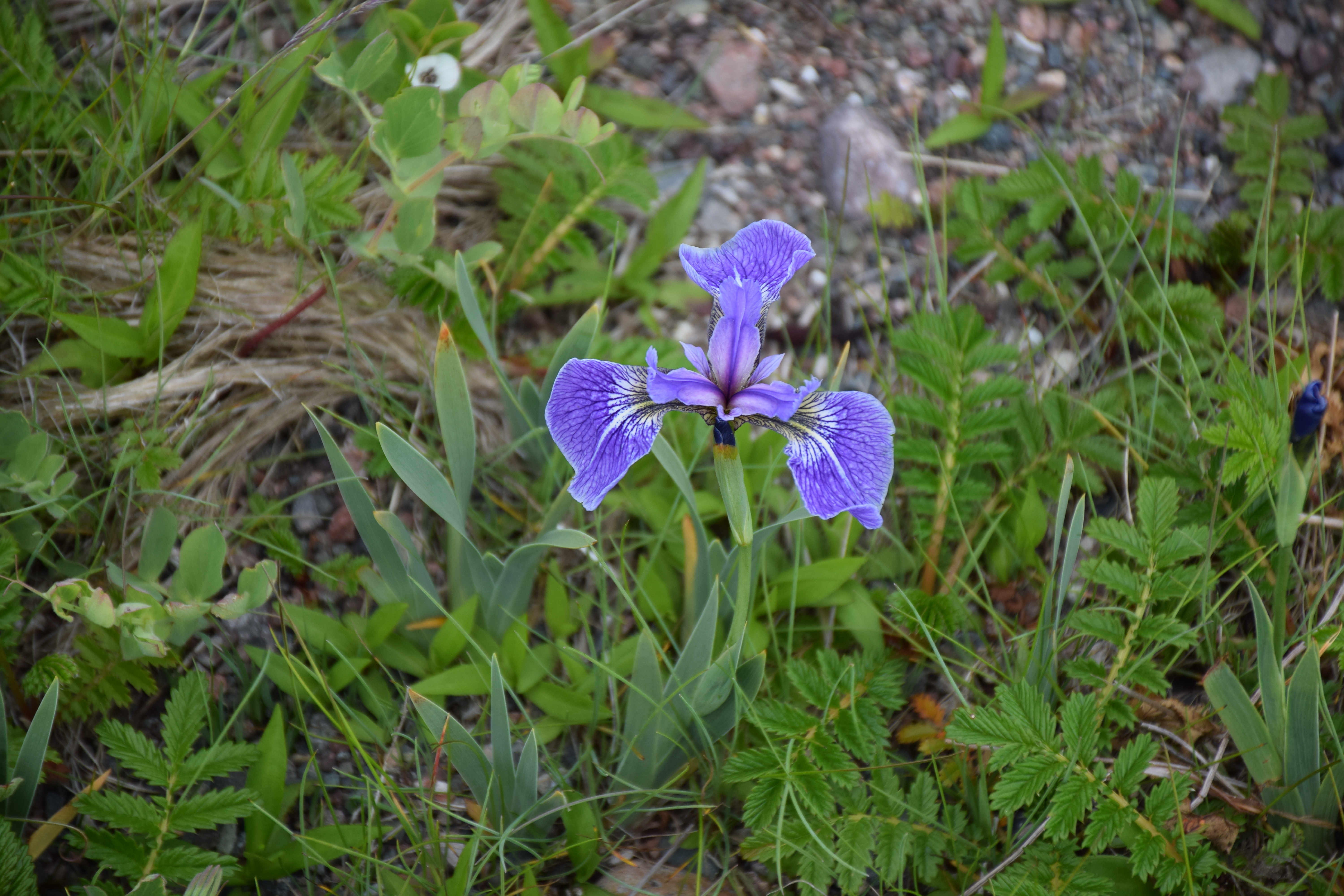
Frenchmans Cove Newfoundland
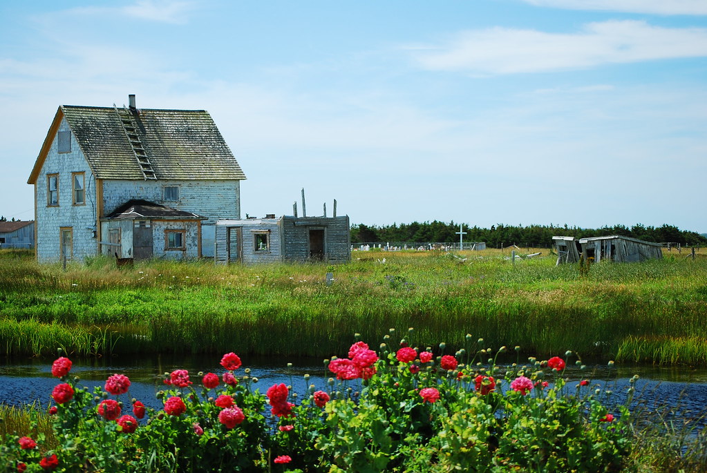
A Garnish Homestead
Topographic Map of Golf Course Road, Frenchman's Cove, NL A0E, Canada
Find elevation by address:

Places near Golf Course Road, Frenchman's Cove, NL A0E, Canada:
Frenchman's Cove
68 Hwy, Frenchman's Cove, NL A0E 1R0, Canada
Hwy, Garnish, NL A0E 1T0, Canada
Sunset Drive
Marystown
Division No. 2, Subd. H
15 NL-, Belleoram, NL A0H 1B0, Canada
Saint Jacques-coomb's Cove
30 Burin Bay Crescent, Epworth, NL A0E 1N0, Canada
30 Collins Ln, Burin, NL A0E 1E0, Canada
Spanish Room
26 NL-, English Harbour West, NL A0H 1M0, Canada
Beach Avenue
Sharon's Nook
Grand Bank
5 Main St
West Street Extension
5 Christians Rd
10 Christians Rd
5 Stone Pl
Recent Searches:
- Elevation of Corso Fratelli Cairoli, 35, Macerata MC, Italy
- Elevation of Tallevast Rd, Sarasota, FL, USA
- Elevation of 4th St E, Sonoma, CA, USA
- Elevation of Black Hollow Rd, Pennsdale, PA, USA
- Elevation of Oakland Ave, Williamsport, PA, USA
- Elevation of Pedrógão Grande, Portugal
- Elevation of Klee Dr, Martinsburg, WV, USA
- Elevation of Via Roma, Pieranica CR, Italy
- Elevation of Tavkvetili Mountain, Georgia
- Elevation of Hartfords Bluff Cir, Mt Pleasant, SC, USA