Elevation of Runlett Peak, Colorado, USA
Location: United States > Colorado > Hinsdale County >
Longitude: -107.47894
Latitude: 37.4738904
Elevation: 3380m / 11089feet
Barometric Pressure: 67KPa
Elevation Map:
Satellite Map:
Related Photos:
4966 View from the pass above Rock Lake on the old Half Moon Trail to Moon Lakes, elevation 12,500 feet

4964 View south over the pass above Rock Lake on the old Half Moon Trail to Moon Lakes
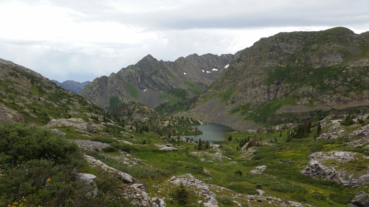
5070 We get our first view of Moon Lake as we descend on the Half Moon Trail
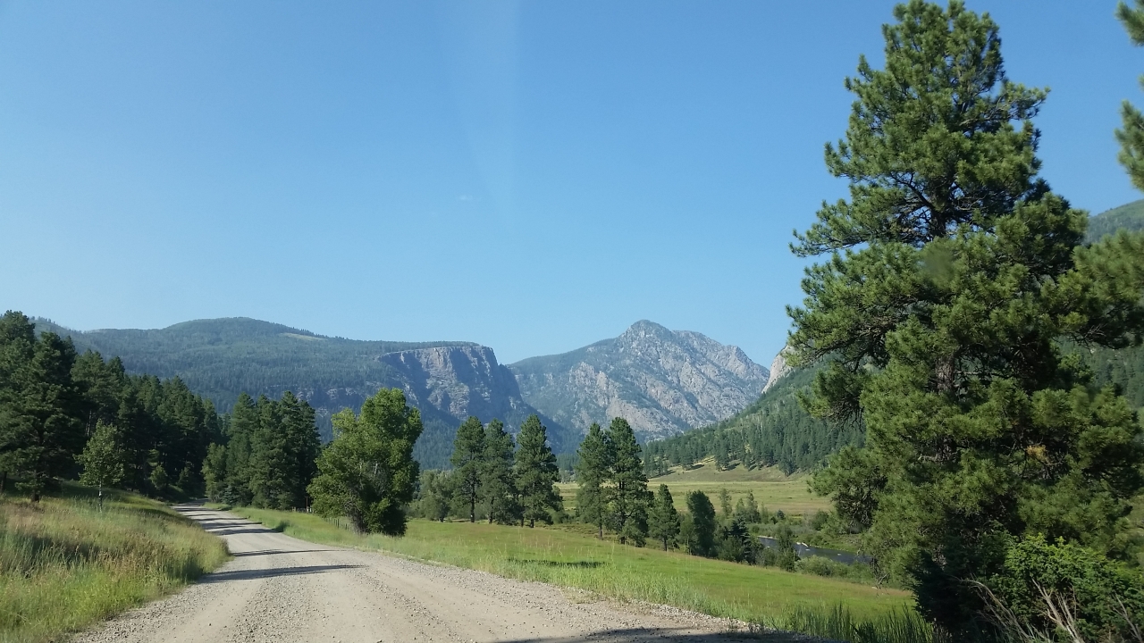
5844 View from Route 501 of the Pine River Valley as I drive the car back to the Pine River Campground

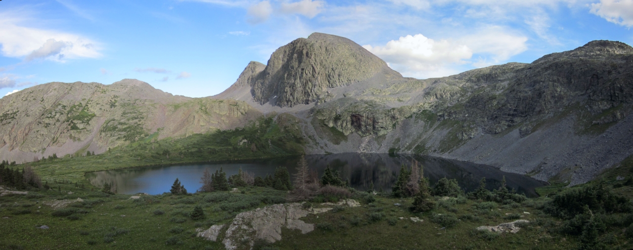
5389 Our first view of Emerald Lake from the Emerald Lake Trail at the border of the 'No Camping' zone
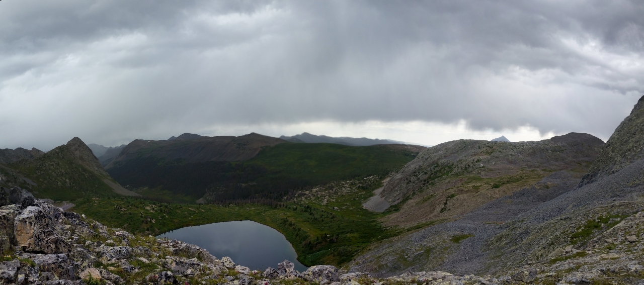
4819 Panorama view of Rock Lake from the ridge above it to the west
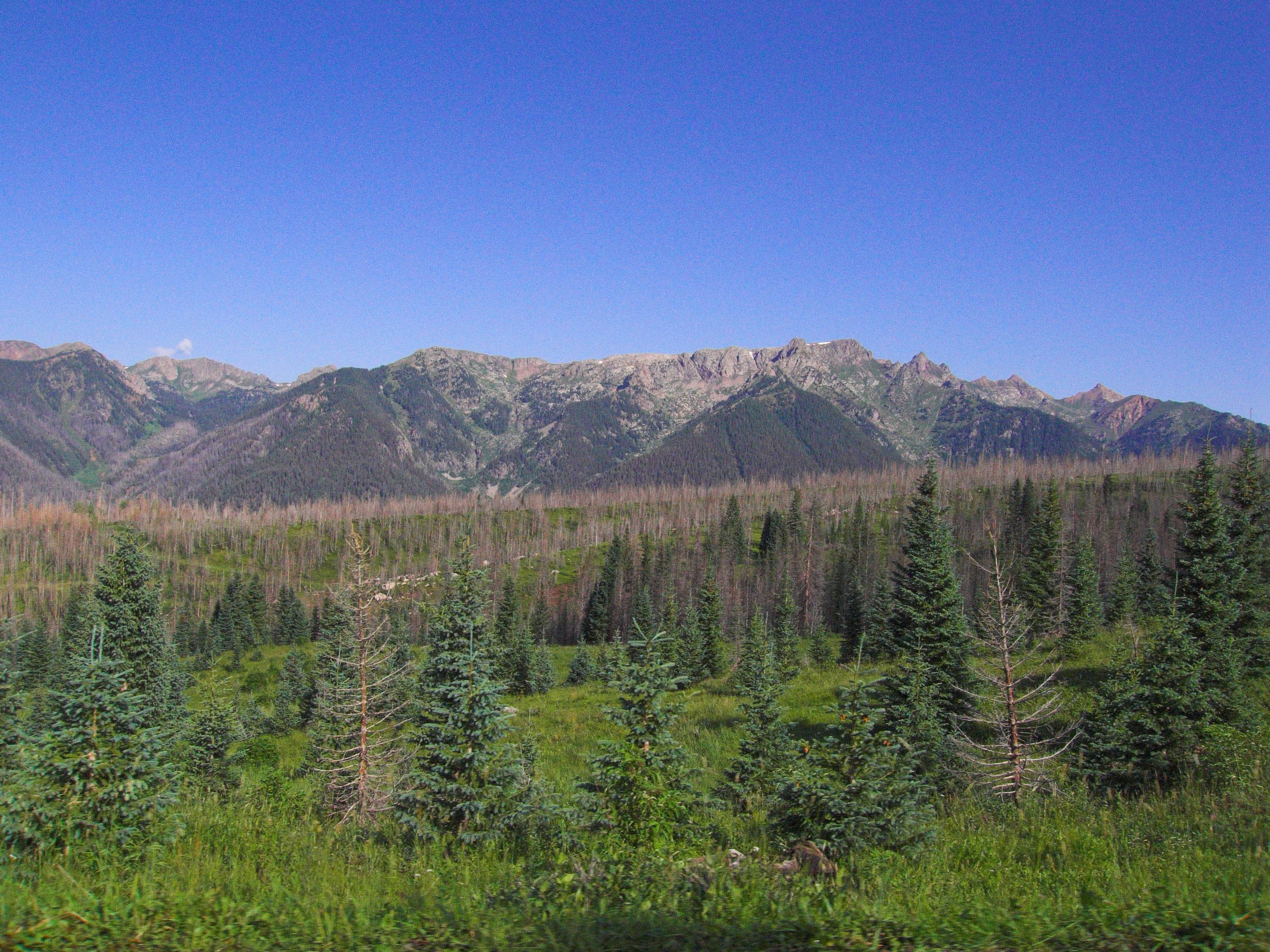
Middle Mountain Road
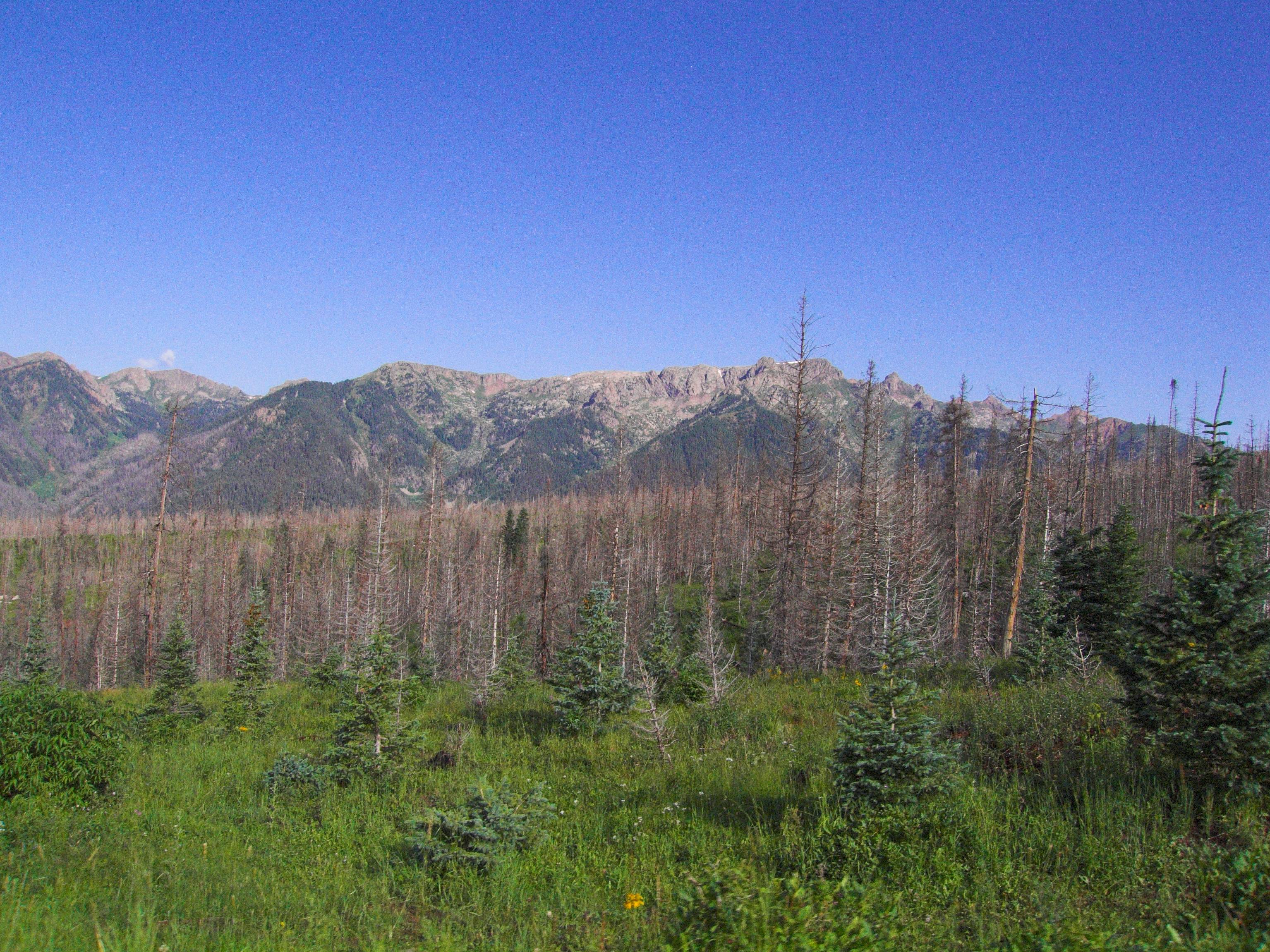
Middle Mountain Road
Topographic Map of Runlett Peak, Colorado, USA
Find elevation by address:

Places near Runlett Peak, Colorado, USA:
Granite Peak
90 Tucker Dr
821 Mushroom Ln
395 Decker Dr
230 Boletus Creek Dr
Three Sisters Peaks
254 Co Rd 500
371 Co Rd 500
Vallecito Lake Chamber Of Commerce
Graham Creek Campground
Pura Vida Cafe
1088 Lake View Dr
Amherst Mountain
Sheridan Mountain
West Mountain
Endlich Mesa
Flag Mountain
Co Rd, Bayfield, CO, USA
Peters Peak
Vallecito
Recent Searches:
- Elevation of Corso Fratelli Cairoli, 35, Macerata MC, Italy
- Elevation of Tallevast Rd, Sarasota, FL, USA
- Elevation of 4th St E, Sonoma, CA, USA
- Elevation of Black Hollow Rd, Pennsdale, PA, USA
- Elevation of Oakland Ave, Williamsport, PA, USA
- Elevation of Pedrógão Grande, Portugal
- Elevation of Klee Dr, Martinsburg, WV, USA
- Elevation of Via Roma, Pieranica CR, Italy
- Elevation of Tavkvetili Mountain, Georgia
- Elevation of Hartfords Bluff Cir, Mt Pleasant, SC, USA