Elevation of Lake View Dr, Bayfield, CO, USA

Location: United States > Colorado > Bayfield >

Longitude: -107.56710

Latitude: 37.4012636

Elevation: 2521m / 8271feet

Barometric Pressure: 74KPa

Elevation Map:

elevation map of Lake View Dr, Bayfield, CO, USA

Satellite Map:

Satellite map of Lake View Dr, Bayfield, CO, USA

Related Photos:

colorado america usa unitedstates americanwest sanjuan mountains peaks mountain range sunlight trees foliage sky puffy clouds ridge vista view forest valley nature elitegalleryaoi bestcapturesaoi aoi northamerica cloud natural tree leaves branches shadow landscape paysage paisaje paesaggio landschaft nikon d7200 nikkor gsb
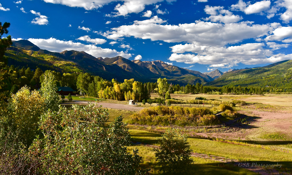
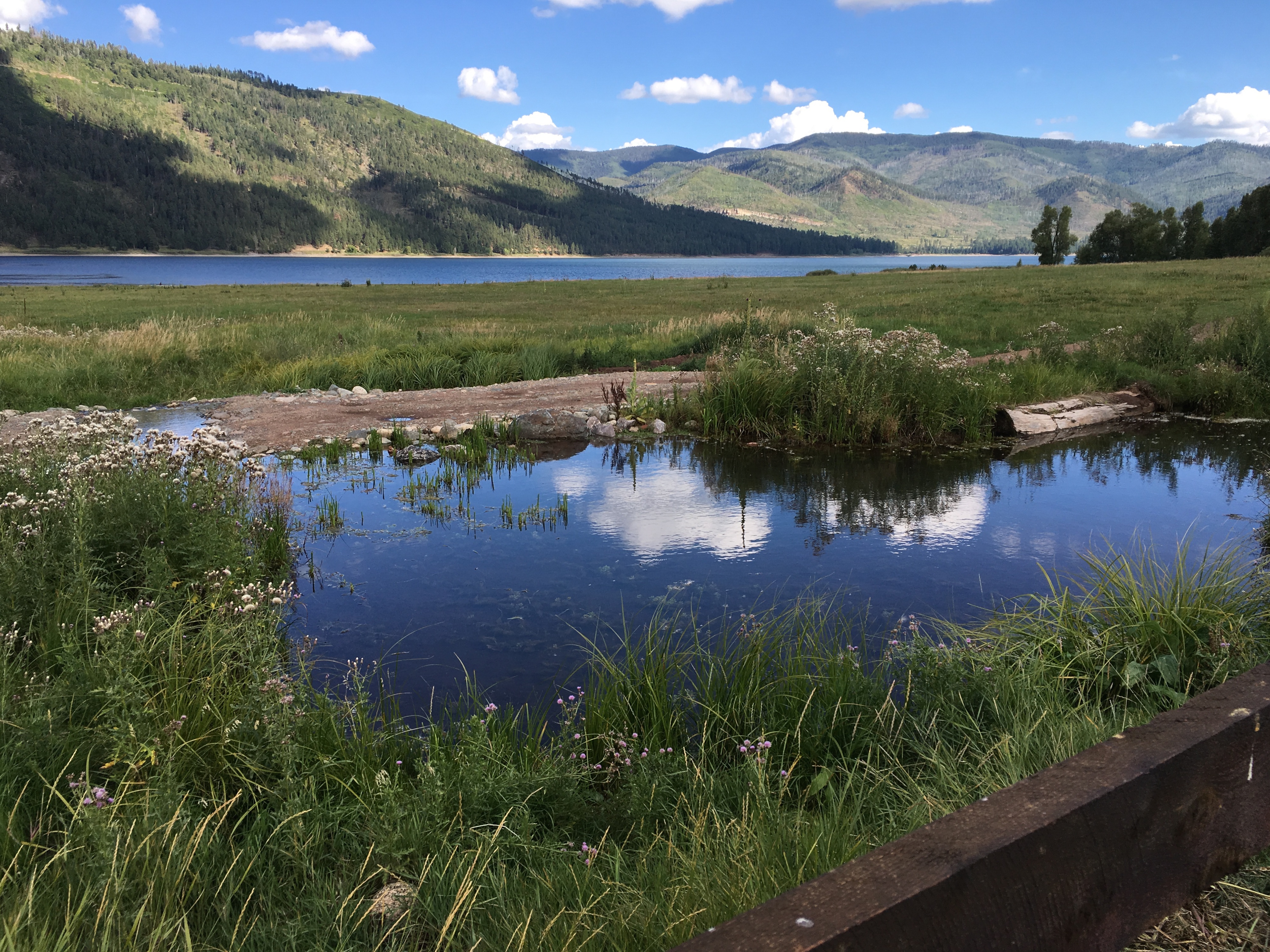
Cool Water Ranch, Colorado
lemon reservoir durango colorado america usa unitedstates americanwest mountain valley sunlight rocks trees foliage sky clouds ridge dam water lake vista view nature landscape forest legacy elitegalleryaoi bestcapturesaoi aoi us northamerica paysage paisaje paesaggio landschaft natural horizon range peak ridgeline tree rock stone geology erosion cloud light sunshine nikon d7200 nikkor gsb
Lemon Reservoir, Colorado
nature 2018 colorado vallecito roadtrip
Picture perfect view
plant flower colorado dandelion vallecitolake
Ready to Fly
sunny hinsdalecounty img8249 riograndenationalforest southerncolorado viewfromanairplane sanjuancounty snowcappedmountains southwesterncoloradolandscape sanjuancountycolorado continentaldivideoftheamericas aerialphotographofmountains 20190420 southwestcoloradolandscape coloradoriverwatershed aerialview april mountainlandscape mountainaerial aerialviewofmountains mountains snowylandscape continentaldivide laplatacountycolorado snowymountains coloradoriverdrainagebasin riograndedrainagebasin sanjuannationalforest riograndewatershed sunnylandscape aerialphoto mountainouslandscape laplatacounty southwestcolorado aeriallandscape sanjuanmountains colorado southwesterncolorado snow aerialphotograph 2019 april2019 hinsdalecountycolorado
Out for a hike!, in the San Juan Mountains in southwestern Colorado.
vacation mountain nature landscape colorado place event keyword vallecitolake eventvacation fritzmb keywordnaturelandscapemountain middlemountainroad placecoloradovallecitolakemiddlemountainroad
Middle Mountain Road
vacation mountain nature landscape colorado place event keyword vallecitolake eventvacation fritzmb keywordnaturelandscapemountain middlemountainroad placecoloradovallecitolakemiddlemountainroad
Middle Mountain Road
tyeredhouse canon photography nature beauty beautiful outdoors view scenery vallecitolake colorado mountains summer
Up At Vallecito!
panorama geotagged cabin colorado ptassembler vallecito perfectpanoramas geolon107563534 geolat37385026
View from the Deck
camping colorado hiking backpacking weminuche sanjuannationalforest pineriver lospinosriver pinerivercampground
5844 View from Route 501 of the Pine River Valley as I drive the car back to the Pine River Campground
camping colorado hiking backpacking sanjuannationalforest pinerivertrail pinerivercampground
5834 View from our campsite at the Pine River Campground of Peak 9777
cabin colorado bayfield
The view from the cabin
vallecitoreservoir vallecito reservoir lake reflection clouds mountains durango colorado sanjuan nationalforest national forest rural water landscape
Magical Morning
fallcolors fall autumn nature’sbeauty nature colorado 2018 roadtrip
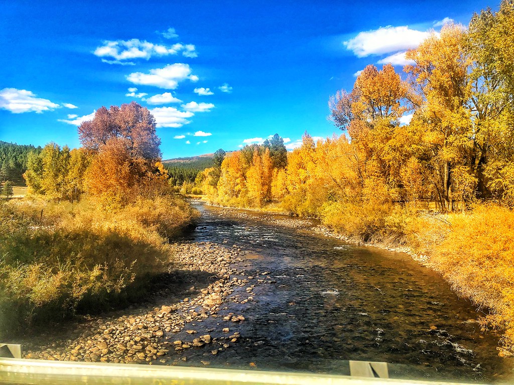
Fall Colors in Colorado
nature’sbeauty nature colorado vallecito 2018 roadtrip
Beauty Everywhere
usa mountain night forest stars twilight colorado clear co 2012
Mountain Star-Light
Lemon Reservoir in Durango, Colorado, 2 days ago. There is no snow and it is February. Looks drought could be on the horizon.
trees green pine sunrise river colorado reservoir burn area co joeldeluxe oaks 2008 durango hdr bayfield vallecitos pineriver missionaryfire pinerivervalley
Pine River Valley
road county winter cars wool grass animals fauna colorado sheep shepherd co grasses joeldeluxe hdr blocking grazing herding betterpastures
Sheep on a country road
Sky in a Lake
colorado co landscapes archuletacounty sanjuannationalforest nationalforests unitedstatesforestservice countysigns northamerica unitedstates us rockymountains
Entering Archuleta County (Archuleta County, Colorado)
usa west america river geotagged centennial us los colorado unitedstates state united north reservoir american rivers western co northamerica states pinos floyd muaddib americanwest bayfield southwestern westernusa vallecito southwesterncolorado vallecitoreservoir lospinosriver centennialstate westernamerica bayfieldcolorado bayfieldco southwesternco floydmuaddib
Los Pinos River: North of Bayfield, Colorado (CO)
ranch red usa mountain mountains west america river geotagged centennial us colorado unitedstates cattle state angus united north american western co northamerica states floyd muaddib americanwest bayfield southwestern riverranch westernusa redangus southwesterncolorado centennialstate westernamerica bayfieldcolorado bayfieldco redanguscattle southwesternco floydmuaddib
Red Angus: River Ranch: North of Bayfield, Colorado (CO)
sanjuannationalforest
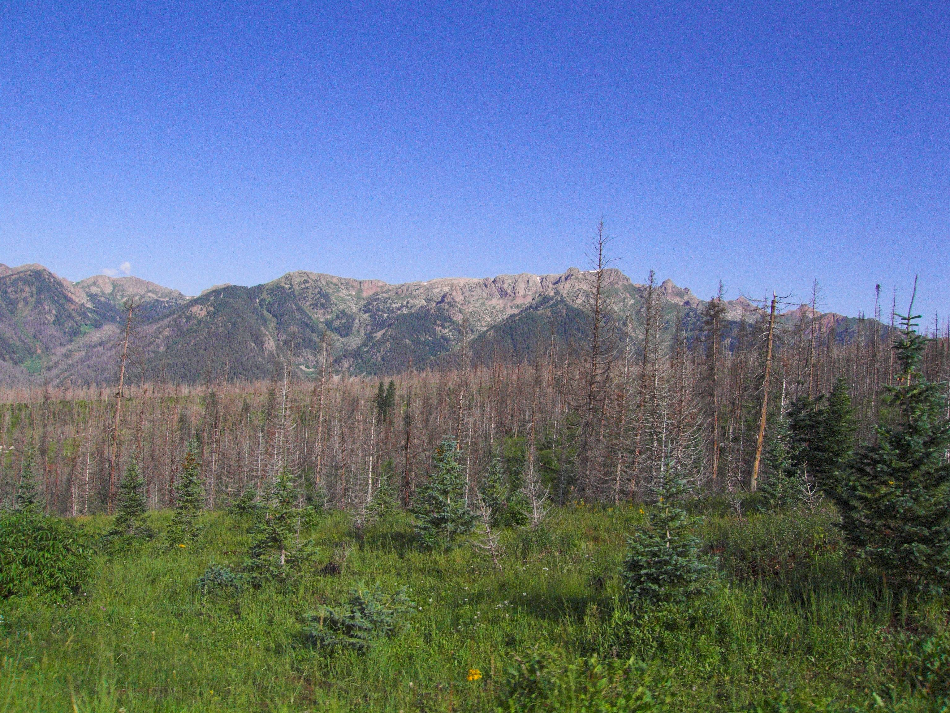
San Juan National Forest
camping colorado hiking backpacking wilderness weminuche weminuchewilderness sanjuannationalforest vallecitocreektrail
2756 Looking southwest toward West Mountain as we climb higher on the Vallecito Creek Trail