Elevation of Pura Vida Cafe, Co Rd, Bayfield, CO, USA
Location: United States > Colorado > Bayfield >
Longitude: -107.56233
Latitude: 37.3965628
Elevation: 2345m / 7694feet
Barometric Pressure: 76KPa
Elevation Map:
Satellite Map:
Related Photos:
View from the Deck
Middle Mountain Road
Middle Mountain Road
Ready to Fly
5834 View from our campsite at the Pine River Campground of Peak 9777
5844 View from Route 501 of the Pine River Valley as I drive the car back to the Pine River Campground
The view from the cabin
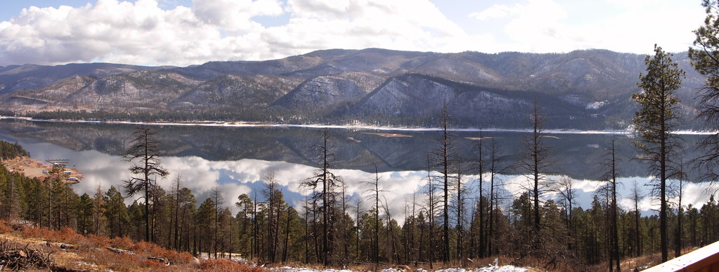
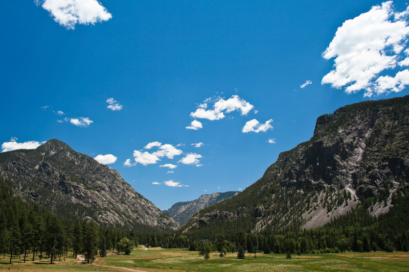
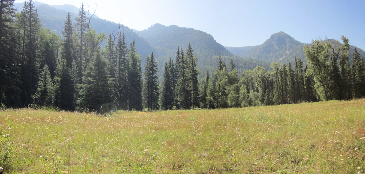
Pine River Valley
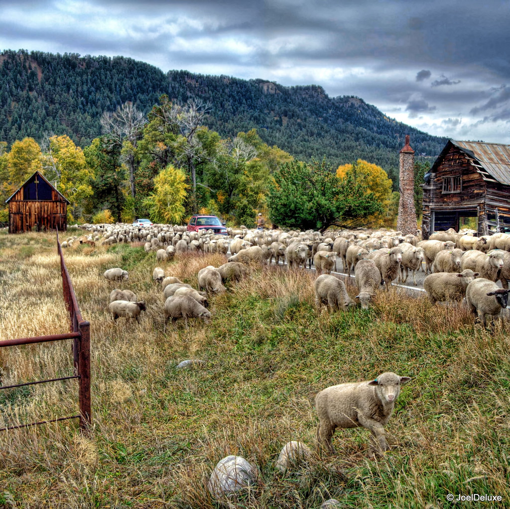
Sheep on a country road
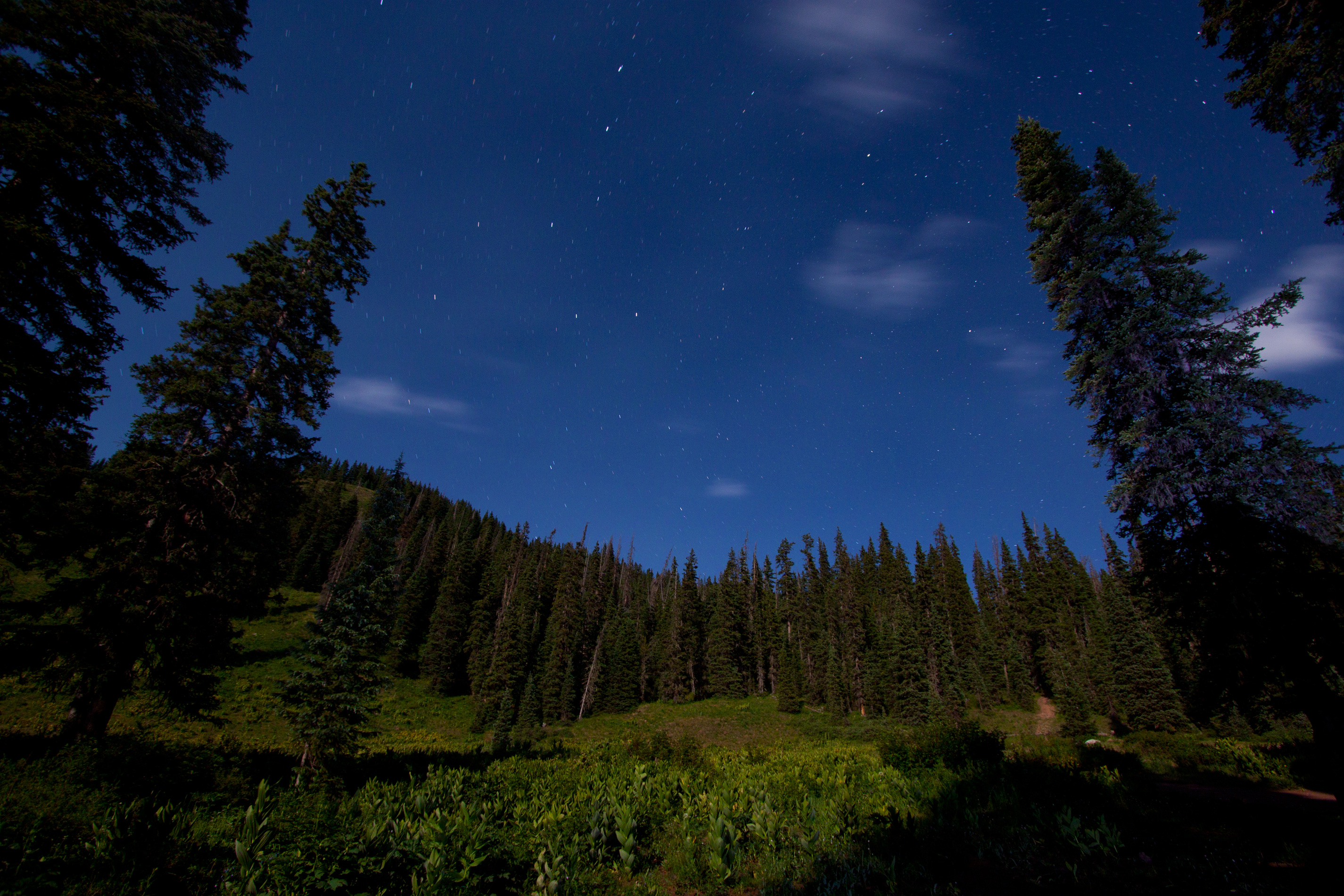
Mountain Star-Light

Morning Descends, II

5899 Sunrise over the Pine River Valley from the Pine River Campground
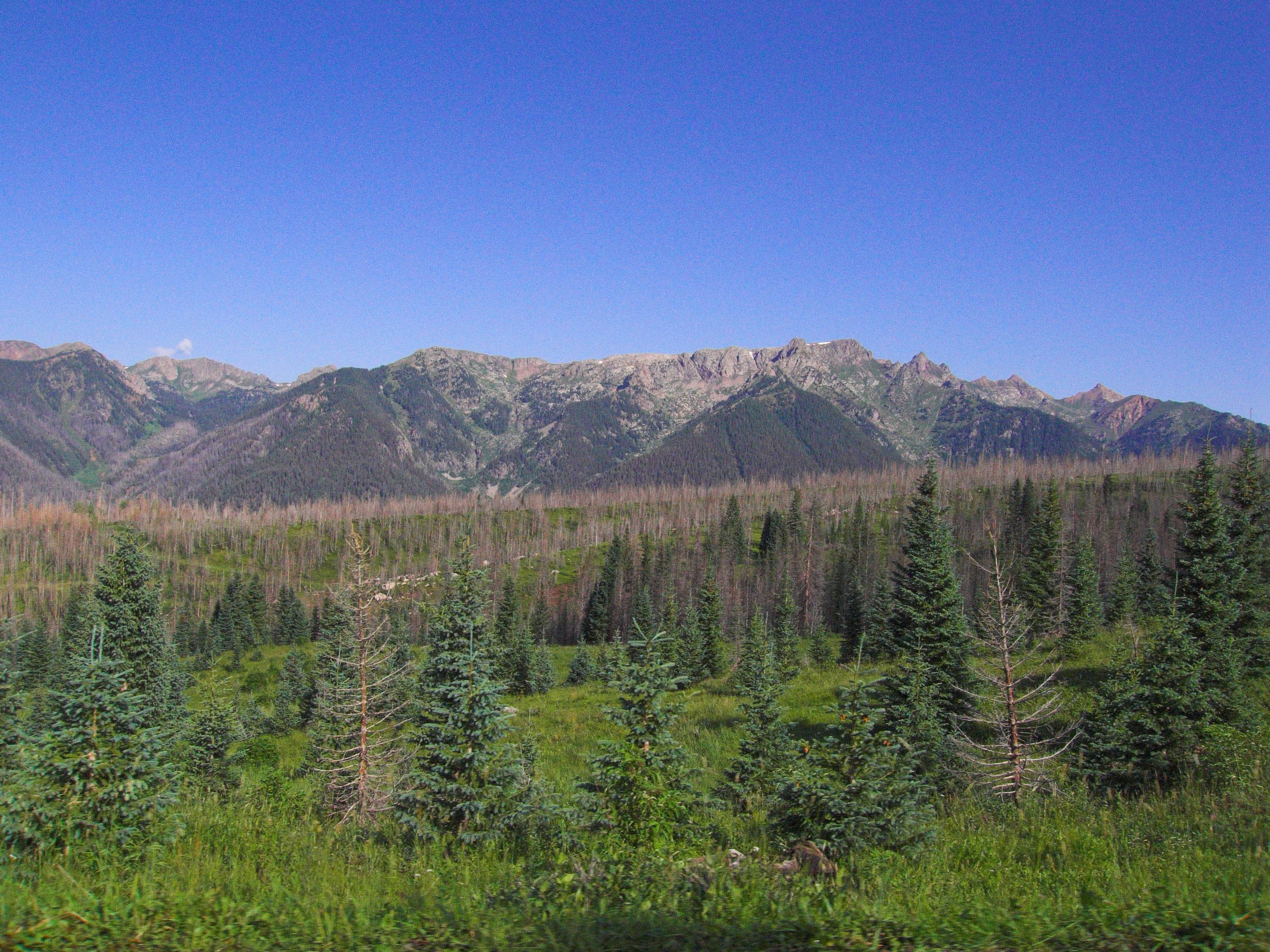
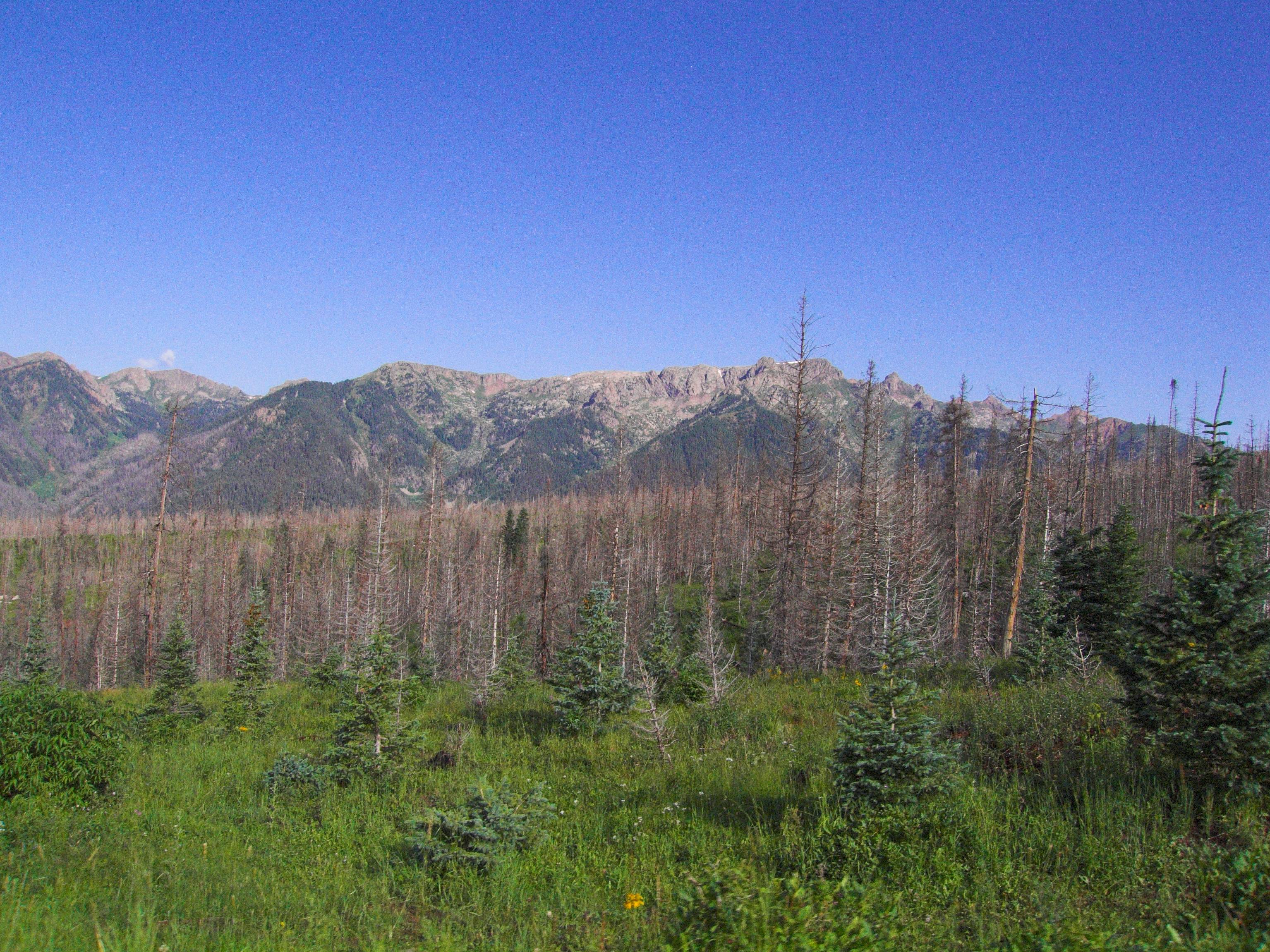
Granite Peaks
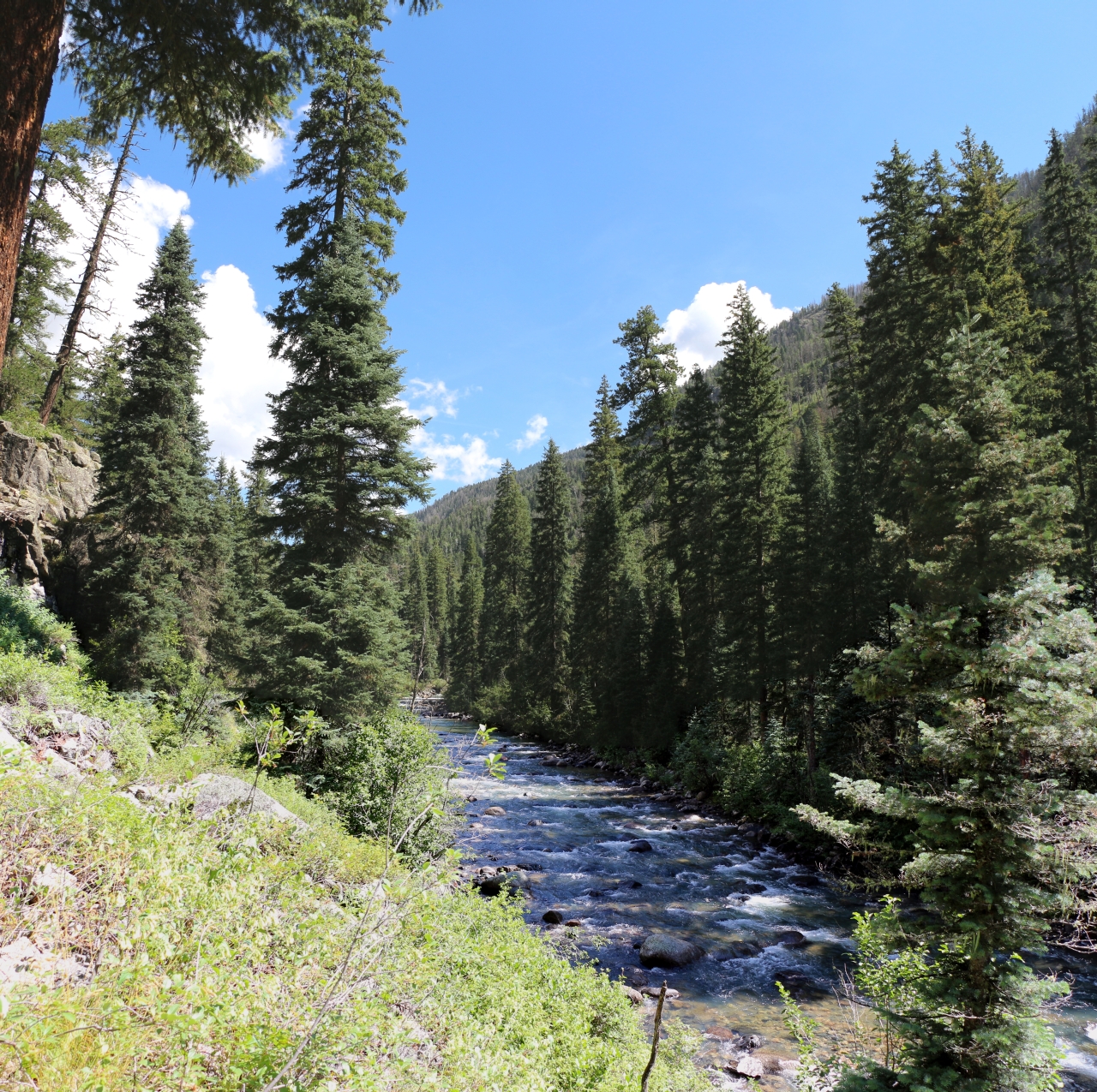
2902 Vallecito Creek
5685 Peaks 10302 and 10383 and Lost Canyon across the way as we hike down the Pine River Trail

2615 Sunrise over Vallecito Reservoir with Irving Peak (13218 feet elevation) and a fisherman in a boat

july24-1
2789 Irving Peak in the distance as we hike up the Vallecito Creek Trail
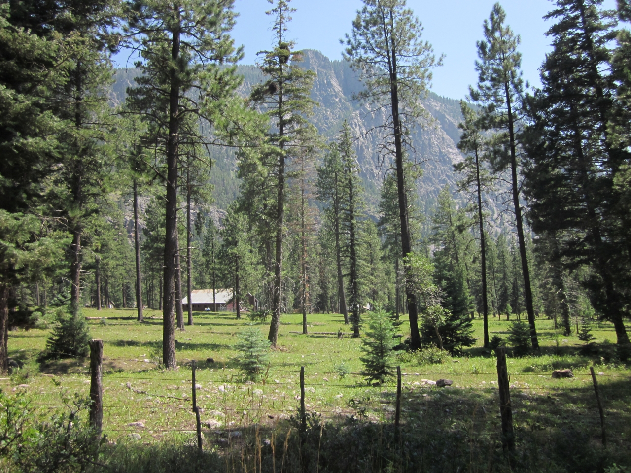
5792 Looking out at the lovely Granite Peak Ranch from the Pine River Trail

Mountain. Taken with my new Canon PowerShot SX50 HS, which I got as a graduation present. :)
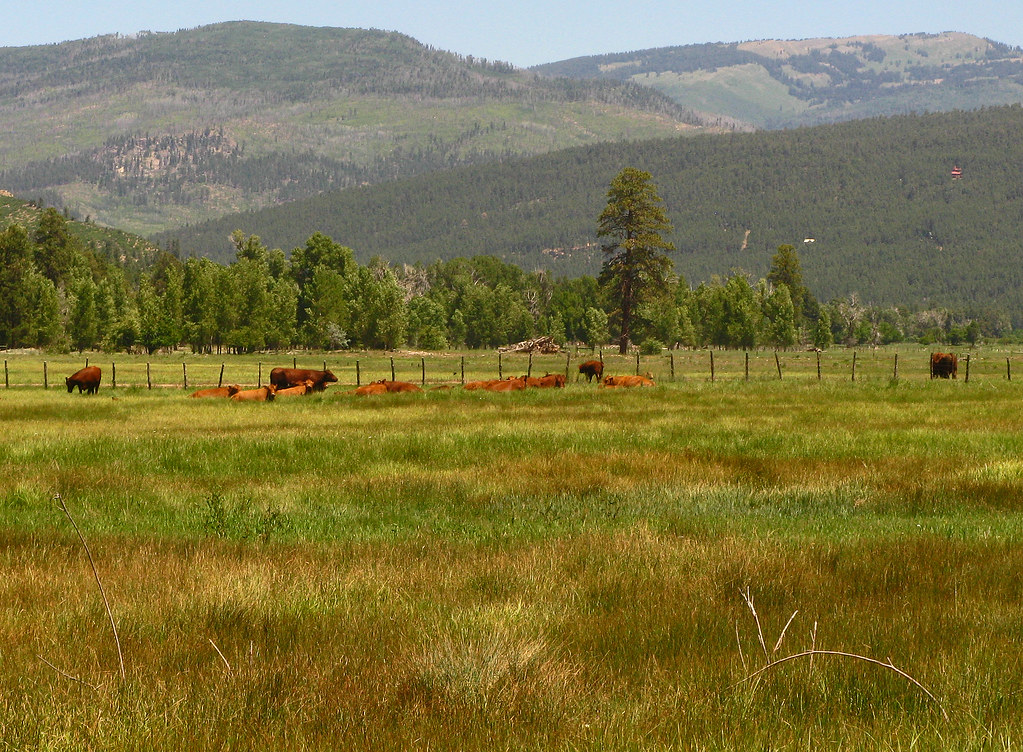
Red Angus: River Ranch: North of Bayfield, Colorado (CO)

Lakeside Campfire
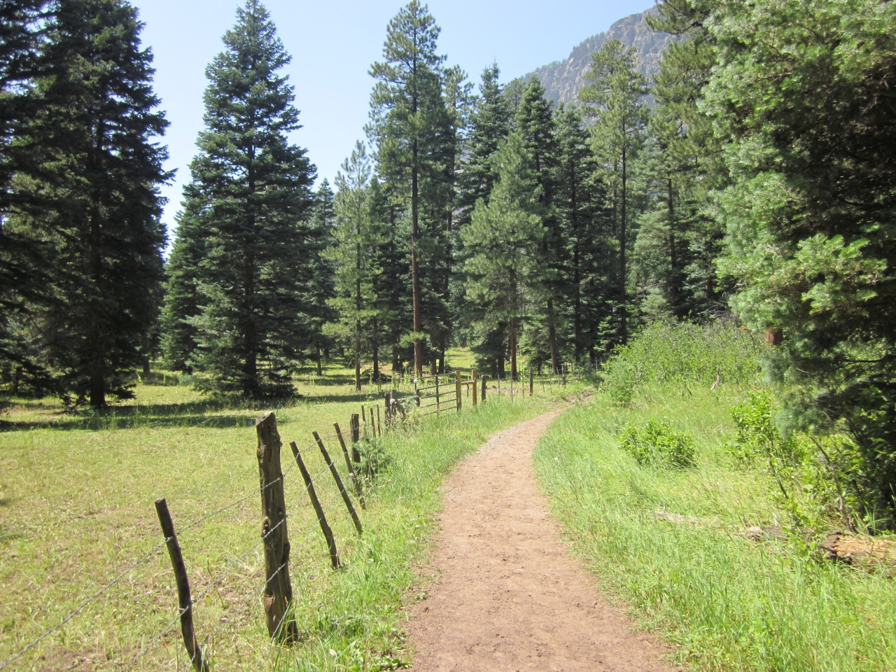
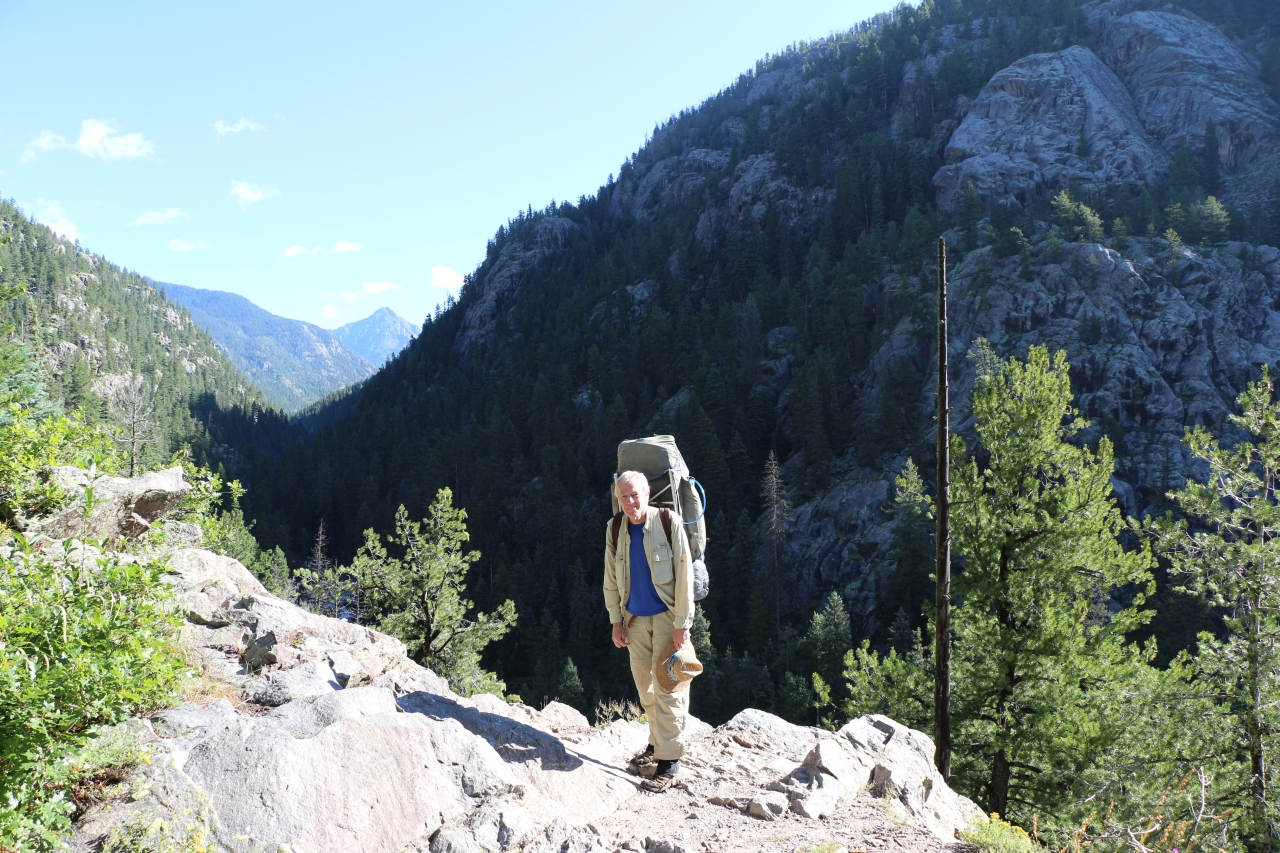
5778 Hiking the Pine River Trail along the border of the Granite Peak Ranch
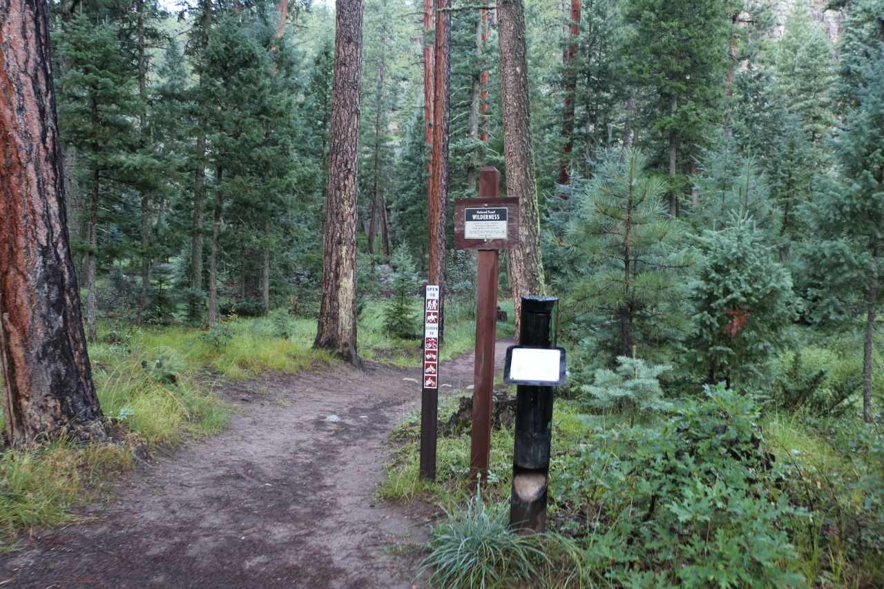
2646 The Vallecito Creek Trailhead and wilderness entry register
Topographic Map of Pura Vida Cafe, Co Rd, Bayfield, CO, USA
Find elevation by address:

Places near Pura Vida Cafe, Co Rd, Bayfield, CO, USA:
1088 Lake View Dr
Graham Creek Campground
Co Rd, Bayfield, CO, USA
Vallecito
Vallecito Lake Chamber Of Commerce
230 Boletus Creek Dr
821 Mushroom Ln
395 Decker Dr
371 Co Rd 500
90 Tucker Dr
254 Co Rd 500
West Mountain
317 Hillside Dr
984 Blue Ridge Dr
847 Blue Ridge Dr
904 Pinetree Dr
112 Ridgetop Dr
774 Blue Ridge Dr
311 Lakeview Dr
504 Blue Ridge Dr
Recent Searches:
- Elevation of Corso Fratelli Cairoli, 35, Macerata MC, Italy
- Elevation of Tallevast Rd, Sarasota, FL, USA
- Elevation of 4th St E, Sonoma, CA, USA
- Elevation of Black Hollow Rd, Pennsdale, PA, USA
- Elevation of Oakland Ave, Williamsport, PA, USA
- Elevation of Pedrógão Grande, Portugal
- Elevation of Klee Dr, Martinsburg, WV, USA
- Elevation of Via Roma, Pieranica CR, Italy
- Elevation of Tavkvetili Mountain, Georgia
- Elevation of Hartfords Bluff Cir, Mt Pleasant, SC, USA