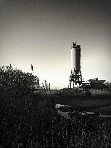
Elevation of Rumley St, Jewett, OH, USA
Location: United States > Ohio > Harrison County > Rumley Township > Jewett >
Longitude: -81.005491
Latitude: 40.3676039
Elevation: 307m / 1007feet
Barometric Pressure: 98KPa
Related Photos:
Topographic Map of Rumley St, Jewett, OH, USA
Find elevation by address:

Places near Rumley St, Jewett, OH, USA:
Jewett
308 W Main St
Rumley Township
Rumley Rd E, Jewett, OH, USA
New Rumley
Scio
38625 Bower Rd
Cadiz
North Township
Annapolis Rd, Hopedale, OH, USA
Green Township
Lahm Drive
Cadiz Township
Hopedale
County Highway 44
Village Street
Village Street
132 E Main St
Harrison County
88440 Beaver Dam Rd
Recent Searches:
- Elevation of Corso Fratelli Cairoli, 35, Macerata MC, Italy
- Elevation of Tallevast Rd, Sarasota, FL, USA
- Elevation of 4th St E, Sonoma, CA, USA
- Elevation of Black Hollow Rd, Pennsdale, PA, USA
- Elevation of Oakland Ave, Williamsport, PA, USA
- Elevation of Pedrógão Grande, Portugal
- Elevation of Klee Dr, Martinsburg, WV, USA
- Elevation of Via Roma, Pieranica CR, Italy
- Elevation of Tavkvetili Mountain, Georgia
- Elevation of Hartfords Bluff Cir, Mt Pleasant, SC, USA

