Elevation of Cadiz Township, OH, USA
Location: United States > Ohio > Harrison County >
Longitude: -81.053385
Latitude: 40.26813
Elevation: 354m / 1161feet
Barometric Pressure: 97KPa
Elevation Map:
Satellite Map:
Related Photos:

Airport Motel Receipt
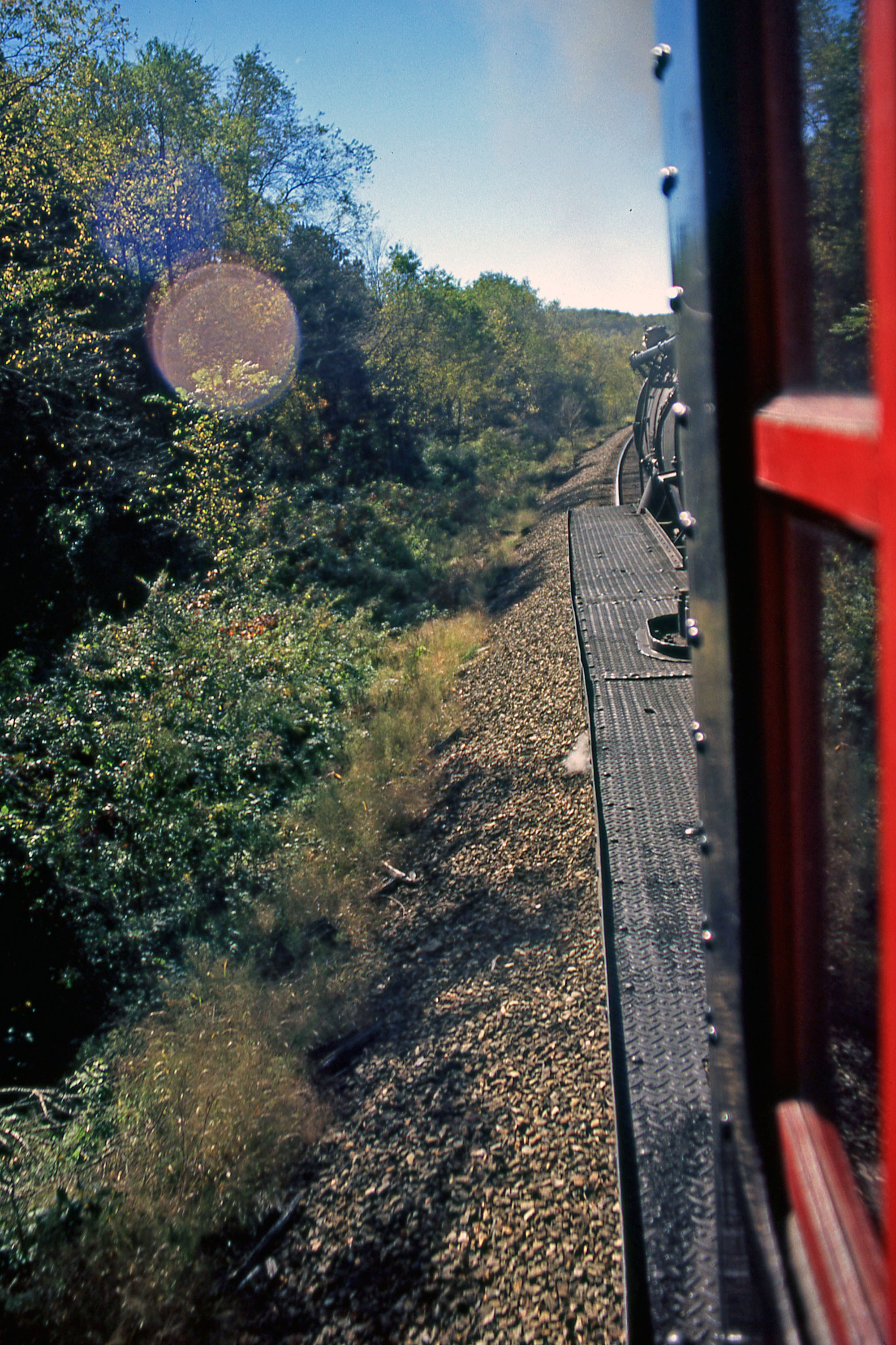
Ohio Central 1293 Cab Ride: 1

Fried chicken

99 Bottles of Beer

All fours

Running with scissors

Thunderforce 3

Animal Crackers

Boots on the ground

Tea for two

Great White

Fools will follow

Hot Chocolate

Selective service
Rocket ride

Throw in the towel

Dutch uncle

Rear ended

Loud speaker

Sack lunch

The season of my discontent

A la carte

Blades of steel
Topographic Map of Cadiz Township, OH, USA
Find elevation by address:

Places in Cadiz Township, OH, USA:
Places near Cadiz Township, OH, USA:
Cadiz
Harrison County
308 W Main St
Rumley St, Jewett, OH, USA
Jewett
38625 Bower Rd
Rumley Township
North Township
Scio
County Highway 44
Rumley Rd E, Jewett, OH, USA
New Rumley
Green Township
Main St, Cadiz, OH, USA
Deersville
Main Street
100 Main St
214 Patterson Ln
Deersville General Store
212 Main St
Recent Searches:
- Elevation of Corso Fratelli Cairoli, 35, Macerata MC, Italy
- Elevation of Tallevast Rd, Sarasota, FL, USA
- Elevation of 4th St E, Sonoma, CA, USA
- Elevation of Black Hollow Rd, Pennsdale, PA, USA
- Elevation of Oakland Ave, Williamsport, PA, USA
- Elevation of Pedrógão Grande, Portugal
- Elevation of Klee Dr, Martinsburg, WV, USA
- Elevation of Via Roma, Pieranica CR, Italy
- Elevation of Tavkvetili Mountain, Georgia
- Elevation of Hartfords Bluff Cir, Mt Pleasant, SC, USA