Elevation of Rui, Maharashtra, India
Location: India > Maharashtra > Kolhapur >
Longitude: 74.4266907
Latitude: 16.6861756
Elevation: 560m / 1837feet
Barometric Pressure: 0KPa
Related Photos:

DMIT Test , Counselling

DMIT Test , Counselling

Image acquired by Sentinel-2A on 2019 January 30 at 5:44 UTC. Centre coordinates: 16.69 N, 74.58 E.

Village turns golden...

Depressed cat :(OR sleeping cat |)

India - 1983(2)

कणेरी मठ, पेठचा गणपती, जोतिबा, नरसोबाची वाडी, महालक्ष्मी कोल्हापूर.
Rather pretty sunrise!

Helicopter...!!!

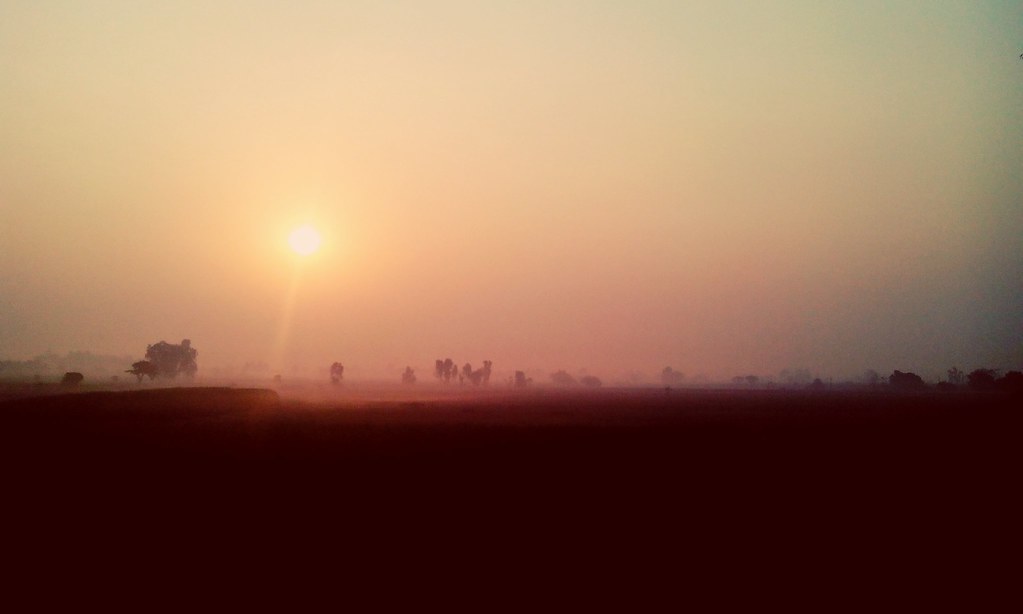
Sunset in Maharashtra

Brick Column

Kagal S_T stand

07072008(023)_NLT
Topographic Map of Rui, Maharashtra, India
Find elevation by address:

Places near Rui, Maharashtra, India:
Shahu Nagar
Mahaling Mala Galli Number 1
Yashwant Colony
Vishwakarma Nagar
Chandur
Kamla Nehru Colony
Pujari Mala
Kalanagar
Ridhi Sidhi Nagar
Ichalkaranji
Gurukannan Nagar
Vikas Nagar
Sodage Mala
Satpute Galli
Datarmala
Cloth Market
Mahadev Nagar
Kagwade Mala
Ingali
Ashok Nagar
Recent Searches:
- Elevation of 2881, Chabot Drive, San Bruno, San Mateo County, California, 94066, USA
- Elevation of 10370, West 107th Circle, Westminster, Jefferson County, Colorado, 80021, USA
- Elevation of 611, Roman Road, Old Ford, Bow, London, England, E3 2RW, United Kingdom
- Elevation of 116, Beartown Road, Underhill, Chittenden County, Vermont, 05489, USA
- Elevation of Window Rock, Colfax County, New Mexico, 87714, USA
- Elevation of 4807, Rosecroft Street, Kempsville Gardens, Virginia Beach, Virginia, 23464, USA
- Elevation map of Matawinie, Quebec, Canada
- Elevation of Sainte-Émélie-de-l'Énergie, Matawinie, Quebec, Canada
- Elevation of Rue du Pont, Sainte-Émélie-de-l'Énergie, Matawinie, Quebec, J0K2K0, Canada
- Elevation of 8, Rue de Bécancour, Blainville, Thérèse-De Blainville, Quebec, J7B1N2, Canada
- Elevation of Wilmot Court North, 163, University Avenue West, Northdale, Waterloo, Region of Waterloo, Ontario, N2L6B6, Canada
- Elevation map of Panamá Province, Panama
- Elevation of Balboa, Panamá Province, Panama
- Elevation of San Miguel, Balboa, Panamá Province, Panama
- Elevation of Isla Gibraleón, San Miguel, Balboa, Panamá Province, Panama
- Elevation of 4655, Krischke Road, Schulenburg, Fayette County, Texas, 78956, USA
- Elevation of Carnegie Avenue, Downtown Cleveland, Cleveland, Cuyahoga County, Ohio, 44115, USA
- Elevation of Walhonding, Coshocton County, Ohio, USA
- Elevation of Clifton Down, Clifton, Bristol, City of Bristol, England, BS8 3HU, United Kingdom
- Elevation map of Auvergne-Rhône-Alpes, France