Elevation of Shahu Nagar, Chandur, Maharashtra, India
Location: India > Maharashtra > Kolhapur > Chandur >
Longitude: 74.4349687
Latitude: 16.6805721
Elevation: 558m / 1831feet
Barometric Pressure: 95KPa
Elevation Map:
Satellite Map:
Related Photos:

DMIT Test , Counselling

DMIT Test , Counselling

Image acquired by Sentinel-2A on 2019 January 30 at 5:44 UTC. Centre coordinates: 16.69 N, 74.58 E.

Village turns golden...

India - 1983(2)

कणेरी मठ, पेठचा गणपती, जोतिबा, नरसोबाची वाडी, महालक्ष्मी कोल्हापूर.
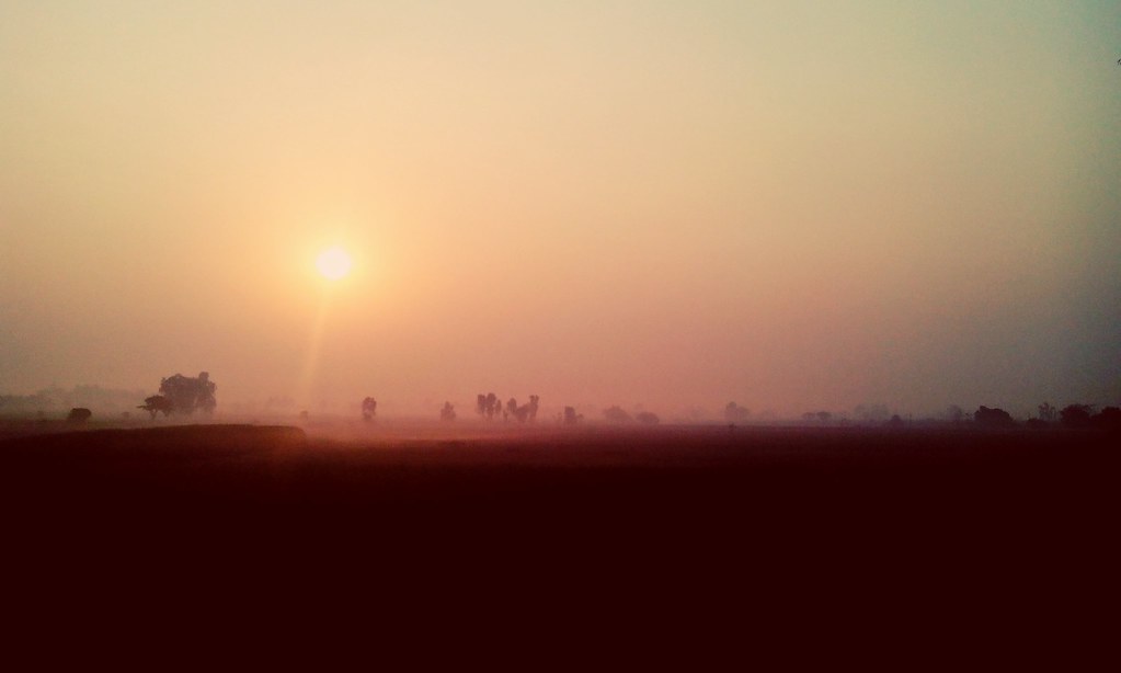
Rather pretty sunrise!

Helicopter...!!!

Sunset in Maharashtra

Kagal S_T stand

07072008(023)_NLT
Topographic Map of Shahu Nagar, Chandur, Maharashtra, India
Find elevation by address:

Places near Shahu Nagar, Chandur, Maharashtra, India:
Rui
Mahaling Mala Galli Number 1
Kalanagar
Yashwant Colony
Pujari Mala
Kamla Nehru Colony
Vishwakarma Nagar
Chandur
Ridhi Sidhi Nagar
Gurukannan Nagar
Ichalkaranji
Vikas Nagar
Mahadev Nagar
Datarmala
Sodage Mala
Satpute Galli
Kagwade Mala
Cloth Market
Laxmi Venkatesh Nagar
Ashok Nagar
Recent Searches:
- Elevation of Corso Fratelli Cairoli, 35, Macerata MC, Italy
- Elevation of Tallevast Rd, Sarasota, FL, USA
- Elevation of 4th St E, Sonoma, CA, USA
- Elevation of Black Hollow Rd, Pennsdale, PA, USA
- Elevation of Oakland Ave, Williamsport, PA, USA
- Elevation of Pedrógão Grande, Portugal
- Elevation of Klee Dr, Martinsburg, WV, USA
- Elevation of Via Roma, Pieranica CR, Italy
- Elevation of Tavkvetili Mountain, Georgia
- Elevation of Hartfords Bluff Cir, Mt Pleasant, SC, USA