Elevation of Rosedale VIC, Australia
Location: Australia > Victoria > Wellington Shire >
Longitude: 146.7894203
Latitude: -38.1517147
Elevation: 21m / 69feet
Barometric Pressure: 0KPa
Related Photos:

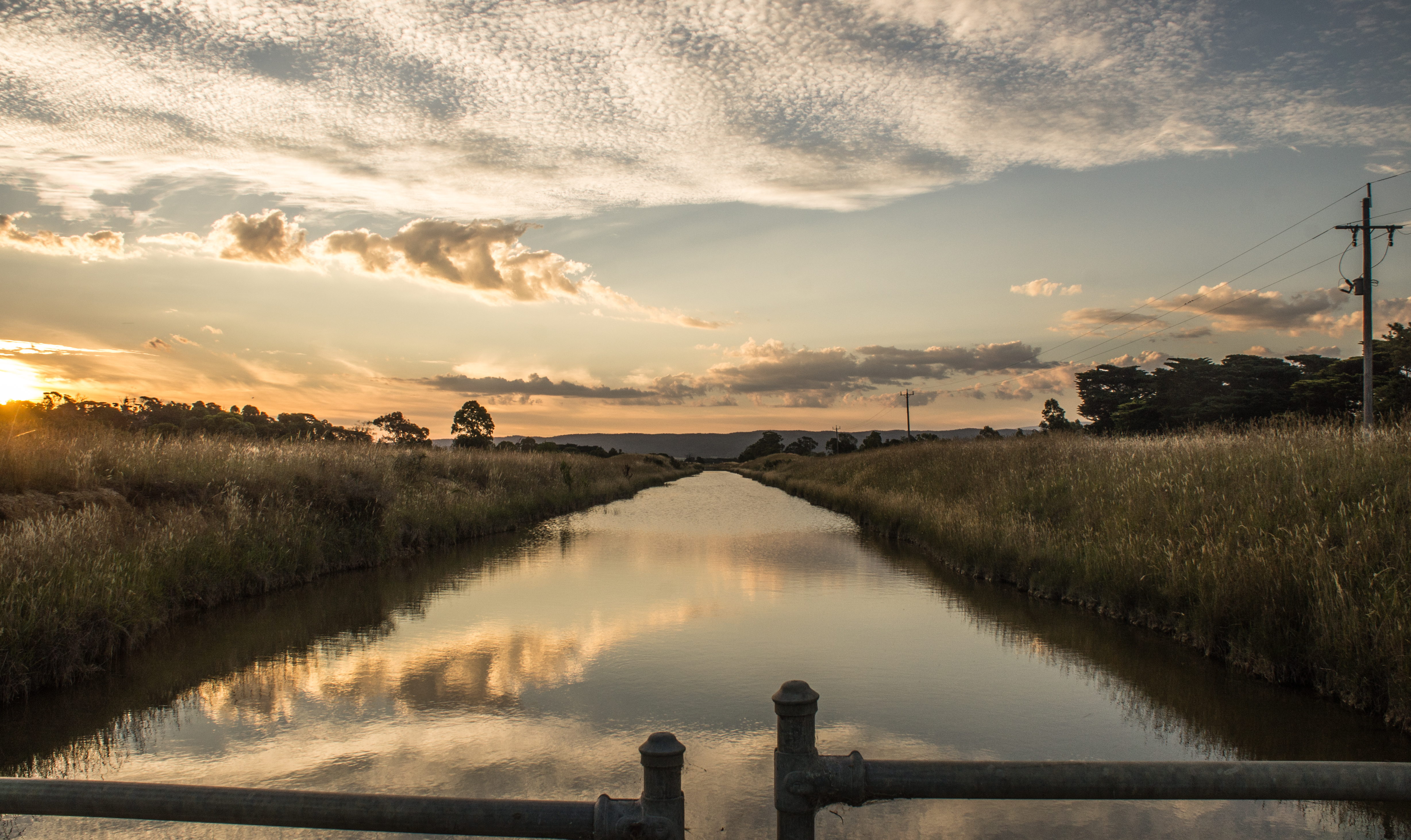
River view

Afternoon storm clouds

St. Mark's Anglican Church, Rosedale, VIC, Australia

St. Mark's Anglican Church, Rosedale, VIC, Australia

St. Mark's Anglican Church, Rosedale, VIC, Australia

St. Mark's Anglican Church, Rosedale, VIC, Australia

The night view 2

The old Holden #oldholden #australiansummer #view #fatduckfarm

Our back yard view@#fatduckfarm #view #australiansummer #oldholden

Temp Inversion
Sunset @ river

Gate way

Drive through

Flooded Sunset

A boundary-less pasture at Fulham, VIC
Topographic Map of Rosedale VIC, Australia
Find elevation by address:

Places near Rosedale VIC, Australia:
Springrove
Holey Plains State Park
175 Boggy Creek Rd
Sale
Dundas Street
1 Krista Ct
Longford
108 Zacher Rd
Wellington Shire
Latrobe City
Garretts Road
Morwell
Seaspray
Churchill
Woodside Beach
Panorama Drive
Panorama Drive
8 Gowrie Rise
Alberton
Manns Beach
Recent Searches:
- Elevation of 107, Big Apple Road, East Palatka, Putnam County, Florida, 32131, USA
- Elevation of Jiezi, Chongzhou City, Sichuan, China
- Elevation of Chongzhou City, Sichuan, China
- Elevation of Huaiyuan, Chongzhou City, Sichuan, China
- Elevation of Qingxia, Chengdu, Sichuan, China
- Elevation of Corso Fratelli Cairoli, 35, Macerata MC, Italy
- Elevation of Tallevast Rd, Sarasota, FL, USA
- Elevation of 4th St E, Sonoma, CA, USA
- Elevation of Black Hollow Rd, Pennsdale, PA, USA
- Elevation of Oakland Ave, Williamsport, PA, USA
- Elevation of Pedrógão Grande, Portugal
- Elevation of Klee Dr, Martinsburg, WV, USA
- Elevation of Via Roma, Pieranica CR, Italy
- Elevation of Tavkvetili Mountain, Georgia
- Elevation of Hartfords Bluff Cir, Mt Pleasant, SC, USA
- Elevation of SW Barberry Dr, Beaverton, OR, USA
- Elevation of Old Ahsahka Grade, Ahsahka, ID, USA
- Elevation of State Hwy F, Pacific, MO, USA
- Elevation of Chemin de Bel air, Chem. de Bel air, Mougins, France
- Elevation of Cloverdale Dr, Bloomingdale, GA, USA