Elevation of Alberton VIC, Australia
Location: Australia > Victoria > Wellington Shire >
Longitude: 146.666667
Latitude: -38.616667
Elevation: 9m / 30feet
Barometric Pressure: 0KPa
Related Photos:
Yarram

Great Ocean Road

Port Albert story

Port Albert Glass

Yarram Centenary of Flight
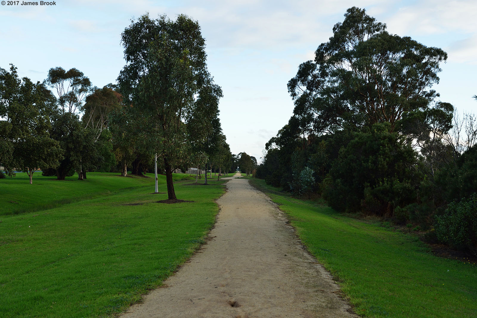
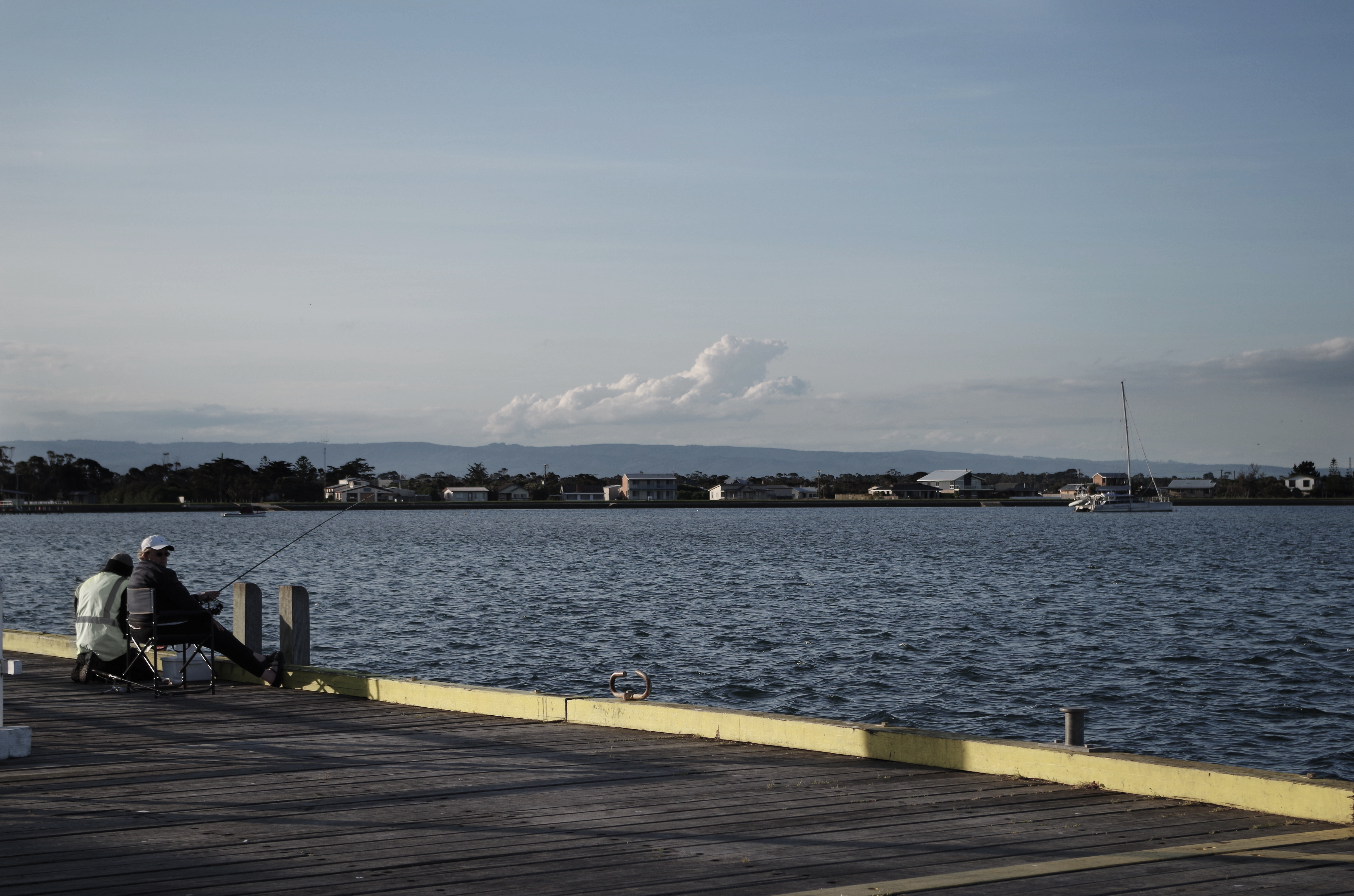
On the way to fish n chips
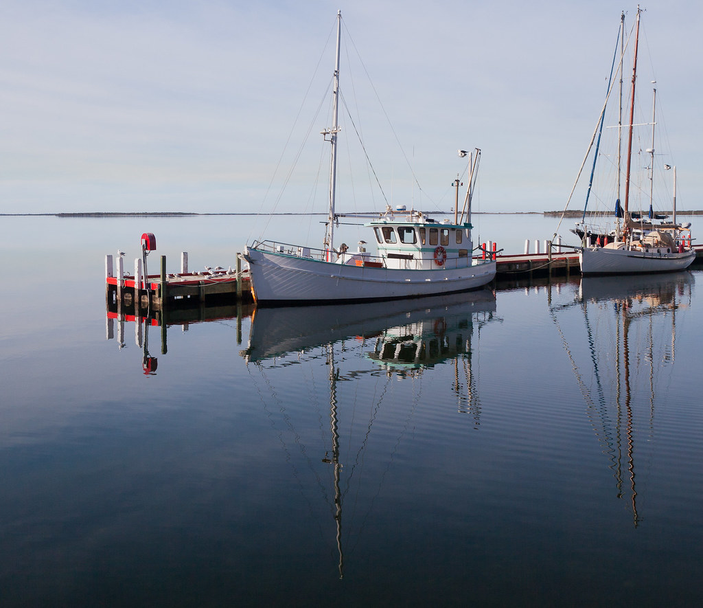
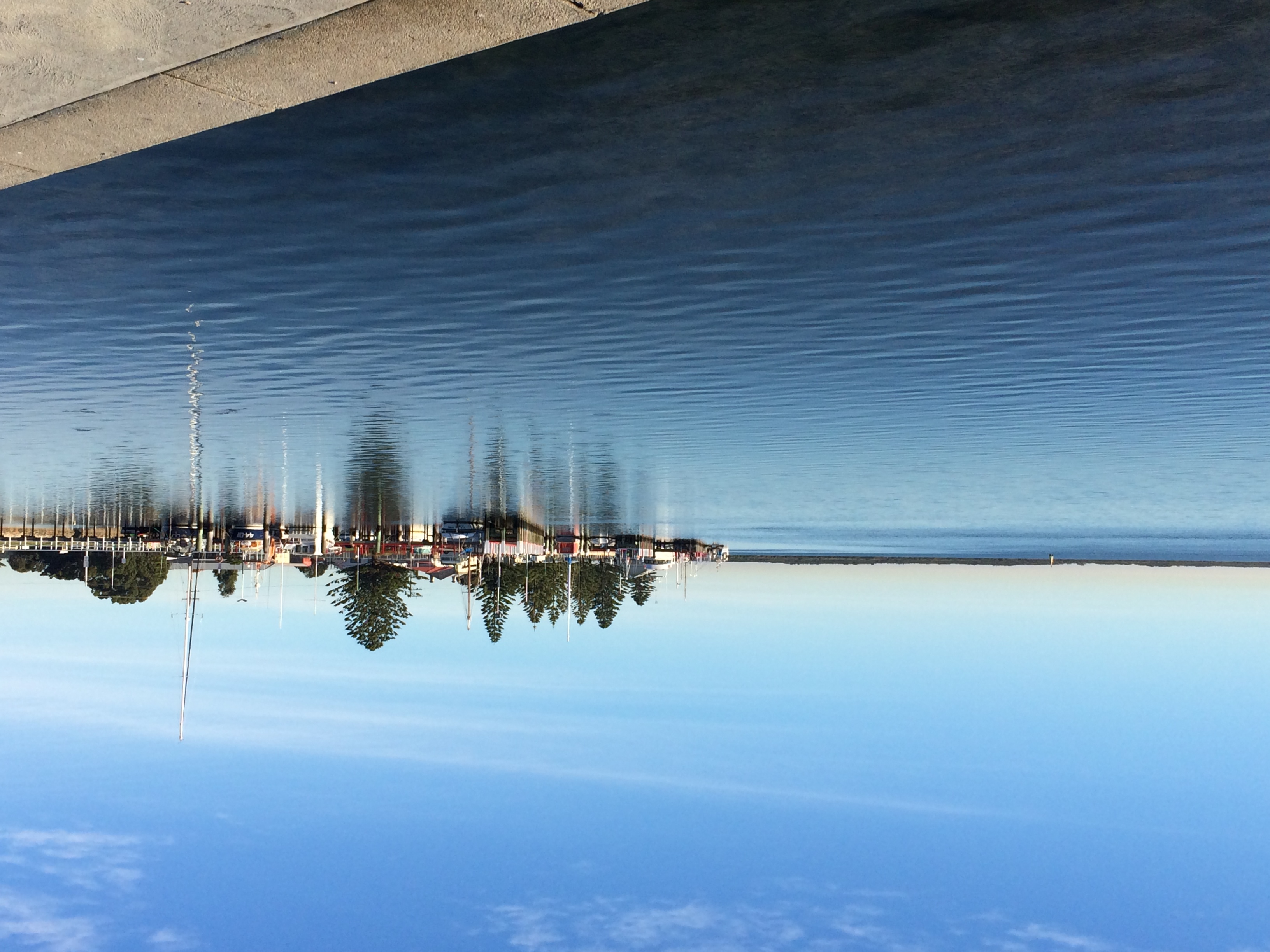
Boats at port Albert
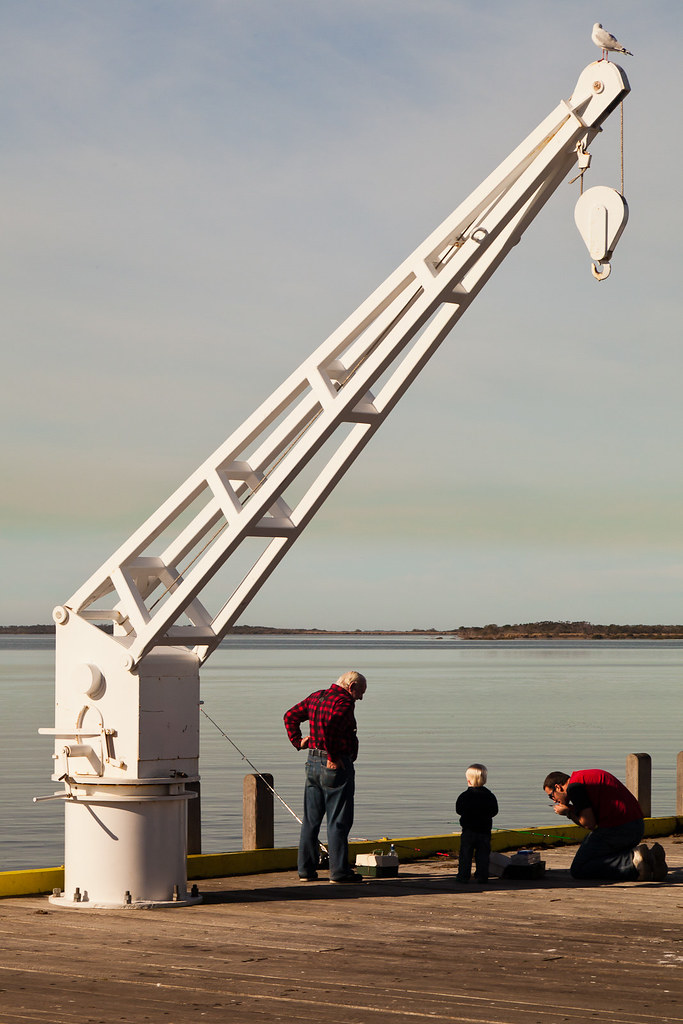
3 Generation plus one bird
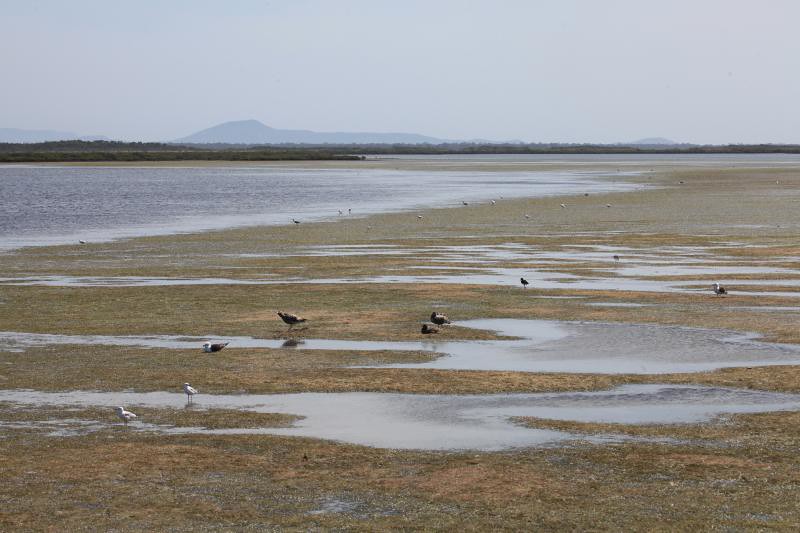
Mudflats at Port Albert, South Gippsland, Victoria, Australia.
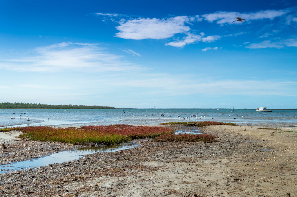
Manns Beach, Victoria.
Port Albert
Port Albert this morning. For Victoria's 7pm news. Flo Costello
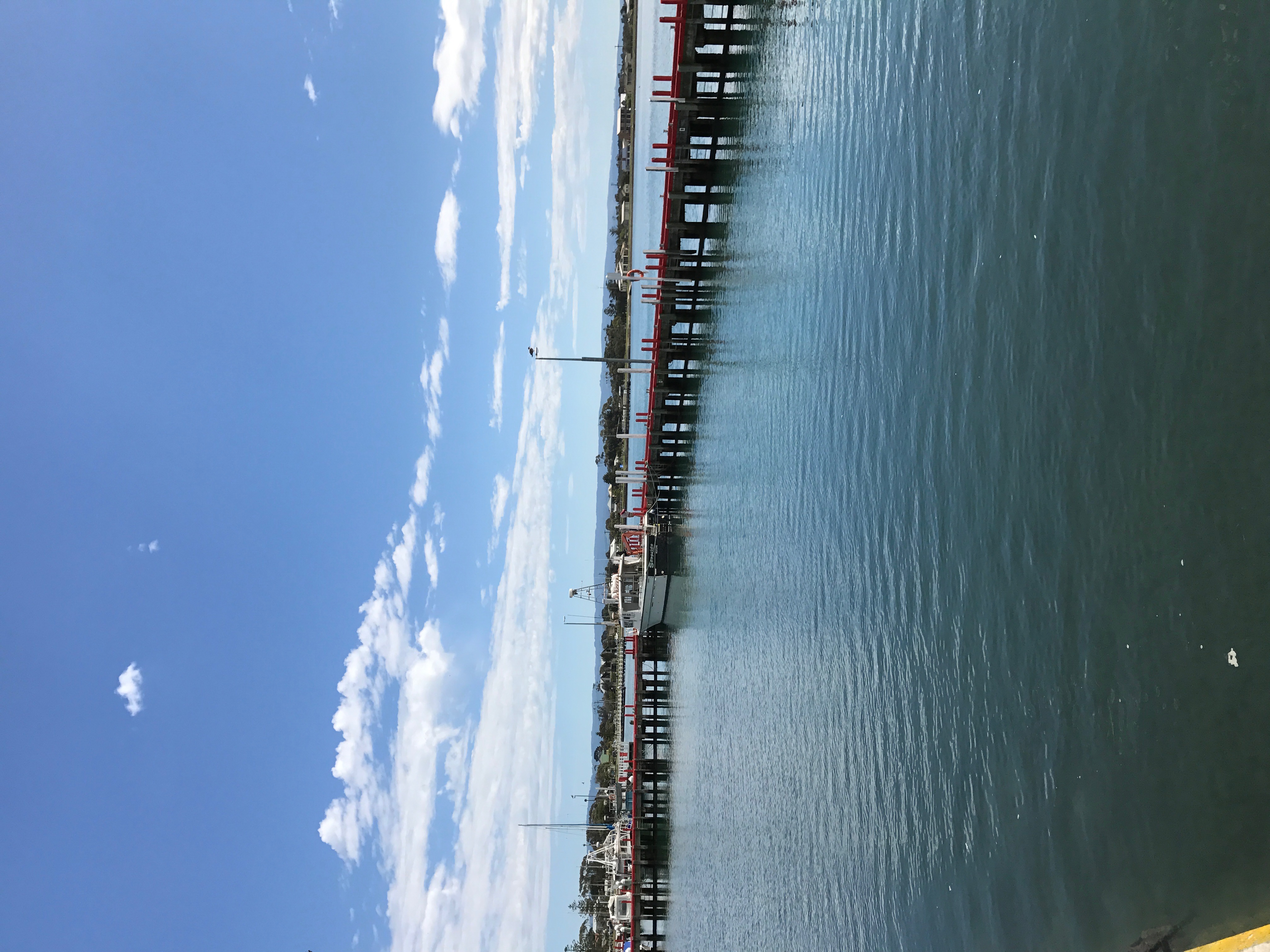
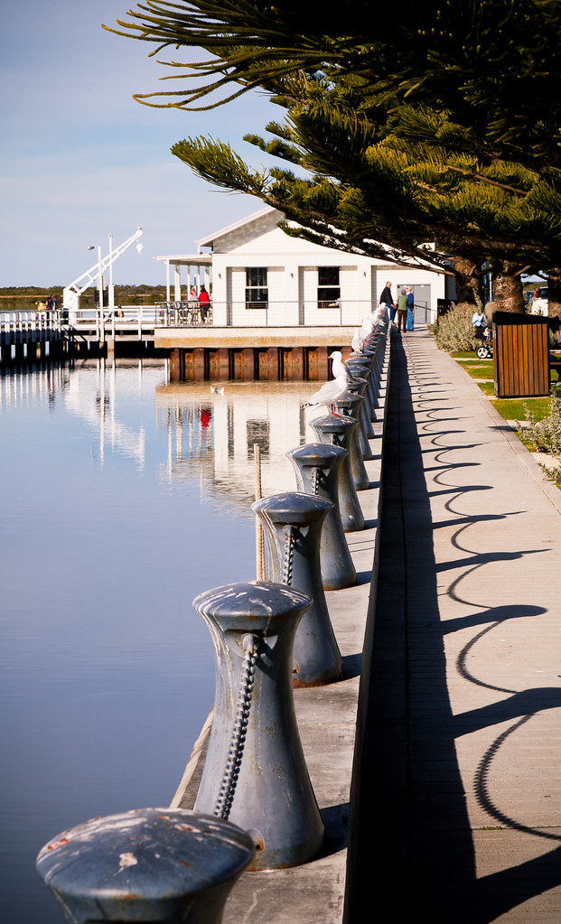
Jetty, Port Albert

Port Albert
Topographic Map of Alberton VIC, Australia
Find elevation by address:

Places near Alberton VIC, Australia:
Manns Beach
Fisher Street
21 Fisher St
794 Woorarra Rd
Woorarra East
8 Gowrie Rise
Woodside Beach
Panorama Drive
Panorama Drive
Toora North
115 Mount Best Tin Mine Rd
Churchill
Springrove
Latrobe City
Wilsons Promontory National Park
Yinnar
200 Vaggs Rd
Boolarra
Morwell
Holey Plains State Park
Recent Searches:
- Elevation map of Greenland, Greenland
- Elevation of Sullivan Hill, New York, New York, 10002, USA
- Elevation of Morehead Road, Withrow Downs, Charlotte, Mecklenburg County, North Carolina, 28262, USA
- Elevation of 2800, Morehead Road, Withrow Downs, Charlotte, Mecklenburg County, North Carolina, 28262, USA
- Elevation of Yangbi Yi Autonomous County, Yunnan, China
- Elevation of Pingpo, Yangbi Yi Autonomous County, Yunnan, China
- Elevation of Mount Malong, Pingpo, Yangbi Yi Autonomous County, Yunnan, China
- Elevation map of Yongping County, Yunnan, China
- Elevation of North 8th Street, Palatka, Putnam County, Florida, 32177, USA
- Elevation of 107, Big Apple Road, East Palatka, Putnam County, Florida, 32131, USA
- Elevation of Jiezi, Chongzhou City, Sichuan, China
- Elevation of Chongzhou City, Sichuan, China
- Elevation of Huaiyuan, Chongzhou City, Sichuan, China
- Elevation of Qingxia, Chengdu, Sichuan, China
- Elevation of Corso Fratelli Cairoli, 35, Macerata MC, Italy
- Elevation of Tallevast Rd, Sarasota, FL, USA
- Elevation of 4th St E, Sonoma, CA, USA
- Elevation of Black Hollow Rd, Pennsdale, PA, USA
- Elevation of Oakland Ave, Williamsport, PA, USA
- Elevation of Pedrógão Grande, Portugal