Elevation of Holey Plains State Park, Longford VIC, Australia
Location: Australia > Victoria > Longford >
Longitude: 146.932353
Latitude: -38.223843
Elevation: 141m / 463feet
Barometric Pressure: 100KPa
Elevation Map:
Satellite Map:
Related Photos:
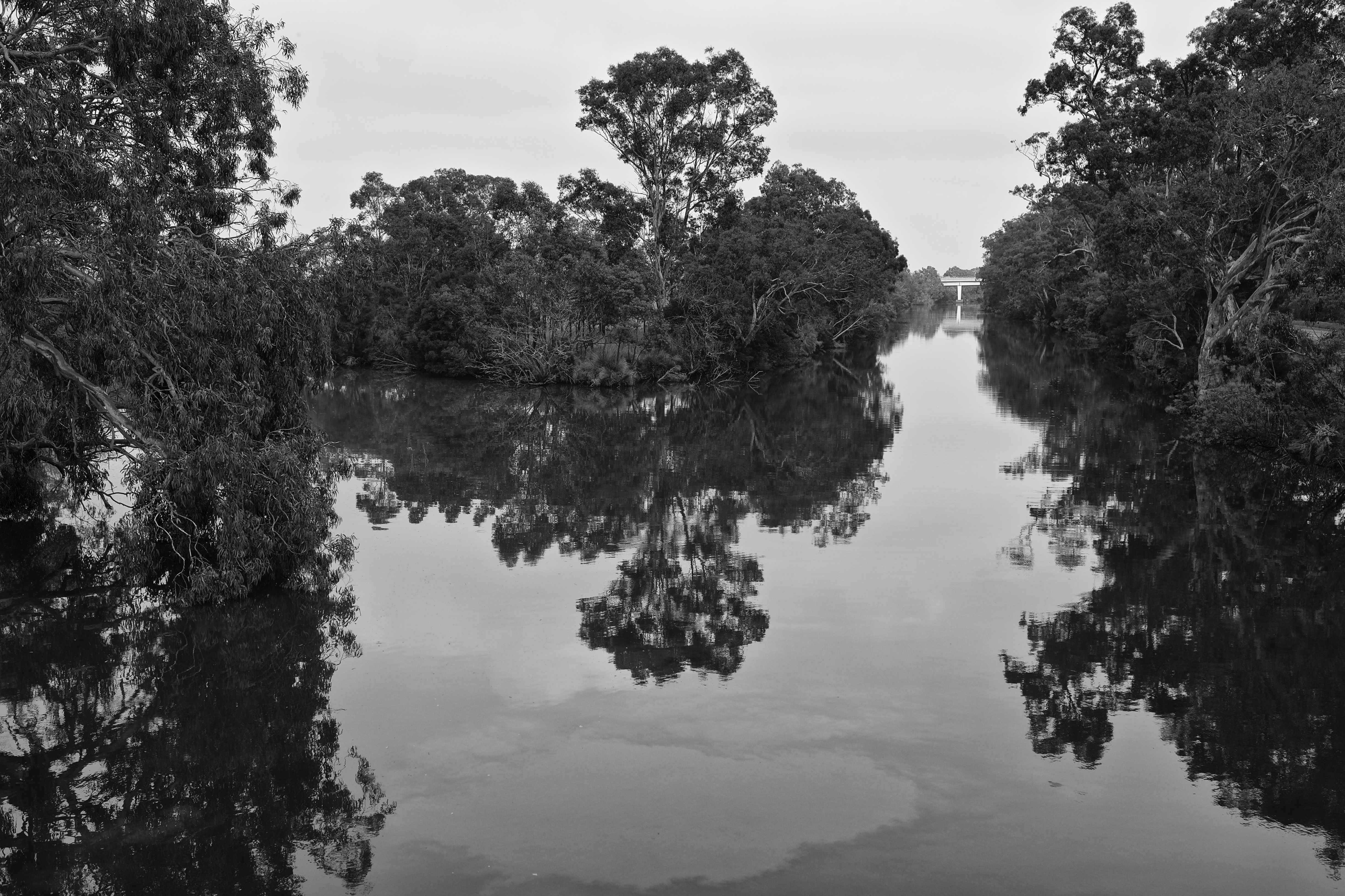
'View from the swing bridge, Sale'
Topographic Map of Holey Plains State Park, Longford VIC, Australia
Find elevation by address:

Places near Holey Plains State Park, Longford VIC, Australia:
Springrove
175 Boggy Creek Rd
Rosedale
Longford
108 Zacher Rd
Dundas Street
Sale
1 Krista Ct
Garretts Road
Wellington Shire
Seaspray
Woodside Beach
Panorama Drive
Panorama Drive
8 Gowrie Rise
Lake Reeve
Golden Beach
21 Fisher St
Fisher Street
59 Golden Beach Dr
Recent Searches:
- Elevation of Corso Fratelli Cairoli, 35, Macerata MC, Italy
- Elevation of Tallevast Rd, Sarasota, FL, USA
- Elevation of 4th St E, Sonoma, CA, USA
- Elevation of Black Hollow Rd, Pennsdale, PA, USA
- Elevation of Oakland Ave, Williamsport, PA, USA
- Elevation of Pedrógão Grande, Portugal
- Elevation of Klee Dr, Martinsburg, WV, USA
- Elevation of Via Roma, Pieranica CR, Italy
- Elevation of Tavkvetili Mountain, Georgia
- Elevation of Hartfords Bluff Cir, Mt Pleasant, SC, USA