Elevation of Roscoe, NY, USA
Location: United States > New York > Sullivan County > Rockland > Roscoe >
Longitude: -74.944258
Latitude: 41.9644758
Elevation: -10000m / -32808feet
Barometric Pressure: 295KPa
Elevation Map:
Satellite Map:
Related Photos:

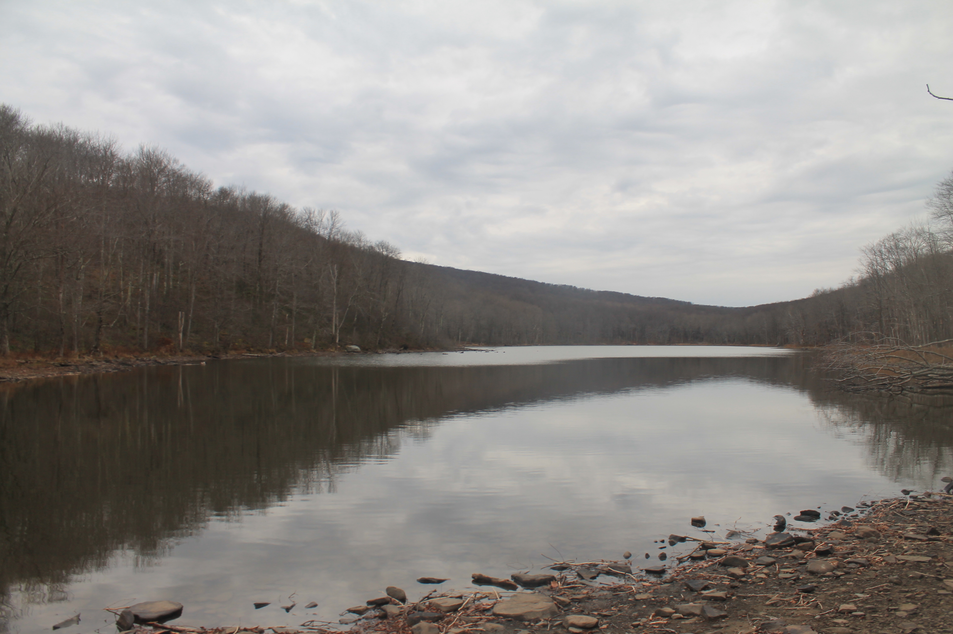
Lake view

Roscoe, NY.

View from Mary Smith Trail
#fujifilmx100f #fujixseries #fujix100f #fujixclub #fujifilmx_us #x100f #catskills #catskillmountains
HV-1412.jpg

Dundas Castle

Country View, state of NY

up the down staircase

Lake view

Country View, state of NY
View of kitchen form dining room
View from living room into kitchen

View of living room from stairs
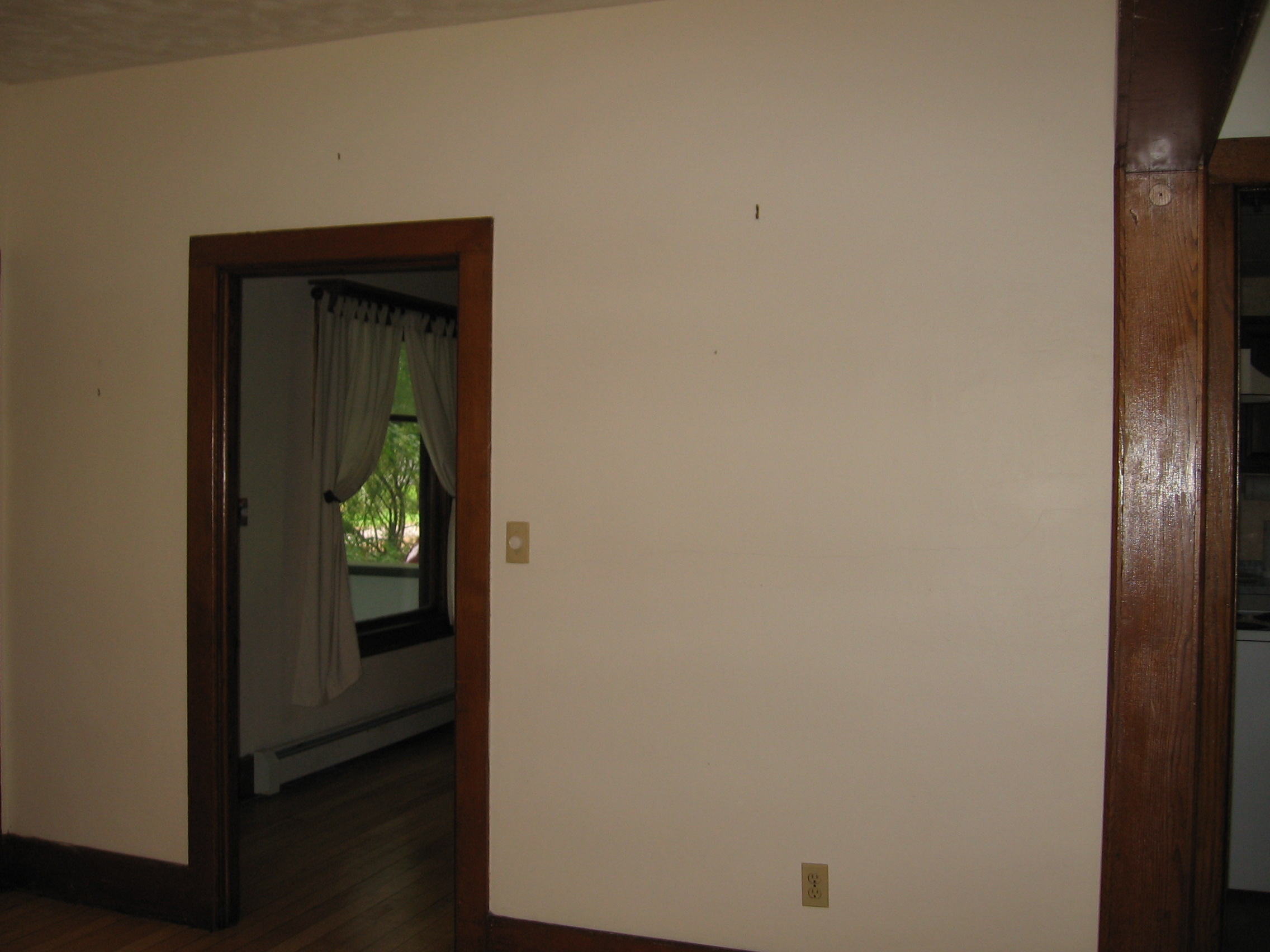
View from living room into dining room

Lake Shandelee

Fall Catskills, NY

American countryside in October - 2

Russell Brook Falls 2

Holiday Brook

DSCF6382.jpg

Sunrise over Peaceful Valley

Russell Brook Falls - Lower Falls

Boys Fishing 2
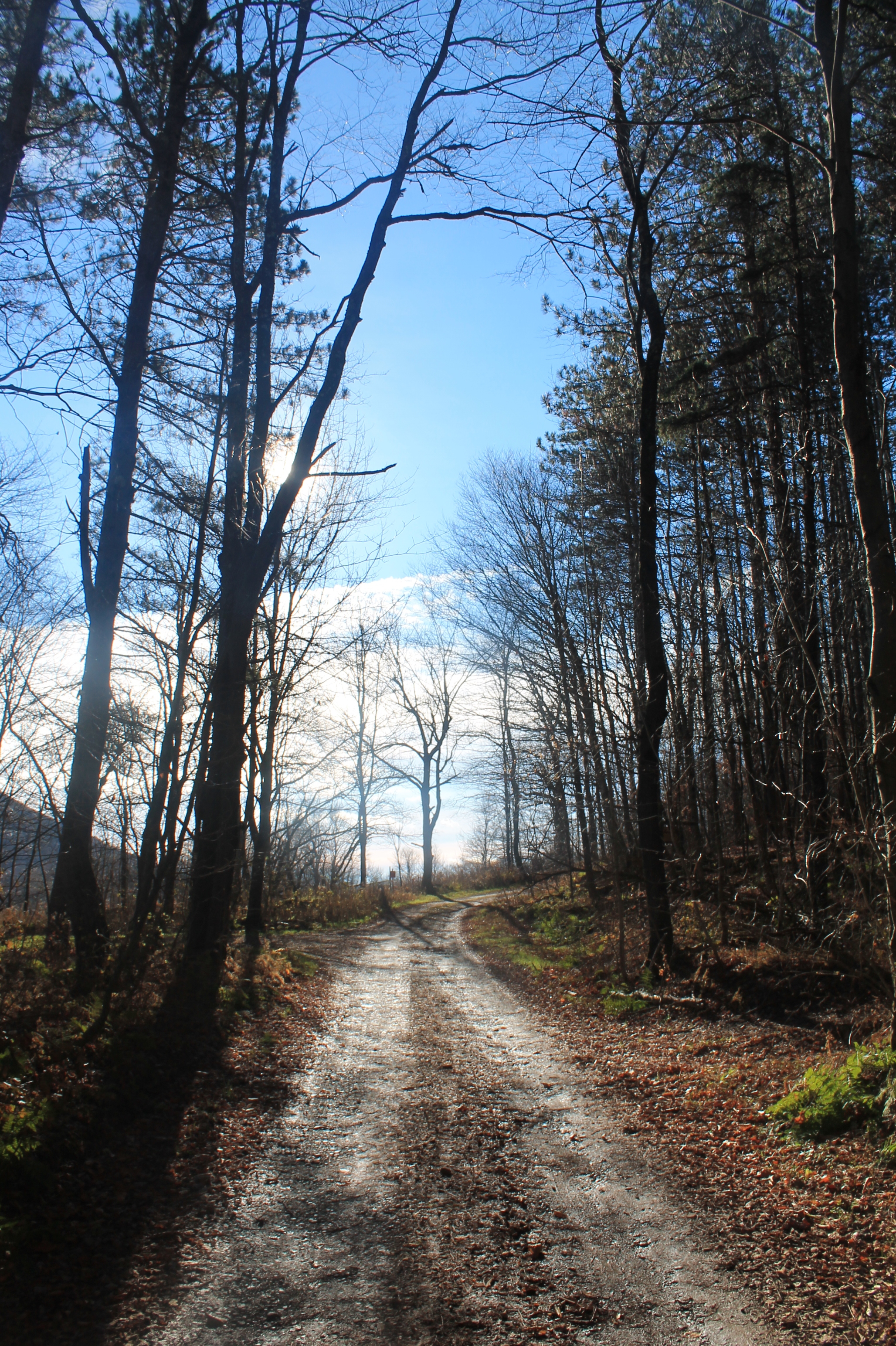
Mary Smith Road

CE9I0795.jpg

Mary Smith Road After the Rain Showers

Target Practice
Sun Rise

Kayaking on Amber Lake

IMG-20110723-00555.jpg

Second cascade
Trout Pond

CE9I0822.jpg
Topographic Map of Roscoe, NY, USA
Find elevation by address:

Places near Roscoe, NY, USA:
221 Rockland Rd
145 Rockland Rd
Mud Pond
321 Russell Brook Rd
41 Riverside Dr
Roscoe
46 Cooks Falls Rd, Roscoe, NY, USA
381 Ackerman Acres Rd
18839 County Rd 17
59 Yorktown Rd
6159 Ny-206
Crowley Rd, Roscoe, NY, USA
1469 Doyle Rd
17 Dee Dr
12 Dee Dr
132 Crowley Rd
1799 Chiloway Rd
Chiloway Rd, Roscoe, NY, USA
98 Hornung Rd
99 Bestenheider Rd
Recent Searches:
- Elevation of Corso Fratelli Cairoli, 35, Macerata MC, Italy
- Elevation of Tallevast Rd, Sarasota, FL, USA
- Elevation of 4th St E, Sonoma, CA, USA
- Elevation of Black Hollow Rd, Pennsdale, PA, USA
- Elevation of Oakland Ave, Williamsport, PA, USA
- Elevation of Pedrógão Grande, Portugal
- Elevation of Klee Dr, Martinsburg, WV, USA
- Elevation of Via Roma, Pieranica CR, Italy
- Elevation of Tavkvetili Mountain, Georgia
- Elevation of Hartfords Bluff Cir, Mt Pleasant, SC, USA