Elevation of Russell Brook Rd, Roscoe, NY, USA
Location: United States > New York > Sullivan County > Rockland > Roscoe >
Longitude: -74.987079
Latitude: 41.9640866
Elevation: 379m / 1243feet
Barometric Pressure: 97KPa
Elevation Map:
Satellite Map:
Related Photos:

Lake view

Beaver Kill Views

Beaver Kill Views

Lake view

View of living room from stairs
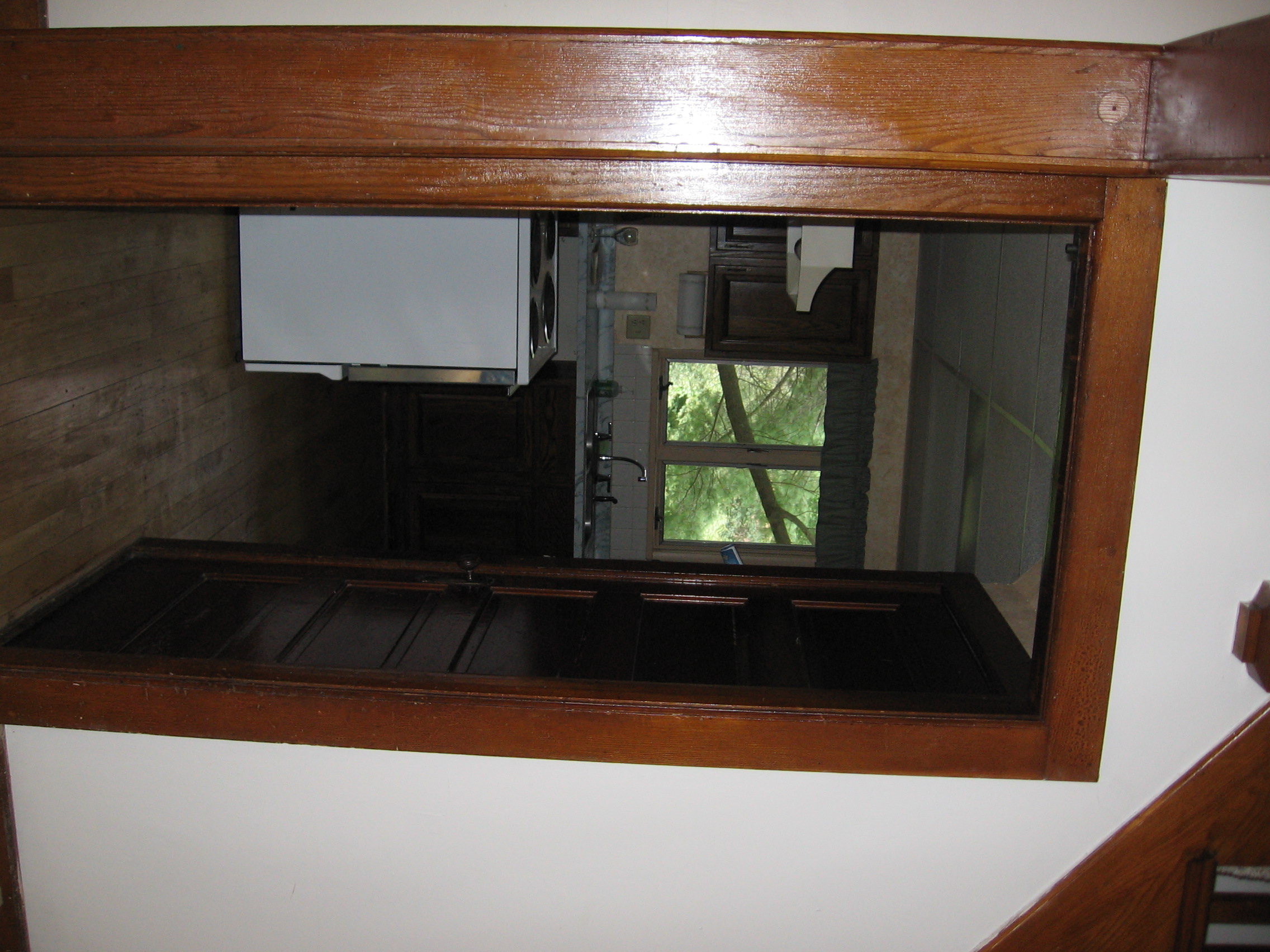
View from living room into kitchen
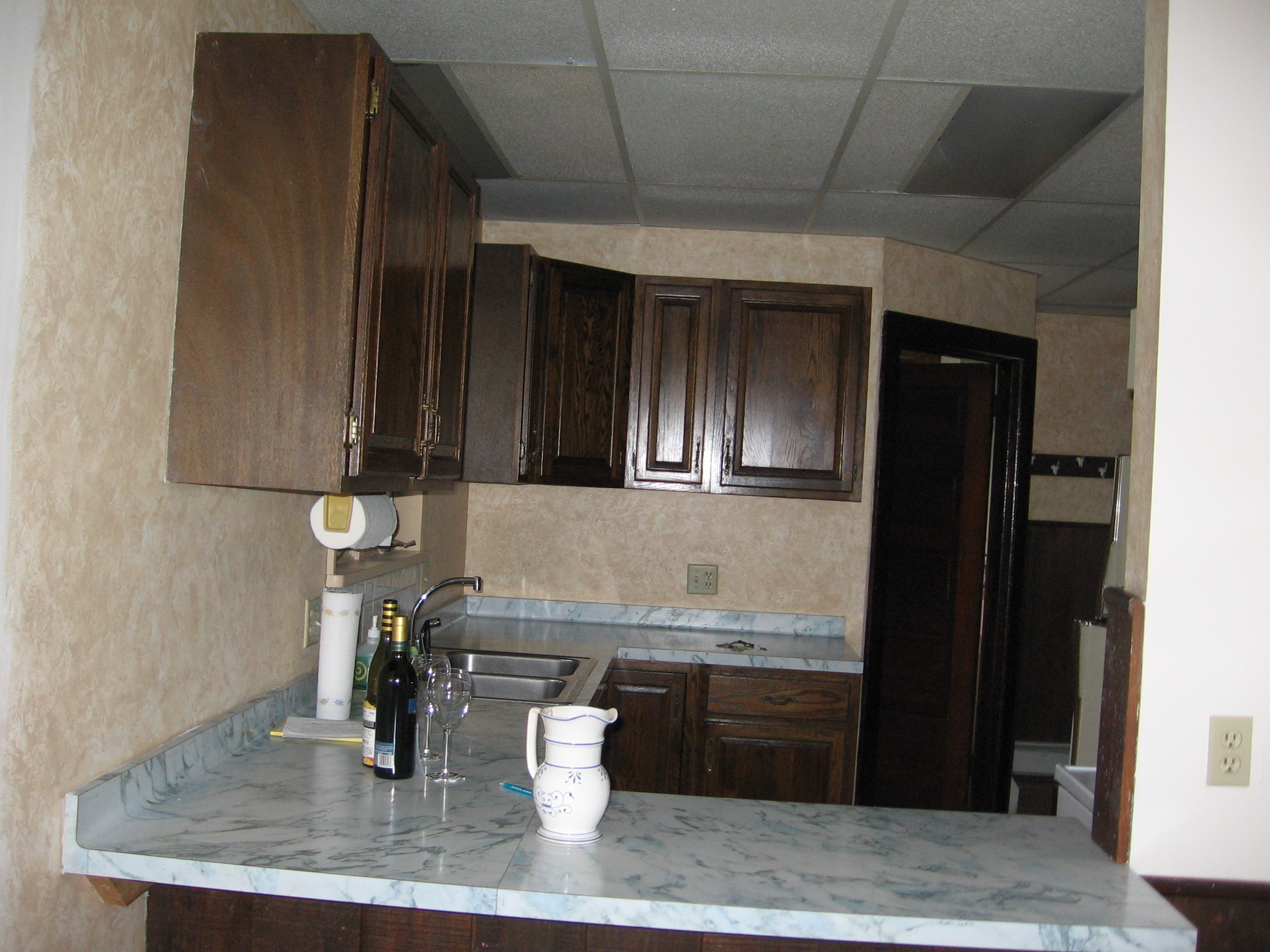
View of kitchen form dining room
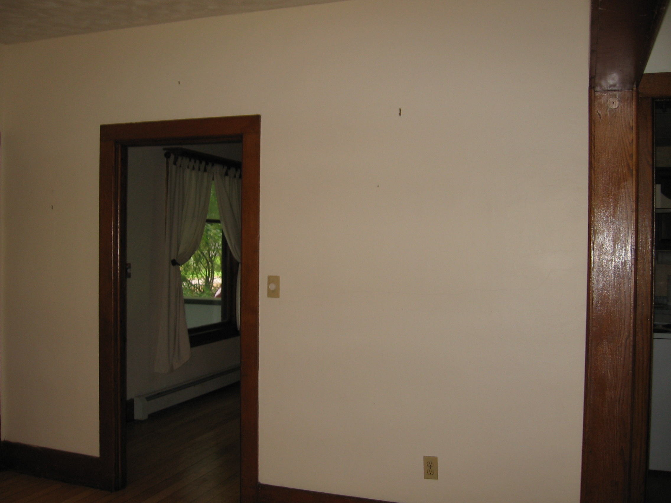
View from living room into dining room
#fujifilmx100f #fujixseries #fujix100f #fujixclub #fujifilmx_us #x100f #catskills #catskillmountains

Roscoe, NY.
HV-1412.jpg

Dundas Castle

up the down staircase
View Off Morton Hill

Country View, state of NY

Country View, state of NY

Russell Brook Falls 2

Boys Fishing 2
Rocks and Water

Russell Brook Falls - Lower Falls

Old Woods Road to Huggins Lake

Lake Shandelee, Livingston Manor, NY

Russell Brook Falls

Boondock Sky
Evening Sky Over The Manor

American countryside in October - 2

CE9I0795.jpg

Lake Shandelee

Railroad Bridge

Willowemoc Creek

CE9I0822.jpg
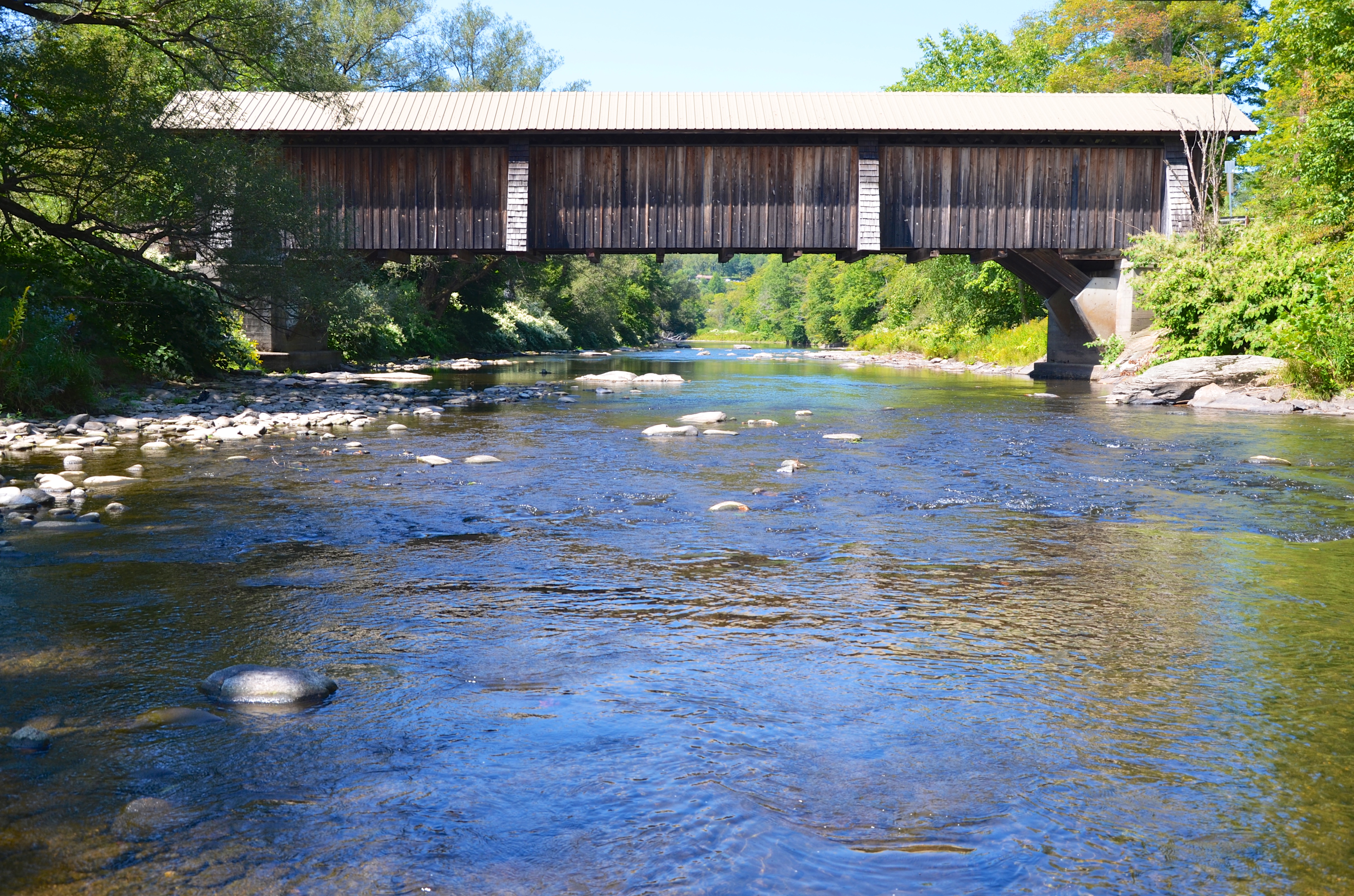
Livingston Manor Covered Bridge

Target Practice
Sun Rise
Topographic Map of Russell Brook Rd, Roscoe, NY, USA
Find elevation by address:

Places near Russell Brook Rd, Roscoe, NY, USA:
46 Cooks Falls Rd, Roscoe, NY, USA
18839 County Rd 17
Mud Pond
Roscoe, NY, USA
1469 Doyle Rd
1799 Chiloway Rd
Chiloway Rd, Roscoe, NY, USA
12 Dee Dr
17 Dee Dr
Crowley Rd, Roscoe, NY, USA
145 Rockland Rd
41 Riverside Dr
221 Rockland Rd
Roscoe
132 Crowley Rd
59 Yorktown Rd
381 Ackerman Acres Rd
County Road 93
6159 Ny-206
99 Bestenheider Rd
Recent Searches:
- Elevation of Corso Fratelli Cairoli, 35, Macerata MC, Italy
- Elevation of Tallevast Rd, Sarasota, FL, USA
- Elevation of 4th St E, Sonoma, CA, USA
- Elevation of Black Hollow Rd, Pennsdale, PA, USA
- Elevation of Oakland Ave, Williamsport, PA, USA
- Elevation of Pedrógão Grande, Portugal
- Elevation of Klee Dr, Martinsburg, WV, USA
- Elevation of Via Roma, Pieranica CR, Italy
- Elevation of Tavkvetili Mountain, Georgia
- Elevation of Hartfords Bluff Cir, Mt Pleasant, SC, USA