Elevation of Ackerman Acres Rd, Roscoe, NY, USA
Location: United States > New York > Sullivan County > Rockland > Roscoe >
Longitude: -74.899008
Latitude: 41.982603
Elevation: 509m / 1670feet
Barometric Pressure: 95KPa
Elevation Map:
Satellite Map:
Related Photos:

#fujifilmx100f #fujixseries #fujix100f #fujixclub #fujifilmx_us #x100f #catskills #catskillmountains
HV-1412.jpg
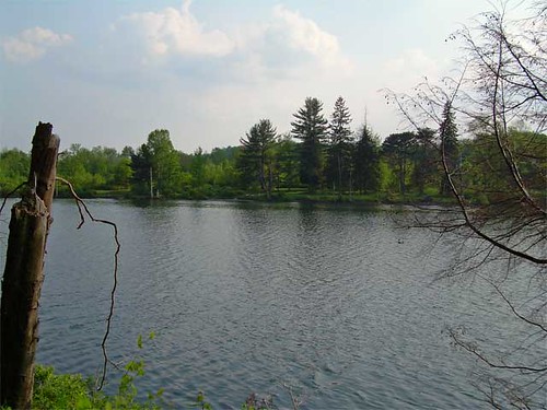
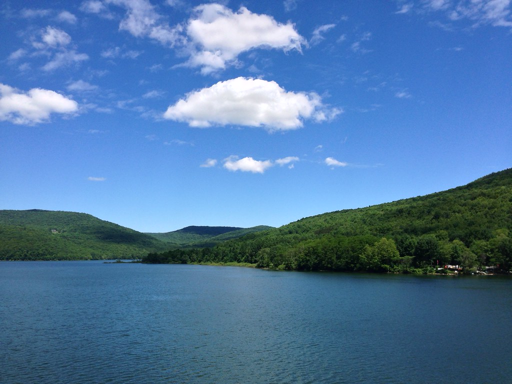
Lake view
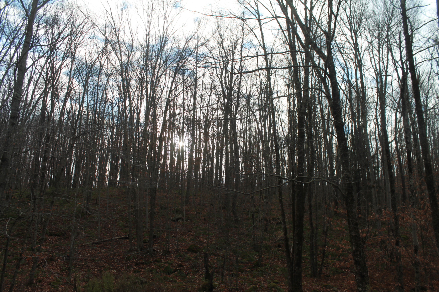
Shavertown Trail
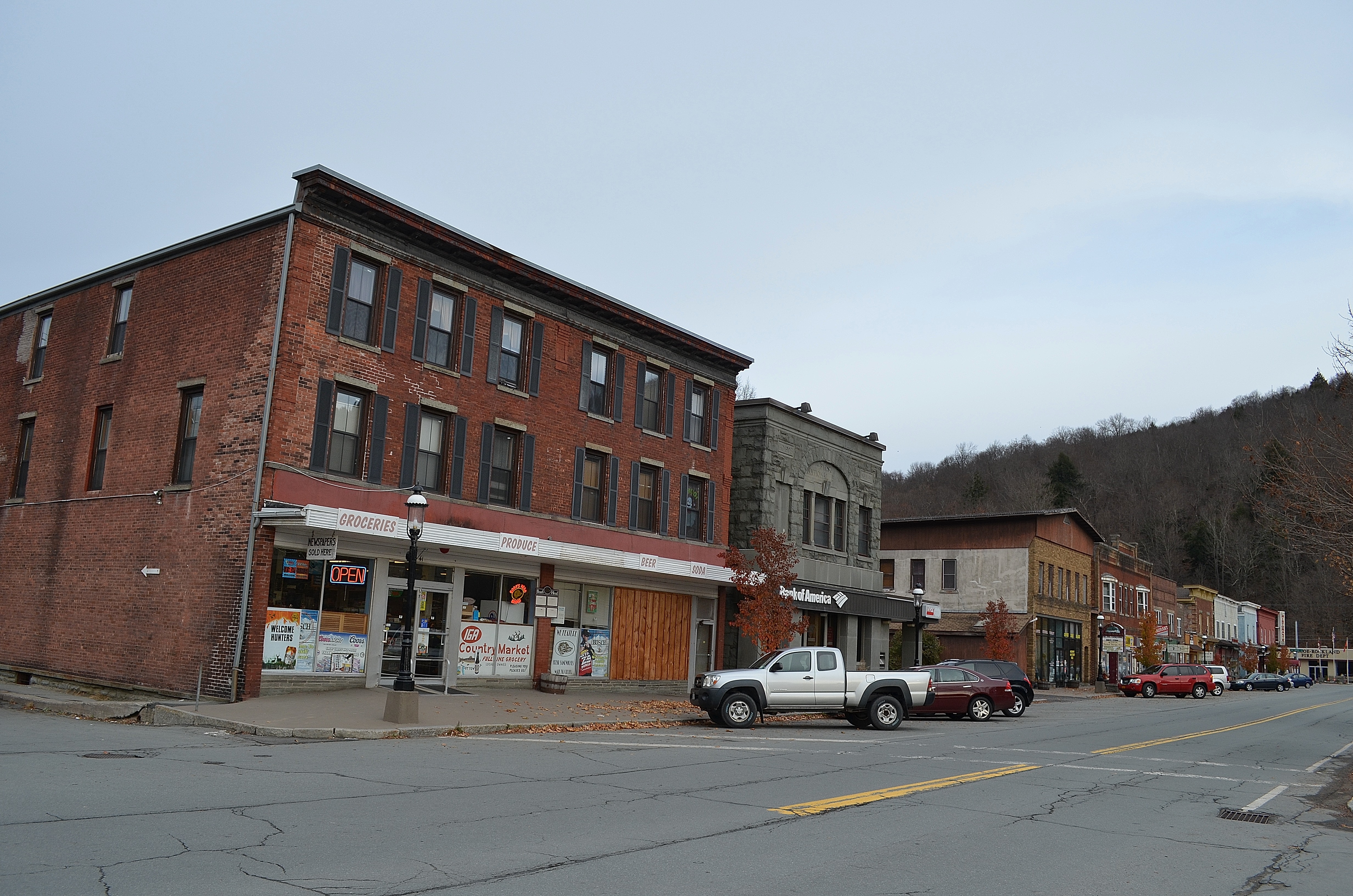
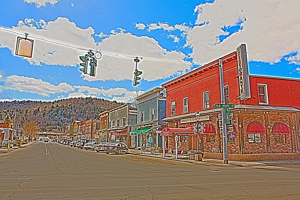
Roscoe, NY.
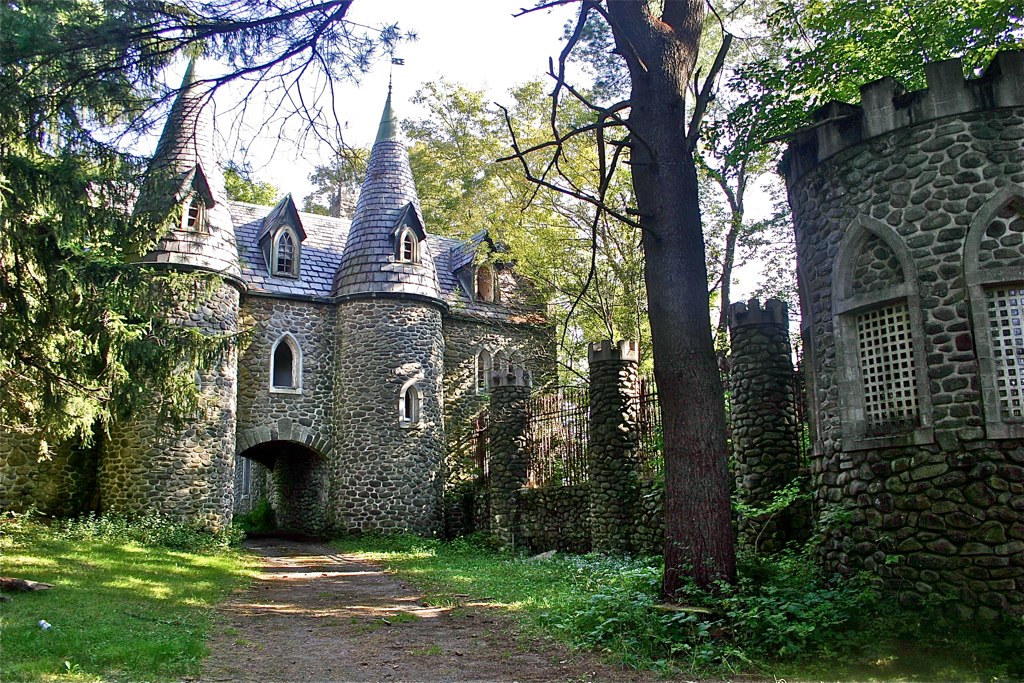
Dundas Castle
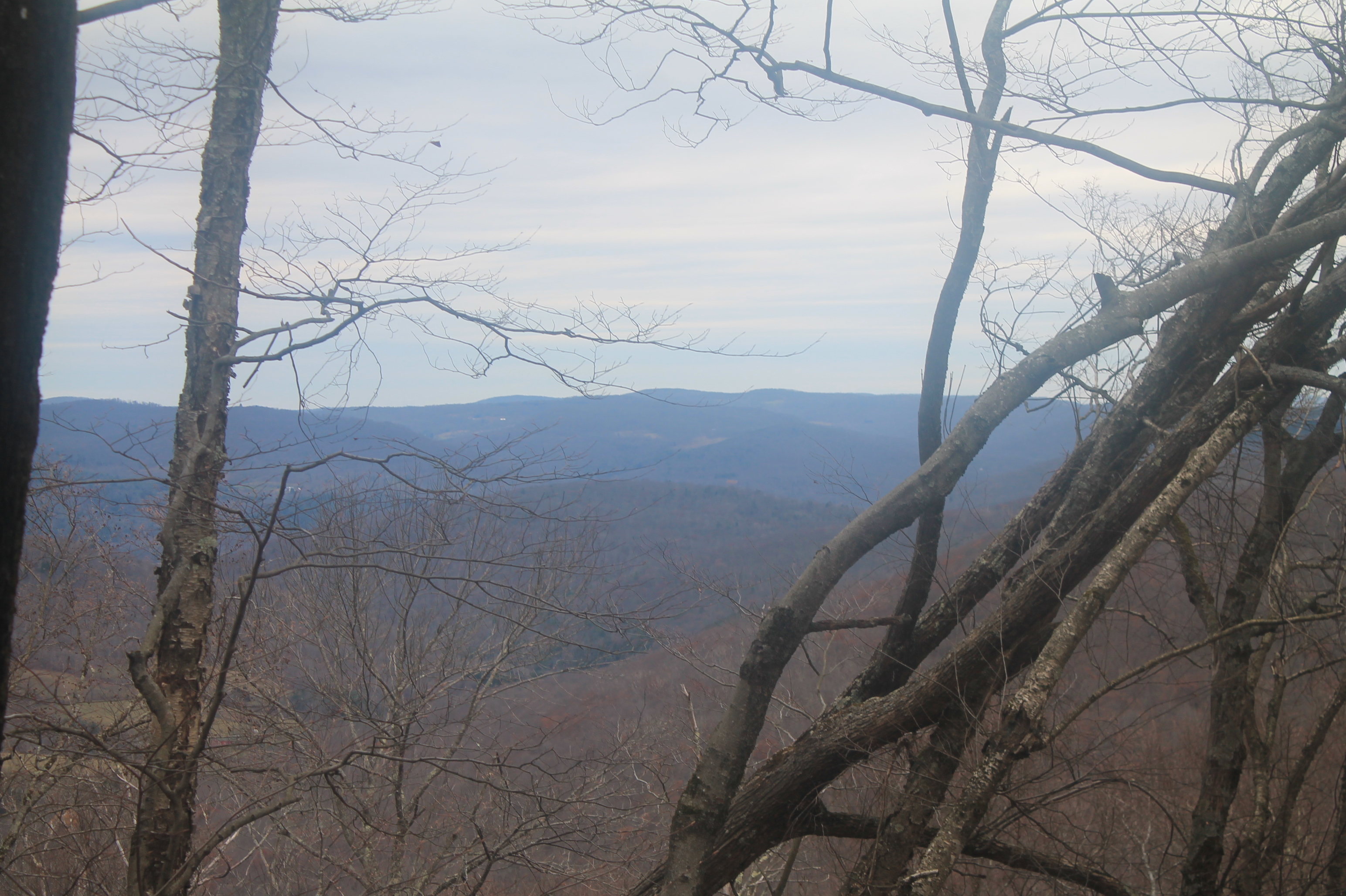
View from Mary Smith Trail
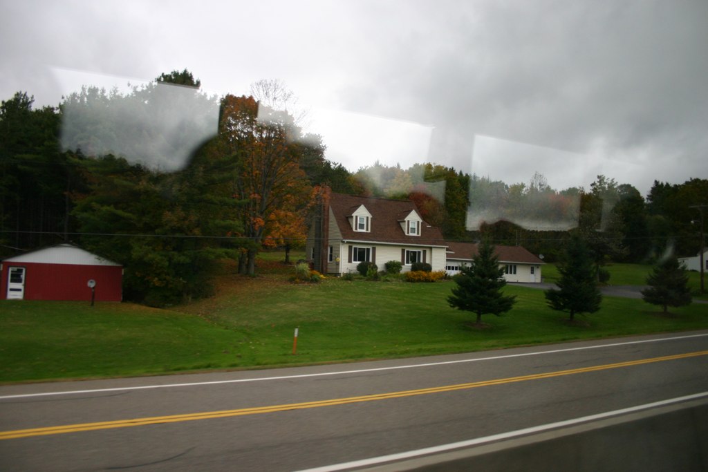
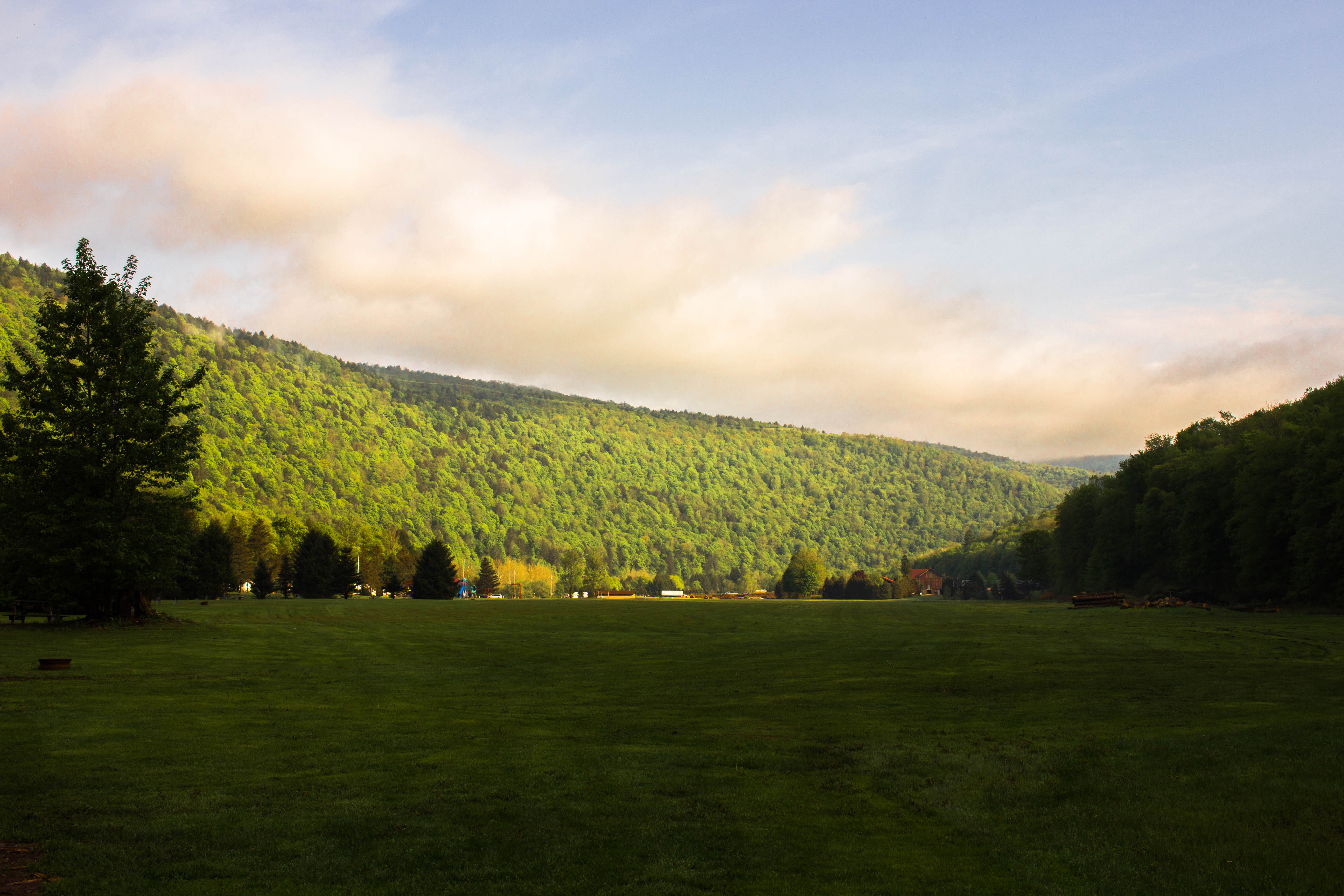
Country View, state of NY

up the down staircase
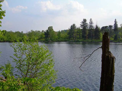
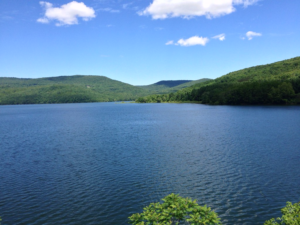
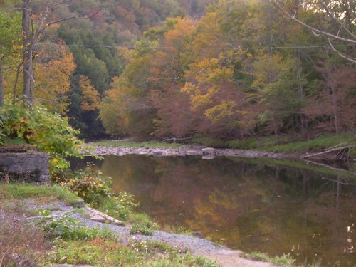
Lake view
Country View, state of NY

Sunset after rain
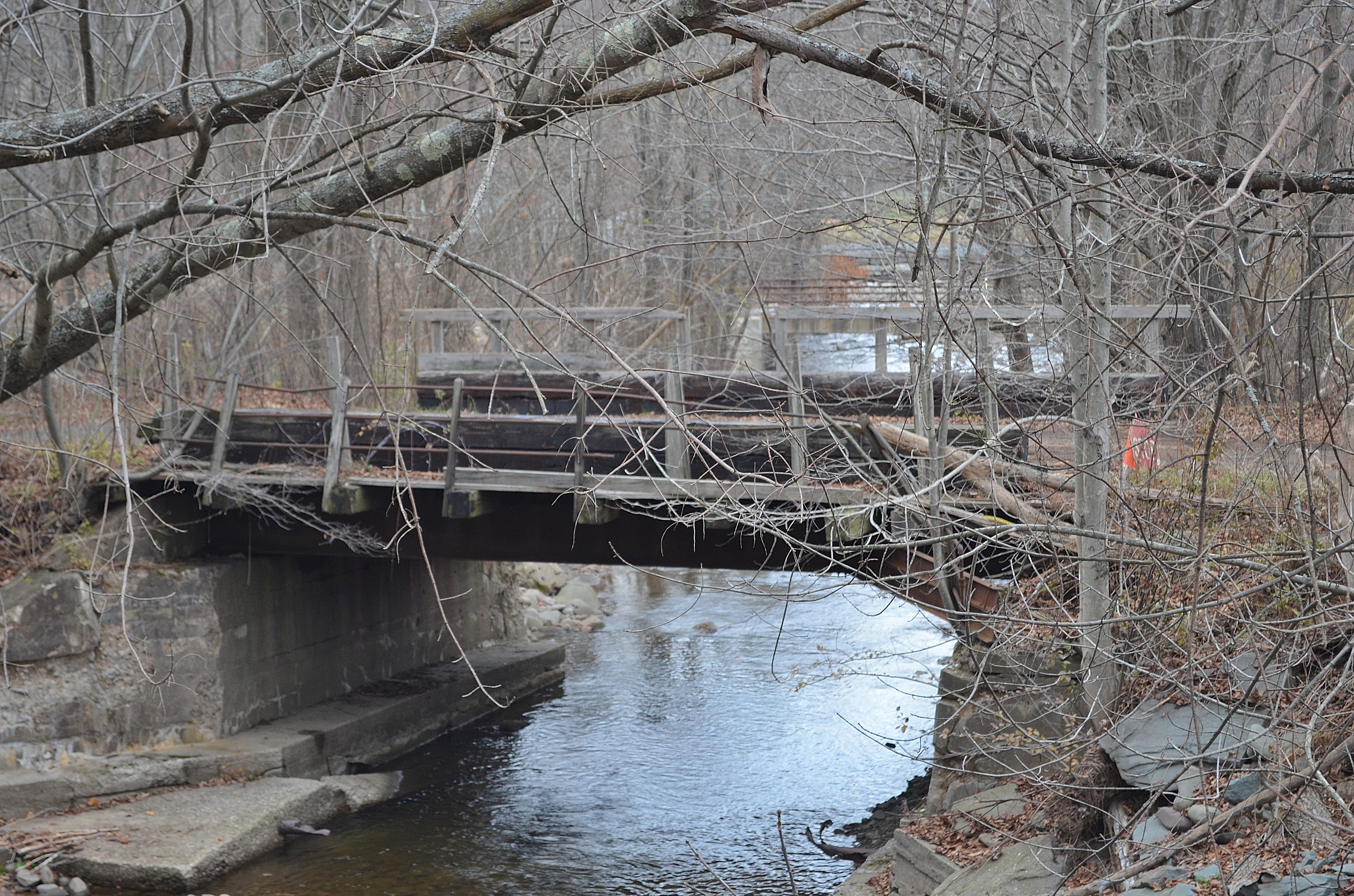
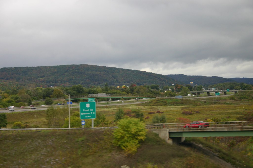
Railroad Bridge

Kayaking on Amber Lake

Beaverkill Covered Bridge

Lake Shandelee
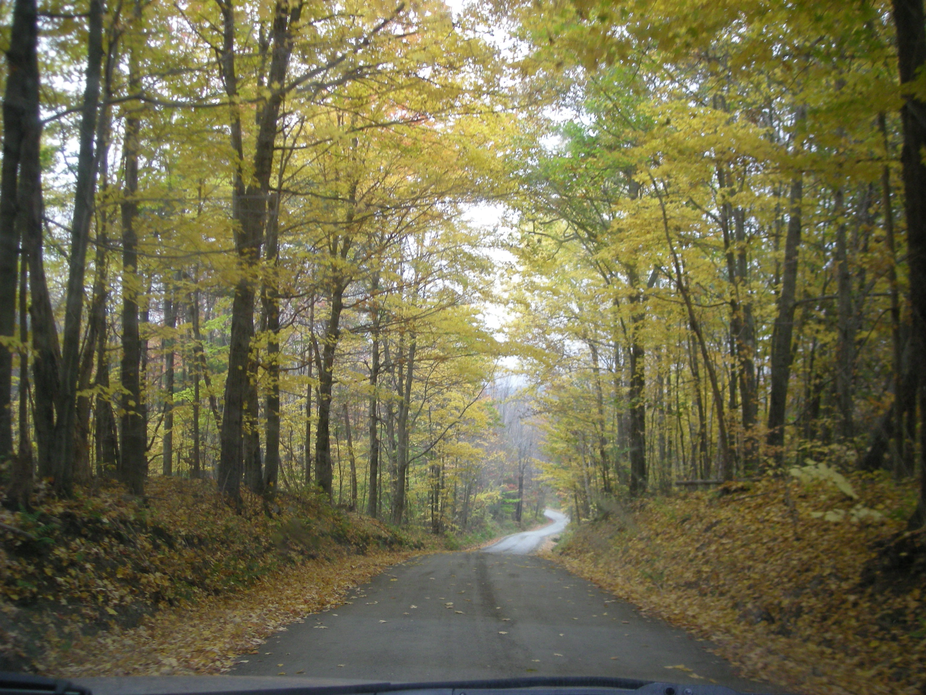
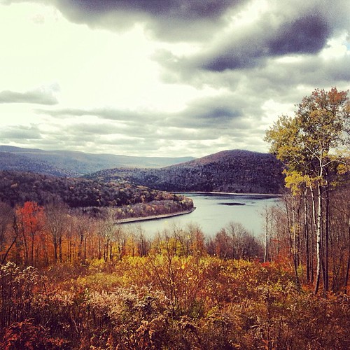
Fall Catskills, NY
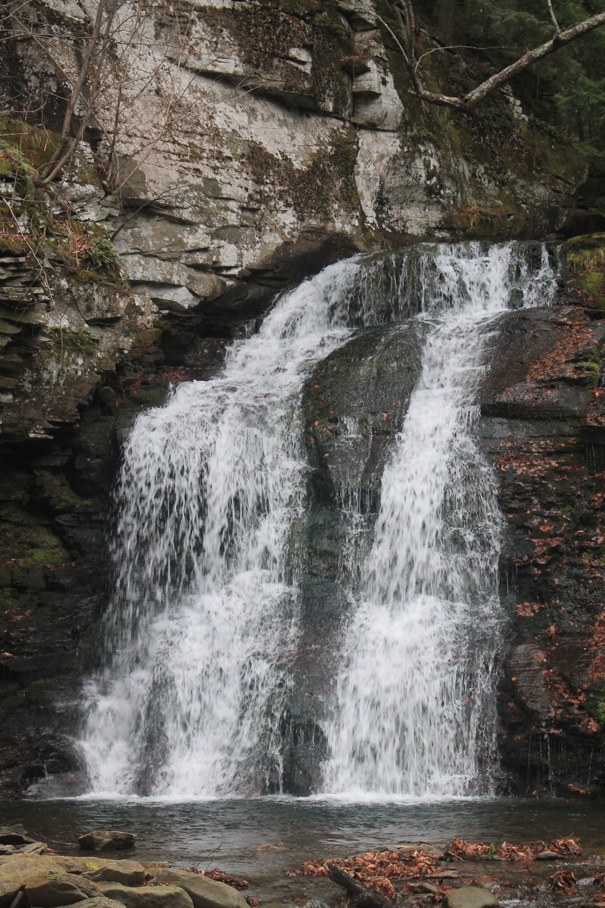
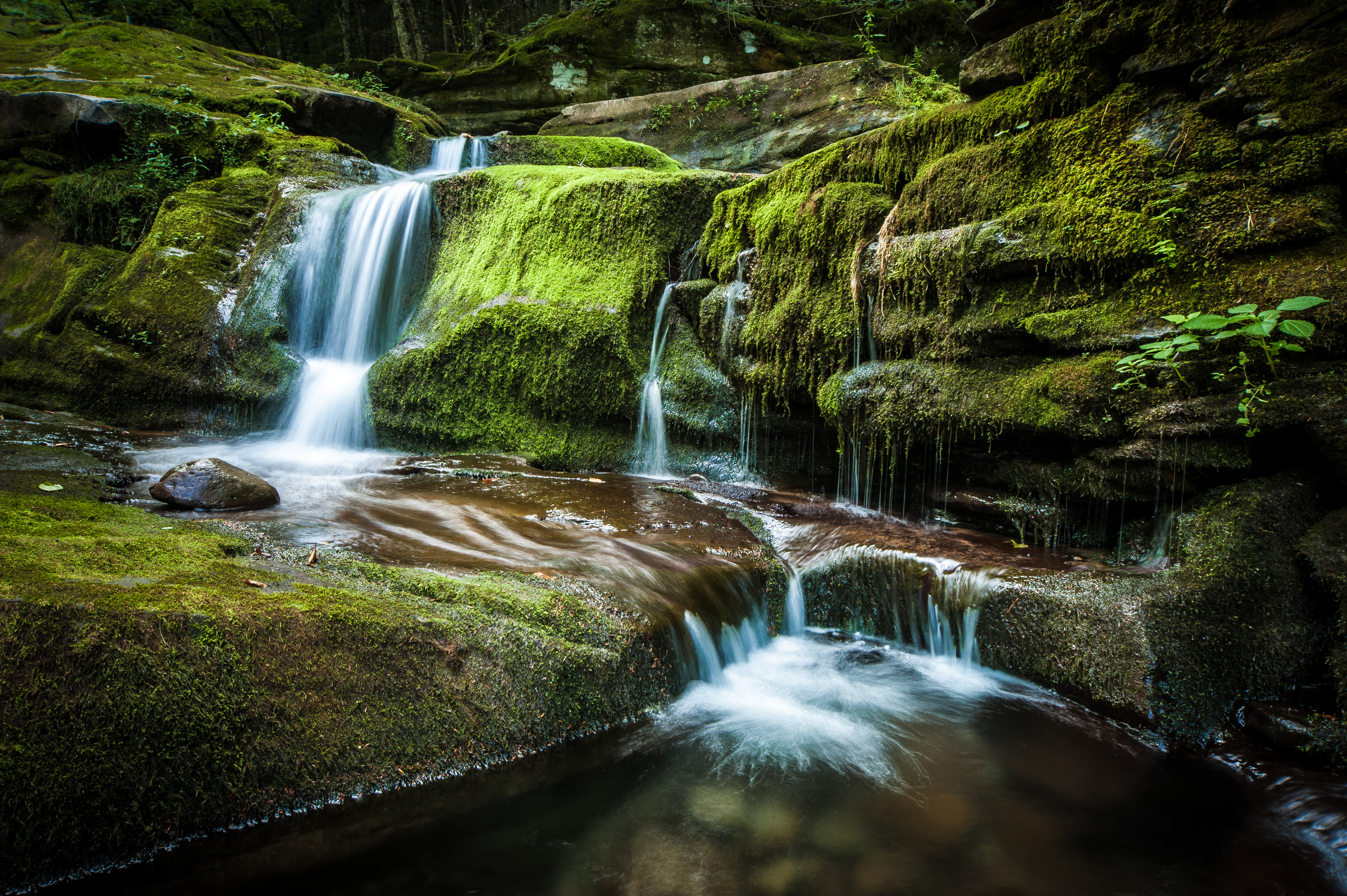
Russell Brook Falls 2
2014-06-21 11.53.59
Thompkins Falls, Andes, NY
Sunrise over Peaceful Valley
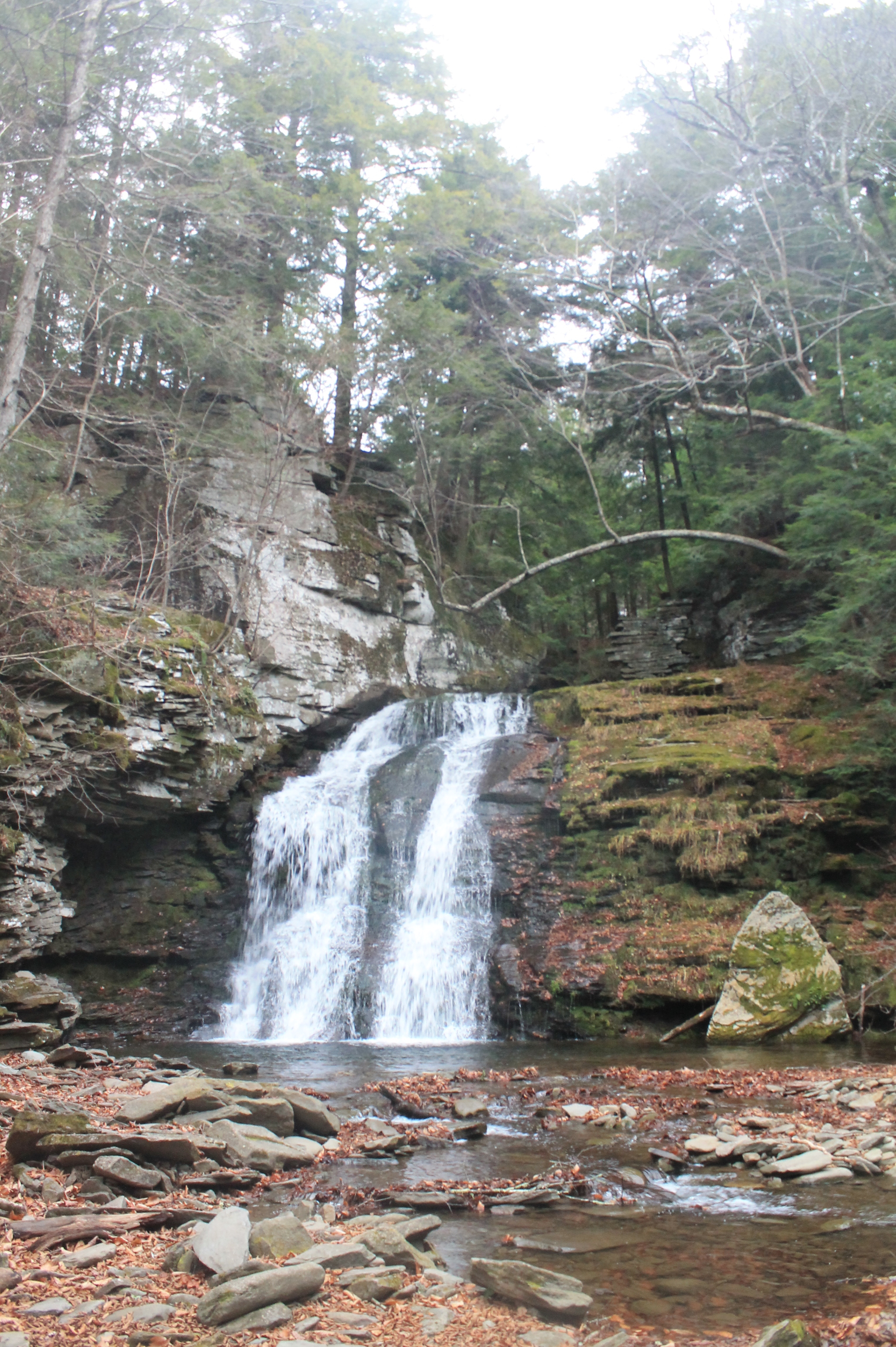
Russell Brook Falls - Lower Falls
Hazel bridge pool
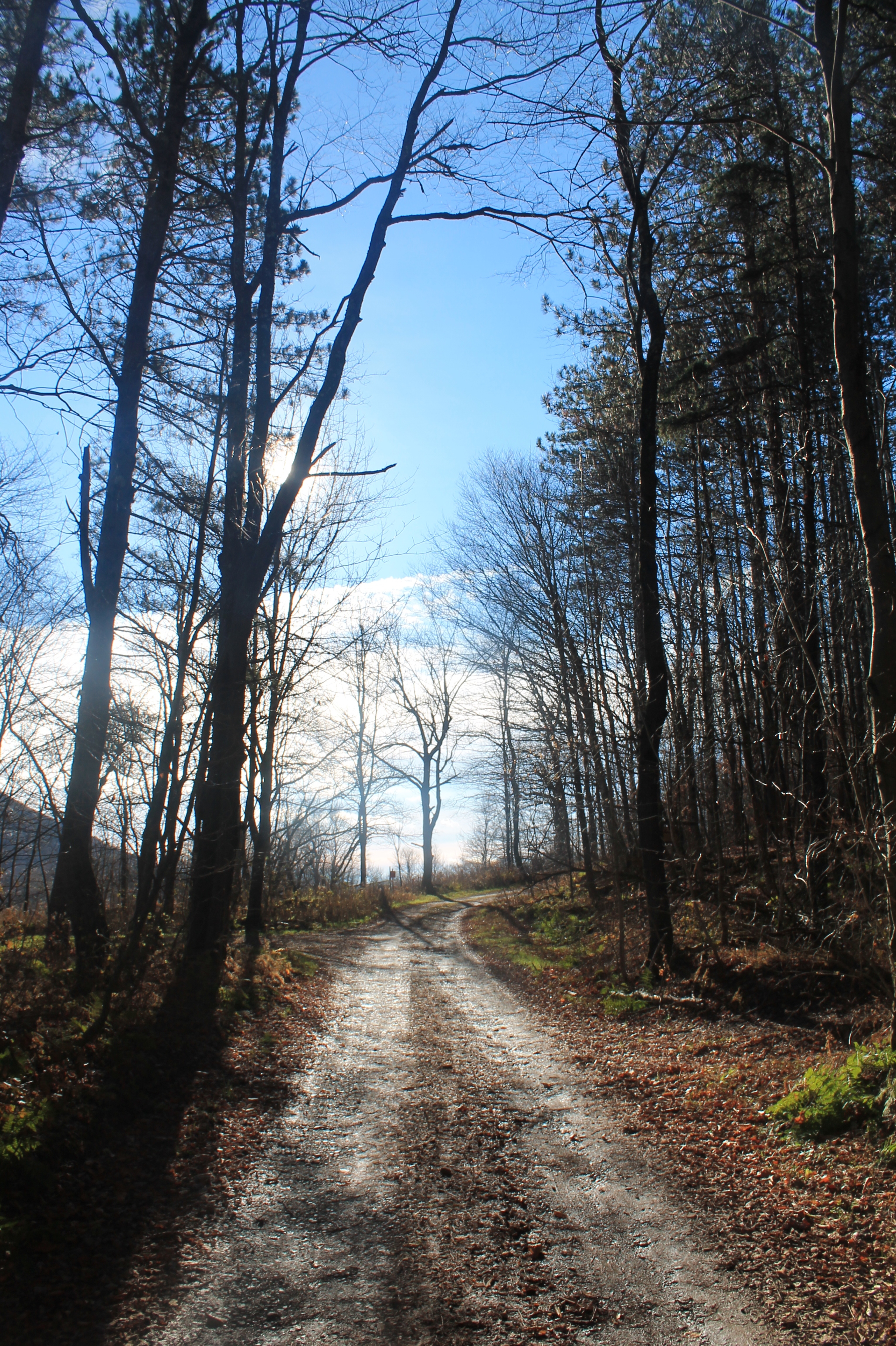
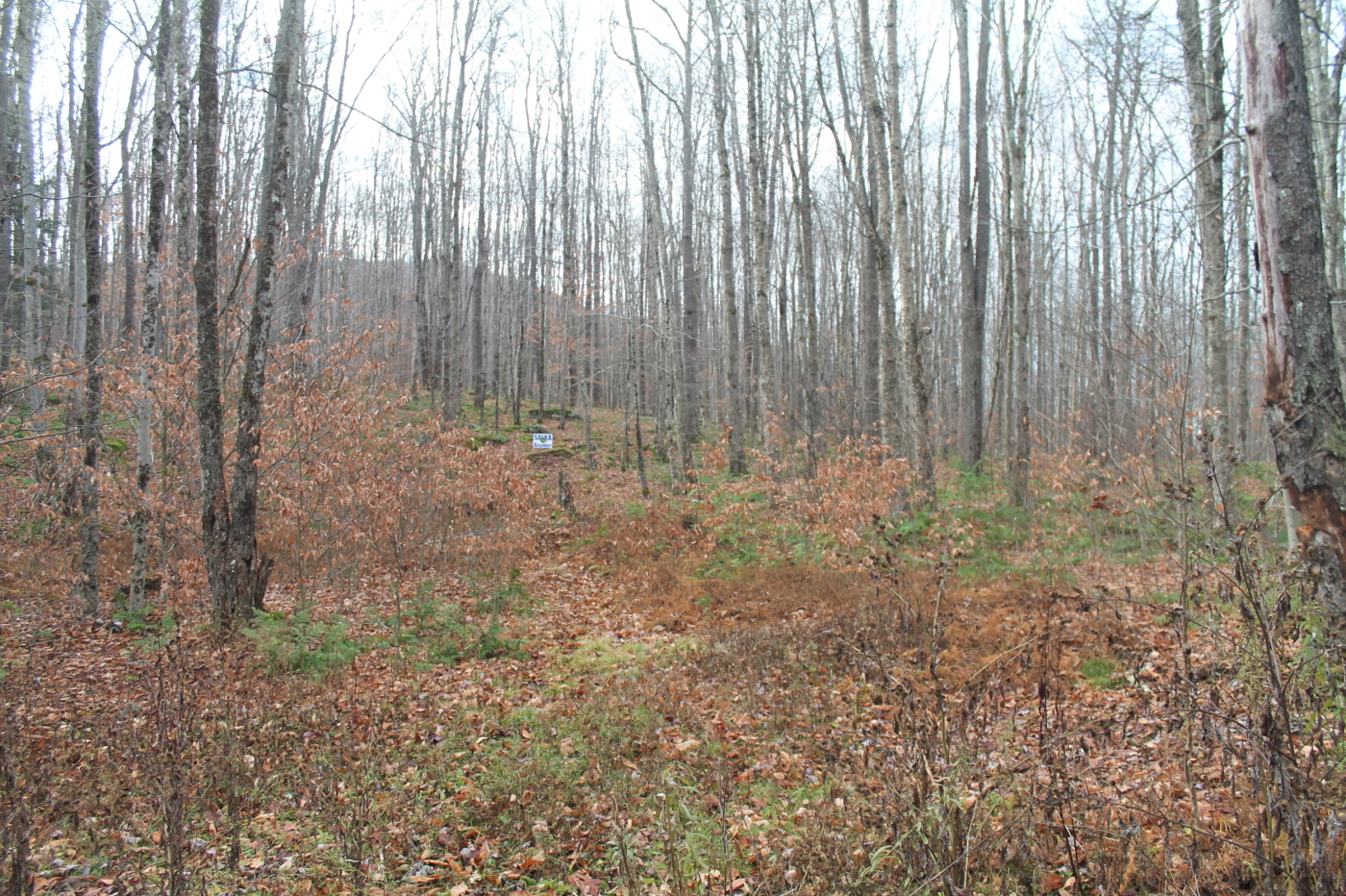
Mary Smith Road
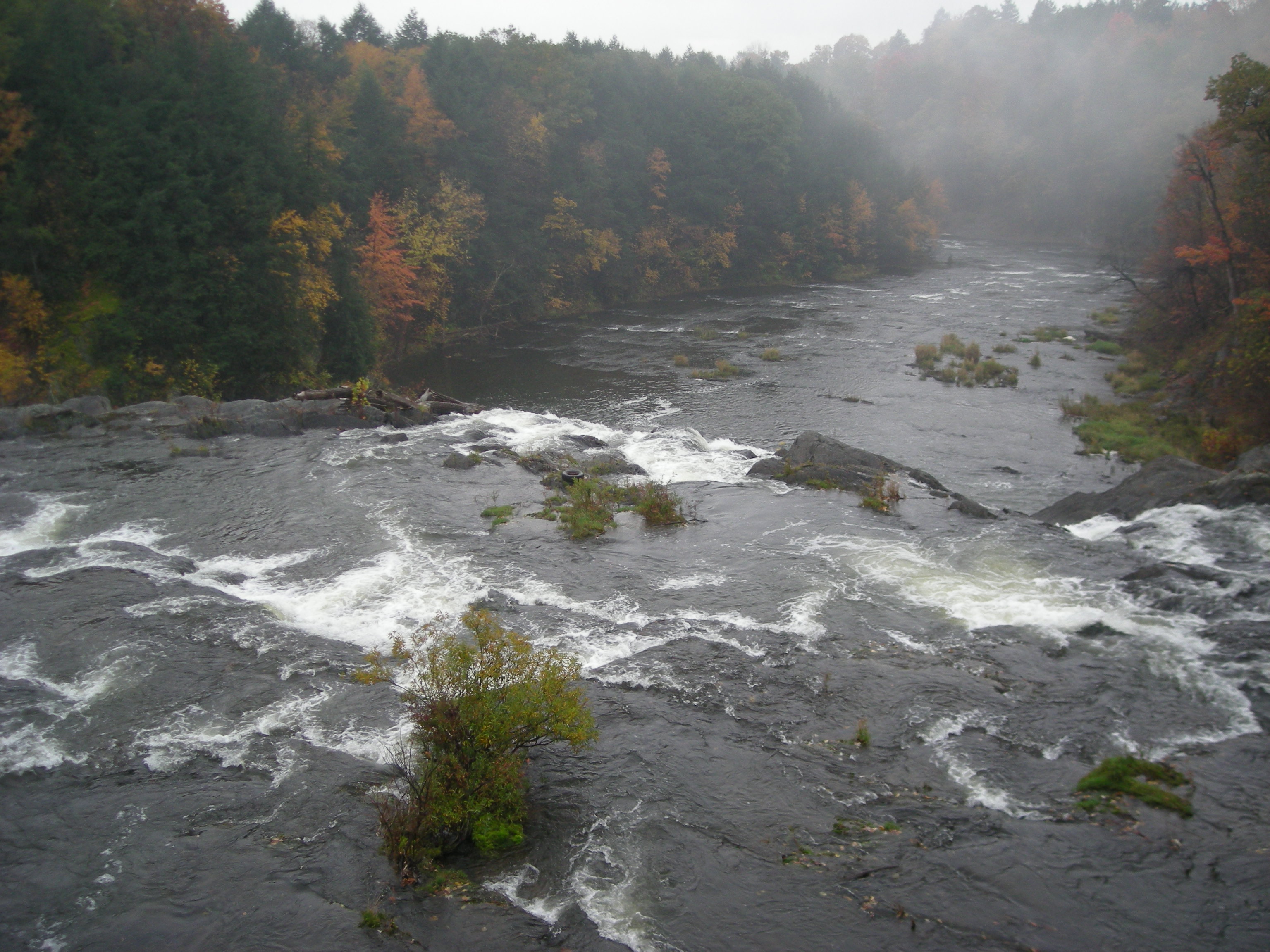
Beaverkill River, Cooks Falls, NY
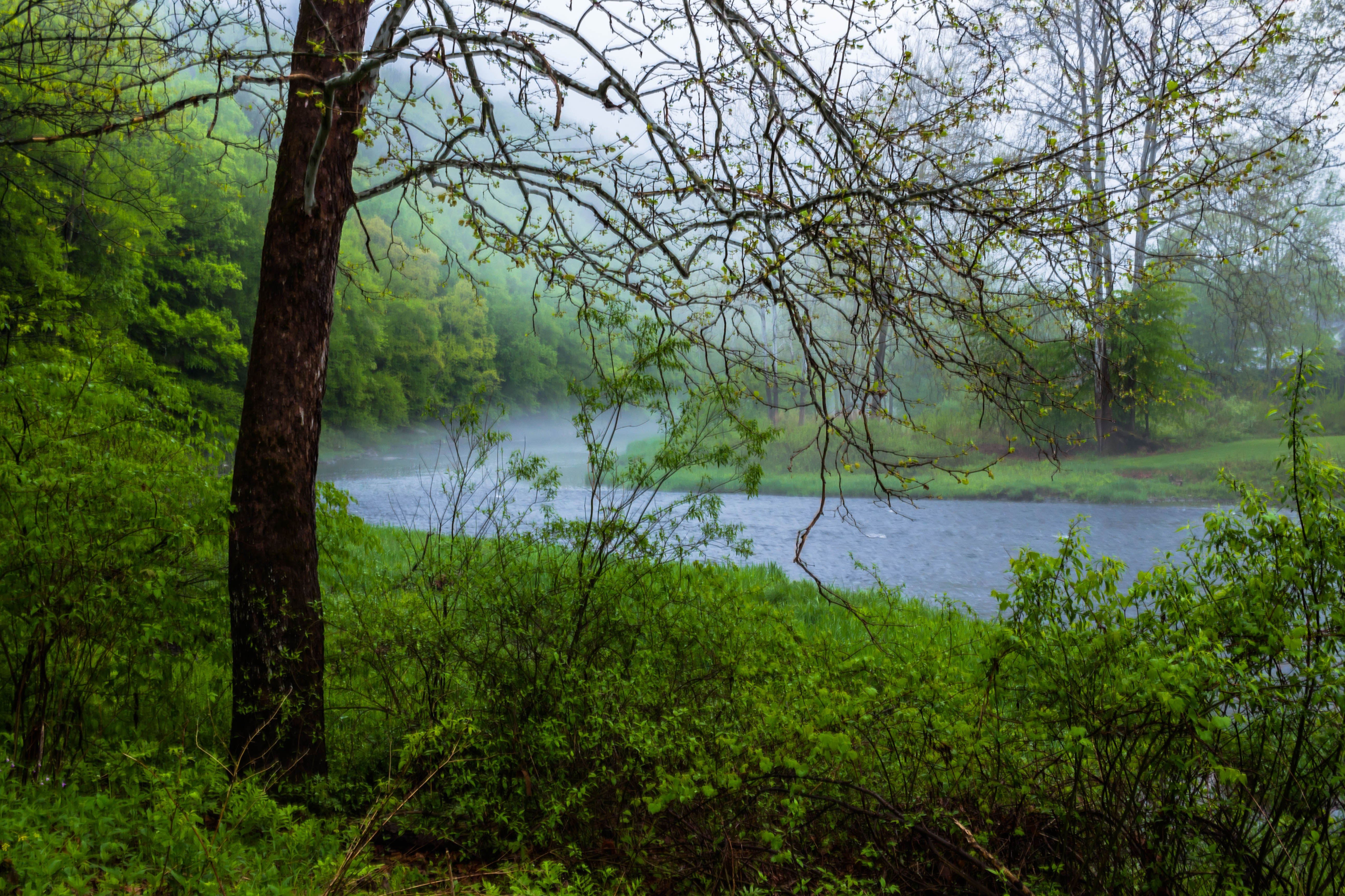
East Branch of the Delaware

CE9I0795.jpg
2014-06-21 11.53.27
Sun Rise
Target Practice
Topographic Map of Ackerman Acres Rd, Roscoe, NY, USA
Find elevation by address:

Places near Ackerman Acres Rd, Roscoe, NY, USA:
6159 Ny-206
221 Rockland Rd
145 Rockland Rd
Roscoe, NY, USA
Roscoe
59 Yorktown Rd
41 Riverside Dr
Mud Pond
321 Russell Brook Rd
46 Cooks Falls Rd, Roscoe, NY, USA
18839 County Rd 17
Crowley Rd, Roscoe, NY, USA
36 Gilda Ln
731 Stump Pond Rd
8 Gilda Ln
132 Crowley Rd
17 Dee Dr
1469 Doyle Rd
12 Dee Dr
98 Hornung Rd
Recent Searches:
- Elevation of Corso Fratelli Cairoli, 35, Macerata MC, Italy
- Elevation of Tallevast Rd, Sarasota, FL, USA
- Elevation of 4th St E, Sonoma, CA, USA
- Elevation of Black Hollow Rd, Pennsdale, PA, USA
- Elevation of Oakland Ave, Williamsport, PA, USA
- Elevation of Pedrógão Grande, Portugal
- Elevation of Klee Dr, Martinsburg, WV, USA
- Elevation of Via Roma, Pieranica CR, Italy
- Elevation of Tavkvetili Mountain, Georgia
- Elevation of Hartfords Bluff Cir, Mt Pleasant, SC, USA