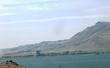
Elevation of Roosevelt, WA, USA

Location: United States > Washington > Klickitat County >

Longitude: -120.21587

Latitude: 45.742907

Elevation: 111m / 364feet

Barometric Pressure: 100KPa

Elevation Map:

elevation map of Roosevelt, WA, USA

Satellite Map:

Satellite map of Roosevelt, WA, USA

Related Photos:

landscapes roadtrip ruralamerica easternwashington oldcountryschools dotroad bickletonwashington clevelandwashington dotwashington dotoneroomschoolhouse
Rain heading for Dot school
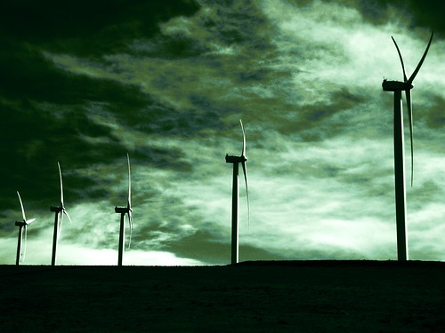
travel sky green clouds oregon windmills cropped 500views picnik columbiarivergorge 2010 easternoregon scarymovies platinumheartaward discoveryphotos
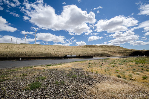
Windmills in the Columbia River Gorge
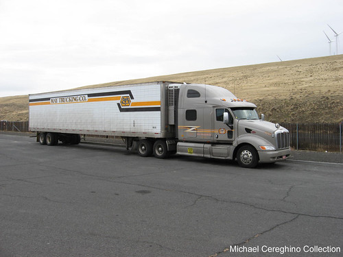
truck may co pete trailer trucking peterbilt refrigerated 387
May Trucking Peterbilt 387 with older Reefer trailer, Truck 4740
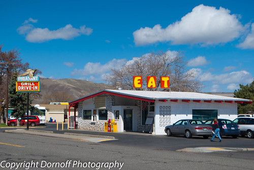
architecture oregon arlington restaurant nikon fastfood smalltown d60 nikond60 ushighway30 pheasantgrilldrivein
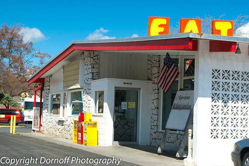
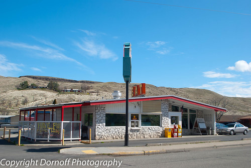
Pheasant Grill Drive-In Arlington, Oregon
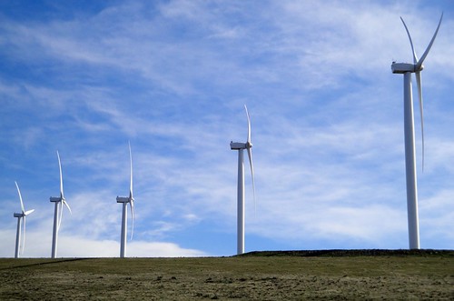
travel blue sky oregon arlington spring windmills roadtrip cropped 500views picnik columbiarivergorge 2010 i84 easternoregon flickraward flickrunitedaward
Windmills in the Columbia River Gorge
xmap
The view from Sundale Park
building architecture oregon restaurant nikon fastfood smalltown d60 nikond60 ushighway30 pheasantgrilldrivein
Pheasant Grill Drive-In Arlington, Oregon
square squareformat iphoneography instagramapp uploaded:by=instagram foursquare:venue=4e1a1c28483b5cfa49daf3f6
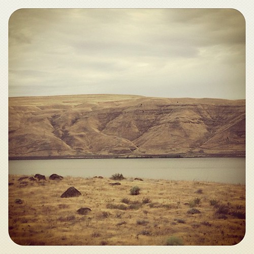
Columbia River. Better views than the Arkansas... #oregon #roadtrip
building architecture oregon arlington restaurant nikon fastfood smalltown d60 nikond60 ushighway30 pheasantgrilldrivein
Pheasant Grill Drive-In Arlington, Oregon
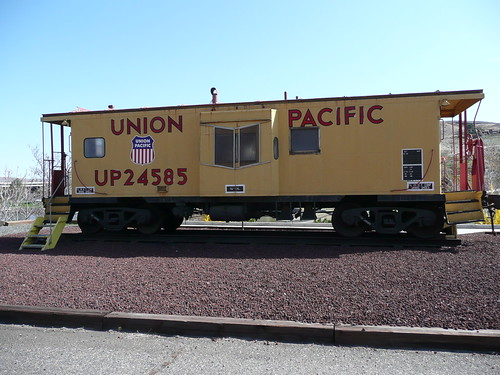
park heritage public wheel yellow oregon arlington train outside outdoors track view pacific display outdoor antique or union transport exhibit caboose sidewalk transportation end pacificnorthwest showing exhibits gravel relic displaying wheeles reacks
Union Pacific
On site
usa oregon america river scenery view columbia 美國 俄勒冈州
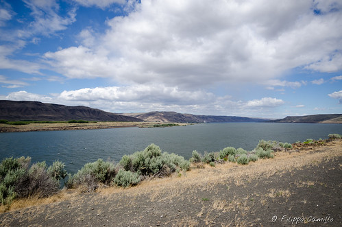
Columbia River View
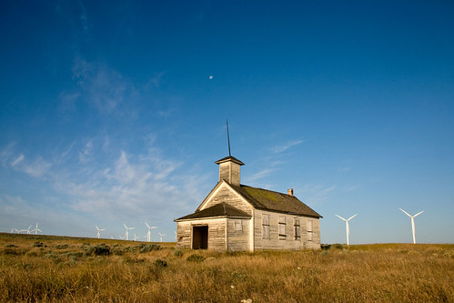
school moon house buildings washington windmills dot
Early Education
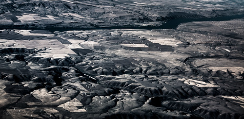
blackandwhite oregon arlington washington unitedstates cemetary marker turbine windturbine windfarm columbiarivergorge fav10
White wind turbines mark buried farmlands
travel blue sky slr film tourism analog 35mm canon eos rebel washington bush highway scenery fuji image superia scenic roadtrip tourist ishootfilm hwy 35mmfilm k2 americana fujifilm openroad interstate roadside washingtonstate eastern bushes 3000v reala fujicolor offtheinterstate latent easternwashington c41 realphotograph roadgeek canoneosrebelk2 filmisnotdead canonrebelk2 fujicolorsuperiareala theevergreenstate latentimage openroads ontheopenroad tamronaf28200mm tamron28200mmf3856ldasphericalifsuper fujicolorsuperiareala100
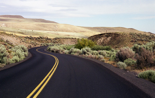
Interstates are for chumps
oregon arlington statiuniti
Seattle - Yellowstone-8420.jpg
oregon arlington statiuniti
Seattle - Yellowstone-8419.jpg
panorama usa oregon arlington river geotagged unitedstates columbia gorge ooolookit geo:lat=4571725189 geo:lon=12023375273
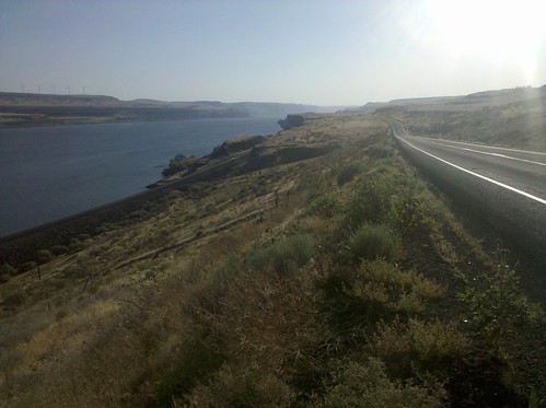
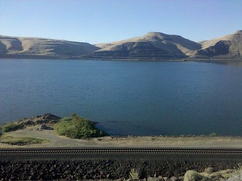
Columbia River at Arlington
travel abandoned oregon canon oldbuilding oldwindow cementplant hwyi84
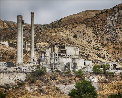
Deserted Cement Plant
oregon arlington statiuniti
Seattle - Yellowstone-8416.jpg
xmap
Late afternoon on the Columbia
travel tourism digital canon eos rebel washington highway scenery kiss scenic roadtrip tourist hwy americana openroad interstate roadside dslr washingtonstate xsi x2 offtheinterstate easternwashington digitalsucks roadgeek 450d theevergreenstate openroads ontheopenroad canoneos450d tamron28200mmf3856ldasphericalifsuper rebelxsi canoneosdigitalrebelxsi digitalversusfilm kissdigitalx2canon
Why I shoot film
no meetings this week
roadtrip2012
2012-ROADTRIP38-Windmills2
panorama river geotagged columbia gorge geo:lat=4569554662 geo:lon=12037493348
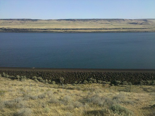
Columbia River at Blalock Canyon
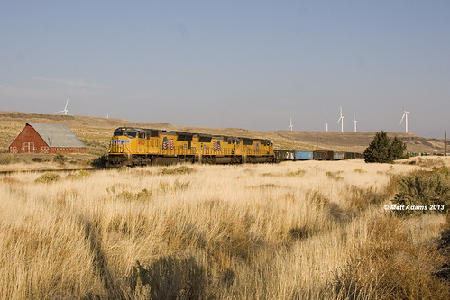
unionpacific pcc emd sd70m usegl condonbranch
PCC USEGL
xmap
There is a naked person in this photo
railroad usa oregon arlington highway unitedstates mount hood ooolookit oregonfromamovingcar
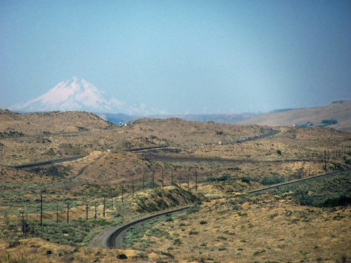
Oregon desert and Mount Hood
road clouds oregon gorge
the gorge
xmap
There they are again
Day 5: Oregon!