Elevation of Mabton, WA, USA
Location: United States > Washington > Yakima County >
Longitude: -119.99670
Latitude: 46.2148534
Elevation: 217m / 712feet
Barometric Pressure: 99KPa
Elevation Map:
Satellite Map:
Related Photos:

Colonial Theatre

Colonial Theatre

Stilt Sandpiper flight 2018-08-27 ©Kevin S Lucas

Dont slip!

Red-shouldered Hawk 2nd site 2017-09-07 Kevin S Lucas

Ian at the Little Church

You Are Here

He slipped

Enter Sinner!

Stilt Sandpiper & Killdeer in flight 2018-08-27 ©Kevin S Lucas

Stilt Sandpiper flight p2 2018-08-27 ©Kevin S Lucas

20060826-BBQ1.jpg

VicAERIAL-98944

sunset_sunnyside5-07a

Bonaparte's Gulls 2018-04-27 ©Kevin S Lucas

olympic national park roads. washington.

Little Buck Deer

Wide open spaces

Rolling rolling rolling, keep those doggies rolling
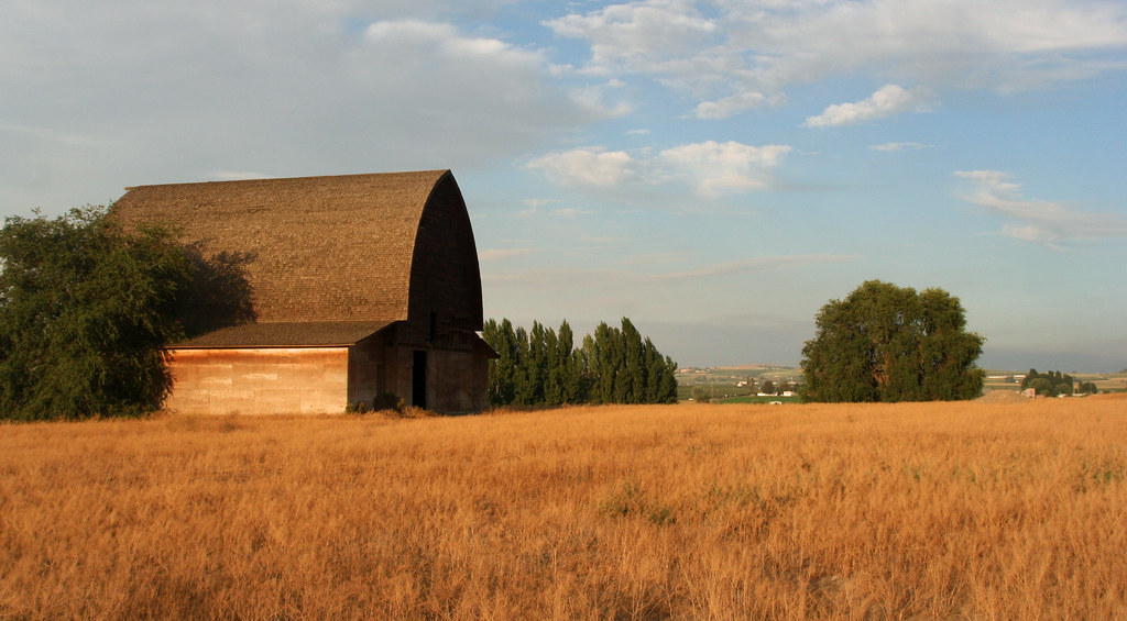
Yakima Valley Barn

Sunnyside High School

Sunnyside High School

Toppenish Wildlife National Refuge

Horse-drawn Hearse

CBRW 2184 West

CBRW 302 East

Toppenish Wildlife National Refuge
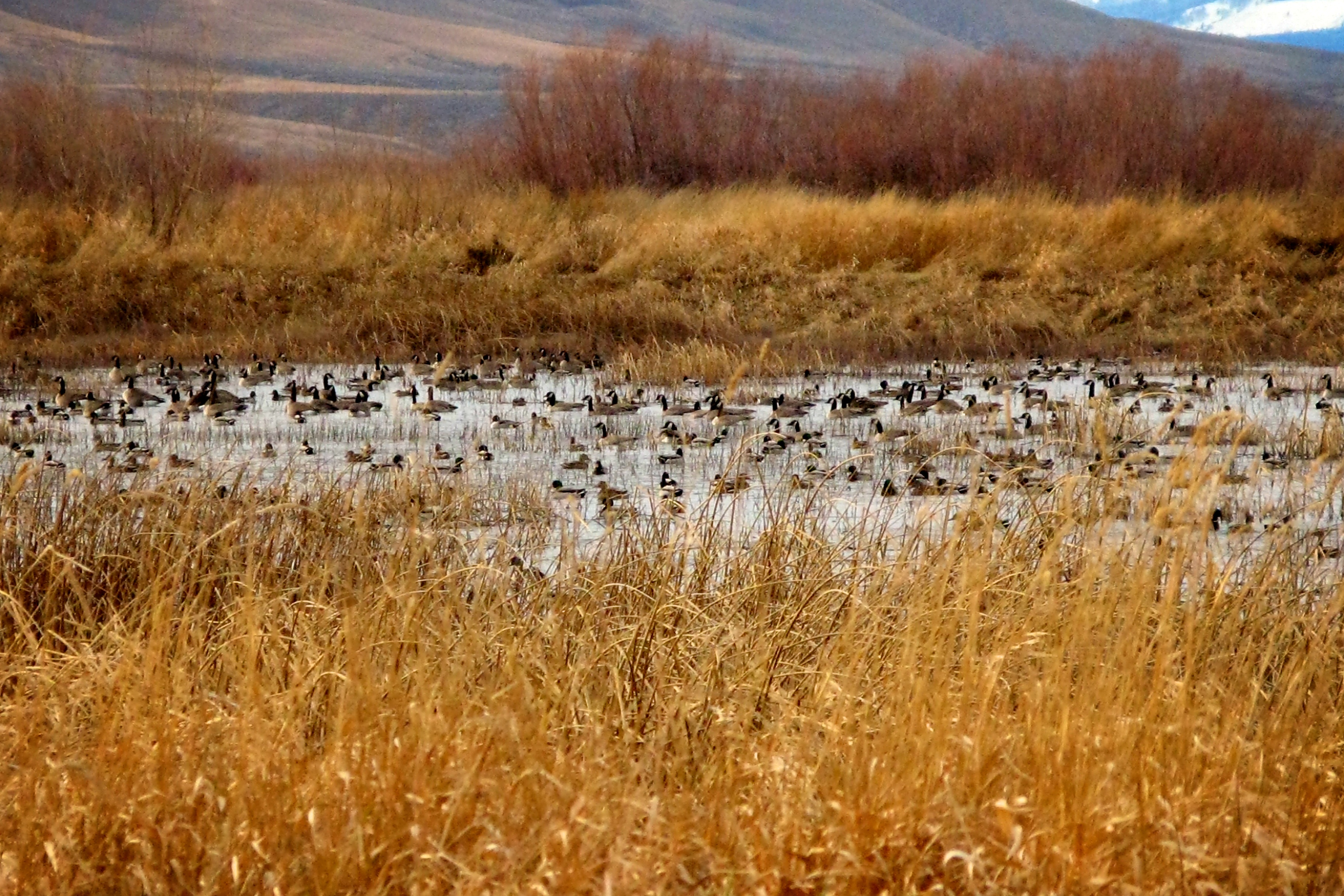
Toppenish Wildlife National Refuge

Toppenish Wildlife National Refuge

Toppenish Wildlife National Refuge

Toppenish Wildlife National Refuge
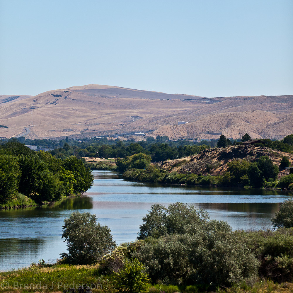
Yakima River

Sunset fun set in Sunnyside.

N7QNM-10

2010-09-11 Wine and Wandering in Eastern WA 059
Topographic Map of Mabton, WA, USA
Find elevation by address:

Places near Mabton, WA, USA:
Interstate 82
1820 S 1st St
186 E S Hill Rd
Grandview
Division St, Grandview, WA, USA
Sunnyside Ambulance
Sunnyside
Outlook
16315 W Richards Rd
Prosser
7th St, Prosser, WA, USA
Granger
Granger
440 Gurley Rd
50 Dalton Ln
Toppenish, WA, USA
20302 N Case Rd
Zillah
E Toppenish Ave, Toppenish, WA, USA
Toppenish
Recent Searches:
- Elevation of Corso Fratelli Cairoli, 35, Macerata MC, Italy
- Elevation of Tallevast Rd, Sarasota, FL, USA
- Elevation of 4th St E, Sonoma, CA, USA
- Elevation of Black Hollow Rd, Pennsdale, PA, USA
- Elevation of Oakland Ave, Williamsport, PA, USA
- Elevation of Pedrógão Grande, Portugal
- Elevation of Klee Dr, Martinsburg, WV, USA
- Elevation of Via Roma, Pieranica CR, Italy
- Elevation of Tavkvetili Mountain, Georgia
- Elevation of Hartfords Bluff Cir, Mt Pleasant, SC, USA