Elevation of Rock Creek Township, AR, USA
Location: United States > Arkansas > Searcy County >
Longitude: -92.519793
Latitude: 36.0412221
Elevation: 276m / 906feet
Barometric Pressure: 98KPa
Elevation Map:
Satellite Map:
Related Photos:

Buffalo National River, AR

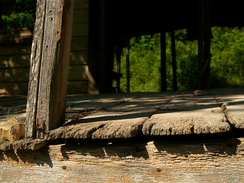
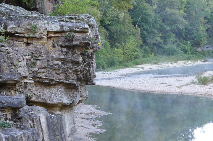
Buffalo Bluff

Buffalo National River, AR
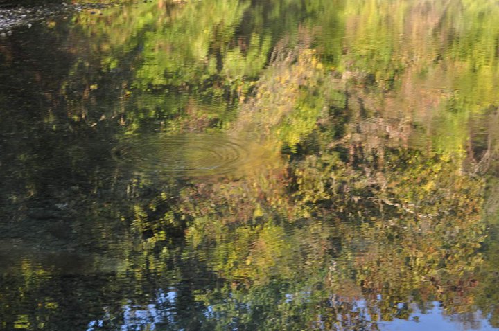
Rushin' around
2010 SUMC Women's Retreat - Outdoors
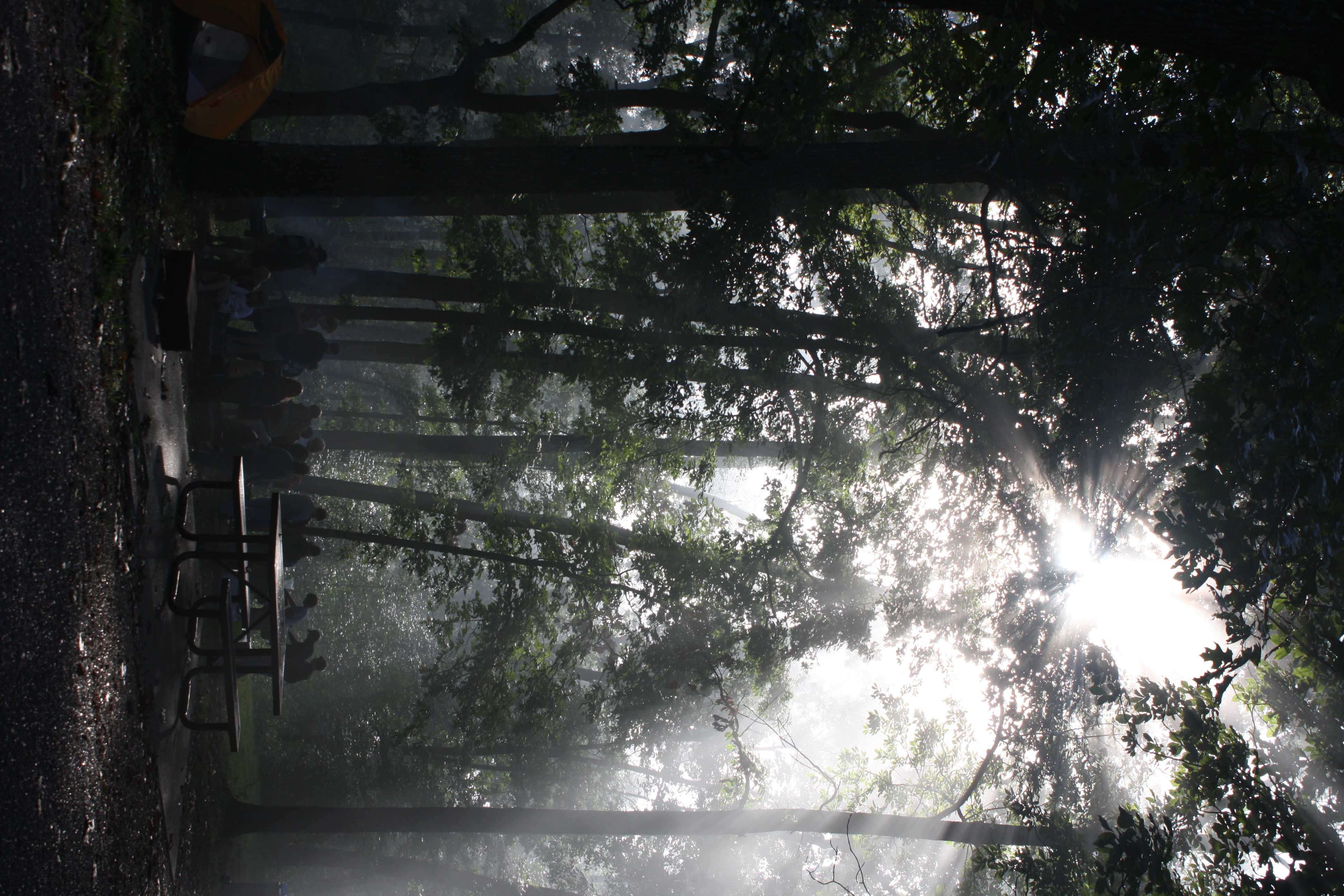
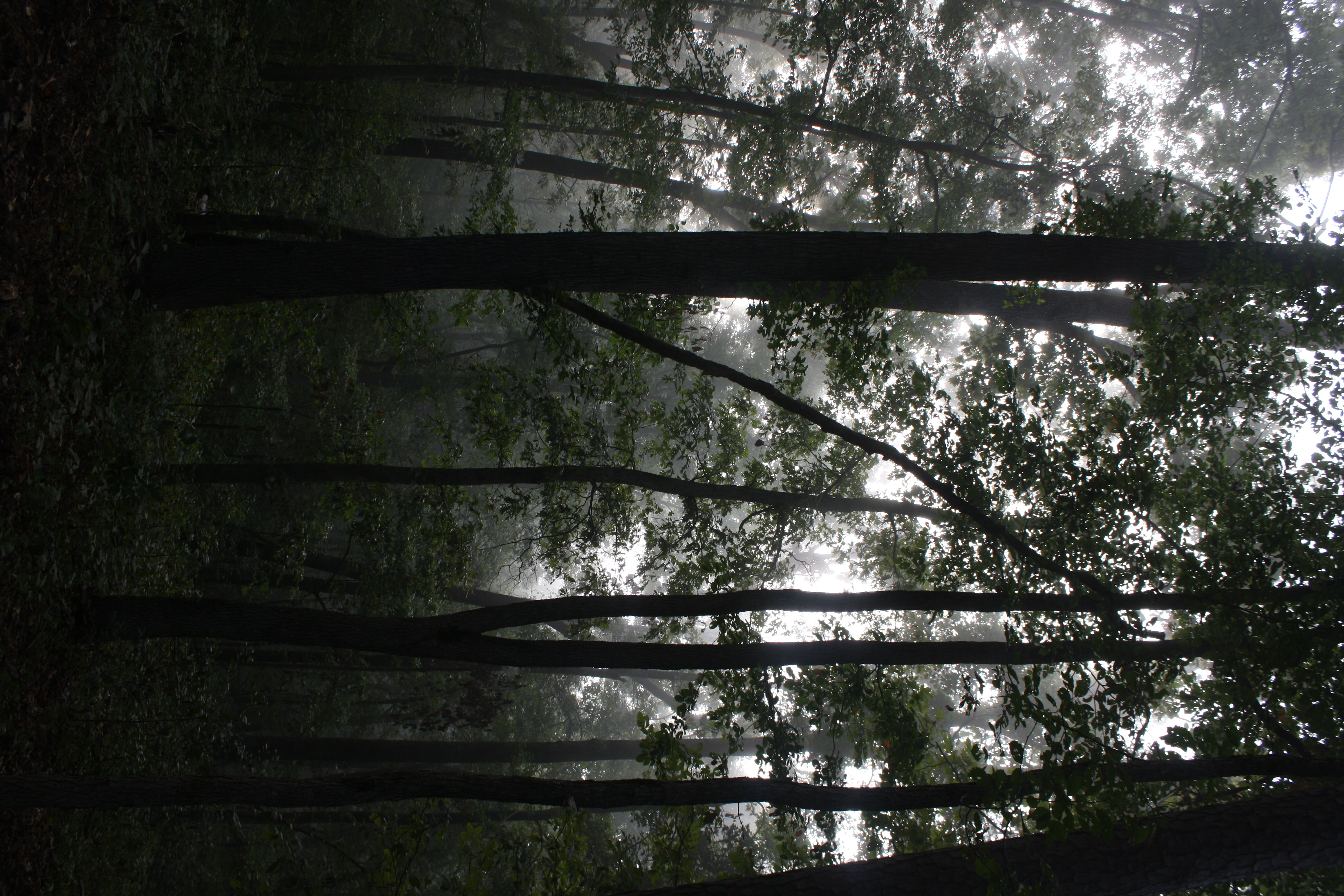
The sun's rays push through the branches
Buffalo River Float - May 2009
2010 SUMC Women's Retreat - Outdoors
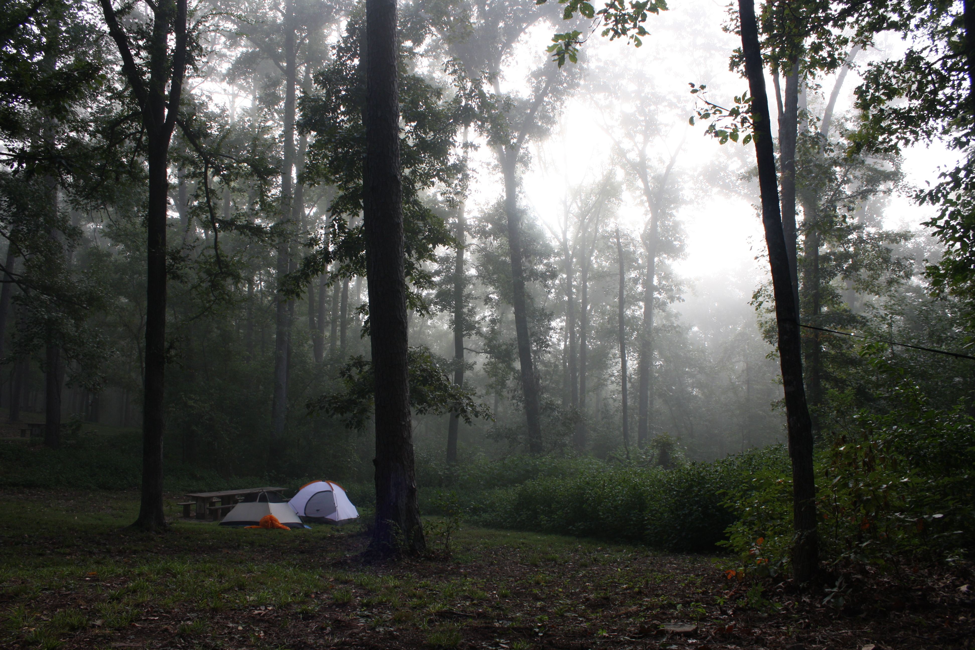
Fog and trees mix near the Buffalo National River
Time to wake up

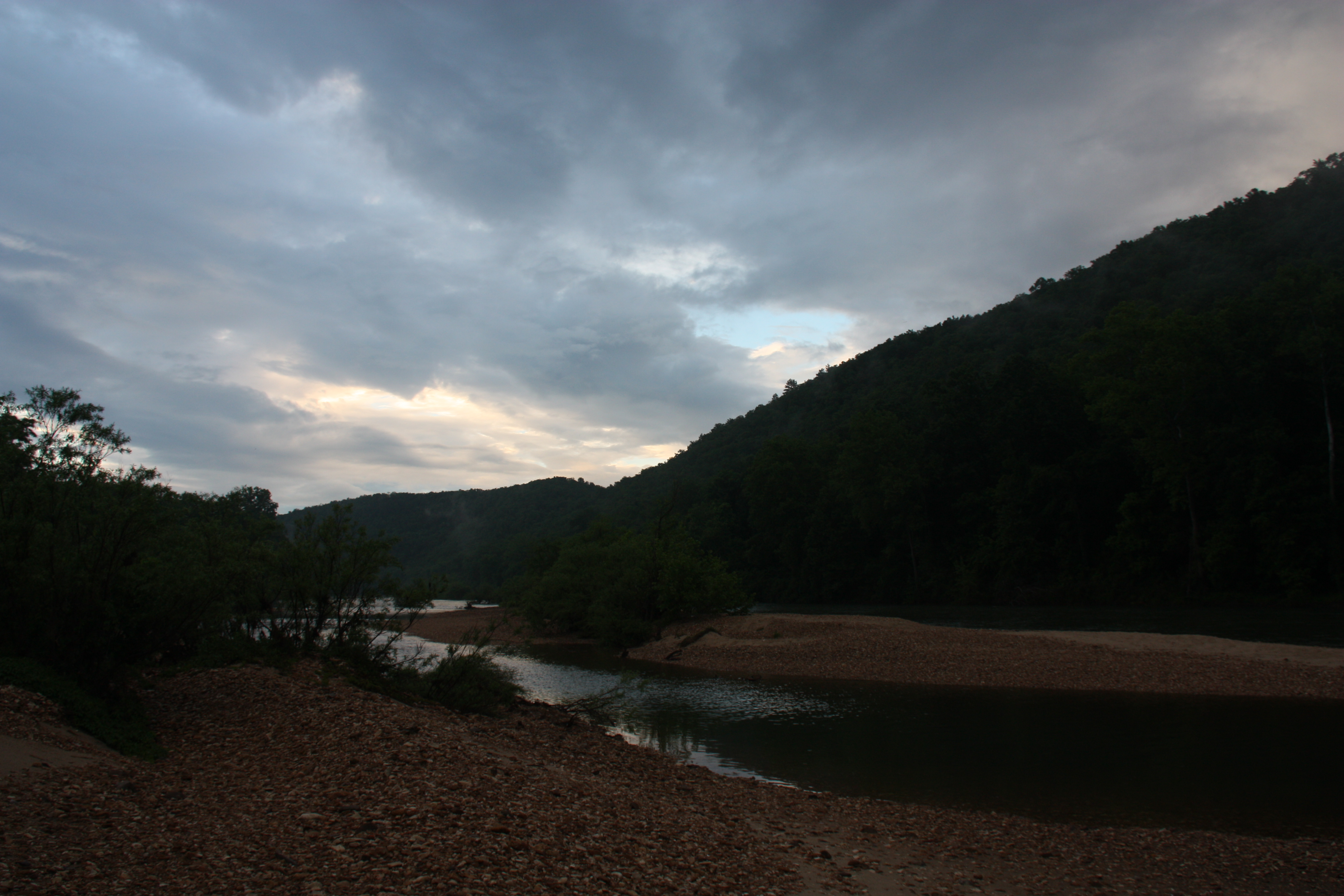
Buffalo River - Tony Bend
Topographic Map of Rock Creek Township, AR, USA
Find elevation by address:

Places in Rock Creek Township, AR, USA:
Places near Rock Creek Township, AR, USA:
Old Timers Drive
AR-14, Harriet, AR, USA
Harriet
1044 Cozy Ln
De Soto Township
680 Cozy Ln
Morning Star
778 Cozy Ln
Rush
Big Flat
34425 Ar-263
Bear Creek No. 6 Township
298 Carpenters Trail
Mud Hollow Lane
Buffalo City
Bear Creek No. 4 Township
637 Cougar Ln
32270 Ar-263
Big Flat Township
170 Gilbert Rd
Recent Searches:
- Elevation of Corso Fratelli Cairoli, 35, Macerata MC, Italy
- Elevation of Tallevast Rd, Sarasota, FL, USA
- Elevation of 4th St E, Sonoma, CA, USA
- Elevation of Black Hollow Rd, Pennsdale, PA, USA
- Elevation of Oakland Ave, Williamsport, PA, USA
- Elevation of Pedrógão Grande, Portugal
- Elevation of Klee Dr, Martinsburg, WV, USA
- Elevation of Via Roma, Pieranica CR, Italy
- Elevation of Tavkvetili Mountain, Georgia
- Elevation of Hartfords Bluff Cir, Mt Pleasant, SC, USA