Elevation of Buffalo City, AR, USA
Location: United States > Arkansas > Baxter County > Buford Township >
Longitude: -92.442703
Latitude: 36.167732
Elevation: 135m / 443feet
Barometric Pressure: 100KPa
Elevation Map:
Satellite Map:
Related Photos:

Buffalo National River, AR
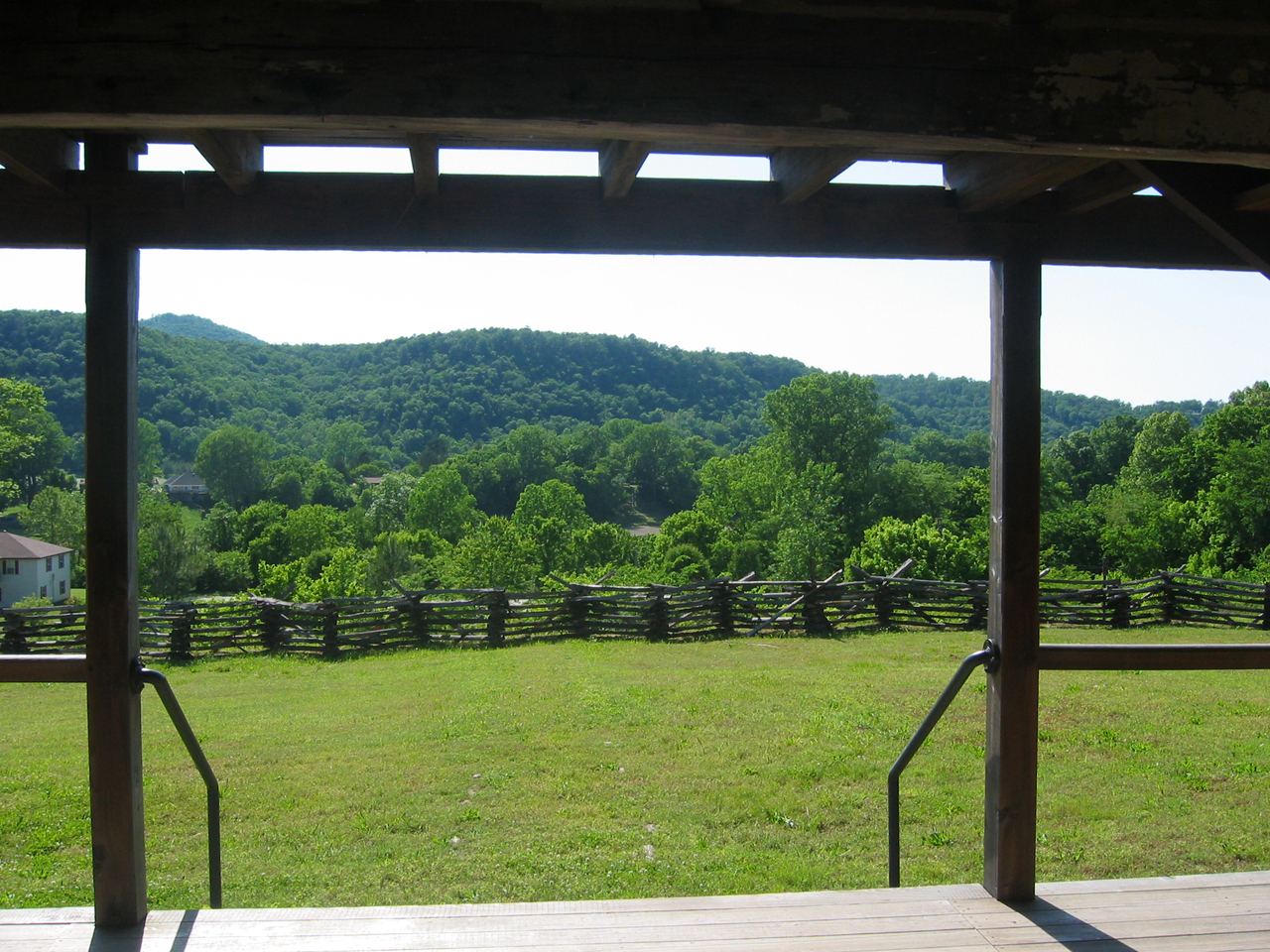
The View
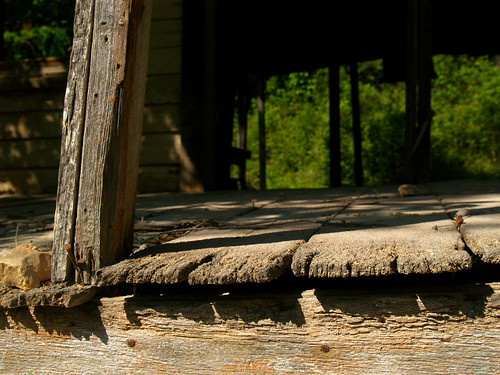
Wolf House Front View
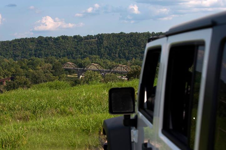
Atop the bluff over Cotter AR
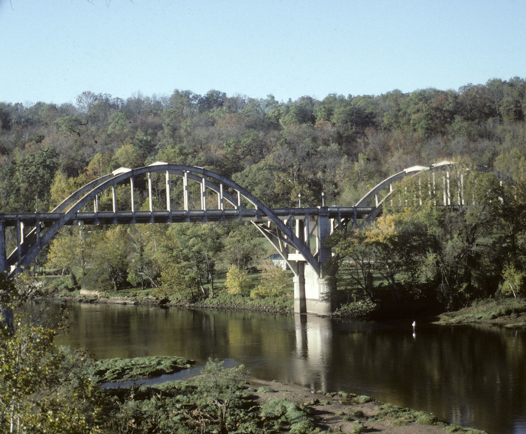
Gotter AR Highway Bridge 10/95
Rushin' around

Buffalo National River, AR

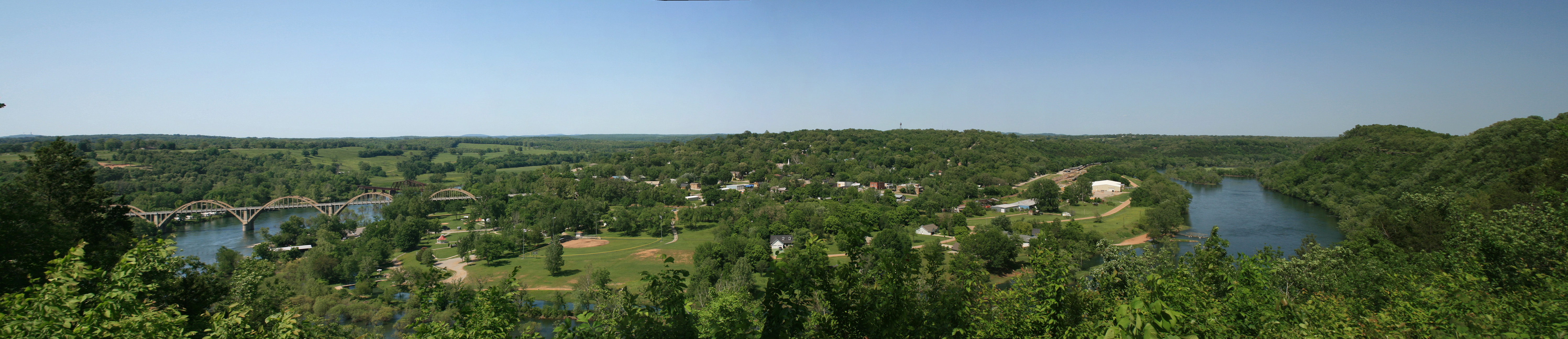
Buffalo Bluff
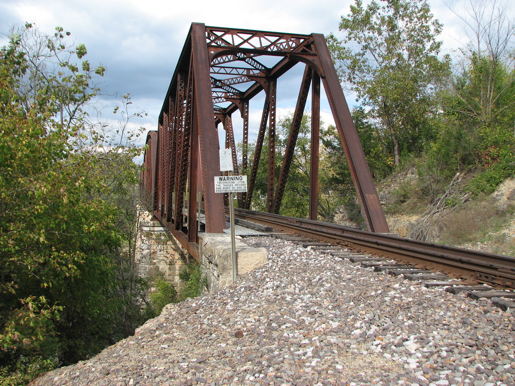
Norfork RR bridge- South Approach-Side View

White River, AR

Moth on Fleabane
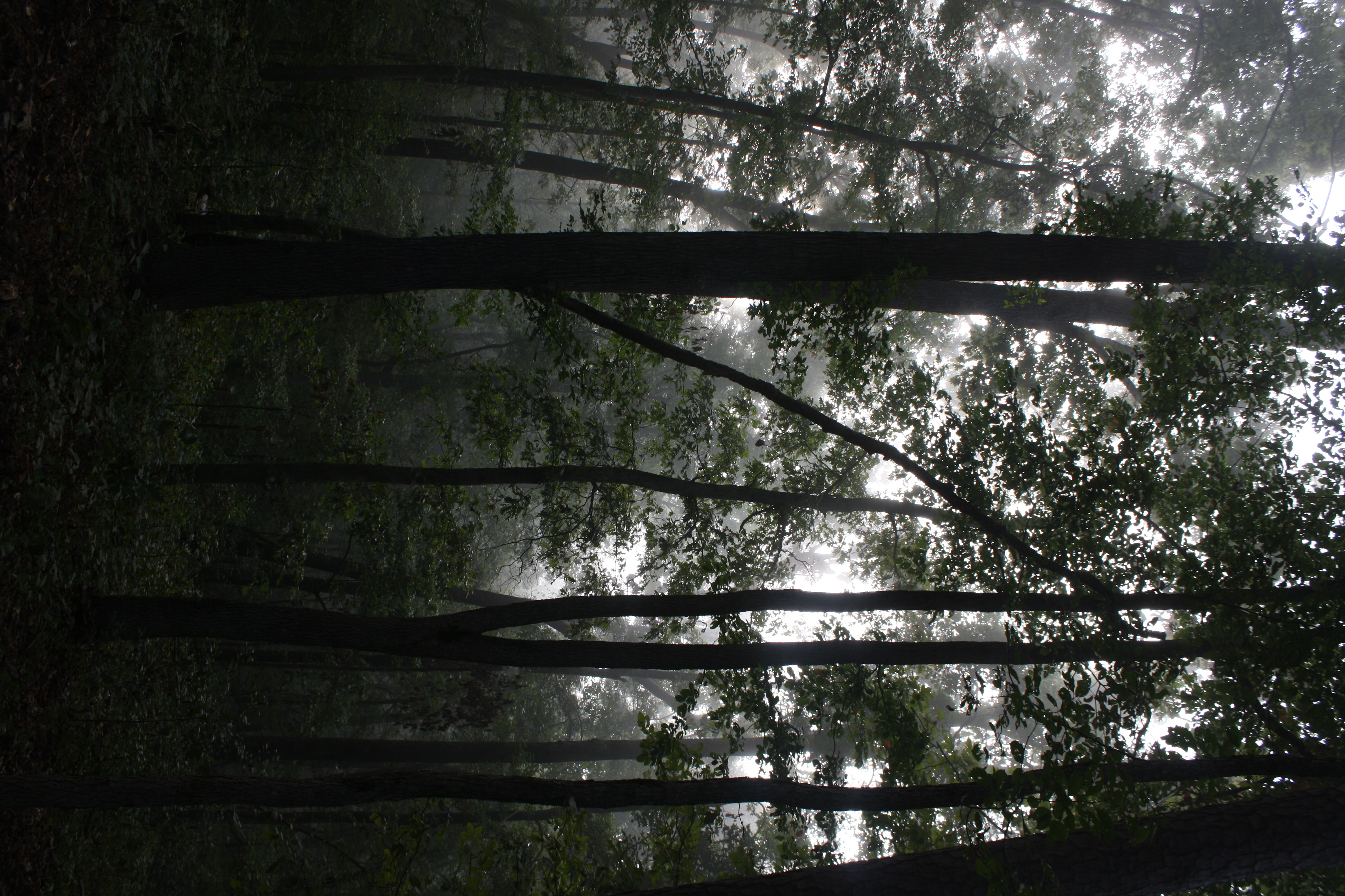
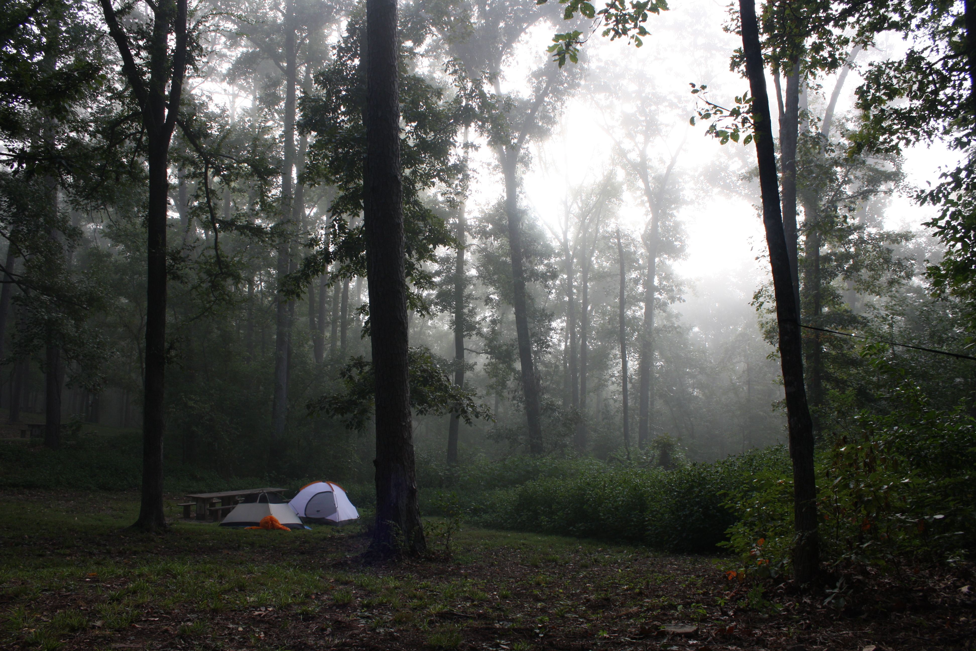
Fog and trees mix near the Buffalo National River
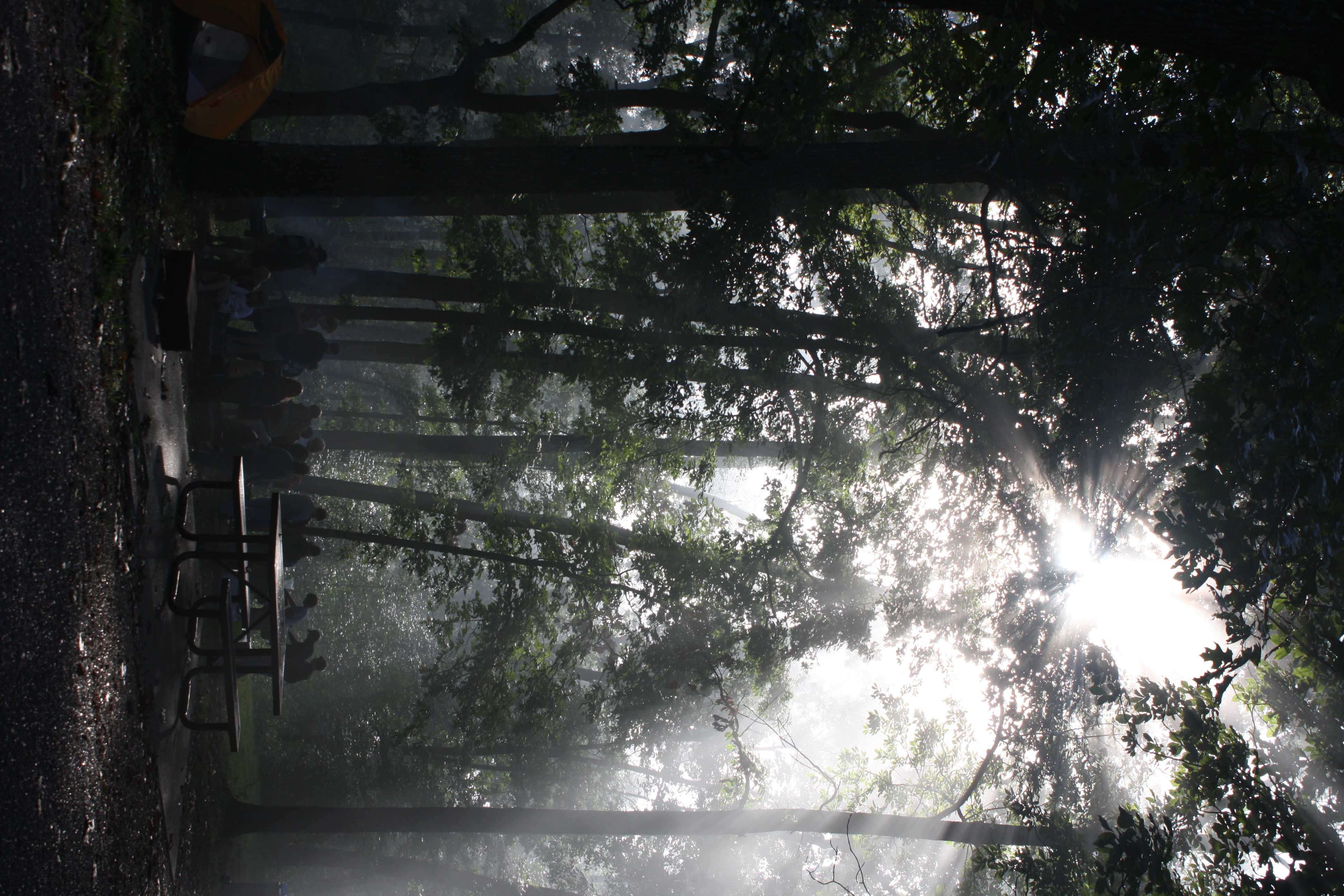
The sun's rays push through the branches
Time to wake up

Buffalo River - Tony Bend
Topographic Map of Buffalo City, AR, USA
Find elevation by address:

Places near Buffalo City, AR, USA:
Co Rd, Norfork, AR, USA
Lone Rock Township
3389 Co Rd 108
Big Flat Township
Sheid Rd, Norfork, AR, USA
Norfork
Arkansas 5
282 County Rd 204
16481 Ar-5
AR-5, Norfork, AR, USA
Jordan Rd, Norfork, AR, USA
Greenwood Township
Culp
Race Track Shoals Road
618 Ar-5
White River Meadows
Calico Rock
Union Township
Optimus Township
Optimus River Rd, Calico Rock, AR, USA
Recent Searches:
- Elevation of Corso Fratelli Cairoli, 35, Macerata MC, Italy
- Elevation of Tallevast Rd, Sarasota, FL, USA
- Elevation of 4th St E, Sonoma, CA, USA
- Elevation of Black Hollow Rd, Pennsdale, PA, USA
- Elevation of Oakland Ave, Williamsport, PA, USA
- Elevation of Pedrógão Grande, Portugal
- Elevation of Klee Dr, Martinsburg, WV, USA
- Elevation of Via Roma, Pieranica CR, Italy
- Elevation of Tavkvetili Mountain, Georgia
- Elevation of Hartfords Bluff Cir, Mt Pleasant, SC, USA