Elevation of Culp, Greenwood Township, AR, USA
Location: United States > Arkansas > Baxter County > Greenwood Township >
Longitude: -92.219043
Latitude: 36.1097927
Elevation: 125m / 410feet
Barometric Pressure: 100KPa
Elevation Map:
Satellite Map:
Related Photos:
Wolf House Front View
Calico Creek RR bridge-Side View
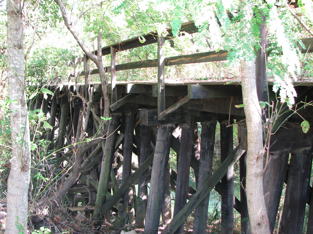
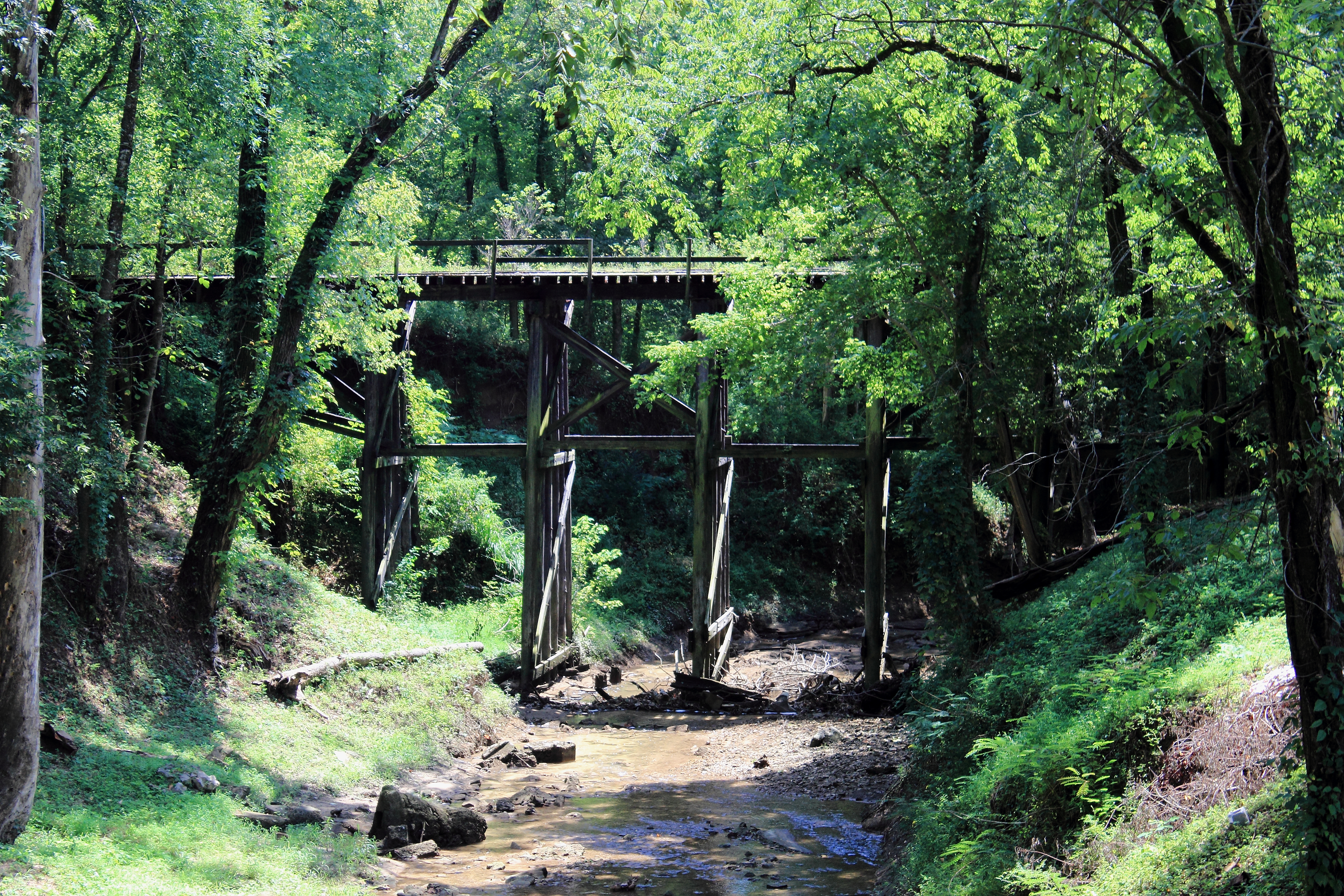
Trestle View- Calico Creek RR bridge
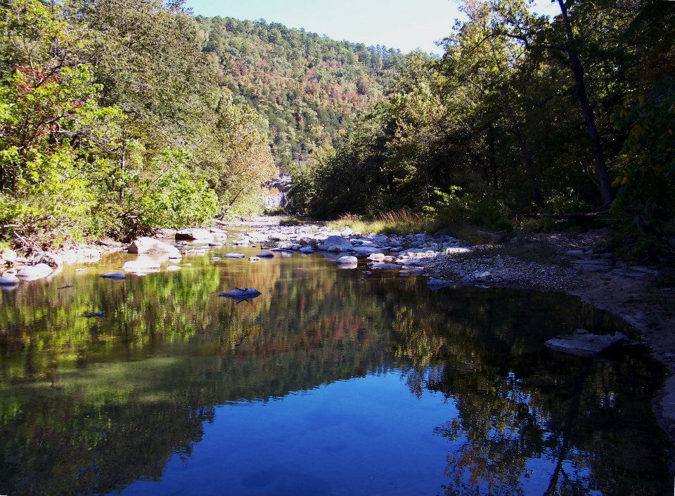
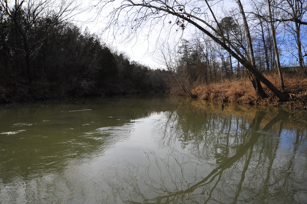
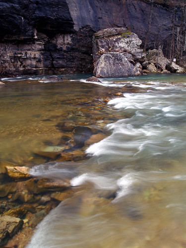
Sylamore Creek
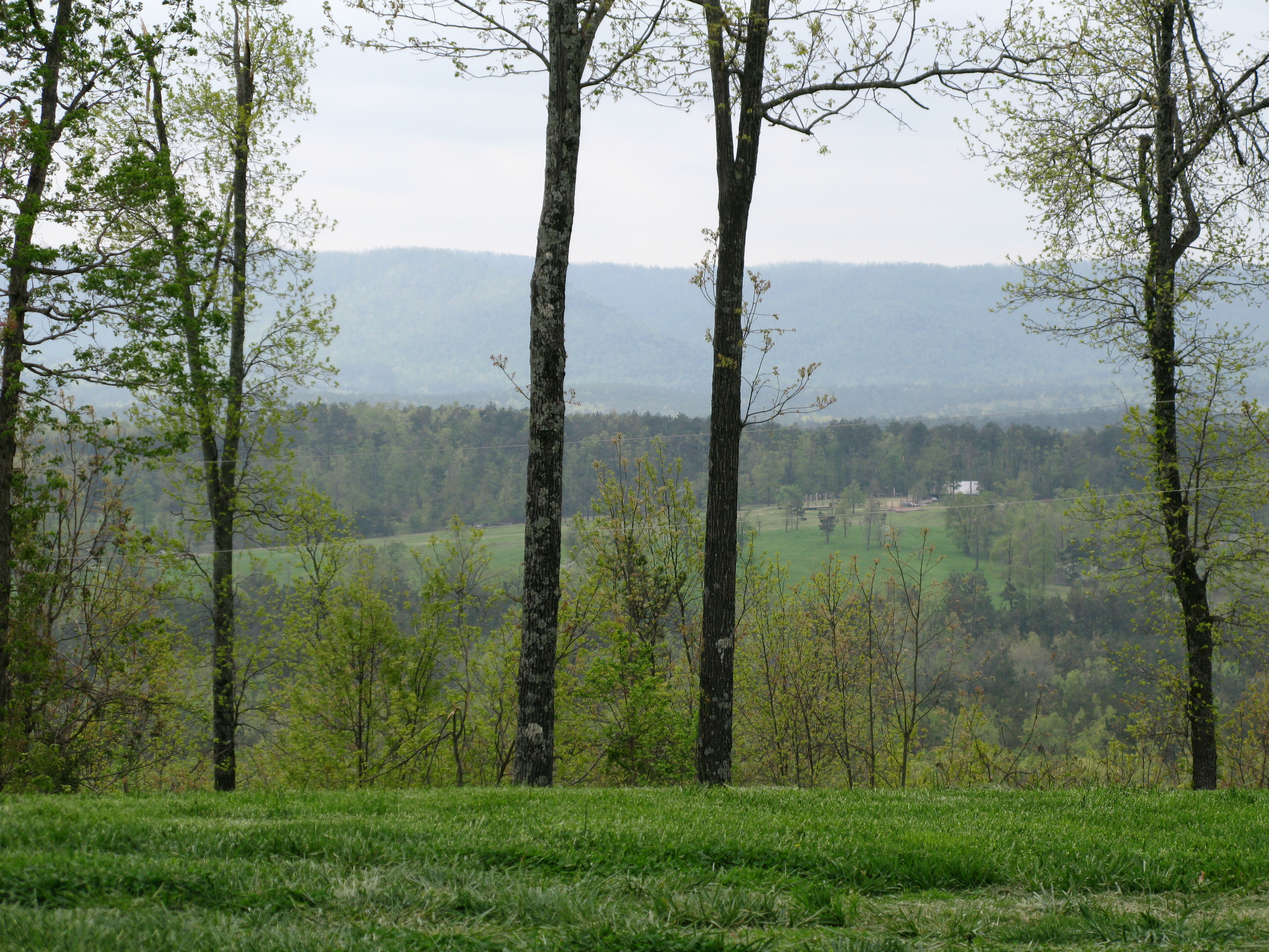
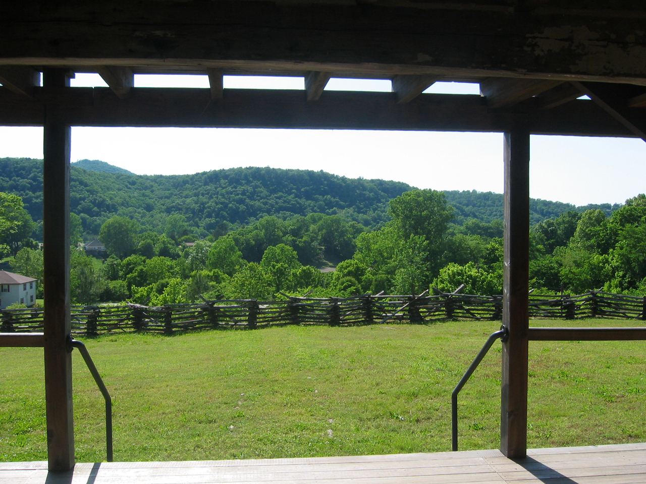
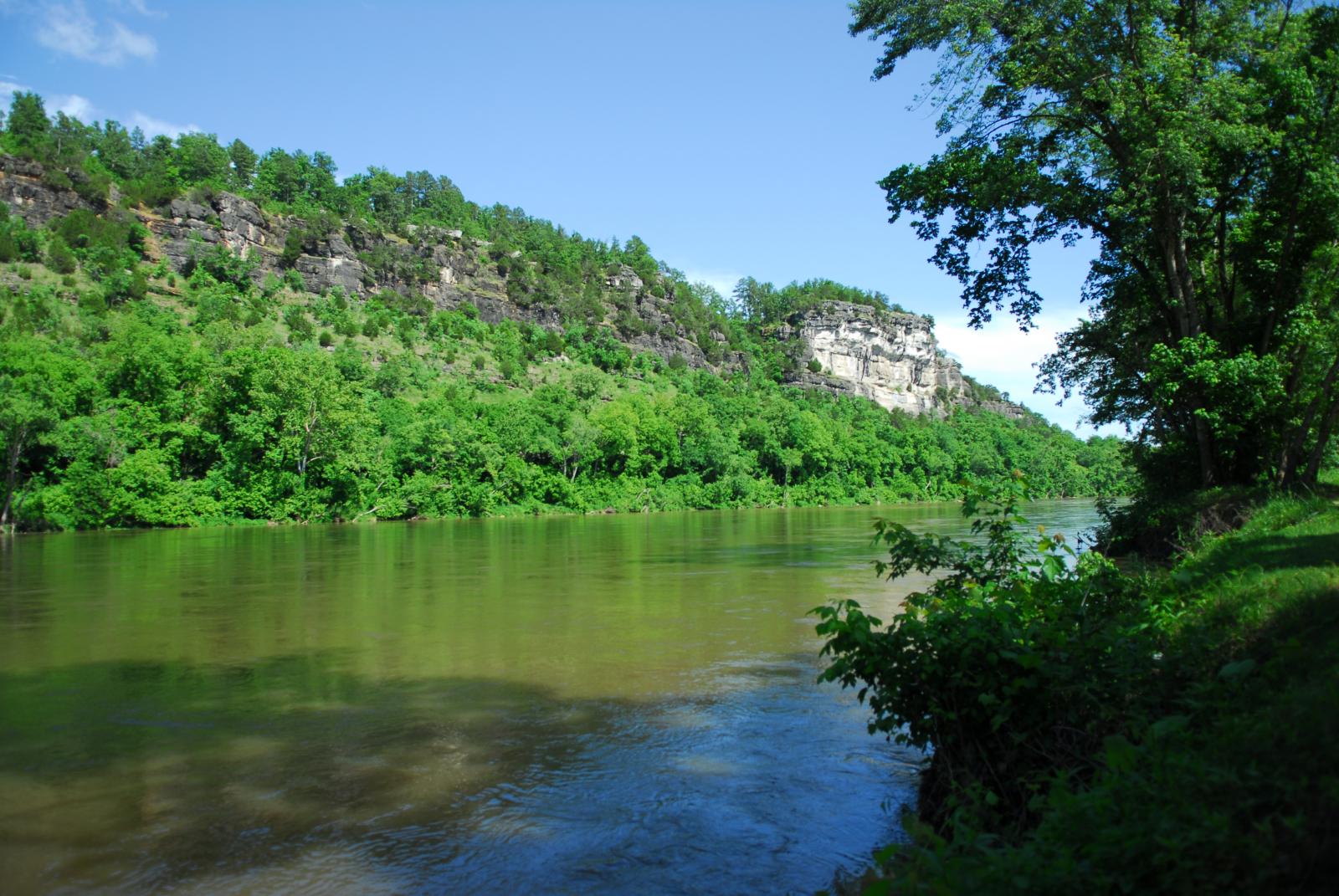
View of the Ozarks
Norfork RR bridge- South Approach-Side View
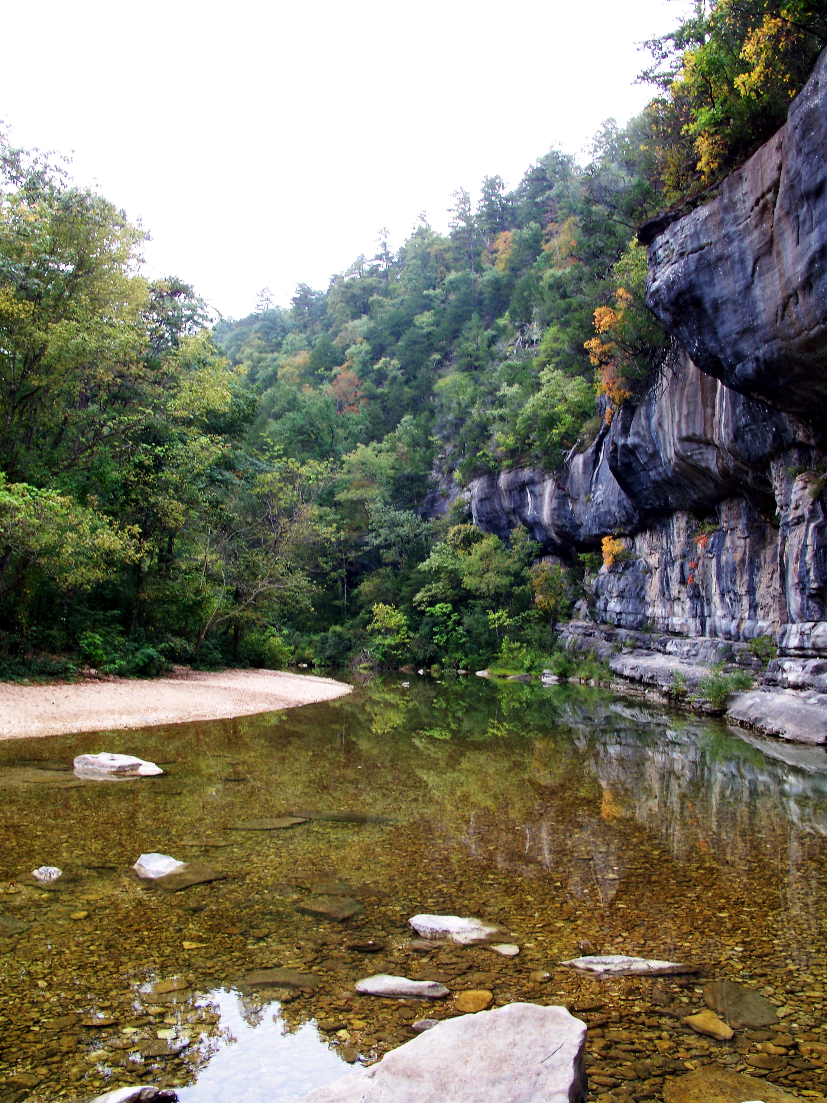
Sylamore Creek 1
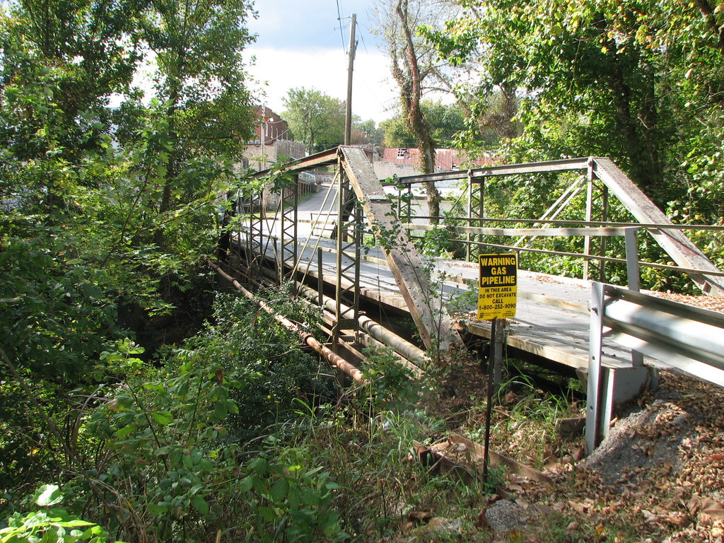
Calico Creek AR 56-Side View
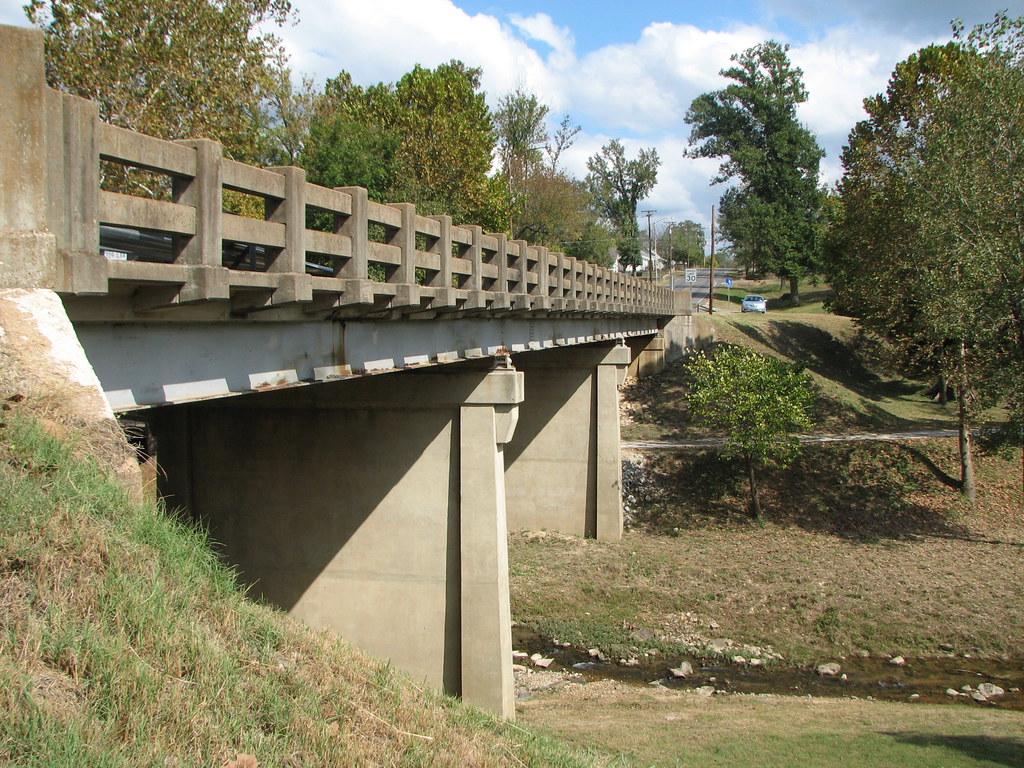
Walnut Street Bridge-Side View
This is the Creek, Piney Creek

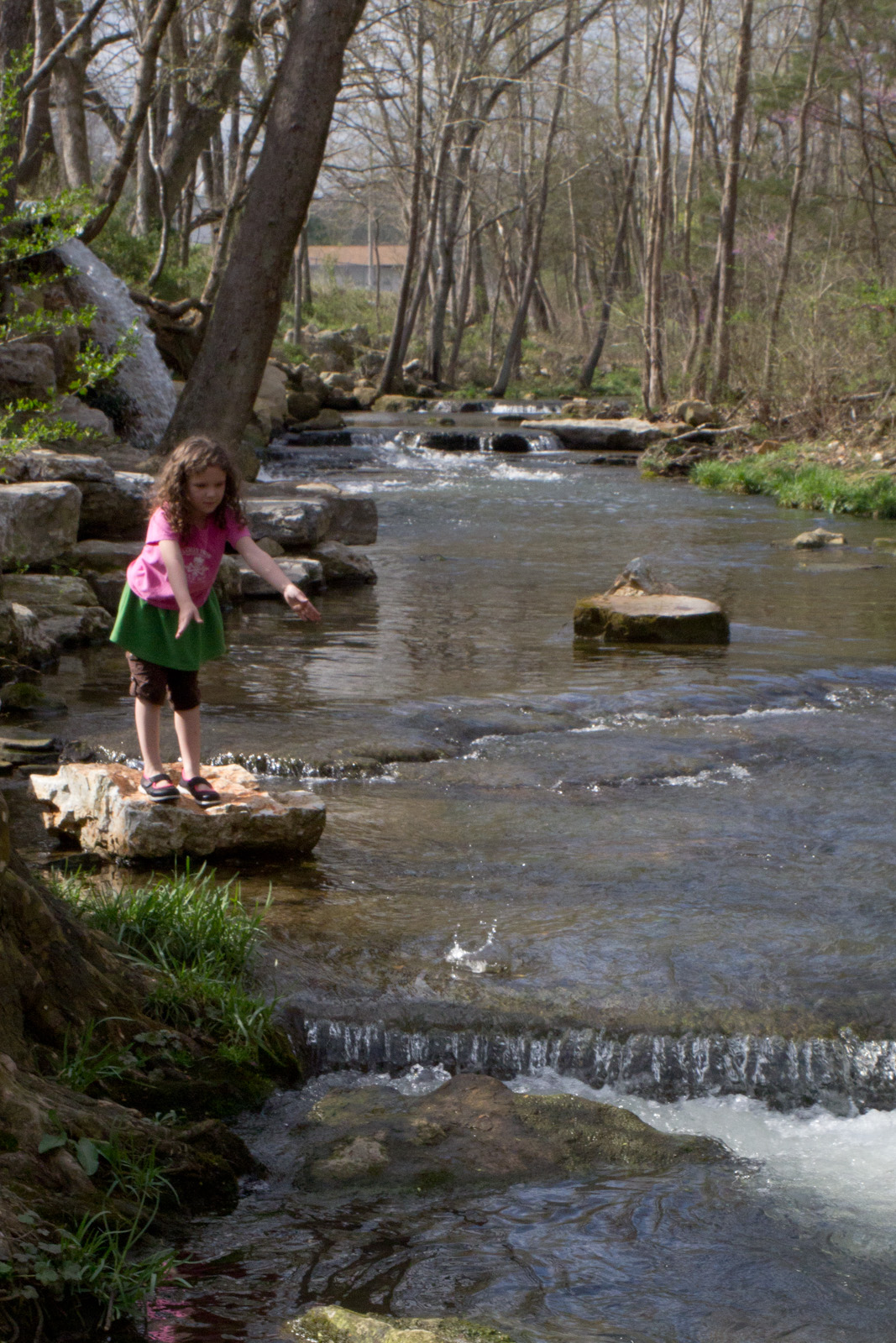
Taking It All In

welcoming-the-sun
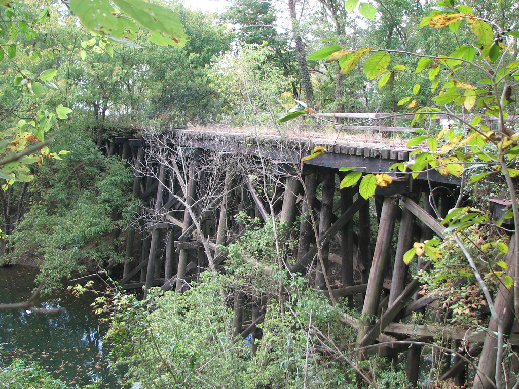
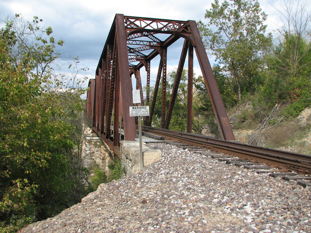
Railroad Bridge at Calico Rock
sylamore creek
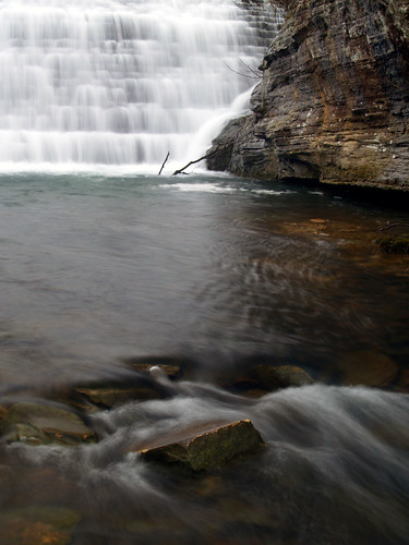
Rock Makes Splash 1
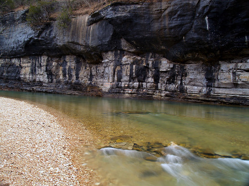
Gunner Pool

2014-08-23; White River @ Calico Rock AR #calicorockar #calico #rock #arkansas #whiteriver #white #river #calicorock

Norfork Dam-Arkansas
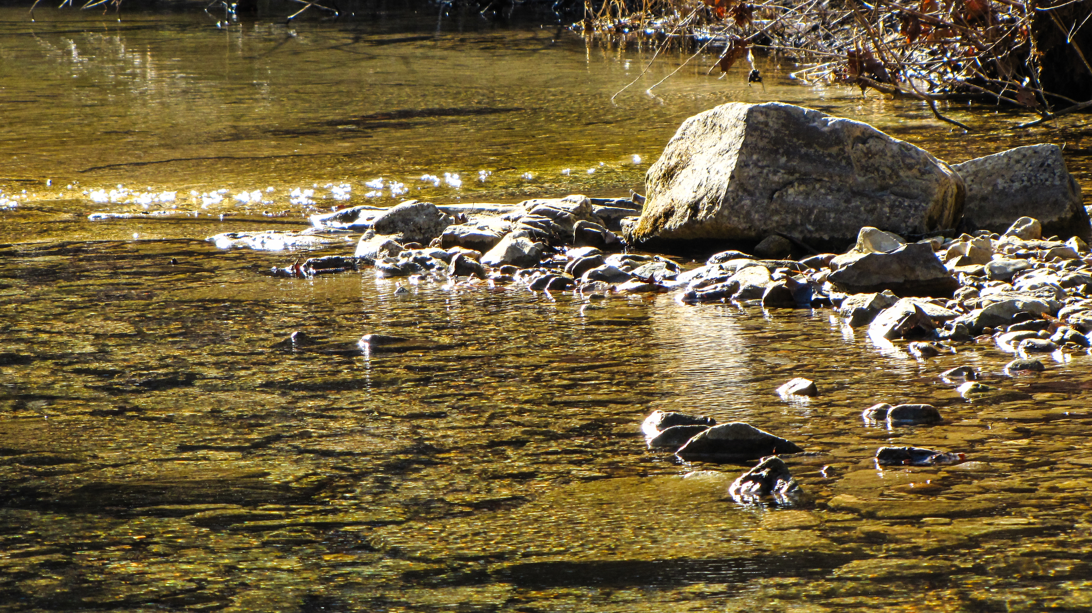
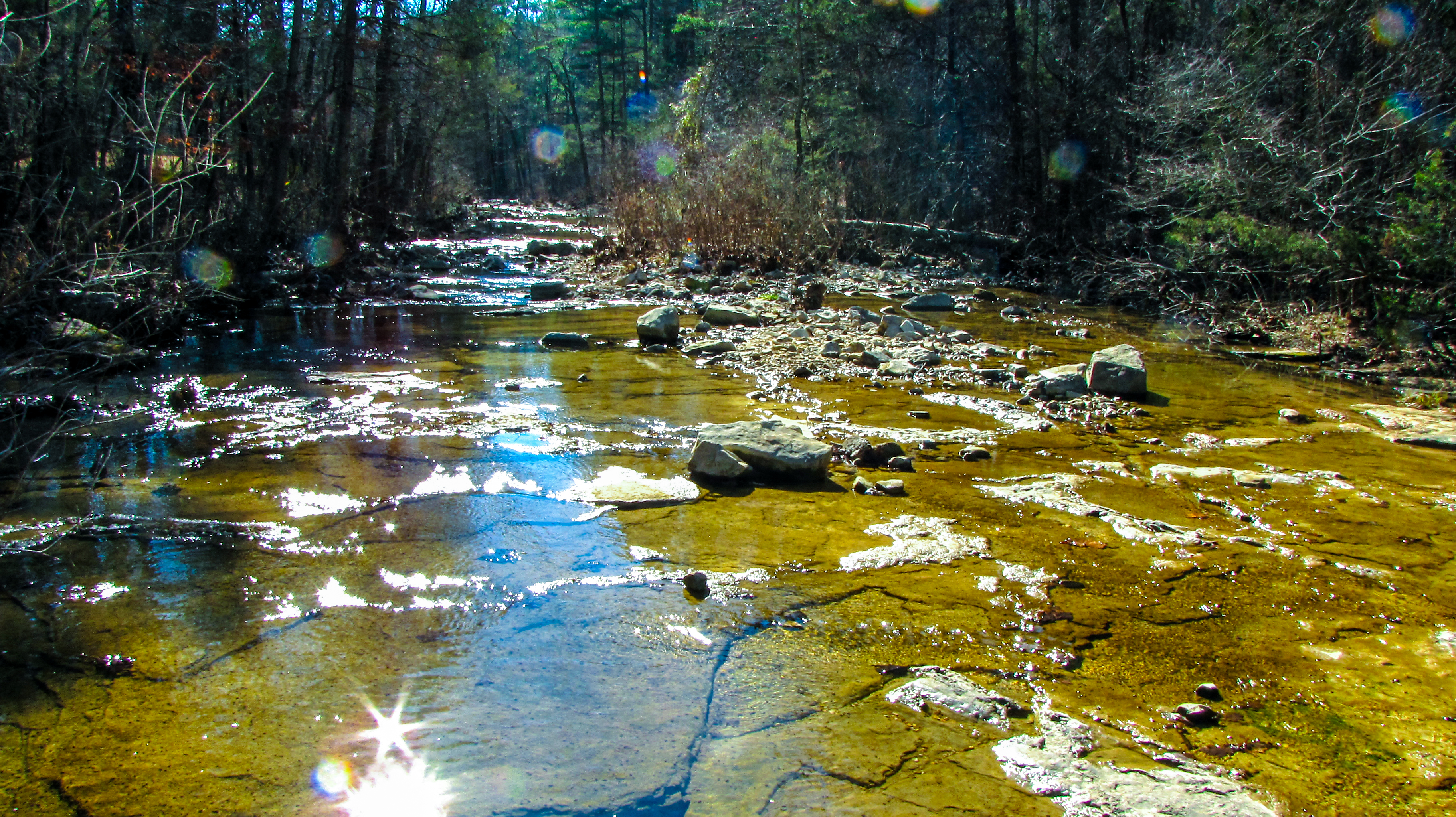
sparkling stream
Gunner Pool

Troutfest 24
North Sylamore Creek
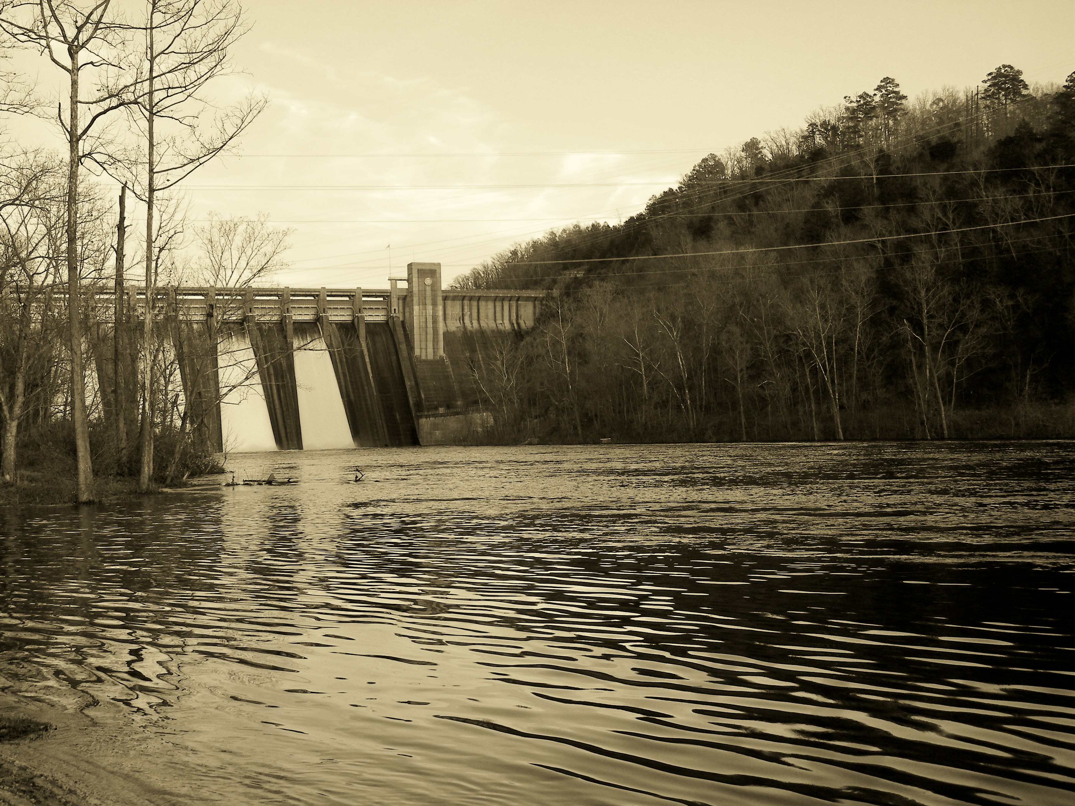
Norfork Dam-Arkansas

Another Excellent Spot

Peppersauce Ghost Town
Troutfest 24
Topographic Map of Culp, Greenwood Township, AR, USA
Find elevation by address:

Places near Culp, Greenwood Township, AR, USA:
Greenwood Township
Race Track Shoals Road
AR-5, Norfork, AR, USA
White River Meadows
618 Ar-5
16481 Ar-5
Calico Rock
Sheid Rd, Norfork, AR, USA
Arkansas 5
Jordan Rd, Norfork, AR, USA
282 County Rd 204
Union Township
Optimus Township
Optimus River Rd, Calico Rock, AR, USA
3389 Co Rd 108
Norfork
Lone Rock Township
Co Rd, Norfork, AR, USA
Big Flat Township
Buffalo City
Recent Searches:
- Elevation of Corso Fratelli Cairoli, 35, Macerata MC, Italy
- Elevation of Tallevast Rd, Sarasota, FL, USA
- Elevation of 4th St E, Sonoma, CA, USA
- Elevation of Black Hollow Rd, Pennsdale, PA, USA
- Elevation of Oakland Ave, Williamsport, PA, USA
- Elevation of Pedrógão Grande, Portugal
- Elevation of Klee Dr, Martinsburg, WV, USA
- Elevation of Via Roma, Pieranica CR, Italy
- Elevation of Tavkvetili Mountain, Georgia
- Elevation of Hartfords Bluff Cir, Mt Pleasant, SC, USA