Elevation of Old Timers Drive, Old Timers Dr, Rock Creek Township, AR, USA
Location: United States > Arkansas > Searcy County > Rock Creek Township > Harriet >
Longitude: -92.554482
Latitude: 36.041835
Elevation: 314m / 1030feet
Barometric Pressure: 98KPa
Elevation Map:
Satellite Map:
Related Photos:

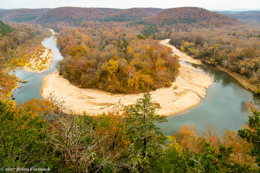
Buffalo River
Loonbeam Hollow

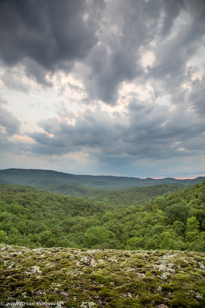
Lichen the view
Loonbeam Hollow

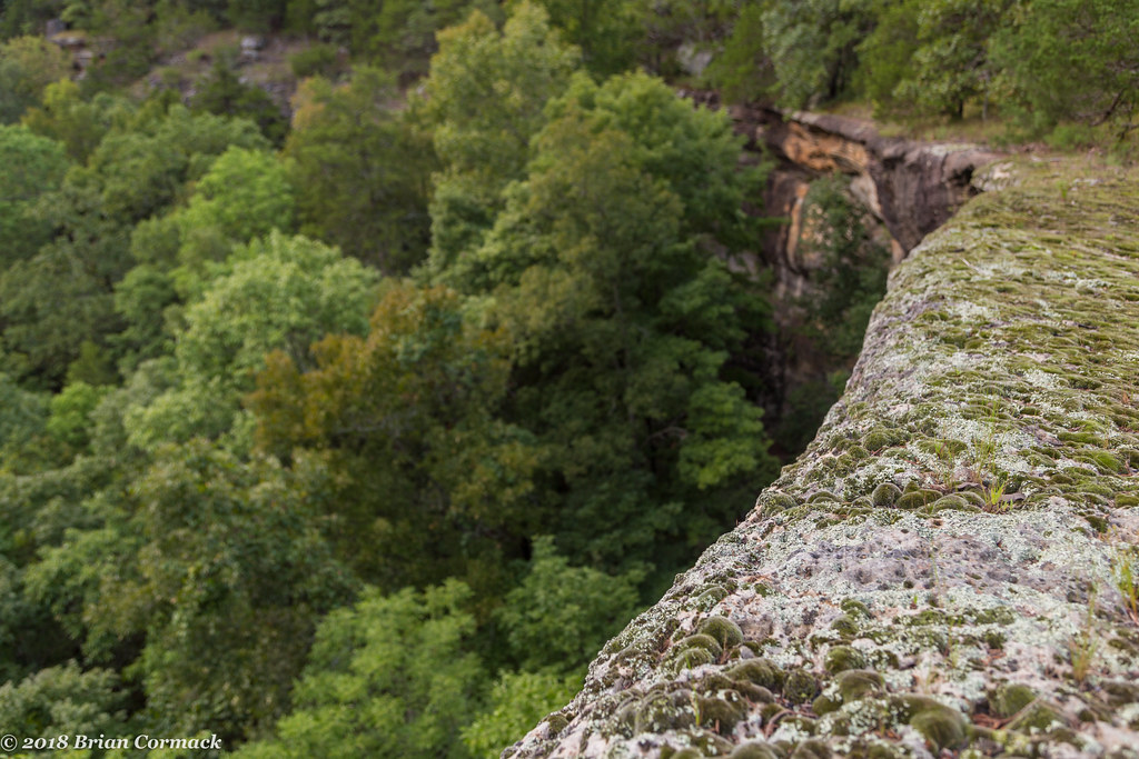
Buffalo Bluff

Buffalo River
Red Bluff

Old Railroad Bed Trail. Gilbert, Ar

Stairstep Bluff
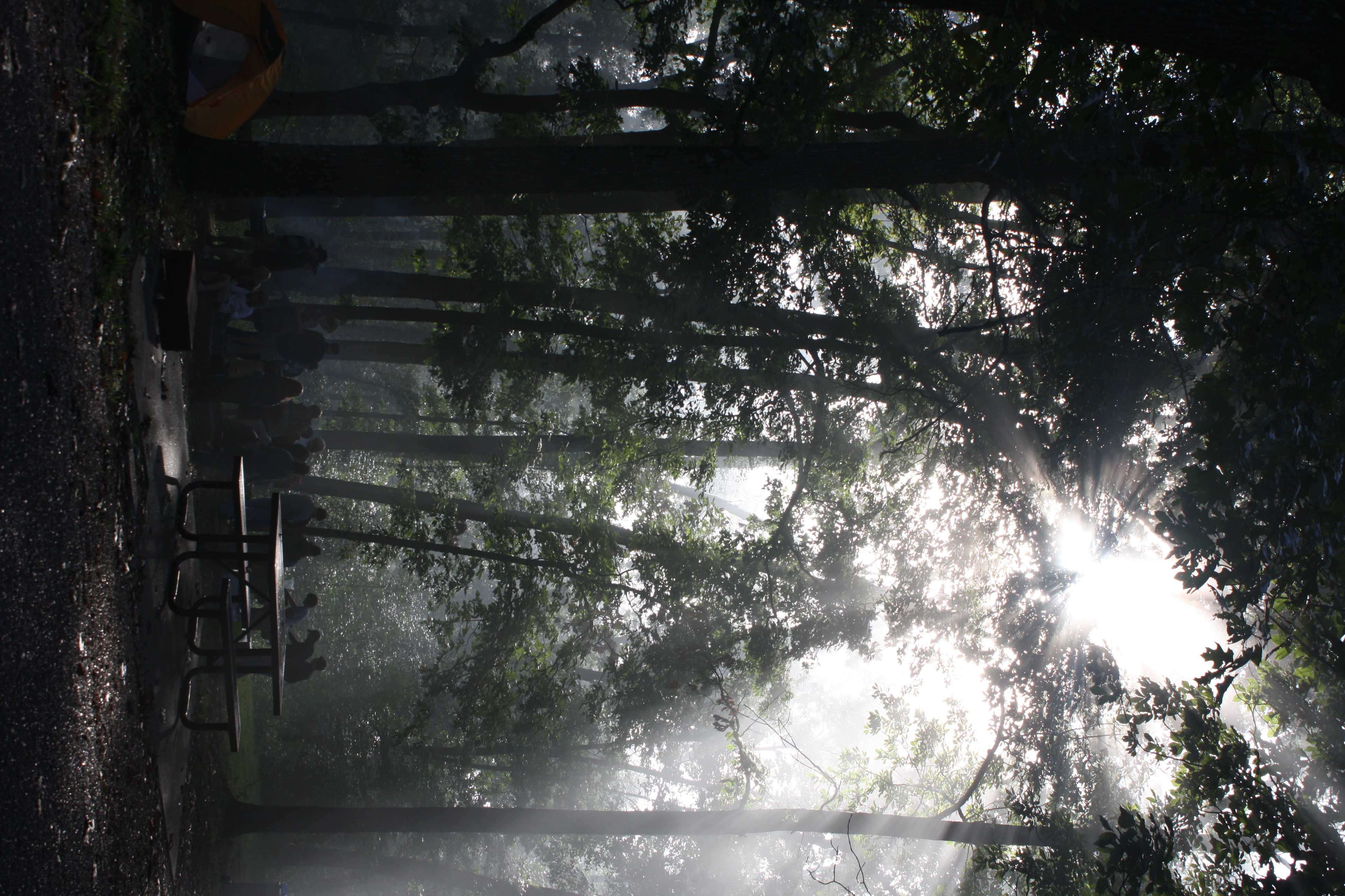
The sun's rays push through the branches

2010 SUMC Women's Retreat - Outdoors
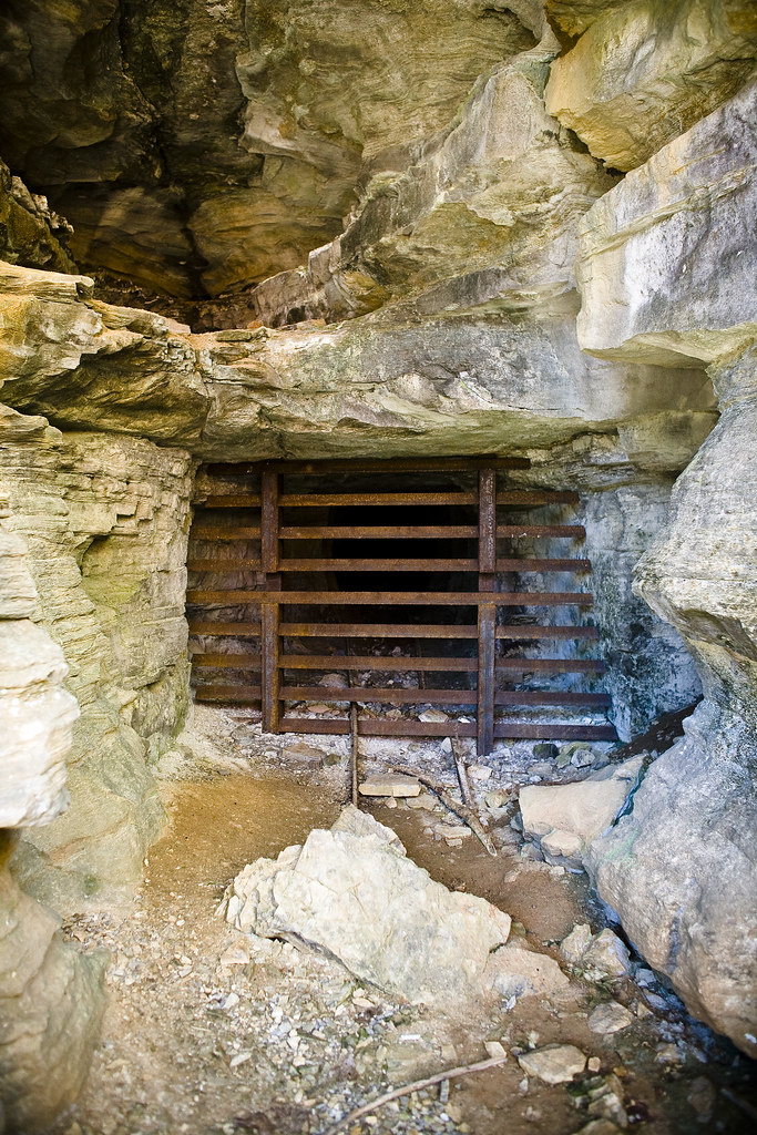
Abandoned Mine @ Rush.
Topographic Map of Old Timers Drive, Old Timers Dr, Rock Creek Township, AR, USA
Find elevation by address:

Places near Old Timers Drive, Old Timers Dr, Rock Creek Township, AR, USA:
Rock Creek Township
AR-14, Harriet, AR, USA
Harriet
De Soto Township
1044 Cozy Ln
680 Cozy Ln
778 Cozy Ln
Morning Star
Rush
298 Carpenters Trail
Mud Hollow Lane
Bear Creek No. 4 Township
Bear Creek No. 6 Township
Wandas Mountain Drive
153 Autumn Leaf Ln
100 Center St
Marshall
Center St, Marshall, AR, USA
Yokum Trail
Big Flat
Recent Searches:
- Elevation of Corso Fratelli Cairoli, 35, Macerata MC, Italy
- Elevation of Tallevast Rd, Sarasota, FL, USA
- Elevation of 4th St E, Sonoma, CA, USA
- Elevation of Black Hollow Rd, Pennsdale, PA, USA
- Elevation of Oakland Ave, Williamsport, PA, USA
- Elevation of Pedrógão Grande, Portugal
- Elevation of Klee Dr, Martinsburg, WV, USA
- Elevation of Via Roma, Pieranica CR, Italy
- Elevation of Tavkvetili Mountain, Georgia
- Elevation of Hartfords Bluff Cir, Mt Pleasant, SC, USA