Elevation of Rock Creek Road, Rock Creek Rd, California, USA
Location: United States > California > El Dorado County > Placerville >
Longitude: -120.71841
Latitude: 38.8391865
Elevation: 856m / 2808feet
Barometric Pressure: 91KPa
Elevation Map:
Satellite Map:
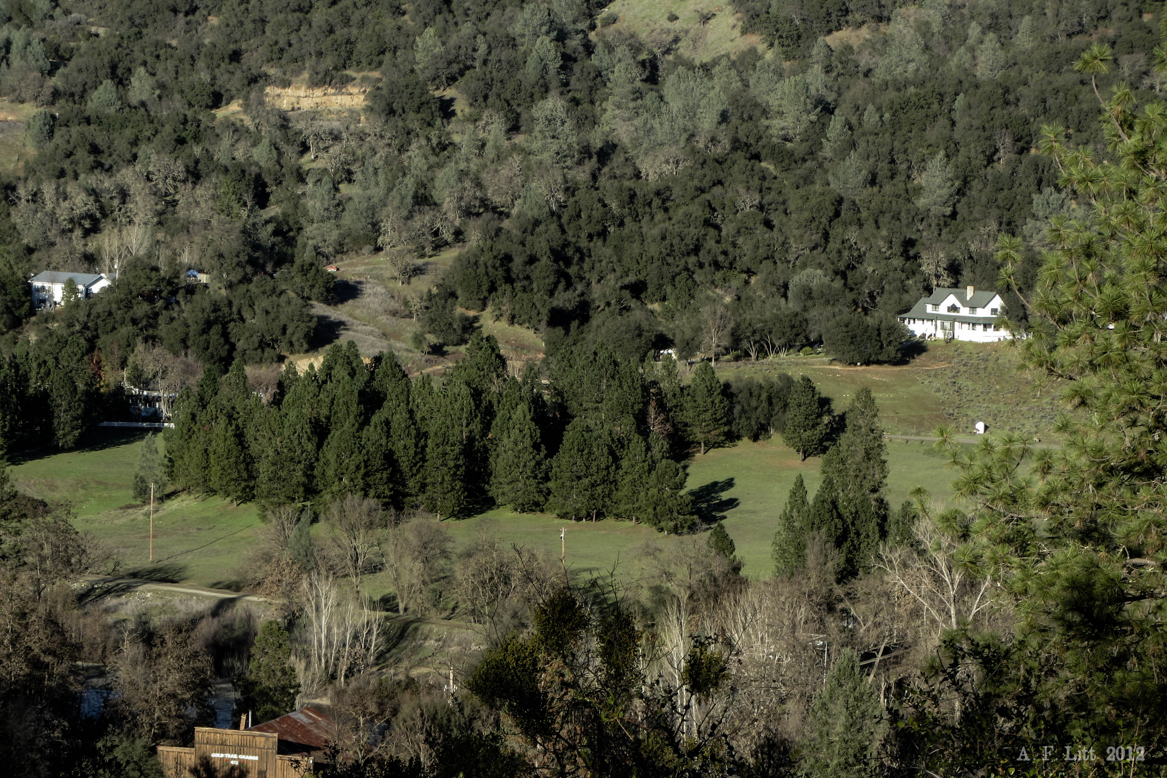
Related Photos:

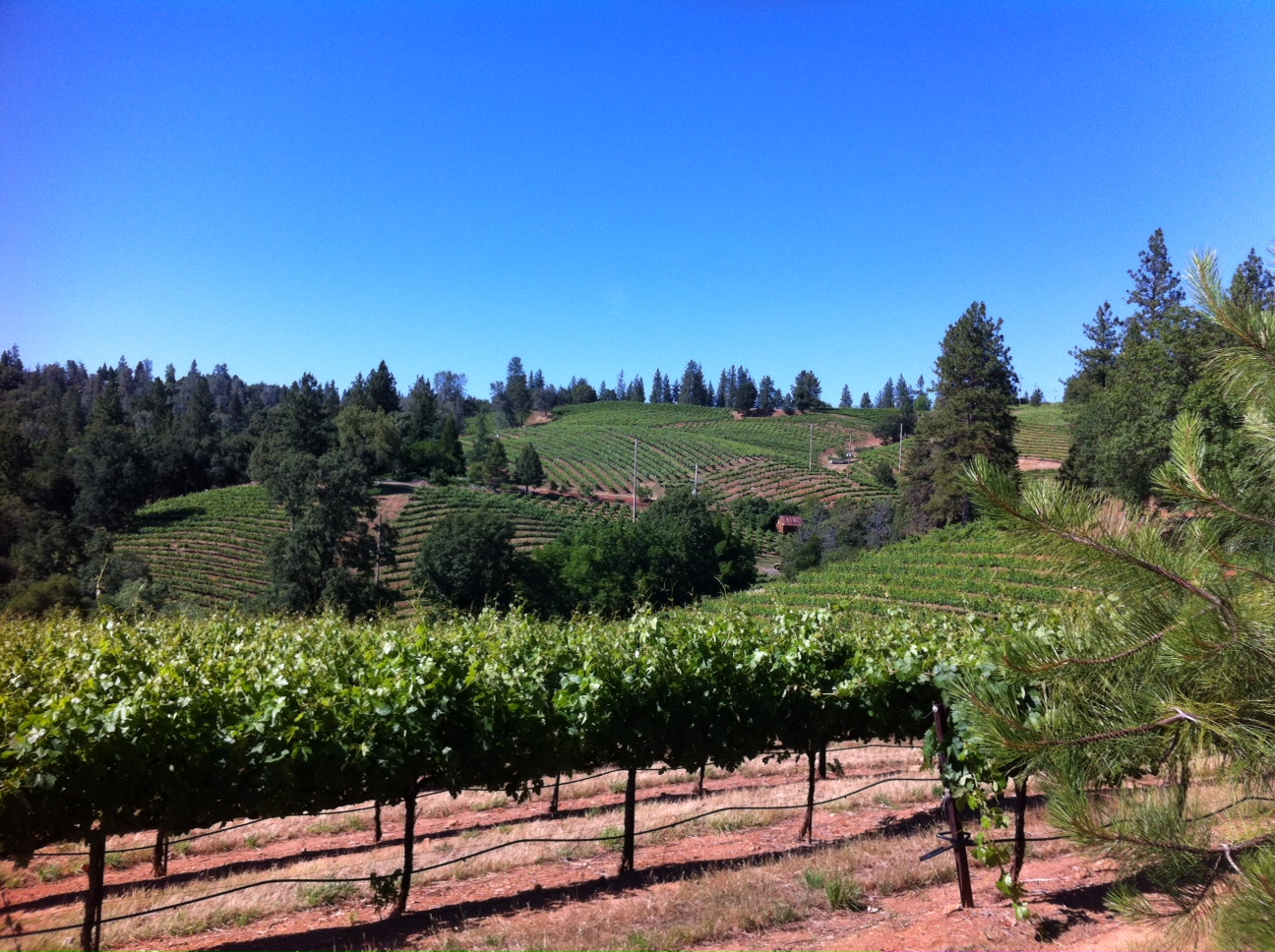
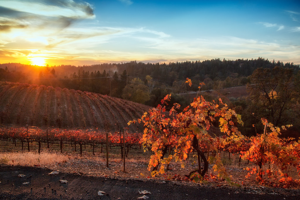
Boeger Winery sunset view
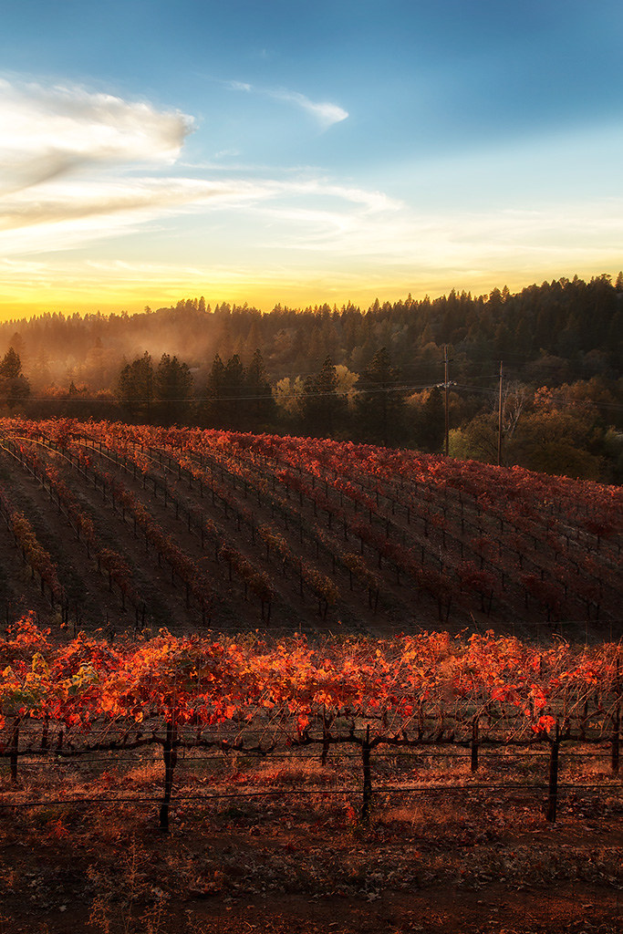
Sunset Vineyard

Apple Hill in the Rear View Mirror
Robinson's Pharmacy

Oct-11-Apple Hill-4ps
RV Camping..
Morning Services

Early Morning

Thunderclouds Over the Crest
View from James Marshal Monument. Marshal Gold Discovery State Historic Park. Coloma, California. December 20, 2012.
GVCarShow-6

Oct-11-Apple Hill-2ps
Snow Day
High Hill Ranch
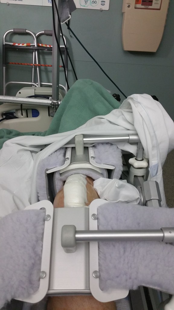
I just got a new knee, and this has been my view for the past several days
How can you not love that view
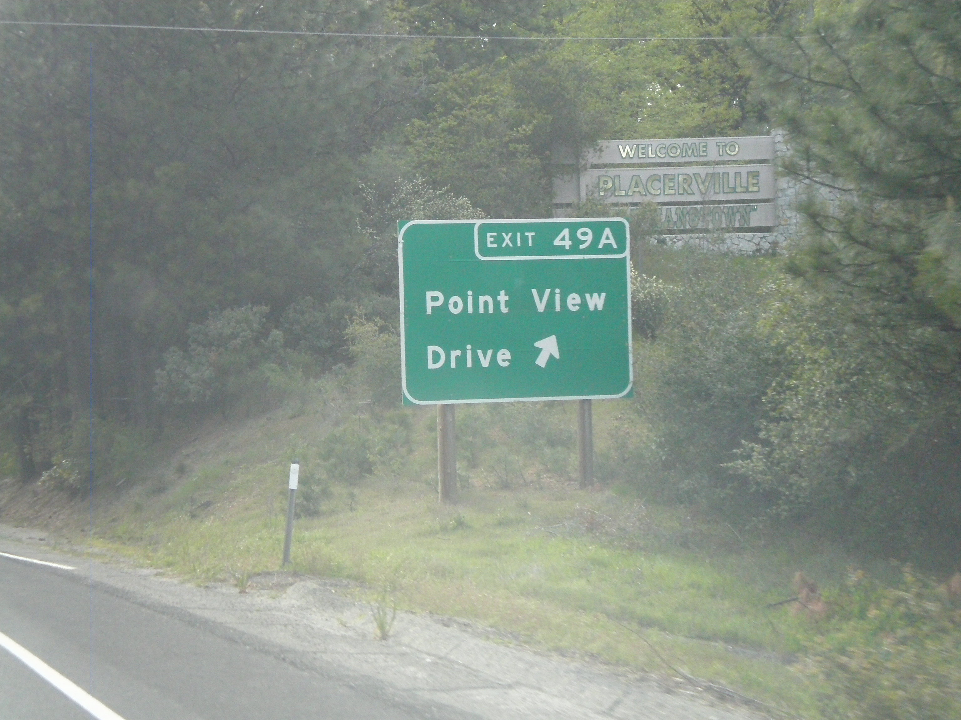
US-50 West - Exit 49A
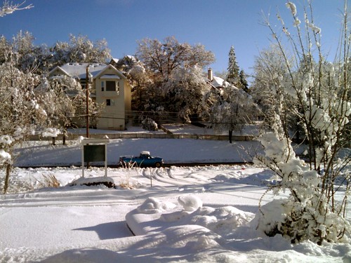
Office In The Snow
US-50 East - Exit 49
I just got a new knee, and this has been my view for the past several days
snowy view
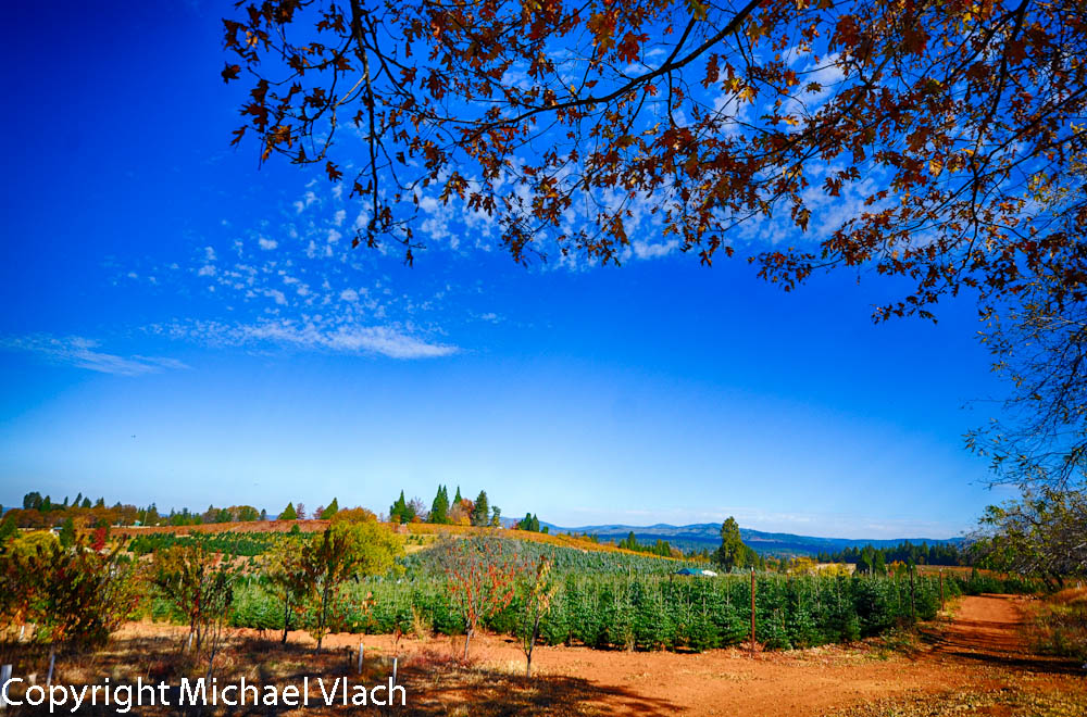
Boeger Winery in the Fall
Fall vineyard sunset
Sunset Vineyard
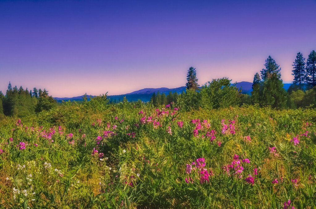
Sweet Peas and the Coming of Summer
untitled047-27.jpg
Iowa Creek
Apple Tree Sunset 5

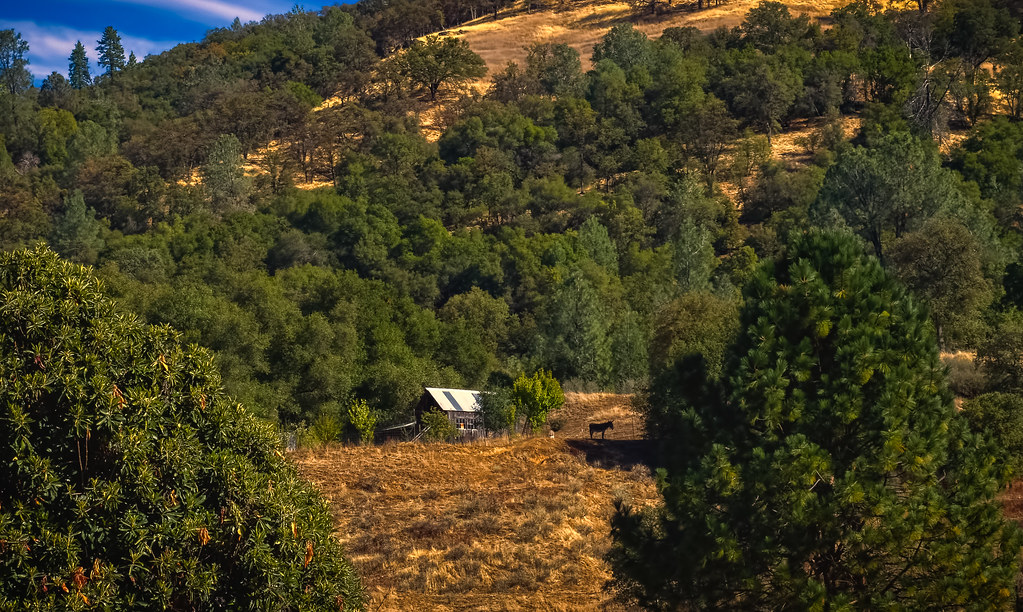
Audubon Hills Camino CA.
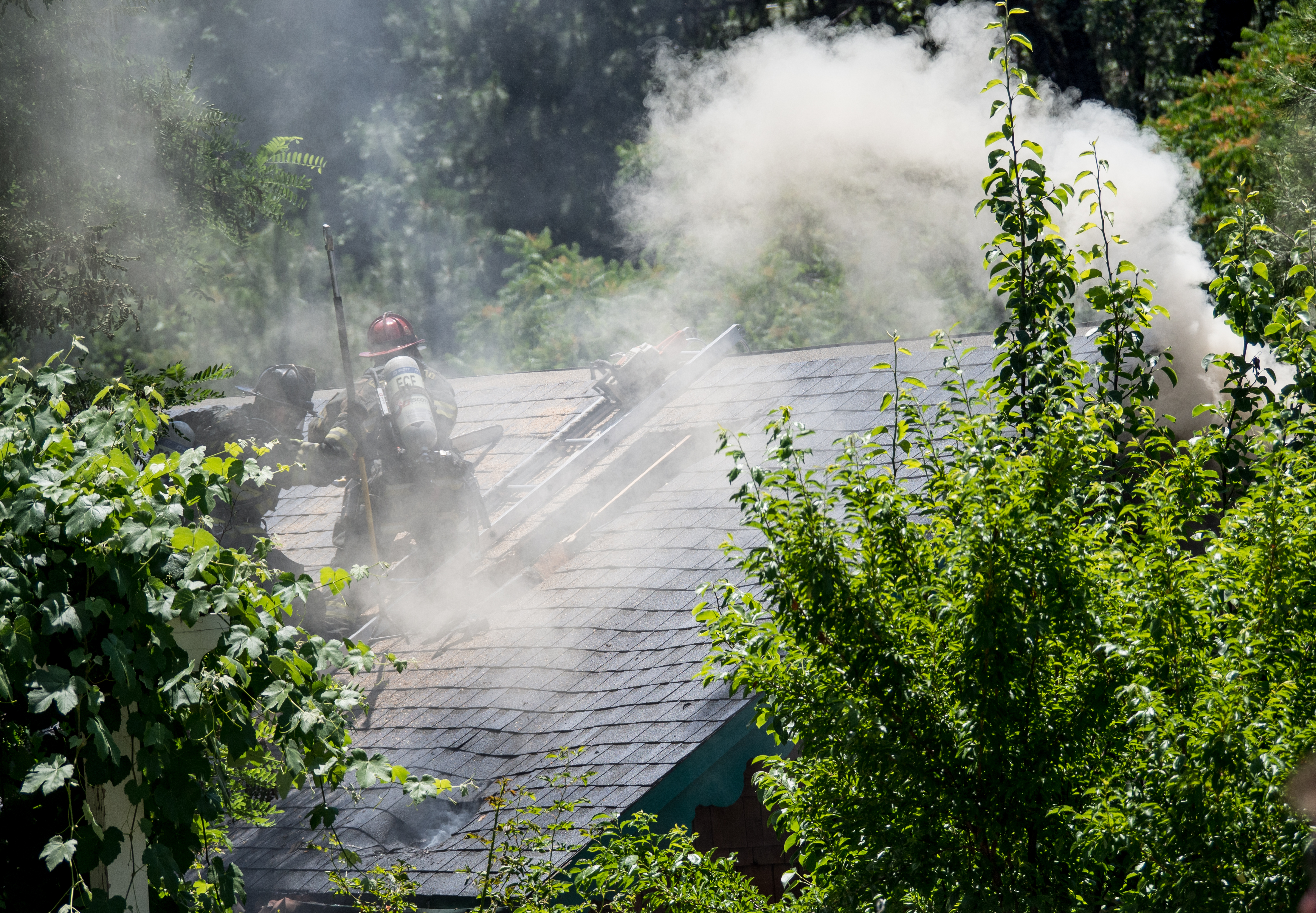
King Fire Western Edge 0423
#lavacapwinery #scenic #landscape #vineyards #grapevines #hillside
Apple Hill

Boeger Winery pond
Forty Acres and a Mule
the fog

American River Canyon
Audubon Hills Camino CA.
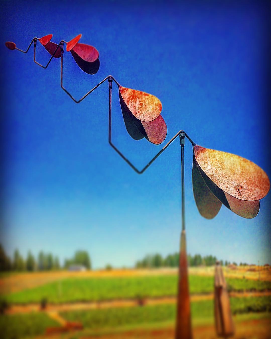
#lavacapwinery #sculpture #kinetic #scenic #landscape #art #photoart

#vineyard #landscape #sky #green #patterns #horizon
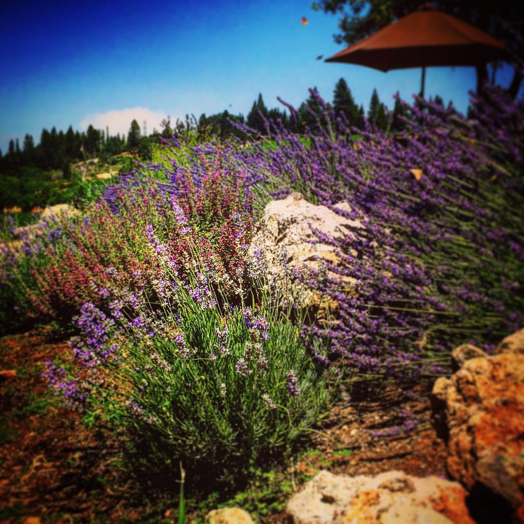
#lavacapwinery #winery #lavender #flowers #vineyard #scenic #landscape #colors
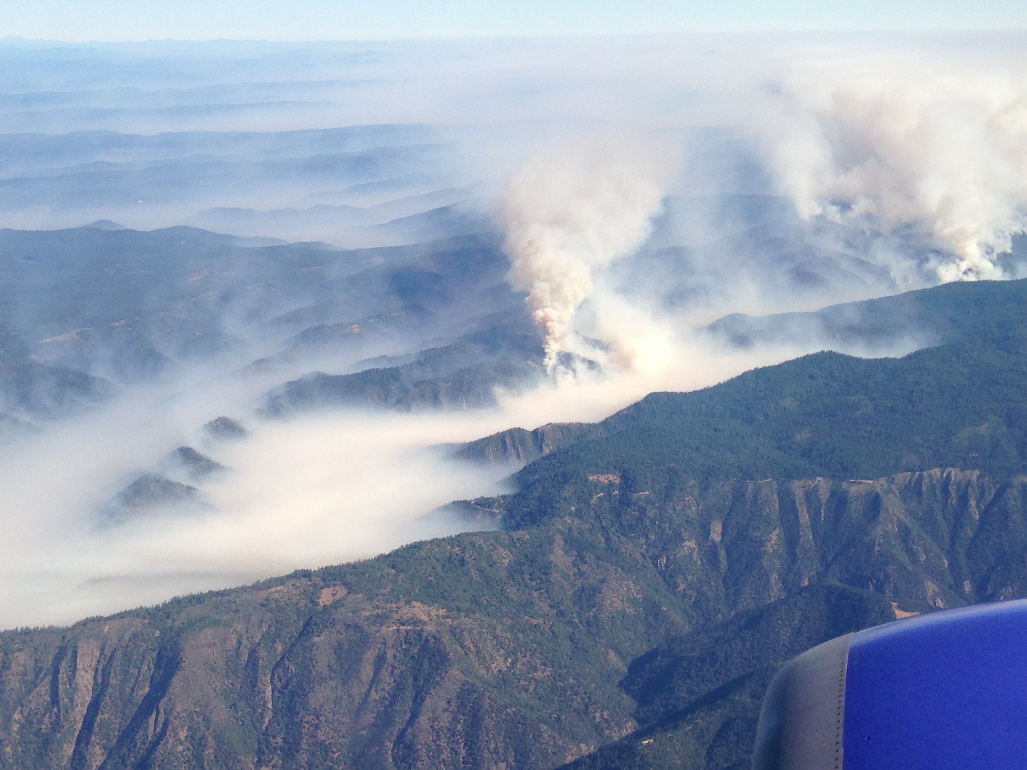
Southwest Airlines' flight from Las Vegas today flew over the American Fire. Image: Bill Roush
Topographic Map of Rock Creek Road, Rock Creek Rd, California, USA
Find elevation by address:

Places near Rock Creek Road, Rock Creek Rd, California, USA:
6561 Highgrade Ct
Highgrade Street
Lupine Lane
3044 Highgrade St
6696 Mosquito Rd
Swansboro Country Airport
3212 Running Quail Ct
2764 Dyer Way
2764 Dyer Way
2778 Buckboard Rd
2600 Immerville Dr
Finnon Lake Campground
2835 Lawyer Dr
9100 Rock Creek Rd
7031 Mosquito Rd
3822 Dogwood Ln
3020 Cableview Ct
3020 Cableview Ct
6500 Bear Creek Rd
6361 Bear Creek Rd
Recent Searches:
- Elevation of Corso Fratelli Cairoli, 35, Macerata MC, Italy
- Elevation of Tallevast Rd, Sarasota, FL, USA
- Elevation of 4th St E, Sonoma, CA, USA
- Elevation of Black Hollow Rd, Pennsdale, PA, USA
- Elevation of Oakland Ave, Williamsport, PA, USA
- Elevation of Pedrógão Grande, Portugal
- Elevation of Klee Dr, Martinsburg, WV, USA
- Elevation of Via Roma, Pieranica CR, Italy
- Elevation of Tavkvetili Mountain, Georgia
- Elevation of Hartfords Bluff Cir, Mt Pleasant, SC, USA