Elevation of Mosquito Rd, Placerville, CA, USA
Longitude: -120.72720
Latitude: 38.7986068
Elevation: 788m / 2585feet
Barometric Pressure: 92KPa
Elevation Map:
Satellite Map:
Related Photos:

It’s that kind of day
Caldor-Wildfire_2297

Caldor-WildFire_2305

Caldor-WildFire_2280

Sunset Vineyard

Boeger Winery sunset view

Apple Hill in the Rear View Mirror

Trail of Stars
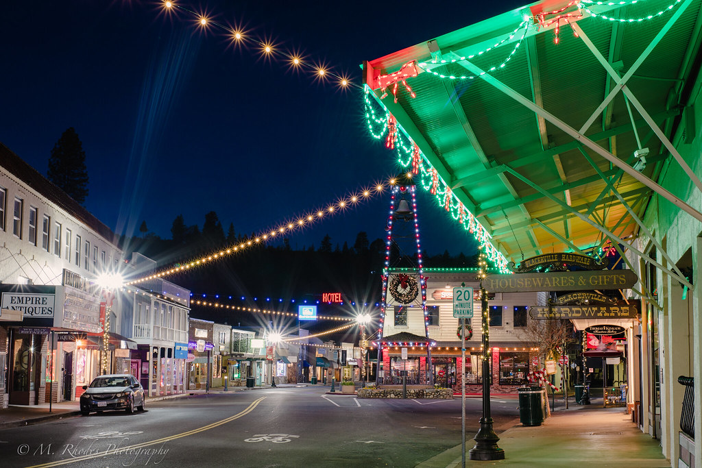
Early morning in Old Hangtown

Oct-11-Apple Hill-4ps

RV Camping..

River View

#HappyHolidays #HappyThanksGiving
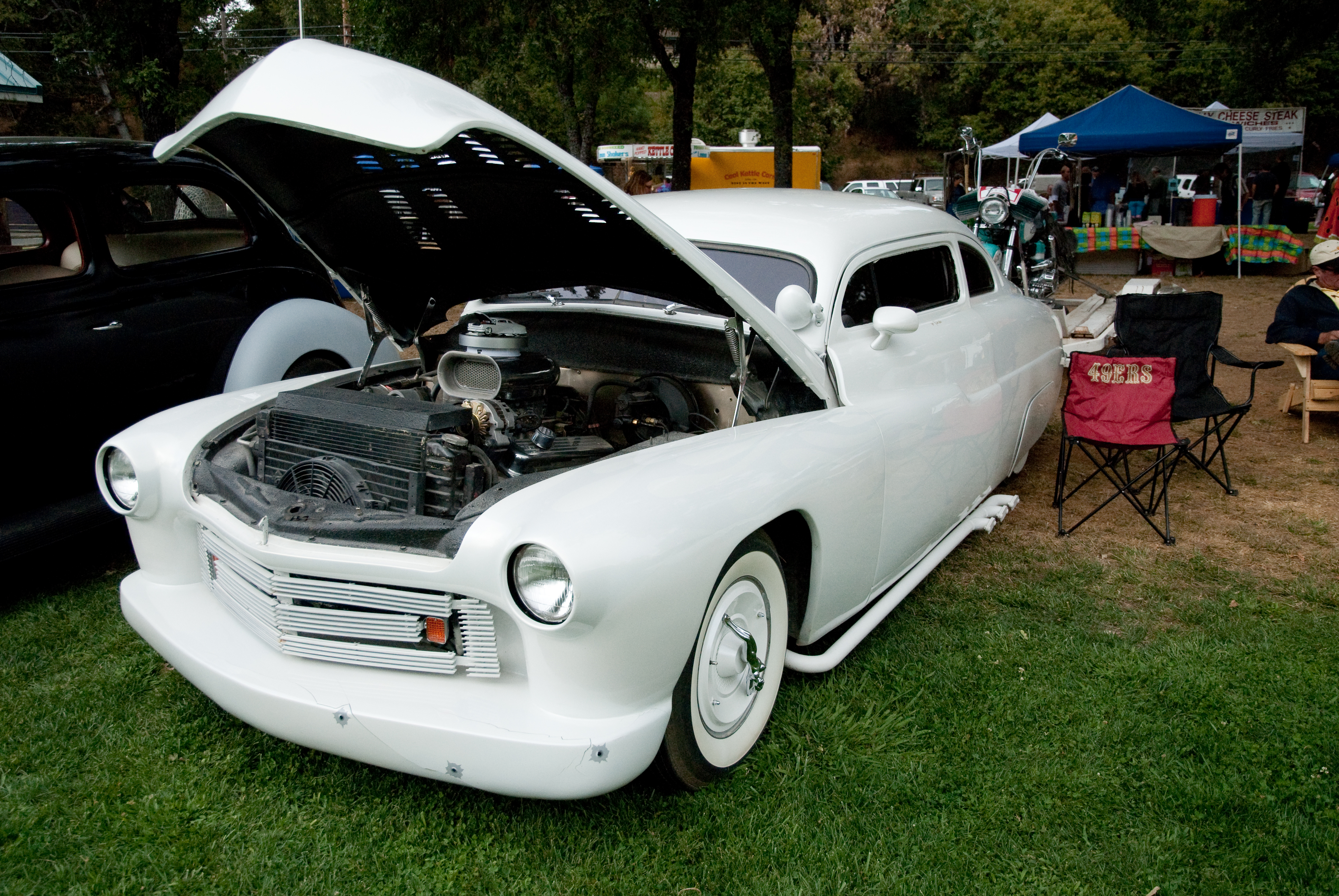
GVCarShow-6

Bending the eye bolt

Marshall Gold Discovery State Historic Park
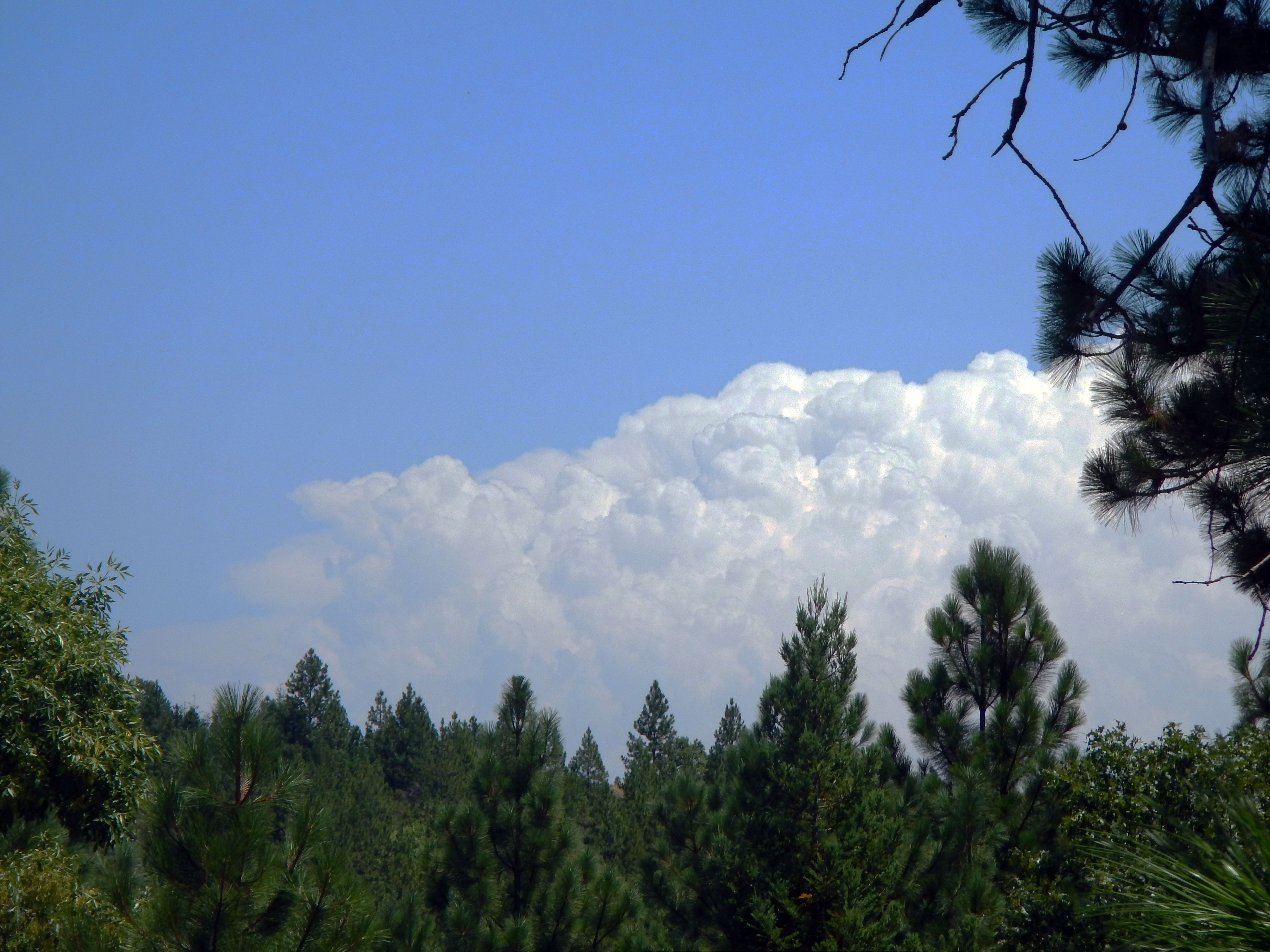
Thunderclouds Over the Crest

View from James Marshal Monument. Marshal Gold Discovery State Historic Park. Coloma, California. December 20, 2012.

Road to the Clouds

SHP Complex Gold Co.

Dark Thunderclouds

Spring Time in Coloma (HFF)

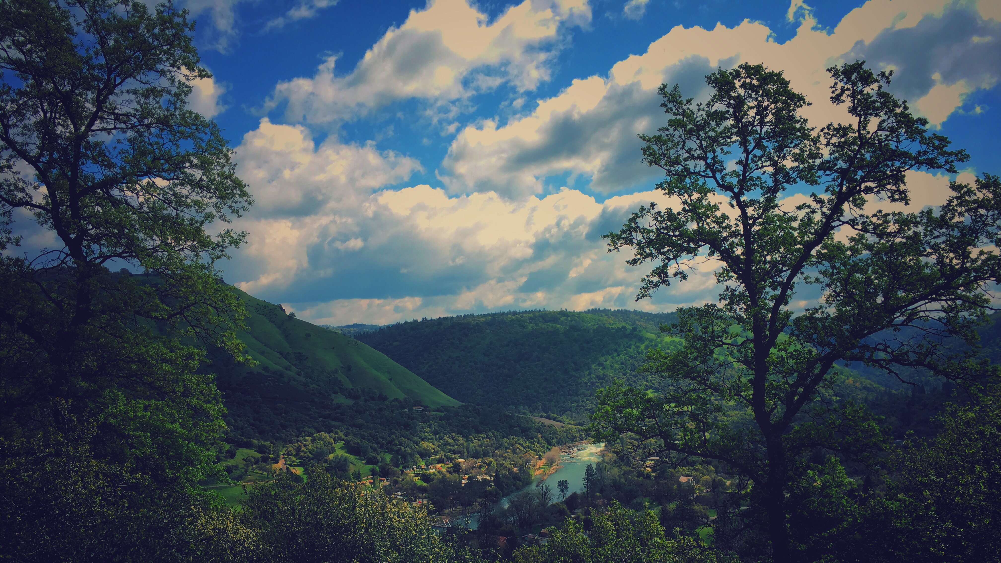
South Fork American River

South Fork American at Coloma

Barn and house on Prospector Road
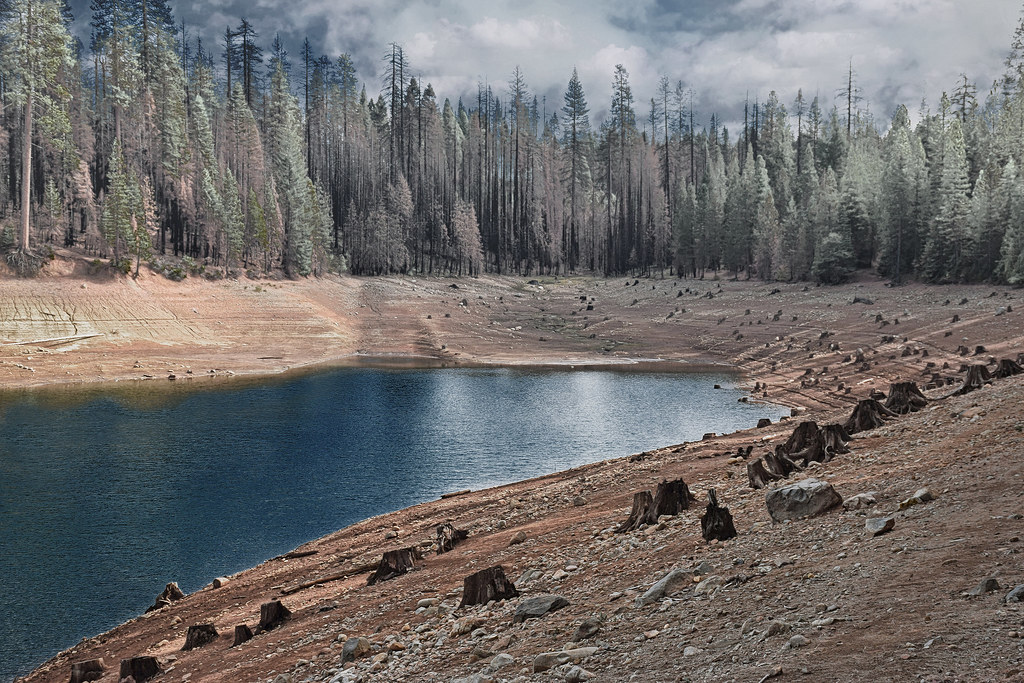
Stumpy Meadows Reservoir

A Quiet Spot on the American River
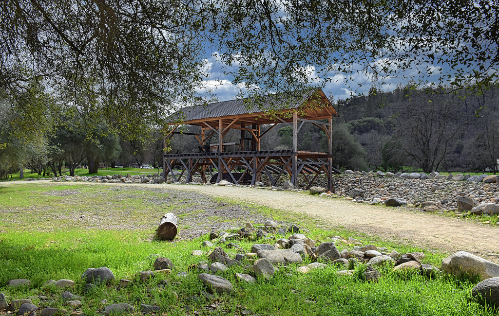
Sutter's Mill Replica

Stumpy Meadows Reservoir spillway
finding gold in the valley of Coloma

Apple Hill

Stormy Sunset in Pleasant Valley

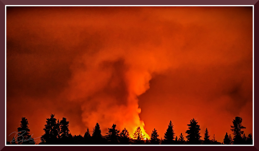
Hell in our backyard

snowy day

Stumpy Meadows

land of milk and honey

King Fire Western Edge 0423

Sutter's Mill, Coloma, California Gold Rush Historic Site

Marshall Gold Discovery State Historic Park

Boeger Winery in the Fall
Topographic Map of Mosquito Rd, Placerville, CA, USA
Find elevation by address:

Places near Mosquito Rd, Placerville, CA, USA:
Swansboro Country Airport
2764 Dyer Way
2764 Dyer Way
2778 Buckboard Rd
3044 Highgrade St
6561 Highgrade Ct
2600 Immerville Dr
Highgrade Street
7031 Mosquito Rd
2835 Lawyer Dr
7040 Triple R Rd
7000 Triple R Rd
Lupine Lane
Finnon Lake Campground
9100 Rock Creek Rd
3822 Dogwood Ln
3212 Running Quail Ct
2801 Darr Ct
9481 Rock Creek Rd
3020 Cableview Ct
Recent Searches:
- Elevation of Corso Fratelli Cairoli, 35, Macerata MC, Italy
- Elevation of Tallevast Rd, Sarasota, FL, USA
- Elevation of 4th St E, Sonoma, CA, USA
- Elevation of Black Hollow Rd, Pennsdale, PA, USA
- Elevation of Oakland Ave, Williamsport, PA, USA
- Elevation of Pedrógão Grande, Portugal
- Elevation of Klee Dr, Martinsburg, WV, USA
- Elevation of Via Roma, Pieranica CR, Italy
- Elevation of Tavkvetili Mountain, Georgia
- Elevation of Hartfords Bluff Cir, Mt Pleasant, SC, USA