Elevation of Robbinsville, NC, USA
Location: United States > North Carolina > Graham County > Cheoah >
Longitude: -83.807399
Latitude: 35.322866
Elevation: 623m / 2044feet
Barometric Pressure: 94KPa
Elevation Map:
Satellite Map:
Related Photos:
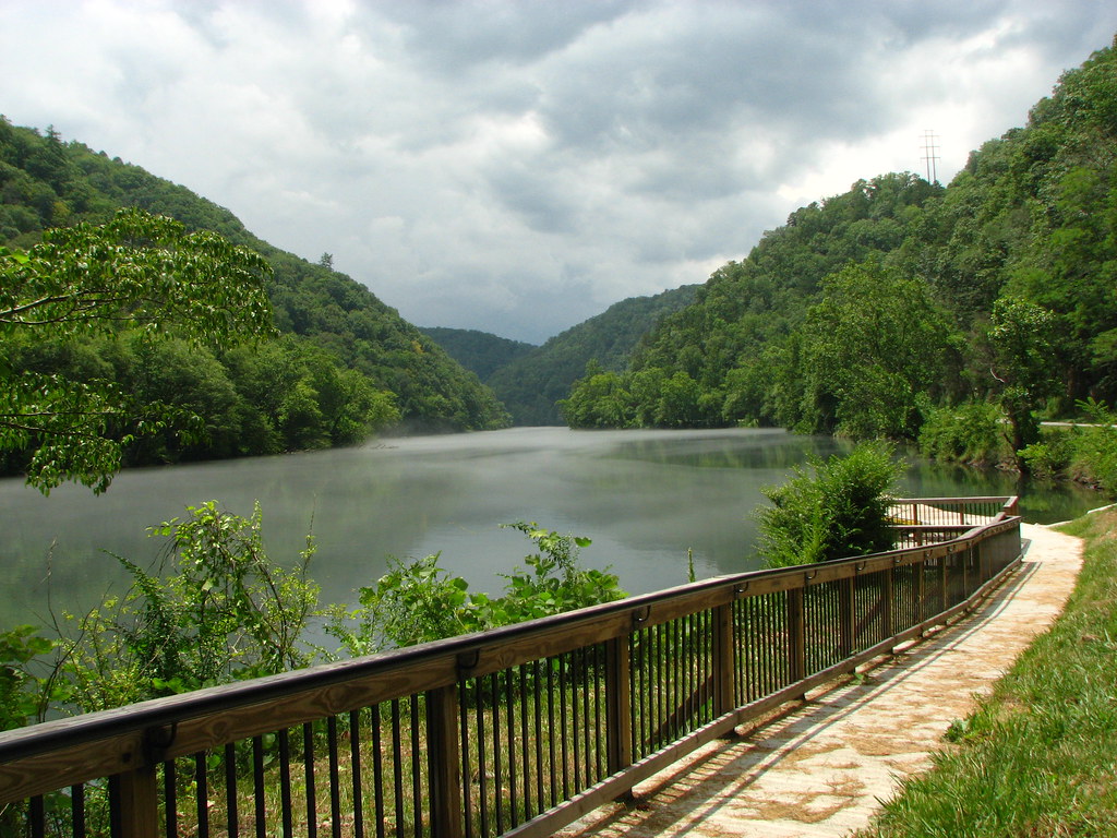
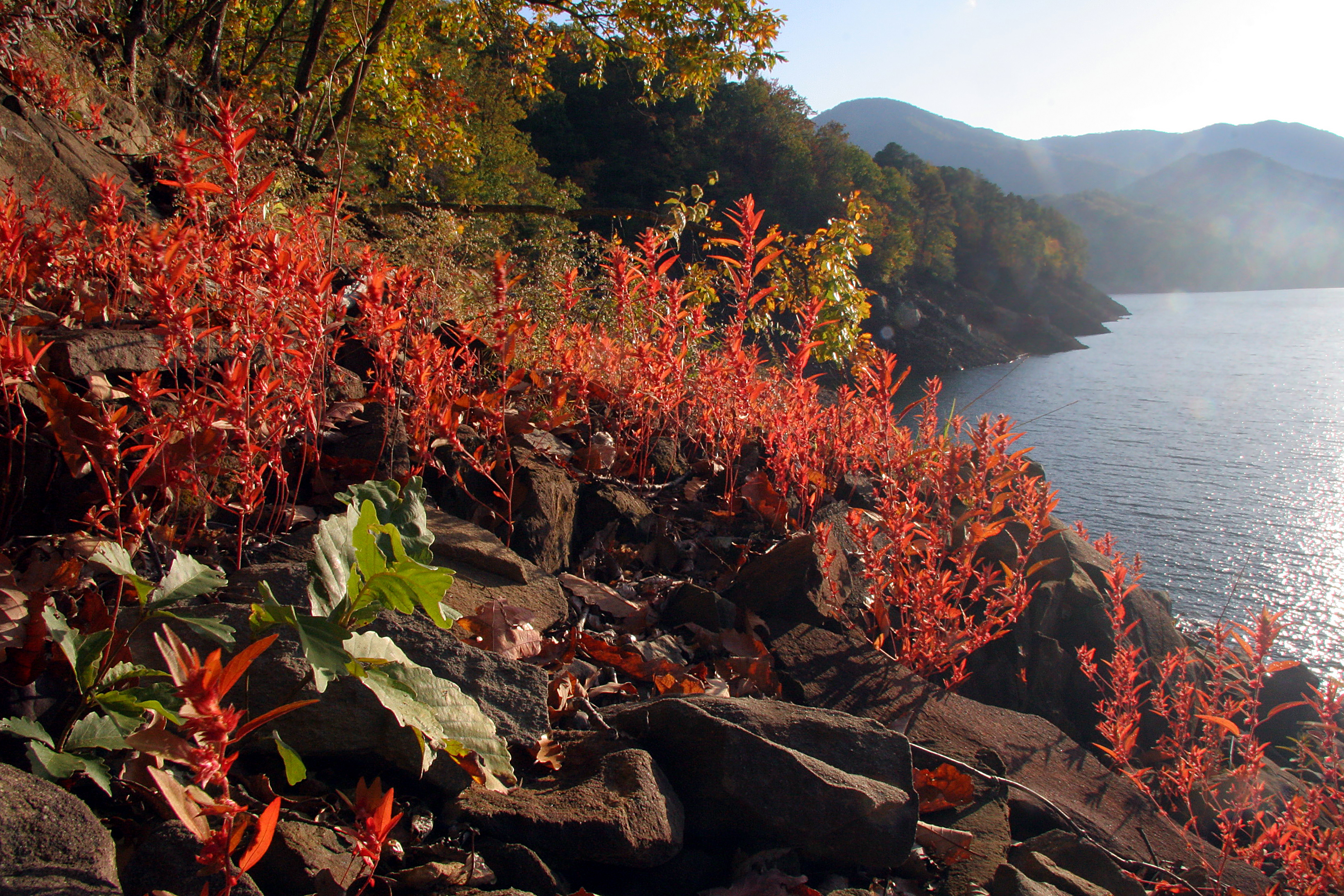
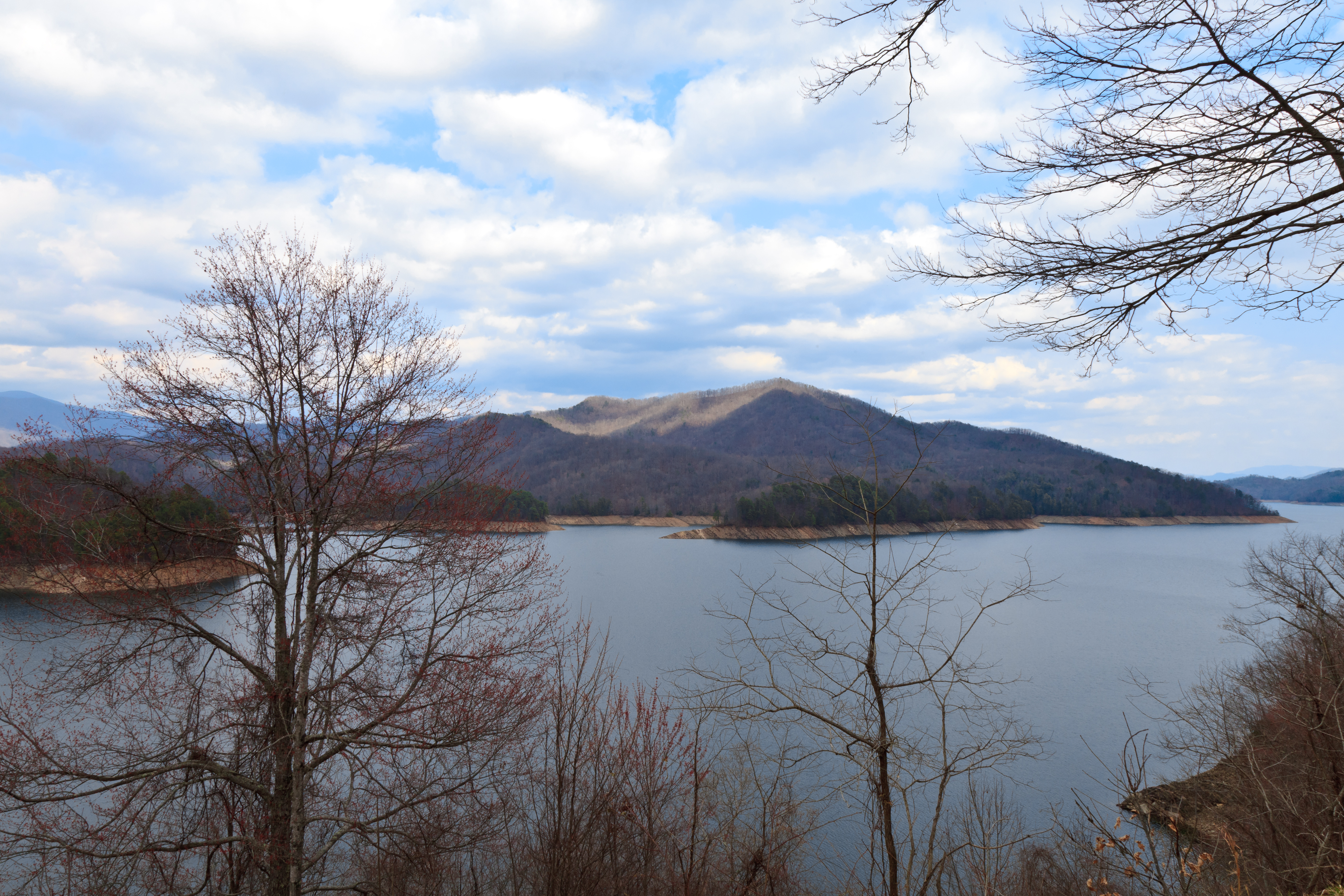
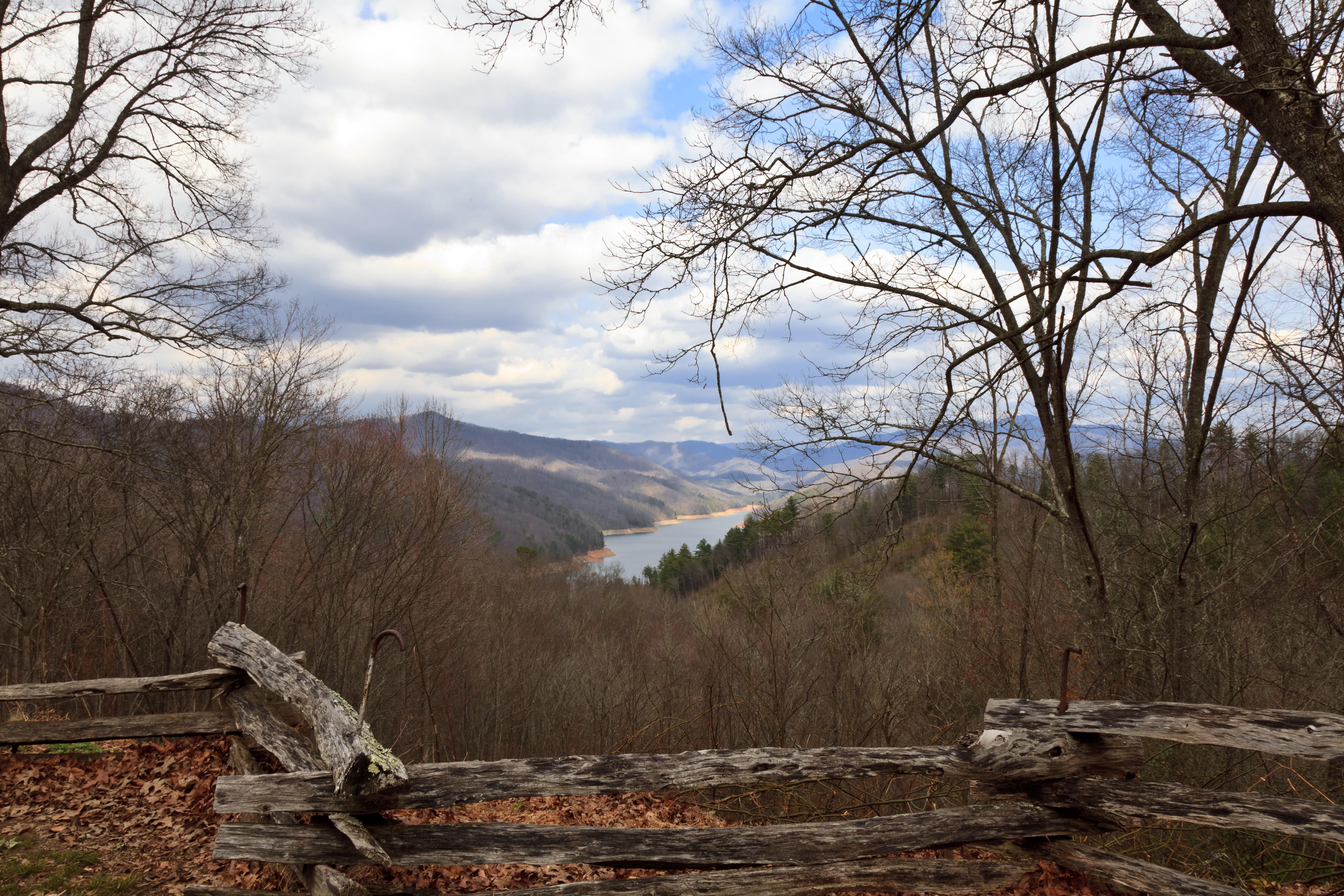
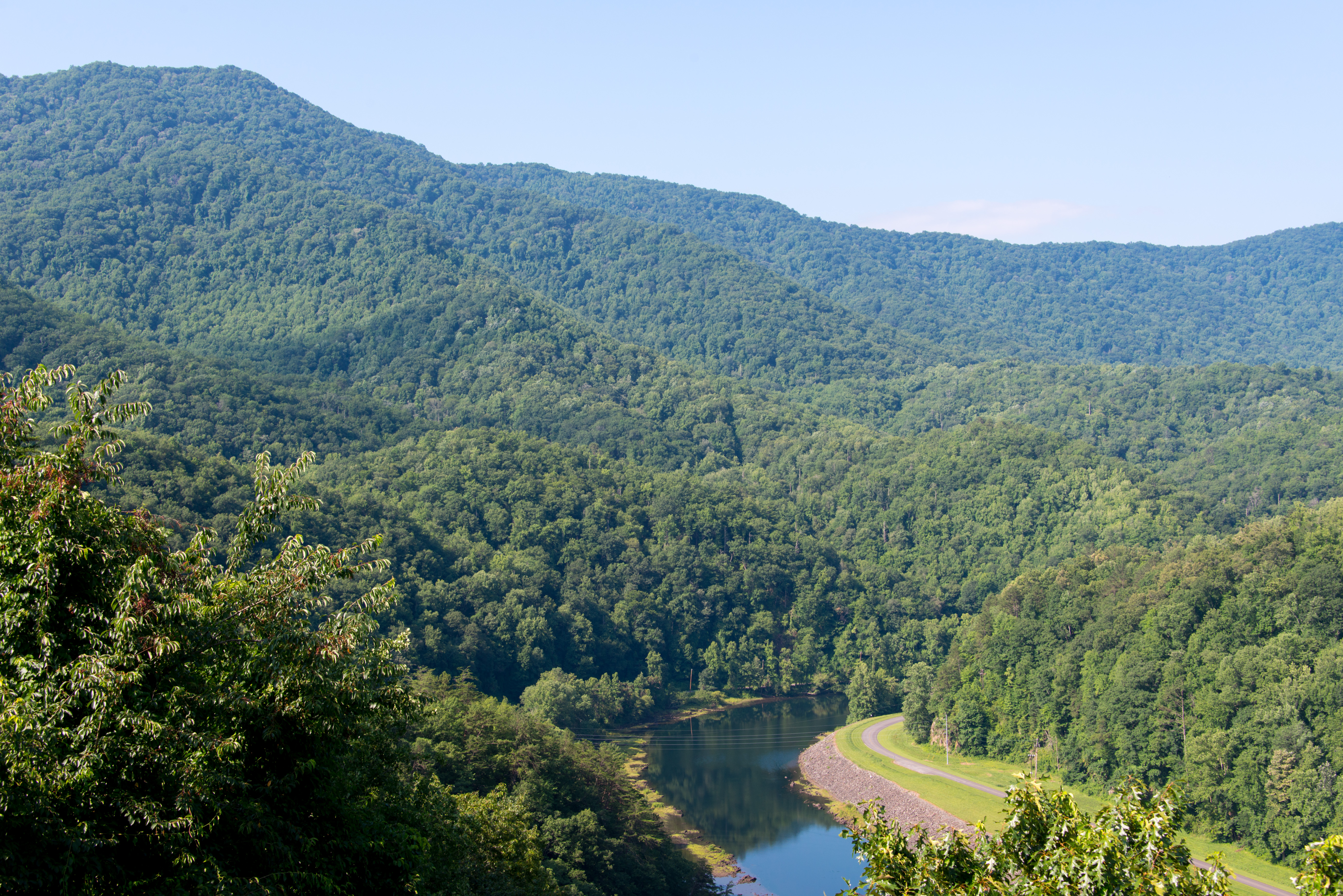
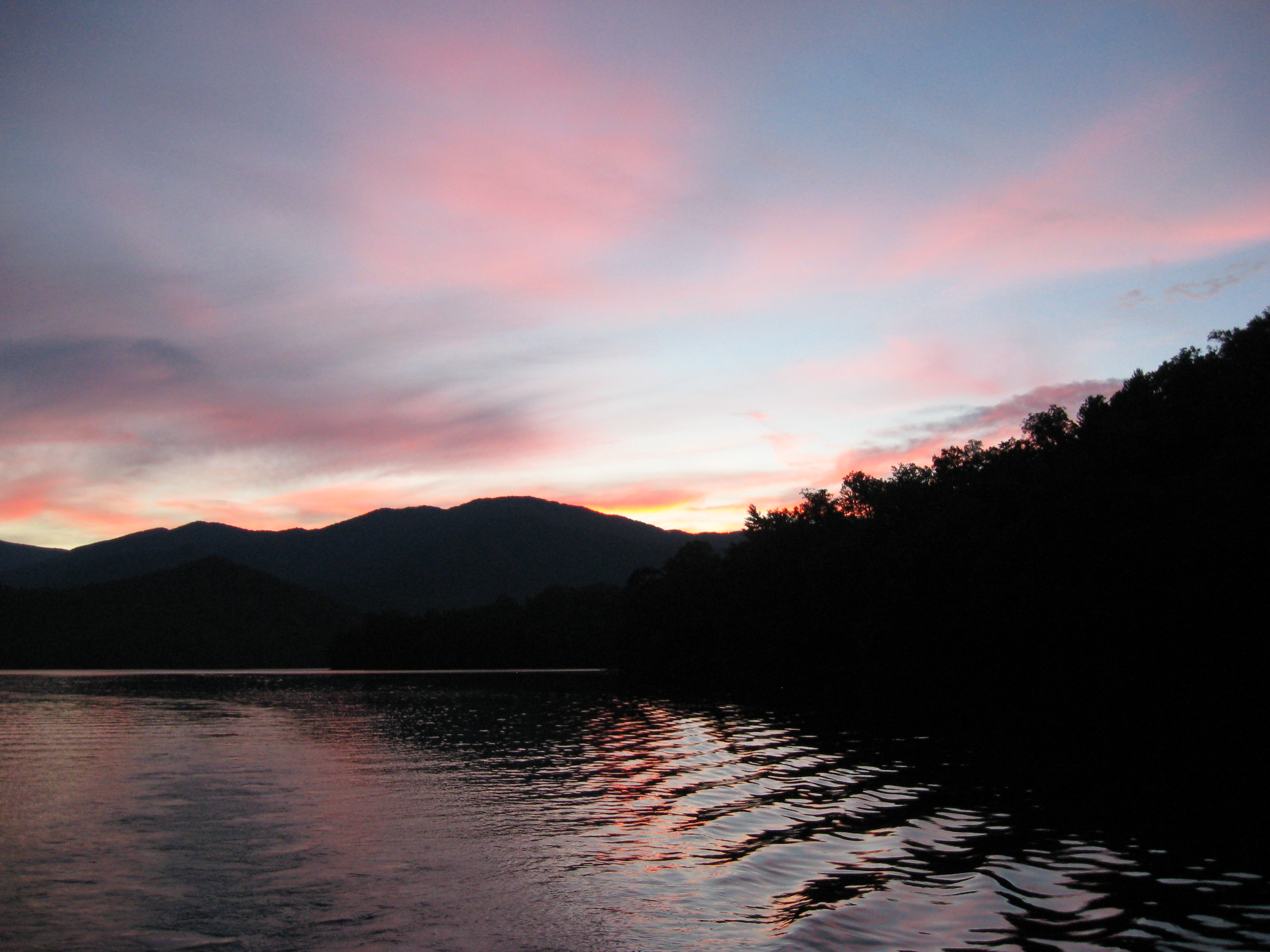
View of the Little Tennessee River
GSMNP Backpack Day 6 - June 28, 2014 - View Downstream of Fontana Dam

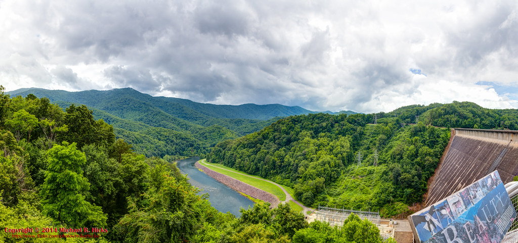
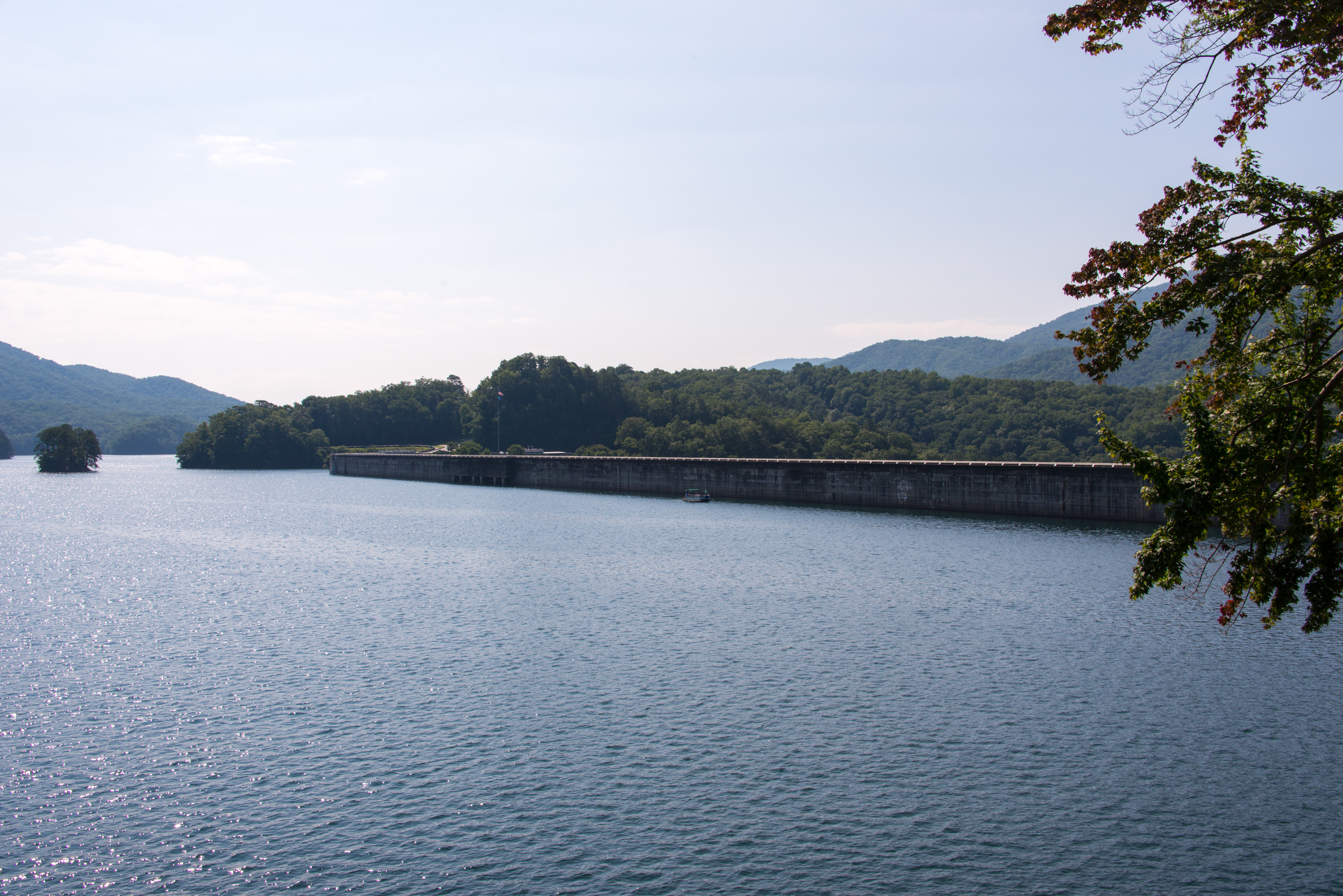
View from the Dam
Back to the Smokies in 33 days and counting
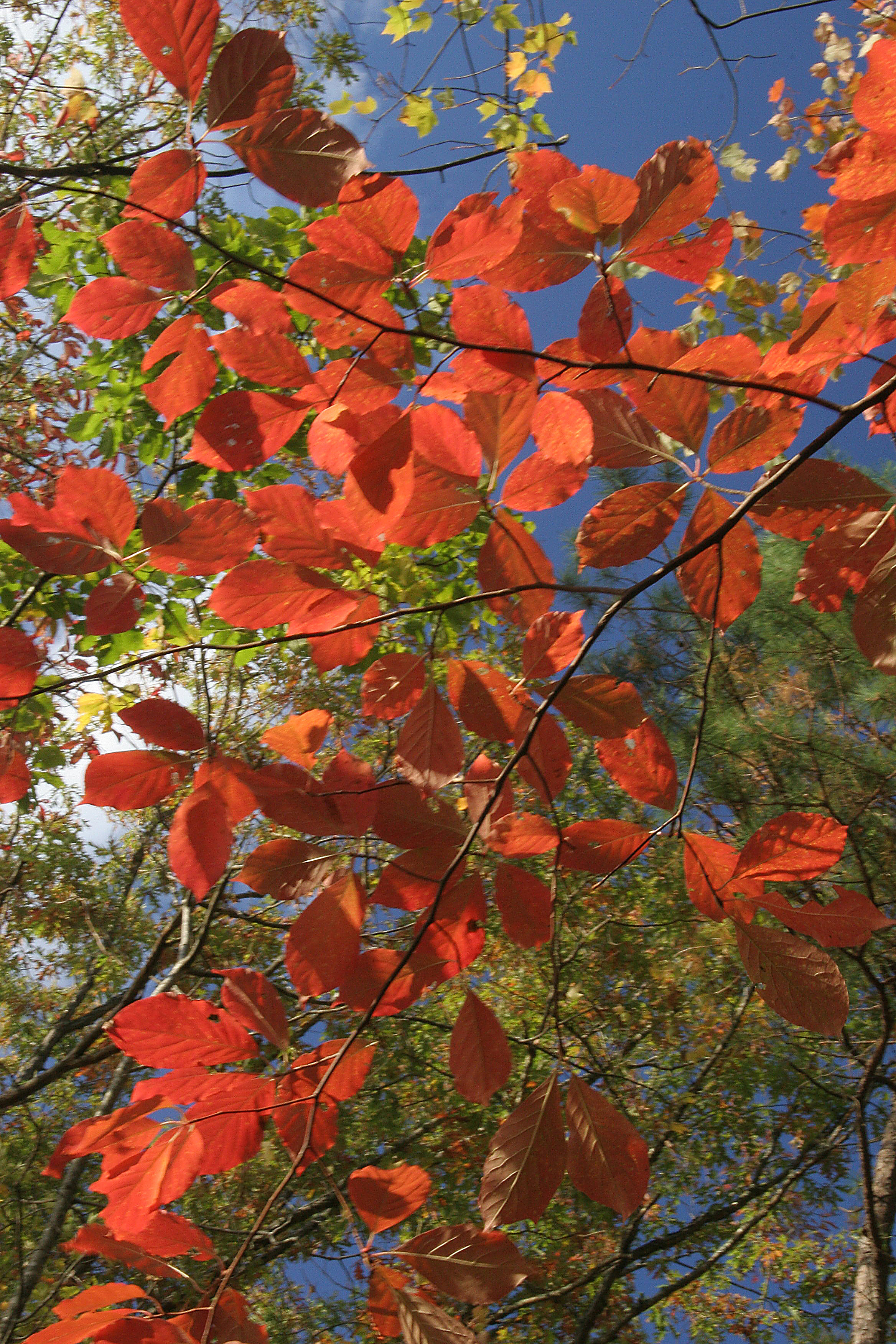
Where the Paths Parted
view from camp
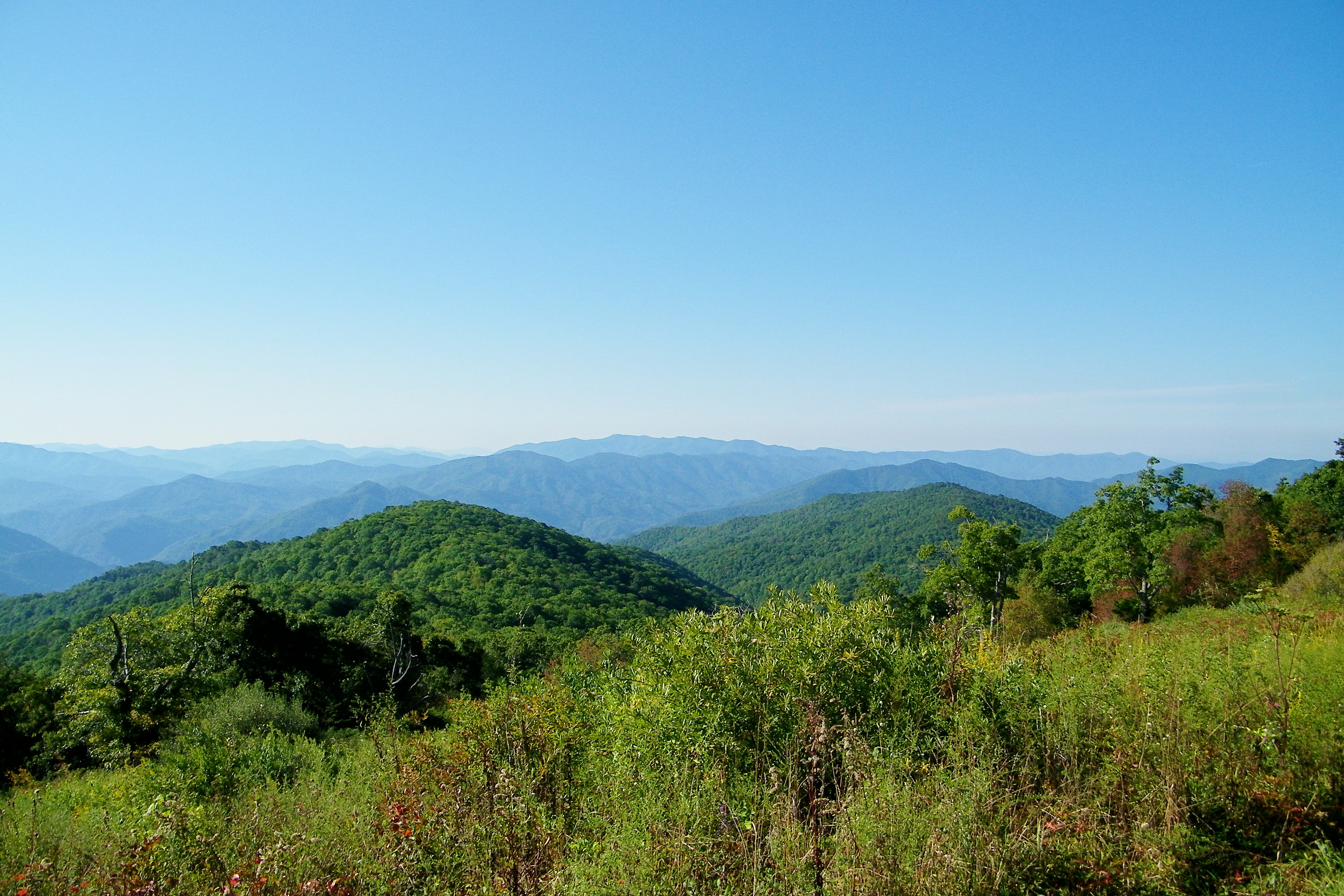
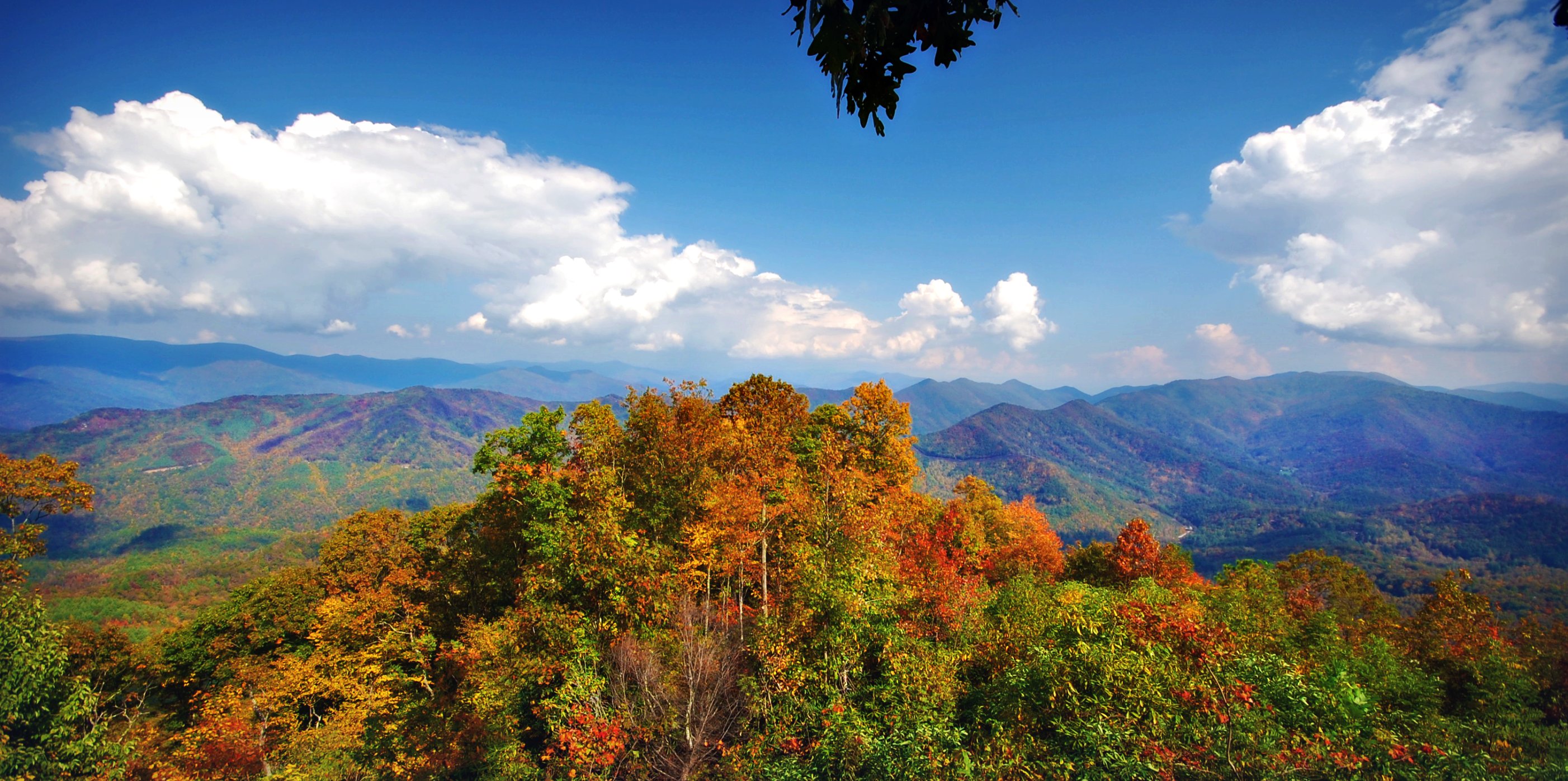
Cheoah Bald
smoky mountains

Smokies-20110311-214.jpg
140706-3175 Fontana Dam

fontana view
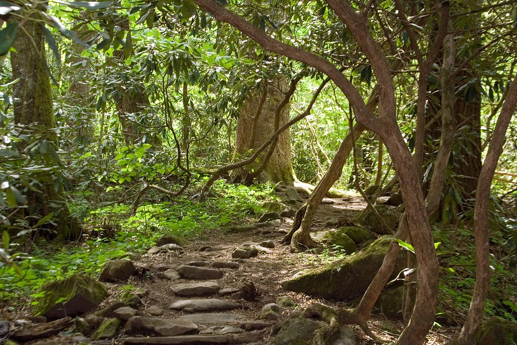
the sylvan way
view up
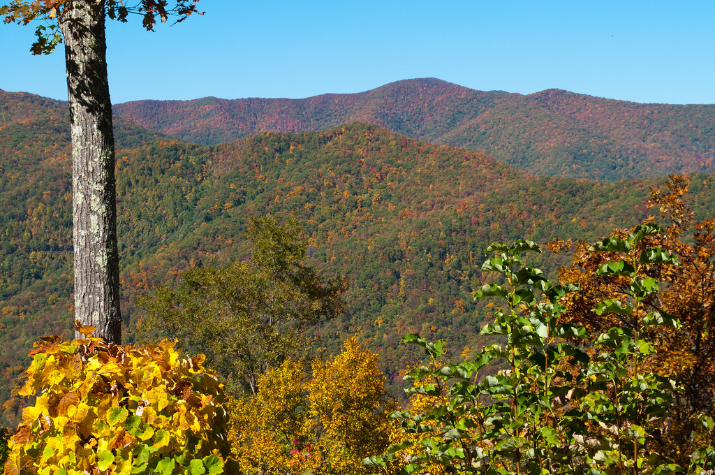
View from Cheoah Bald
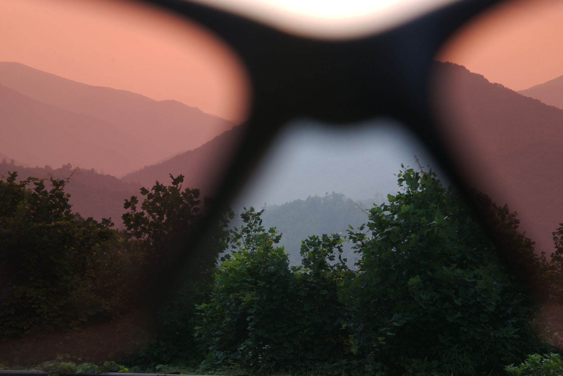
rosy filter
Smokies-20110311-220.jpg

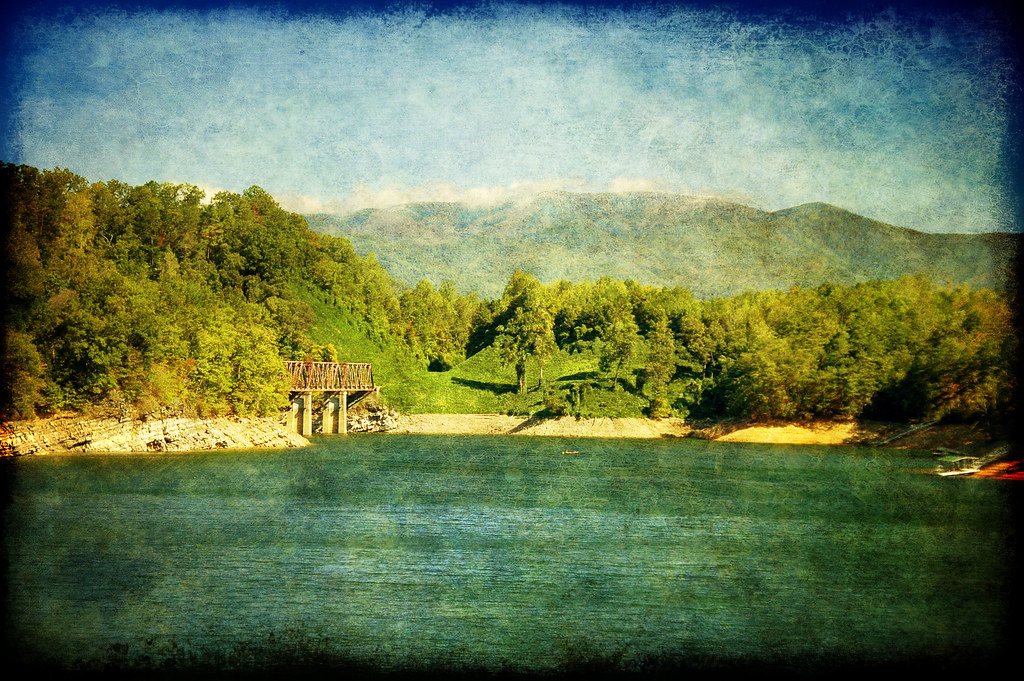
a view from a bridge
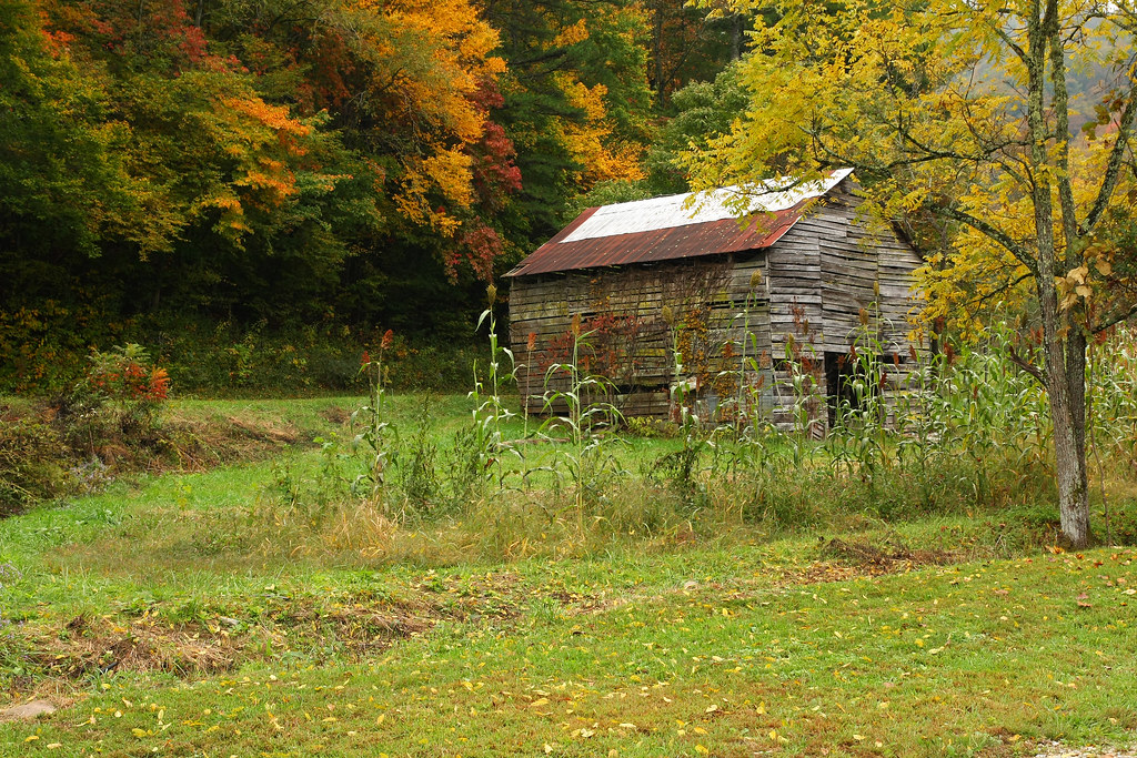
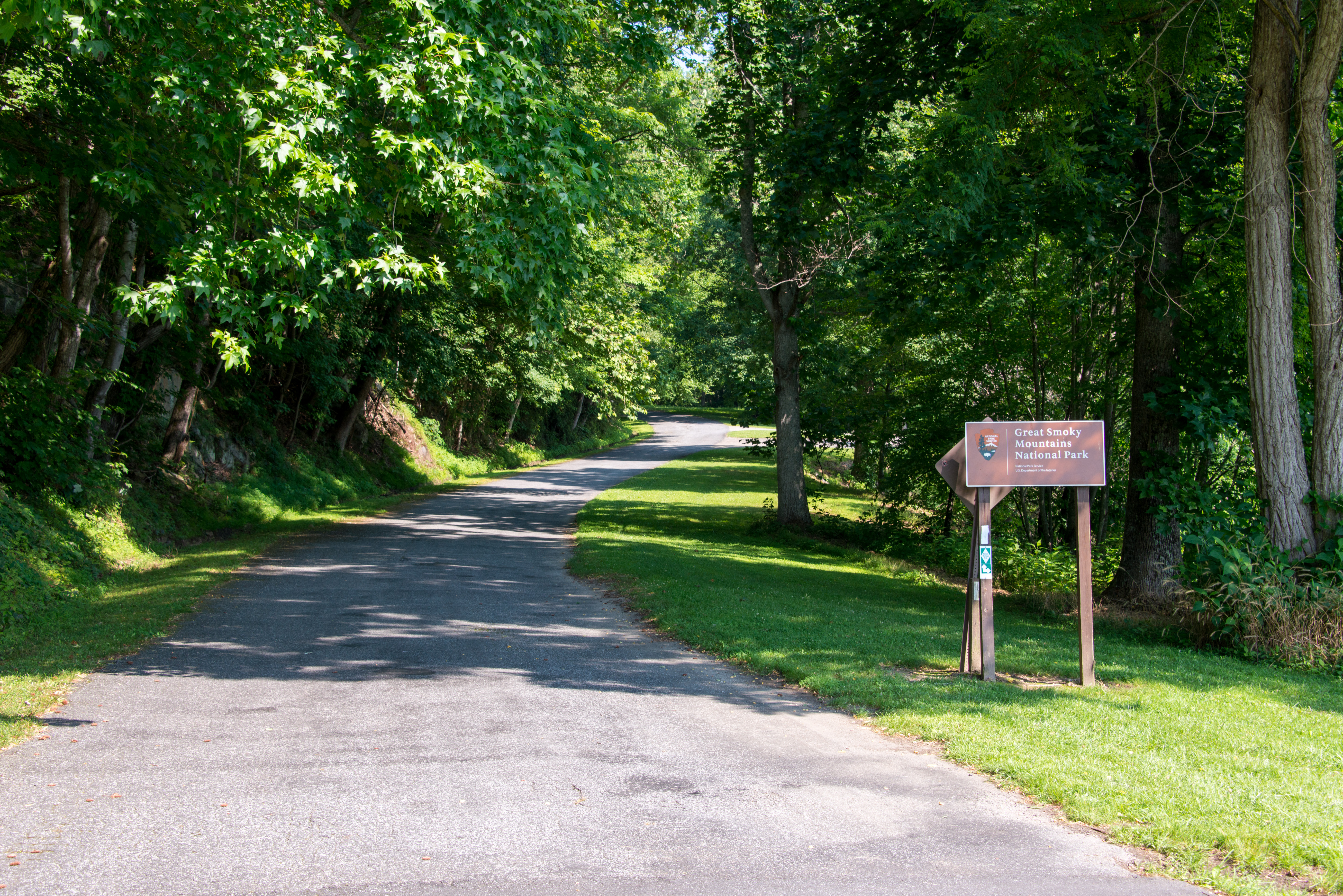
Historic Log Structures
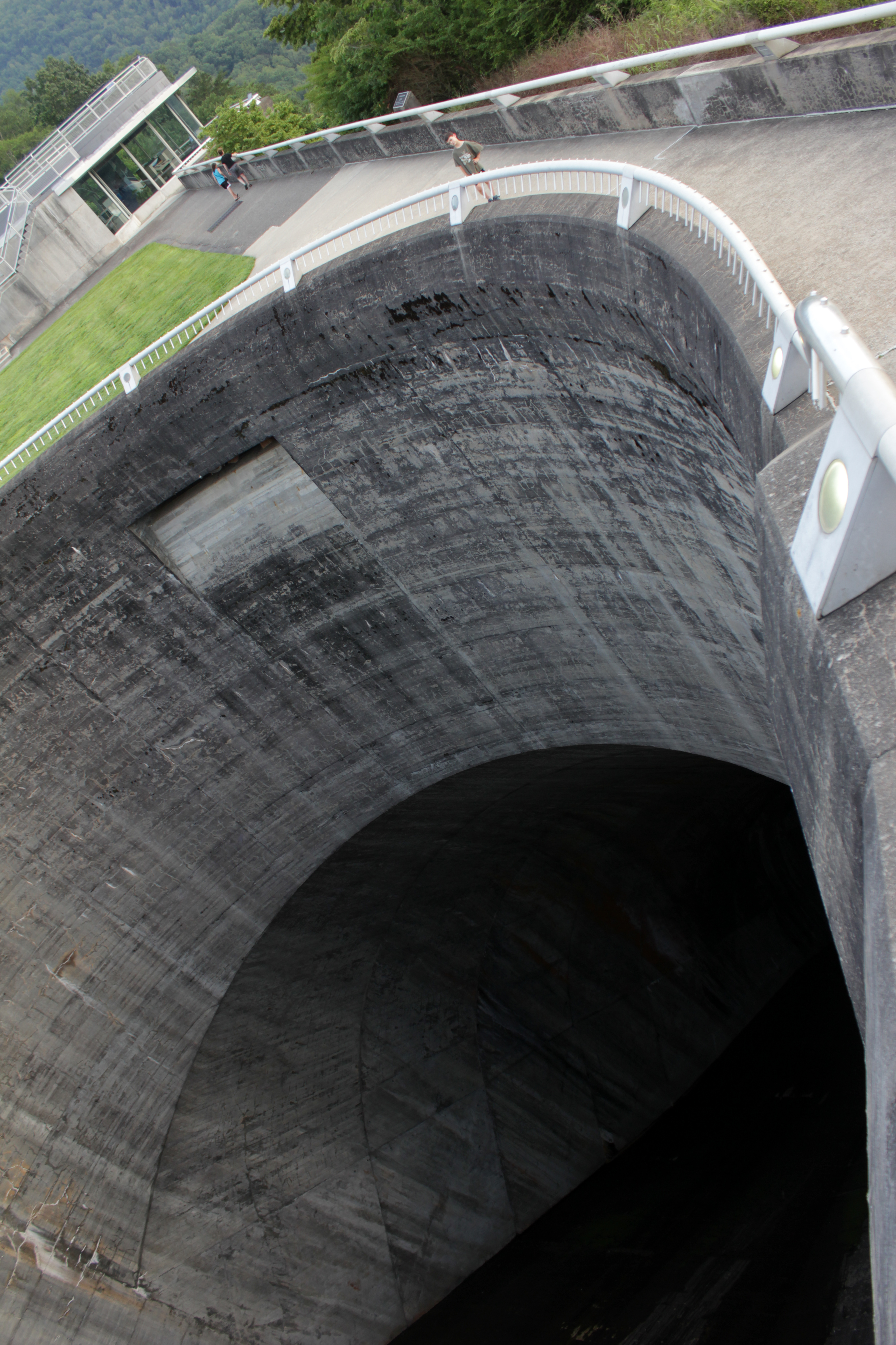
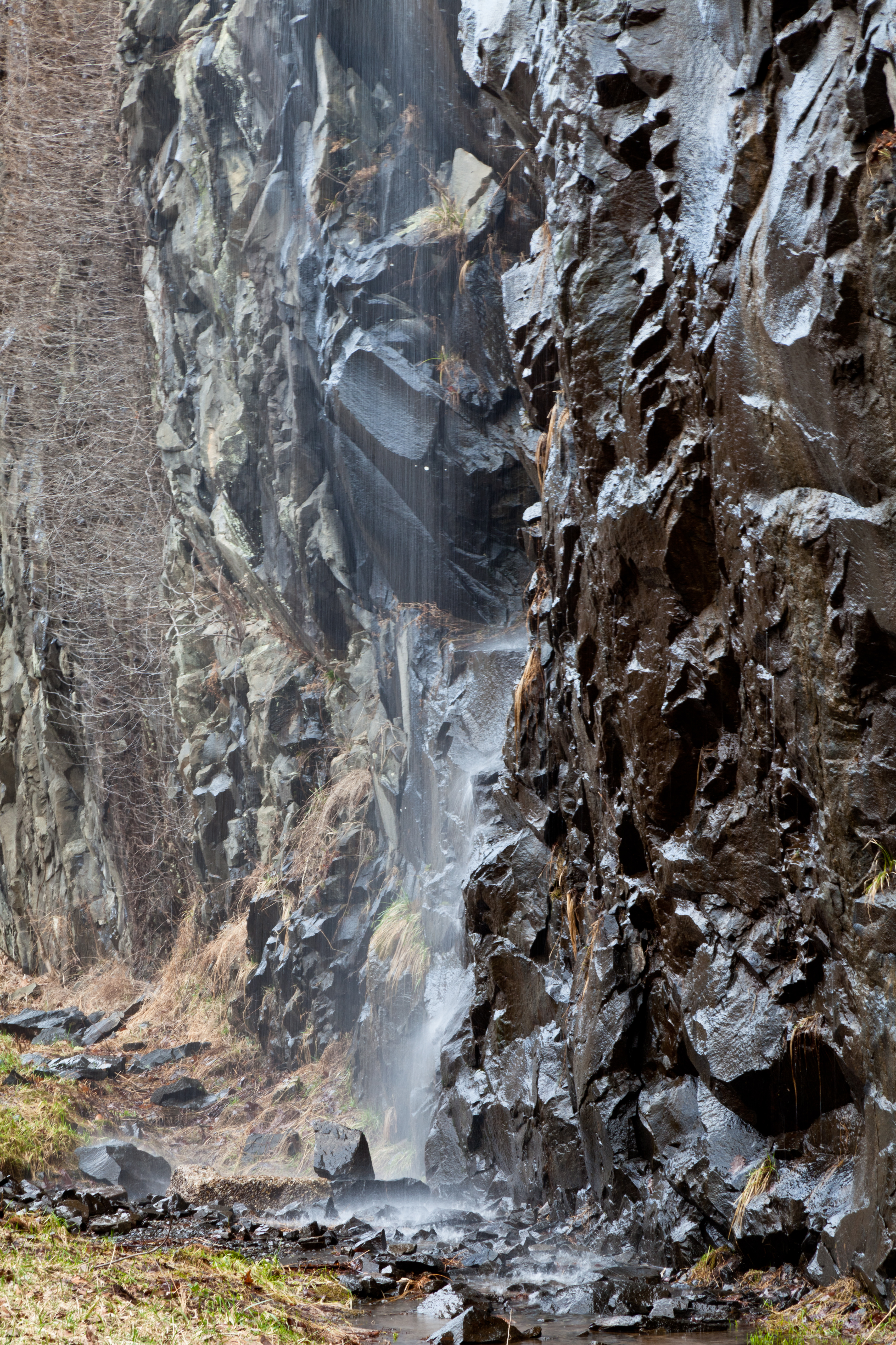
scariest hole in the world: fontana dam spillway
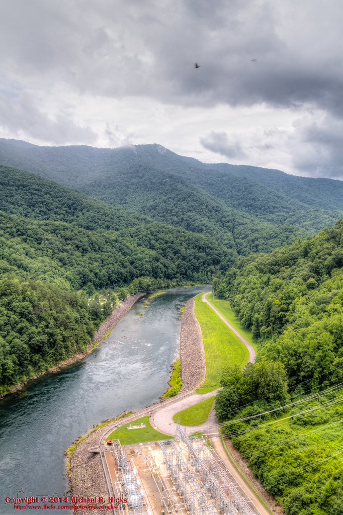
140706-3168 Fontana Lake
Smokies-20110311-217.jpg
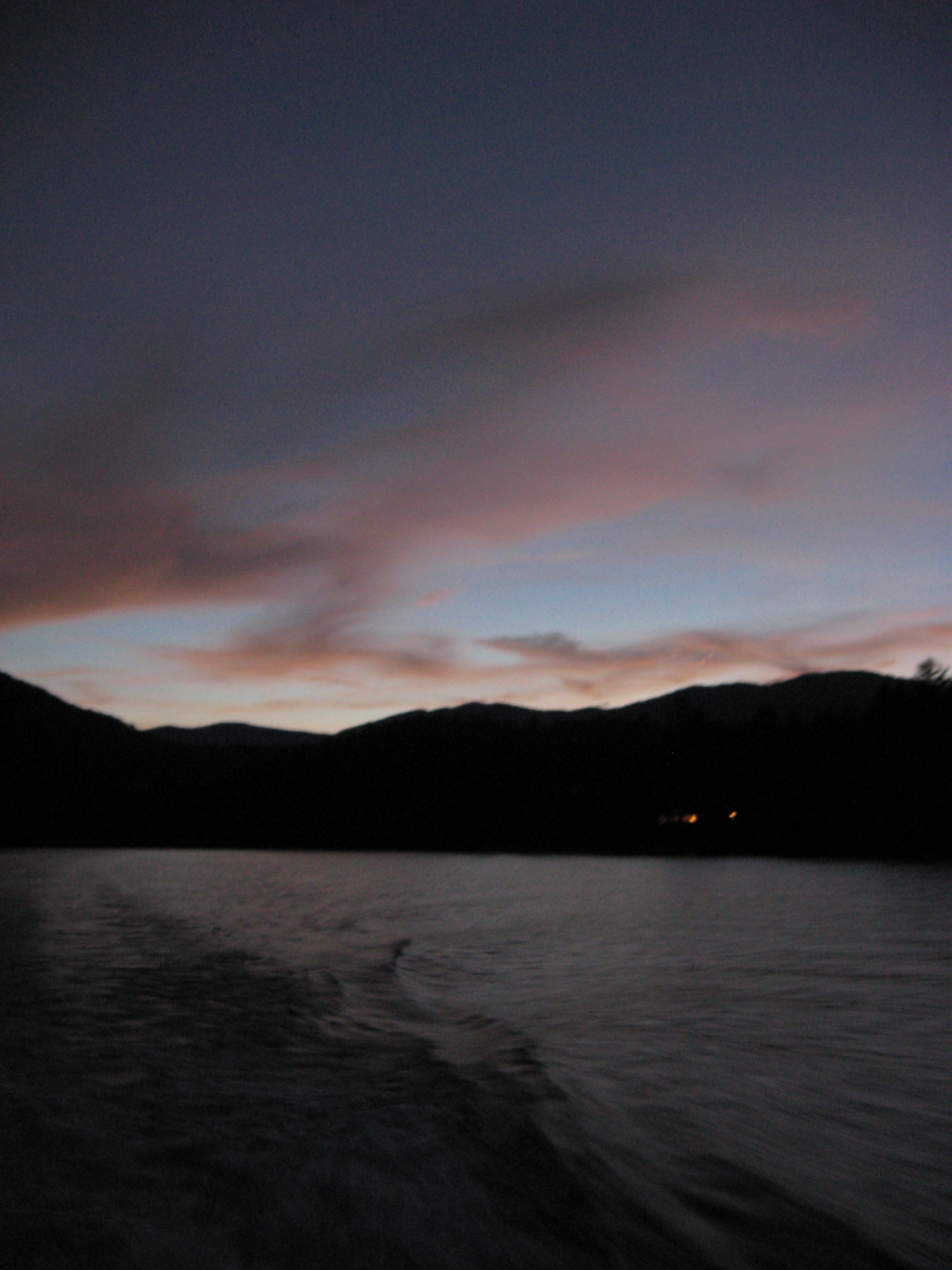
A River's Twilight
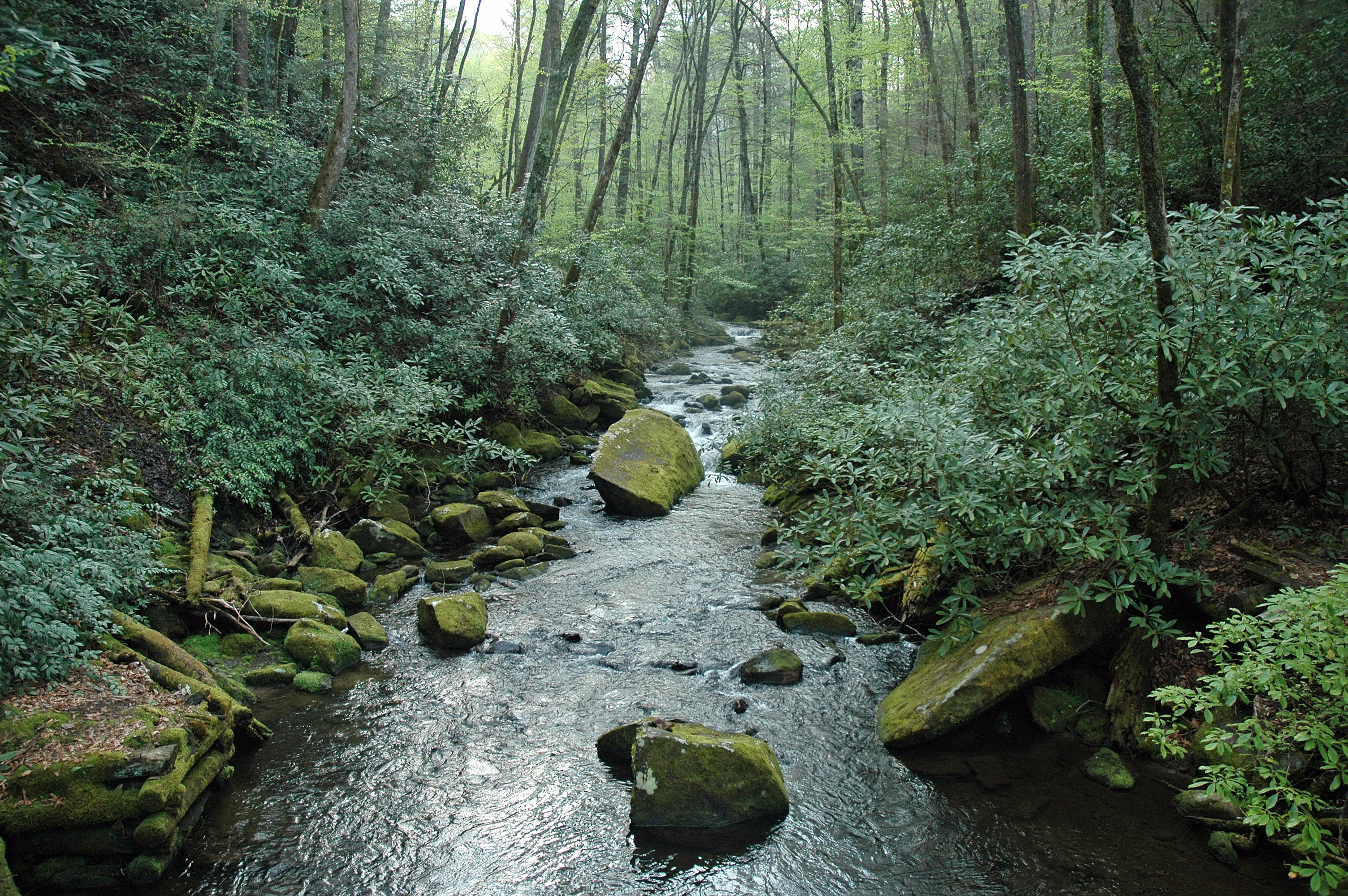
Into the Woods
GSMNP Backpack Day 6 - June 28, 2014 - Approaching Fontana Dam

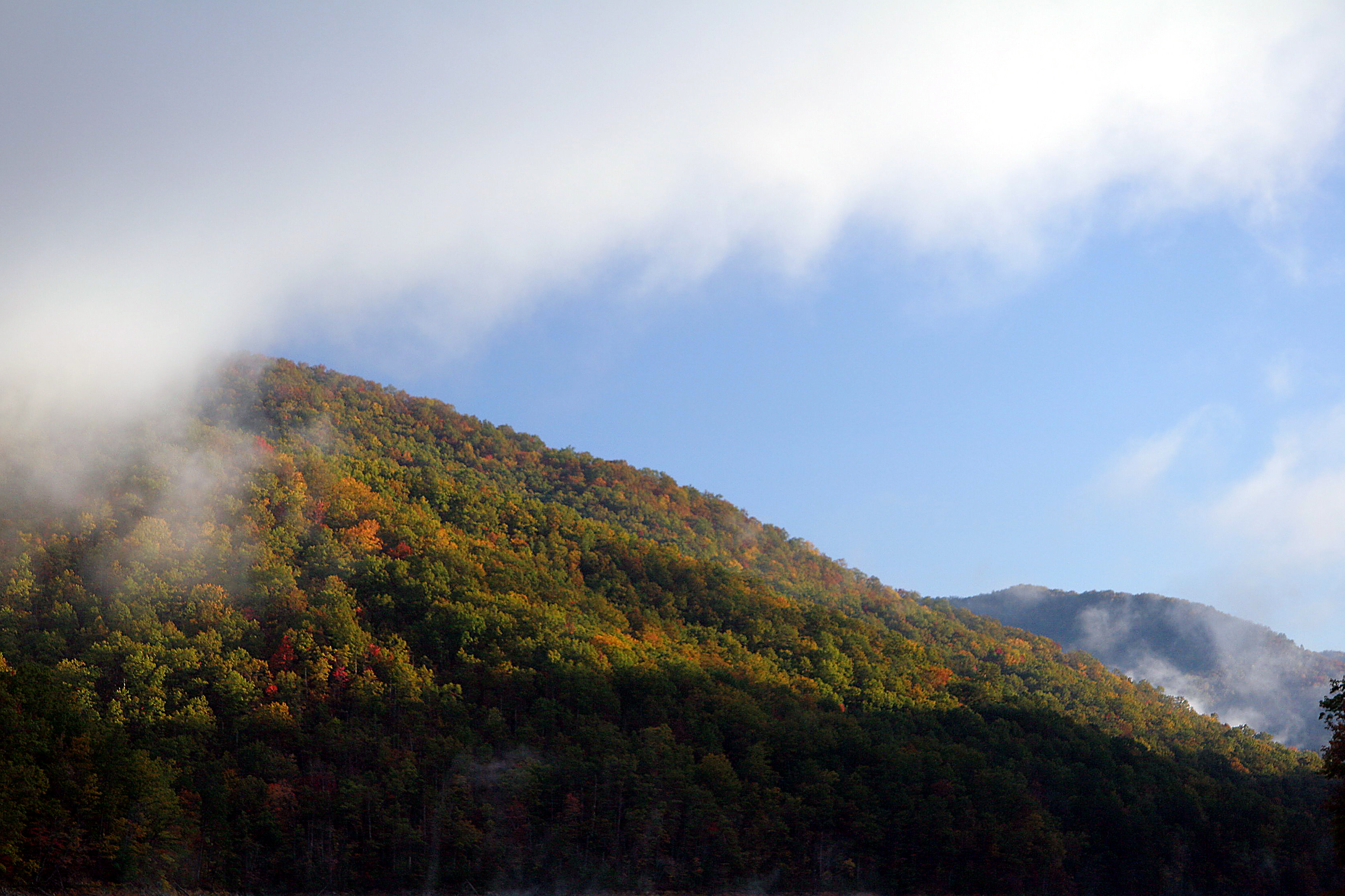
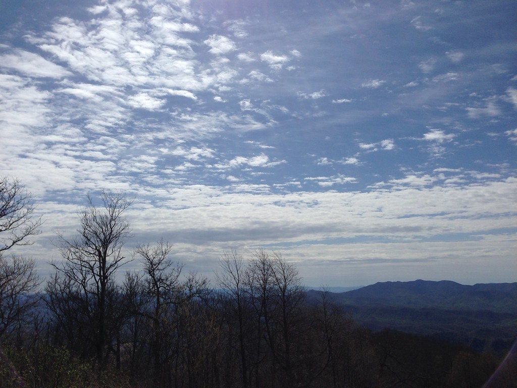
Storms in the mountains.

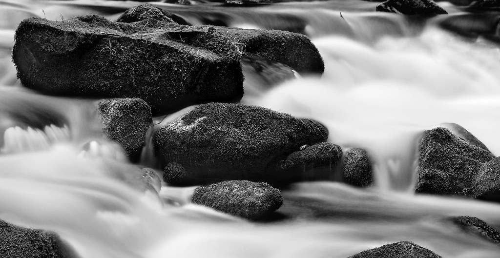
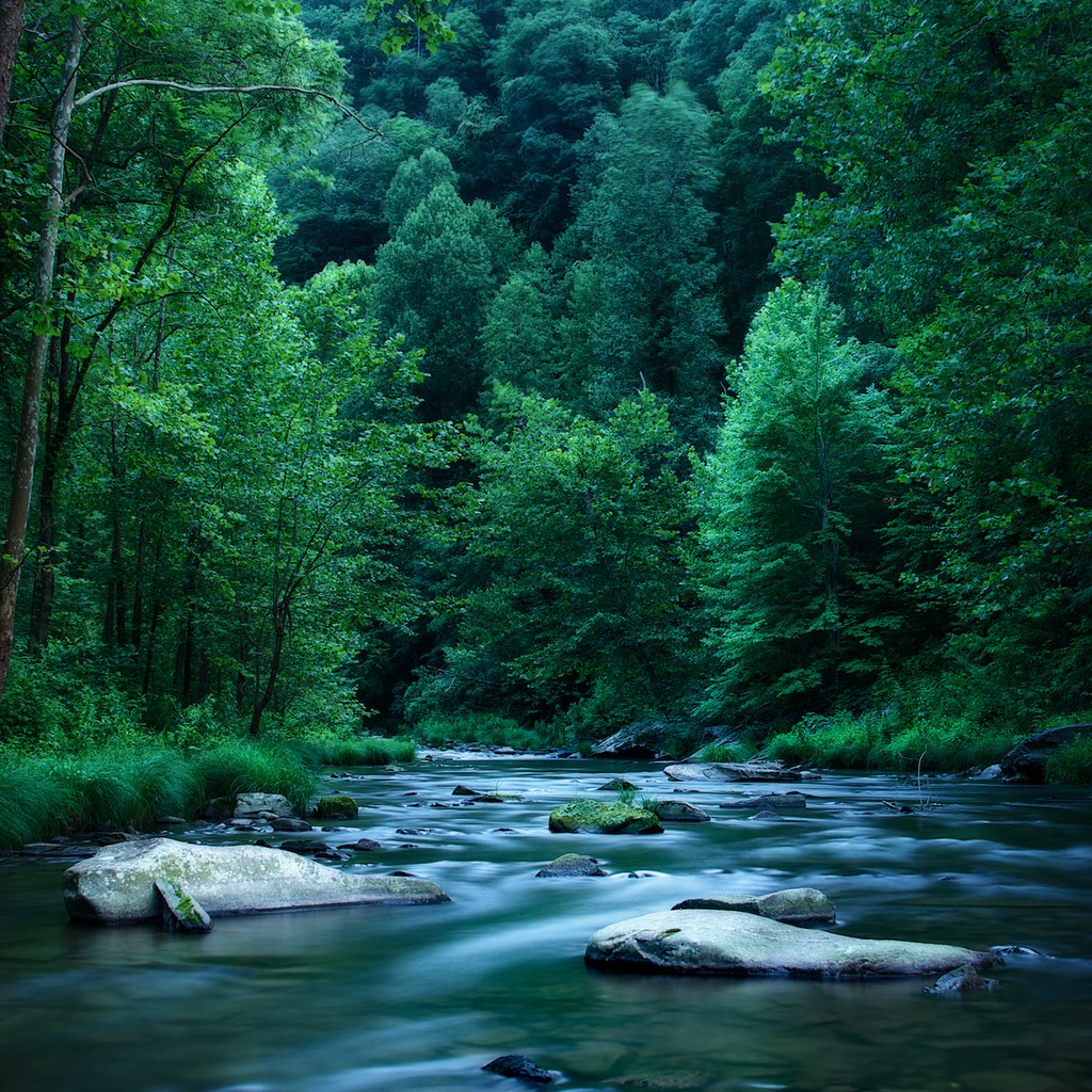
Hazel Creek
Blue Waters 2012

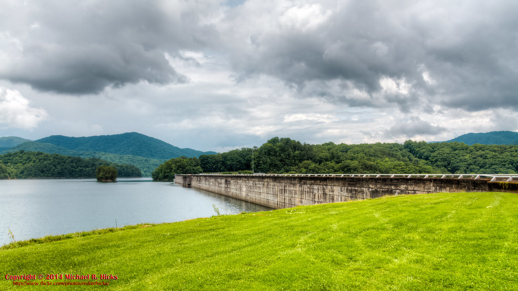
Fontana Dam
140706-3151 Fontana Dam
GSMNP Backpack Day 6 - June 28, 2014 - Downstream of Fontana Dam
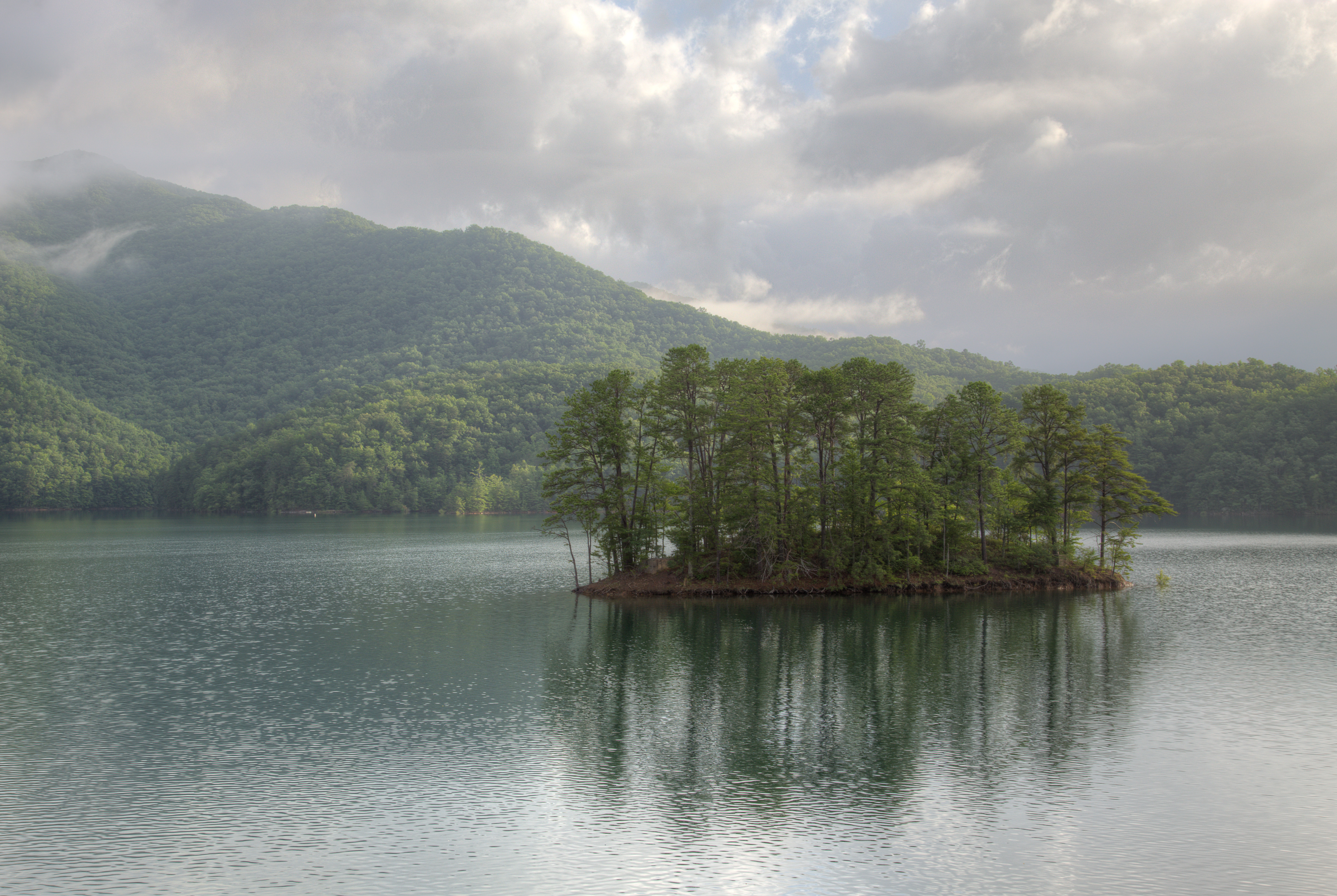
Fontana Dam Island
GSMR Trestle Texture
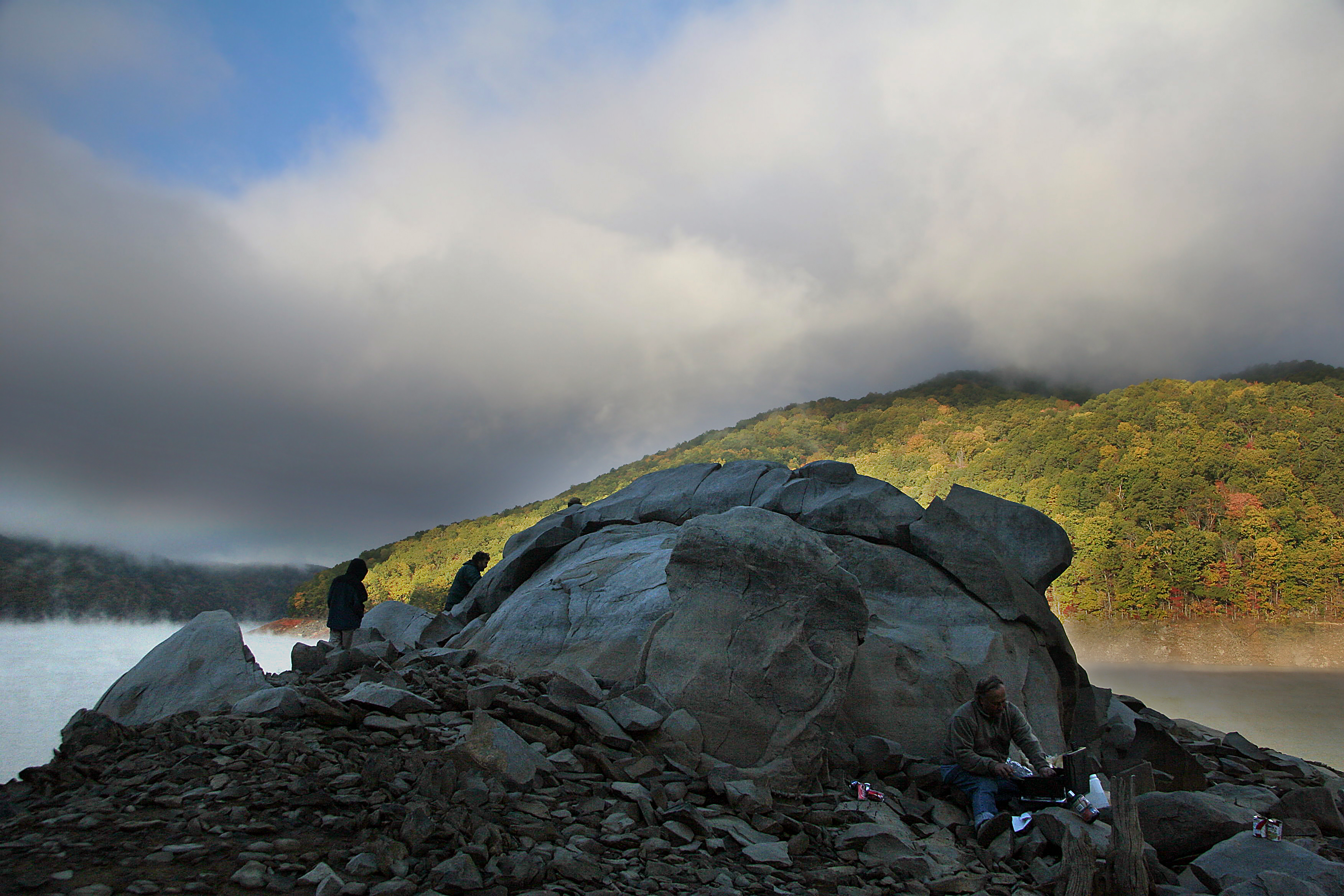
rocky point
140706-3174 Fontana Lake
Obadiah Gap on the Cherohala Skyway

GSMNP Backpack Day 6 - June 28, 2014 - Panorama from Fontana Dam
Blue Waters 2012
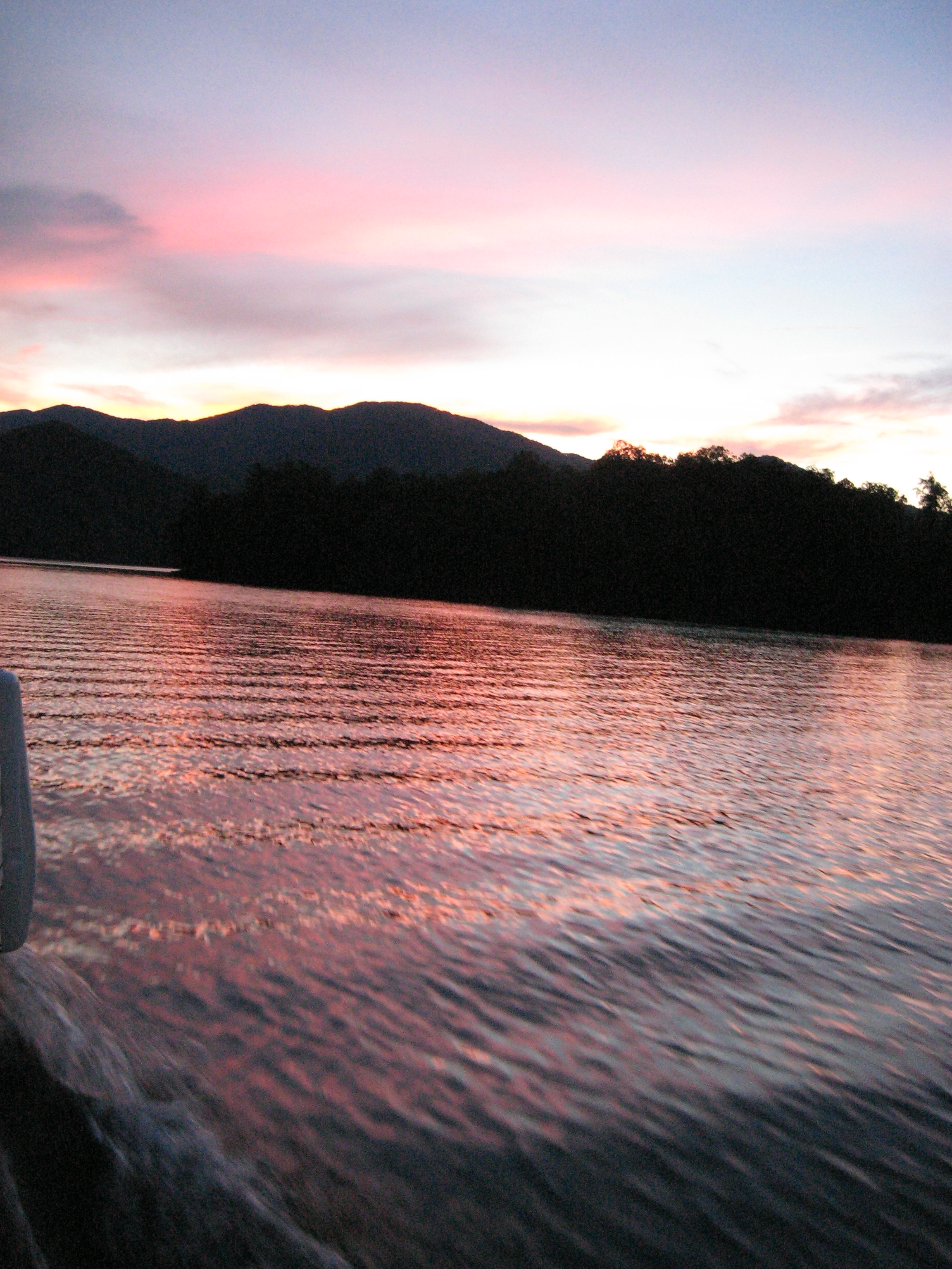
Blue Waters 2012
Smokies-20110311-204.jpg
Topographic Map of Robbinsville, NC, USA
Find elevation by address:

Places in Robbinsville, NC, USA:
Sweetwater Rd, Robbinsville, NC, USA
44 Milltown Rd, Robbinsville, NC, USA
Cole Denton Rd, Robbinsville, NC, USA
Collins Cove
Snowbird Creek
Laurel Road
White Oak Road
Beech Creek Road
North Beech Creek Road
Cedar Top Road
Shell Stand Road
Little Buffalo Road
North Carolina 143
Cochrans Creek
Briggs Cove Road
Yellow Creek Road
Mountain Drive
Lower Tuskeegee Road
Stecoah
Howard Edwards Road
Orr Branch Road
Long Creek Road
Yellow Branch Road
Nantahalla Acres Road
Places near Robbinsville, NC, USA:
Wendy's
North Carolina 143
287 Junaluska Rd
287 County Rd 1127
287 County Rd 1127
Dillard Orr Road
635 Snowbird Rd
44 Milltown Rd, Robbinsville, NC, USA
359 Mountain Creek Rd
600 Poison Branch Rd
306 Ed Howell Branch Rd
1471 Massey Branch Rd
Long Creek Road
157 Tallulah Cartway
181 Mill Creek Cir
41 Pauls Ln
66 Mountain Dr
68 Mountain Dr
57 W Mill Creek Rd
Laurel Road
Recent Searches:
- Elevation of Corso Fratelli Cairoli, 35, Macerata MC, Italy
- Elevation of Tallevast Rd, Sarasota, FL, USA
- Elevation of 4th St E, Sonoma, CA, USA
- Elevation of Black Hollow Rd, Pennsdale, PA, USA
- Elevation of Oakland Ave, Williamsport, PA, USA
- Elevation of Pedrógão Grande, Portugal
- Elevation of Klee Dr, Martinsburg, WV, USA
- Elevation of Via Roma, Pieranica CR, Italy
- Elevation of Tavkvetili Mountain, Georgia
- Elevation of Hartfords Bluff Cir, Mt Pleasant, SC, USA