Elevation of Laurel Road, Laurel Rd, Robbinsville, NC, USA
Location: United States > North Carolina > Graham County > Cheoah > Robbinsville >
Longitude: -83.790776
Latitude: 35.2860087
Elevation: 714m / 2343feet
Barometric Pressure: 93KPa
Elevation Map:
Satellite Map:
Related Photos:

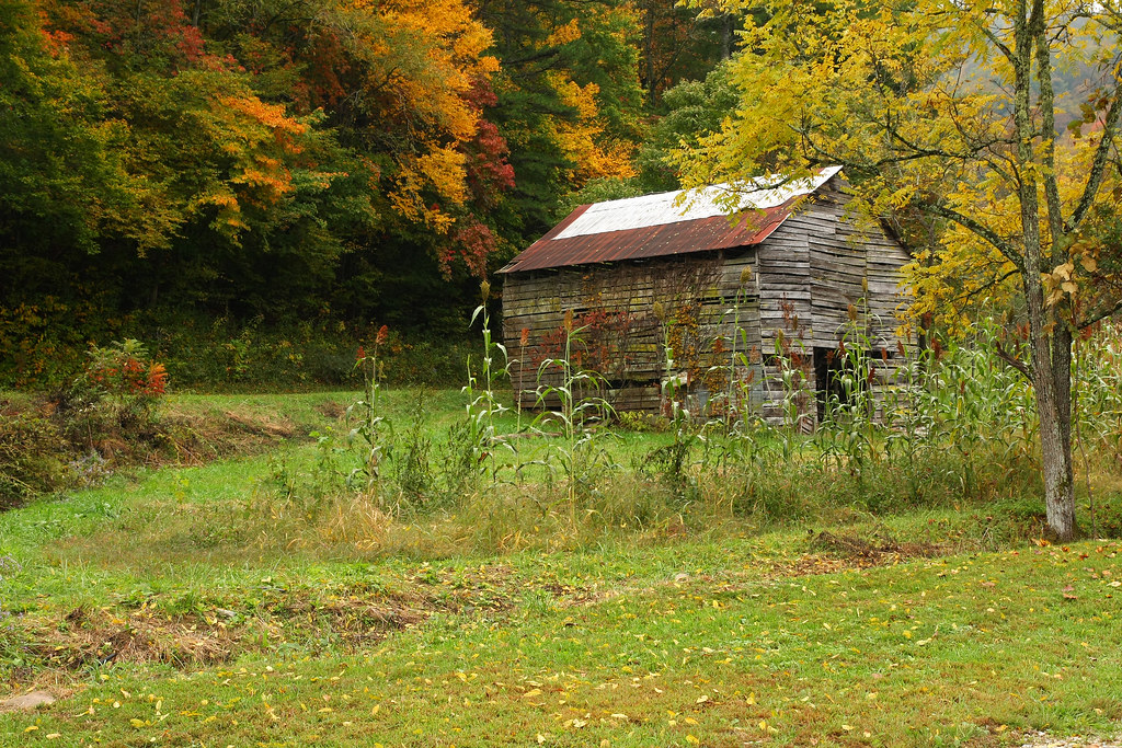
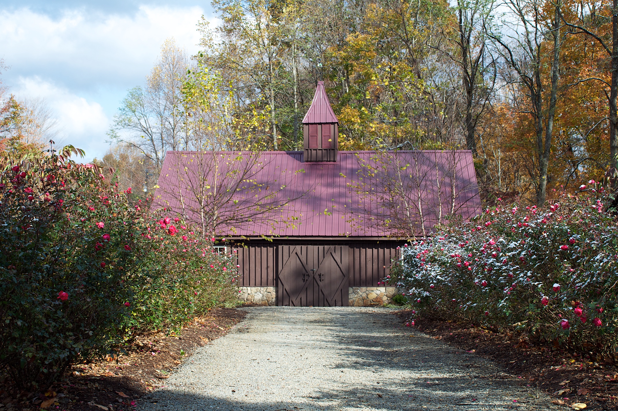
Hawkesdene House Barn Far View
Where the Paths Parted
Cheoah Bald
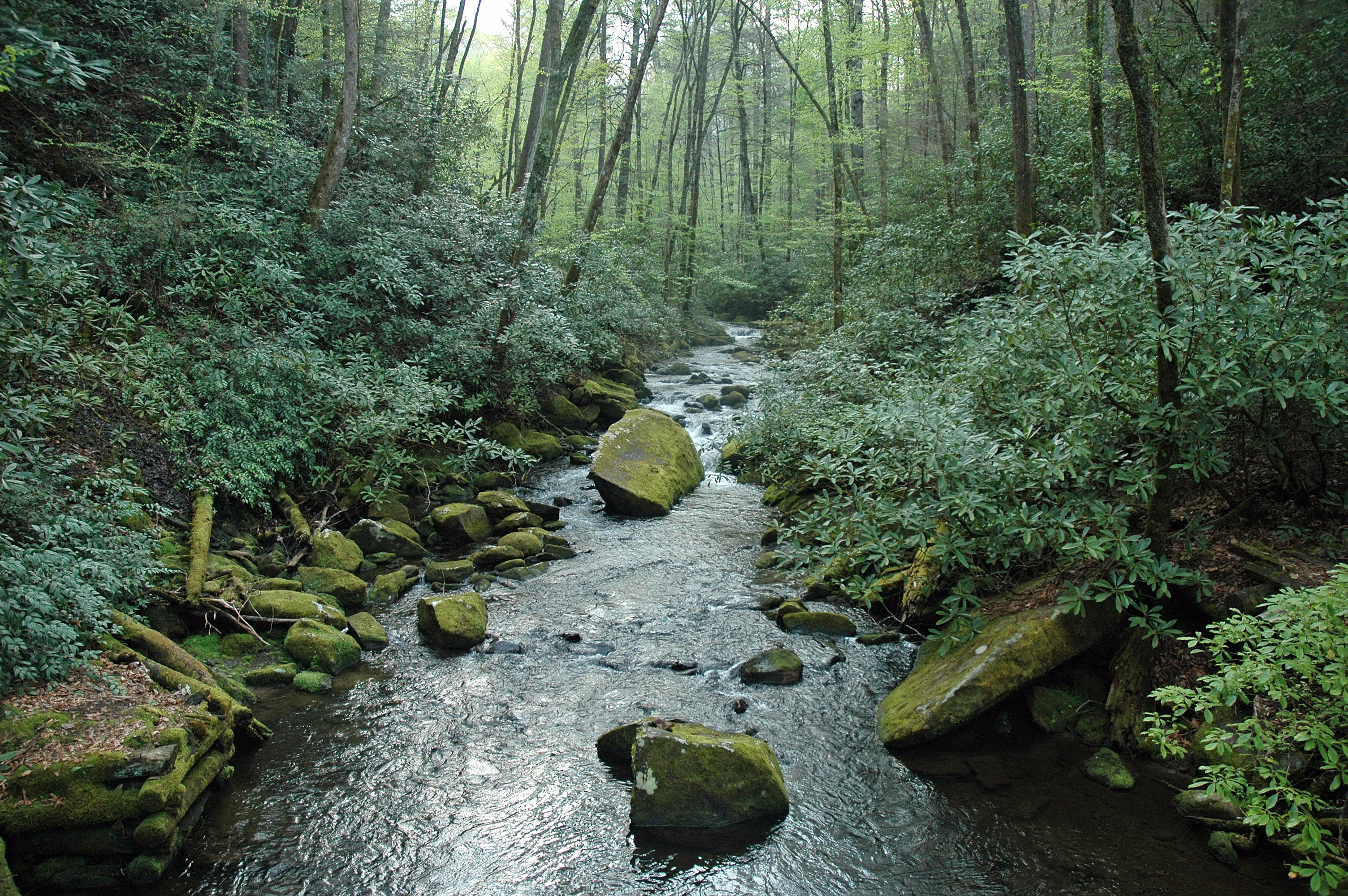
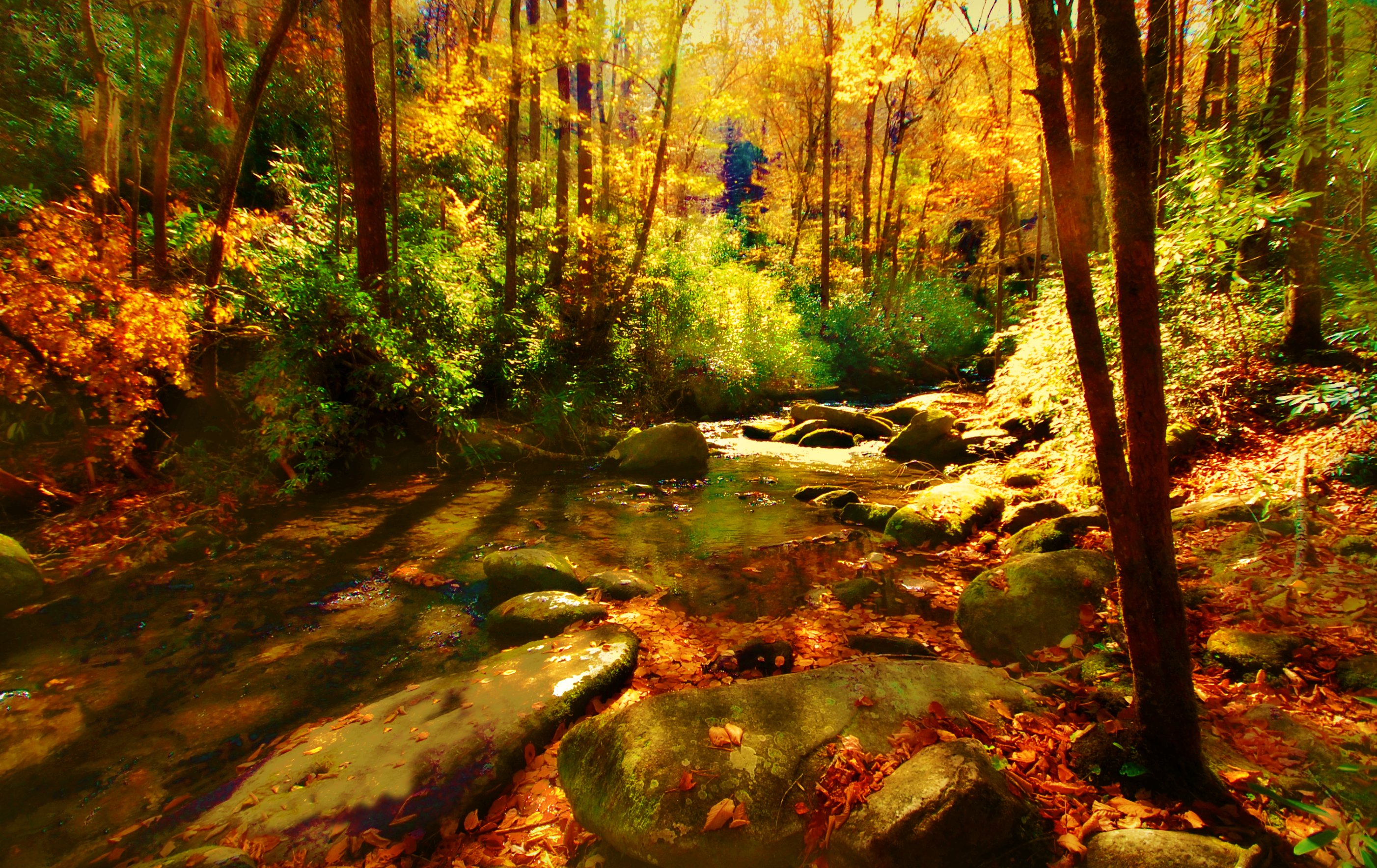
the sylvan way
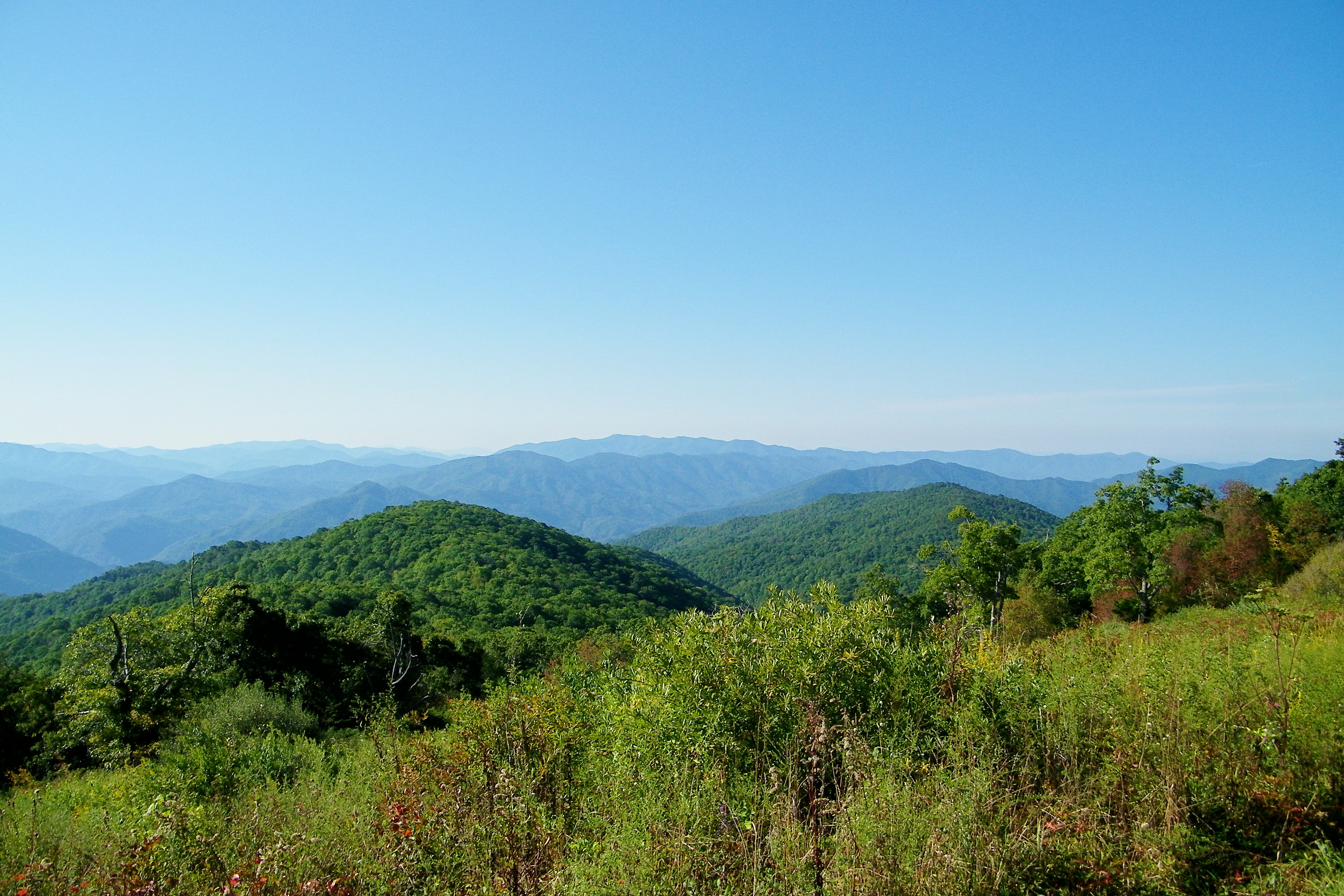
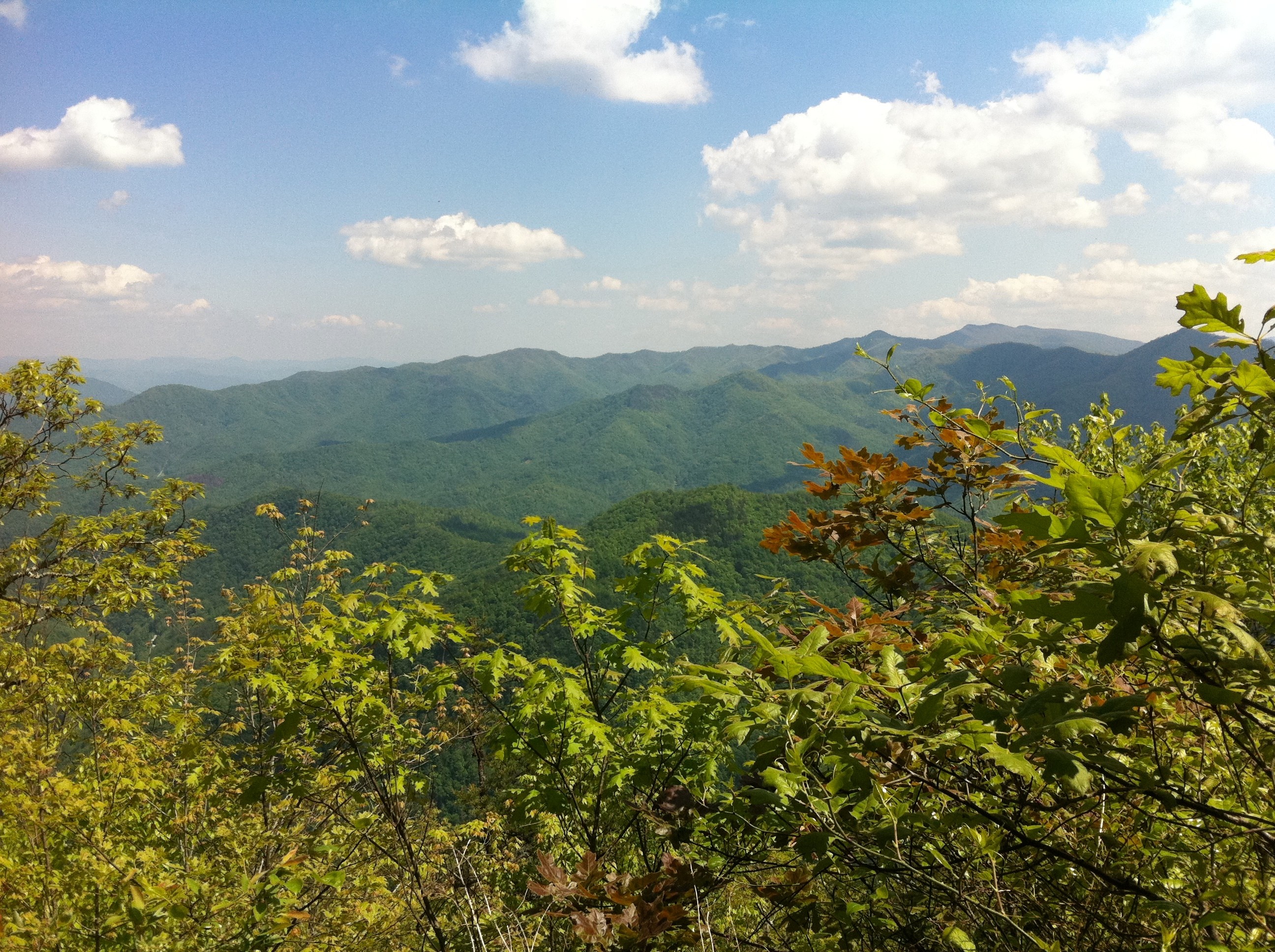
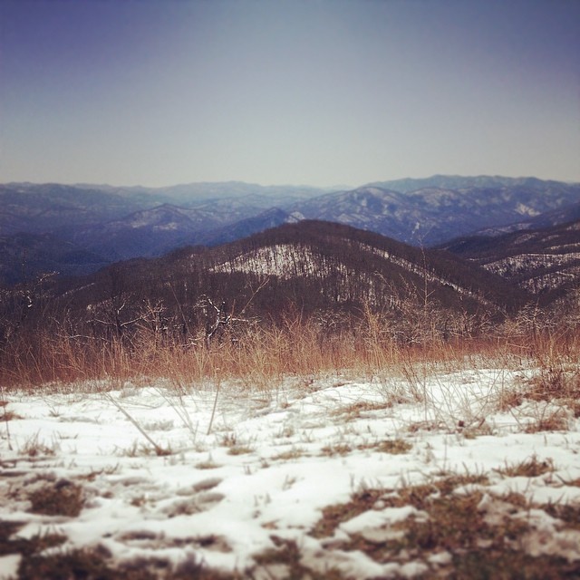
View from Cheoah Bald
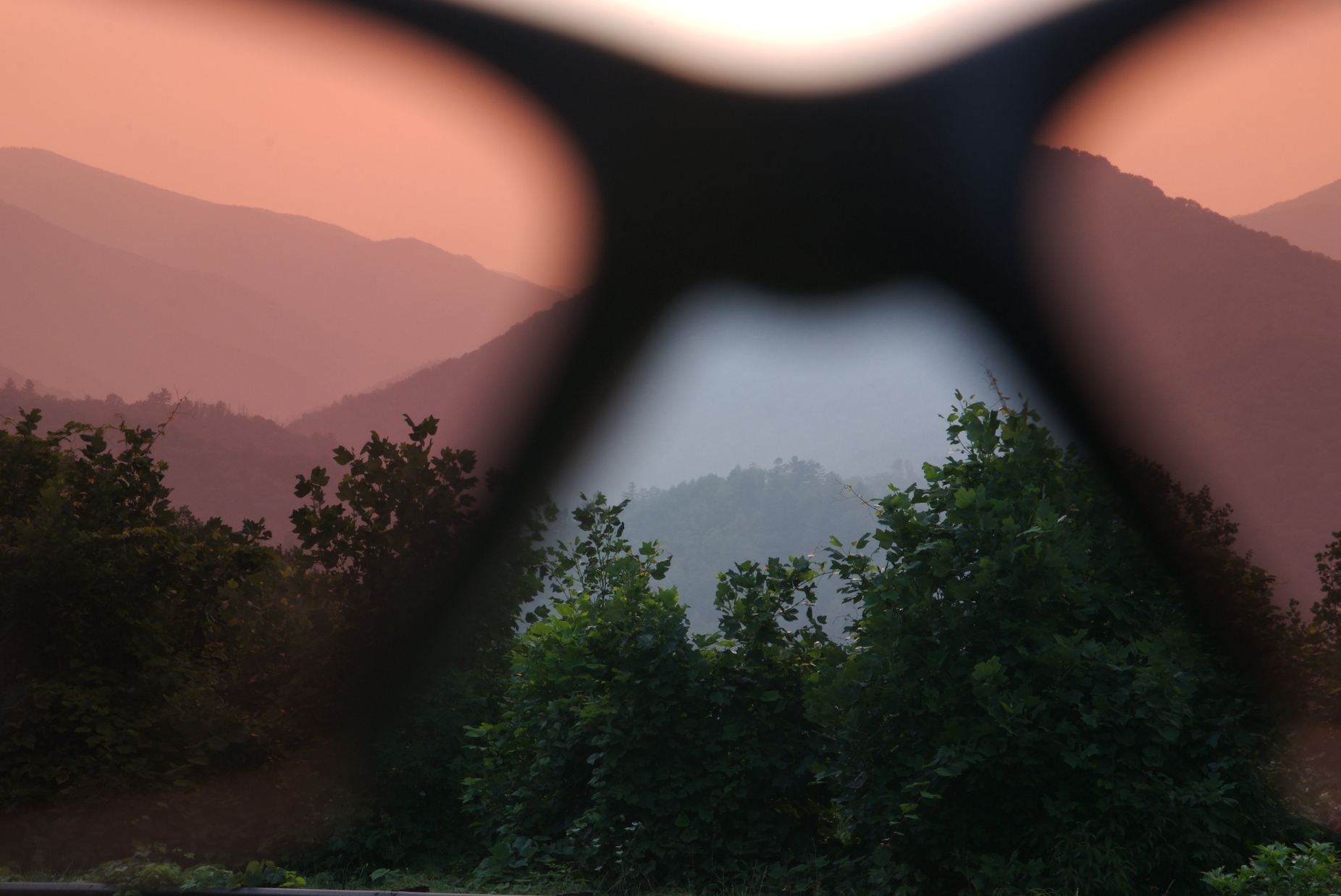
rosy filter
Historic Log Structures
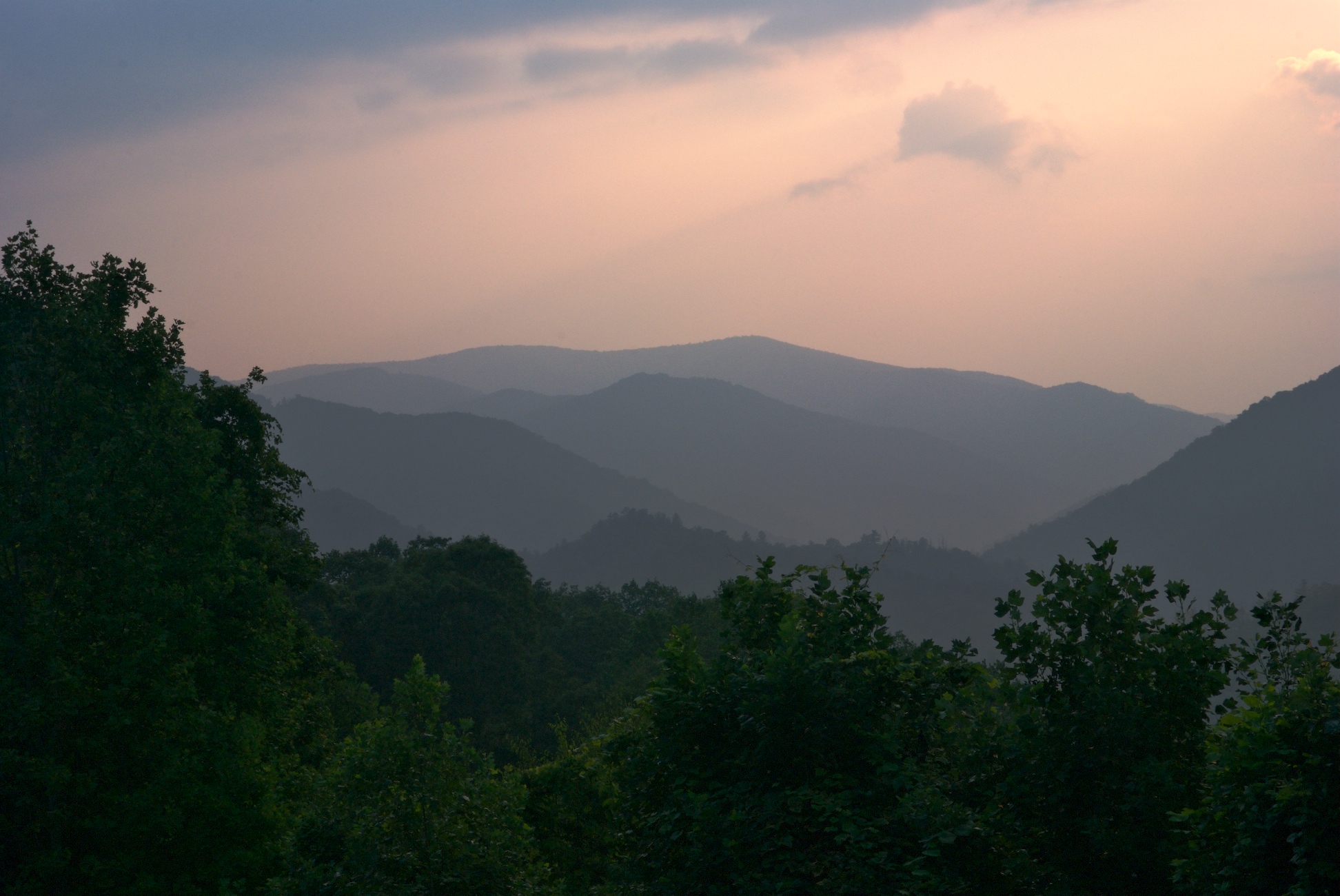
i was up above it
Cherohala Skyway
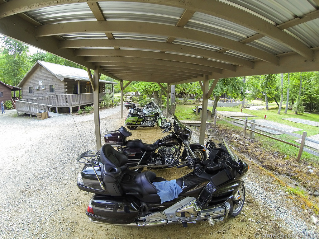
20140530 Hero3 Appalachian Motorcycle Ride 263
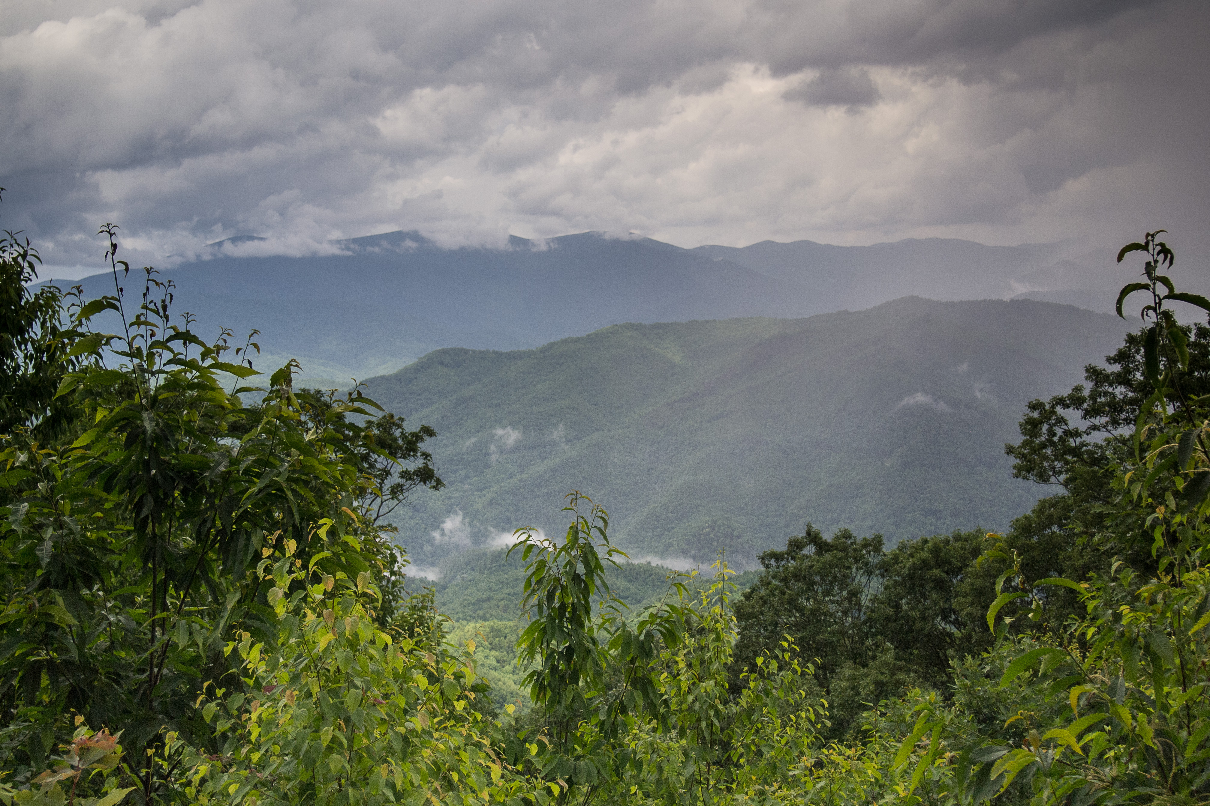
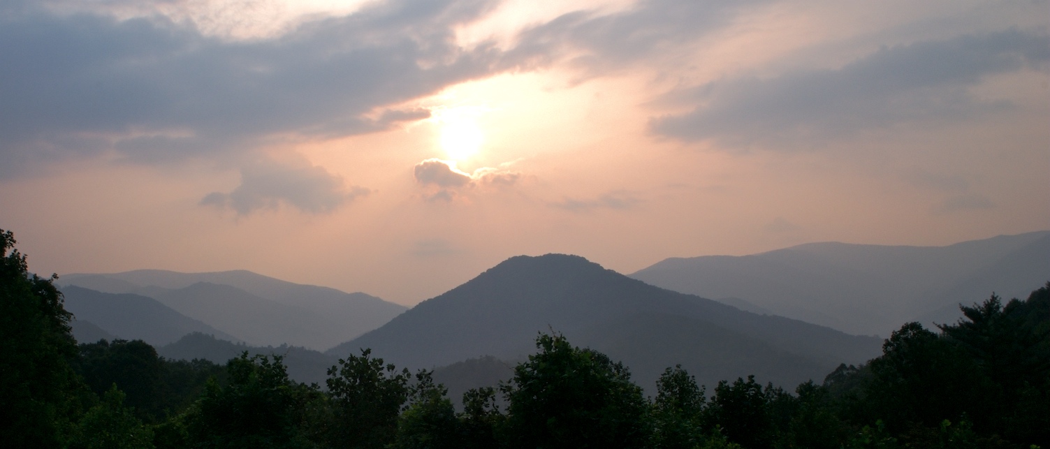
Stormy Smokeys
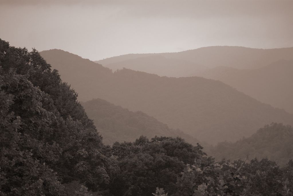
smoky mountains
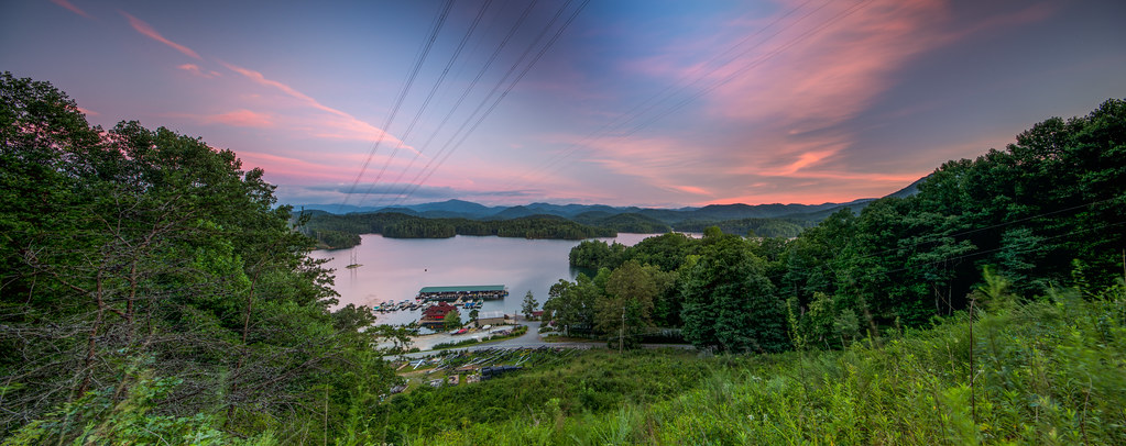
Sunset by the Dragon
Hawkesdene House Barn Side View
Nice weather for us!
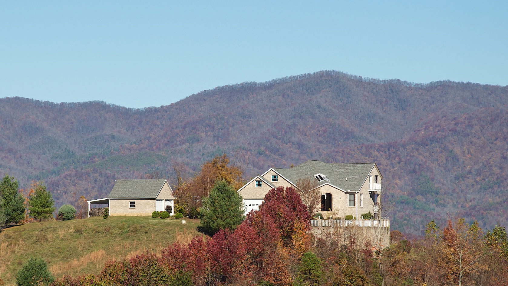
Hawkesdene House View of another house
Jump-Up Overlook
DSC_6551.jpg
Beginning of the trail
Cheoah Bald

Cheoah Bald
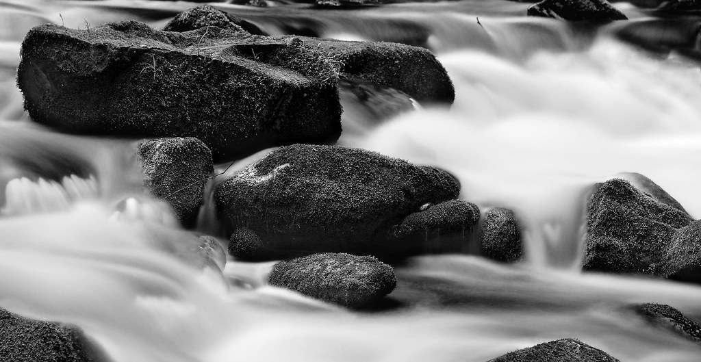
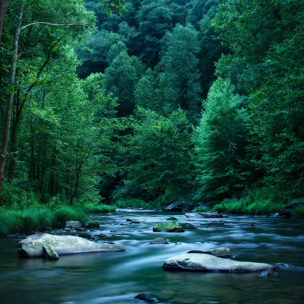
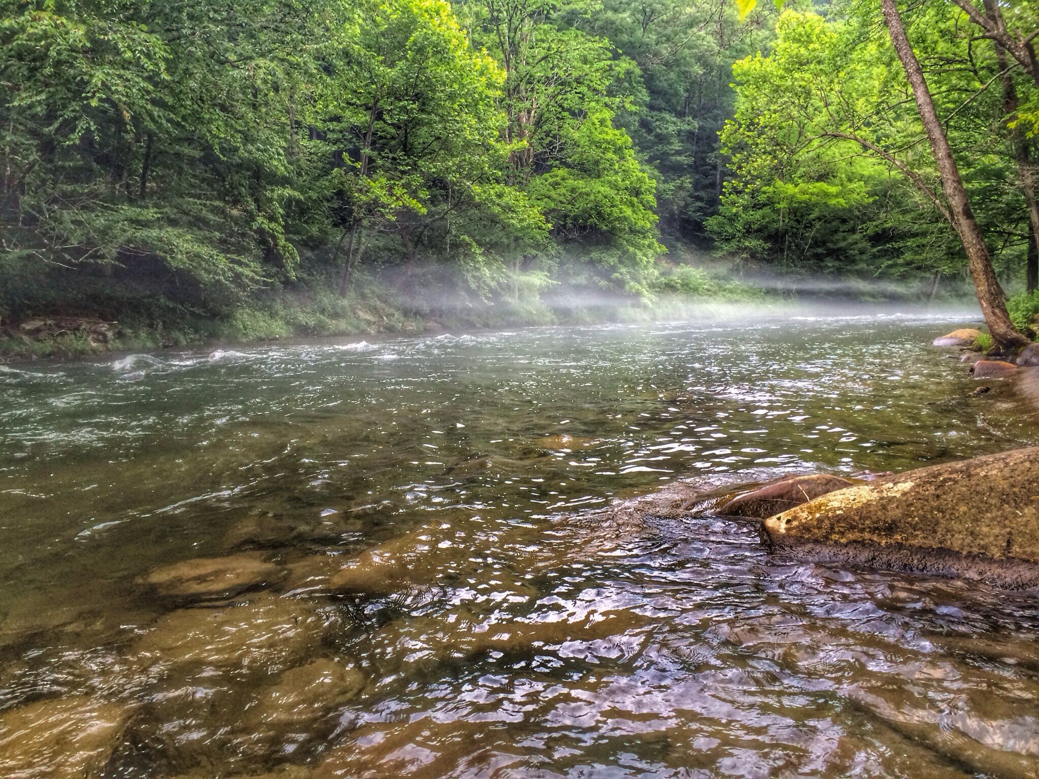
White Water

Graham County Railroad - Topton, North Carolina

Graham County Railroad - Nantahala valley

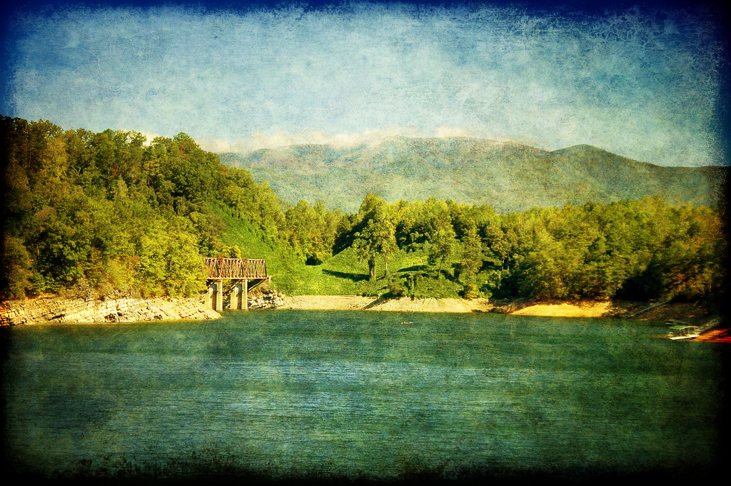
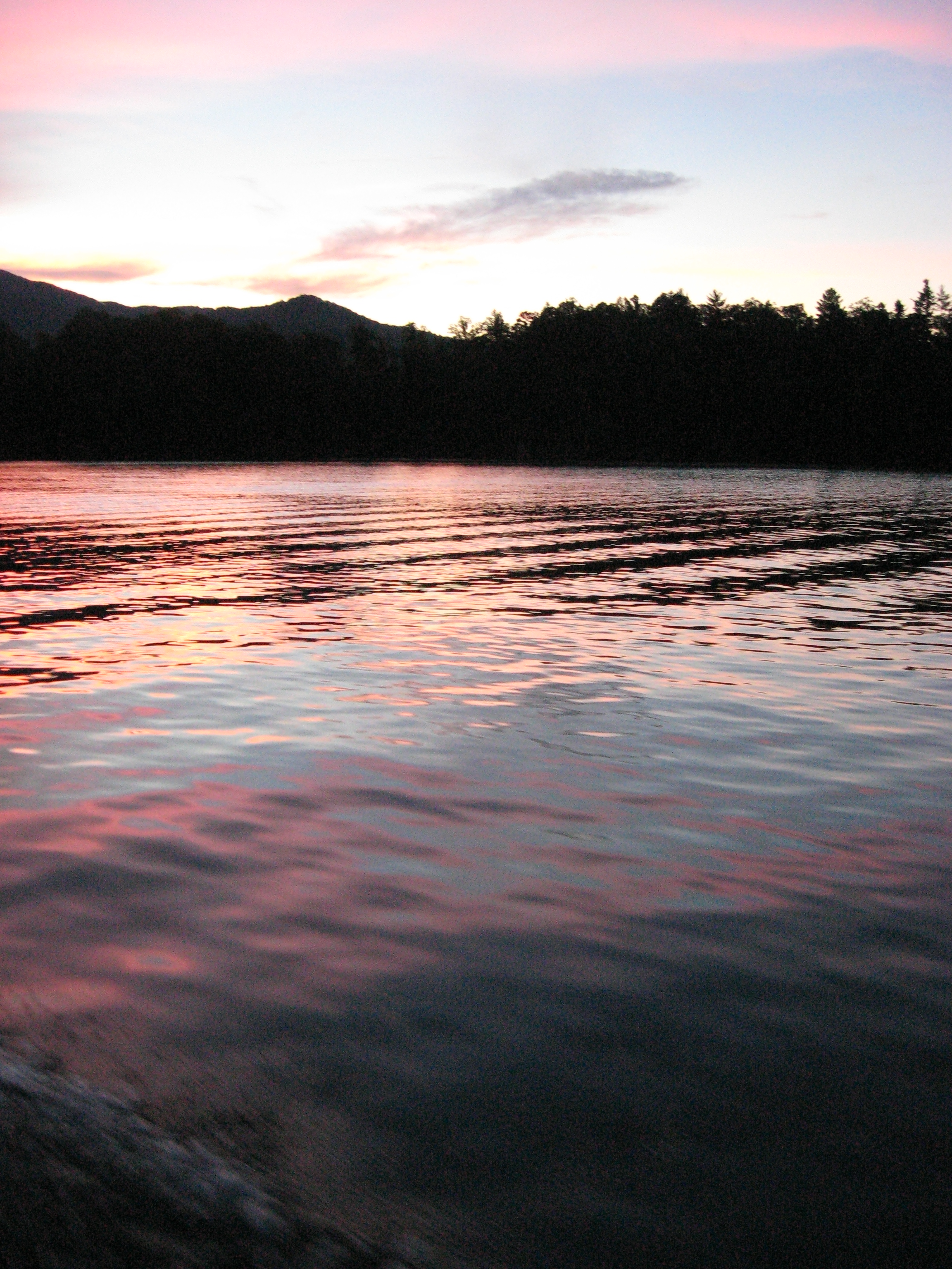
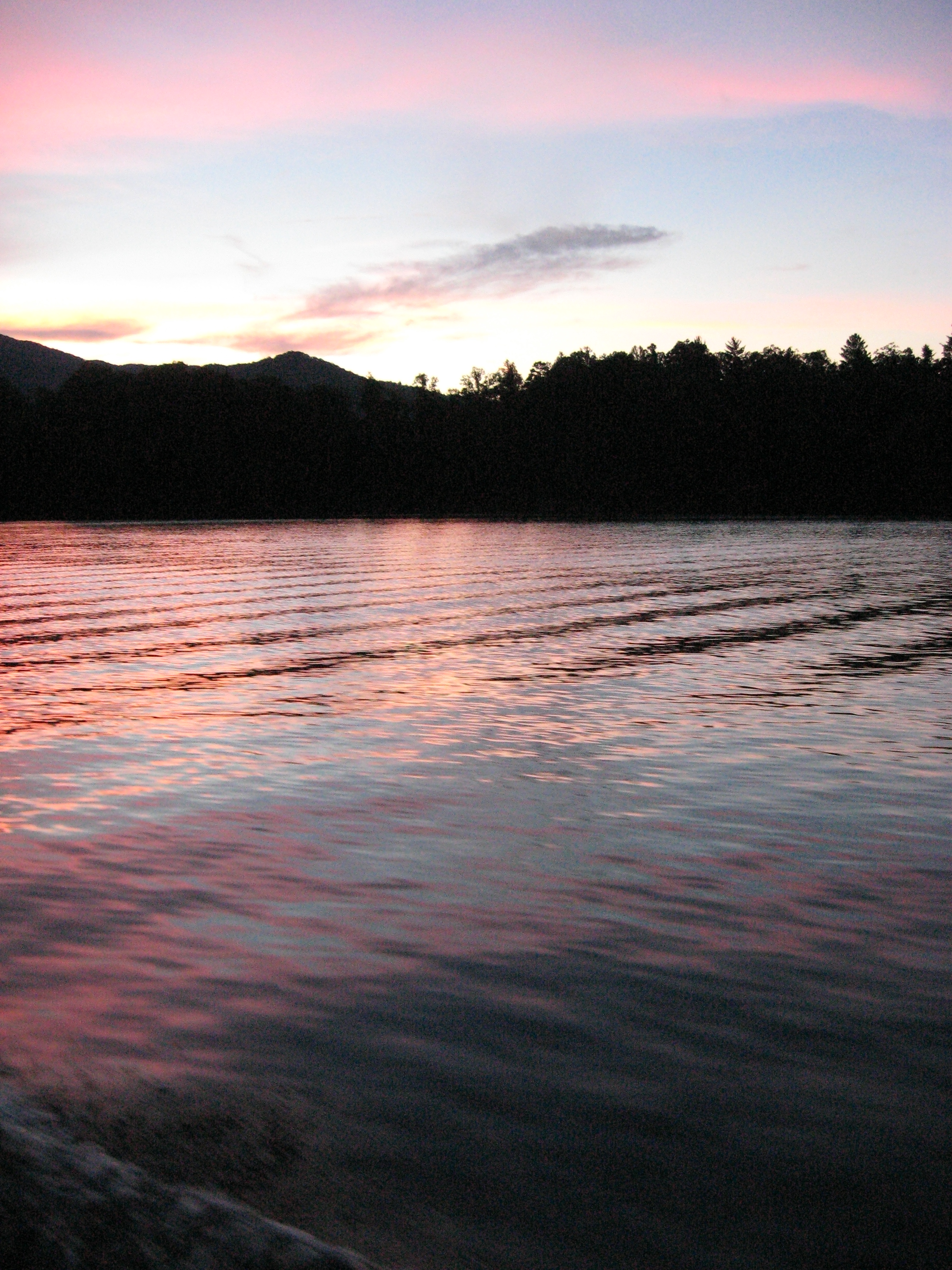
Lake Santeetlah at Sunset, Western North Carolina

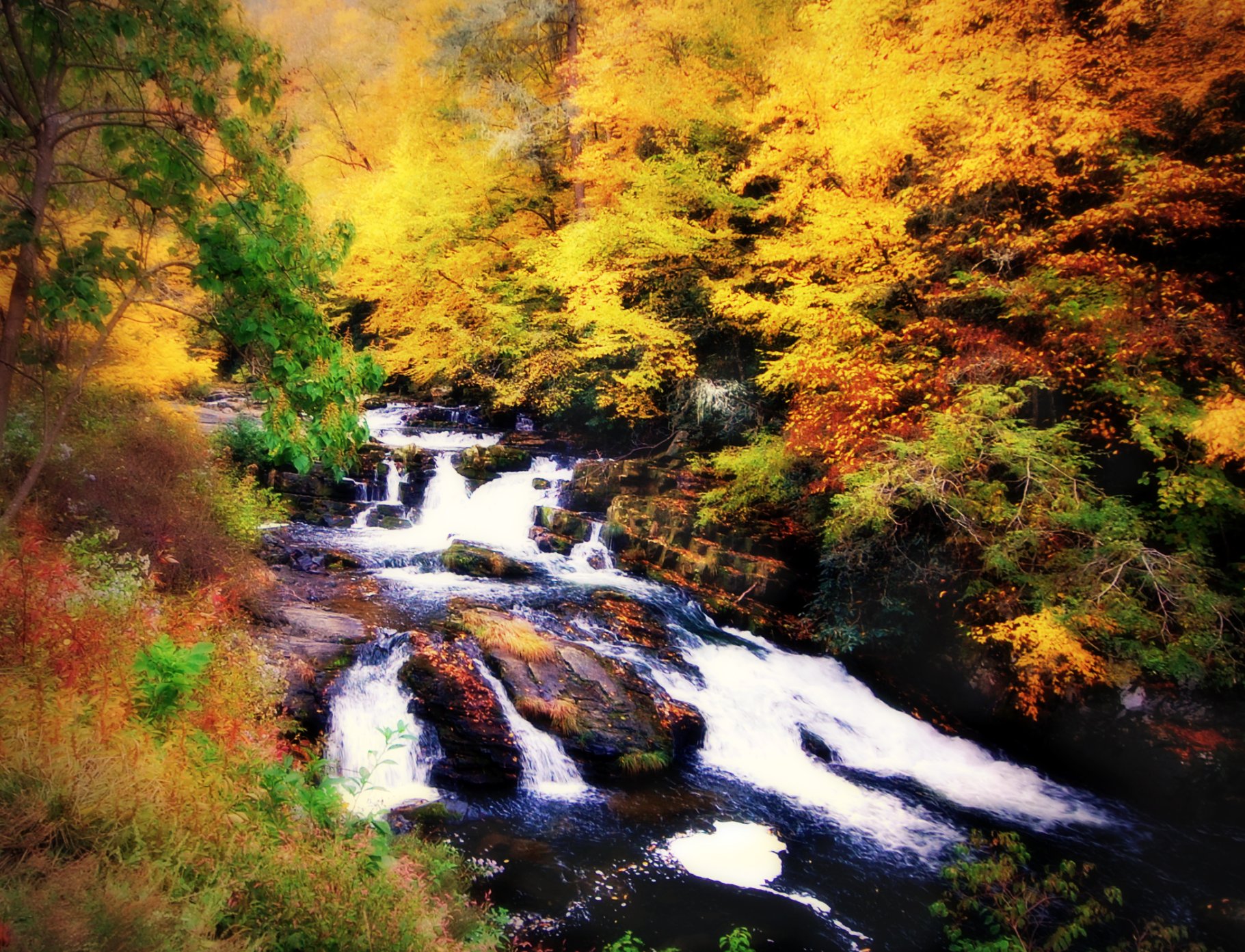
Joyce Kilmer Memorial Forest
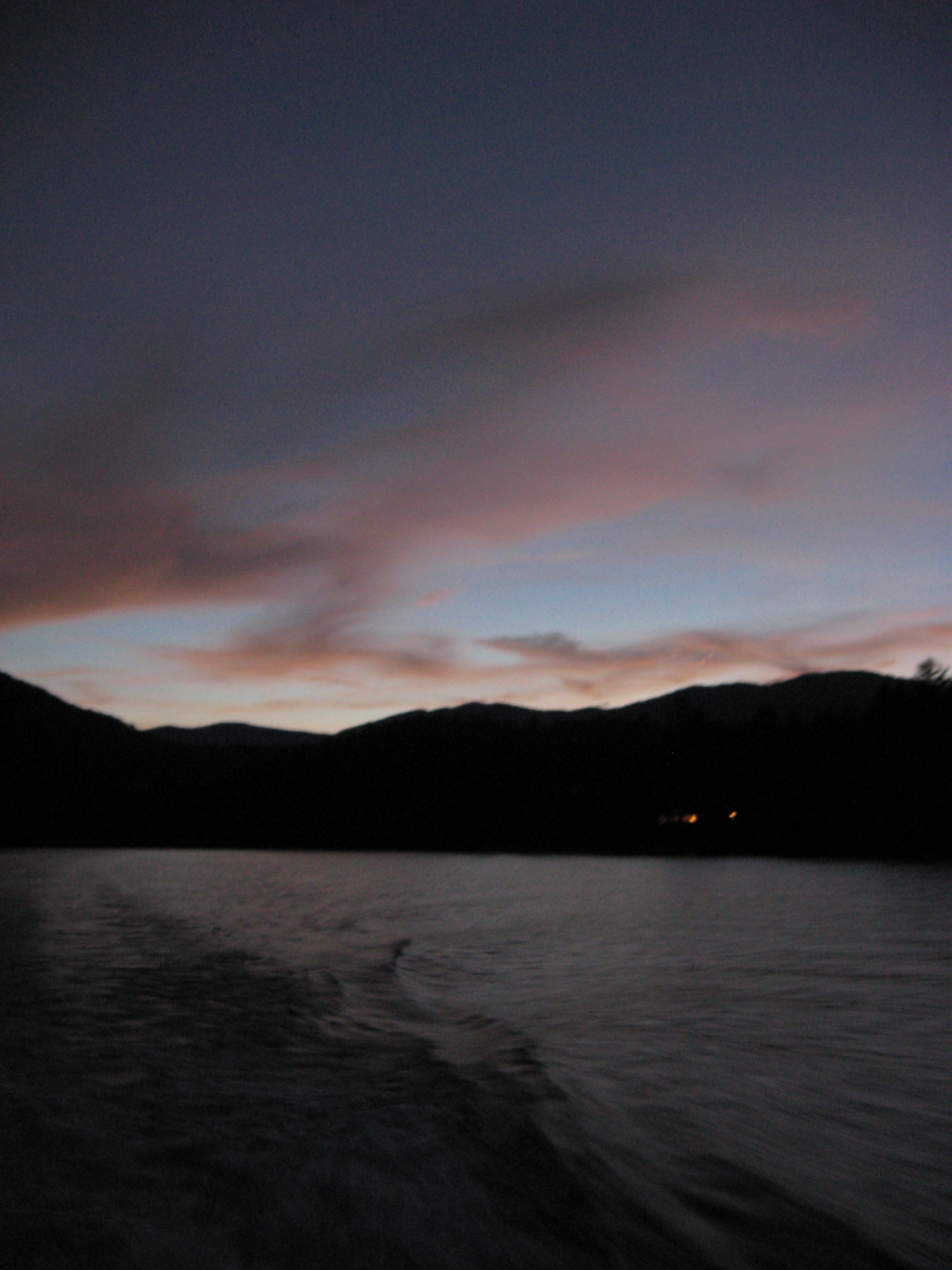
A River's Twilight
Blue Waters 2012
Well, this is obviously going to be popular
GSMR Trestle Texture
Day 9 - cheoah bald - #outdoors #hiking #adventure #at

Blue Waters 2012
Joyce Kilmer Memorial Forest
Blue Waters 2012
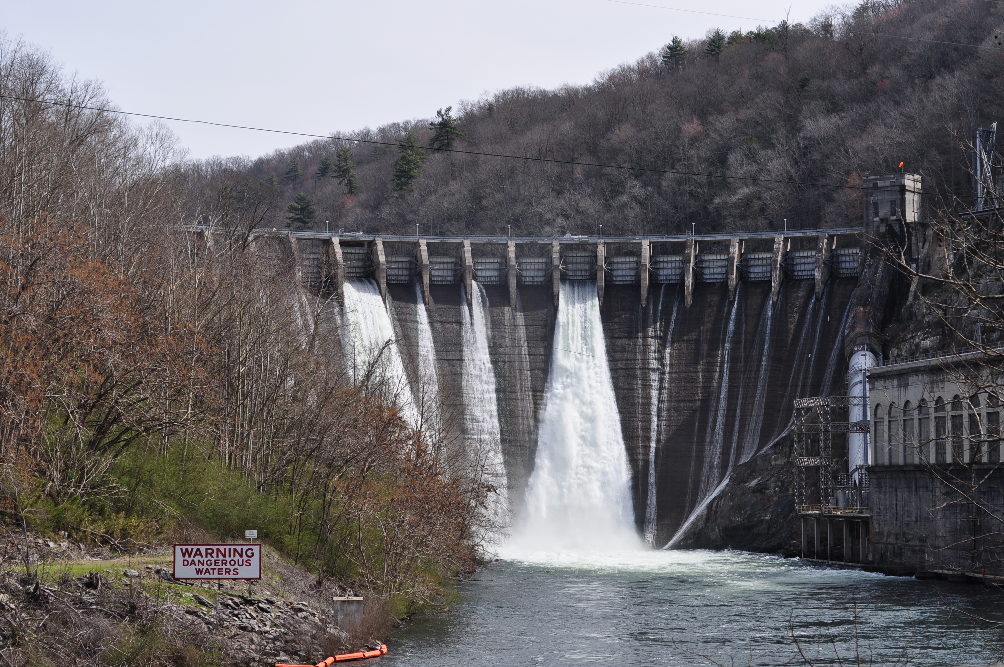
DSC_7305_ Cheoah Dam, NC, USA
D2-Riding Trip

20140530 5DIII Appalachian Motorcycle Ride 132
Smokies-20110311-206.jpg

Graham County Railroad - Robbinsville scale track
On the Cherohala Skyway
Blue Waters 2012
Topographic Map of Laurel Road, Laurel Rd, Robbinsville, NC, USA
Find elevation by address:

Places near Laurel Road, Laurel Rd, Robbinsville, NC, USA:
57 W Mill Creek Rd
181 Mill Creek Cir
41 Pauls Ln
157 Tallulah Cartway
2935 Tallulah Rd
600 Poison Branch Rd
1030 Anderson Creek Rd
306 Ed Howell Branch Rd
Long Creek Road
635 Snowbird Rd
853 Berts Creek Rd
44 Milltown Rd, Robbinsville, NC, USA
287 Junaluska Rd
287 County Rd 1127
287 County Rd 1127
Robbinsville
Wendy's
North Carolina 143
359 Mountain Creek Rd
66 Mountain Dr
Recent Searches:
- Elevation of Corso Fratelli Cairoli, 35, Macerata MC, Italy
- Elevation of Tallevast Rd, Sarasota, FL, USA
- Elevation of 4th St E, Sonoma, CA, USA
- Elevation of Black Hollow Rd, Pennsdale, PA, USA
- Elevation of Oakland Ave, Williamsport, PA, USA
- Elevation of Pedrógão Grande, Portugal
- Elevation of Klee Dr, Martinsburg, WV, USA
- Elevation of Via Roma, Pieranica CR, Italy
- Elevation of Tavkvetili Mountain, Georgia
- Elevation of Hartfords Bluff Cir, Mt Pleasant, SC, USA