Elevation of Wendy's, Highway Bypass, Robbinsville, NC, USA
Location: United States > North Carolina > Graham County > Cheoah > Robbinsville >

Longitude: -83.803659

Latitude: 35.325367

Elevation: 606m / 1988feet

Barometric Pressure: 94KPa

Elevation Map:

elevation map of Wendy's, Highway Bypass, Robbinsville, NC, USA
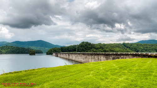
Satellite Map:

Satellite map of Wendy's, Highway Bypass, Robbinsville, NC, USA

Related Photos:

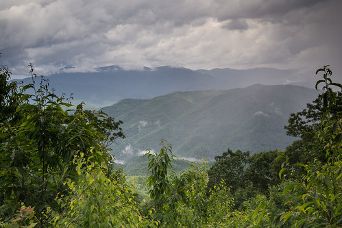
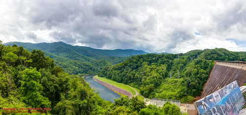
summer cloud storm nature misty clouds landscape view country wideangle appalachian
Stormy Smokeys
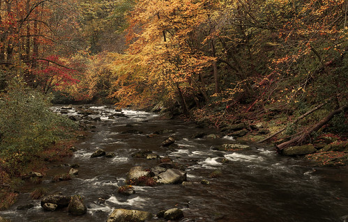
fallcolor 2017 color northcarolina nantahalarivergorge topton unitedstates us canonef24105mmf4lisusm
Bridge View of the Nantahala.
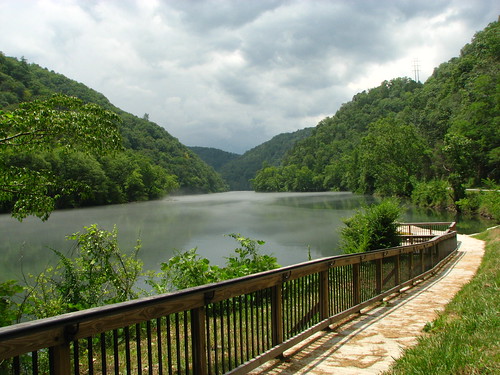
1001nightsmagiccity 1001nightsmagiccity1001nightsfontanadamnorthcarolinariverlittletennesseewatermountainrailingwalkwaysidewalk1001nights1001nightsmagiccity
View of the Little Tennessee River
longexposure summer blackandwhite monochrome creek river waterfall rocks stream july northcarolina waterfalls nantahala niksoftware silverefexpro andrewvernon nikond300s
Where the Paths Parted
usa landscape geotagged unitedstates hiking northcarolina backpacking hdr greatsmokymountainsnationalpark gsmnp fontanadam photomatix fontanavillage fontanalake canon7d sigma18250mmf3563dcmacrooshsm geo:lat=3545184436 geo:lon=8380236985
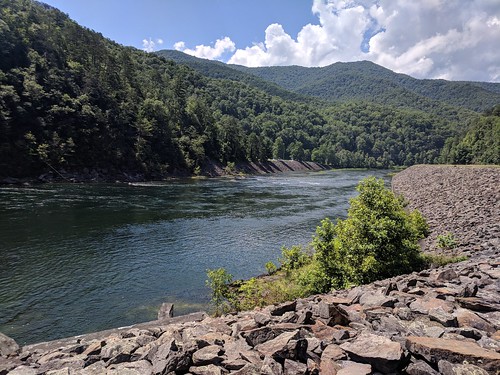
GSMNP Backpack Day 6 - June 28, 2014 - View Downstream of Fontana Dam
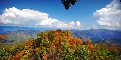
mountains clouds view
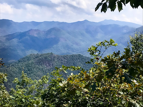
View from Cheoah Bald
Back to the Smokies in 33 days and counting
trees sky lake mountains water clouds forest sunrise canon dawn unitedstates northcarolina goldenhour blueridge greatsmokymountains moonshiner fontanadam us28 fontanalake eos6d
First Light
us raw unitedstates sony northcarolina fullframe alpha lightroom motd fontanadam twitter minionthedragon 500px a7r tumblr
View from the Dam
a view from a bridge
barbdpics nikond4 solar eclipse 2017 north carolina
Total Eclipse 2017
bald appalachian nantahala cheoah
Cheoah Bald
observation point maple springs joyce slickrock graham nantahala kilmer
Maple Springs Observation Point
sign nationalpark northcarolina highwaysign appalachiantrail greatsmokymountains fontanadam bentonmackayetrail swaincounty nikond800
140706-3175 Fontana Dam
hiking at ttknc05
View From Shook Stack
sky mountains landscape view northcarolina smokies fontanalake
Smokies-20110311-214.jpg
fontana view
view up
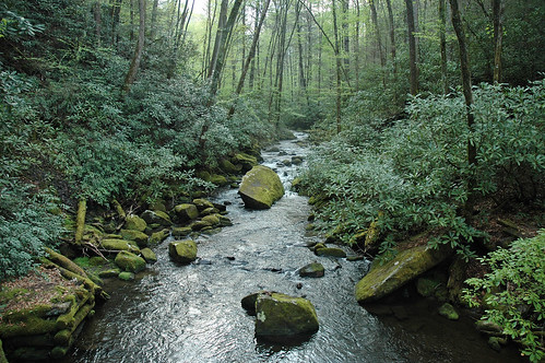
green nature forest stream naturesfinest joycekilmernationalforest
the sylvan way
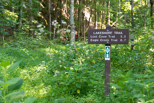
nationalpark northcarolina greatsmokymountains trailsign eaglecreektrail lakeshoretrail fontanalake bentonmackayetrail swaincounty lostcovetrail nikond800
140706-3168 Fontana Lake
observation point maple springs joyce slickrock graham nantahala kilmer
Maple Springs Observation Point
70d tva fontana dam fontanadam outdoors dusk dark night nightshot nightphotography power electricity electric nc mountains water
Fontana Dam 1 of 17
appalachiantrail northcarolina nantahalanationalforest
Cheroah Bald on AT
70d tva fontana dam fontanadam outdoors dusk dark night nightshot nightphotography power electricity electric nc mountains water blackandwhite bw monochrome
Fontana Dam 3 of 17
70d tva fontana dam fontanadam outdoors dusk dark night nightshot nightphotography power electricity electric nc mountains water blackandwhite bw monochrome
Fontana Dam 2 of 17
northcarolina ducati aprilia tenesse helenga triumphspeedtriple sigmalenses nikond700 cesardphotocom sigma2470mmf28dgaspex cesarldiazphotography superbikesinthesmokies
Superbikes in the Smokies - Day 1
ef24105mmf4lisusm moonshiner28 river canon f11 boat fishing fall northcarolina canoneos1dx littletennesseeriver autumn 24105
Little Tennessee River
longexposure summer water river square evening twilight rocks stream july northcarolina squareformat colorefexpro niksoftware andrewvernon nikond300s
A River's Twilight
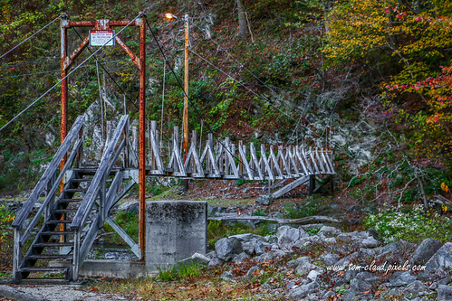
18.07 Smoky Mountain & Shenandoah Roadtrip
nantahalanationalforest nantahala appalachiantrail nantahalagorge hiking
Nantahala Gorge
trees sky mist mountains water fog clouds creek forest canon river haze rocks unitedstates northcarolina hills 6d fontanadam lowfog fontanalake lewellynbranch
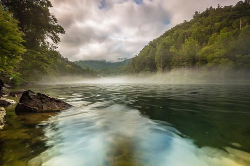
Creek of Fog
forest northcarolina hike trail nantahalanationalforest joycekilmermemorialforest lovephotography
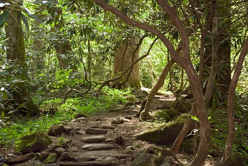
Into the Woods
lake creek nikon north canoe hazel carolina fontana proctor d90 18105mm
Hazel Creek
autumn fall nature landscape nc stream northcarolina joycekilmer
Joyce Kilmer Forest
usa geotagged unitedstates hiking northcarolina backpacking greatsmokymountainsnationalpark gsmnp fontanadam fontanavillage canon7d sigma18250mmf3563dcmacrooshsm geo:lat=3545261300 geo:lon=8380812800
GSMNP Backpack Day 6 - June 28, 2014 - Approaching Fontana Dam
dam northcarolina appalachian fontana tva tennesseevalleyauthority
Little Tennessee
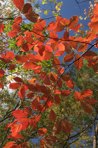
autumn fall colors leaves appalachians nc northcarolina landscape rocks mountains
Color Pallet
fontanadam northcarolina unitedstates
Fontana Dam II
bridge footbridge landscape restricted nature mountain northcarolina topton usa
Restricted Footbridge