Elevation of Roark, KY, USA
Location: United States > Kentucky > Leslie County >
Longitude: -83.515189
Latitude: 37.0225883
Elevation: 321m / 1053feet
Barometric Pressure: 98KPa
Elevation Map:
Satellite Map:
Related Photos:

Other prizes possessions
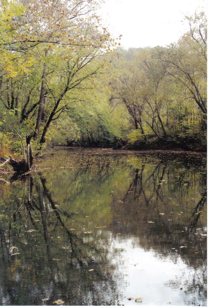
above low water bridge at Peabody
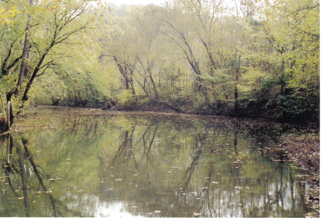
Above Peabody bridge Clay co. KY.
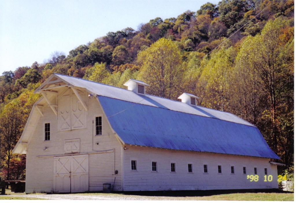
Old barn at Peabody KY
Double Creek below park

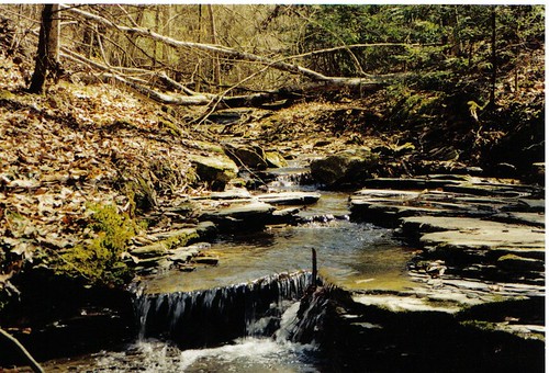
Stony Fork ( Bell Co ) - Kentucky

Stony Fork ( Bell Co ) - Kentucky

Stony Fork ( Bell Co ) - Kentucky

Stony Fork ( Bell Co ) - Kentucky

Stony Fork ( Bell Co ) - Kentucky
Topographic Map of Roark, KY, USA
Find elevation by address:

Places near Roark, KY, USA:
280 Sams Branch Rd
Essie
343-337
3700 State Hwy 406
Beverly
Mozelle
Nevada Lane
US-, Helton, KY, USA
Stinnett
Cr-1373
Helton
Leslie County
Bear Branch
1431-1427
2229 Buckeye Branch Rd
State Highway 2009
Bledsoe
Kentucky 221
Red Bird Rd, Thousandsticks, KY, USA
Hyden
Recent Searches:
- Elevation of Corso Fratelli Cairoli, 35, Macerata MC, Italy
- Elevation of Tallevast Rd, Sarasota, FL, USA
- Elevation of 4th St E, Sonoma, CA, USA
- Elevation of Black Hollow Rd, Pennsdale, PA, USA
- Elevation of Oakland Ave, Williamsport, PA, USA
- Elevation of Pedrógão Grande, Portugal
- Elevation of Klee Dr, Martinsburg, WV, USA
- Elevation of Via Roma, Pieranica CR, Italy
- Elevation of Tavkvetili Mountain, Georgia
- Elevation of Hartfords Bluff Cir, Mt Pleasant, SC, USA