Elevation of Beverly, KY, USA
Location: United States > Kentucky > Bell County >
Longitude: -83.5333361
Latitude: 36.9304756
Elevation: 386m / 1266feet
Barometric Pressure: 0KPa
Related Photos:

Hiking 01/08/13

Stony Fork ( Bell Co ) - Kentucky

Stony Fork ( Bell Co ) - Kentucky

Stony Fork ( Bell Co ) - Kentucky

Stony Fork ( Bell Co ) - Kentucky

Stony Fork ( Bell Co ) - Kentucky

Stony Fork ( Bell Co ) - Kentucky

Other prizes possessions
Empties at Little Creek
Welcome to the CV

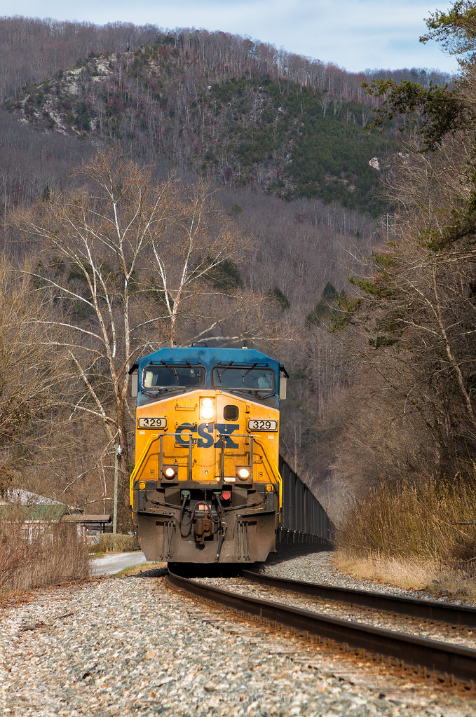
Straight Creek Success

Down the Straight
YN2's in CV Country

Four-spotted Owlfly - Ululodes quadripunctatus - Leslie County, Kentucky, USA - June 27, 2017

Stony Fork ( Bell Co ) - Kentucky

Super Soaker

Backlit Viall

Harlan County, Kentucky

Harlan County, Kentucky

Harlan County, Kentucky

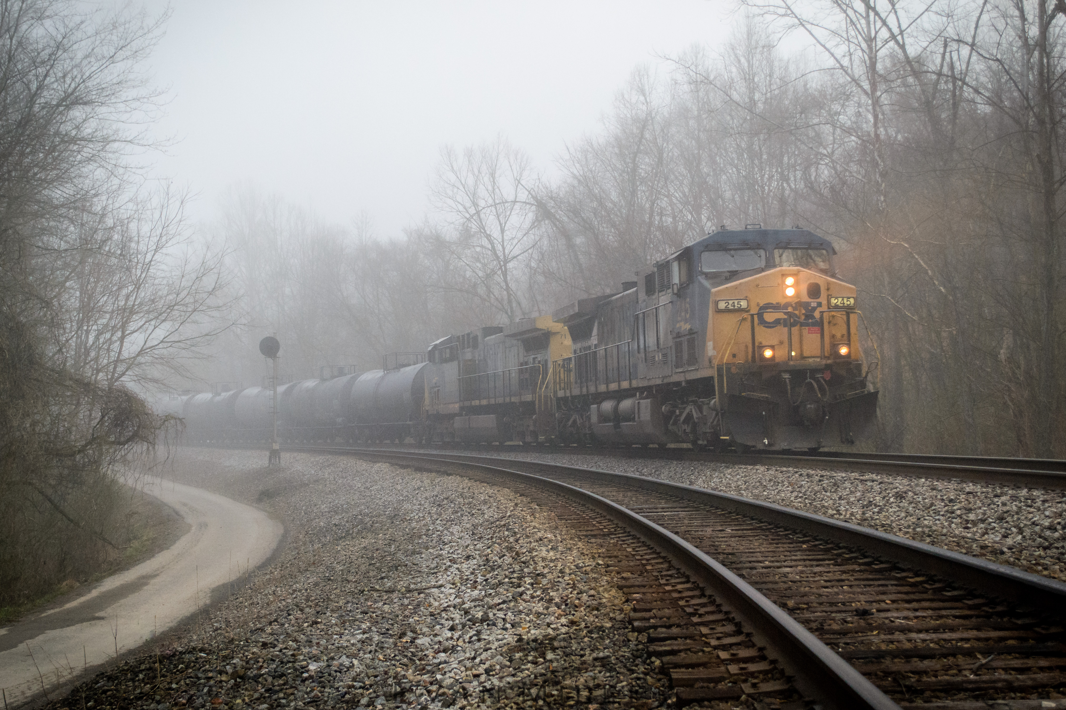
Fading Light

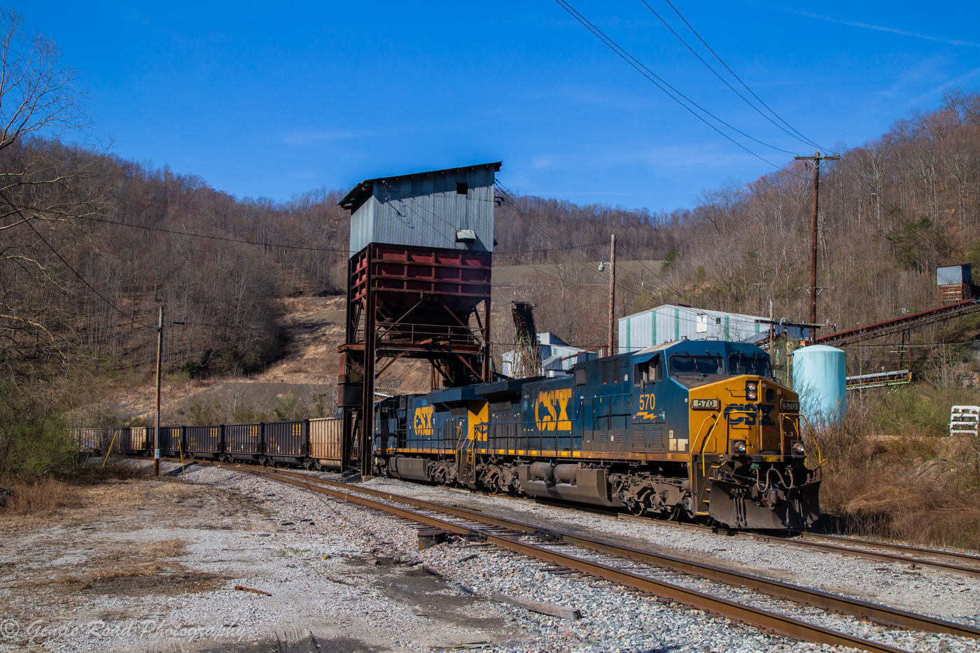
How Coal Moves

Loading at Wen-Lar

Protecting the Shove

Up Left Fork
Topographic Map of Beverly, KY, USA
Find elevation by address:

Places near Beverly, KY, USA:
1431-1427
Kentucky 221
Roark
280 Sams Branch Rd
2229 Buckeye Branch Rd
Nevada Lane
Old Highway 119
US-, Helton, KY, USA
Helton
Wallins Creek
Mozelle
Essie
State Highway 72
343-337
Hulen
Tremont Hill Rd, Wallins Creek, KY, USA
Bledsoe
3700 State Hwy 406
State Highway 2009
Browning Loop Spur
Recent Searches:
- Elevation map of Greenland, Greenland
- Elevation of Sullivan Hill, New York, New York, 10002, USA
- Elevation of Morehead Road, Withrow Downs, Charlotte, Mecklenburg County, North Carolina, 28262, USA
- Elevation of 2800, Morehead Road, Withrow Downs, Charlotte, Mecklenburg County, North Carolina, 28262, USA
- Elevation of Yangbi Yi Autonomous County, Yunnan, China
- Elevation of Pingpo, Yangbi Yi Autonomous County, Yunnan, China
- Elevation of Mount Malong, Pingpo, Yangbi Yi Autonomous County, Yunnan, China
- Elevation map of Yongping County, Yunnan, China
- Elevation of North 8th Street, Palatka, Putnam County, Florida, 32177, USA
- Elevation of 107, Big Apple Road, East Palatka, Putnam County, Florida, 32131, USA
- Elevation of Jiezi, Chongzhou City, Sichuan, China
- Elevation of Chongzhou City, Sichuan, China
- Elevation of Huaiyuan, Chongzhou City, Sichuan, China
- Elevation of Qingxia, Chengdu, Sichuan, China
- Elevation of Corso Fratelli Cairoli, 35, Macerata MC, Italy
- Elevation of Tallevast Rd, Sarasota, FL, USA
- Elevation of 4th St E, Sonoma, CA, USA
- Elevation of Black Hollow Rd, Pennsdale, PA, USA
- Elevation of Oakland Ave, Williamsport, PA, USA
- Elevation of Pedrógão Grande, Portugal