Elevation of Buckeye Branch Rd, Flat Lick, KY, USA
Location: United States > Kentucky > Knox County > Flat Lick >
Longitude: -83.650743
Latitude: 36.9502827
Elevation: 425m / 1394feet
Barometric Pressure: 96KPa
Elevation Map:
Satellite Map:
Related Photos:

Stony Fork ( Bell Co ) - Kentucky

Stony Fork ( Bell Co ) - Kentucky

Stony Fork ( Bell Co ) - Kentucky

Stony Fork ( Bell Co ) - Kentucky

Stony Fork ( Bell Co ) - Kentucky

Other prizes possessions
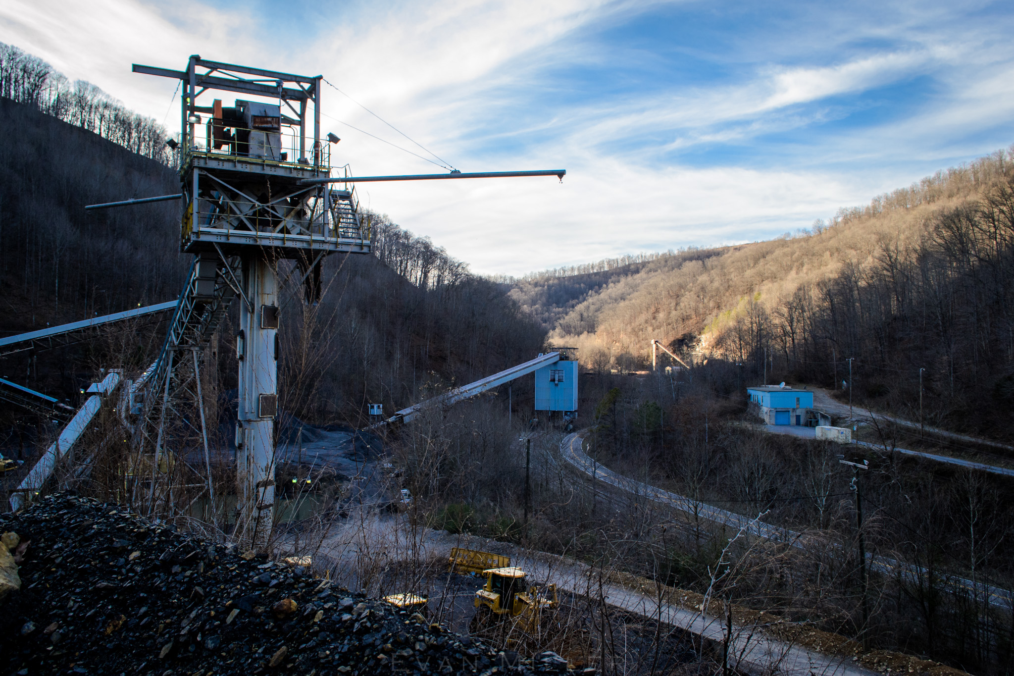
Land of Loadouts

Straight Creek Success

Down the Straight

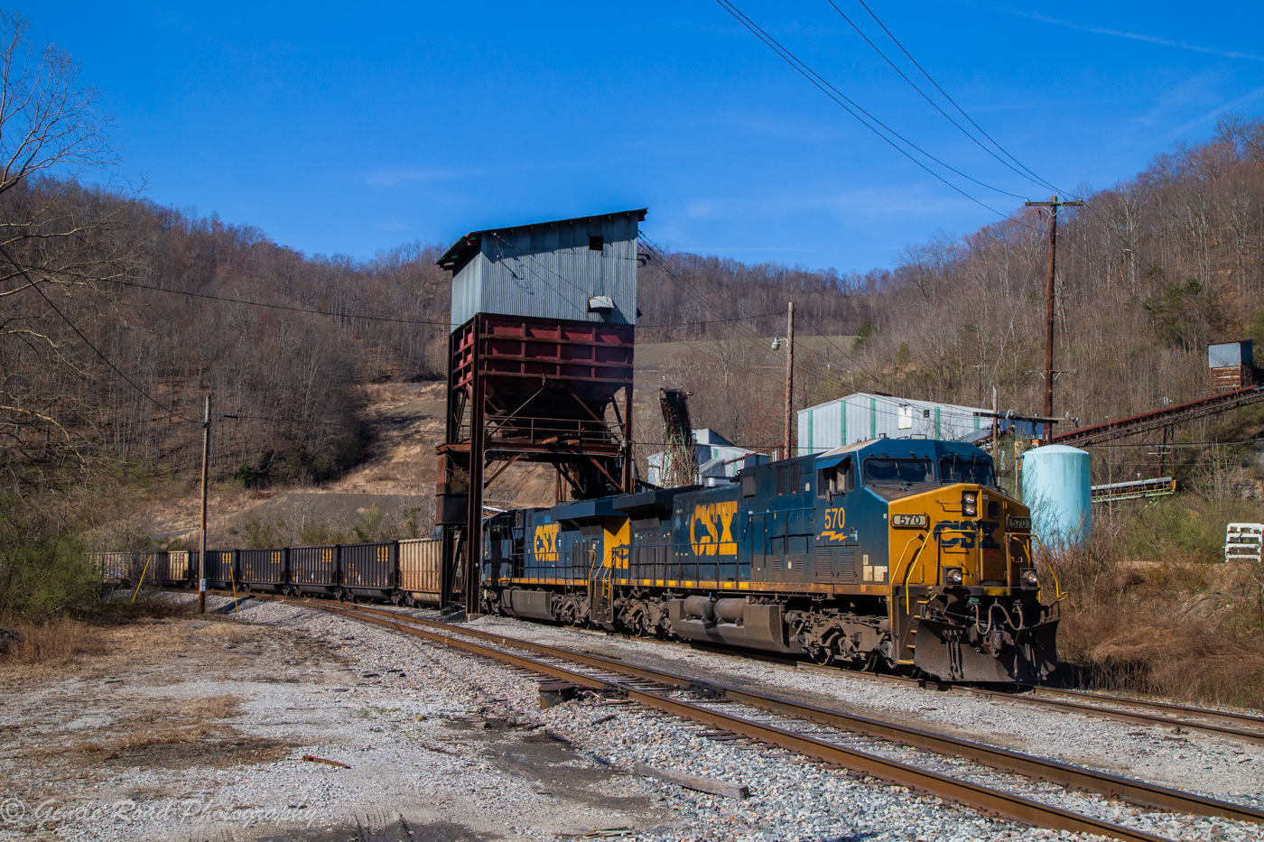
Loading at Wen-Lar
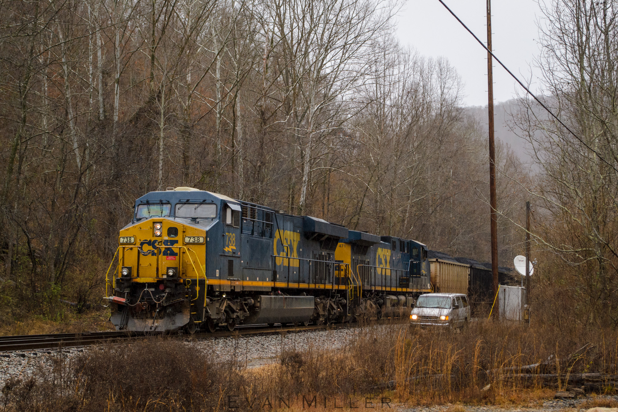
Empties at Little Creek

Train Time at Blanche

Super Soaker

The Land Time Forgot

Fading Light

How Coal Moves

Protecting the Shove

Up Left Fork

Field, Kentucky

Soggy Straight Creek

Busy Day
"I'll meet you at Little Creek"
Topographic Map of Buckeye Branch Rd, Flat Lick, KY, USA
Find elevation by address:

Places near Buckeye Branch Rd, Flat Lick, KY, USA:
4654 Stinking Creek Rd
Beverly
Lick Branch Road
Roark
Flat Lick
State Hwy, Flat Lick, KY, USA
State Highway 421
State Highway 421
Kentucky 221
1 Wilderness Trail, Pineville, KY, USA
Pine St, Pineville, KY, USA
Pineville
Under His Wings Family Center
KY-, Flat Lick, KY, USA
Bimble
Old Highway 119
1431-1427
US-, Manchester, KY, USA
Slusher Loop Middle
Browning Loop Spur
Recent Searches:
- Elevation of Corso Fratelli Cairoli, 35, Macerata MC, Italy
- Elevation of Tallevast Rd, Sarasota, FL, USA
- Elevation of 4th St E, Sonoma, CA, USA
- Elevation of Black Hollow Rd, Pennsdale, PA, USA
- Elevation of Oakland Ave, Williamsport, PA, USA
- Elevation of Pedrógão Grande, Portugal
- Elevation of Klee Dr, Martinsburg, WV, USA
- Elevation of Via Roma, Pieranica CR, Italy
- Elevation of Tavkvetili Mountain, Georgia
- Elevation of Hartfords Bluff Cir, Mt Pleasant, SC, USA