Elevation of Nevada Lane, Nevada Ln, Kentucky, USA
Location: United States > Kentucky > Leslie County > Helton >
Longitude: -83.414001
Latitude: 36.94605
Elevation: 481m / 1578feet
Barometric Pressure: 96KPa
Elevation Map:
Satellite Map:
Related Photos:
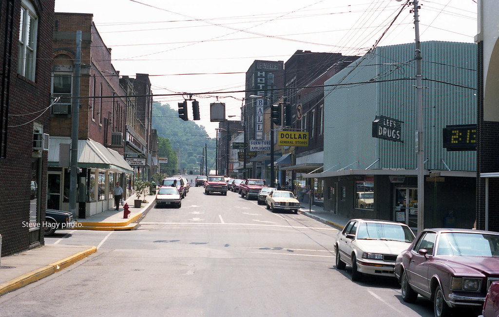
Harlan KY Main Street in 1989

Harlan, Kentucky - April 1985

Harlan - Clover Fork River Bridge

Aerial View of Harlan KY

Harlan, Kentucky - April 1985 #1

Birds Eye View of Harlan, Kentucky

Rollin' In

L&N Memories

Stony Fork ( Bell Co ) - Kentucky

Black Motor Company Harlan KY

Stony Fork ( Bell Co ) - Kentucky

Stony Fork ( Bell Co ) - Kentucky

Harlan, Kentucky

Stony Fork ( Bell Co ) - Kentucky

Harlan, Kentucky

Stony Fork ( Bell Co ) - Kentucky

Stony Fork ( Bell Co ) - Kentucky

Kudzu-Covered Hillside — Bledsoe Vicinity, Harlan County, Kentucky

Hiking 01/08/13
Topographic Map of Nevada Lane, Nevada Ln, Kentucky, USA
Find elevation by address:

Places near Nevada Lane, Nevada Ln, Kentucky, USA:
Helton
US-, Helton, KY, USA
Bledsoe
Mozelle
280 Sams Branch Rd
1431-1427
State Highway 2009
Tremont Hill Rd, Wallins Creek, KY, USA
Wallins Creek
Sukey Ridge Rd, Baxter, KY, USA
343-337
Baxter
Beverly
Essie
Roark
Leslie County
Kentucky 221
Harlan
3700 State Hwy 406
US-, Harlan, KY, USA
Recent Searches:
- Elevation of Corso Fratelli Cairoli, 35, Macerata MC, Italy
- Elevation of Tallevast Rd, Sarasota, FL, USA
- Elevation of 4th St E, Sonoma, CA, USA
- Elevation of Black Hollow Rd, Pennsdale, PA, USA
- Elevation of Oakland Ave, Williamsport, PA, USA
- Elevation of Pedrógão Grande, Portugal
- Elevation of Klee Dr, Martinsburg, WV, USA
- Elevation of Via Roma, Pieranica CR, Italy
- Elevation of Tavkvetili Mountain, Georgia
- Elevation of Hartfords Bluff Cir, Mt Pleasant, SC, USA