Elevation of Rivoppvegen, Bagn, Norway
Location: Norway > Oppland > Sør-aurdal >
Longitude: 9.3273101
Latitude: 60.6926571
Elevation: 853m / 2799feet
Barometric Pressure: 0KPa
Related Photos:

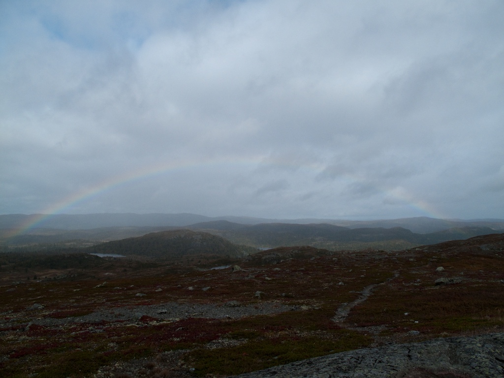
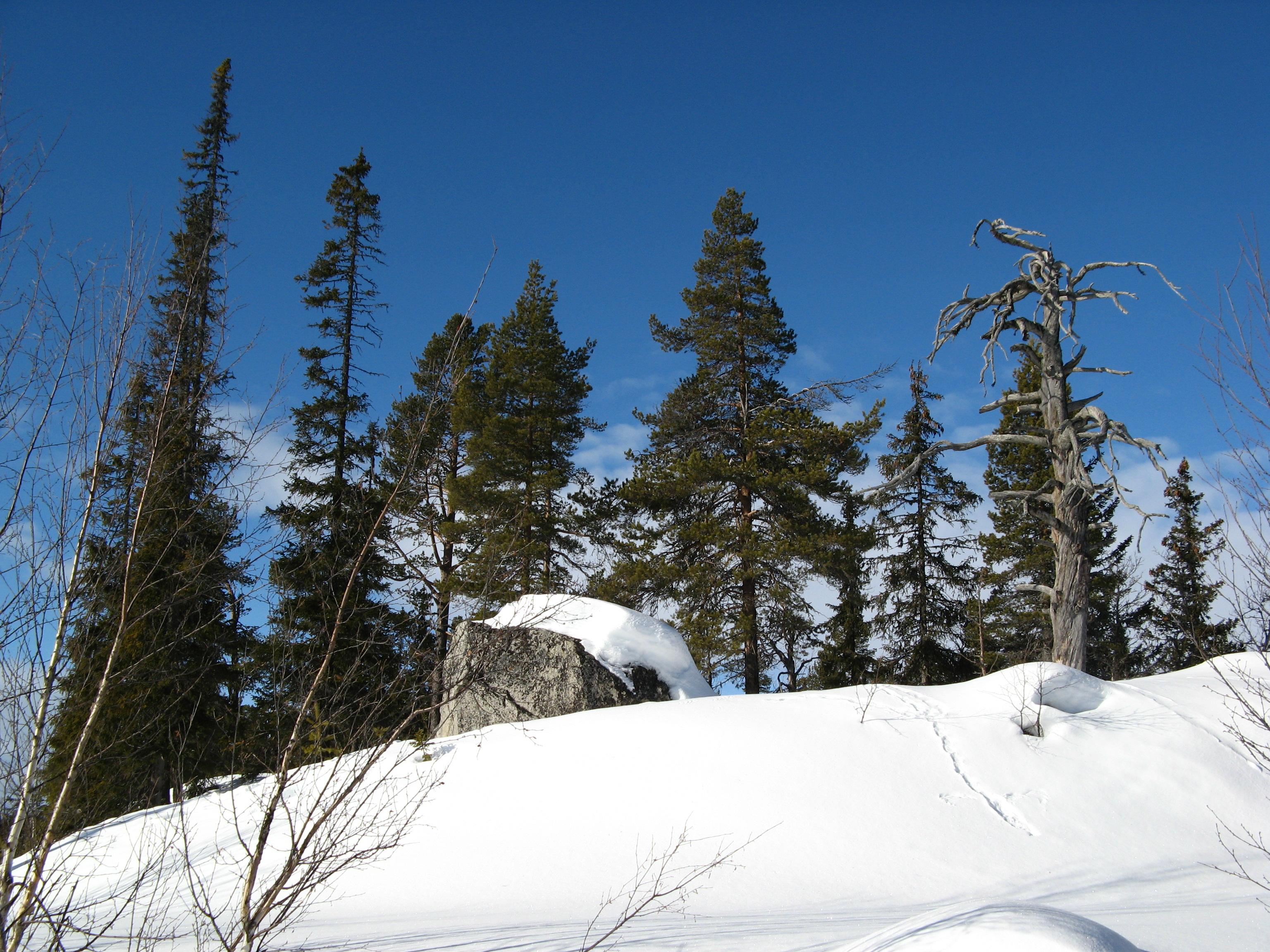
Green dream

Blaue Stunde

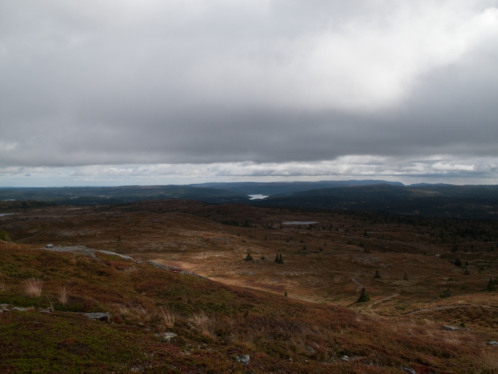
The view
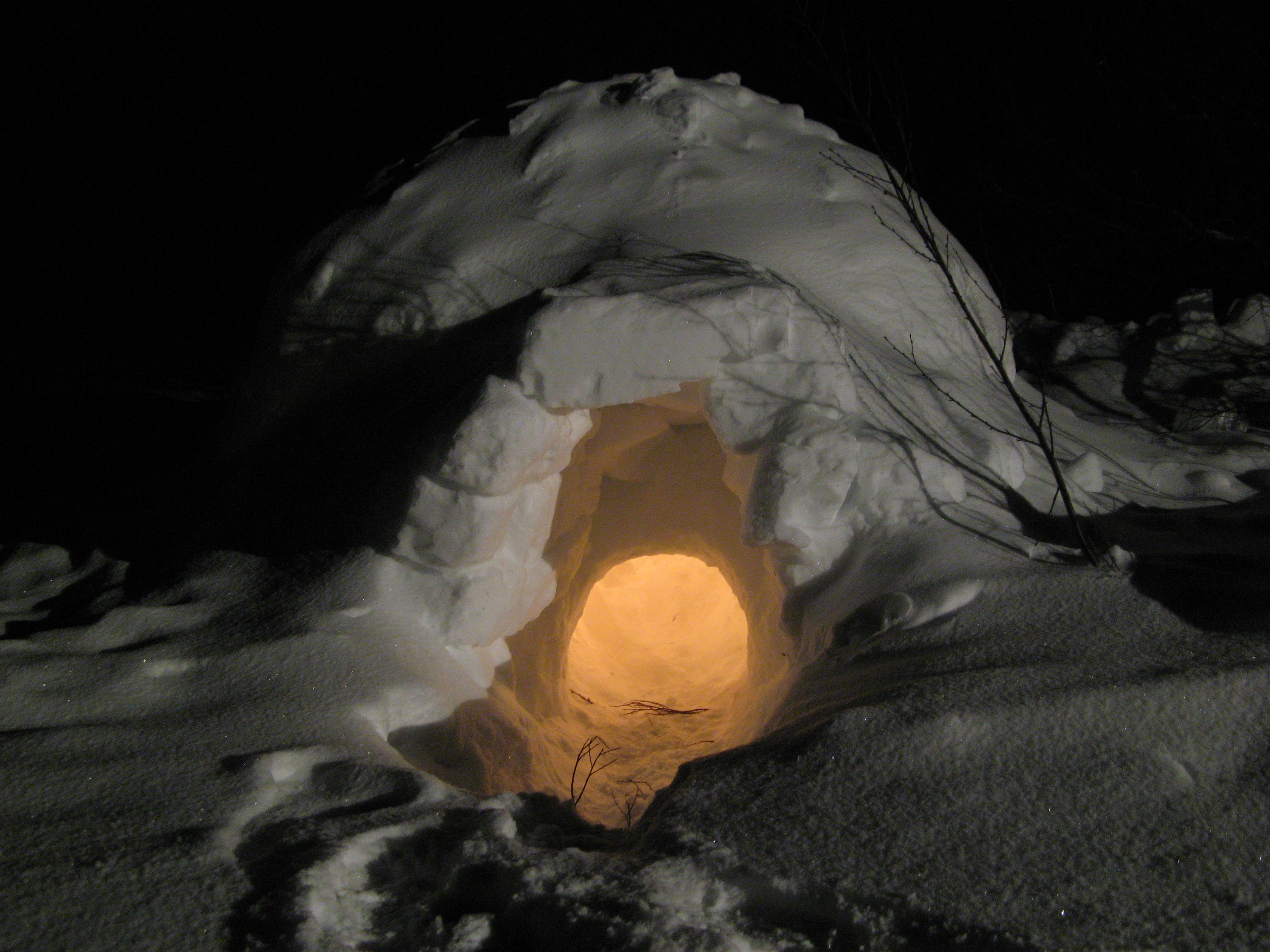
Igloo at Night

Starry Sky

Illuminated Igloo

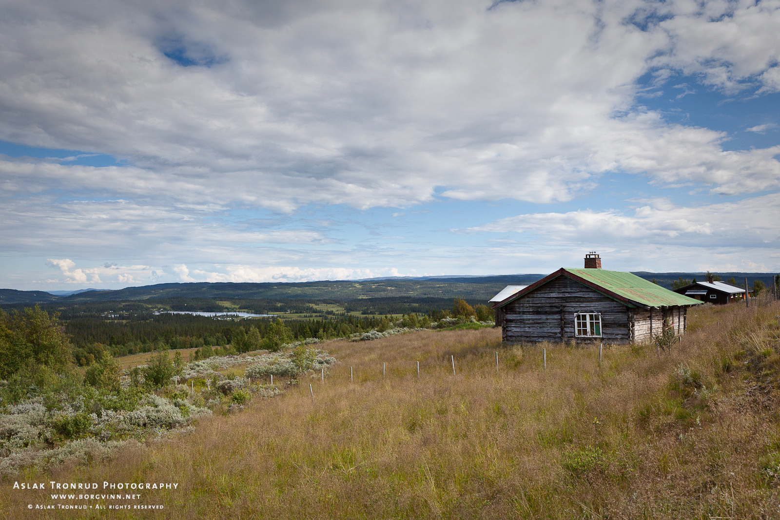
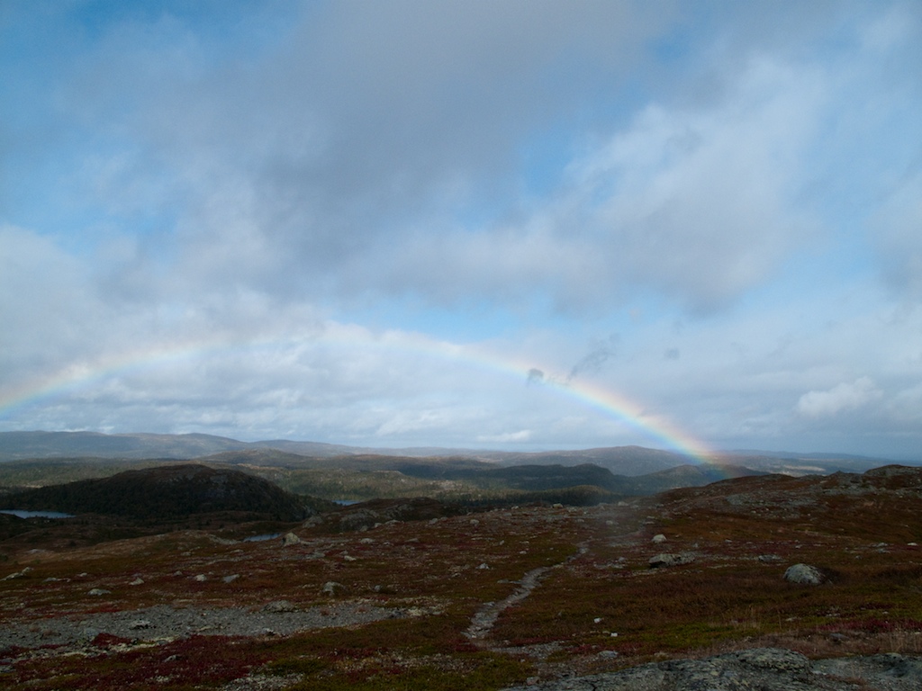
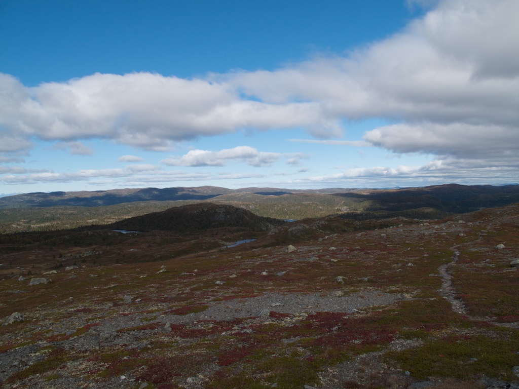
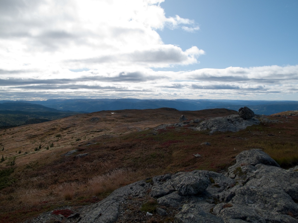
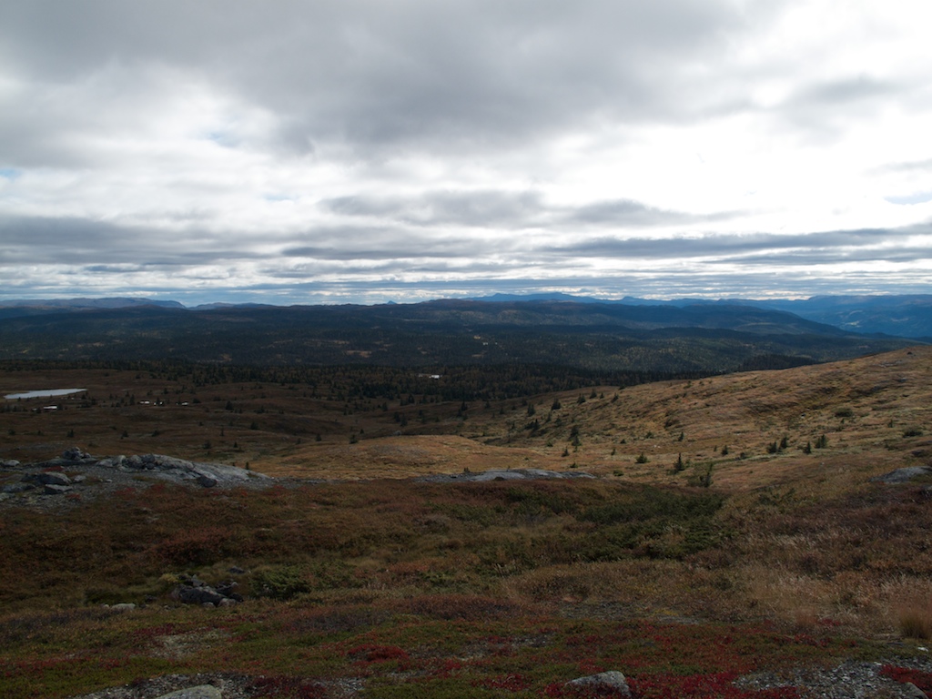
View of the Fjell
Høvreslia, Valdres
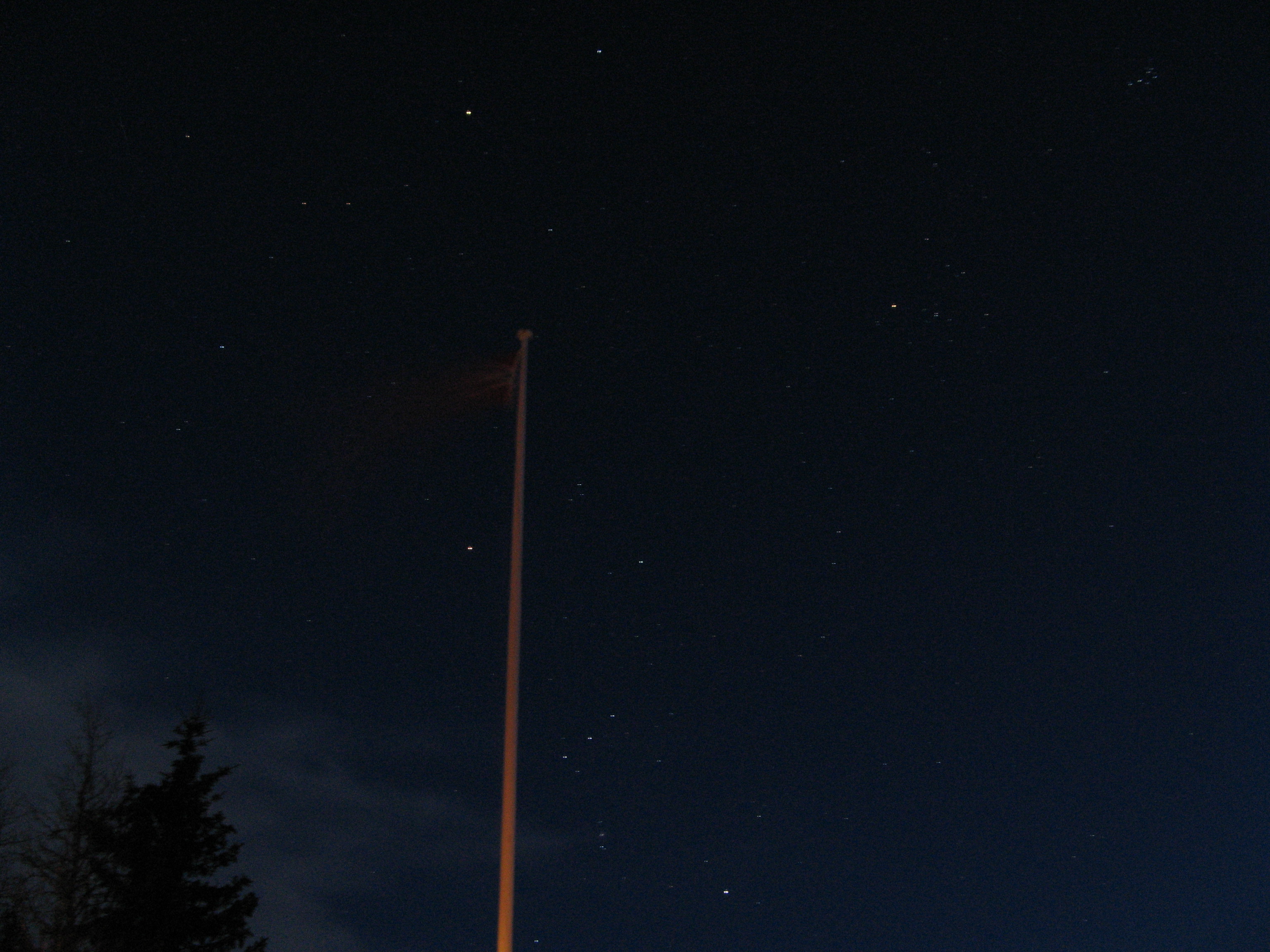
Flagpole and Stars
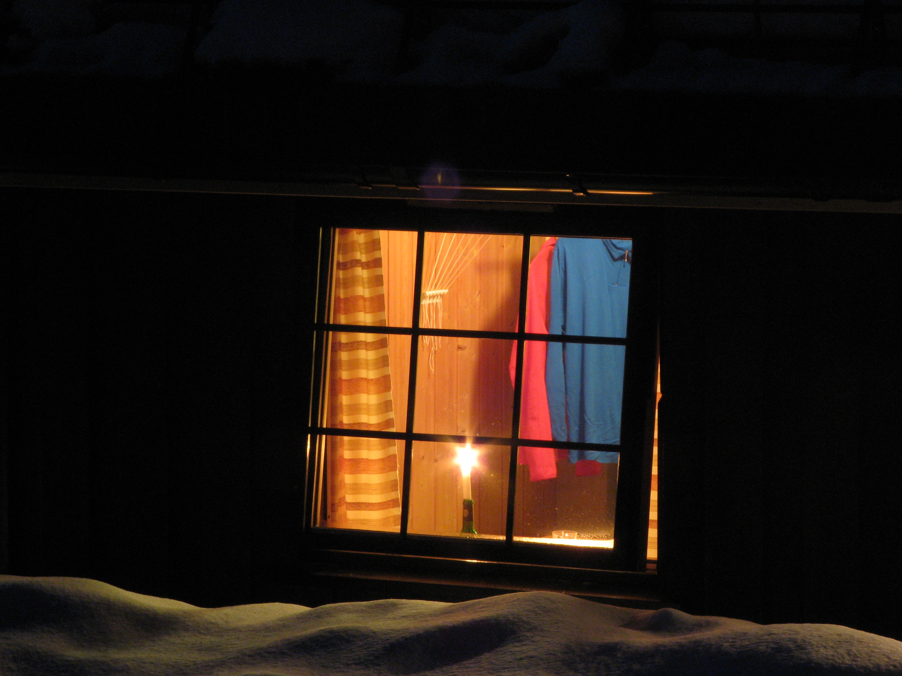
Candle in the Window
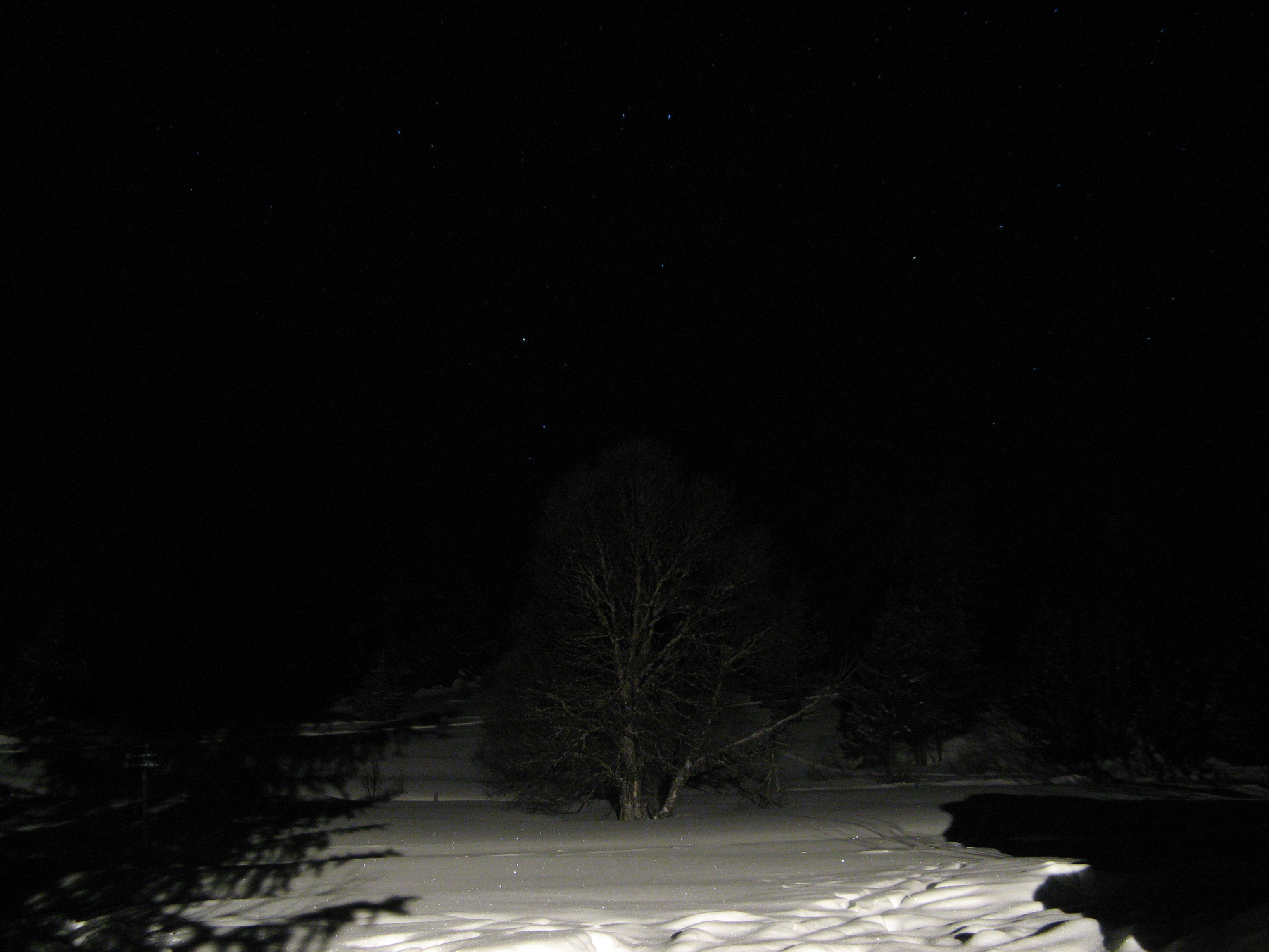
Tree at Night
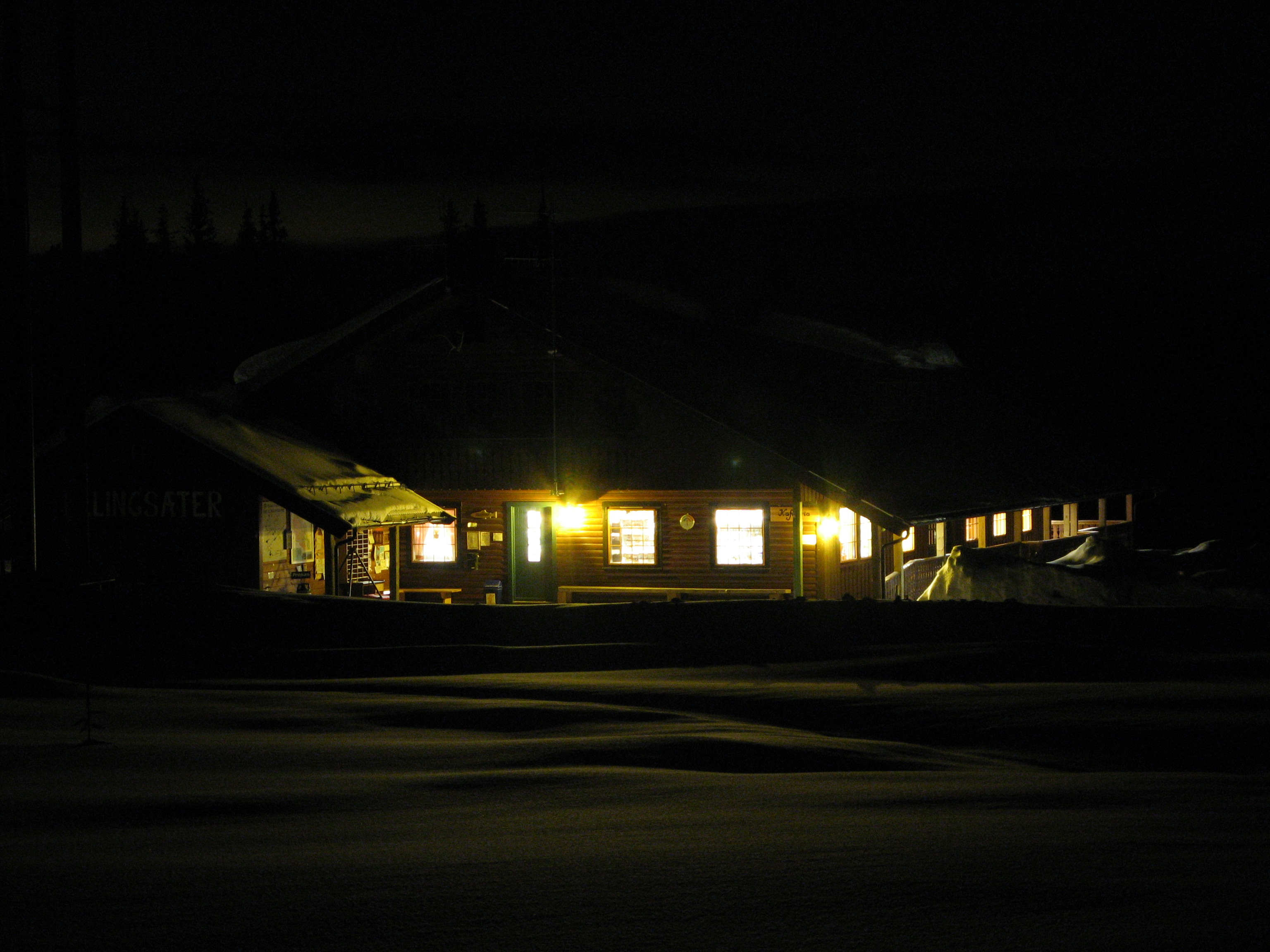
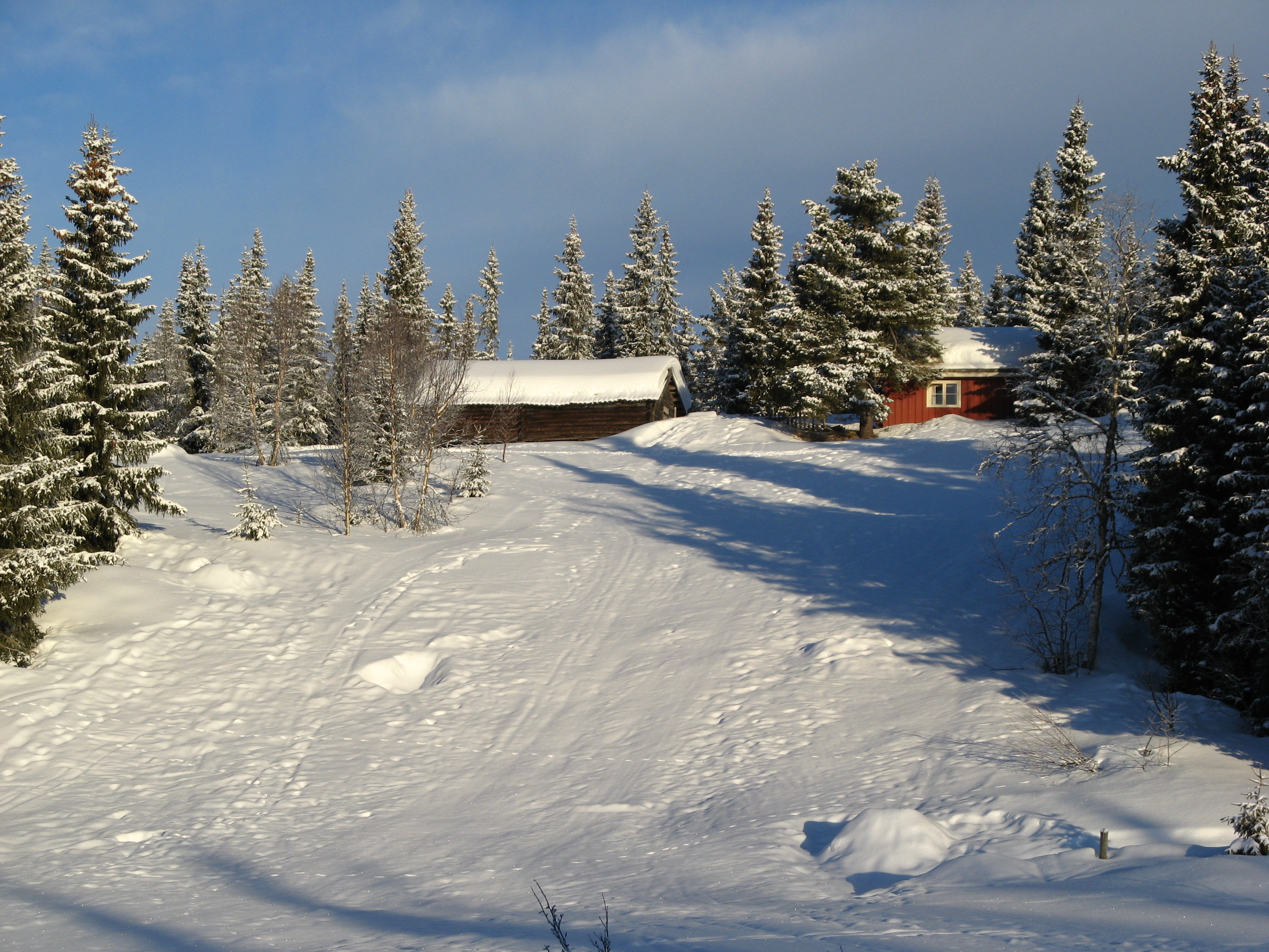
Ellingsæter Sport & Turistsenter
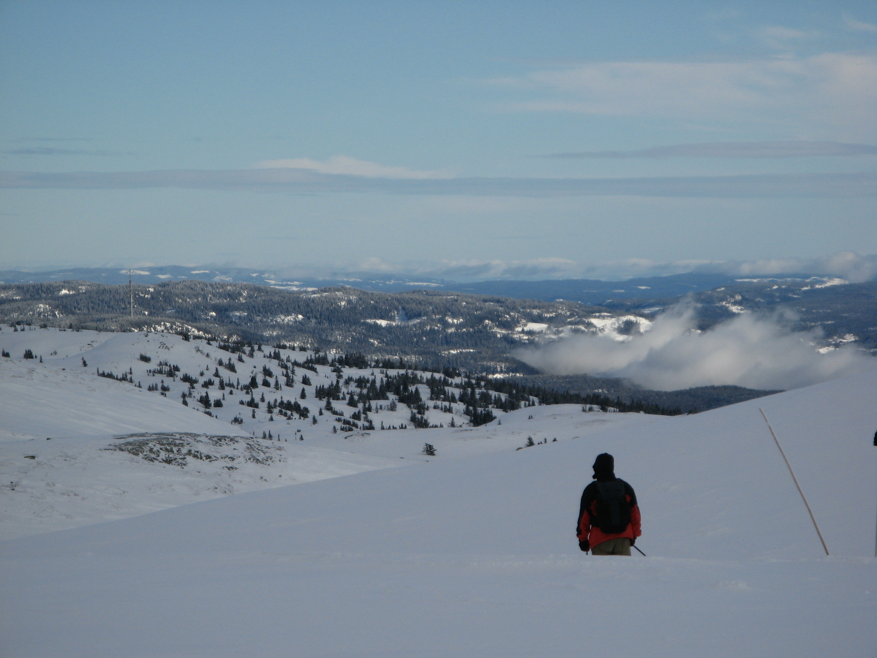
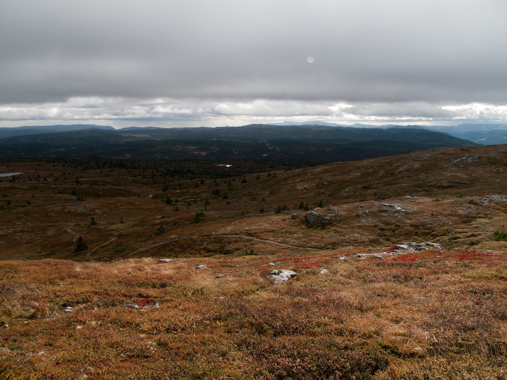
View from Bjødalsfjellet
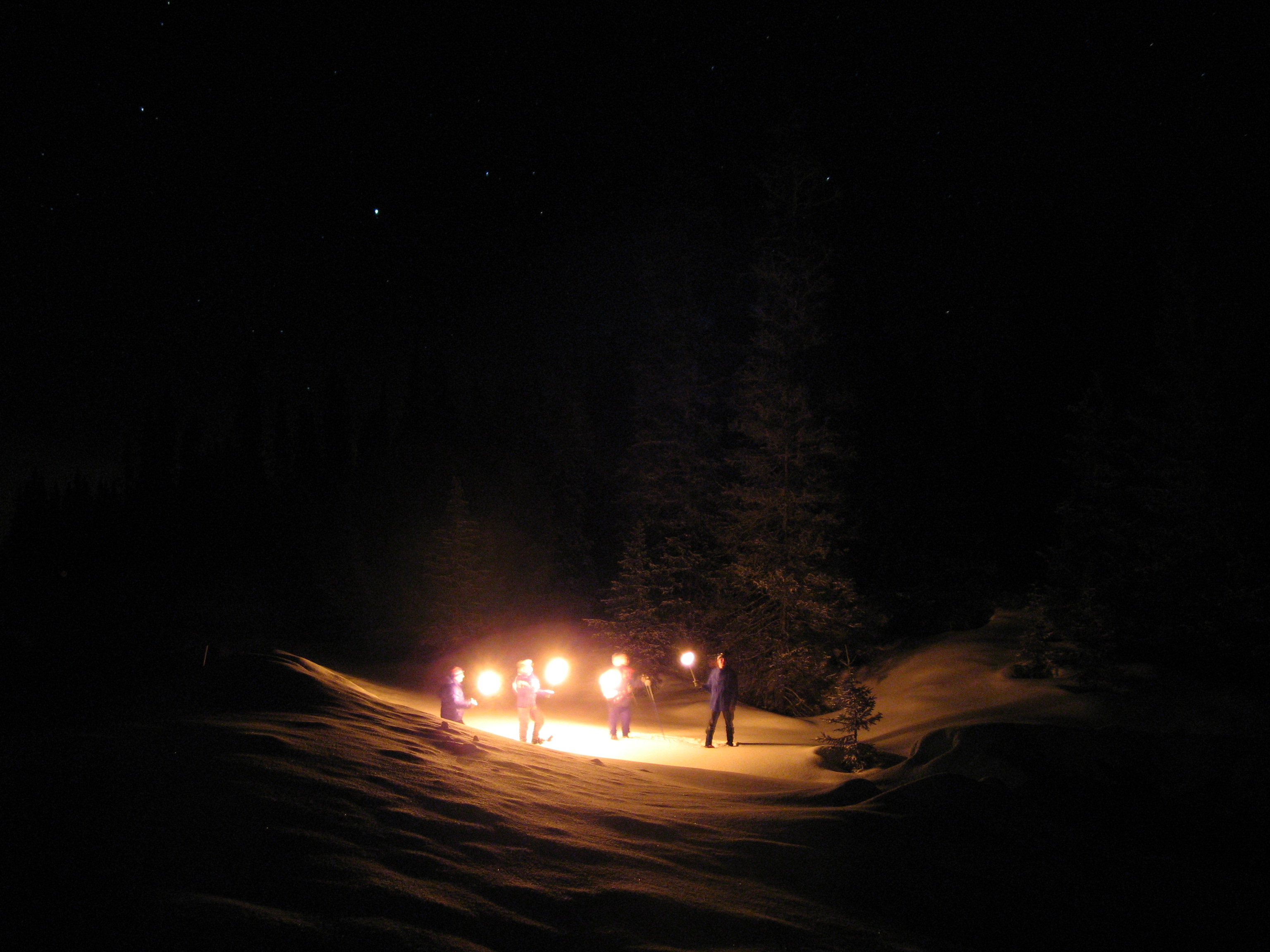
Nite Hike
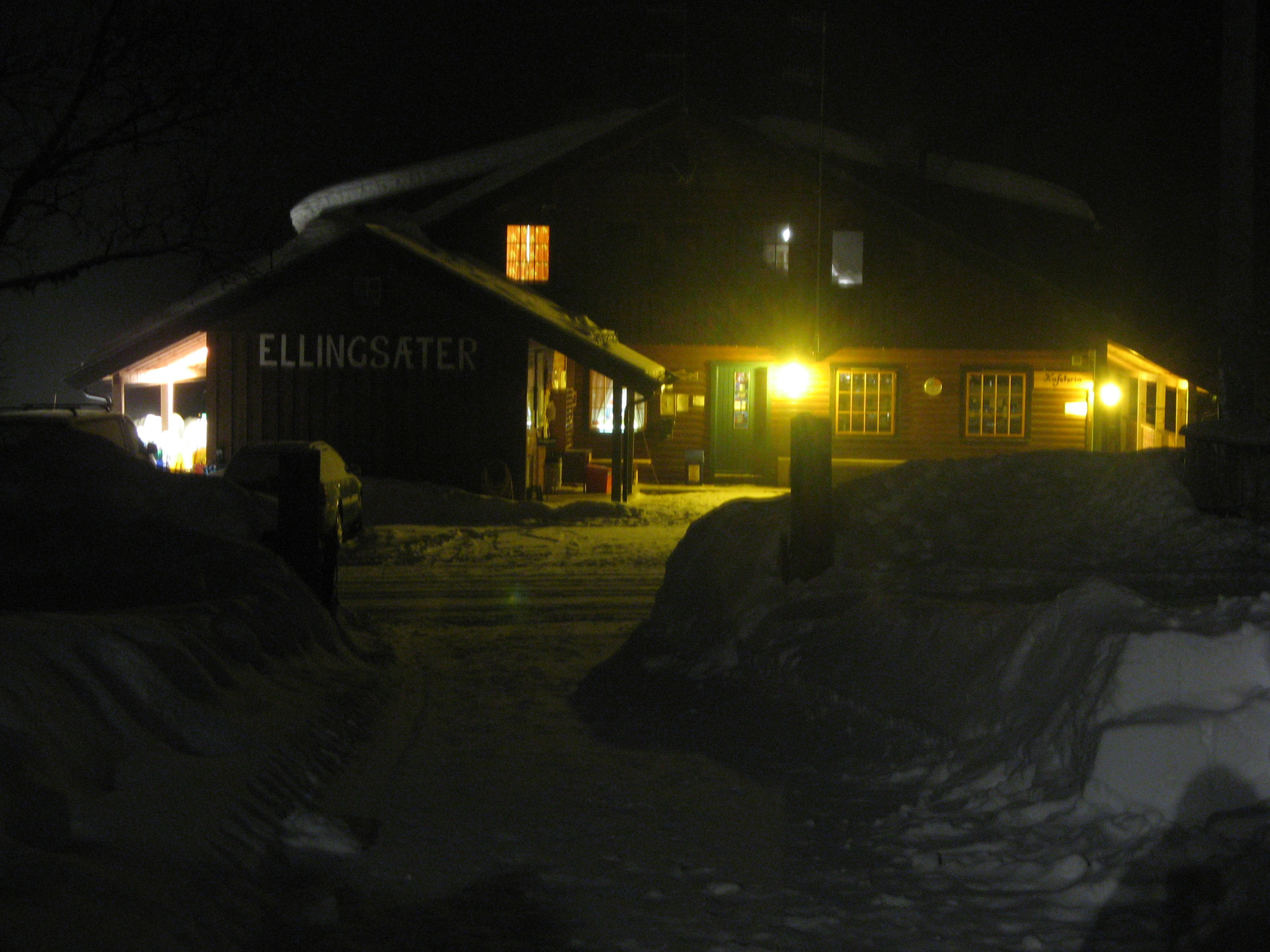
Ellingsæter

Nite Hike
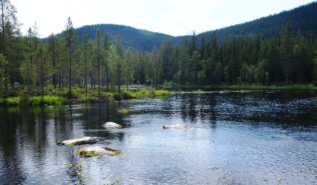
Suluvann - utløp
Big mountain ride

Big mountain ride
Big mountain ride
Big mountain ride
Meitebekksætri
Big mountain ride
Big mountain ride
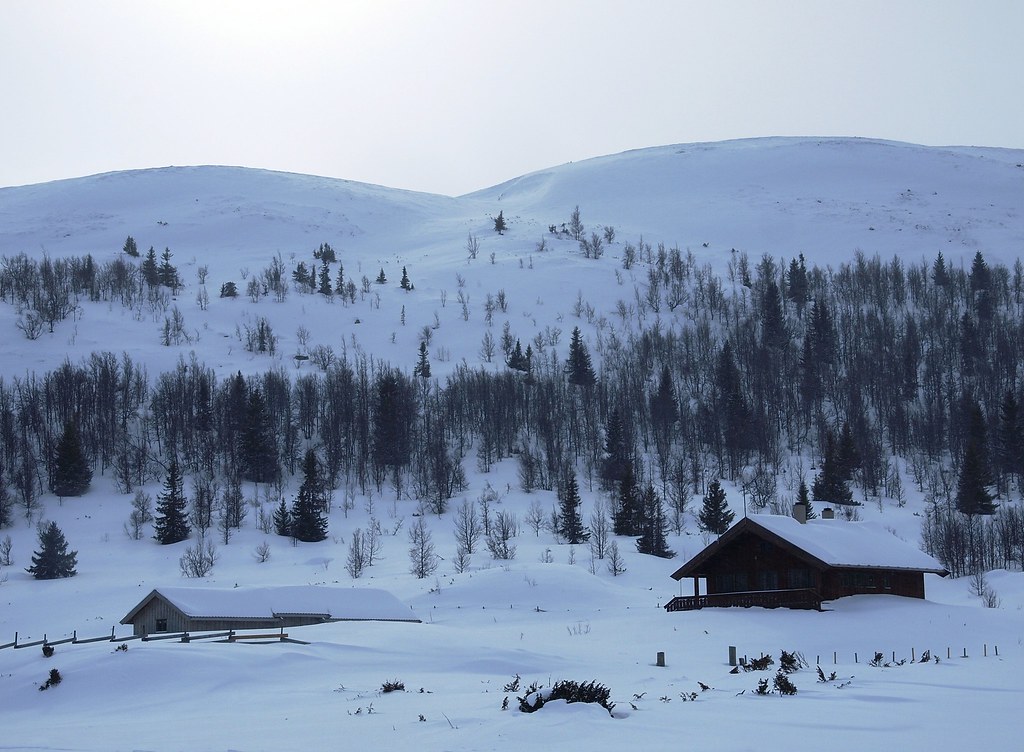
Winter Landscape
Big mountain ride
Ellingsæter
Big mountain ride
Topographic Map of Rivoppvegen, Bagn, Norway
Find elevation by address:

Places near Rivoppvegen, Bagn, Norway:
Reinli
Nesbyen
Bagn
Sør-aurdal
Hølera
Fagernes
Nes
Rv, Etnedal, Norway
Gol
Etnedal
Solstad Hotel And Motel As
Røn
Gol
Ålfjell
Slidre
Convenience Store Mykingsjøen Kolonial
Hegge
Vestre Slidre Municipality
Dølsvestubben 9
Skammestein
Recent Searches:
- Elevation map of Nagano Prefecture, Japan
- Elevation of 587, Bascule Drive, Oakdale, Stanislaus County, California, 95361, USA
- Elevation of Stadion Wankdorf, Sempachstrasse, Breitfeld, Bern, Bern-Mittelland administrative district, Bern, 3014, Switzerland
- Elevation of Z024, 76, Emil-von-Behring-Straße, Marbach, Marburg, Landkreis Marburg-Biedenkopf, Hesse, 35041, Germany
- Elevation of Gaskill Road, Hunts Cross, Liverpool, England, L24 9PH, United Kingdom
- Elevation of Speke, Liverpool, England, L24 9HD, United Kingdom
- Elevation of Seqirus, 475, Green Oaks Parkway, Holly Springs, Wake County, North Carolina, 27540, USA
- Elevation of Pasing, Munich, Bavaria, 81241, Germany
- Elevation of 24, Auburn Bay Crescent SE, Auburn Bay, Calgary, Alberta, T3M 0A6, Canada
- Elevation of Denver, 2314, Arapahoe Street, Five Points, Denver, Colorado, 80205, USA
- Elevation of Community of the Beatitudes, 2924, West 43rd Avenue, Sunnyside, Denver, Colorado, 80211, USA
- Elevation map of Litang County, Sichuan, China
- Elevation map of Madoi County, Qinghai, China
- Elevation of 3314, Ohio State Route 114, Payne, Paulding County, Ohio, 45880, USA
- Elevation of Sarahills Drive, Saratoga, Santa Clara County, California, 95070, USA
- Elevation of Town of Bombay, Franklin County, New York, USA
- Elevation of 9, Convent Lane, Center Moriches, Suffolk County, New York, 11934, USA
- Elevation of Saint Angelas Convent, 9, Convent Lane, Center Moriches, Suffolk County, New York, 11934, USA
- Elevation of 131st Street Southwest, Mukilteo, Snohomish County, Washington, 98275, USA
- Elevation of 304, Harrison Road, Naples, Cumberland County, Maine, 04055, USA