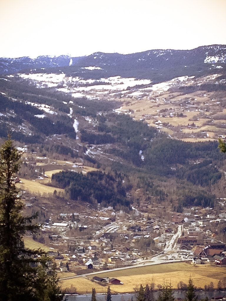
Elevation of Bagn, Norway
Location: Norway > Oppland >
Longitude: 9.5520722
Latitude: 60.8224903
Elevation: 266m / 873feet
Barometric Pressure: 98KPa
Elevation Map:
Satellite Map:
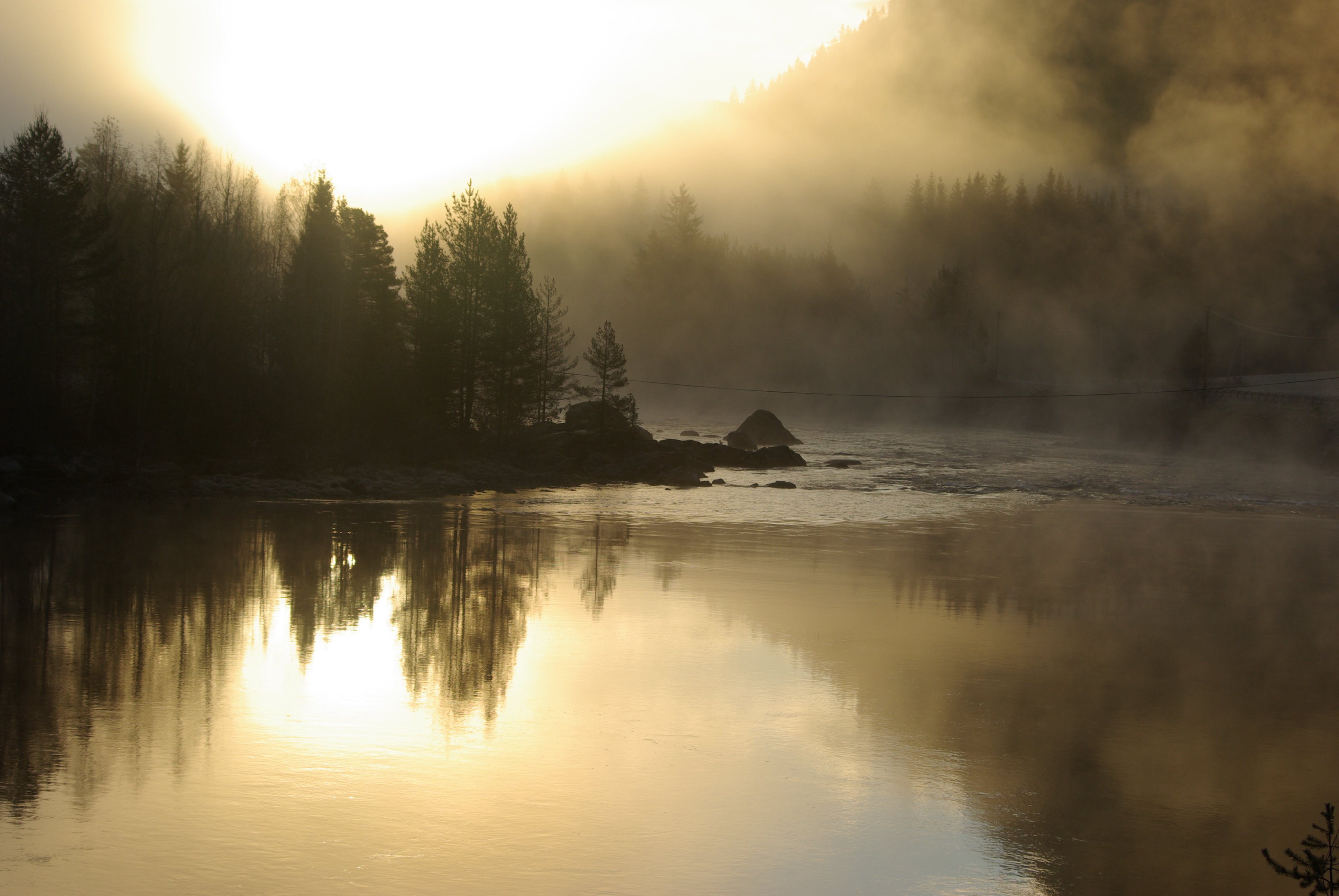
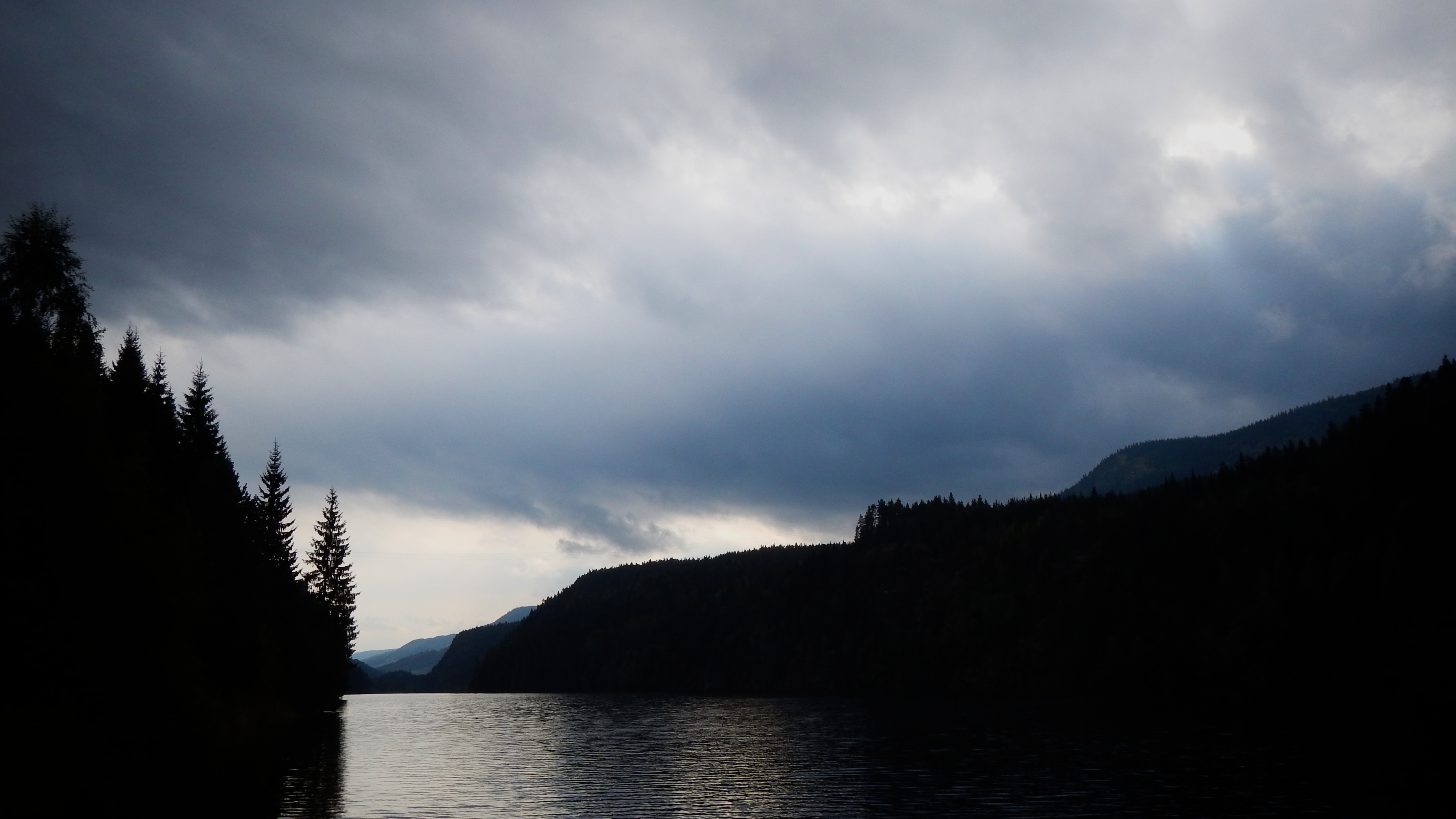
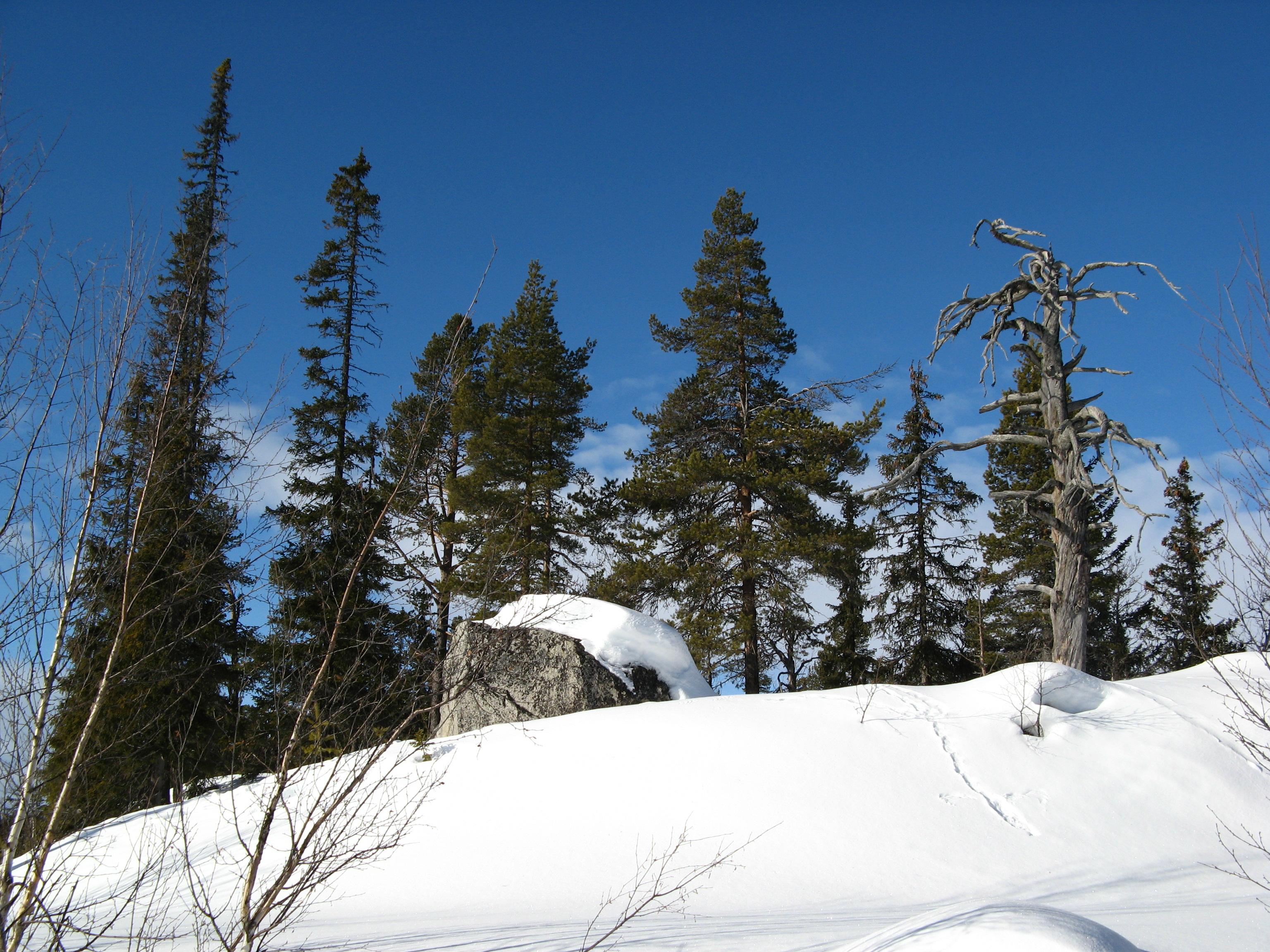
Related Photos:

Blaue Stunde
Igloo at Night

Starry Sky

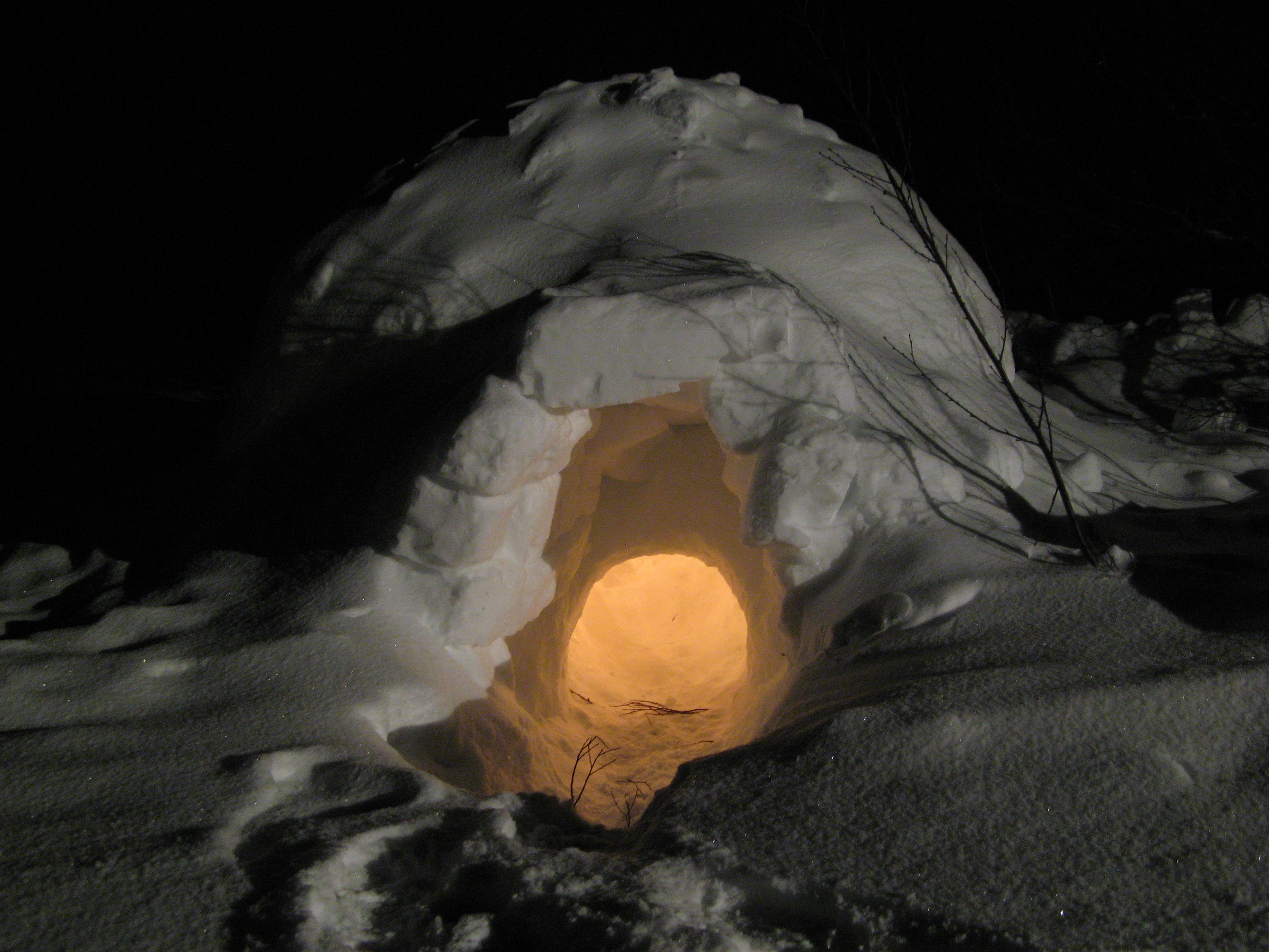
Illuminated Igloo
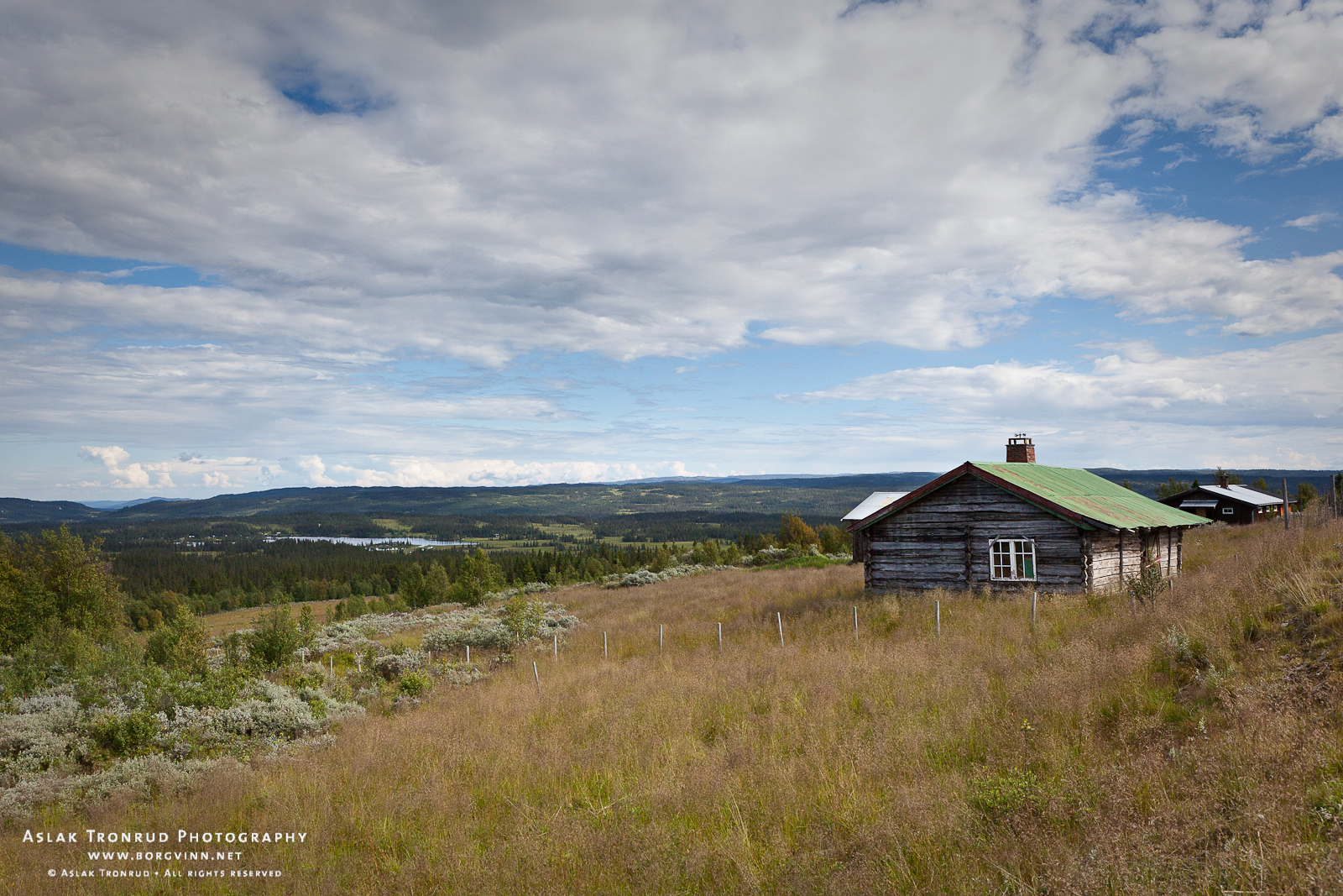
Høvreslia, Valdres
Flagpole and Stars
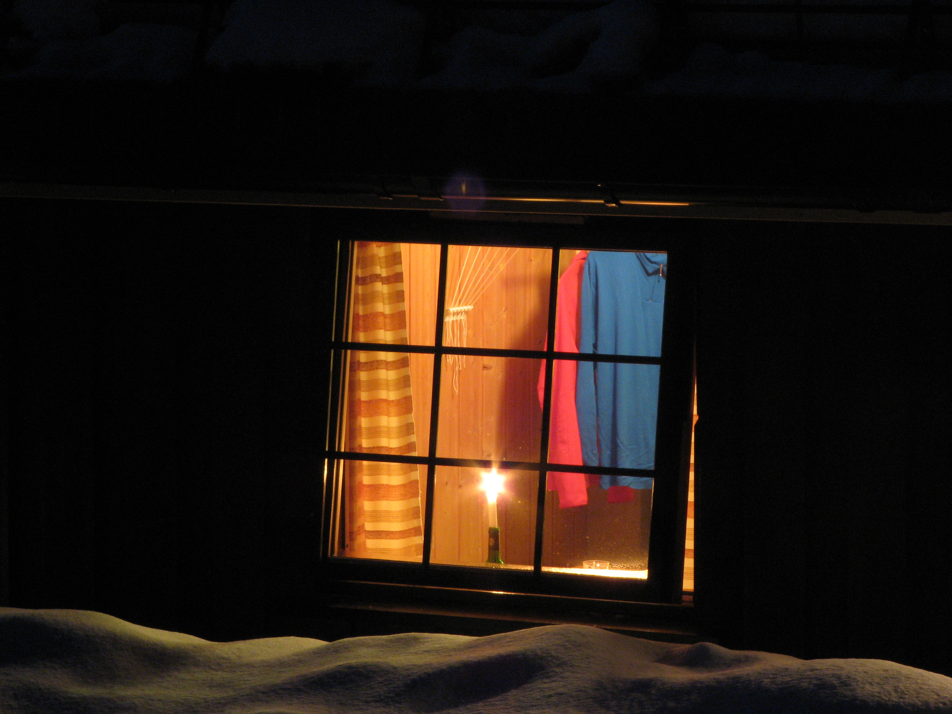
Candle in the Window
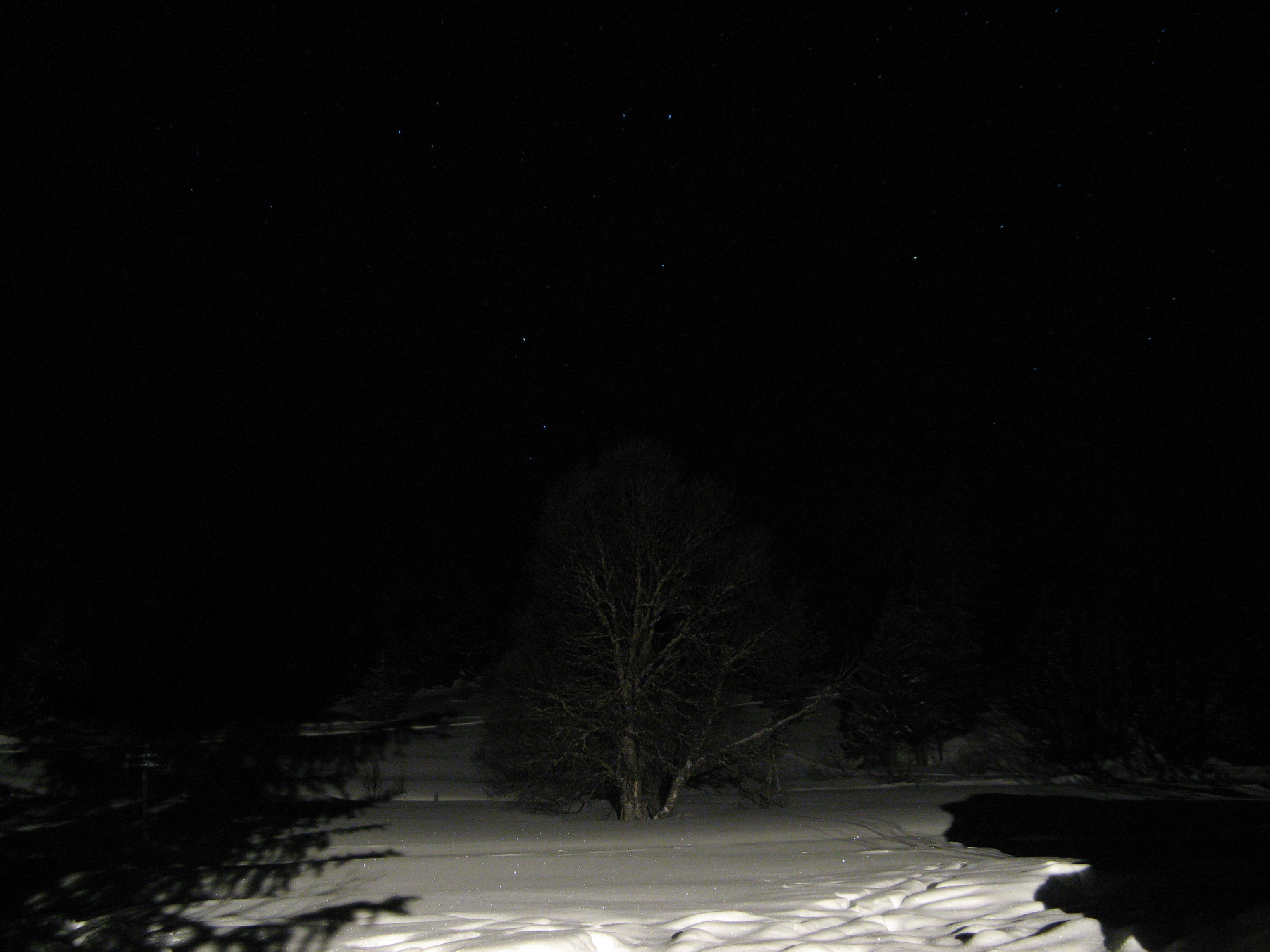
Tree at Night
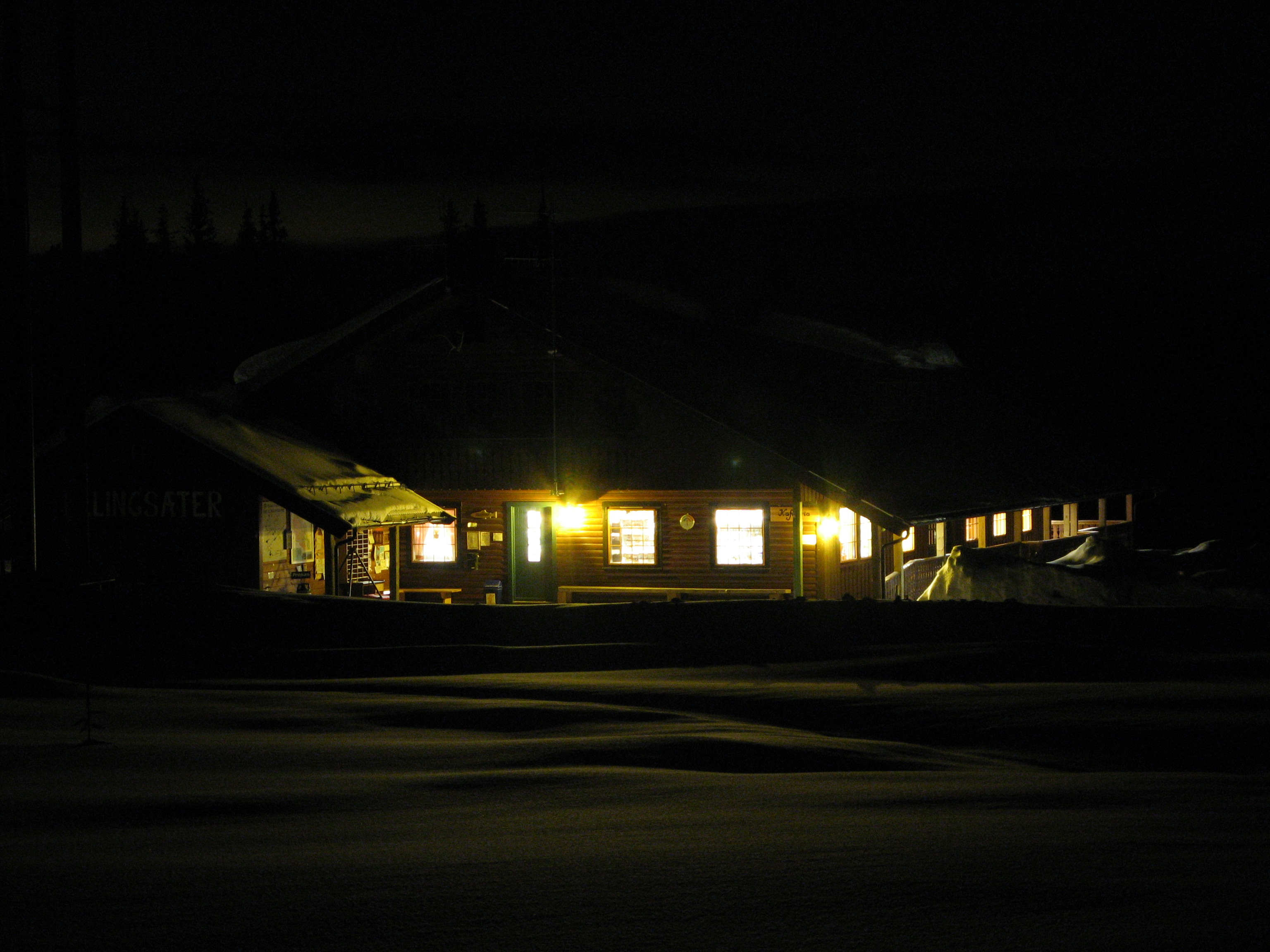
Ellingsæter Sport & Turistsenter
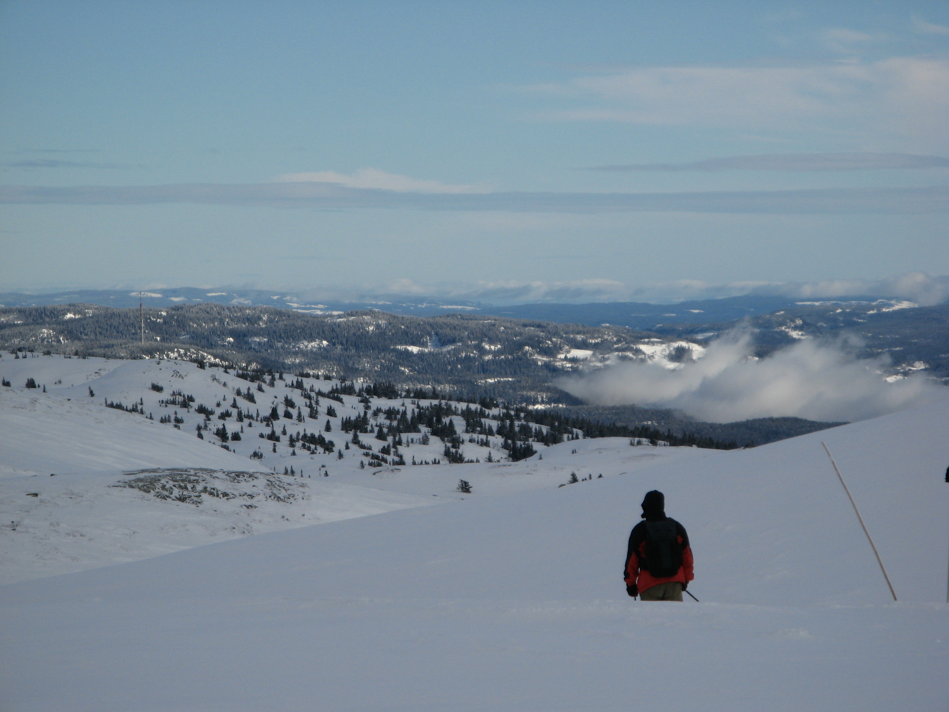
View from Bjødalsfjellet
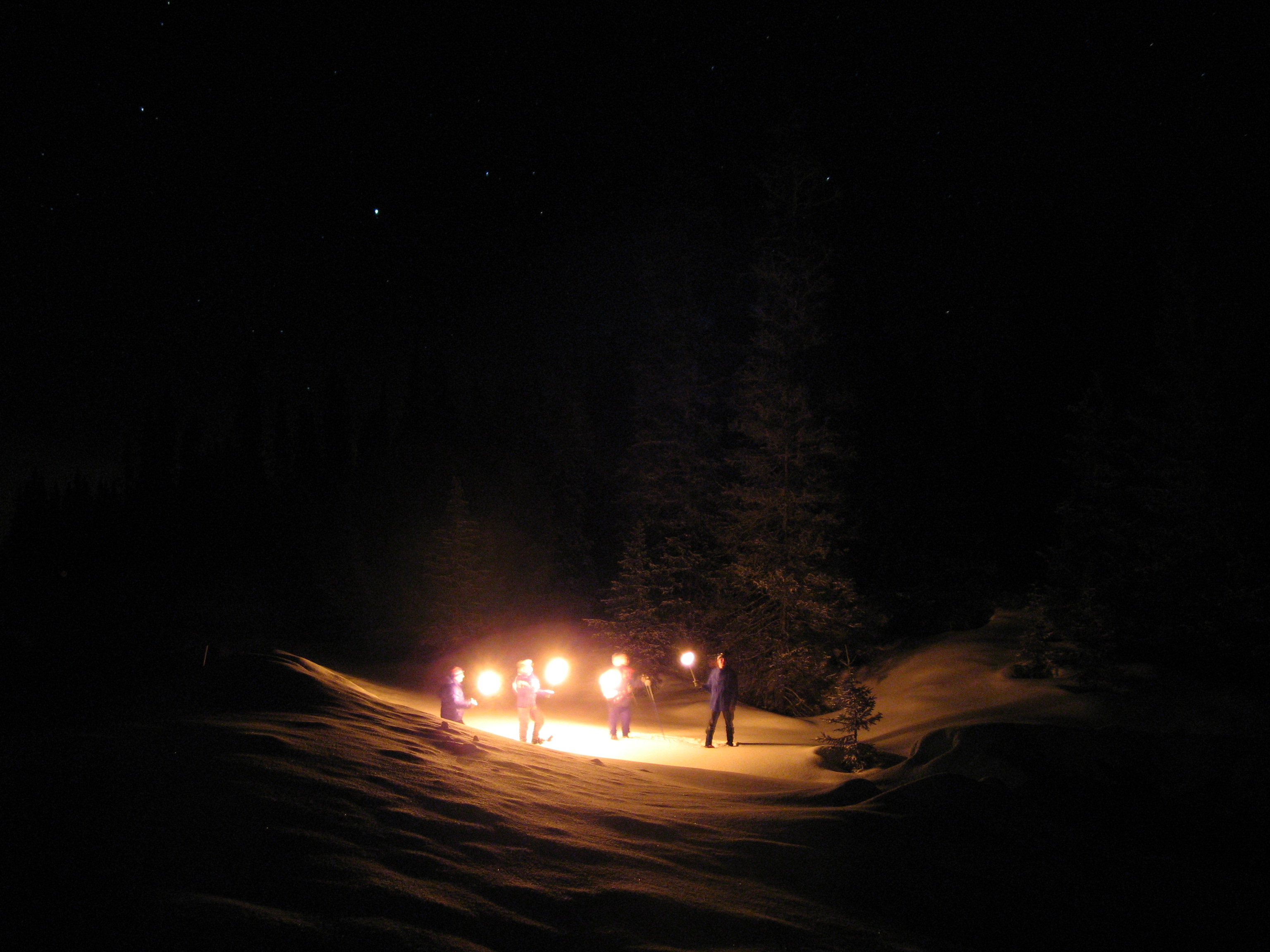
Nite Hike
Ellingsæter

View of the Fjell

Nite Hike

Die Otra in 2 Minuten
Norway 2016-277.jpg

Jotunheim Mountains
Fall at the mountain
Die Otra

Valdres. Nov 2015

Etna. Valdres. Oktober 2015.
IMG_3311.jpg
Img2011-10-15_0011P
Landmark gård
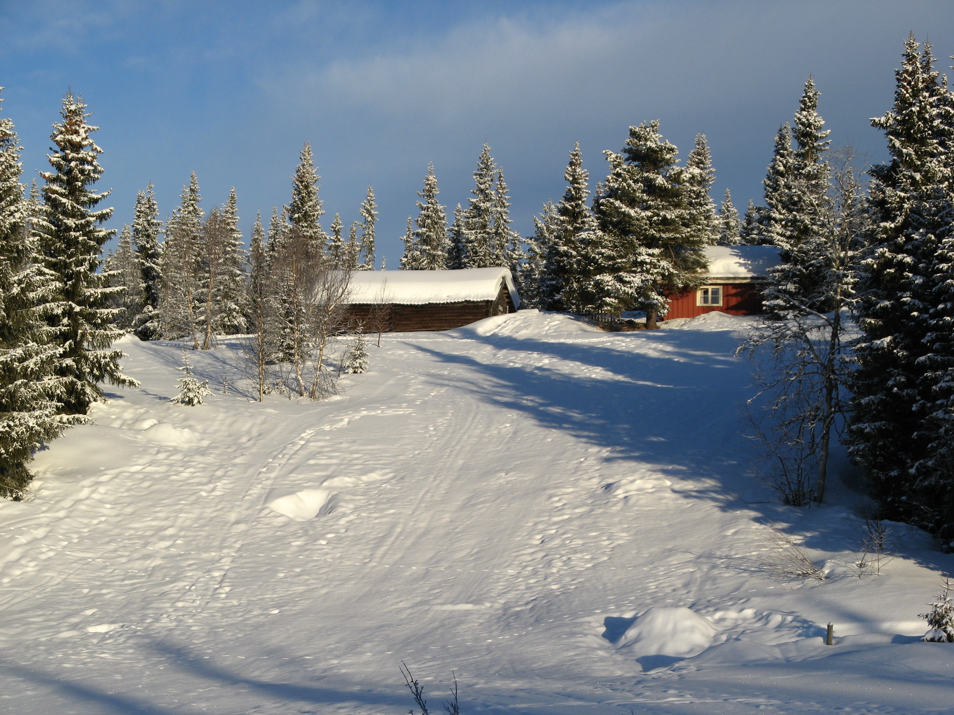
Winter Landscape
Ellingsæter

Norway 2016-276.jpg
Topographic Map of Bagn, Norway
Find elevation by address:

Places near Bagn, Norway:
Reinli
Hølera
Rv, Etnedal, Norway
Etnedal
Sør-aurdal
Rivoppvegen, Bagn, Norway
Dølsvestubben 9
Fagernes
Nesbyen
Gausdal
Røn
Nes
Ålfjell
Gol
Solstad Hotel And Motel As
Slidre
Hegge
Gol
Skammestein
Wadahl Høgfjellshotell As
Recent Searches:
- Elevation of Corso Fratelli Cairoli, 35, Macerata MC, Italy
- Elevation of Tallevast Rd, Sarasota, FL, USA
- Elevation of 4th St E, Sonoma, CA, USA
- Elevation of Black Hollow Rd, Pennsdale, PA, USA
- Elevation of Oakland Ave, Williamsport, PA, USA
- Elevation of Pedrógão Grande, Portugal
- Elevation of Klee Dr, Martinsburg, WV, USA
- Elevation of Via Roma, Pieranica CR, Italy
- Elevation of Tavkvetili Mountain, Georgia
- Elevation of Hartfords Bluff Cir, Mt Pleasant, SC, USA