Elevation of Rv, Etnedal, Norway
Location: Norway > Oppland > Etnedal >
Longitude: 9.6382273
Latitude: 60.9041836
Elevation: 334m / 1096feet
Barometric Pressure: 97KPa
Elevation Map:
Satellite Map:
Related Photos:
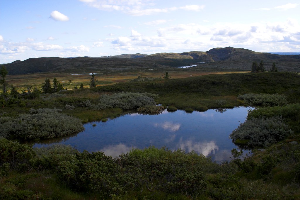
View towards Binnhovdknatten

Die Otra in 2 Minuten
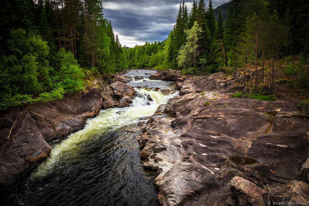
Die Otra
Landmark gård

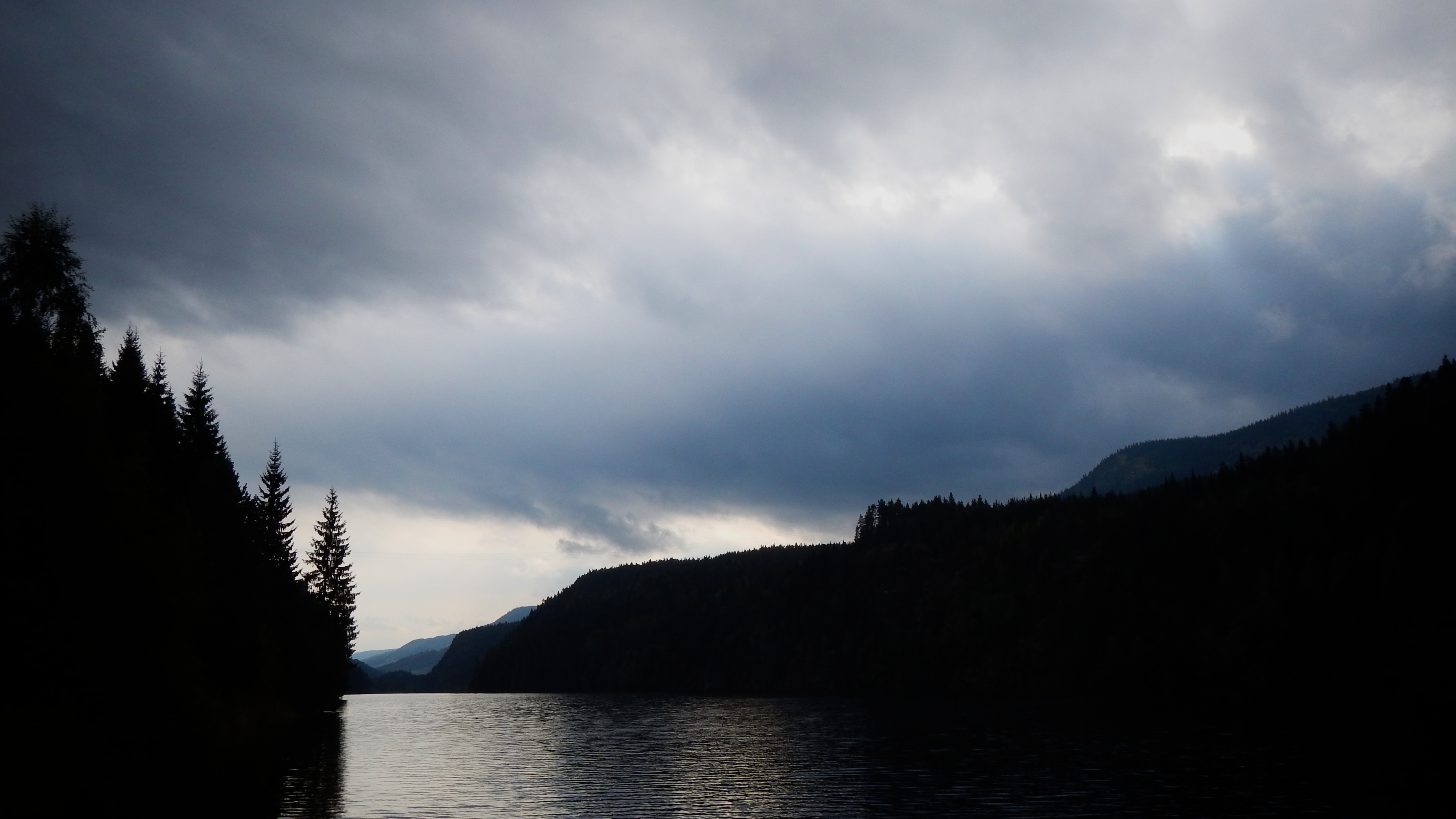
Under the Lunde Bridge
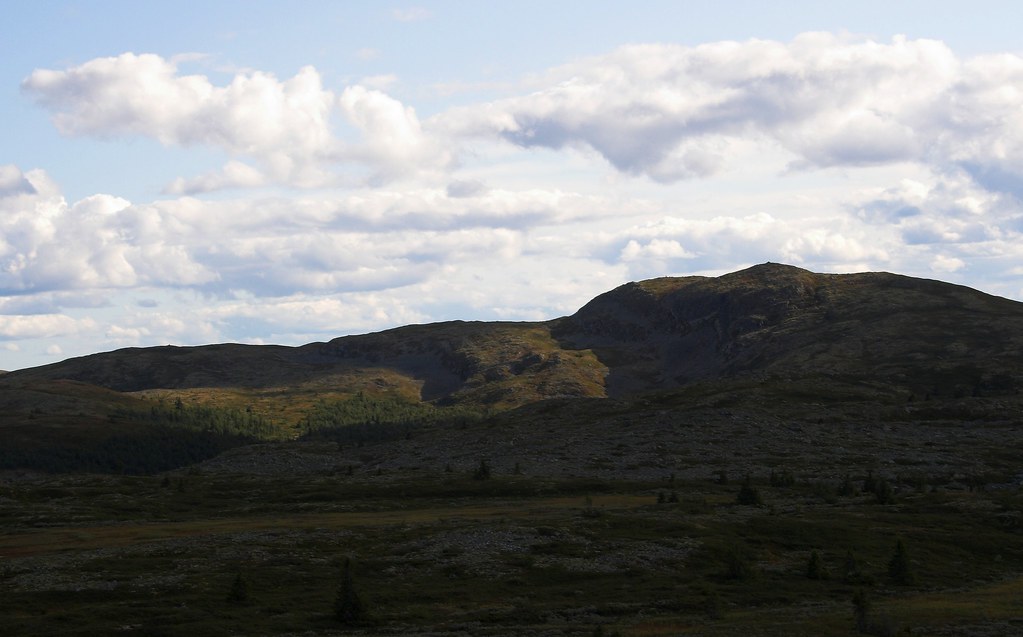
Binnhovdknatten in Eveninglight
Norway 2016-277.jpg

Jotunheim Mountains
IMG_3311.jpg

Foto-7216359.jpg

Norway 2016-276.jpg
Topographic Map of Rv, Etnedal, Norway
Find elevation by address:

Places near Rv, Etnedal, Norway:
Etnedal
Bagn
Hølera
Reinli
Dølsvestubben 9
Sør-aurdal
Rivoppvegen, Bagn, Norway
Gausdal
Fagernes
Røn
Wadahl Høgfjellshotell As
Årstulvegen 7
Gålå
Nesbyen
Oppland
Ålfjell
Hegge
Slidre
Nes
Nord-fron
Recent Searches:
- Elevation of Corso Fratelli Cairoli, 35, Macerata MC, Italy
- Elevation of Tallevast Rd, Sarasota, FL, USA
- Elevation of 4th St E, Sonoma, CA, USA
- Elevation of Black Hollow Rd, Pennsdale, PA, USA
- Elevation of Oakland Ave, Williamsport, PA, USA
- Elevation of Pedrógão Grande, Portugal
- Elevation of Klee Dr, Martinsburg, WV, USA
- Elevation of Via Roma, Pieranica CR, Italy
- Elevation of Tavkvetili Mountain, Georgia
- Elevation of Hartfords Bluff Cir, Mt Pleasant, SC, USA