Elevation of River Trail, Winton, NC, USA
Location: United States > North Carolina > Hertford County > Winton > Winton >
Longitude: -76.934349
Latitude: 36.4006589
Elevation: 10m / 33feet
Barometric Pressure: 101KPa
Elevation Map:
Satellite Map:
Related Photos:

Meherrin River

A quiet Meherrin River

Posted Red Reflector

McDonald's

Ahoskie Commons sign
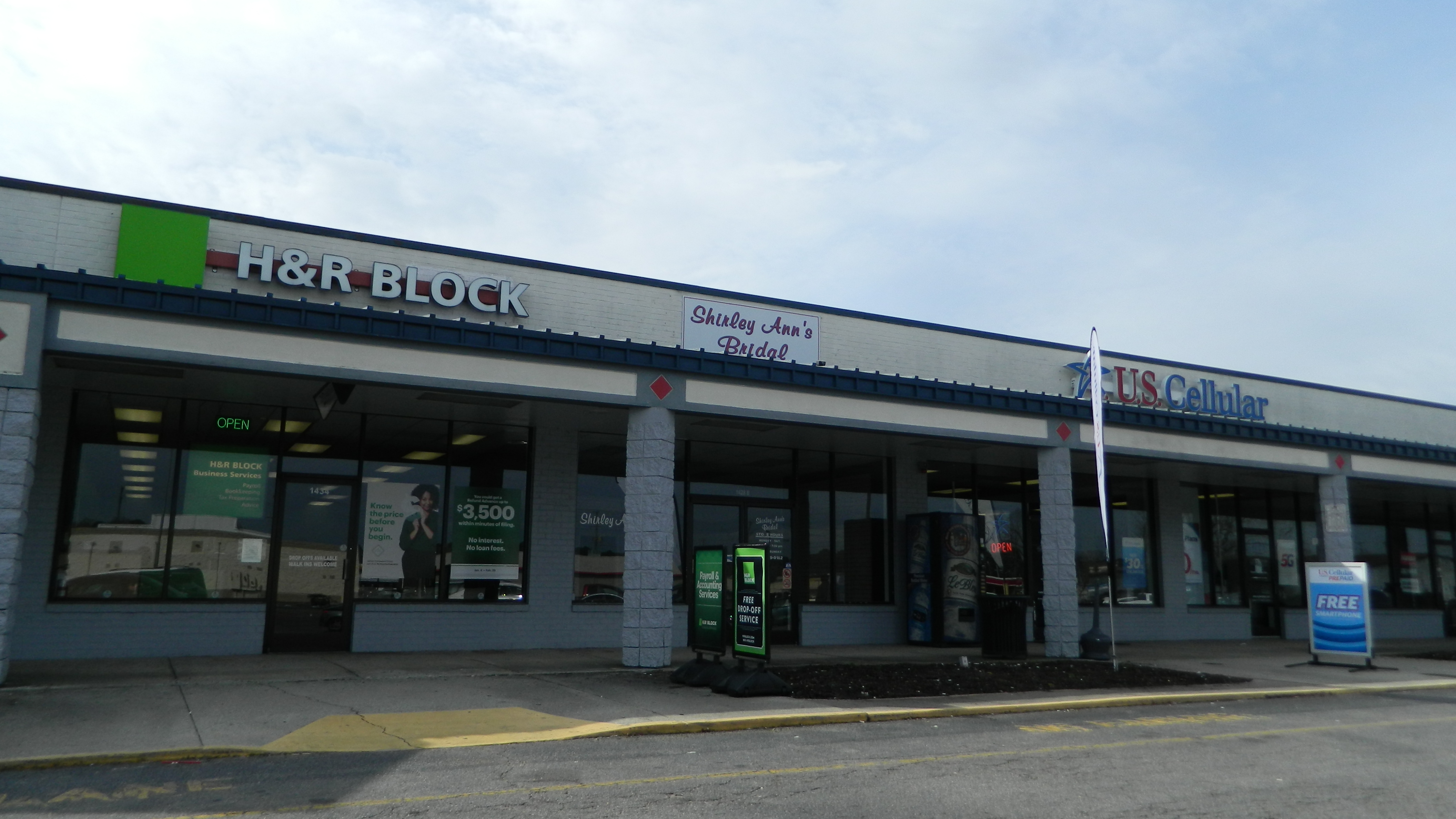
Ahoskie Commons stores

McDonald's interior

McDonald's interior

McDonald's interior

McDonald's interior

McDonald's interior

McDonald's interior

McDonald's interior

McDonald's interior
McDonald's interior

McDonald's interior
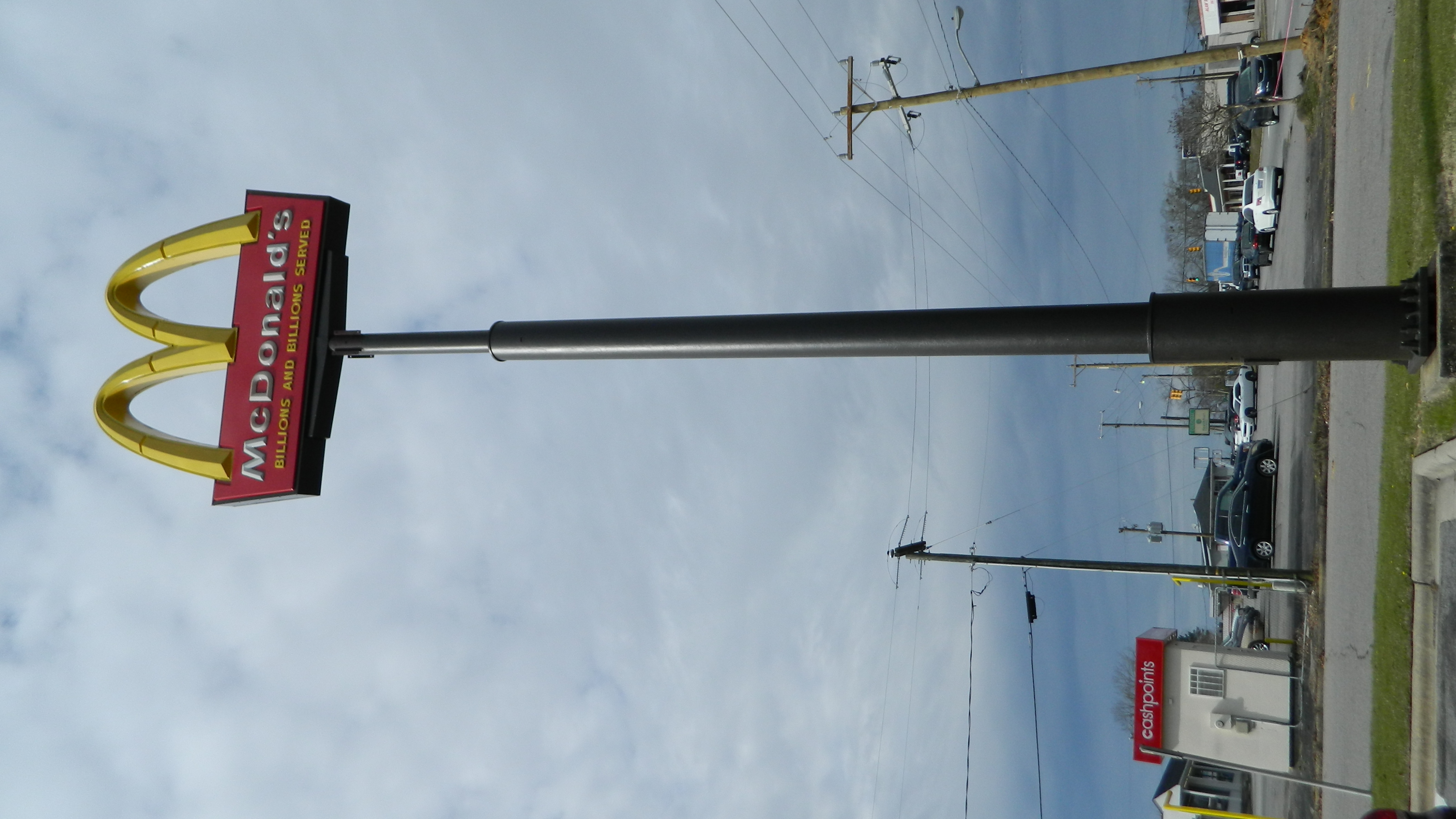
McDonald's sign

McDonald's

McDonald's

Golden Skillet sign

Golden Skillet

Walgreens sign

Food Lion

Food Lion
Topographic Map of River Trail, Winton, NC, USA
Find elevation by address:

Places near River Trail, Winton, NC, USA:
307 Tryon St
800 N King St
Winton
3 N Main St
329 Tuscarora Beach Rd
359 Barfield Rd
189 Tinkham Rd
Eure
Hall
152 Tuggie Eure Rd
Maneys Neck
Reynoldson
Boonetown Road
Hwy St, Madison, NC, USA
229 Byrum Rd
Smith Road
458 Rooks Rd
668 Rooks Rd
Camp Pond Rd, Suffolk, VA, USA
3600 Pittmantown Rd
Recent Searches:
- Elevation of Corso Fratelli Cairoli, 35, Macerata MC, Italy
- Elevation of Tallevast Rd, Sarasota, FL, USA
- Elevation of 4th St E, Sonoma, CA, USA
- Elevation of Black Hollow Rd, Pennsdale, PA, USA
- Elevation of Oakland Ave, Williamsport, PA, USA
- Elevation of Pedrógão Grande, Portugal
- Elevation of Klee Dr, Martinsburg, WV, USA
- Elevation of Via Roma, Pieranica CR, Italy
- Elevation of Tavkvetili Mountain, Georgia
- Elevation of Hartfords Bluff Cir, Mt Pleasant, SC, USA