Elevation of Eure, NC, USA
Location: United States > North Carolina > Gates County > Hall >
Longitude: -76.853290
Latitude: 36.4273762
Elevation: 6m / 20feet
Barometric Pressure: 101KPa
Elevation Map:
Satellite Map:
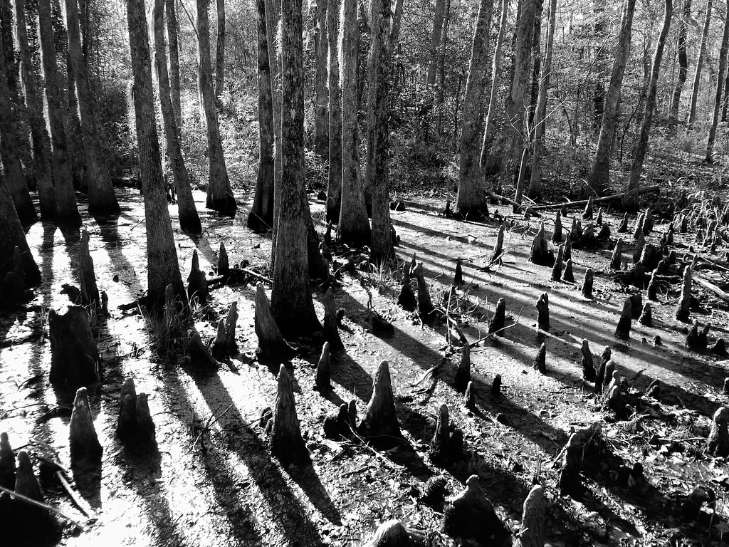
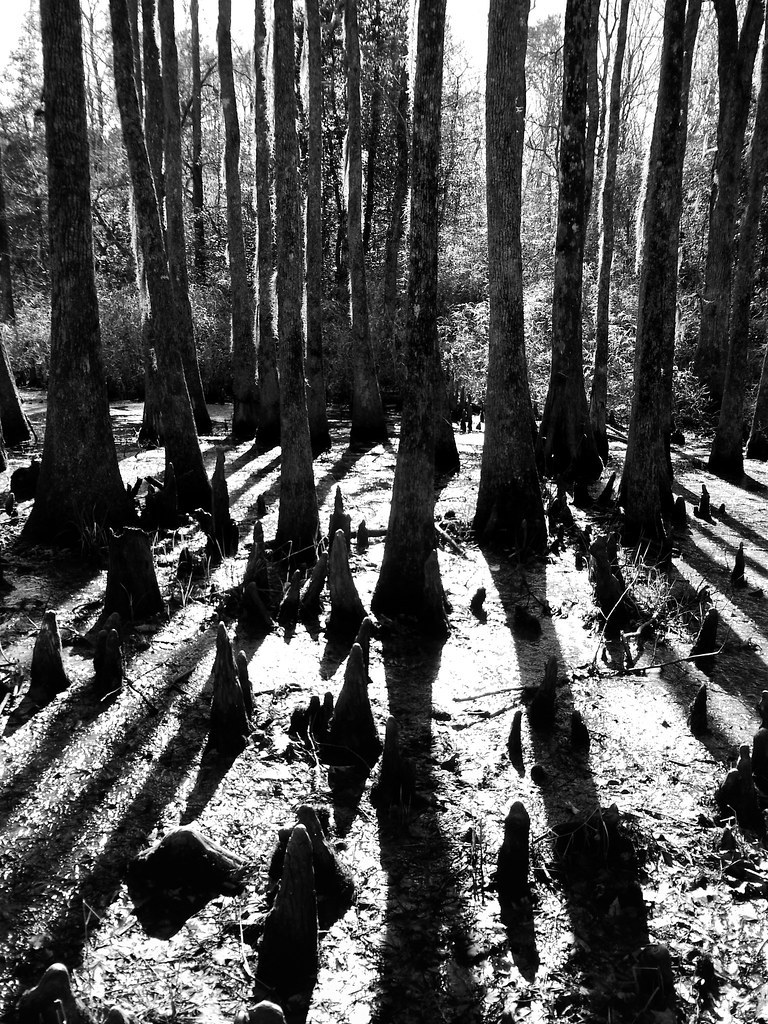
Related Photos:

Paddling out

almost perfect

Waking up and getting up has never been easy

A quiet Meherrin River
04-03-13 301
04-03-13 302

Friday campsite

06-05-13 331

06-05-13 332

Wildflowers after burn
Topographic Map of Eure, NC, USA
Find elevation by address:

Places near Eure, NC, USA:
Hall
359 Barfield Rd
152 Tuggie Eure Rd
Hwy St, Madison, NC, USA
189 Tinkham Rd
329 Tuscarora Beach Rd
Reynoldson
458 Rooks Rd
800 N King St
Winton
218 River Trail
307 Tryon St
3 N Main St
668 Rooks Rd
Smith Road
229 Byrum Rd
Boonetown Road
Hackley Rd, Gates, NC, USA
402 Main St
200 Court St
Recent Searches:
- Elevation of Corso Fratelli Cairoli, 35, Macerata MC, Italy
- Elevation of Tallevast Rd, Sarasota, FL, USA
- Elevation of 4th St E, Sonoma, CA, USA
- Elevation of Black Hollow Rd, Pennsdale, PA, USA
- Elevation of Oakland Ave, Williamsport, PA, USA
- Elevation of Pedrógão Grande, Portugal
- Elevation of Klee Dr, Martinsburg, WV, USA
- Elevation of Via Roma, Pieranica CR, Italy
- Elevation of Tavkvetili Mountain, Georgia
- Elevation of Hartfords Bluff Cir, Mt Pleasant, SC, USA