Elevation of Rooks Rd, Gates, NC, USA
Location: United States > North Carolina > Gates County > Reynoldson > Gates >
Longitude: -76.791987
Latitude: 36.483538
Elevation: 9m / 30feet
Barometric Pressure: 101KPa
Elevation Map:
Satellite Map:
Related Photos:
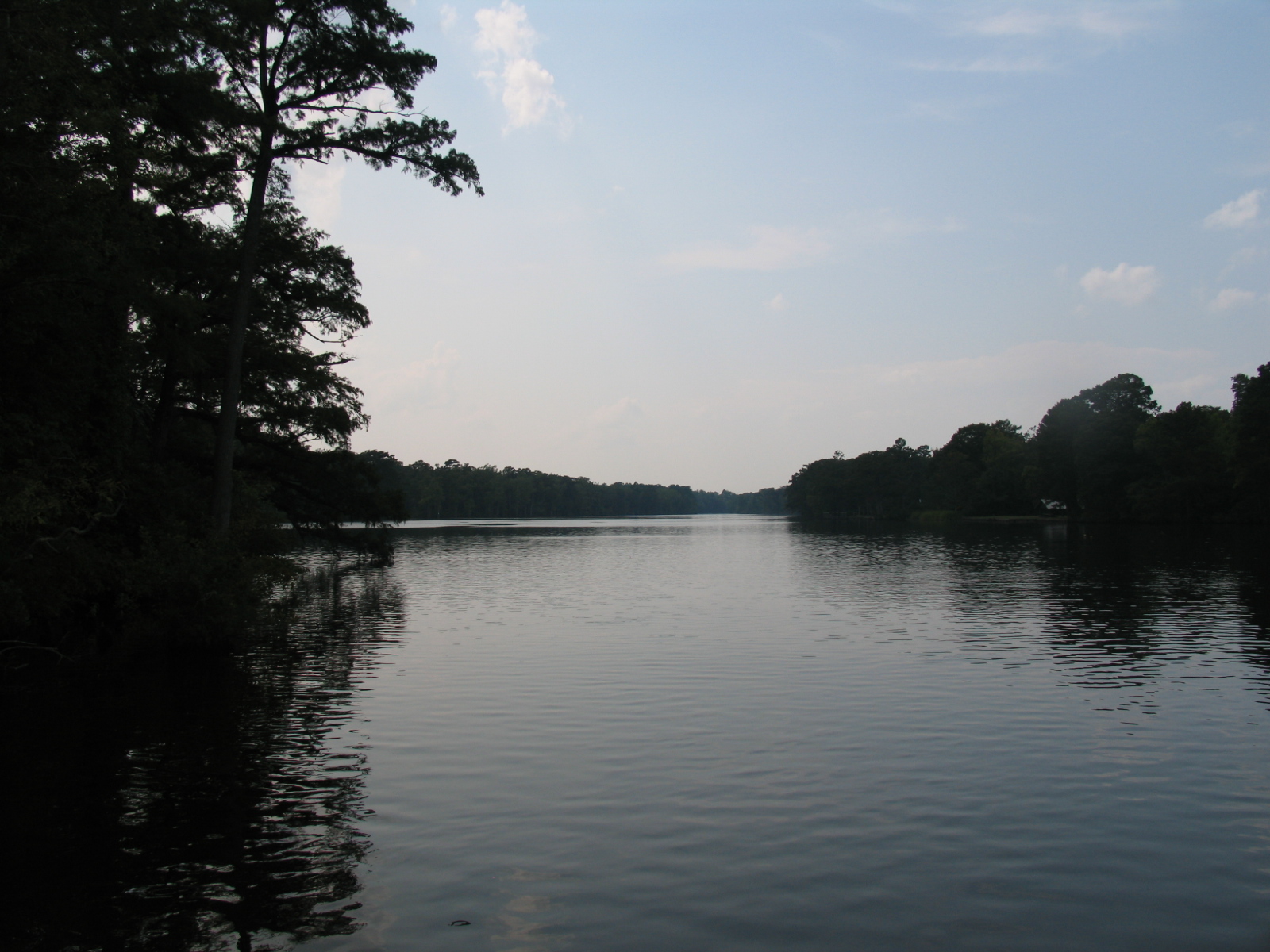
A quiet Meherrin River

almost perfect
06-05-13 332

Farm Land
06-05-13 331
04-03-13 301
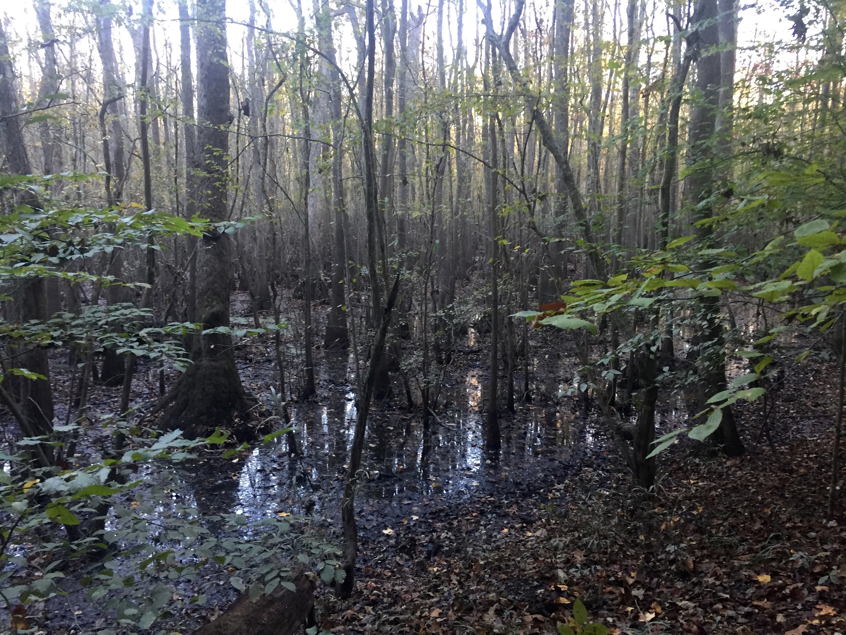
Friday campsite
Support your community

NORTH CAROLINA: GATES COUNTY: GATES: New Piney Wood Chapel Baptist Church, 1109 Drum Hill Road (NC 1308) God's Garden Cemetery
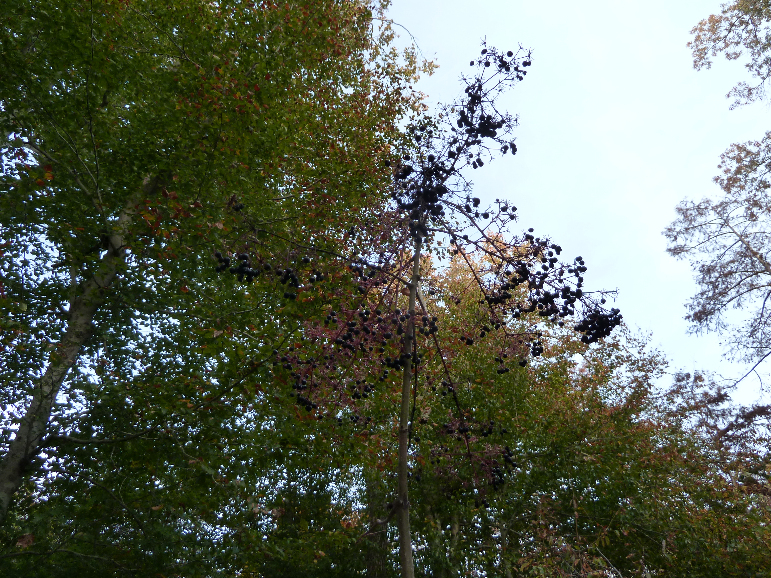
Fruit, Aralia spinosa
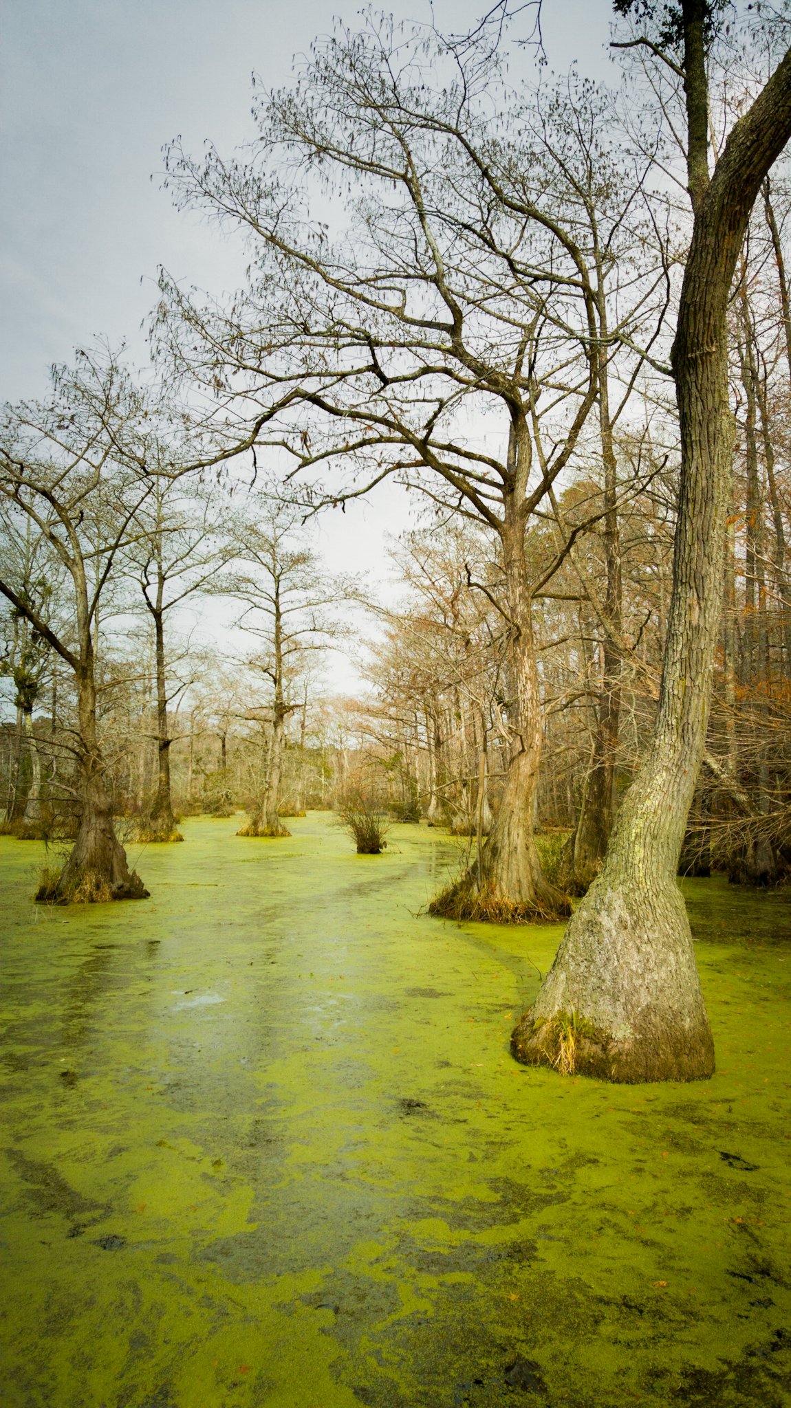
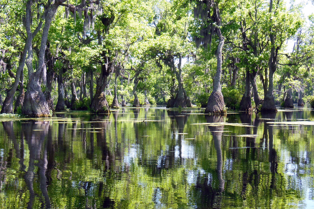
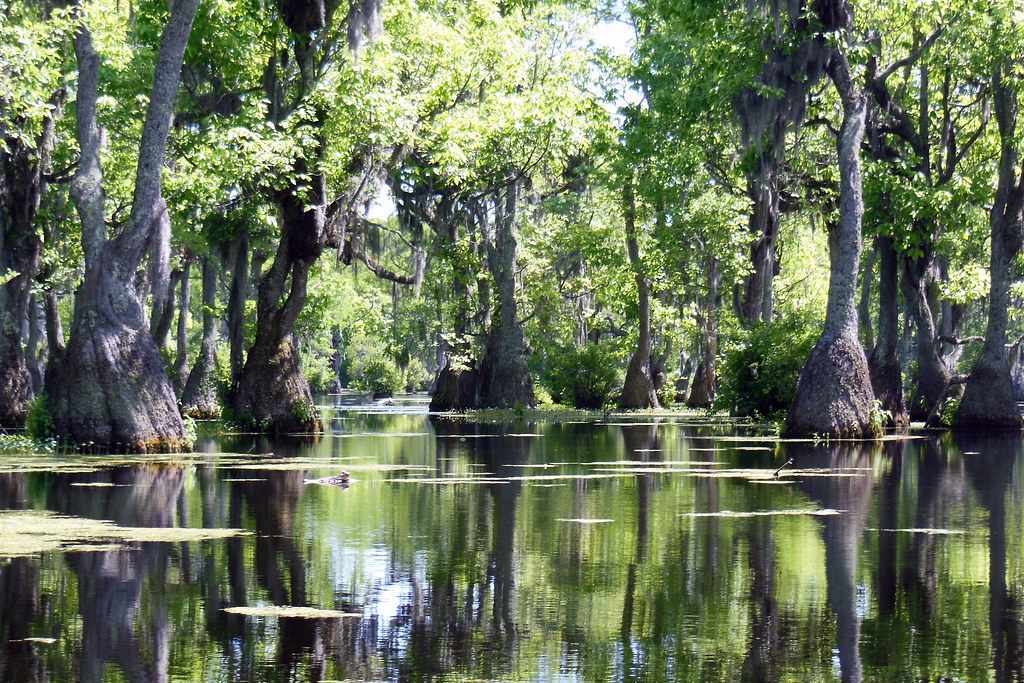
Merchant Mill Pond State Park
Topographic Map of Rooks Rd, Gates, NC, USA
Find elevation by address:

Places near Rooks Rd, Gates, NC, USA:
668 Rooks Rd
Gates
NC-37, Gates, NC, USA
Hackley Rd, Gates, NC, USA
152 Tuggie Eure Rd
1041 Nc-37
Smith Road
Reynoldson
Gatesville
Hwy St, Madison, NC, USA
229 Byrum Rd
Eure
402 Main St
400 Main St
3600 Pittmantown Rd
Hall
Drum Hill Rd, Gates, NC, USA
Drum Hill
200 Court St
Gatesville
Recent Searches:
- Elevation of Corso Fratelli Cairoli, 35, Macerata MC, Italy
- Elevation of Tallevast Rd, Sarasota, FL, USA
- Elevation of 4th St E, Sonoma, CA, USA
- Elevation of Black Hollow Rd, Pennsdale, PA, USA
- Elevation of Oakland Ave, Williamsport, PA, USA
- Elevation of Pedrógão Grande, Portugal
- Elevation of Klee Dr, Martinsburg, WV, USA
- Elevation of Via Roma, Pieranica CR, Italy
- Elevation of Tavkvetili Mountain, Georgia
- Elevation of Hartfords Bluff Cir, Mt Pleasant, SC, USA