Elevation of River Rd, Kemptville, ON K0G 1J0, Canada

Location: Canada > Ontario > Leeds And Grenville United Counties > North Grenville > Kemptville >

Longitude: -75.689591

Latitude: 45.0366458

Elevation: 85m / 279feet

Barometric Pressure: 100KPa

Elevation Map:

elevation map of River Rd, Kemptville, ON K0G 1J0, Canada

Satellite Map:

Satellite map of River Rd, Kemptville, ON K0G 1J0, Canada

Related Photos:

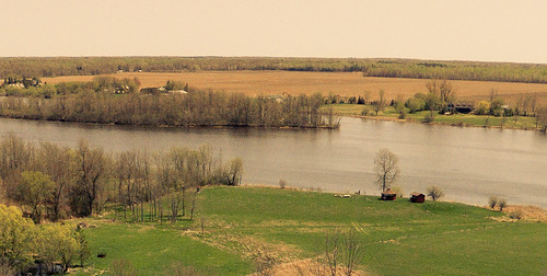
old school trees ontario canada tree water field grass sepia yard forest project river relax landscape countryside cabin riverside farm country lawn relaxing tint aerial gazebo sean unesco filter rivers land fields vehicle historical farms 365 uav rc current rideau kemptville unmanned drone faarm thibert
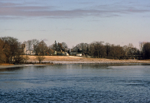
206/365: Rideau River Landscape
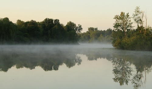
trees mist ontario canada reflection creek forest sunrise kemptville rideauriver thanksjohn cans2s kemptvillecreek northgrenville
Country living on the creek :)
noflash hipstamatic robotoglitterlens inas1969film
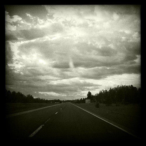
View through the windshield
lock17 burrittsrapids rideauriver
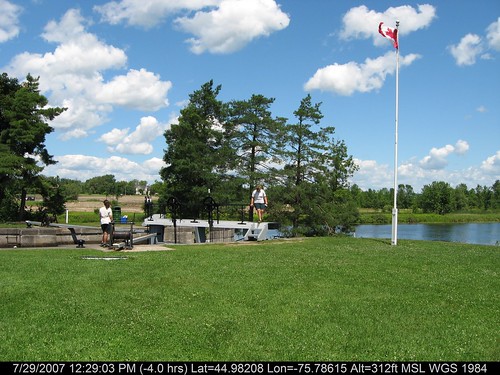
Lock 17 Rideau River 234/365
noflash hipstamatic claunch72monochromefilm libatique73lens
View through the windshield
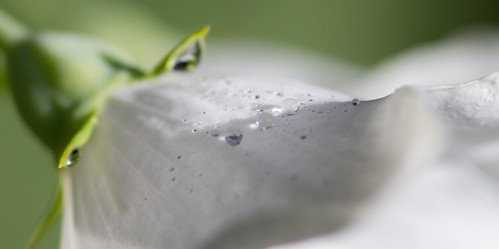
white flower green nature garden dewdrops interestingness petal explore dew littleglassbeads
Dew Drops
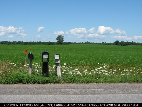
geotagged geo:lat=450455211200001 geo:lon=756965265399999
3 Mailboxes
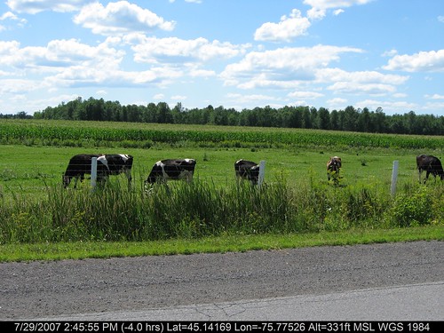
geotagged geo:lat=451416921333208 geo:lon=757752622777621
Happy Cows
sunset ontario canada river interestingness kemptville rideauriver supershot kemptvillecreek northgrenville
Sunset on the Kemptville Creek
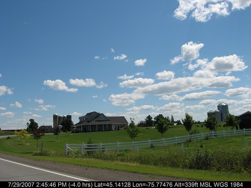
geotagged geo:lat=451412835444342 geo:lon=757747617777671
On the Road
ontario canada
Walking trail at Rideau River Provincial Park
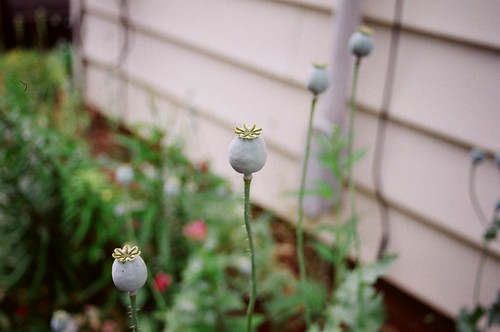
blue flower green yellow garden interestingness pod seeds poppy
Poppy Pods
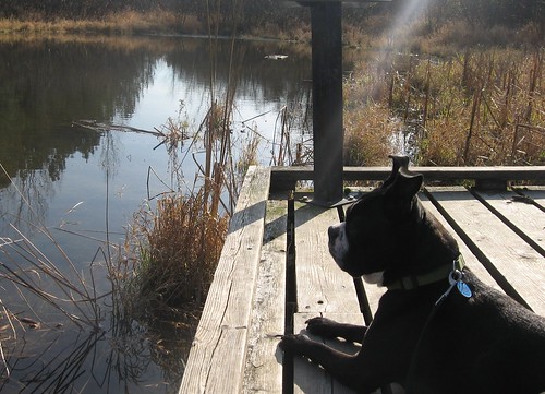
ontario canada dogs water animals spike baxterconservationarea
Spike admires the view
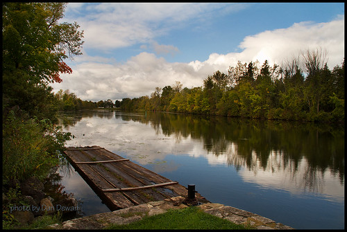
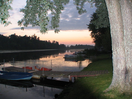
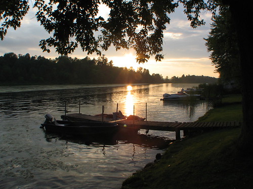
sunset ontario canada water river boat interestingness dock kemptville rideauriver kemptvillecreek northgrenville
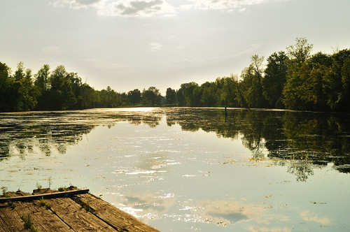
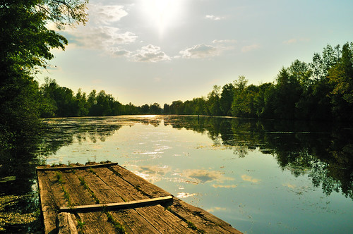
Another view of the Kemptville Creek at sunset
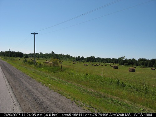
geotagged geo:lat=451581146000366 geo:lon=757919467000458
On the Road
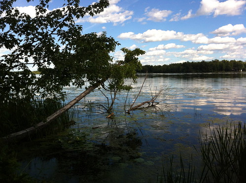
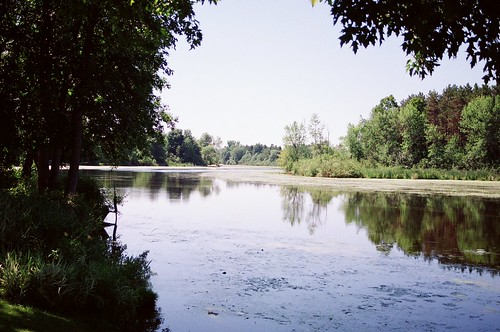
ontario canada interestingness kemptville rideauriver cans2s kemptvillecreek northgrenville
A view closer to the shoreline
fly frog woodfrog
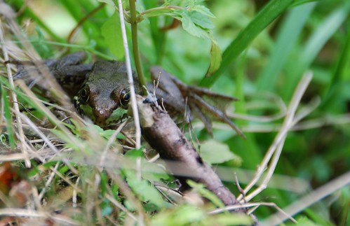
Watch out Fly
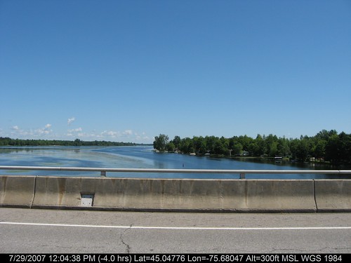
geotagged geo:lat=45047758485719 geo:lon=756804742714332
River.. Again..
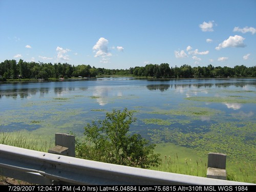
geotagged geo:lat=450488407400379 geo:lon=756814971600375
Rideau River
geotagged geo:lat=451578334750398 geo:lon=757916015750488
Hydrate...
geotagged geo:lat=449820768271796 geo:lon=757861546446152
Locks Opening
winter stilllife house snow ontario abandoned landscape ideas canoneos7d canonefs18135mmf3556is dandewan
This Old House
lake ontario canada water pond falls swamp smiths merrickville
Did I or Did I Not Jump In?
On the way to the cottage
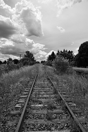
railroad light bw ontario canada clouds haze nikon natural rail nb rails 24mm nikkor strom chemin kemptville fer abandonned abandonné noirtetblanc d700
Going nowhere / Vers le grand nulle part
trees sunset summer sun tree field rural canon landscape 50mm star evening dusk farm branches country july rays rambling 2012 40d
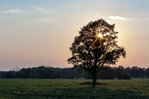
Sunset through the branches
farm country nikond7000
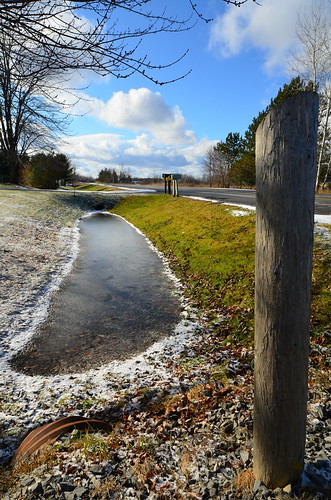
Snowmelt in the Ditch - Dilworth Road
north gower
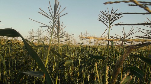
Corn Fields
river rideau
Late Summer
river rideau burrits
summer warmth
park creek curry kemptville d300
Curry Park
hairy ontario canada field furry nikon cattle farm horns bull highland nikkor bovinae bovine kemptville tonybailey afs70200mmf28g antoinebailey algbailey
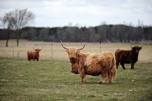
Wooly Bully
sunset ontario field ottawa country flickrandroidapp:filter=none
country life
trees ontario canada water clouds baxterconservationarea
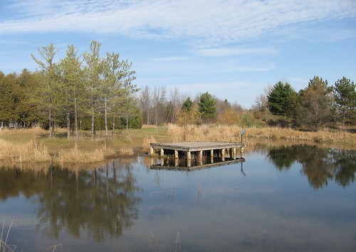
Still nice enough for a walk at Baxter Conservation Area
ontario interestingness kemptville northgrenville
I've looked at clouds from both sides now
canada rapids burritts
Burritts Rapids
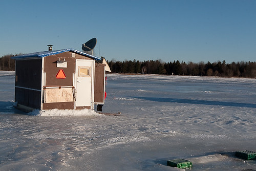
ontario icefishing rideauriver winter2009 kemptvilel
All set
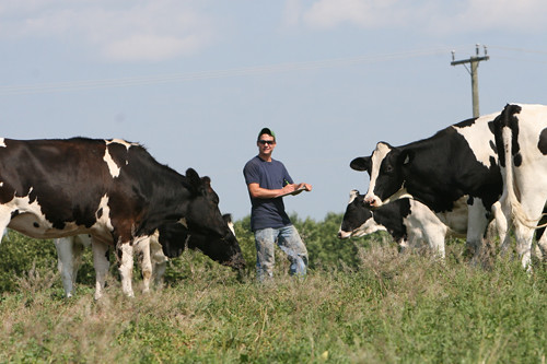
cow milk university guelph research dairy universityofguelph
Kemptville Dairy Campus