Elevation of North Gower, Ottawa, ON K0A 2T0, Canada
Location: Canada > Ontario > Ottawa Division > Ottawa >
Longitude: -75.716133
Latitude: 45.1314849
Elevation: 89m / 292feet
Barometric Pressure: 100KPa
Elevation Map:
Satellite Map:
Related Photos:
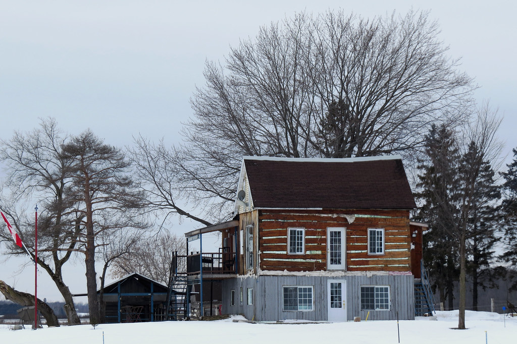
A renovated farmhouse in Kars/North Gower (Ottawa), Ontario

2018 Richmond Road Races (Ottawa) - hundreds of photos

Pathway to a Cure - November 9, 2019

Yellow Flower

2018 Richmond Road Races (Ottawa) - The End
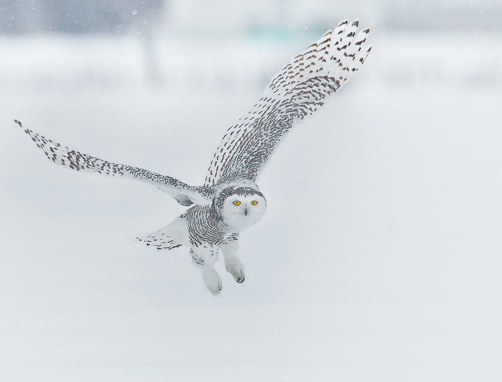
Snowy Owl (Bubo scandiacus)

Snowy Owl (Bubo scandiacus)

Blessed are they who see beautiful things in humble places where other people see nothing.

Long View.
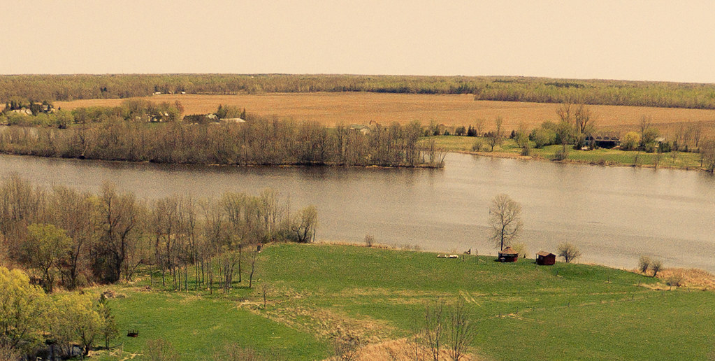
206/365: Rideau River Landscape

Long Islands Locks

David Bartlett Park, Manotick, Ontario

Protector of the Pumpkins

Suburban Manotick

Naked Tree. View black background.

Rideau River, Manotick, Ontario

Country living on the creek :)

David Bartlett Park, Manotick, Ontario

Aerial photograph. Construction of the Strandherd-Armstrong bridge. (Kite Aerial Photography - KAP)

Dew Drops
Cabrelle in Summer

Snowy Owl (Bubo scandiacus)

Manotick Lake

VIA past Dwyer Hill

Manotick Reflecions
VIA 645 in the winter

Dwyer Hill Creek
Sun streak.

Ottawa Sunrise

Warm sunset

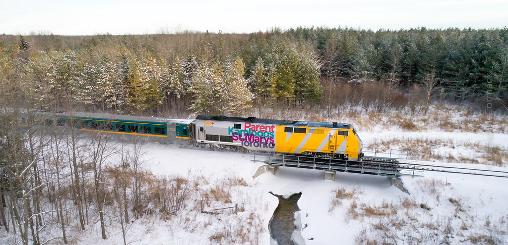
VIA 40

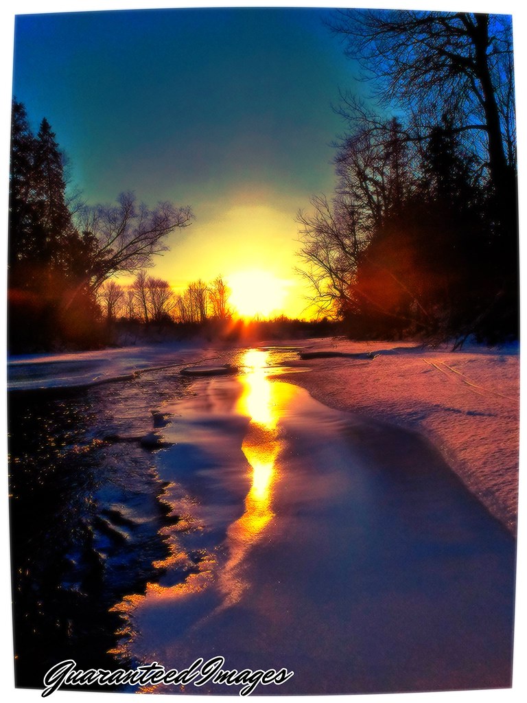
Spring thaw

Little house at Algonquin

207/365: Order 1 Stream
Topographic Map of North Gower, Ottawa, ON K0A 2T0, Canada
Find elevation by address:

Places in North Gower, Ottawa, ON K0A 2T0, Canada:
Places near North Gower, Ottawa, ON K0A 2T0, Canada:
6584 Fourth Line Rd
Church Street
Manotick - North Gower
Kars
7038 Gallagher Rd
Dilworth Road
7683 Fairhurst Dr
Dilworth Rd, Kars, ON K0A 2E0, Canada
Merlyn Wilson Rd, Kemptville, ON K0G 1J0, Canada
Unnamed Road
2422 Fairmile Rd
Goodstown Rd, Richmond, ON K0A 2Z0, Canada
Tradewinds Crescent
Tradewinds Crescent
1267 Hilly Ln
River Rd, Kemptville, ON K0G 1J0, Canada
Hilly Lane South
3644 Nixon Dr
Kars - Osgoode
2755 County Rd 43
Recent Searches:
- Elevation of Corso Fratelli Cairoli, 35, Macerata MC, Italy
- Elevation of Tallevast Rd, Sarasota, FL, USA
- Elevation of 4th St E, Sonoma, CA, USA
- Elevation of Black Hollow Rd, Pennsdale, PA, USA
- Elevation of Oakland Ave, Williamsport, PA, USA
- Elevation of Pedrógão Grande, Portugal
- Elevation of Klee Dr, Martinsburg, WV, USA
- Elevation of Via Roma, Pieranica CR, Italy
- Elevation of Tavkvetili Mountain, Georgia
- Elevation of Hartfords Bluff Cir, Mt Pleasant, SC, USA