Elevation of Fairmile Rd, Kemptville, ON K0G 1J0, Canada
Location: Canada > Ontario > Ottawa Division > Ottawa > Manotick - North Gower >
Longitude: -75.649434
Latitude: 45.0674916
Elevation: 87m / 285feet
Barometric Pressure: 100KPa
Elevation Map:
Satellite Map:
Related Photos:

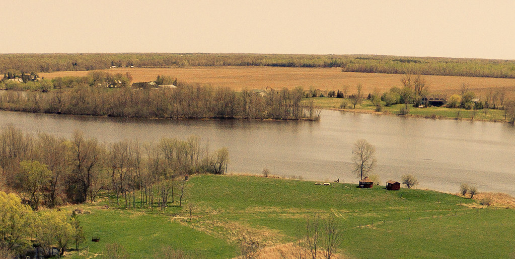
The Rideau River viewed from the bridge in Burritts Rapids, Ontario

The Rideau River viewed from the bridge in Burritts Rapids, Ontario
206/365: Rideau River Landscape
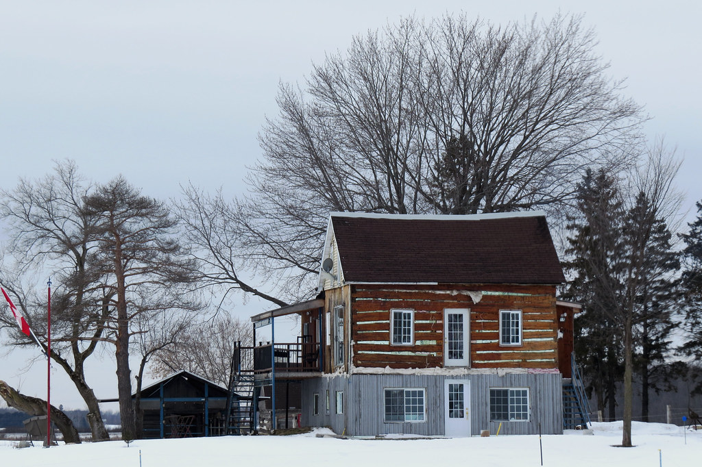
A renovated farmhouse in Kars/North Gower (Ottawa), Ontario

While Biking

Hydrate...

3 Mailboxes

On the Road

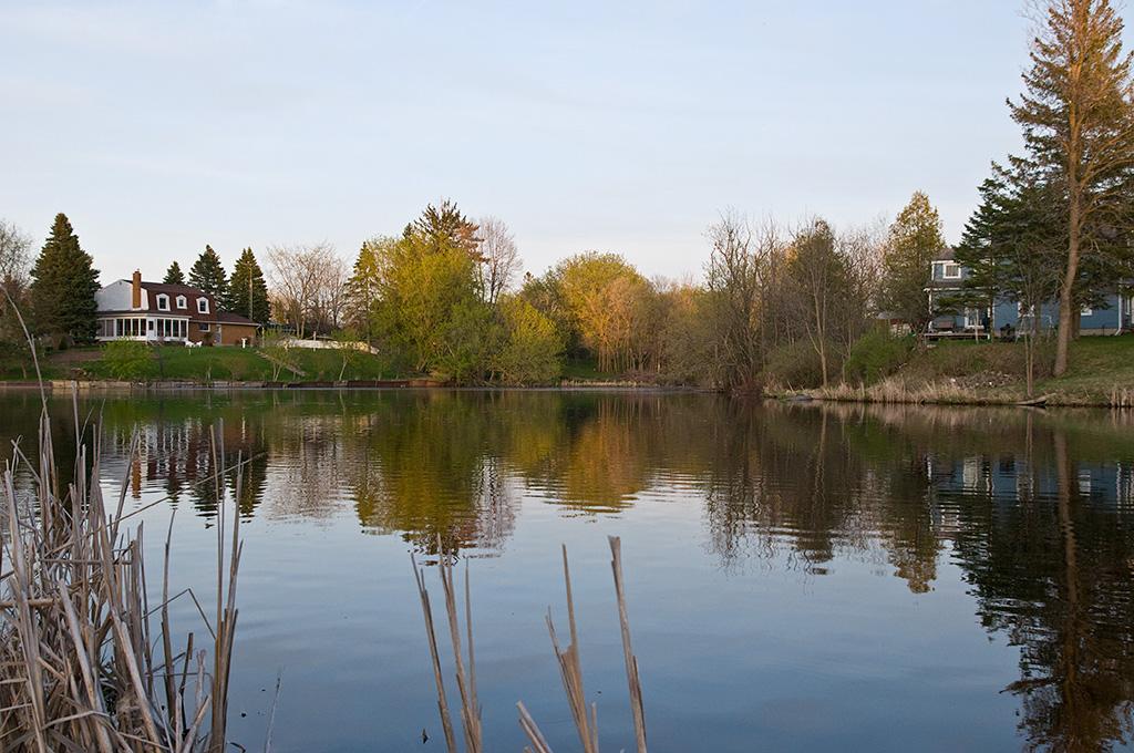
Rideau River

Burritt's Rapids

Country Roads

On the Road

Merrickville Lock

River Overpass

My Steed

Clearer Shot

RIver Crossing

Burritt's Locks

River.. Again..

Locks Opening

Closing Lock

This Old House

Lock 17 Rideau River 234/365

Walking trail at Rideau River Provincial Park

A view closer to the shoreline

Another view of the Kemptville Creek at sunset

The view from my mother-in-laws back yard

207/365: Order 1 Stream

Kemptville Creek

Going nowhere / Vers le grand nulle part

Dark clouds over the Rideau River, Burritt's Rapids, eastern Ontario

Travelling on South Prescott Spur

Wooly Bully

20170320-004: Ivory at the RRPP on the first day of spring

20160511-001: Reggie at the Rideau River Provincial Park

The Kemptville Creek

Kemptville Dairy Campus

Still nice enough for a walk at Baxter Conservation Area

Sunset through the branches

Snowmelt in the Ditch - Dilworth Road
Curry Park
Topographic Map of Fairmile Rd, Kemptville, ON K0G 1J0, Canada
Find elevation by address:

Places near Fairmile Rd, Kemptville, ON K0G 1J0, Canada:
1267 Hilly Ln
Hilly Lane South
Unnamed Road
7683 Fairhurst Dr
Dilworth Road
Dilworth Rd, Kars, ON K0A 2E0, Canada
Merlyn Wilson Rd, Kemptville, ON K0G 1J0, Canada
Riverview Lane
2755 County Rd 43
Tradewinds Crescent
Tradewinds Crescent
Rideau River Road
Curry Park
10 George St W
River Rd, Kemptville, ON K0G 1J0, Canada
Kemptville
3644 Nixon Dr
3089 Marlin Rd
Kars
Church Street
Recent Searches:
- Elevation of Corso Fratelli Cairoli, 35, Macerata MC, Italy
- Elevation of Tallevast Rd, Sarasota, FL, USA
- Elevation of 4th St E, Sonoma, CA, USA
- Elevation of Black Hollow Rd, Pennsdale, PA, USA
- Elevation of Oakland Ave, Williamsport, PA, USA
- Elevation of Pedrógão Grande, Portugal
- Elevation of Klee Dr, Martinsburg, WV, USA
- Elevation of Via Roma, Pieranica CR, Italy
- Elevation of Tavkvetili Mountain, Georgia
- Elevation of Hartfords Bluff Cir, Mt Pleasant, SC, USA