Elevation of County Rd 43, Kemptville, ON K0G 1J0, Canada

Location: Canada > Ontario > Leeds And Grenville United Counties > North Grenville > Kemptville >

Longitude: -75.651535

Latitude: 45.0245444

Elevation: 92m / 302feet

Barometric Pressure: 100KPa

Elevation Map:

elevation map of County Rd 43, Kemptville, ON K0G 1J0, Canada

Satellite Map:

Satellite map of County Rd 43, Kemptville, ON K0G 1J0, Canada

Related Photos:

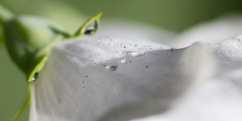
white flower green nature garden dewdrops interestingness petal explore dew littleglassbeads
Dew Drops
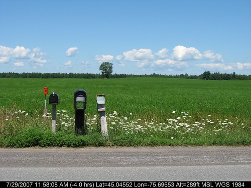
geotagged geo:lat=450455211200001 geo:lon=756965265399999
3 Mailboxes
lock17 burrittsrapids rideauriver
Lock 17 Rideau River 234/365
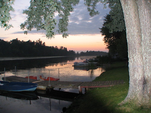
sunset ontario canada river interestingness kemptville rideauriver supershot kemptvillecreek northgrenville
Sunset on the Kemptville Creek
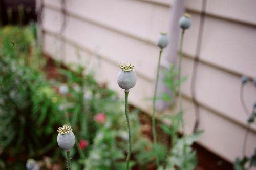
blue flower green yellow garden interestingness pod seeds poppy
Poppy Pods
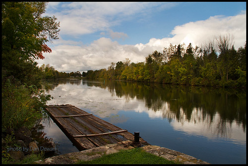
ontario canada interestingness kemptville rideauriver cans2s kemptvillecreek northgrenville
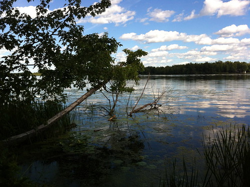
A view closer to the shoreline
geotagged geo:lat=45047758485719 geo:lon=756804742714332
River.. Again..
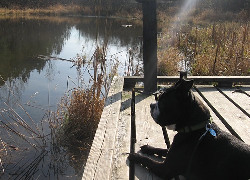
ontario canada dogs water animals spike baxterconservationarea
Spike admires the view
ontario canada
Walking trail at Rideau River Provincial Park
geotagged geo:lat=450488407400379 geo:lon=756814971600375
Rideau River
geotagged geo:lat=449820768271796 geo:lon=757861546446152
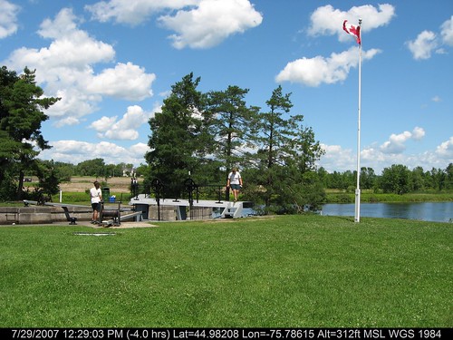
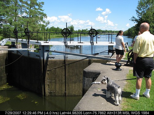
Locks Opening
geotagged geo:lat=450455339019998 geo:lon=756965184440001
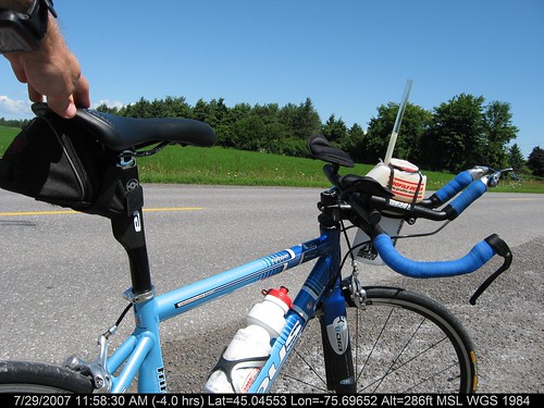
My Steed
geotagged geo:lat=450485863500081 geo:lon=756812516750076
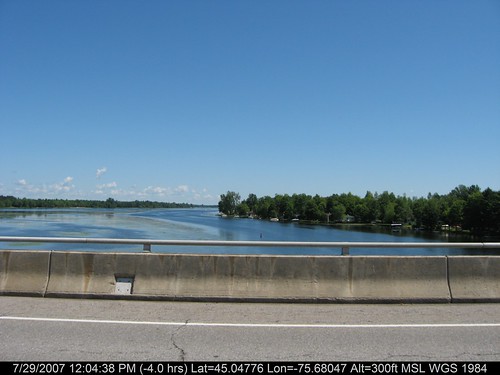
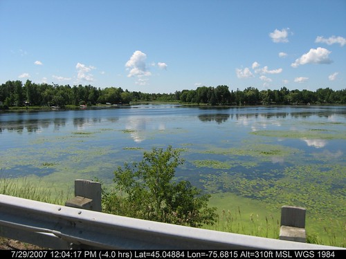
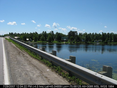
River Overpass
fly frog woodfrog
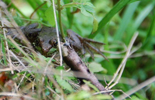
Watch out Fly
blue trees ontario green water creek forest interestingness kemptville northgrenville
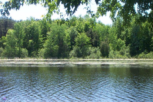
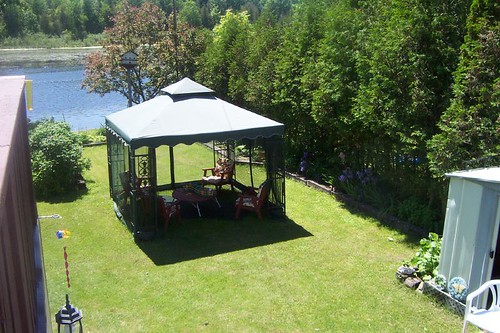
The view from my mother-in-laws back yard
geotagged geo:lat=450480690500162 geo:lon=756807702000151
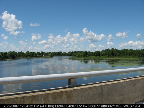
RIver Crossing
geotagged geo:lat=45045525187 geo:lon=75696523964
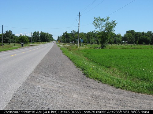
Country Roads
geotagged geo:lat=449820982241028 geo:lon=757861132169225
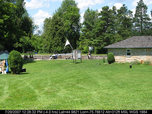
Burritt's Rapids
trees ontario grass interestingness sunroom kemptville screenroom northgrenville
View from the deck
geotagged geo:lat=44982095252308 geo:lon=757861189707686
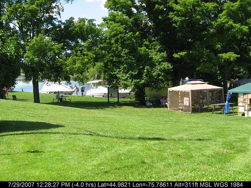
Burritt's Locks
geotagged geo:lat=449820512697437 geo:lon=757862041276922
Closing Lock
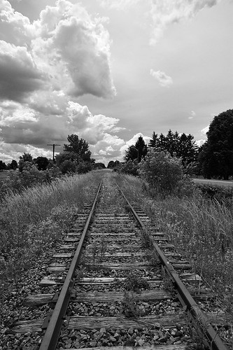
railroad light bw ontario canada clouds haze nikon natural rail nb rails 24mm nikkor strom chemin kemptville fer abandonned abandonné noirtetblanc d700
Going nowhere / Vers le grand nulle part
Travelling on South Prescott Spur
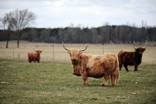
hairy ontario canada field furry nikon cattle farm horns bull highland nikkor bovinae bovine kemptville tonybailey afs70200mmf28g antoinebailey algbailey
Wooly Bully
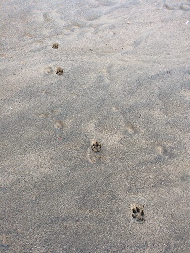
dog footprints
20180926-004: Pawprints in the sand
On the way to the cottage
sarahoneillphotography
Ivory-39
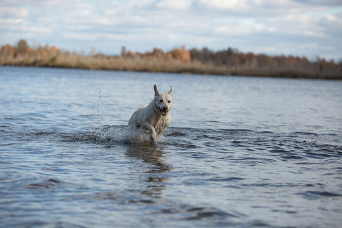
20170320-004: Ivory at the RRPP on the first day of spring
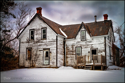
canoneos7d canonefs18135mmf3556is dandewan ontario abandoned house ideas landscape snow stilllife winter
This Old House
20180227-001: Return to the beach
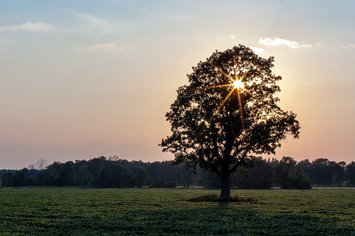
trees sunset summer sun tree field rural canon landscape 50mm star evening dusk farm branches country july rays rambling 2012 40d
Sunset through the branches
sarahoneillphotography
Ivory-21
sarahoneillphotography
Ivory-48
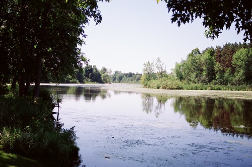
ontario water creek interestingness kemptville northgrenville
The Kemptville Creek
sarahoneillphotography
Ivory-05
20170930-004: Rideau River Provincial Park