Elevation of Ridge Rd, North Bend, OR, USA
Location: United States > Oregon > Coos County > North Bend >

Longitude: -124.18863

Latitude: 43.478853

Elevation: 86m / 282feet

Barometric Pressure: 100KPa

Elevation Map:

elevation map of Ridge Rd, North Bend, OR, USA

Satellite Map:

Satellite map of Ridge Rd, North Bend, OR, USA
Related Photos:

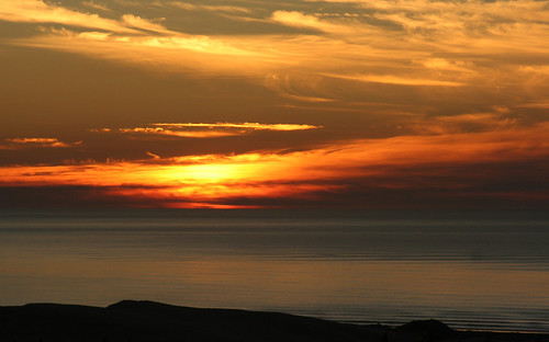
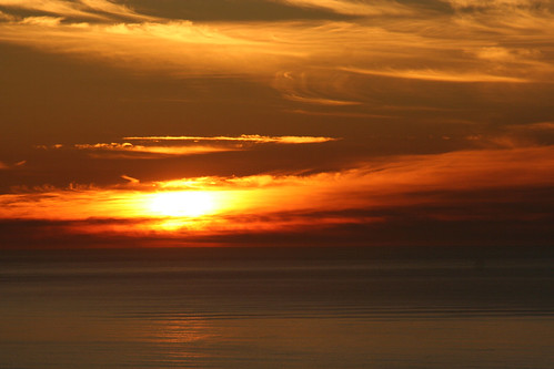
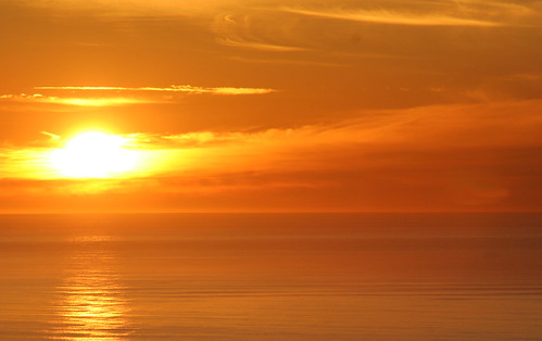
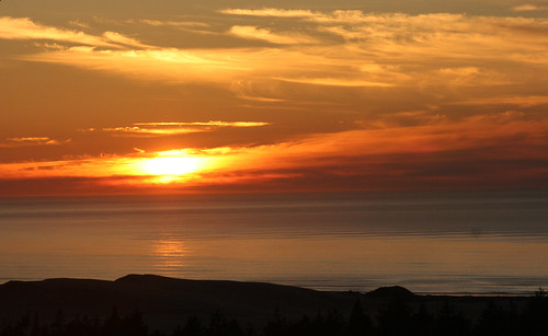
Sunset in Oregon 7
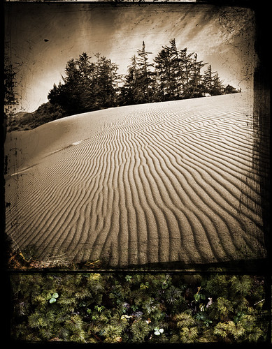
moss sand dunes danielcolvin digitalalchem
Wet And Dry
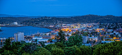
nightphotography oregon evening sony nightshots telegraphhill coosbay coosbayoregon cooscounty sonyalpha
Early evening--DSC01859--Coos Bay, Oregon
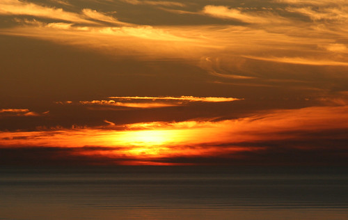
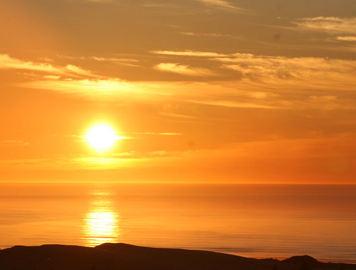
Sunset in Oregon 2
Sunset in Oregon 7
Sunset in Oregon 4
Sunset in Oregon 4
Sunset in Oregon 1
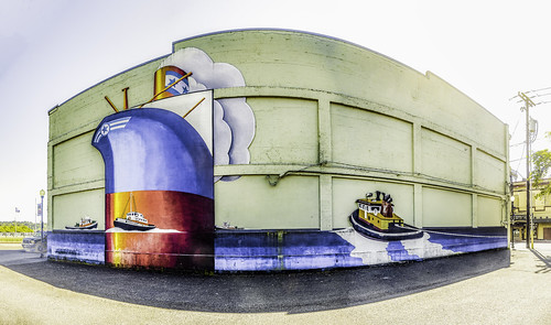
Coos Mural
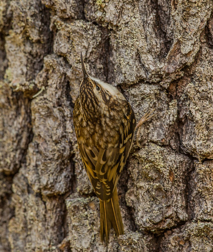
browncreeper creeper americantreecreeper treecreeper certhiaamericana certhia certhiidae nigelje tugmanstatepark oregon
Brown Creeper (Certhia americana)
Sunset in Oregon 5
Sunset in Oregon 6
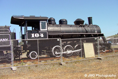
oregon mikado steamlocomotive 282 baldwinlocomotiveworks coosbaylumbercompany locomotive104
Coos Bay Lumber Company No. 104
oregon sony telegraphhill coosbay coosbayoregon cooscounty sonyalpha
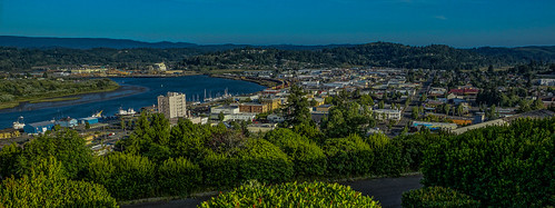
View from Telegraph Hill--DSC01847--Coos Bay, OR
county oregon neon highway101 tioga coosbay
Old Tioga Hotel, Coos Bay, Oregon - DSC03117
Sunset in Oregon 3
bridge blue oregon concrete bay arch bend north mccullough coos
A Touch Of Blue
oregon sony airshow northbend a55 wingsoffreedom cooscounty northbendmunicipalairport sonyalpha sal16105 collingsinstitute
Bombardier's Room with a View -- DSC8090
View from Heavy Horse Rd
county oregon neon highway101 tioga coosbay
Old Tioga Hotel, Coos Bay, Oregon - DSC03118
View from the Ron's house
sanddunes oregondunes
Oregon Dunes-Umpqua Dunes area.
coosbay or usa
Sand Dunes Coos Bay Oregon
beach cloudy dunes landscapes nature oregon oregondunes sand shore
Oregon Dunes National Recreation Area, Oregon
dogchal
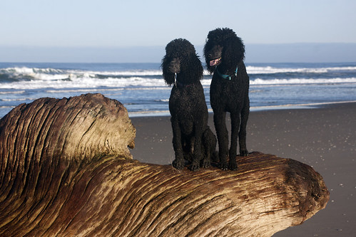
Monday Morning on the Beach
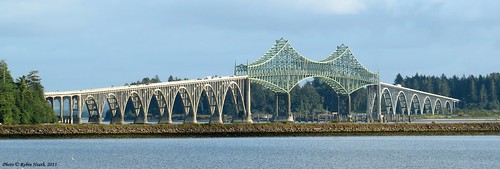
bridge water oregon canon river landscape photography bay photo highway picture powershot 101 hwy101 highway101 canonpowershot waterscape mccullough coosbay coos coosbayoregon canoncamera coosbayor coosbaybridge mcculloughbridge sx50 robinheath highway101bridge canonpowershotsx50 canonsx50 powershotsx50 hwy101bridge phototakeninoregon
McCullough Bridge
Oregon Coast Adventure
sanddunes oregondunes
Oregon Dunes
landscape coosbay minguspark
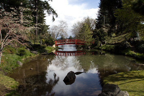
Mingus Park
Oregon Dunes
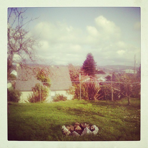
square squareformat amaro iphoneography instagramapp uploaded:by=instagram foursquare:venue=4e31acf818a837634f35f0b5
Maybe putting a fire in that fire pit would make everything all better ...
ocean flower art grass oregon florence sand nikon desert pacific or dune august hike lakeside trail oasis journey vegetation oregoncoast sanddunes oregondunes 2010 umpqua coosbay northbend reedsport oregondunesnationalrecreationarea nationalrecreationarea usfs tenmile winchesterbay umpquariver siuslawriver siuslaw unitedstatesforestservice d40x worldofarun eelcreek coosriver arunyenumula
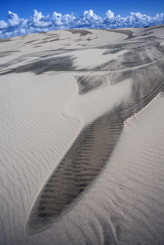
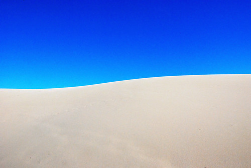
The curve of the sand dune
william tugman state park eel lake creek bandon coos bay north bend oregon hiking coast
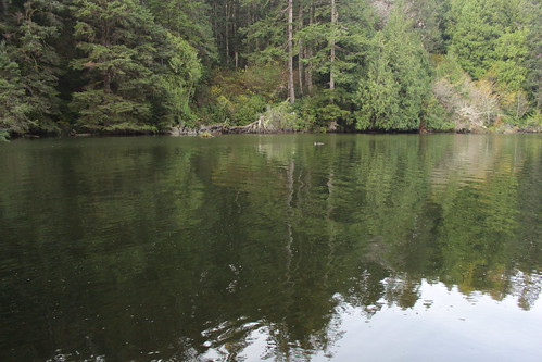
Tranquil cove of Eel Lake
john dellenback dunes oregon national recreation area coast trail hiking tenmile creek lakeside reedsport
I sense more uphill sand-walking in my future
john dellenback dunes oregon national recreation area coast trail hiking tenmile creek lakeside reedsport
The world's biggest pile of sand
oregon oregoncoast corp sanddunes southernpacific coosbay centraloregonpacific
CORP on the Coast
NN5U1741.JPG
john dellenback dunes oregon national recreation area coast trail hiking tenmile creek lakeside reedsport
Blustery weather was coming in