Elevation map of Coos County, OR, USA
Location: United States > Oregon >
Longitude: -124.10573
Latitude: 43.242897
Elevation: 158m / 518feet
Barometric Pressure: 99KPa
Elevation Map:
Satellite Map:
Related Photos:

Locomotive Breath

Deer Fence Pond from Food Forest

South View of Deer Fence Pond

Greenhouse outside view

Cathedral Plaster
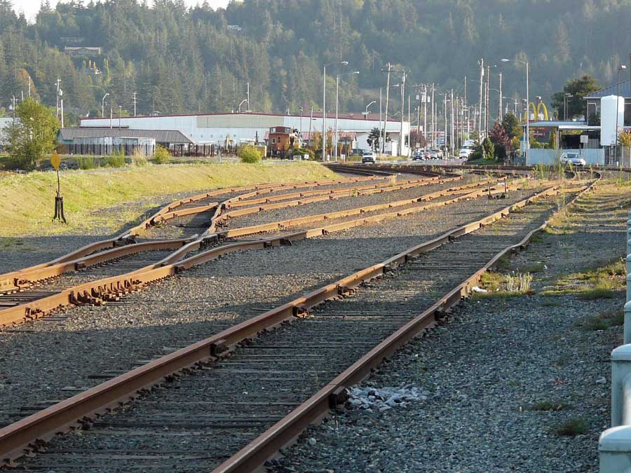
CORP Central Oregon & Pacific Coos Bay, Oregon series, # 2

Coos Bay 3

Cob Oven Flame
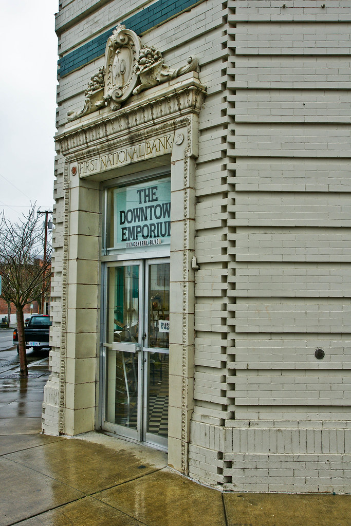
First National Bank of Coquille -- DSC03107

Underside View of Turbine

Underside View of Turbine Detail

Coos Bay 2
359_USA_Oregon_Sept_2012 copy
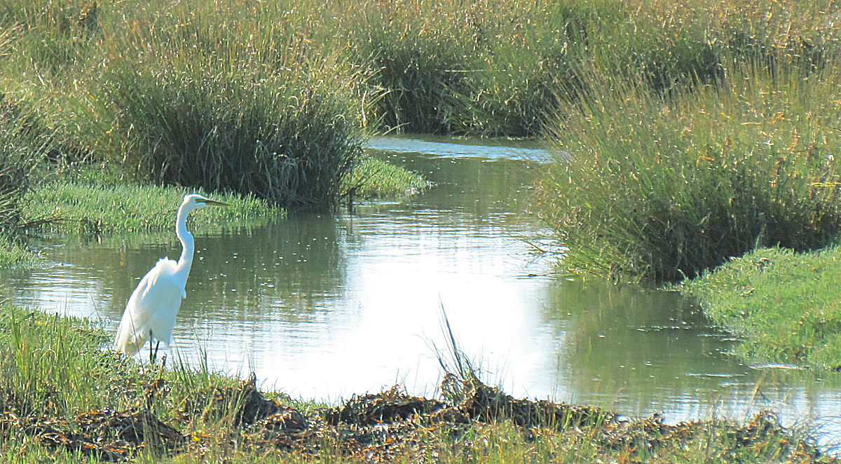
Everbeautiful Egret

35 Acres-19
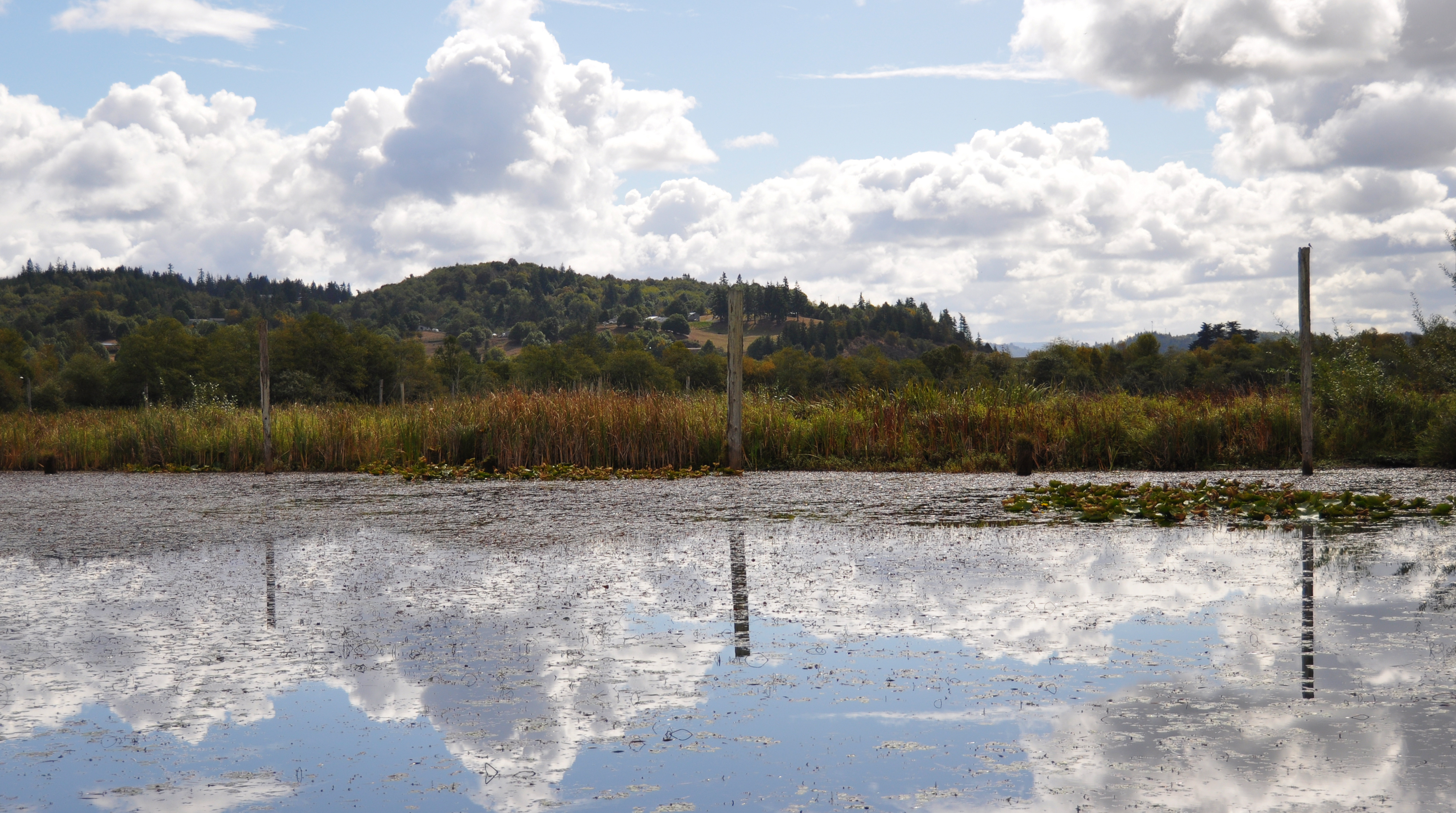
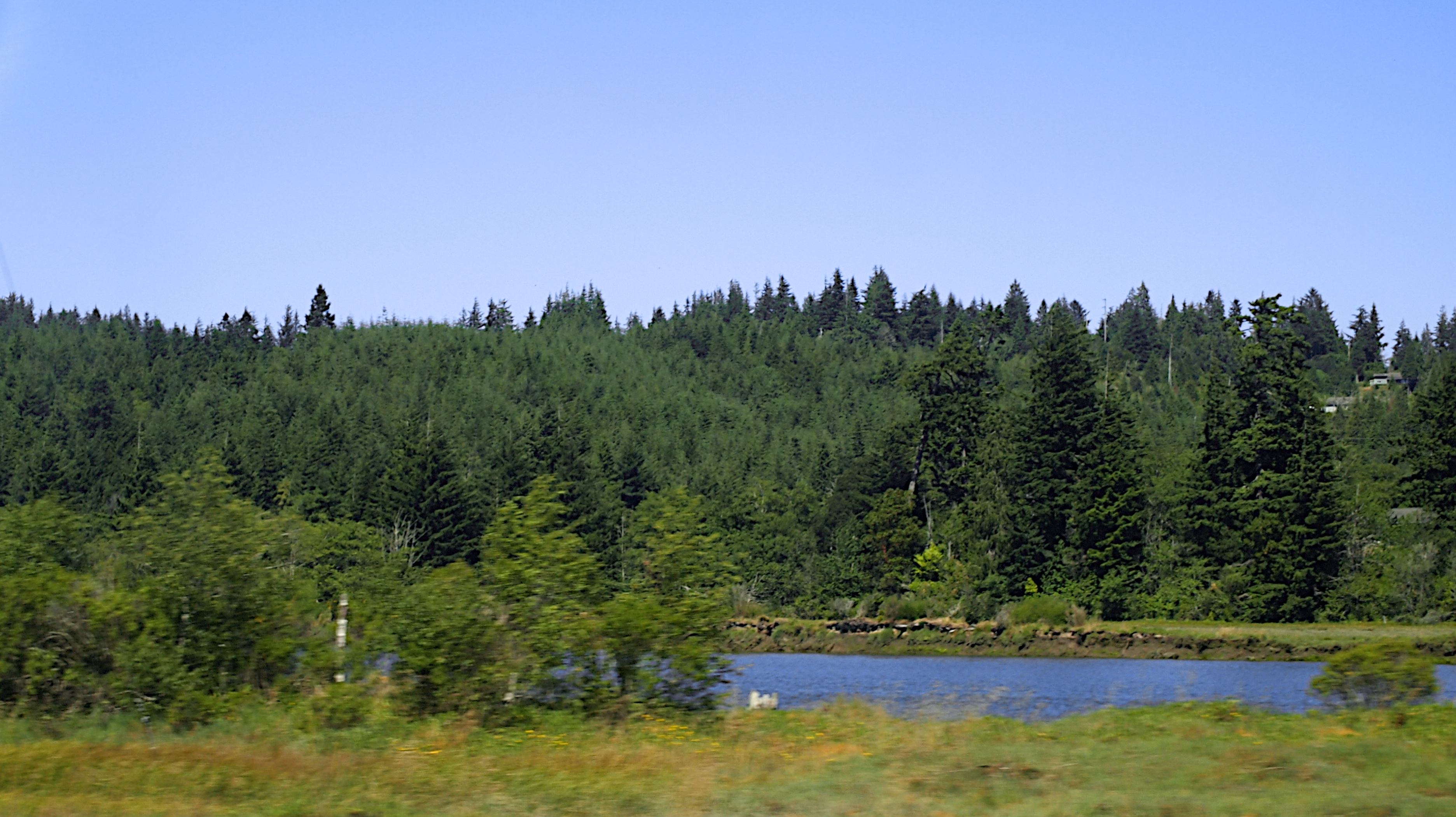
Johnson Mills Lake

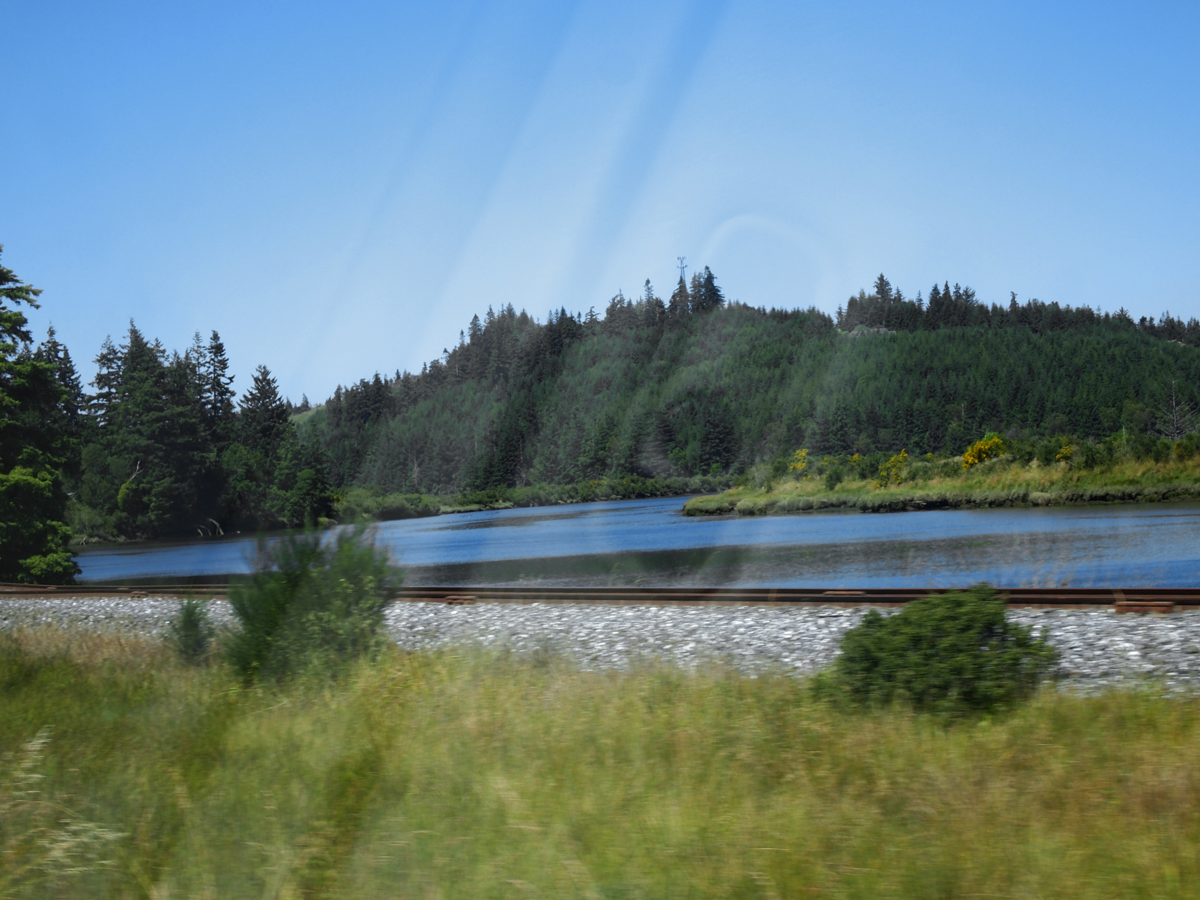
Route of proposed pipeline near Dora, MP 27

Coo's Bay Sunset
P6307111 HWY 101 20130630

Floating Logs

Mountain Home Dam Landscaping-14

Mountain Home Dam Landscaping-5

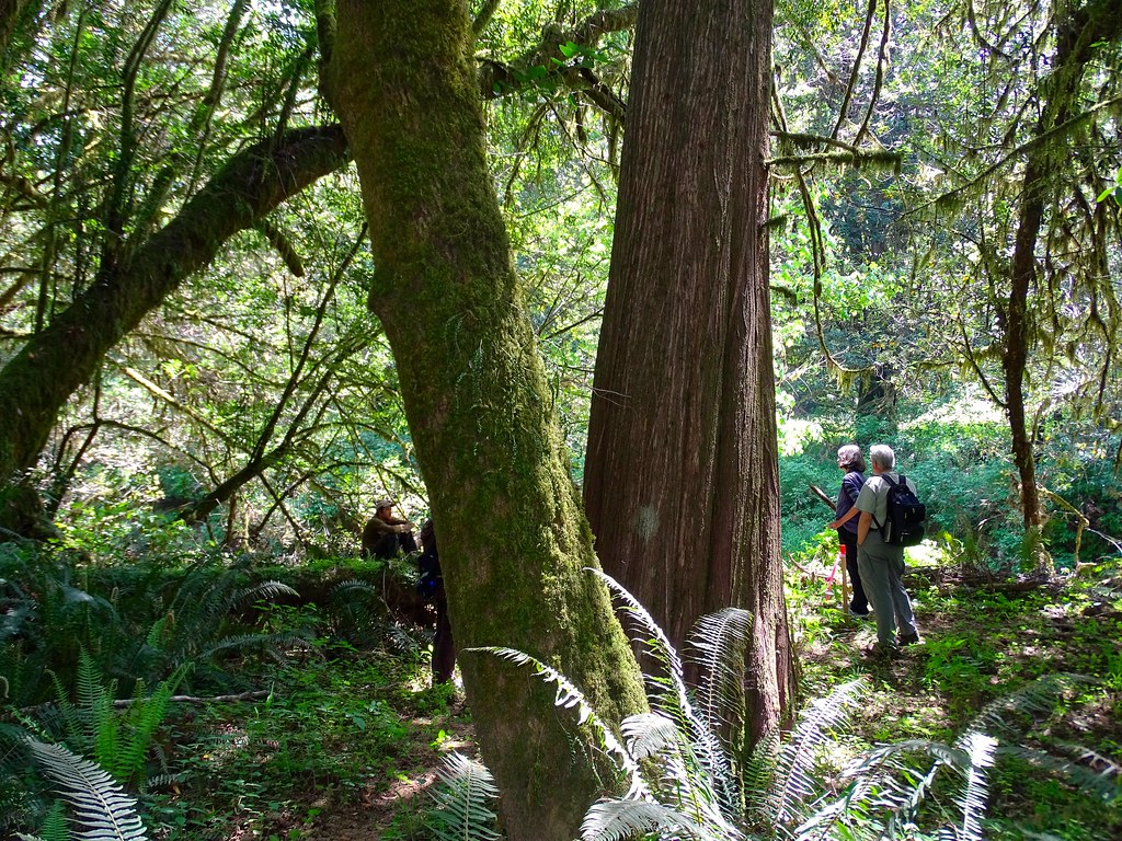
Coquille Outing

Mountain Home Dam Landscaping-18
P6307110 HWY 101 20130630

Route of proposed pipeline near Dora, MP 27
Route of proposed pipeline near Dora, MP 27

Mountain Home Dam Landscaping-7
P6307113 HWY 101 20130630

Food Forest East Side
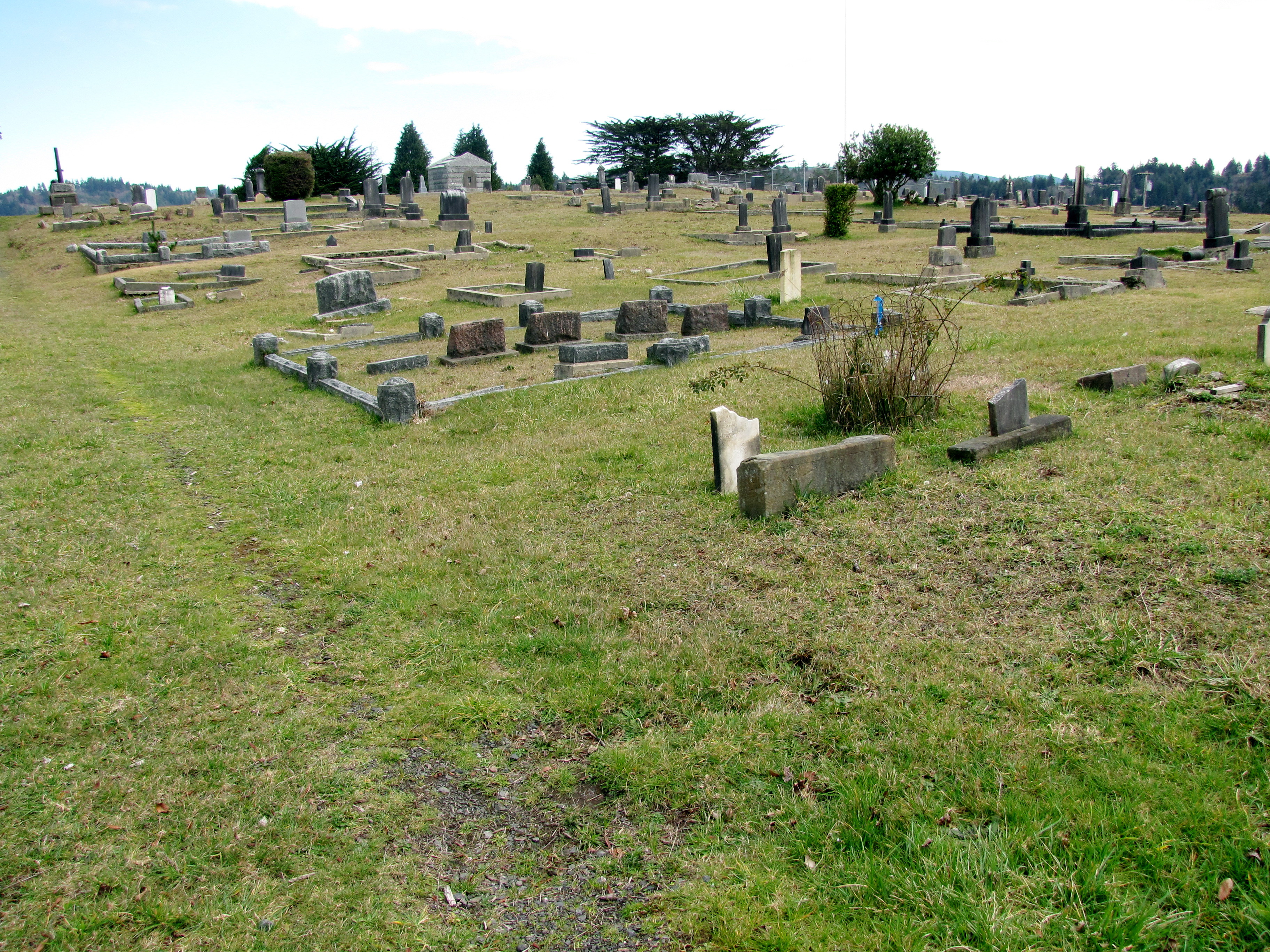
marshfield pioneer cemetery - coos bay, or
P6307114A HWY 101 20130630
Topographic Map of Coos County, OR, USA
Find elevation by address:

Places in Coos County, OR, USA:
Coos Bay
Bandon
Coquille
Bunker Hill
Barview
North Bend
7th Ave, Coos Bay, OR, USA
Bullards
Dew Valley
Fourmile
Templeton
Remote
Dora
Powers
Lakeside
Places near Coos County, OR, USA:
95625 Sumner-fairview Rd
60669 S Sumner Rd
95646 Coos Sumner Ln
61451 Lower Mattson Rd
Wren Smith Road
95280 Stock Slough Ln
Green Acres
93548 Upper Loop Ln
61540 Cold Stream Rd
94032 Brush Ln
95440 Lillian Slough Ln
62641 Olive Barber Rd
62901 Isthmus Heights Rd
61608 Mountain View Dr
Sunnyvale Lane
93685 Mckenna Ln
94846 Brunswick Ln
1675 Cedar Dr
668 10th Ave
63461 Flanagan Rd
Recent Searches:
- Elevation of Corso Fratelli Cairoli, 35, Macerata MC, Italy
- Elevation of Tallevast Rd, Sarasota, FL, USA
- Elevation of 4th St E, Sonoma, CA, USA
- Elevation of Black Hollow Rd, Pennsdale, PA, USA
- Elevation of Oakland Ave, Williamsport, PA, USA
- Elevation of Pedrógão Grande, Portugal
- Elevation of Klee Dr, Martinsburg, WV, USA
- Elevation of Via Roma, Pieranica CR, Italy
- Elevation of Tavkvetili Mountain, Georgia
- Elevation of Hartfords Bluff Cir, Mt Pleasant, SC, USA