Elevation of Crannog Rd, North Bend, OR, USA
Location: United States > Oregon > Coos County > North Bend >

Longitude: -124.21738

Latitude: 43.5237003

Elevation: 34m / 112feet

Barometric Pressure: 101KPa

Elevation Map:

elevation map of Crannog Rd, North Bend, OR, USA
Satellite Map:

Satellite map of Crannog Rd, North Bend, OR, USA
Related Photos:

oregon oysterfarm winchesterbay
Oyster Farm
ball hamilton briggs fritz
We're Back
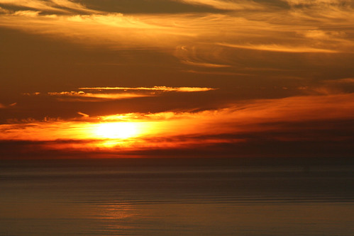
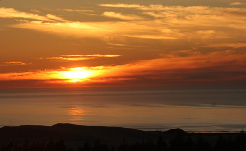
Sunset in Oregon 7
moss sand dunes danielcolvin digitalalchem
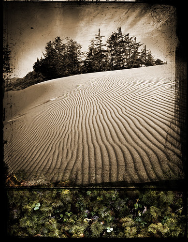
Wet And Dry
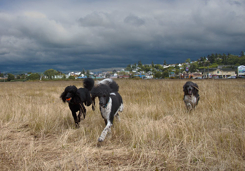
Fire Dog
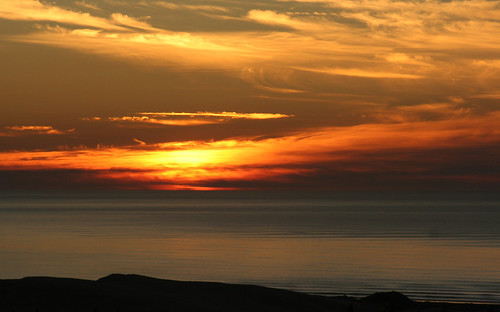
Sunset in Oregon 2
Sunset in Oregon 7
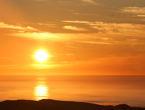
Sunset in Oregon 4
Sunset in Oregon 4
Sunset in Oregon 1
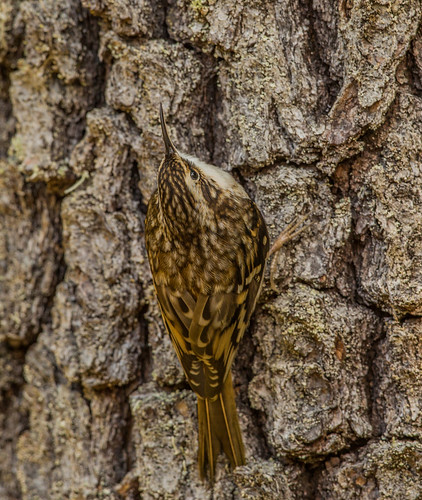
browncreeper creeper americantreecreeper treecreeper certhiaamericana certhia certhiidae nigelje tugmanstatepark oregon
Brown Creeper (Certhia americana)
Sunset in Oregon 5
Sunset in Oregon 3
bridge blue oregon concrete bay arch bend north mccullough coos
A Touch Of Blue
oregon sony airshow northbend a55 wingsoffreedom cooscounty northbendmunicipalairport sonyalpha sal16105 collingsinstitute
Bombardier's Room with a View -- DSC8090
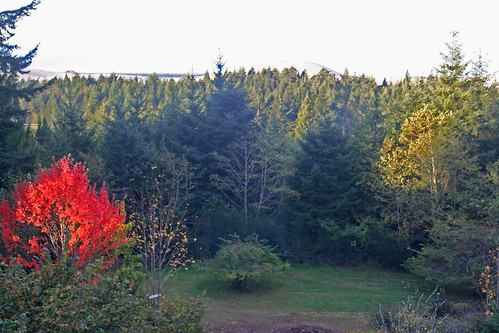
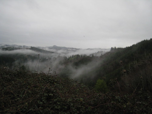
View from Heavy Horse Rd
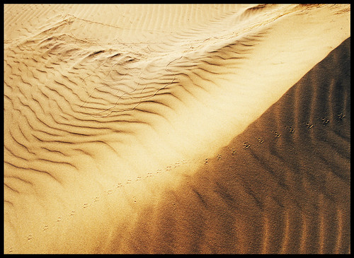
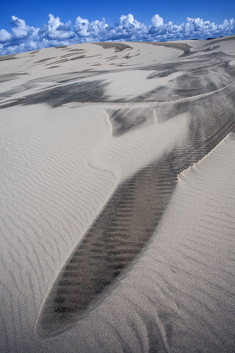
sand dune tracks danielcolvin
Tracks In The Sand
View from the Ron's house
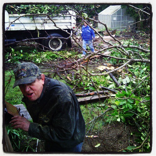
square lofi squareformat iphoneography instagramapp uploaded:by=instagram
View from where the sliding glass doors used to be
View from Heavy Horse Rd
oregondunes danielcolvin
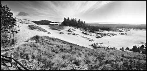
Oregon Dunes Pano
d7200 coosbay oregon unitedstates us
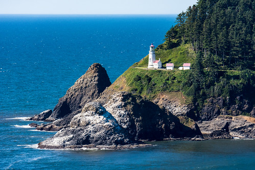
Heceta Head Lighthouse - Oregon Coast
sanddunes oregondunes
Oregon Dunes-Umpqua Dunes area.
usa oregon landscape coast sand reedsport photostyles
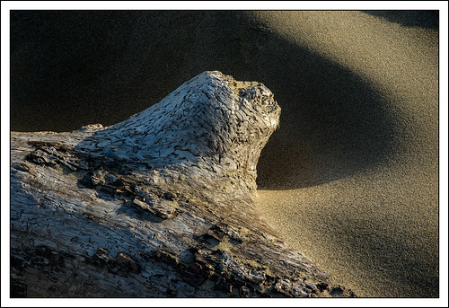
Textures of sand and wood - colour
Oregon Dunes
coosbay or usa
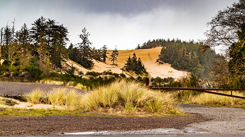
Sand Dunes Coos Bay Oregon
beach cloudy dunes landscapes nature oregon oregondunes sand shore
Oregon Dunes National Recreation Area, Oregon
dogchal
Monday Morning on the Beach
bridge water oregon canon river landscape photography bay photo highway picture powershot 101 hwy101 highway101 canonpowershot waterscape mccullough coosbay coos coosbayoregon canoncamera coosbayor coosbaybridge mcculloughbridge sx50 robinheath highway101bridge canonpowershotsx50 canonsx50 powershotsx50 hwy101bridge phototakeninoregon
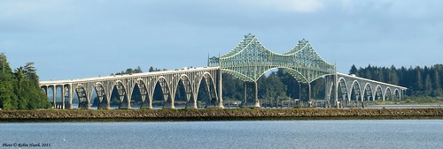
McCullough Bridge
Oregon Coast Adventure
sanddunes oregondunes
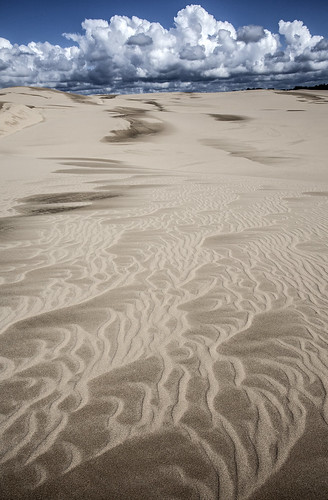
Oregon Dunes
2010-12-06_16-46-06_235
trees portrait selfportrait me nature oregon outside outdoors moss or naturallight ferns 2009 sigma1020mm 365days brighteyeslyrics nikond40 meredithfarmer imustbelongsomewhere
In truth the forest hears each sound, each blade of grass as it lies down
square squareformat amaro iphoneography instagramapp uploaded:by=instagram foursquare:venue=4e31acf818a837634f35f0b5
Maybe putting a fire in that fire pit would make everything all better ...
john dellenback dunes oregon national recreation area coast trail hiking tenmile creek lakeside reedsport
The world's biggest pile of sand
ocean flower art grass oregon florence sand nikon desert pacific or dune august hike lakeside trail oasis journey vegetation oregoncoast sanddunes oregondunes 2010 umpqua coosbay northbend reedsport oregondunesnationalrecreationarea nationalrecreationarea usfs tenmile winchesterbay umpquariver siuslawriver siuslaw unitedstatesforestservice d40x worldofarun eelcreek coosriver arunyenumula
The curve of the sand dune
william tugman state park eel lake creek bandon coos bay north bend oregon hiking coast
Tranquil cove of Eel Lake
lakemarieor hff fencefriday samsungs8 ipiccy lightroom
A bench by the lake