Elevation of Airport Ridge Ln, North Bend, OR, USA
Location: United States > Oregon > Coos County > North Bend >
Longitude: -124.19828
Latitude: 43.4833933
Elevation: 82m / 269feet
Barometric Pressure: 100KPa
Elevation Map:
Satellite Map:
Related Photos:
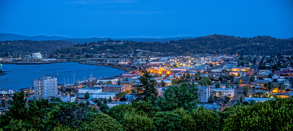
Early evening--DSC01859--Coos Bay, Oregon

Fire Dog

Coos Mural
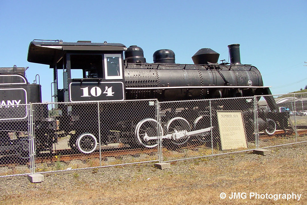
Coos Bay Lumber Company No. 104
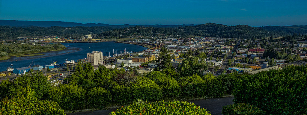
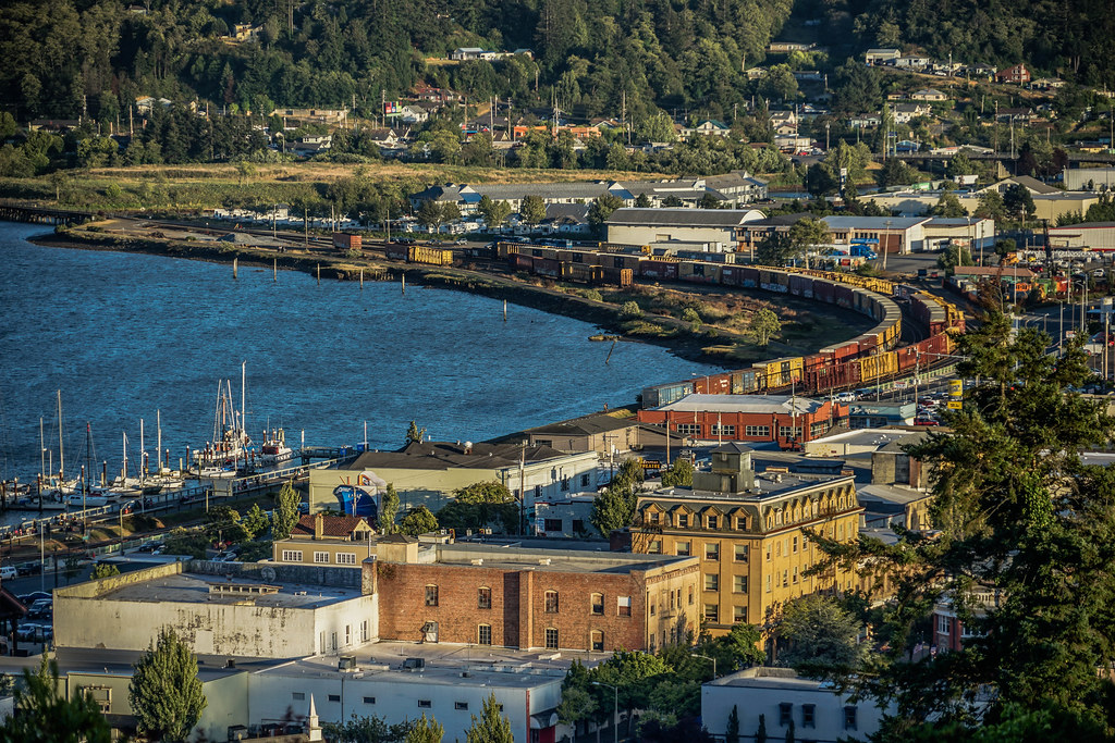
View from Telegraph Hill--DSC01847--Coos Bay, OR

A Touch Of Blue

Bombardier's Room with a View -- DSC8090
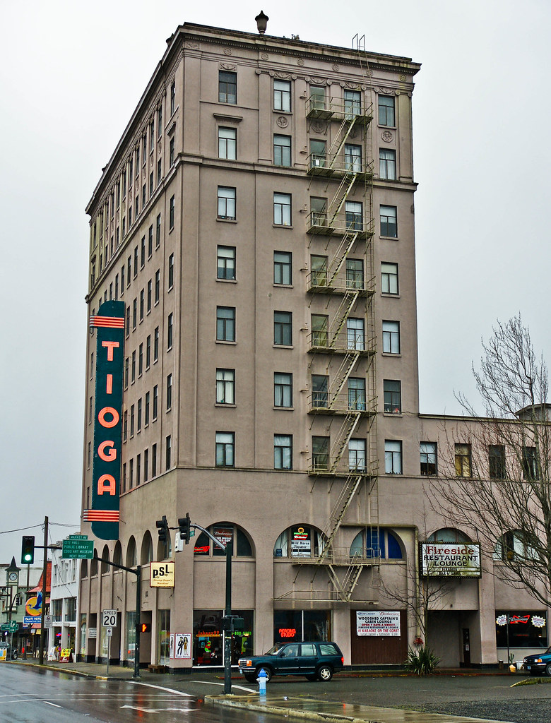
Old Tioga Hotel, Coos Bay, Oregon - DSC03113

Old Tioga Hotel, Coos Bay, Oregon - DSC03118

View from Telegraph Hill--DSC00309--Coos Bay, OR
We're Back

View from where the sliding glass doors used to be
The old Tioga Hotel -- DSC05996
View from Telegraph Hill--DSC01845--Coos Bay, OR
CORP Central Oregon & Pacific Coos Bay, Oregon series, # 2

Coos Bay 1
View from Telegraph Hill--DSC00314--Coos Bay, OR
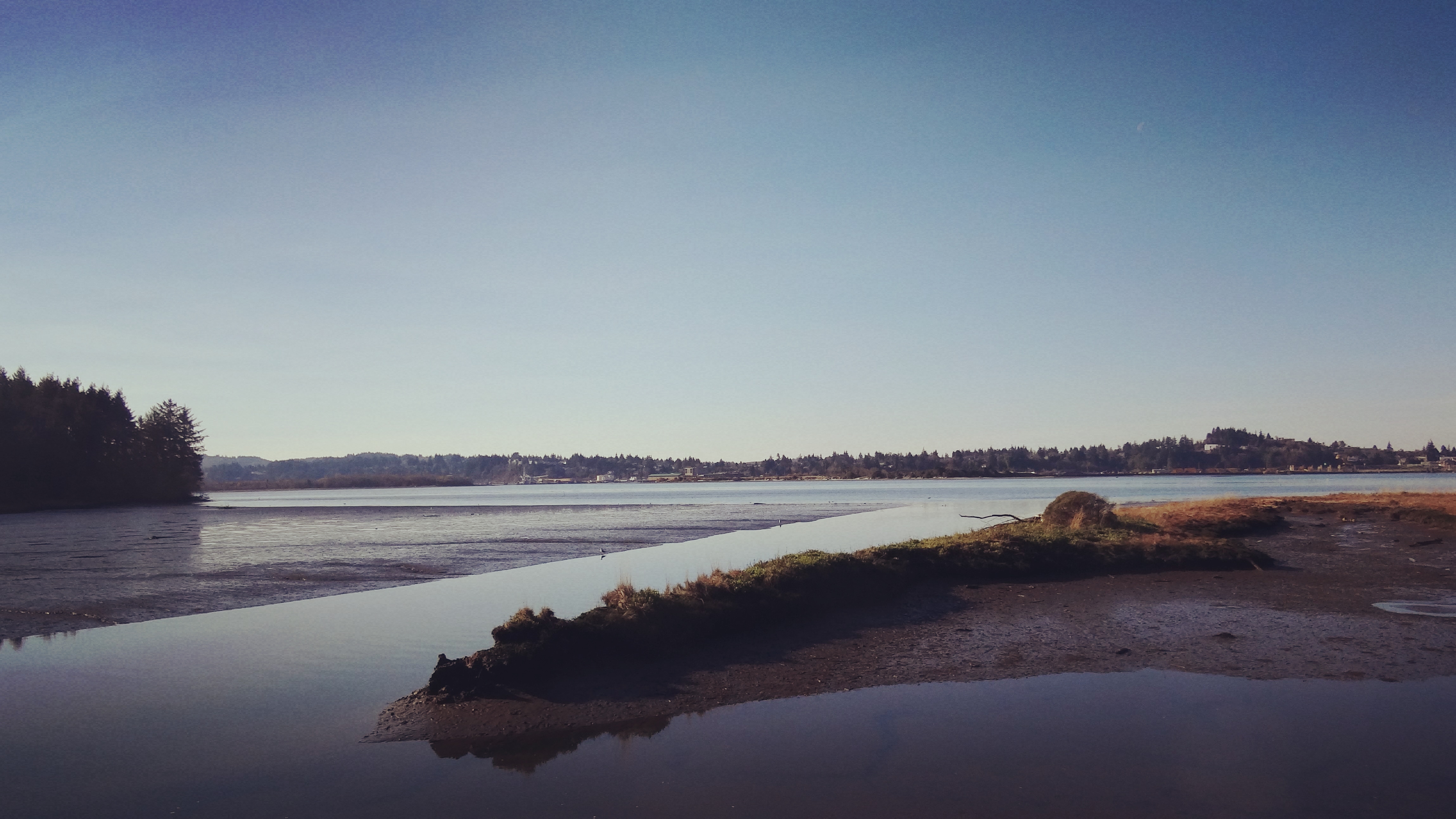
Crossbay view of Coos Bay
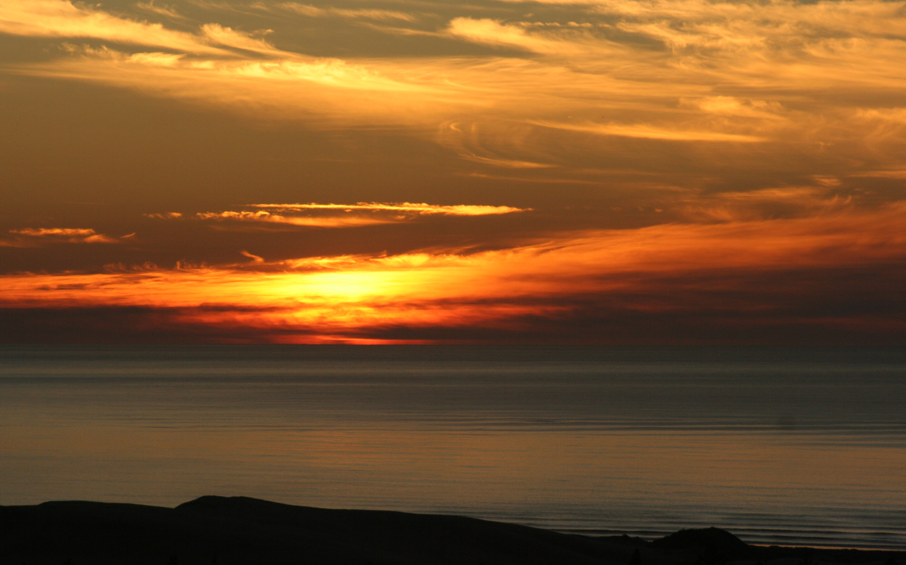
Sunset in Oregon 7
Wet And Dry
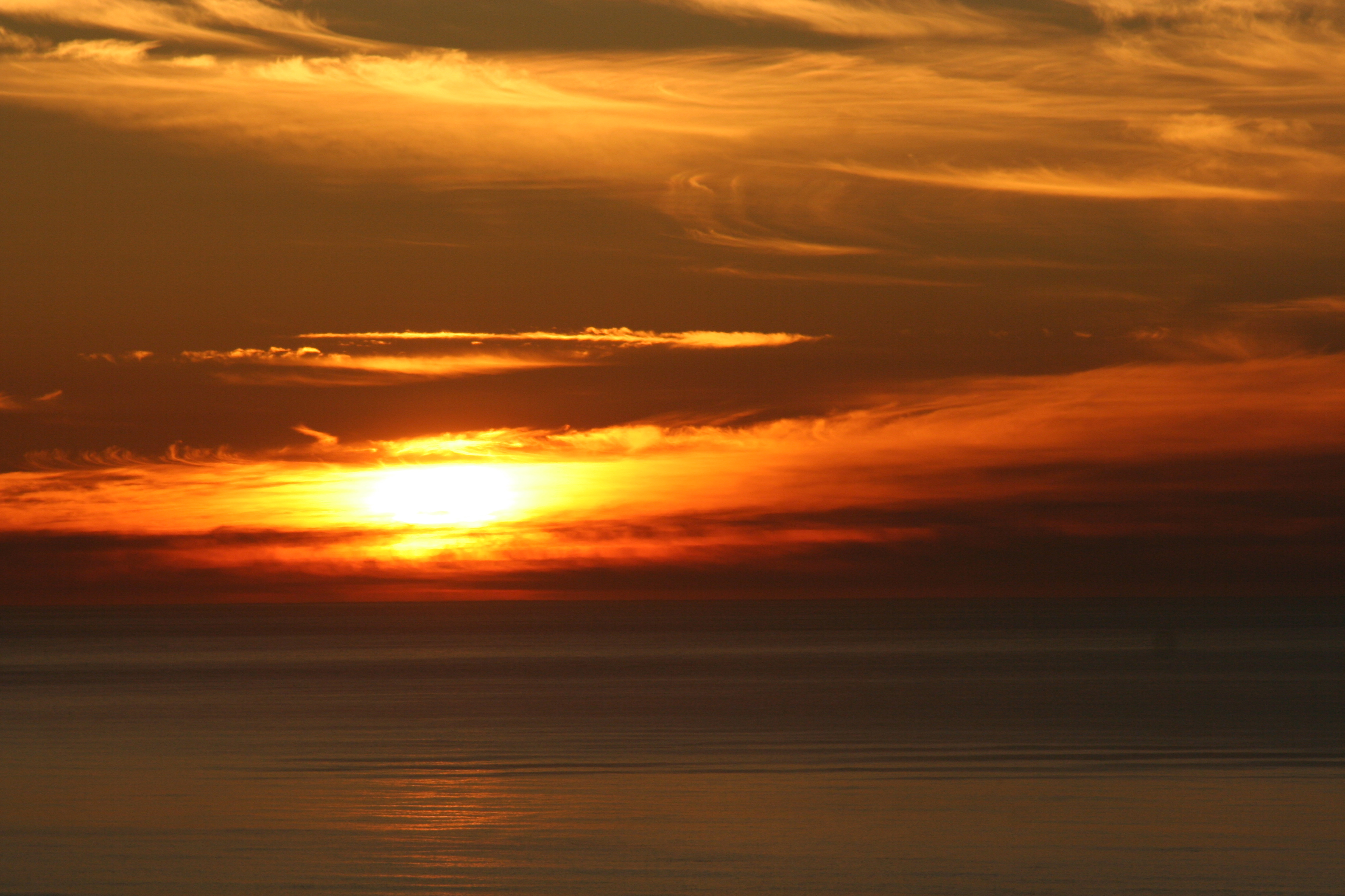
Sunset in Oregon 2

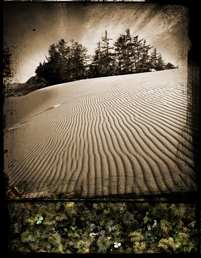
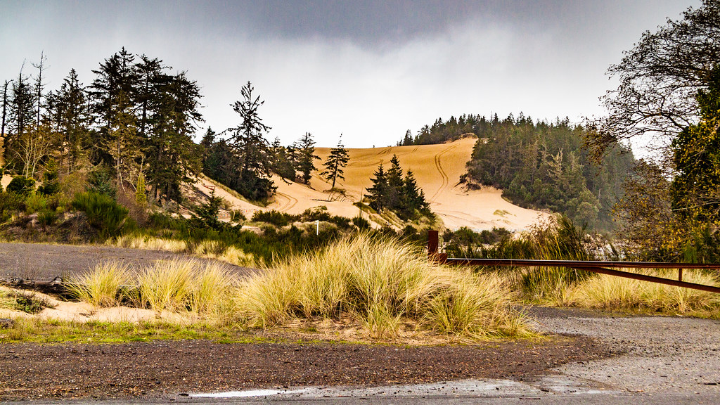
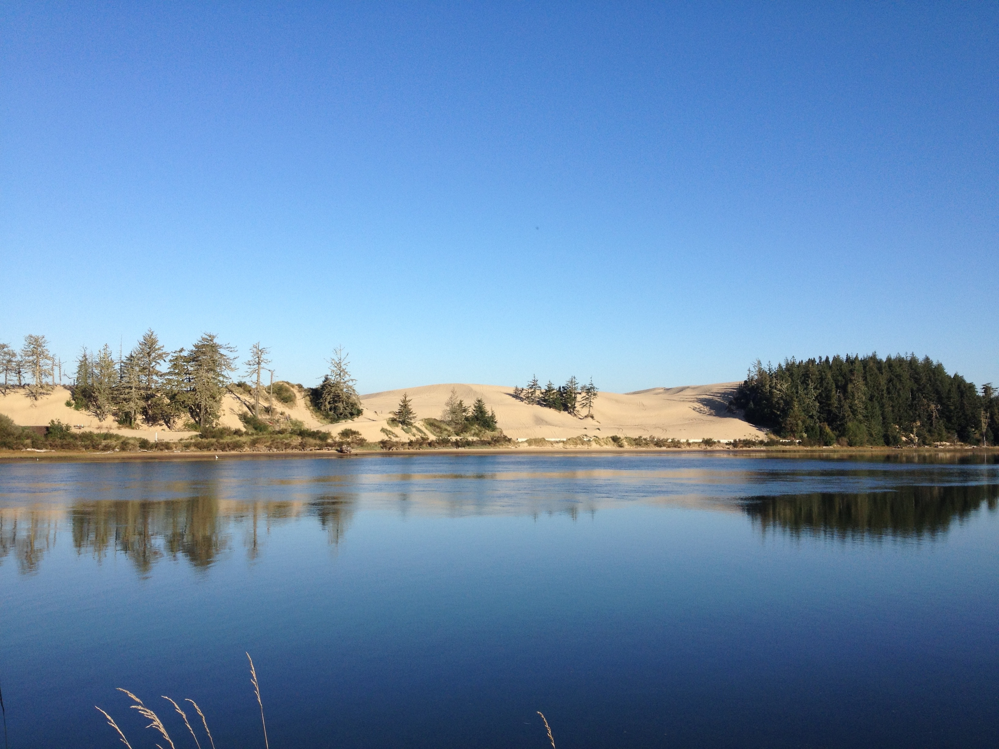
Oregon Dunes
Sand Dunes Coos Bay Oregon

McCullough Bridge
Oregon Dunes
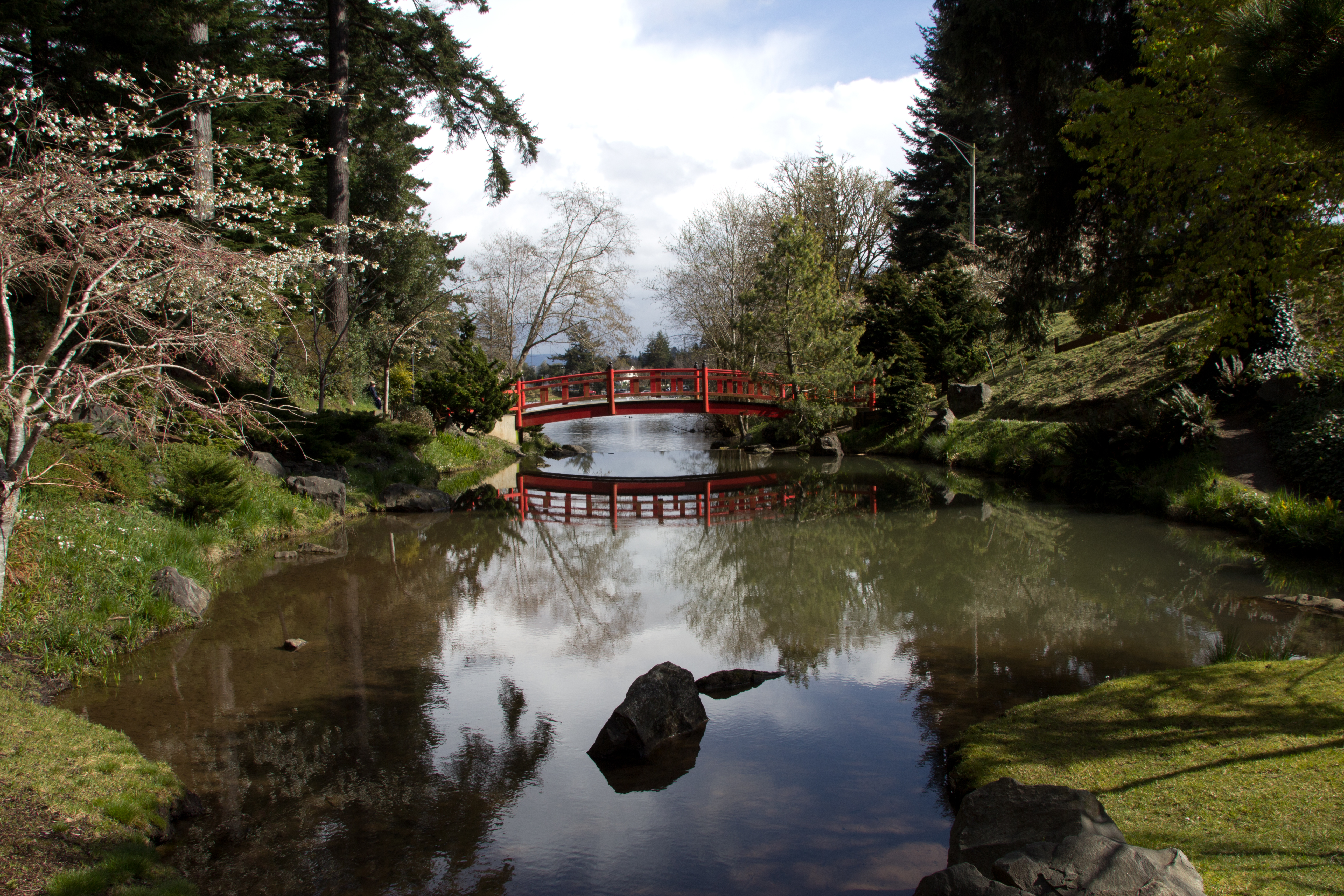
Mingus Park

Maybe putting a fire in that fire pit would make everything all better ...

CORP on the Coast
Sunset in Oregon 5
Sunset in Oregon 3
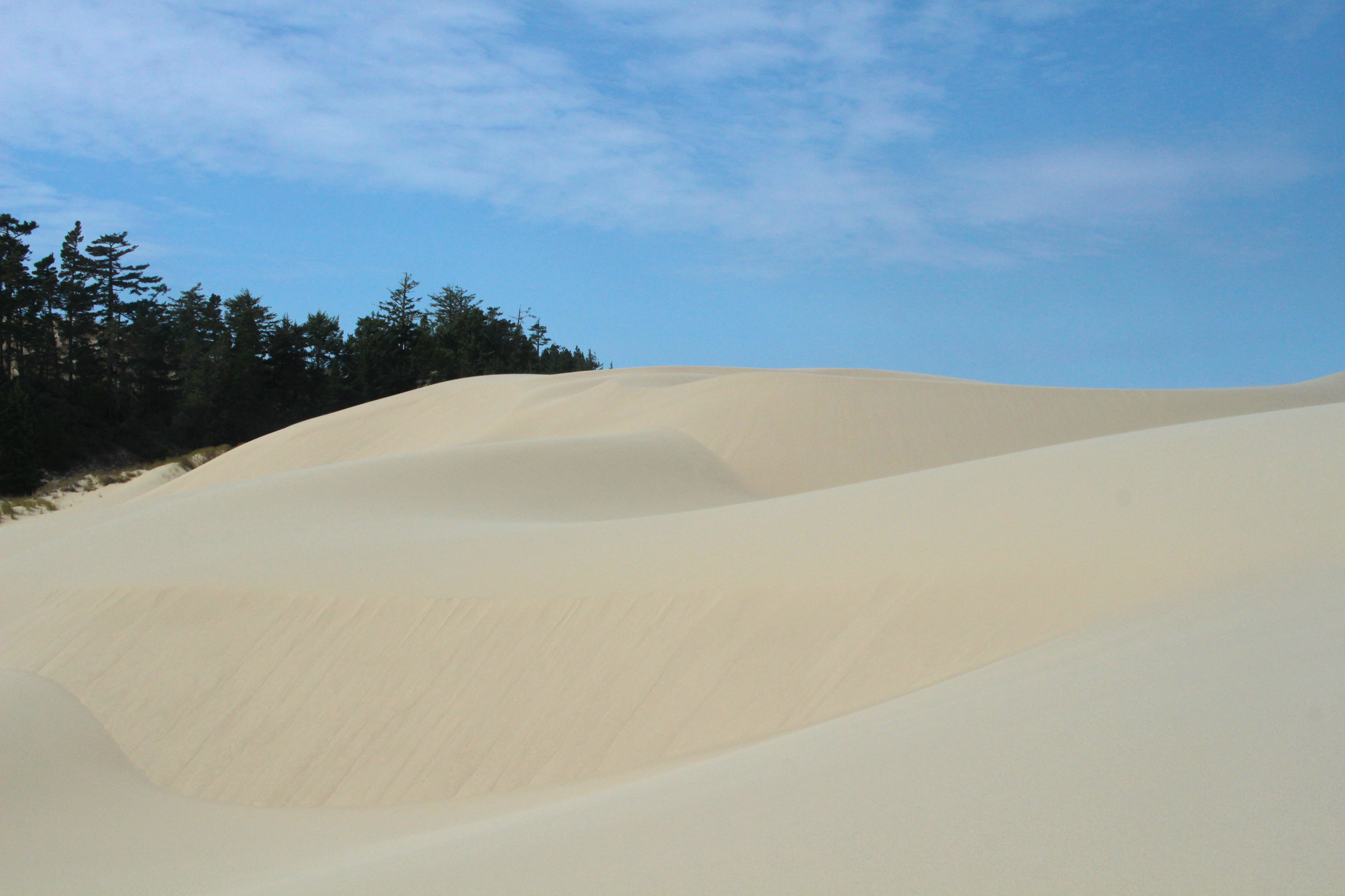
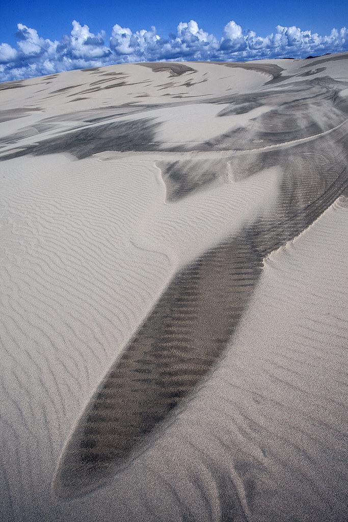
Mountain of sand
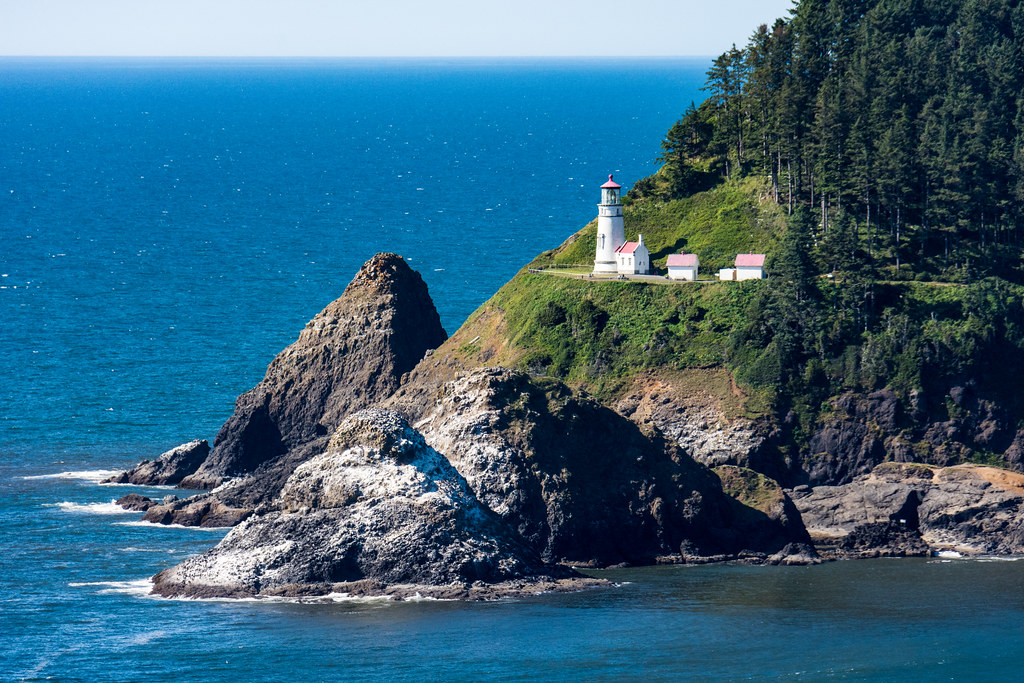
Heceta Head Lighthouse - Oregon Coast

Oregon Dunes
Oregon Dunes
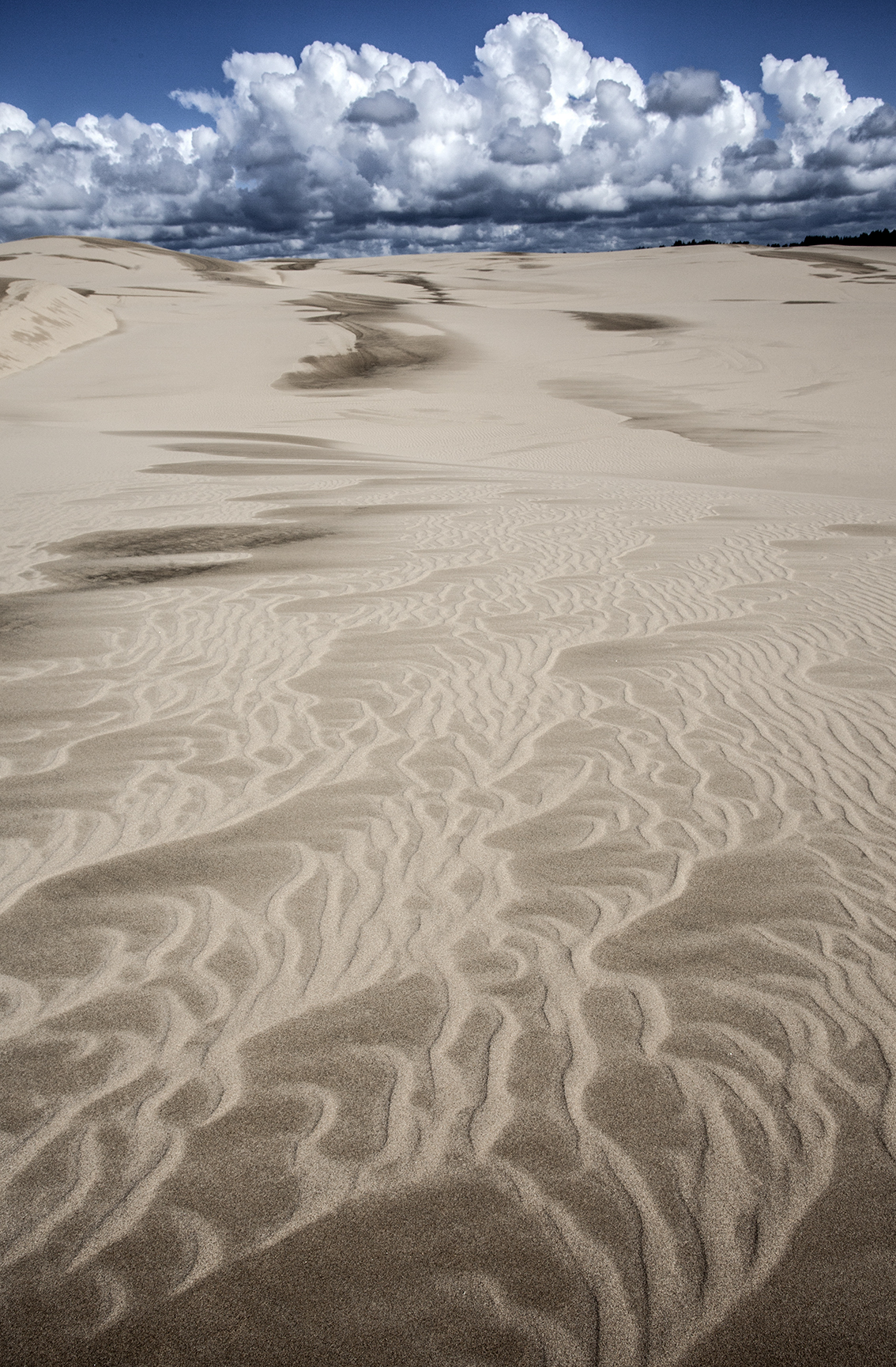
Oregon Dunes-Umpqua Dunes area.

Oregon Dunes National Recreation Area, Oregon
Monday Morning on the Beach
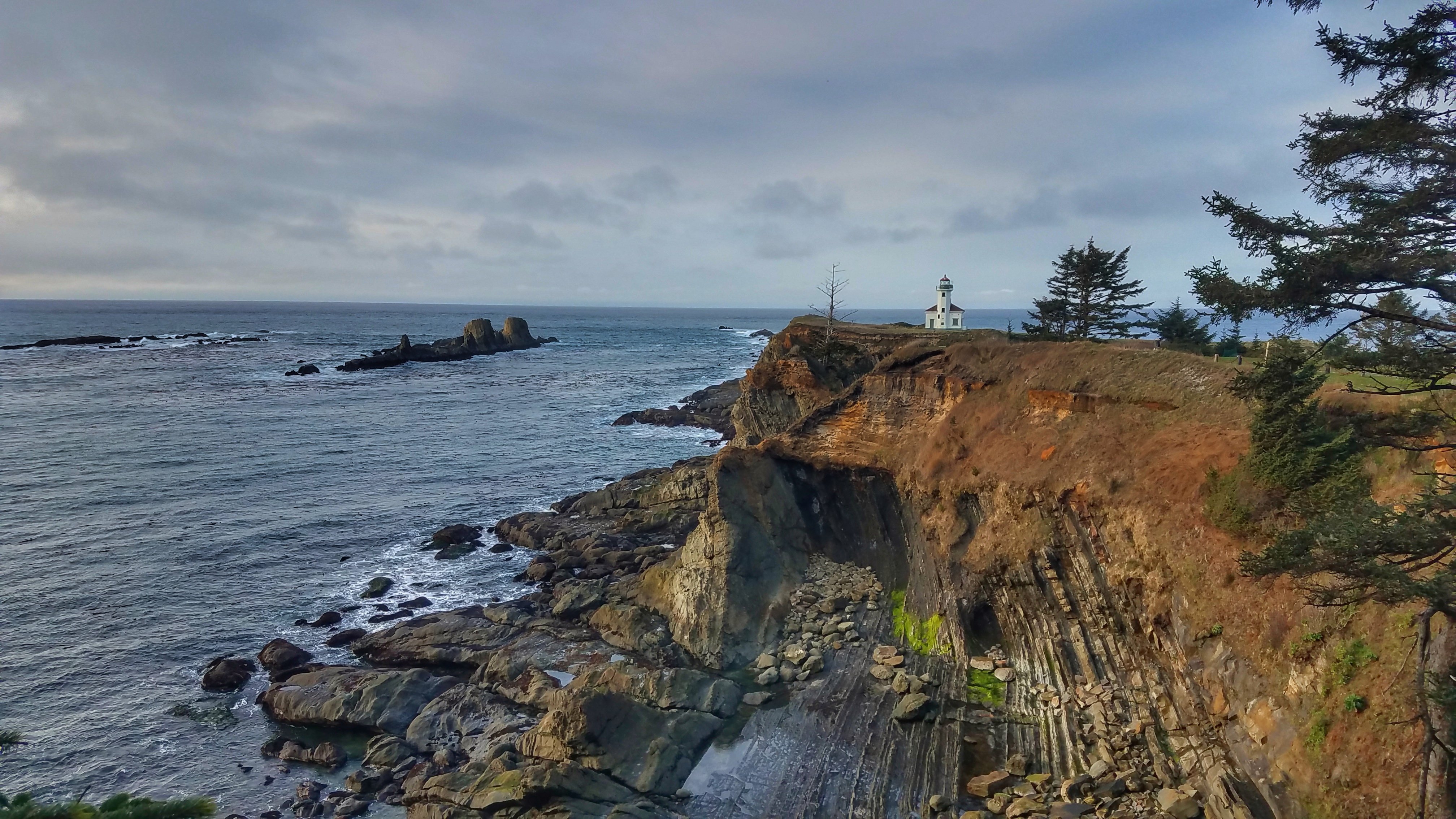
Oregon Coast Adventure
Topographic Map of Airport Ridge Ln, North Bend, OR, USA
Find elevation by address:

Places near Airport Ridge Ln, North Bend, OR, USA:
68276 Collier Rd
68267 Ridge Rd
Dixie Road
93781 Devereux Ln
94753 Haynes Way Ln
93711 Hollow Stump Ln
68756 Burgundy Rd
94157 Larson Ln
69323 Wildwood Dr
69323 Wildwood Rd
93734 Hillcrest Ln
93690 Orca Ln
69899 Ridling Rd
66821 Robin Rd
69872 Crannog Rd
93511 Shady Ln
69447 Circle Loop
936 Eagle Ln
936 Eagle Ln
94287 Carlson Heights Ln
Recent Searches:
- Elevation of Corso Fratelli Cairoli, 35, Macerata MC, Italy
- Elevation of Tallevast Rd, Sarasota, FL, USA
- Elevation of 4th St E, Sonoma, CA, USA
- Elevation of Black Hollow Rd, Pennsdale, PA, USA
- Elevation of Oakland Ave, Williamsport, PA, USA
- Elevation of Pedrógão Grande, Portugal
- Elevation of Klee Dr, Martinsburg, WV, USA
- Elevation of Via Roma, Pieranica CR, Italy
- Elevation of Tavkvetili Mountain, Georgia
- Elevation of Hartfords Bluff Cir, Mt Pleasant, SC, USA