Elevation of Red Bluff, CA, USA
Location: United States > California > Tehama County >
Longitude: -122.23583
Latitude: 40.1784886
Elevation: 93m / 305feet
Barometric Pressure: 100KPa
Elevation Map:
Satellite Map:
Related Photos:
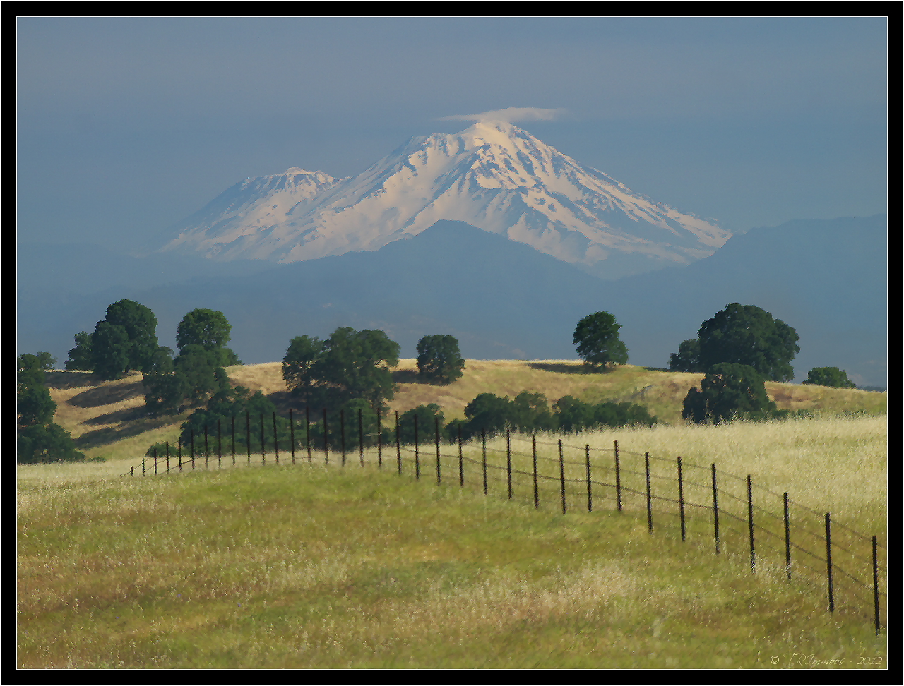
Mount Shasta - A Telephoto Landscape
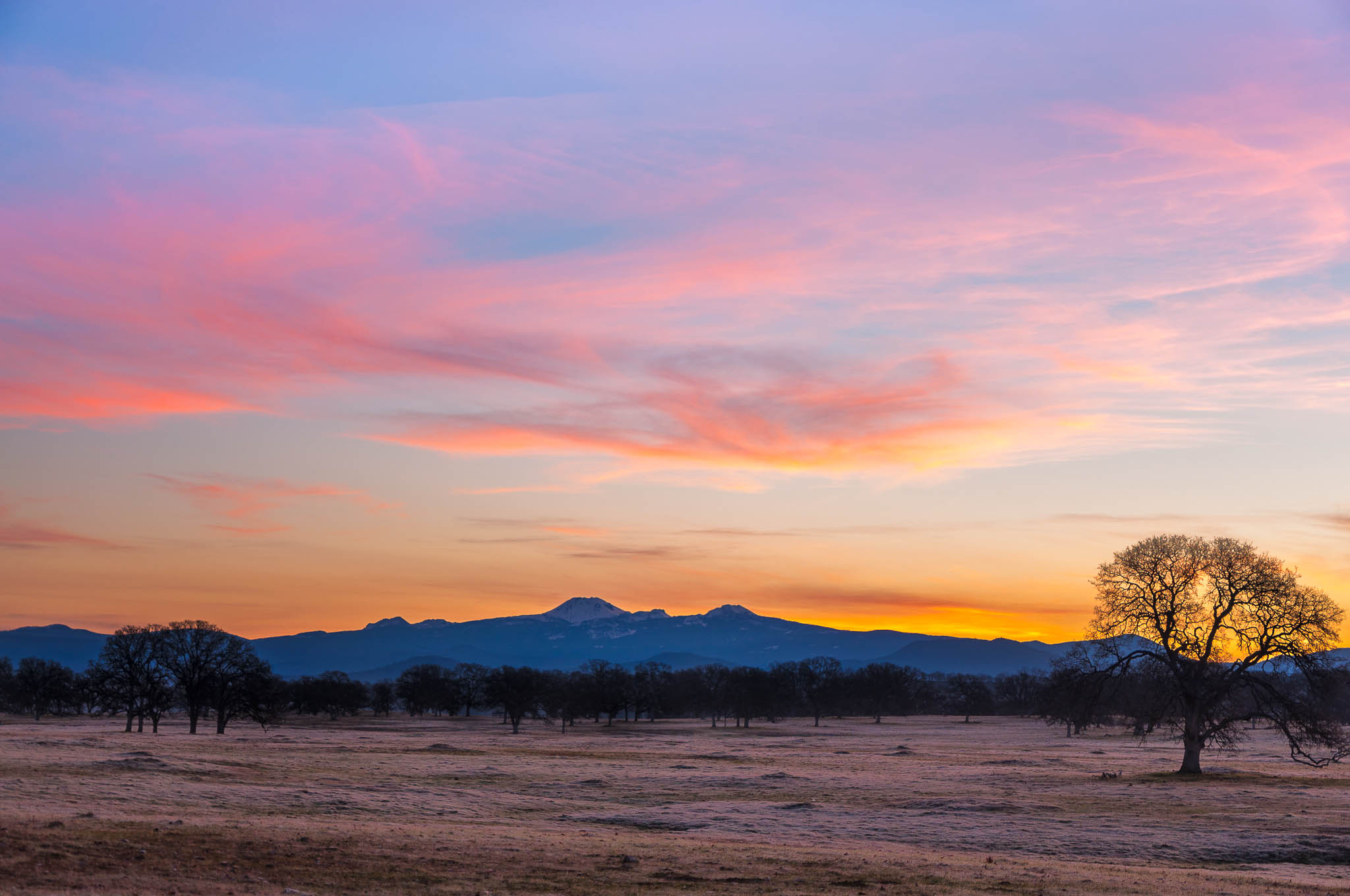
Oh yeah! (Mt. Lassen Sunrise)

Iron Canyon Loop
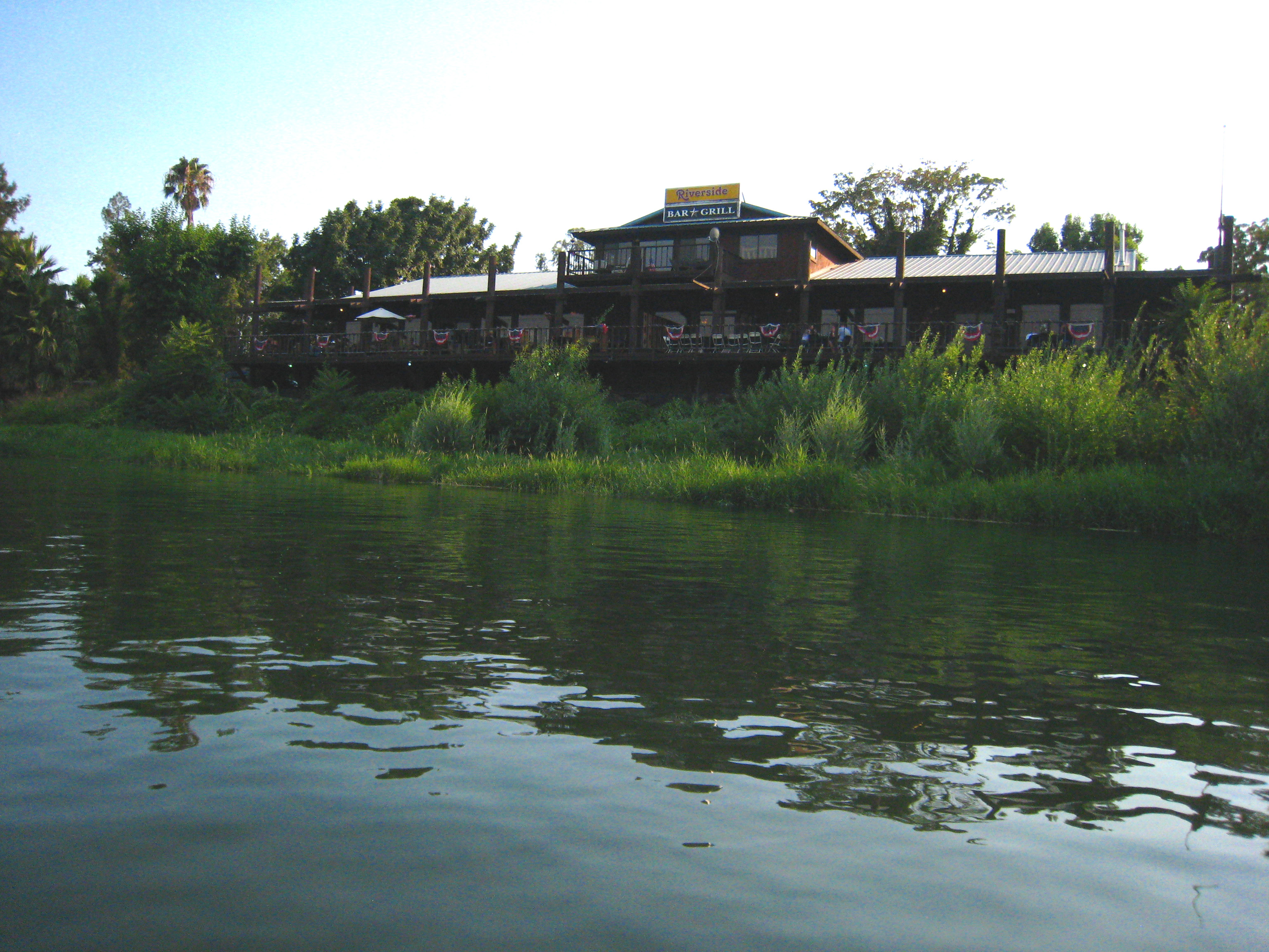
Riverside Bar and Grill

View from my evening walk. #instacamp

View from the car (don't worry...
Topographic Map of Red Bluff, CA, USA
Find elevation by address:

Places in Red Bluff, CA, USA:
Pryor Rd, Red Bluff, CA, USA
State Hwy 99w, Red Bluff, CA, USA
Colyer Springs Rd, Red Bluff, CA, USA
Colyer Springs Rd, Red Bluff, CA, USA
Lyn Ellen Drive
Penner Drive
Frantz Drive
Brent Rd, Red Bluff, CA, USA
Nirvana Ranch Rd, Red Bluff, CA, USA
Kauffman Ave, Red Bluff, CA, USA
CA-36, Red Bluff, CA, USA
Vestal Rd, Red Bluff, CA, USA
Nirvana Ranch Rd, Red Bluff, CA, USA
Red Bank Rd, Red Bluff, CA, USA
Via Del Roble
Middletree Ranch Road
Vestal Road
Bend
Red Bluff, CA, USA
Places near Red Bluff, CA, USA:
855 Lakeside Dr
Villa Columbia
1125 Aloha St
350 Gilmore Rd Spc 6
1435 Aloha St
22048 Grove Cir
1720 Douglass St
910 Hasvold Dr
13301 Baker Rd
Via Del Roble
21310 Wilcox Rd
Middletree Ranch Road
14900 Mccoy Rd
State Hwy 99w, Red Bluff, CA, USA
Brent Rd, Red Bluff, CA, USA
15965 E Wallen Rd
Bend
22495 Vía Pasado
Penner Drive
Red Bluff
Recent Searches:
- Elevation of Corso Fratelli Cairoli, 35, Macerata MC, Italy
- Elevation of Tallevast Rd, Sarasota, FL, USA
- Elevation of 4th St E, Sonoma, CA, USA
- Elevation of Black Hollow Rd, Pennsdale, PA, USA
- Elevation of Oakland Ave, Williamsport, PA, USA
- Elevation of Pedrógão Grande, Portugal
- Elevation of Klee Dr, Martinsburg, WV, USA
- Elevation of Via Roma, Pieranica CR, Italy
- Elevation of Tavkvetili Mountain, Georgia
- Elevation of Hartfords Bluff Cir, Mt Pleasant, SC, USA